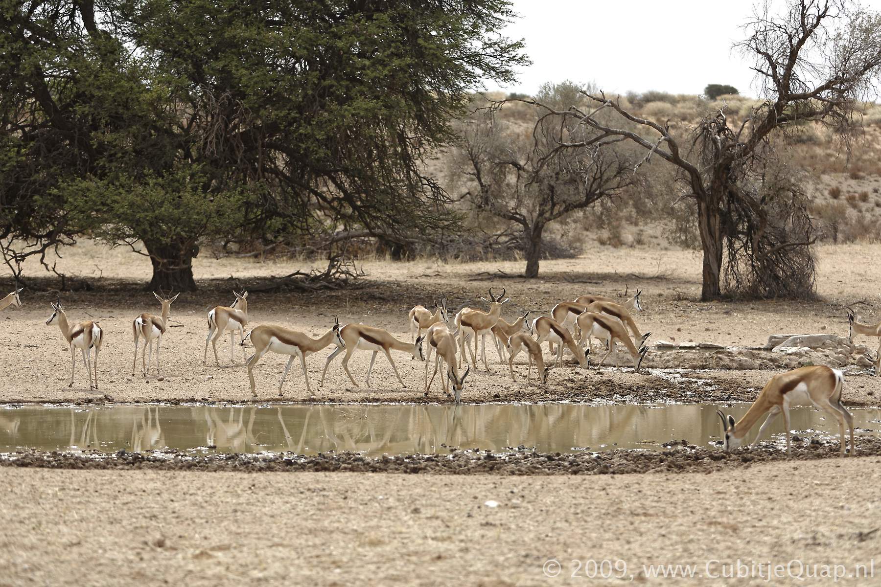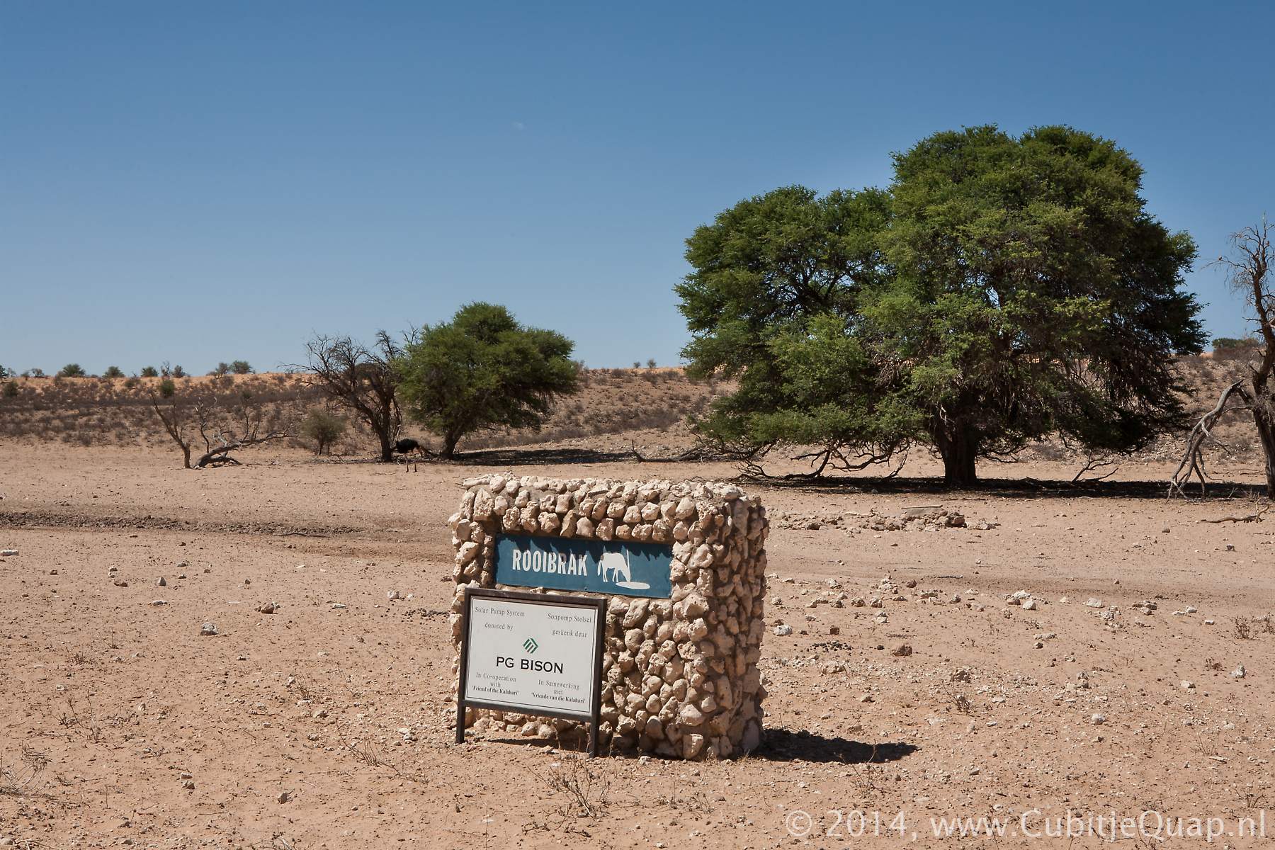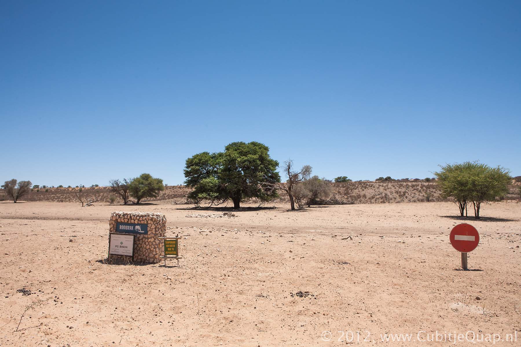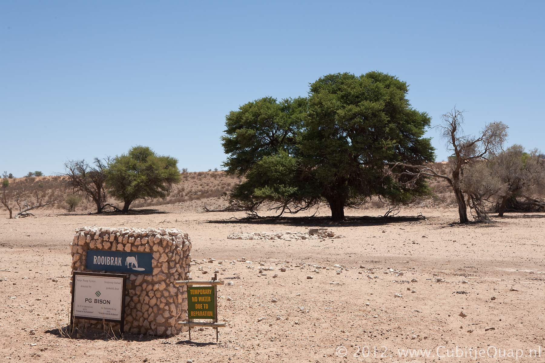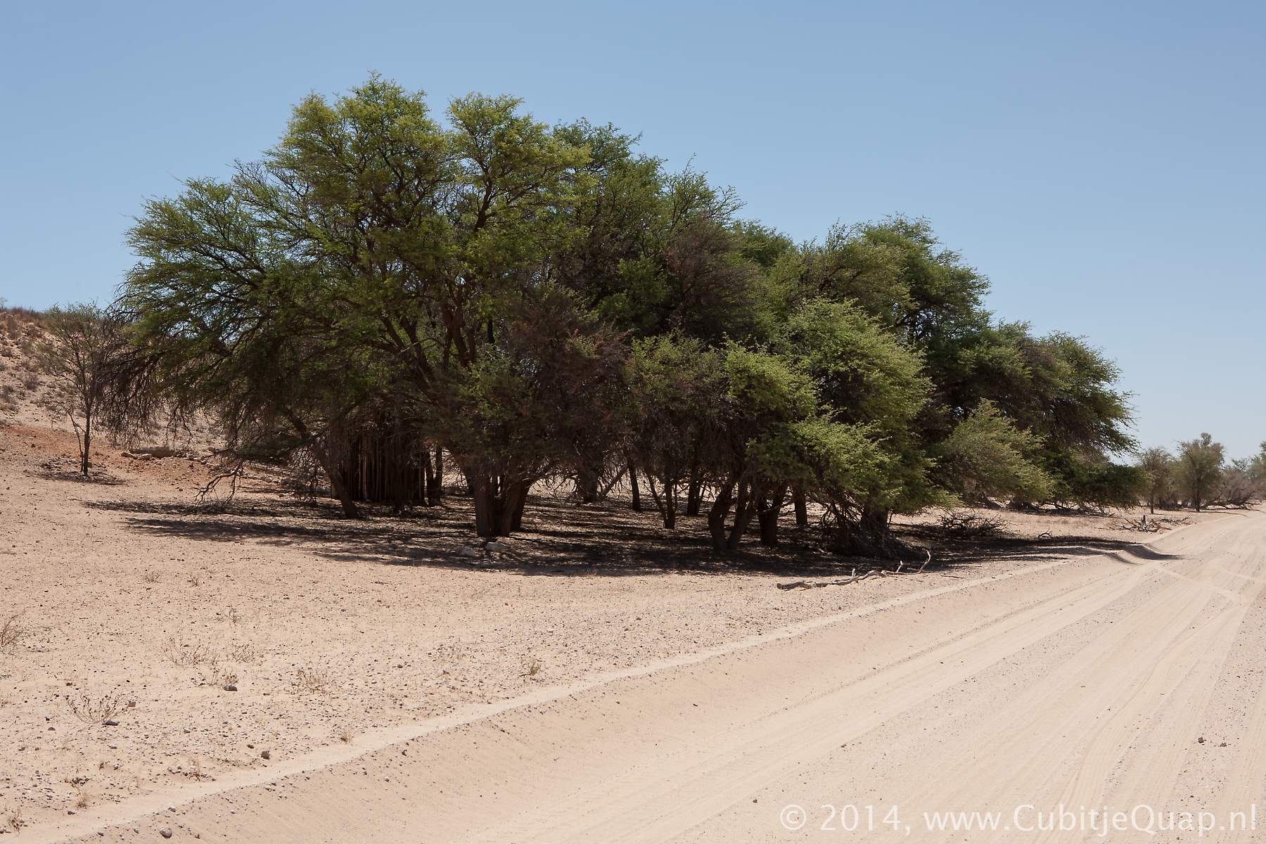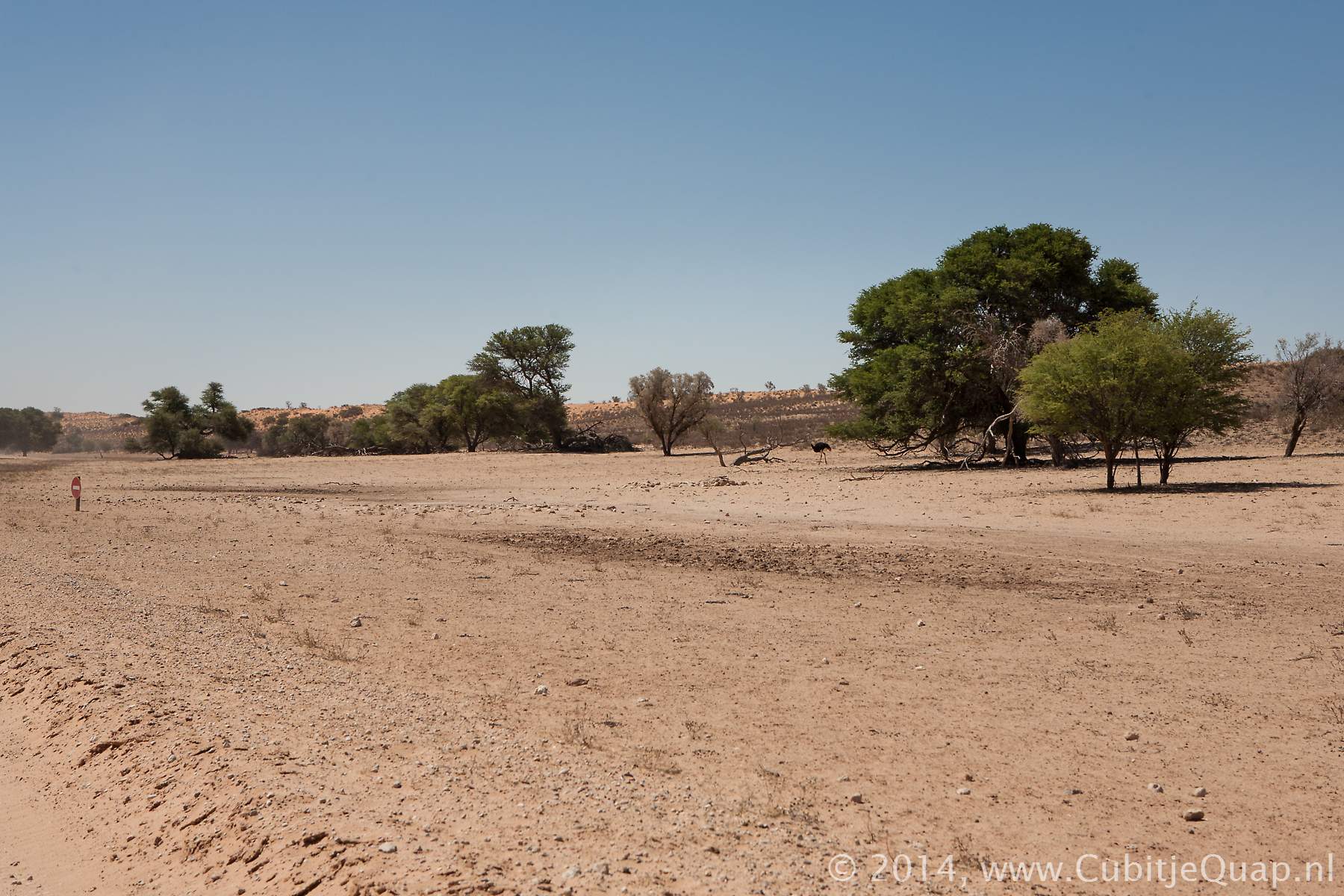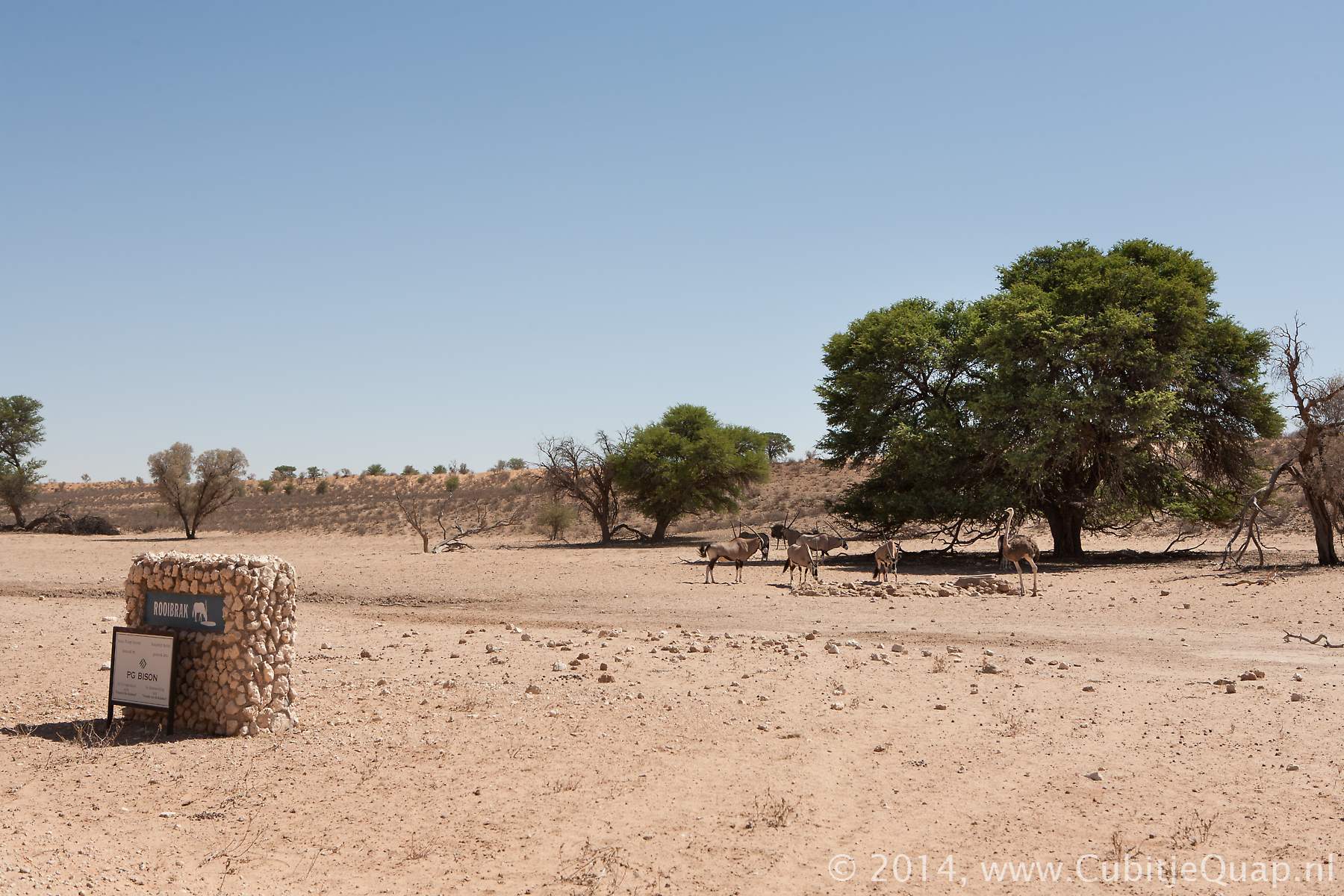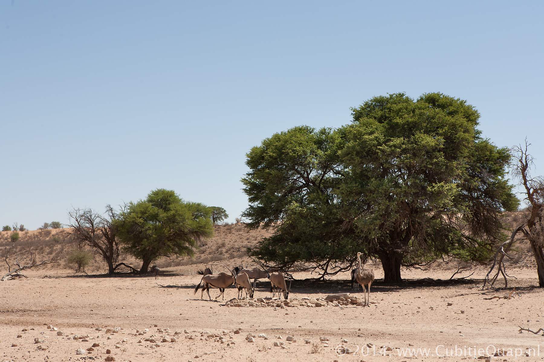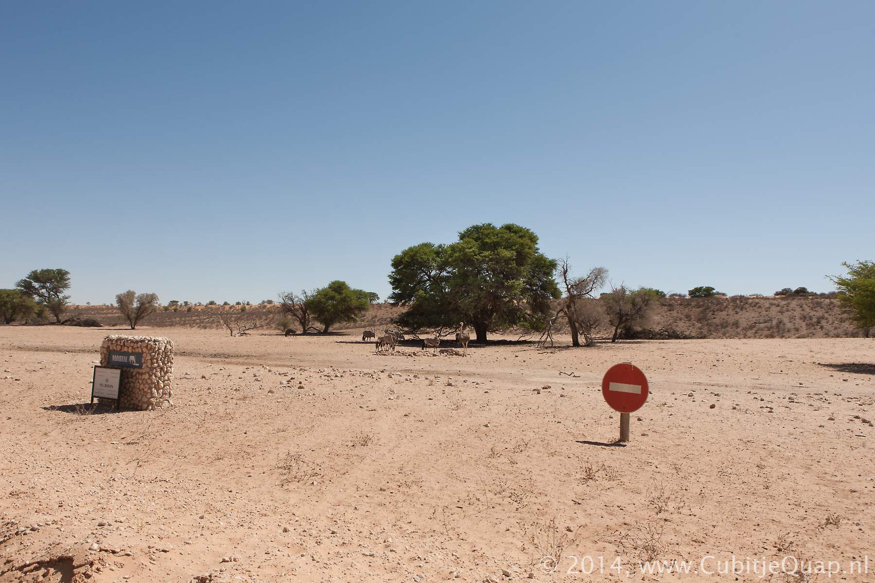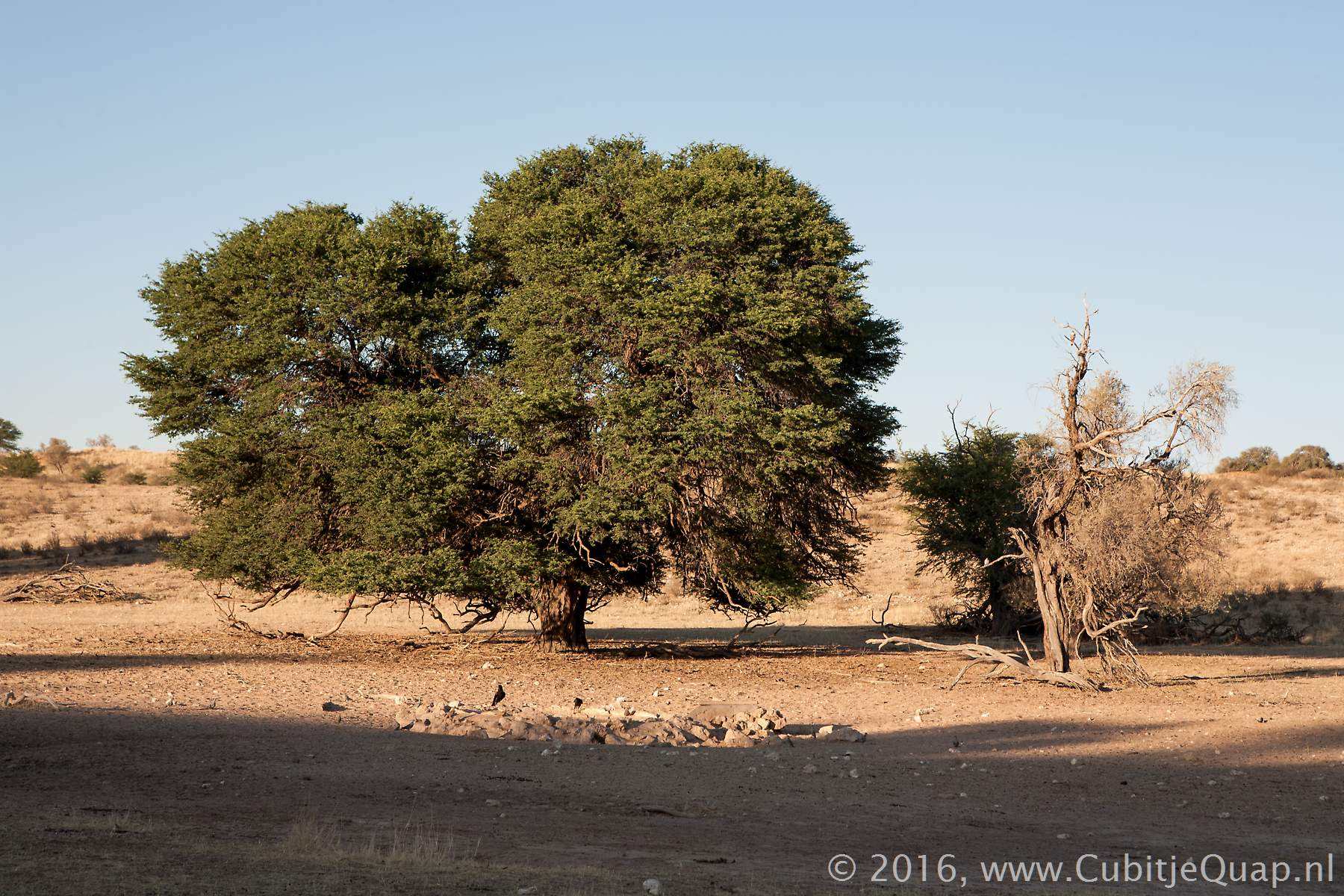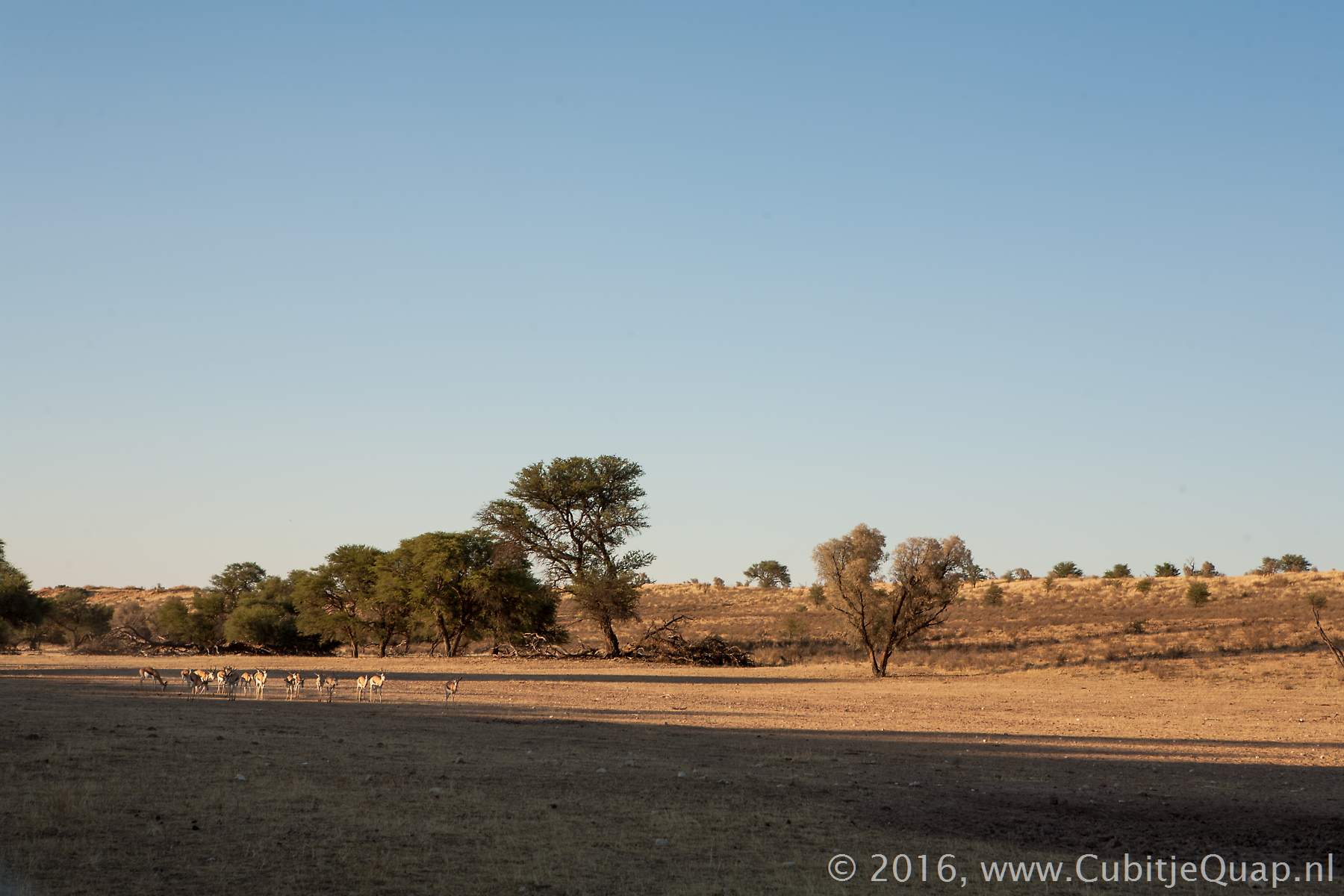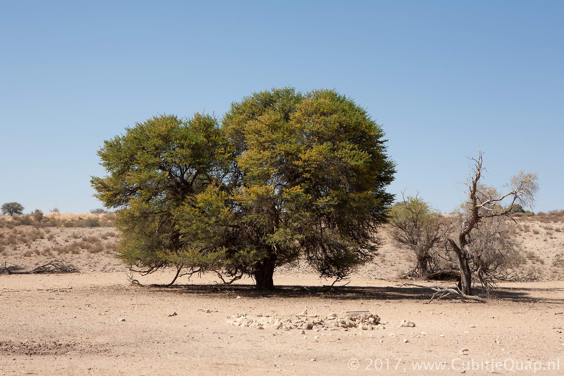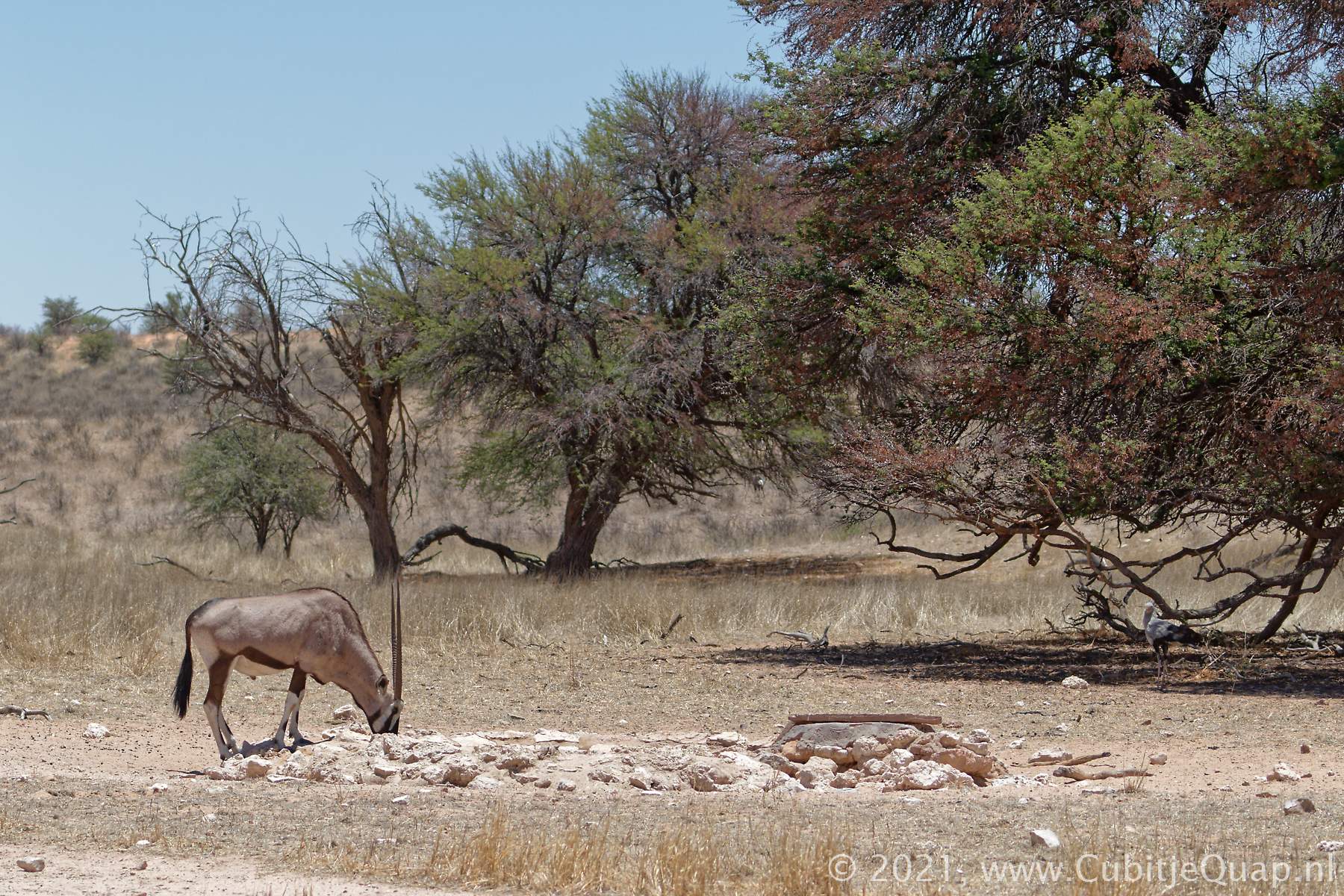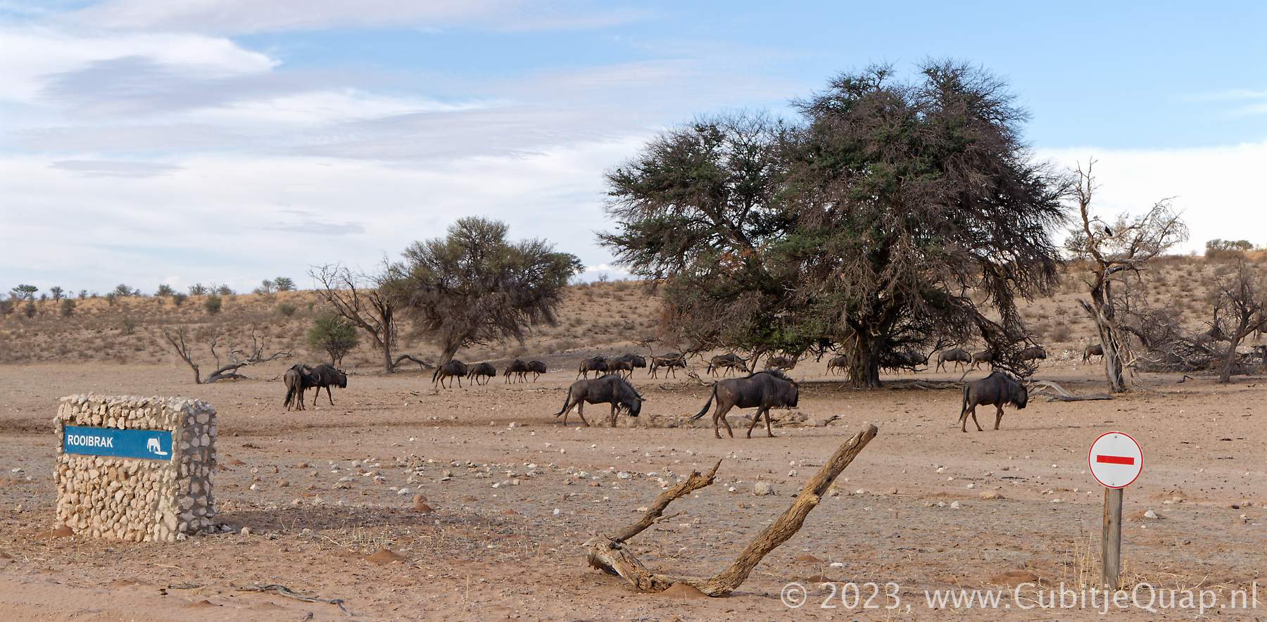
Rooibrak waterhole
Explanation of name: (english: red brack) The name refers to the reddish underground and the brackish water in the area.Photography: The waterhole is about 50 meters to the east side of the road, in the Auob riverbed. The water flows into the riverbed in the direction of the road. Best for photography in afternoon.
GPS Coordinates: S26 02 45.3 E20 25 54.2 (Google Maps)