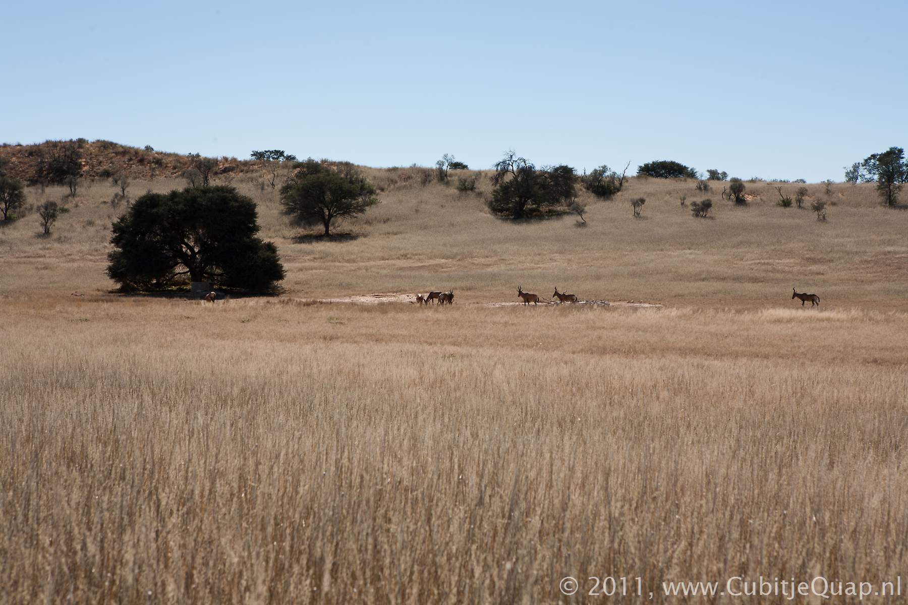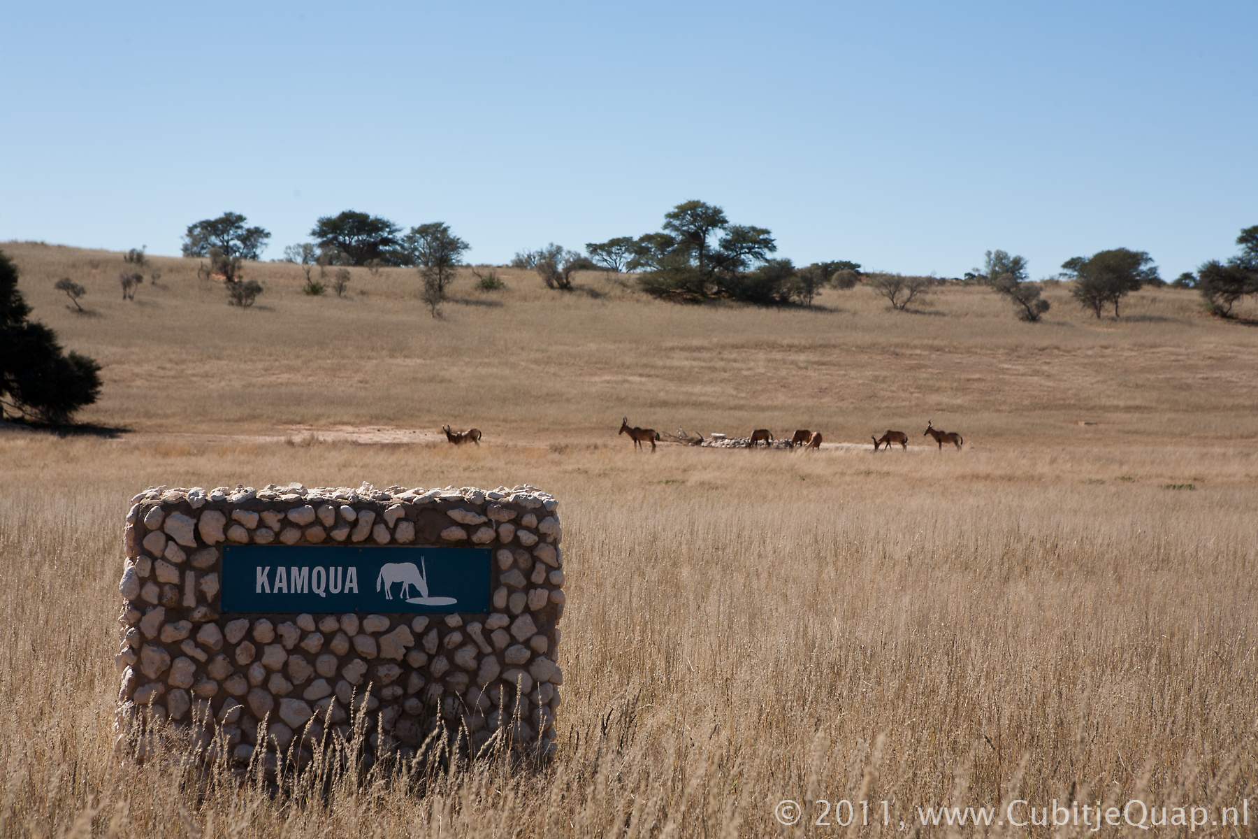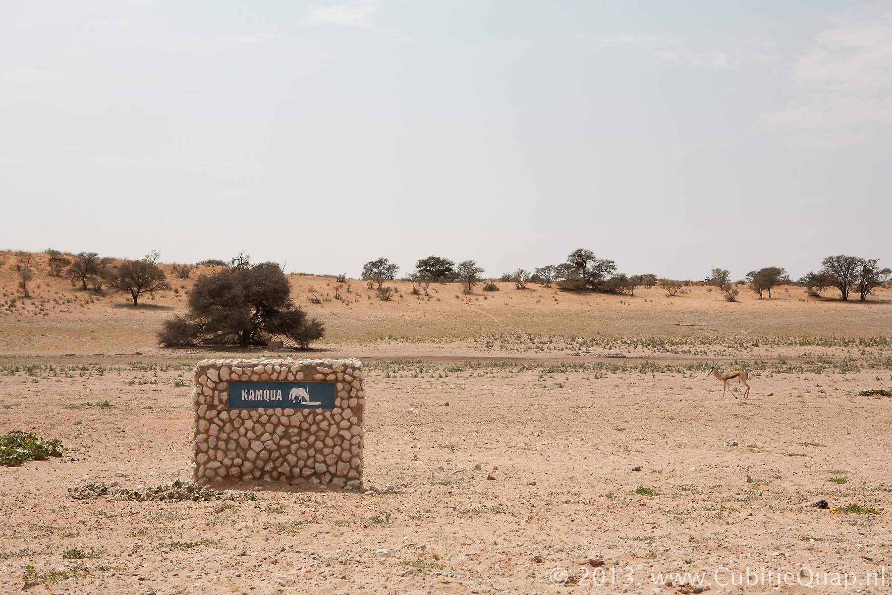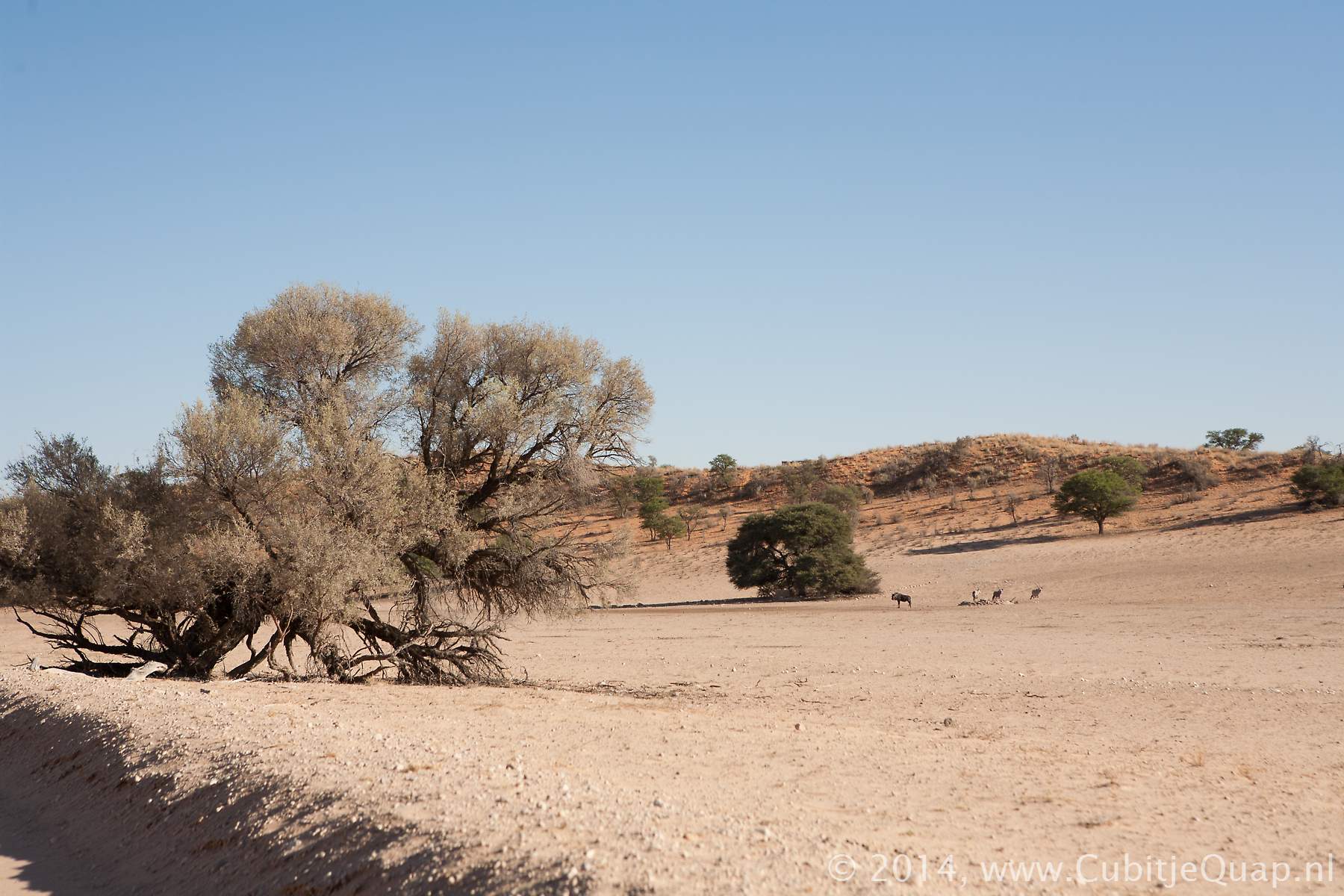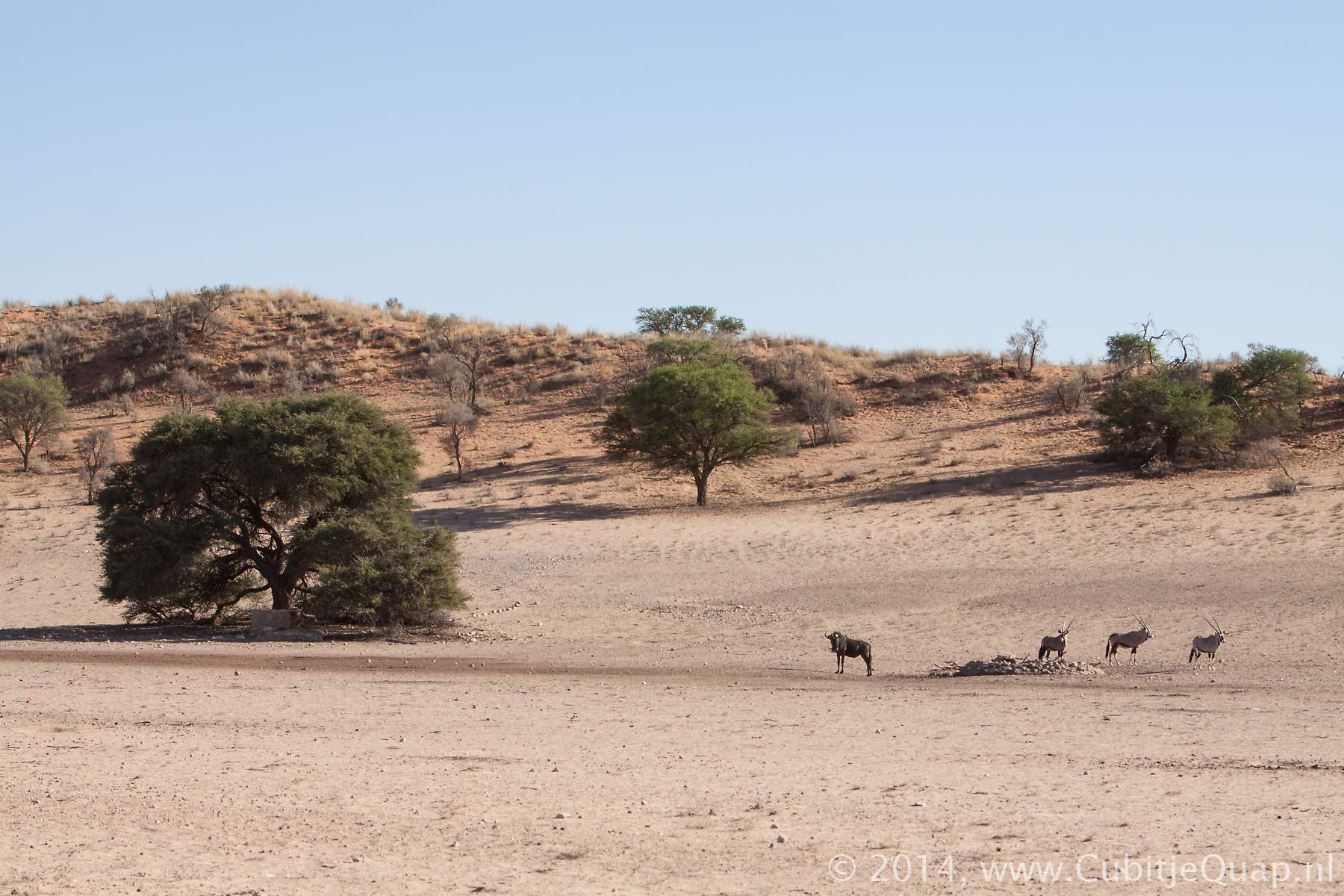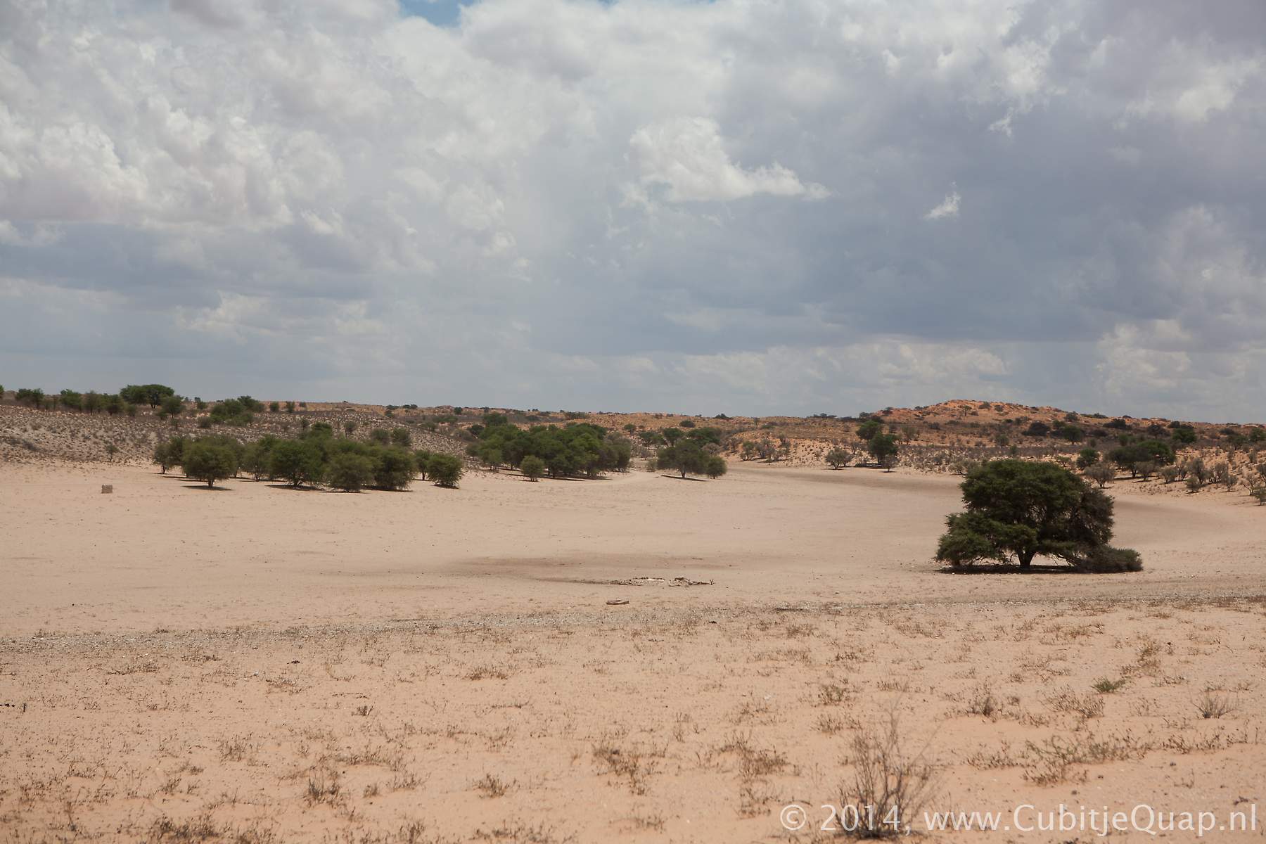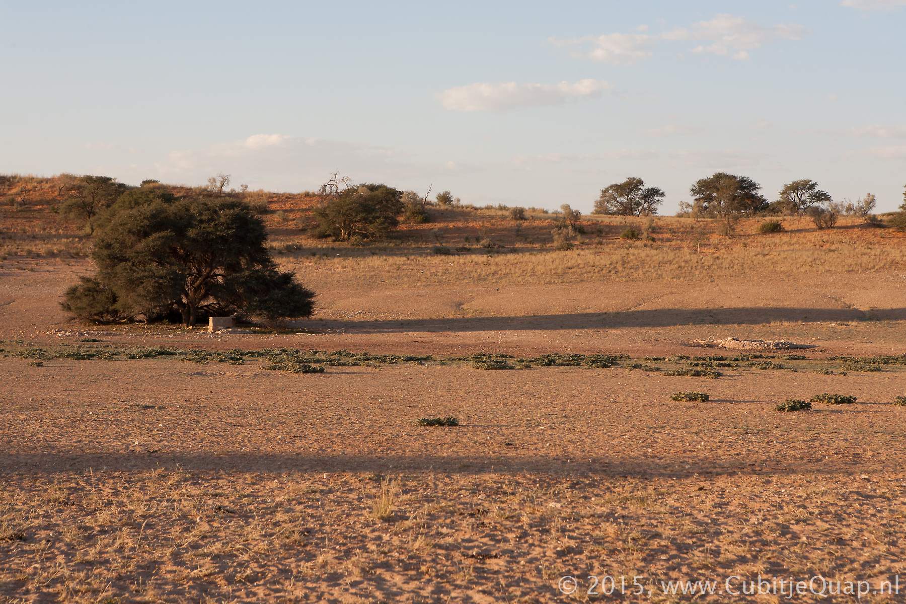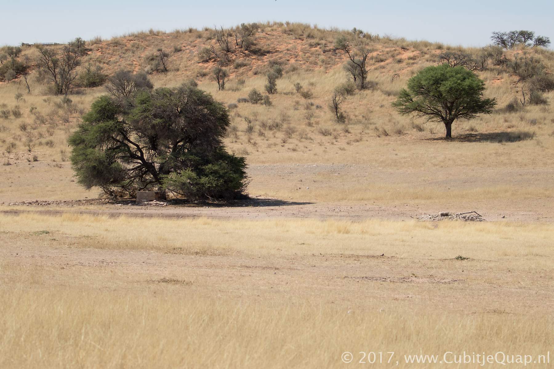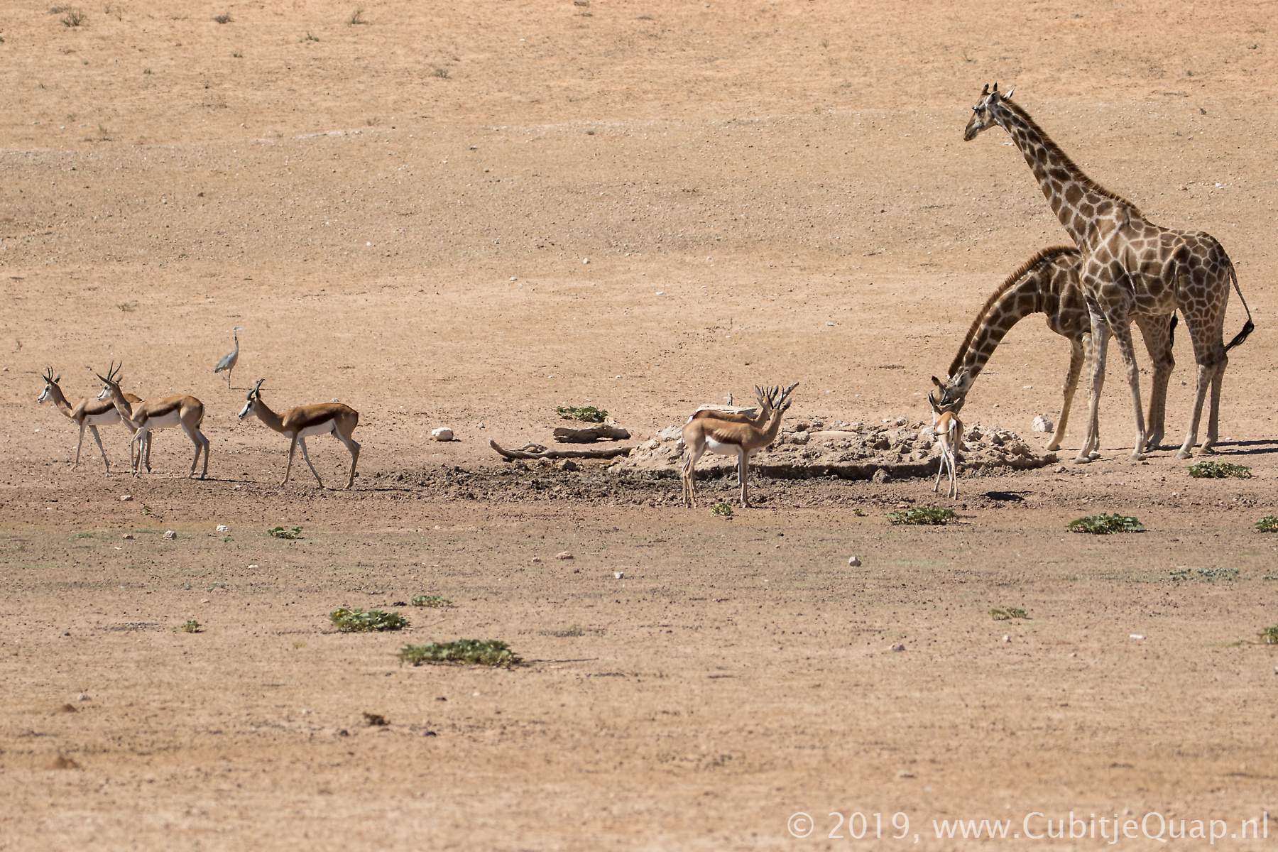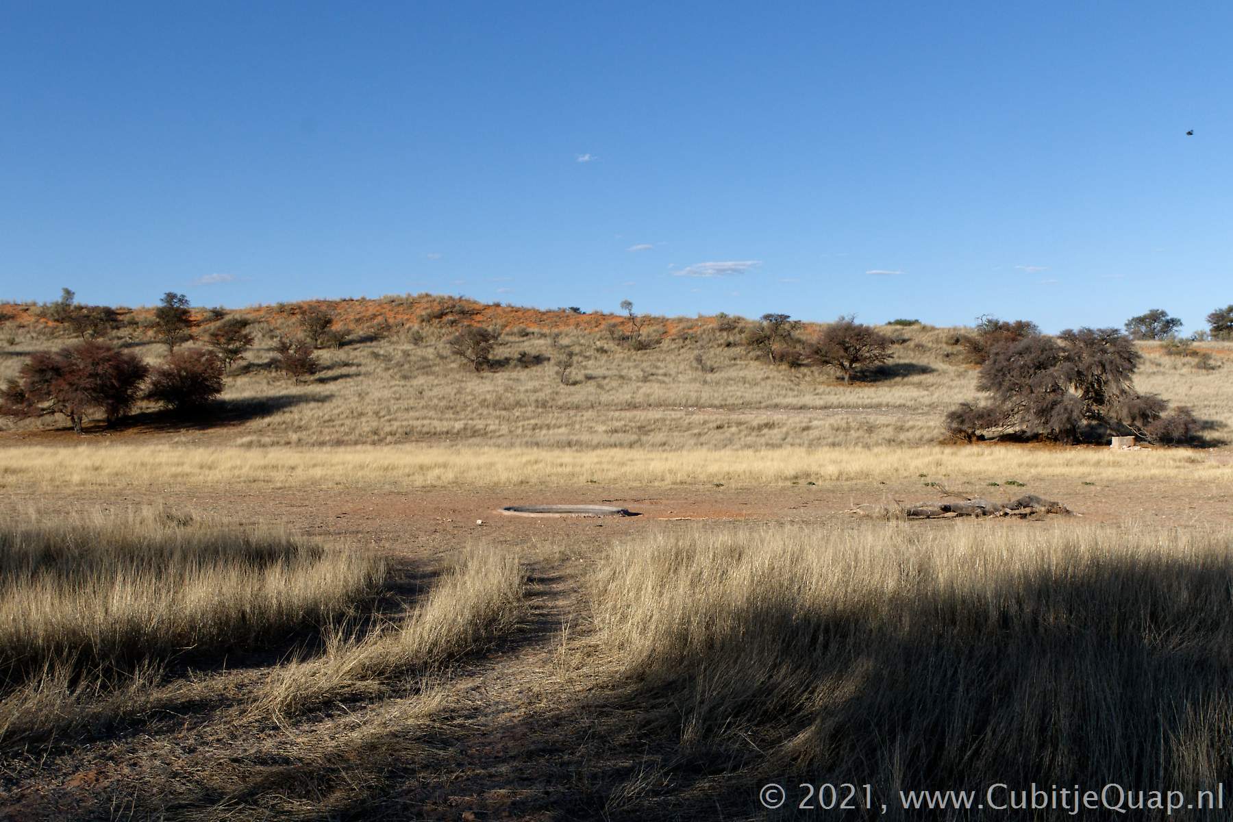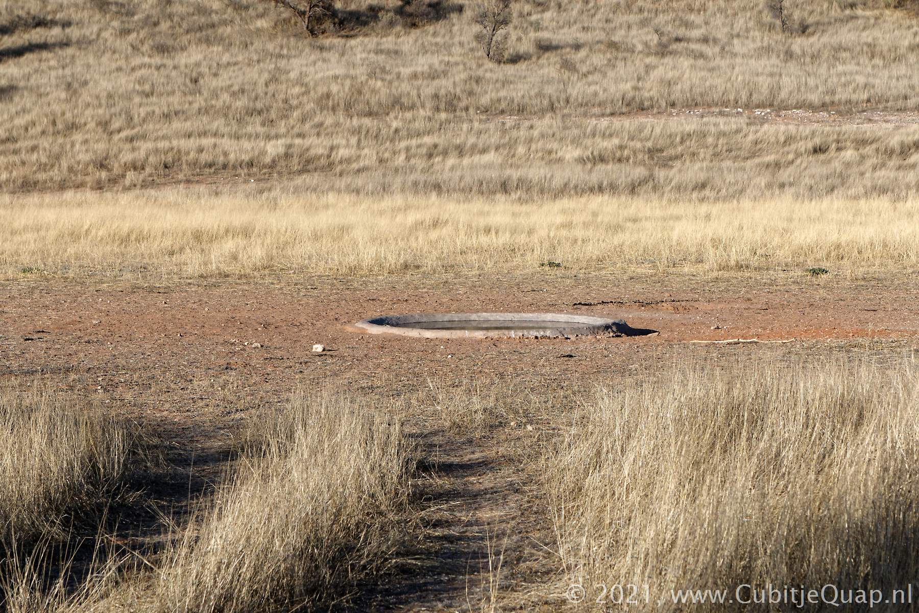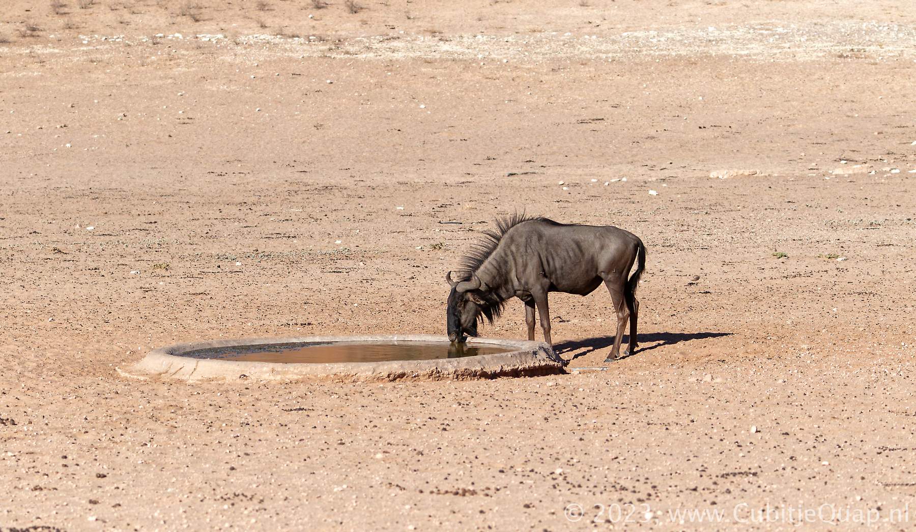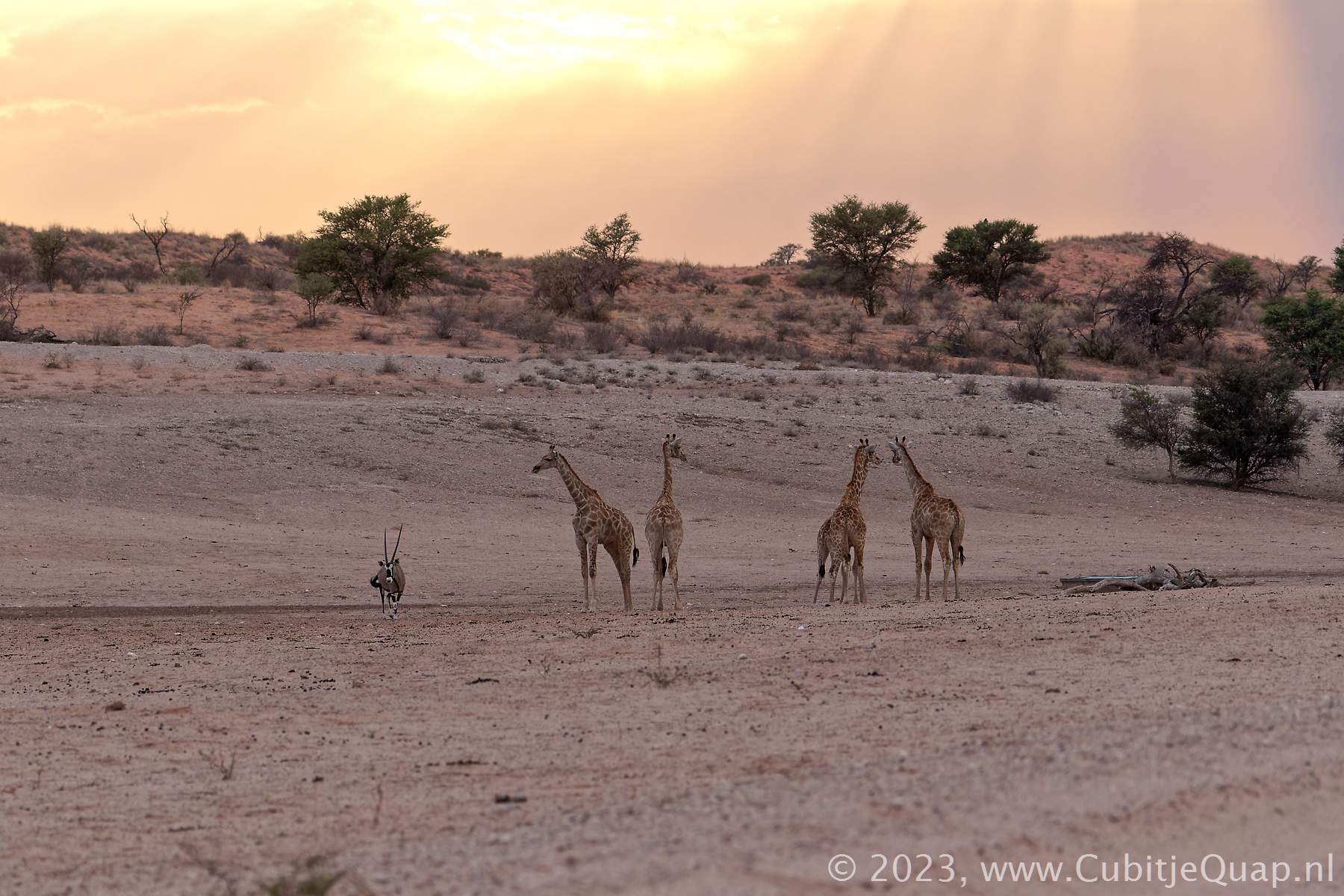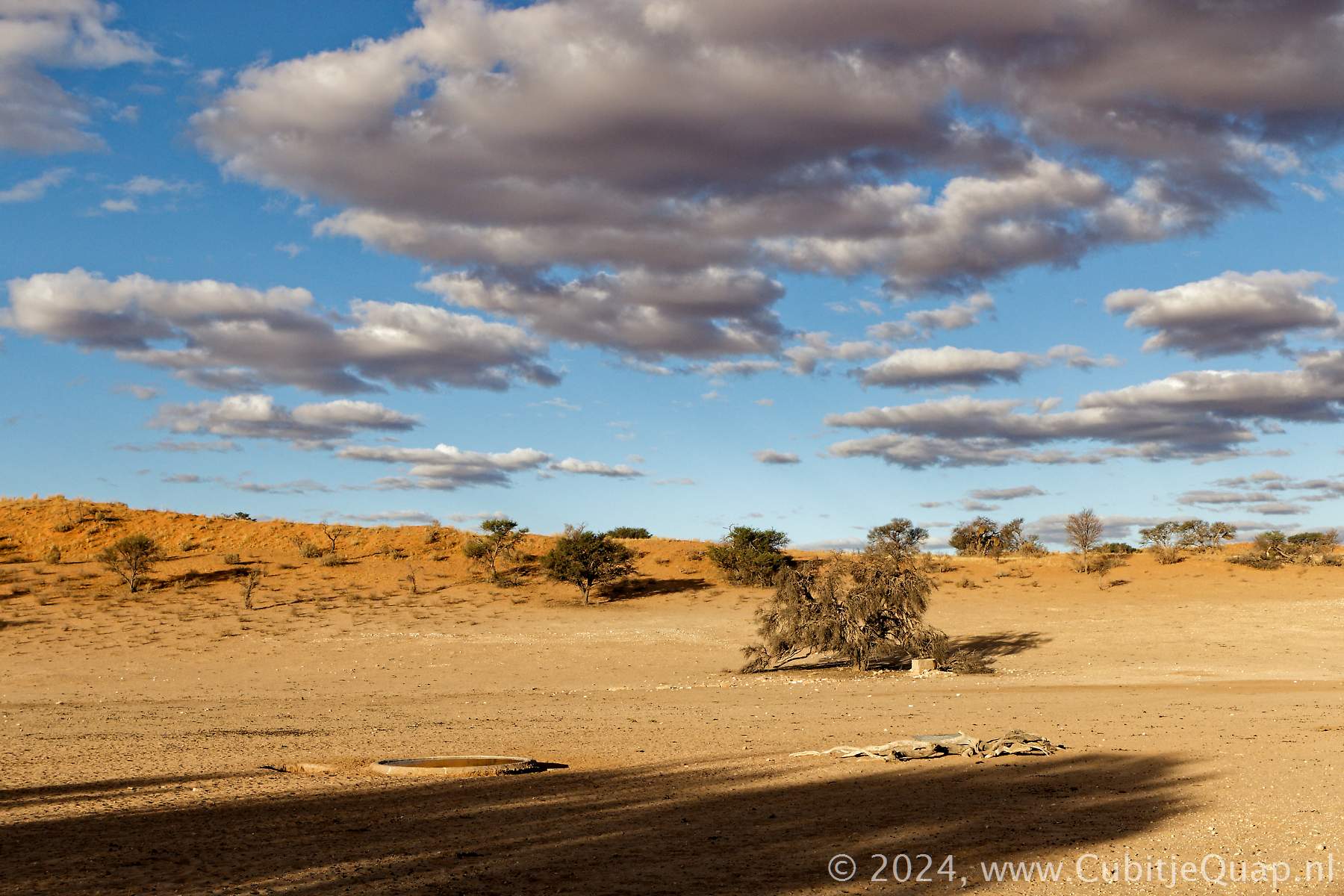
Kamqua waterhole
Explanation of name: Kamqua ("khoekhoen") stands for "Green Well"Photography: The waterhole is situated just north of the junction with the upper dune road. It's in the open field, about 100 meters to the northeast side of the road, in the Auob riverbed. The water flows into the riverbed in the direction of the road. Best for photography in afternoon. Just south of Kamqua is a picnic-spot where you're allowed to leave the car.
GPS Coordinates: S26 00 42.0 E20 23 56.2 (Google Maps)