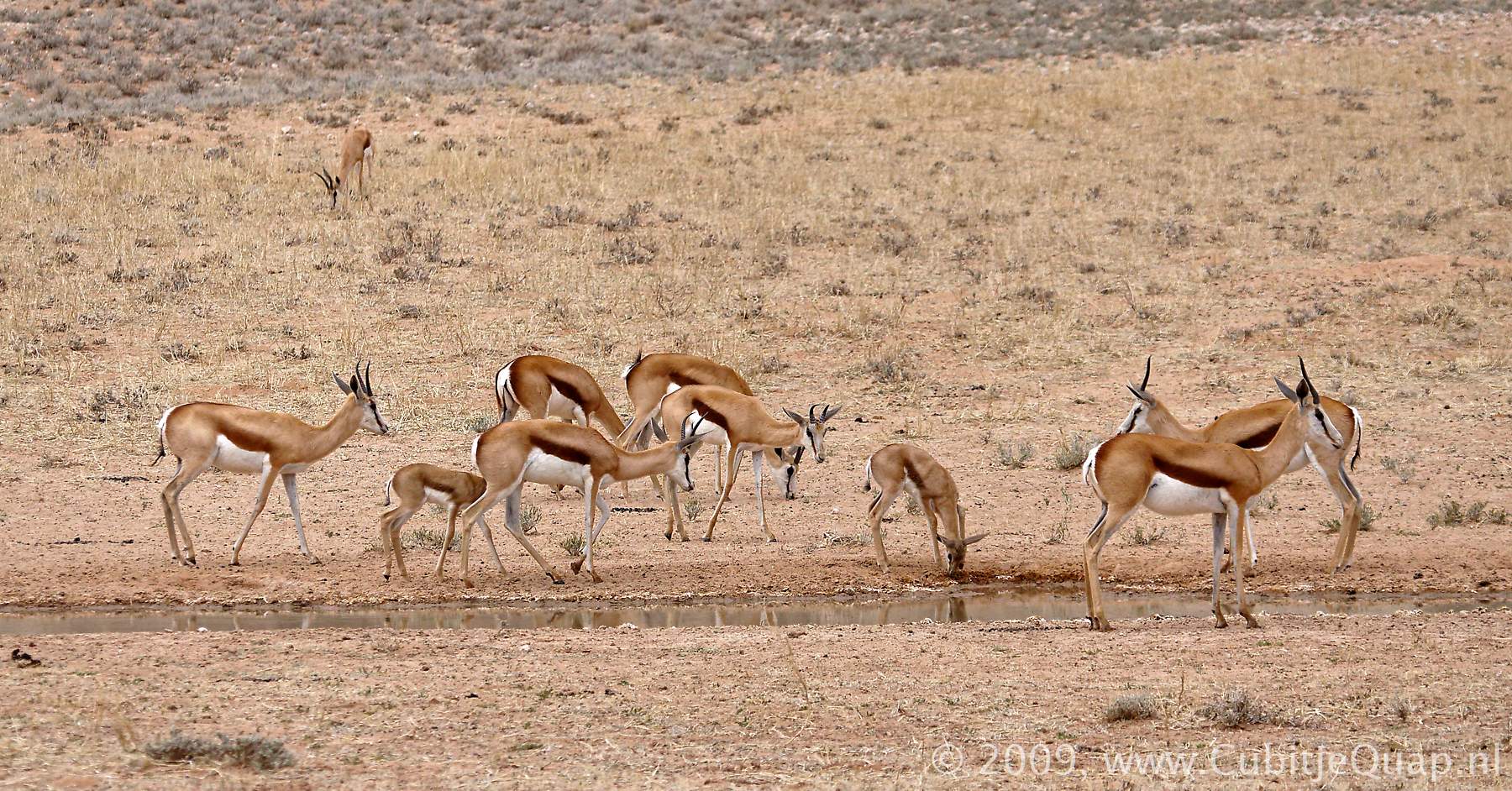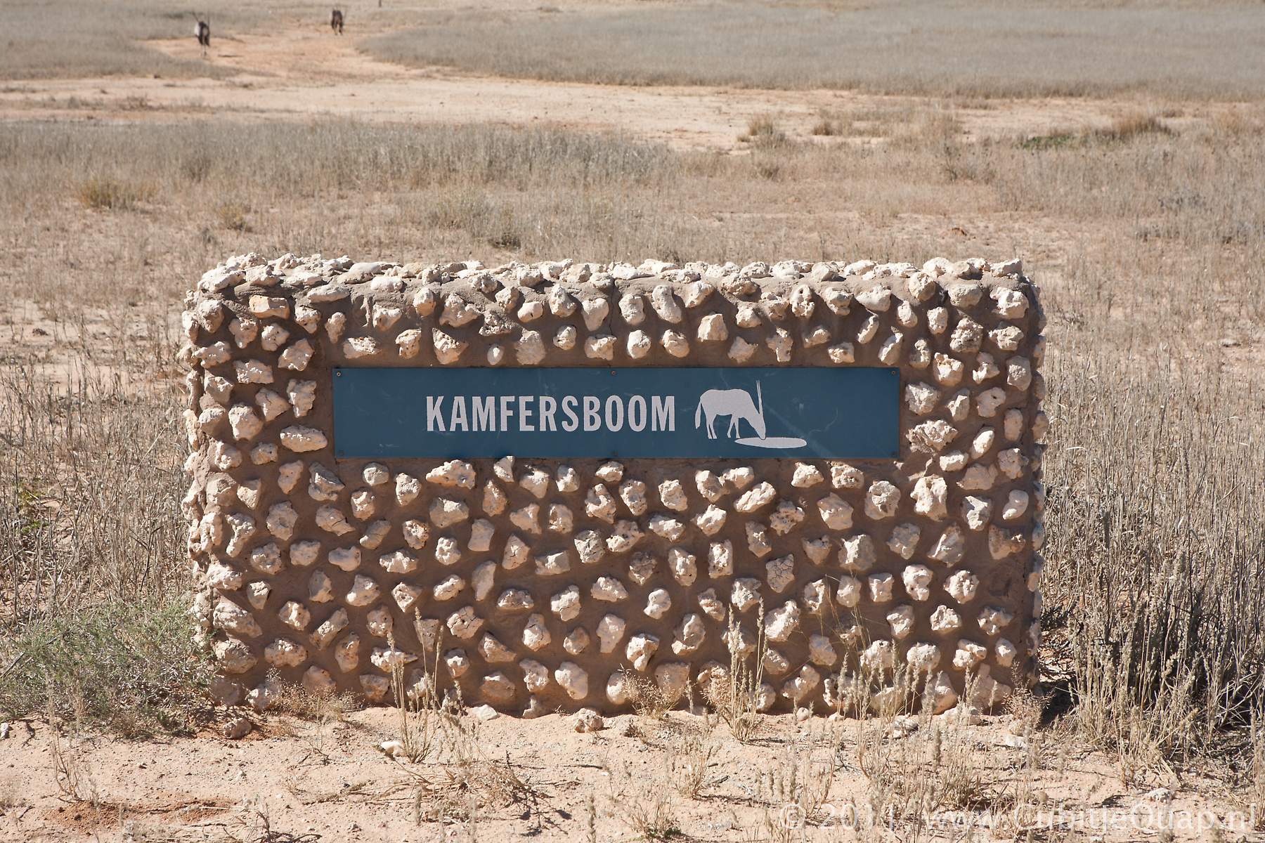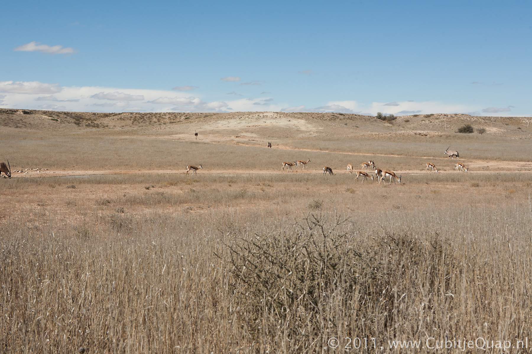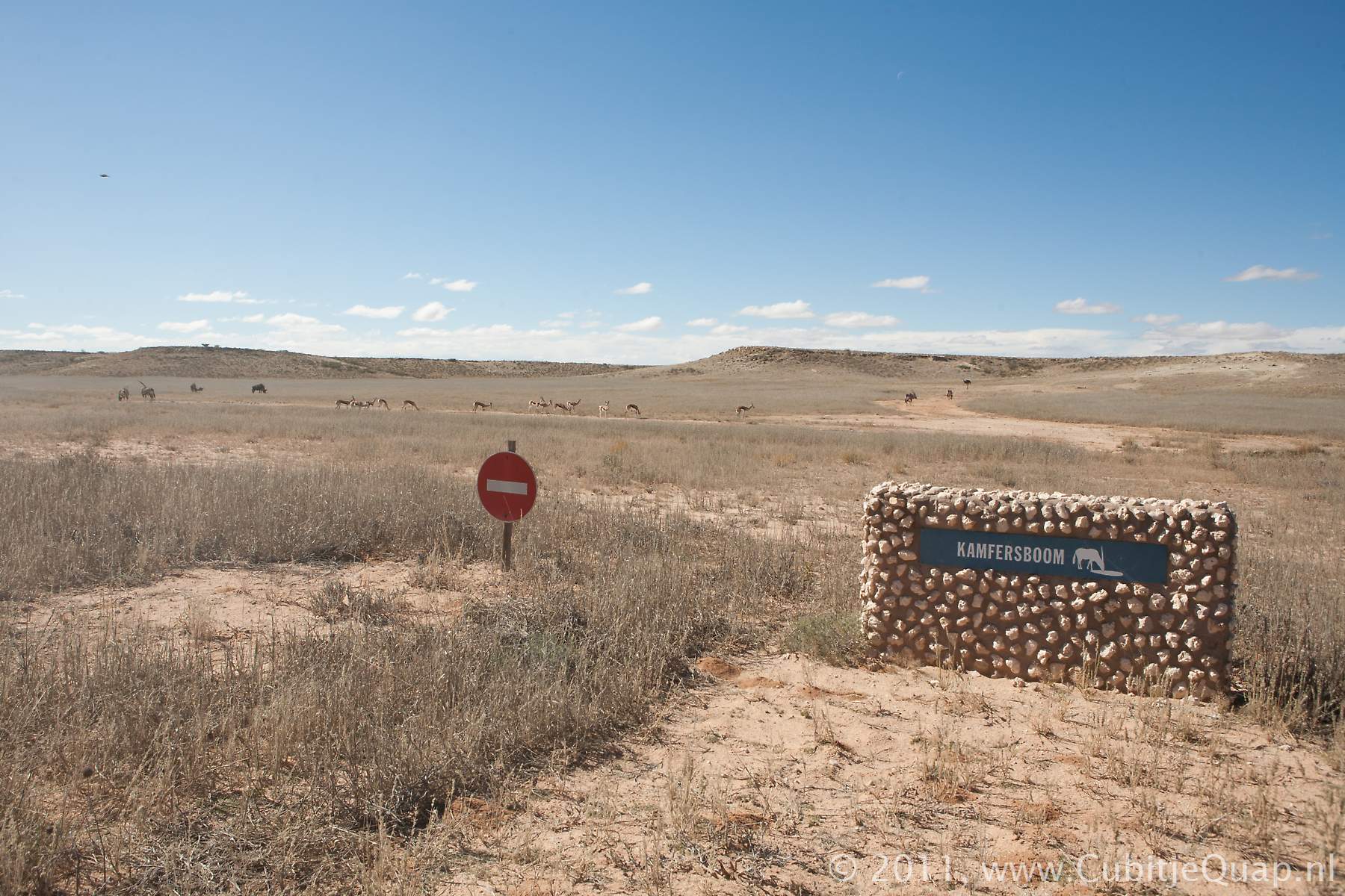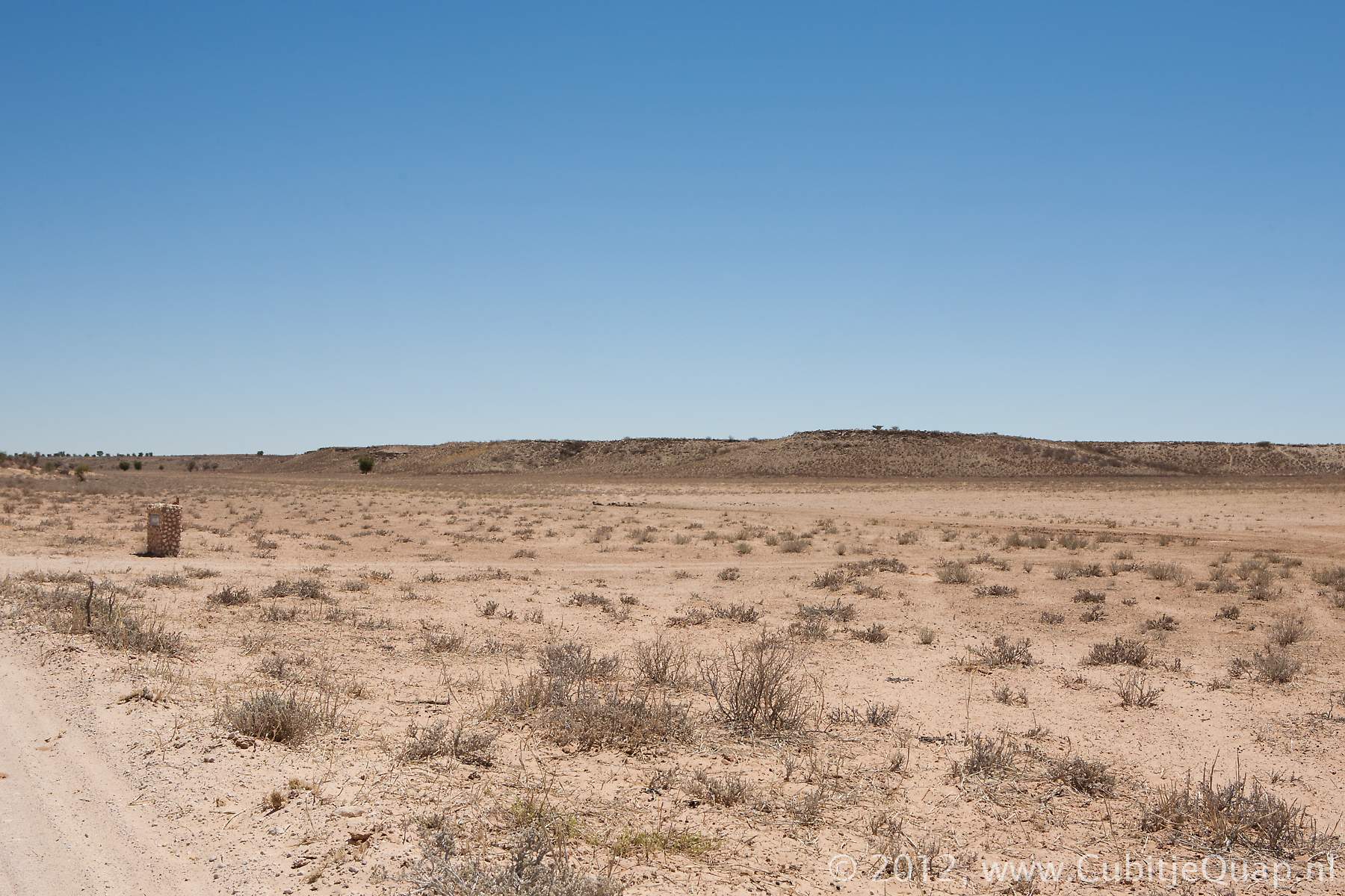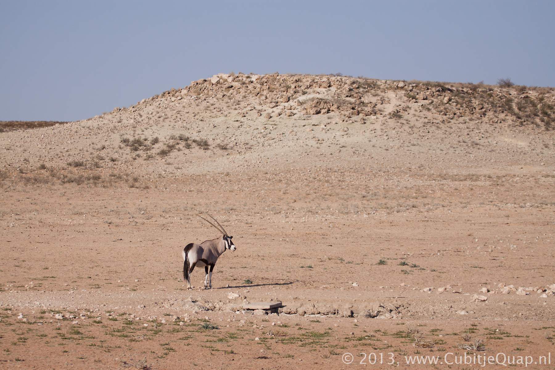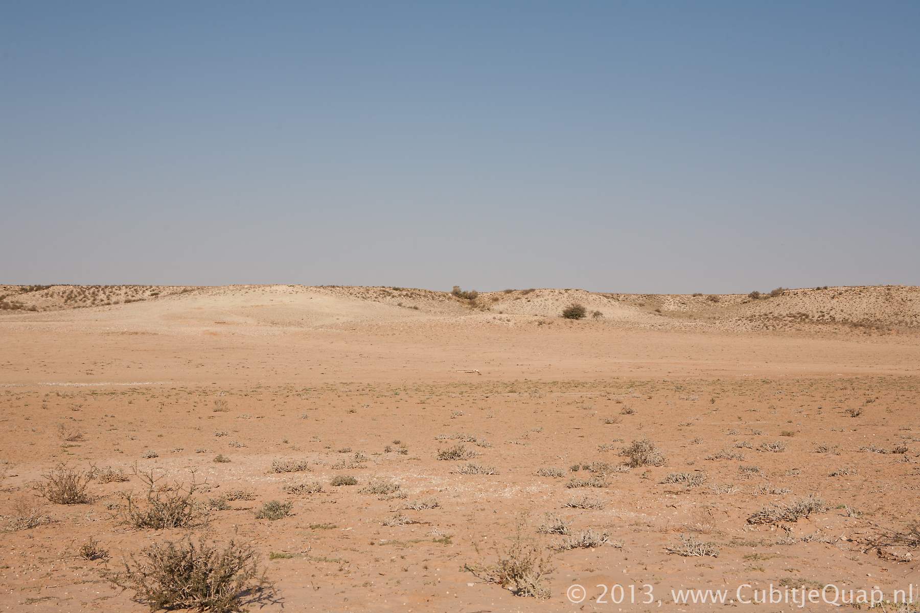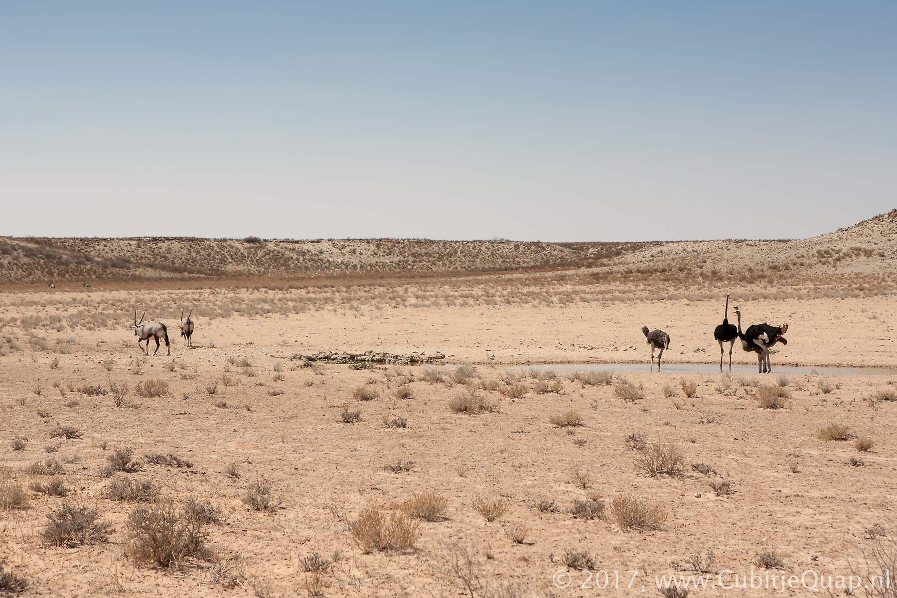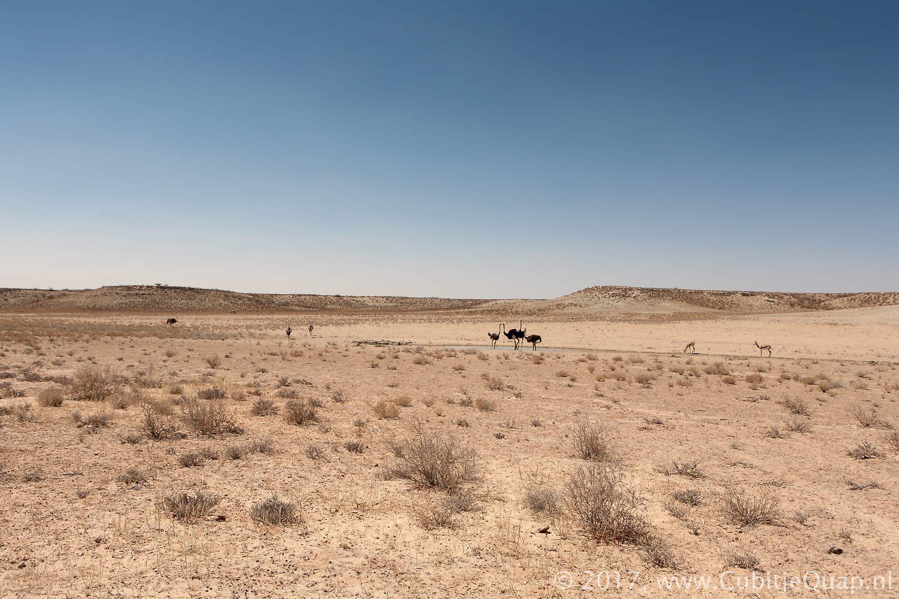
Kamfersboom waterhole
Explanation of name: Borehole maintained by a farmer named "Kamfer". Or: Home of borehole watchman "Kamfer".Photography: The waterhole is about 50 meters to the east side of the road, in the Auob riverbed. Best for photography in afternoon.
GPS Coordinates: S26 13 32.7 E20 33 42.8 (Google Maps)