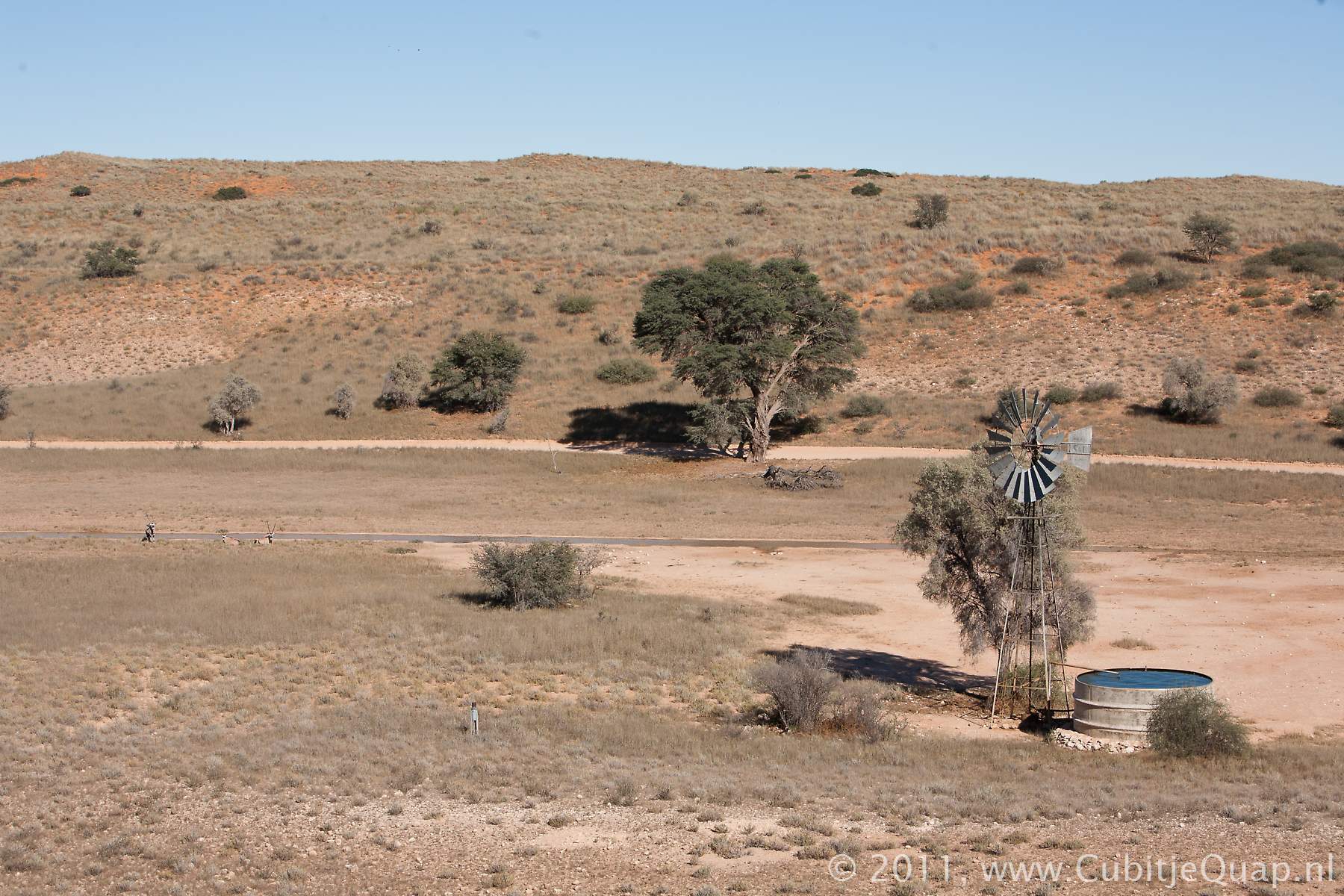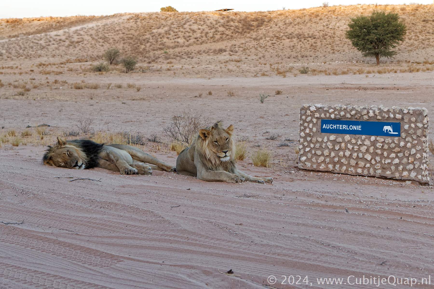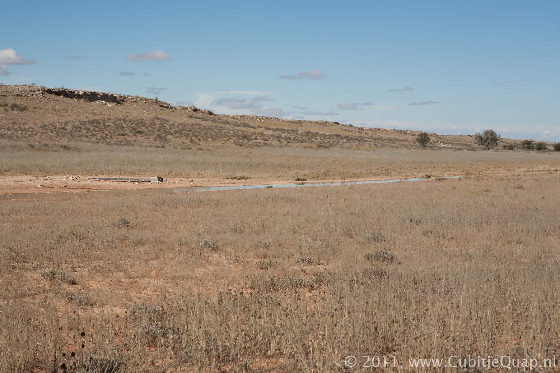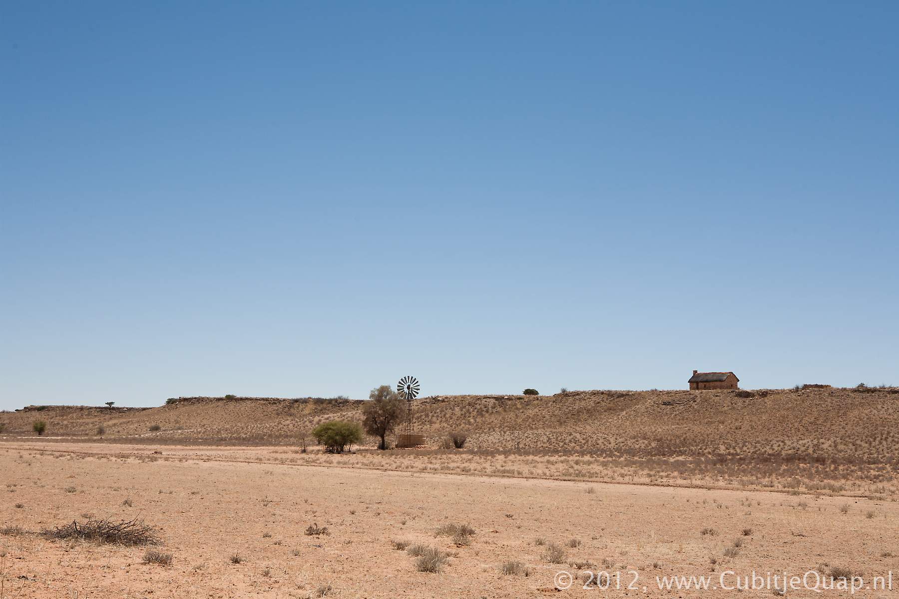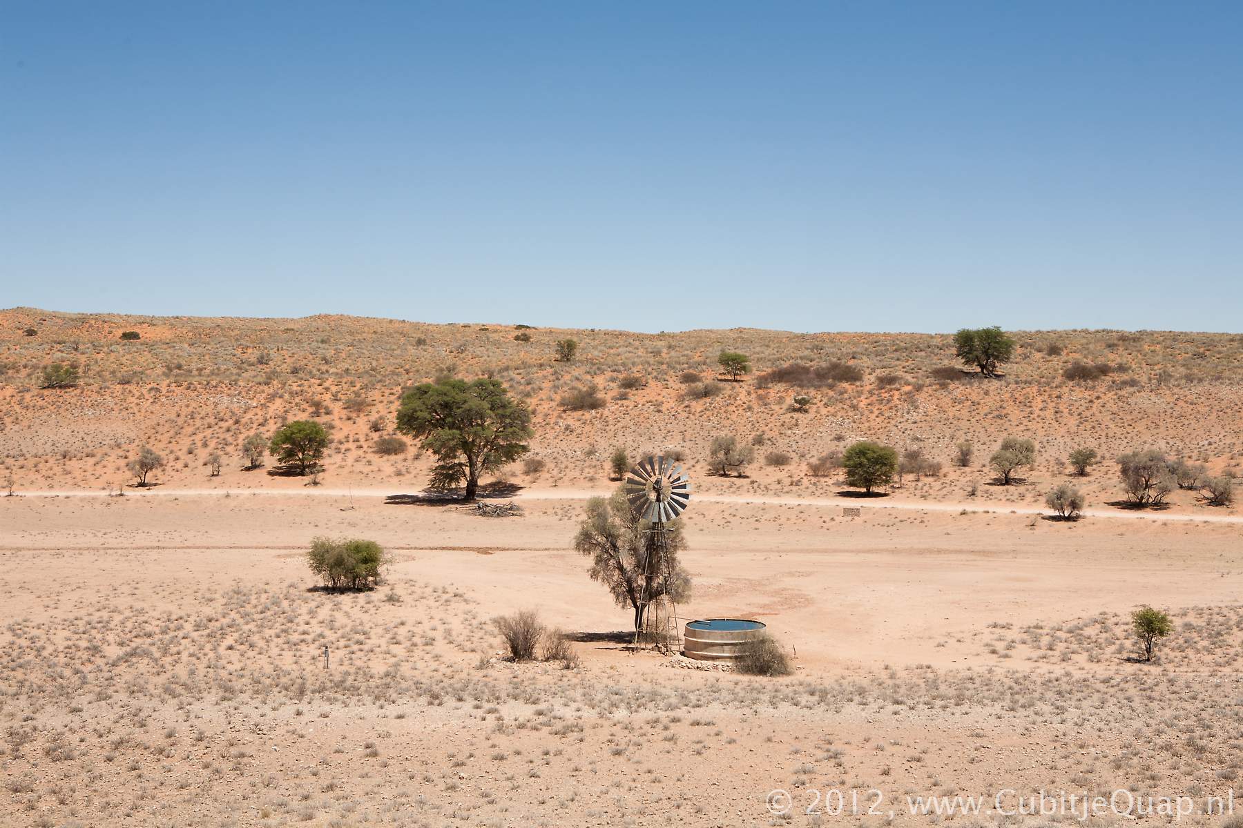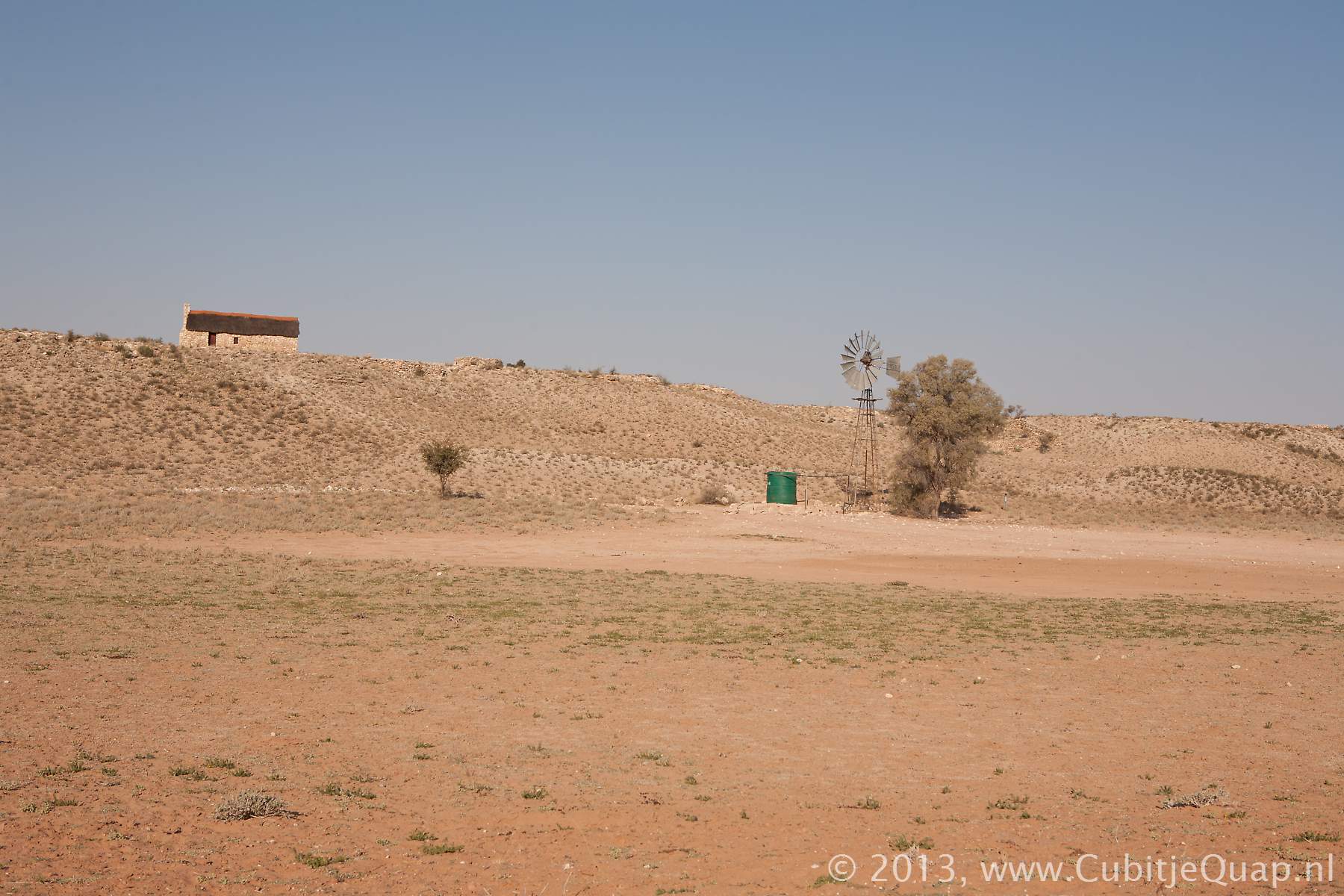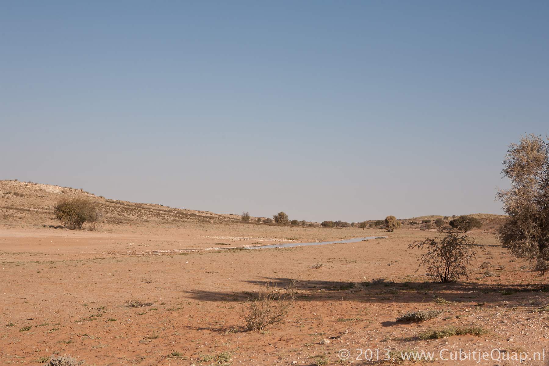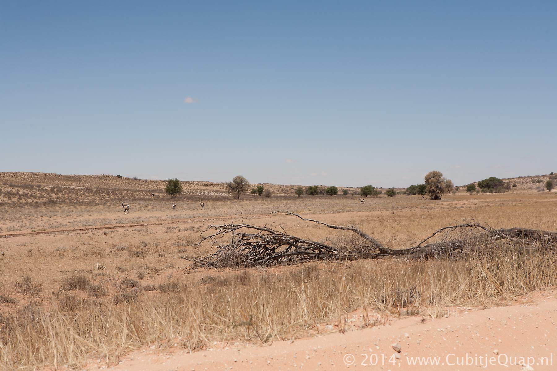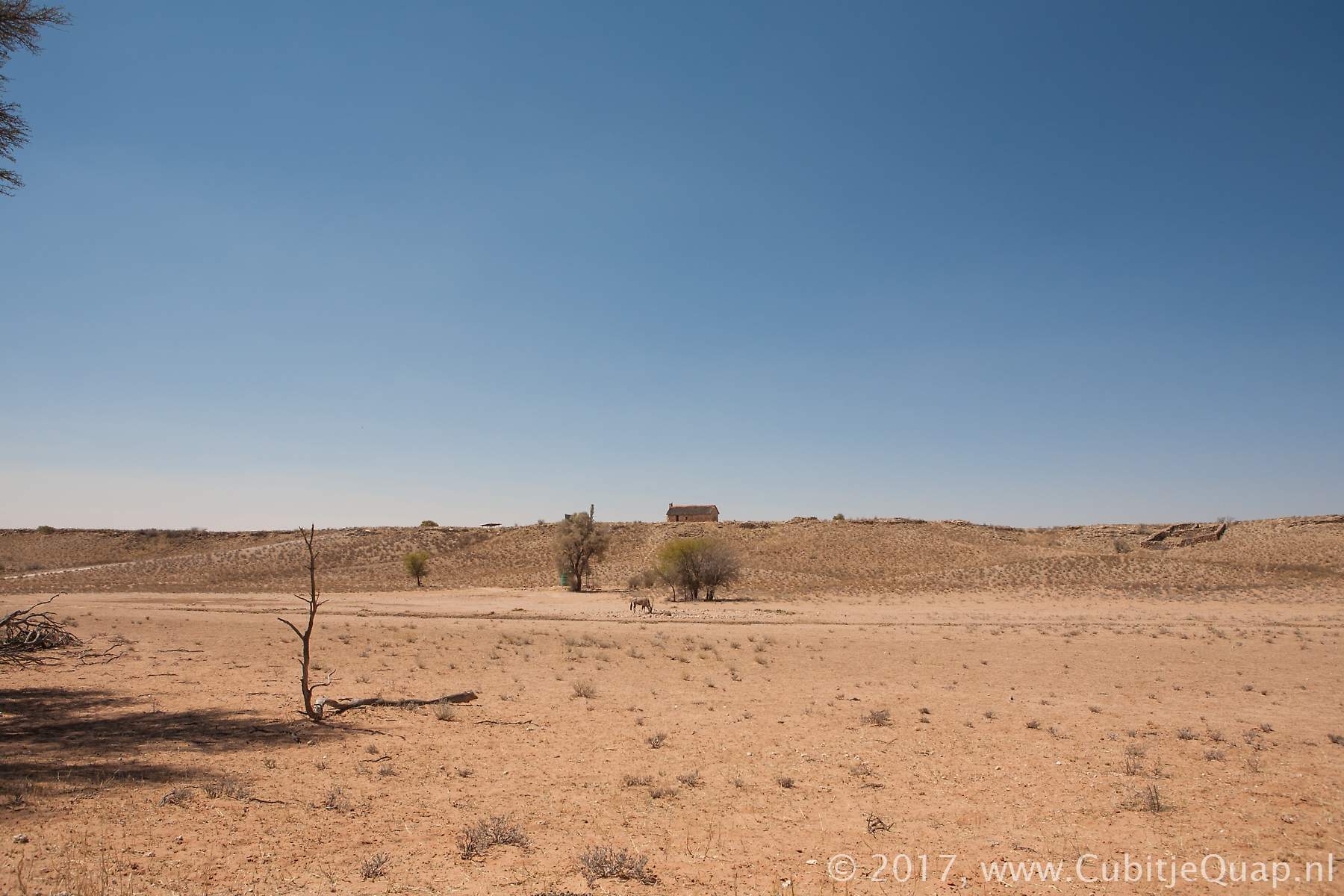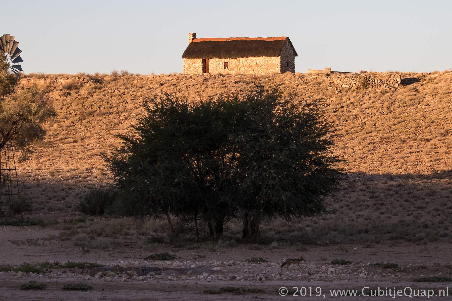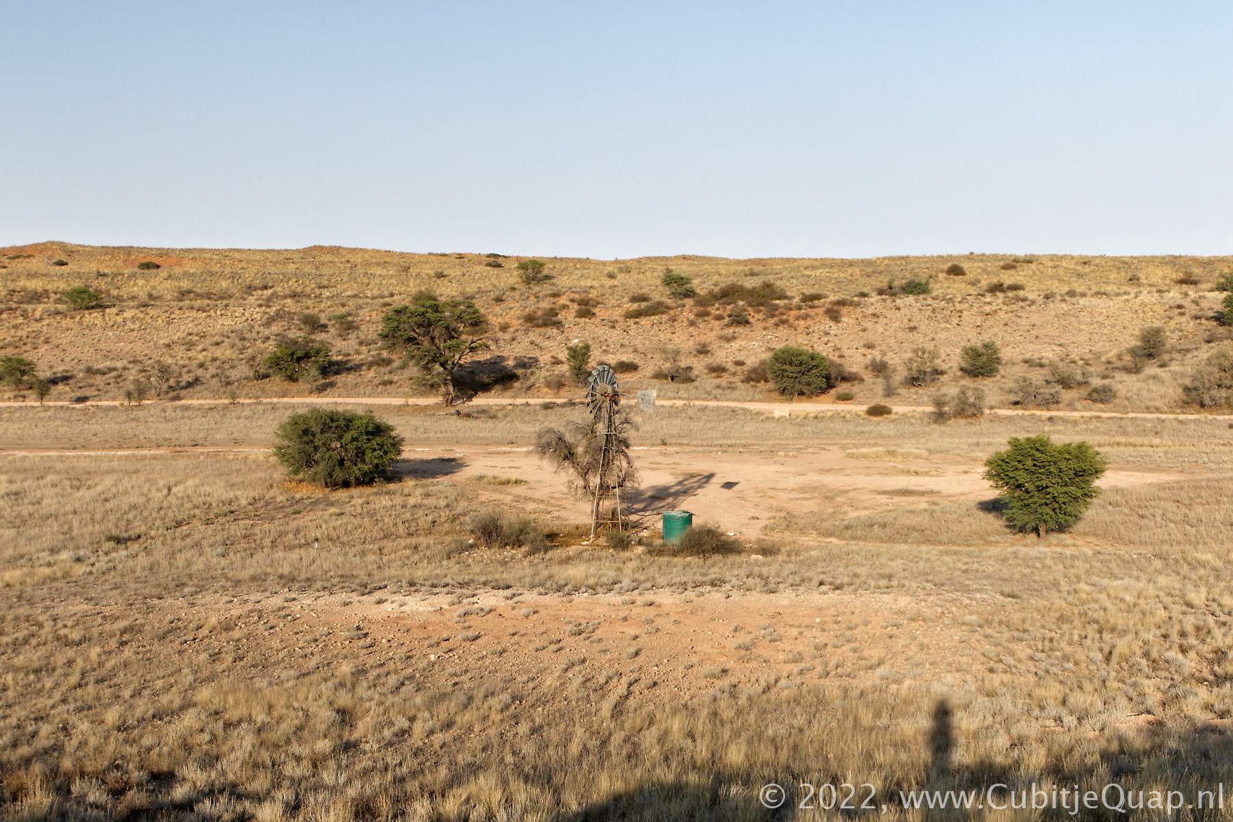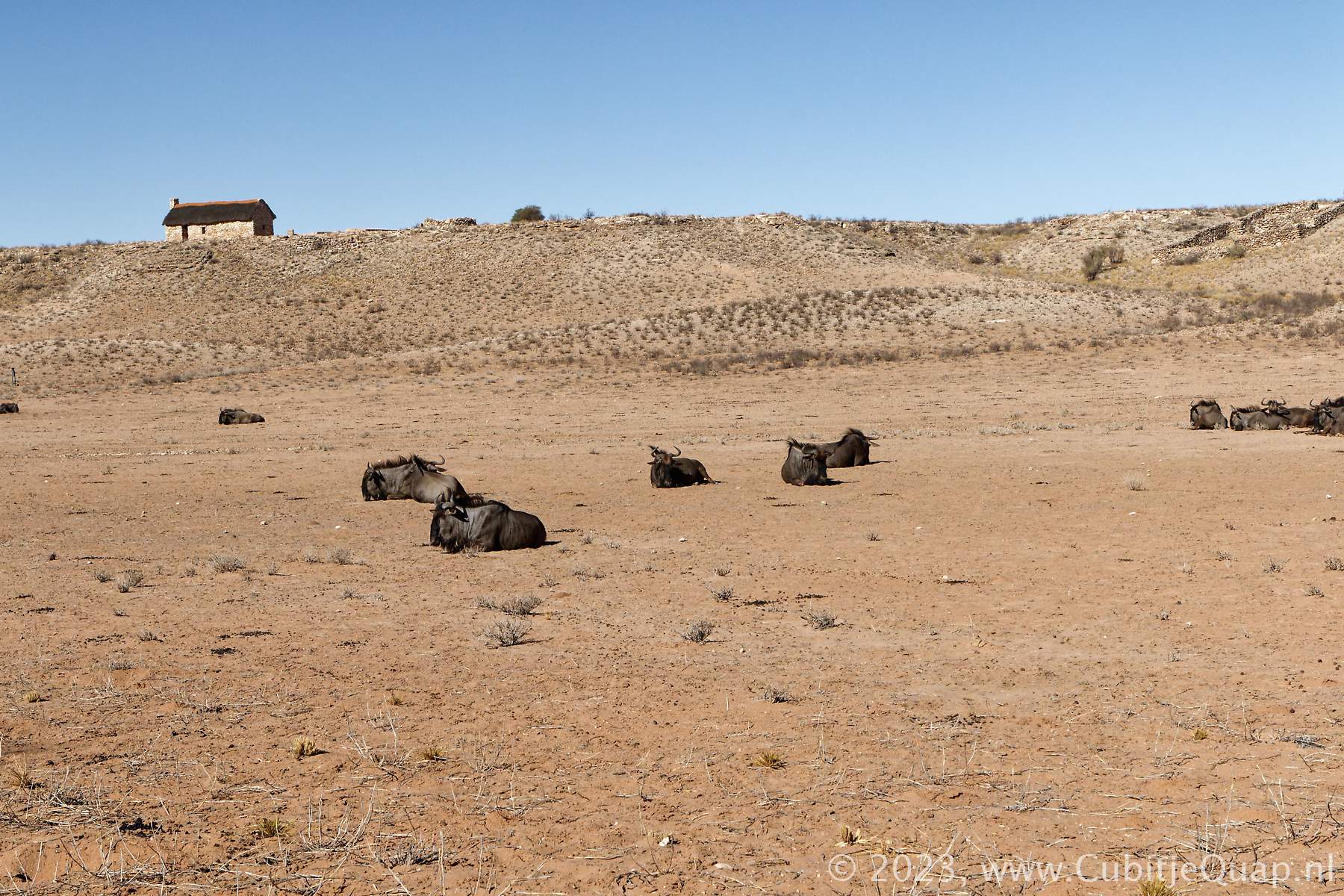
Auchterlonie waterhole
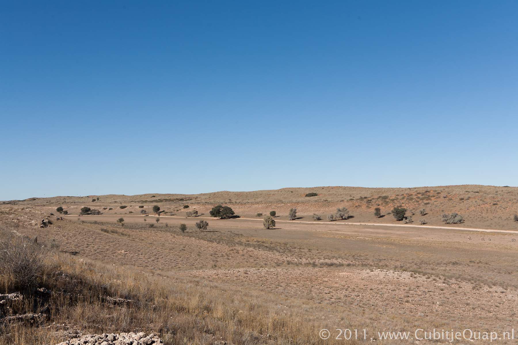
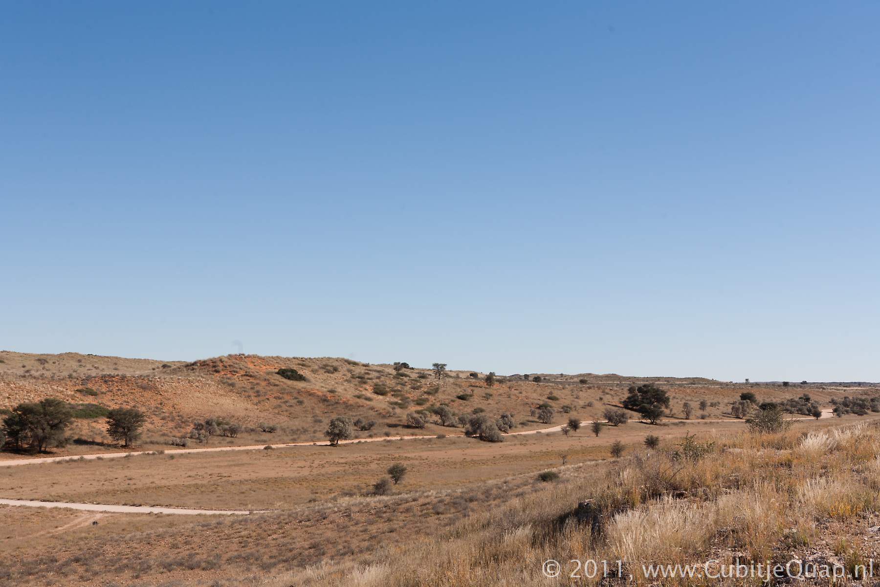
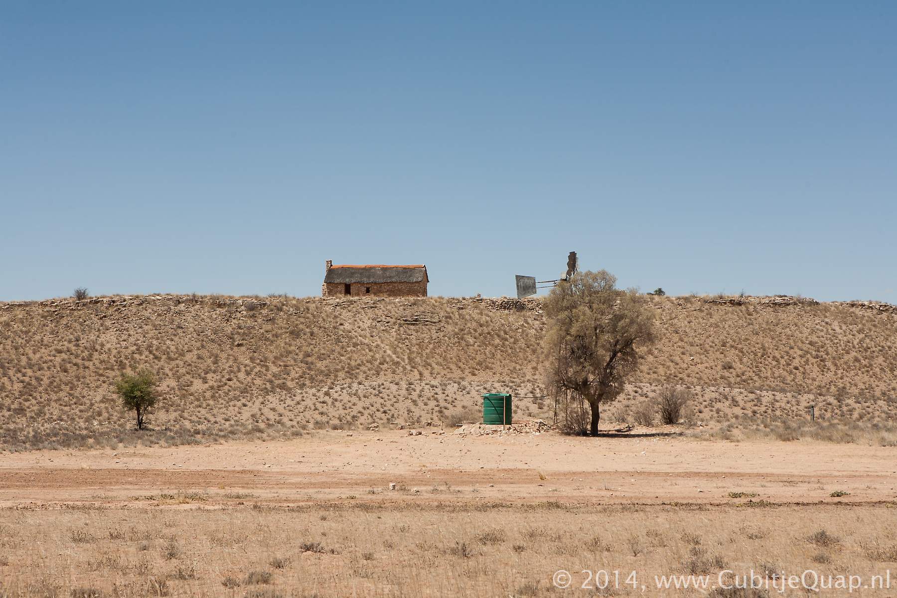
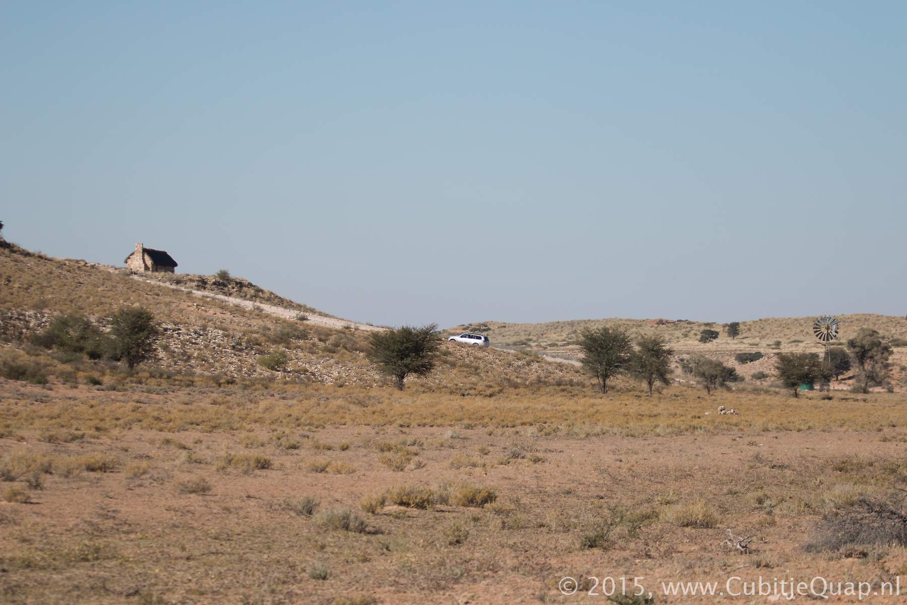
Explanation of name: Auchterlonie is a Scottish name; "Auchter" means "highland" ("uchdar" means summit, top; "loinn" means area)Photography: The waterhole is about 75 meters to the east side of the road, in the Auob riverbed. Best for photography in afternoon. Next to the waterhole, a track crosses the Auob riverbed and leads to the eastern side. Above the riverbed you have a great view of the Auob-riverbed and Auchterlonie waterhole. A small, old warden house has turned into a museum.
GPS Coordinates: S26 11 06.0 E20 32 43.0 (Google Maps)