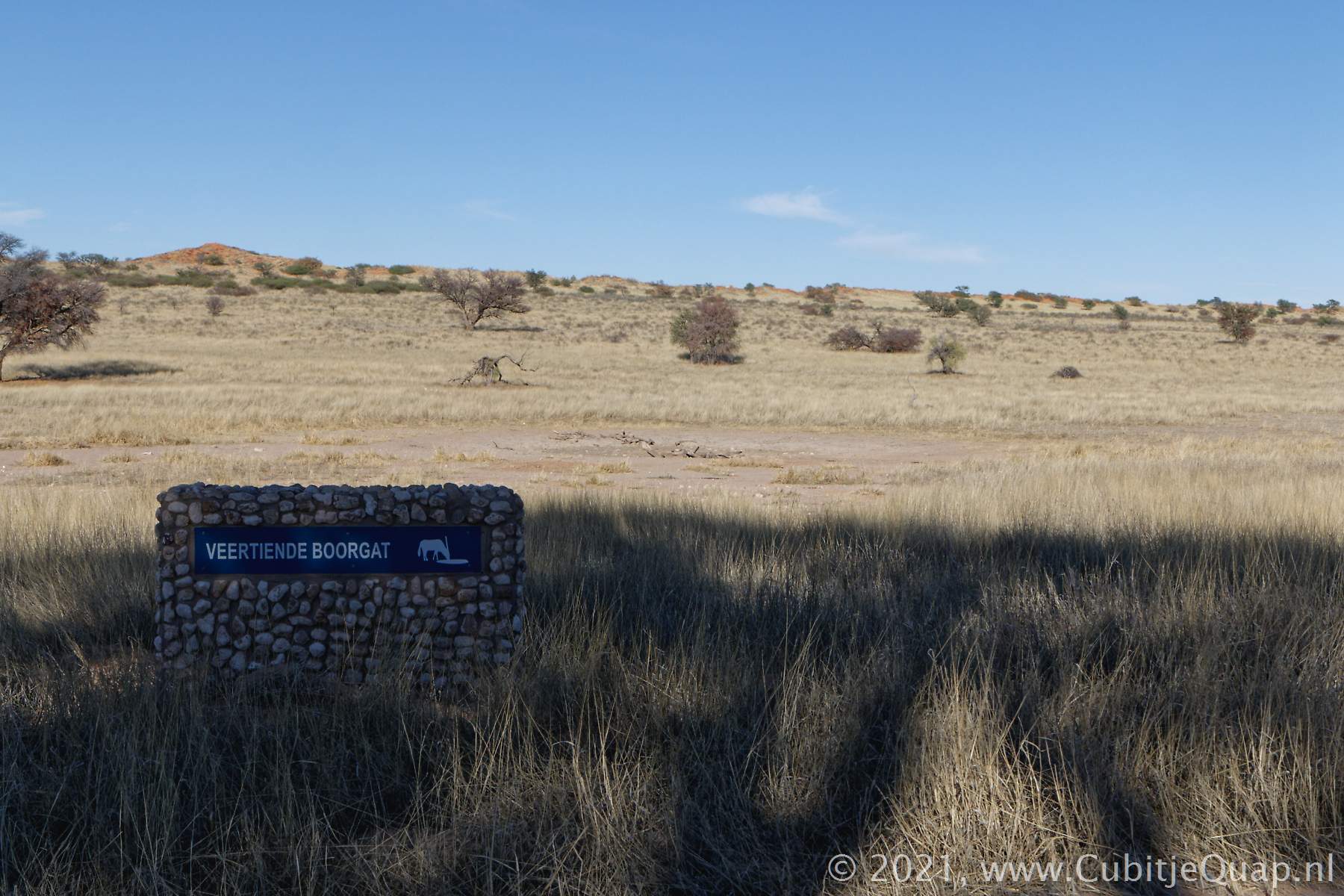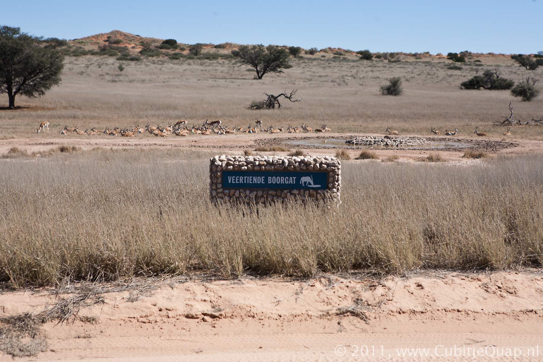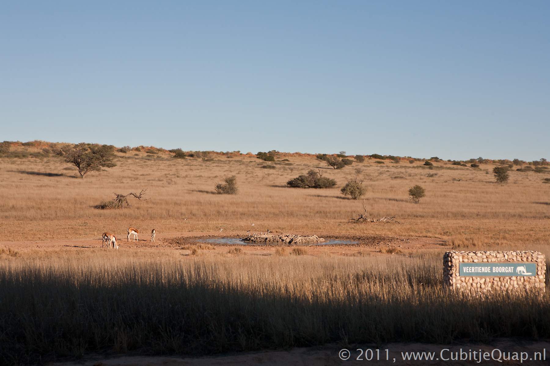
Veertiende boorgat waterhole
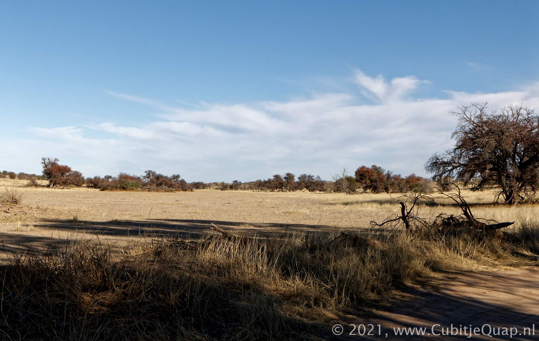
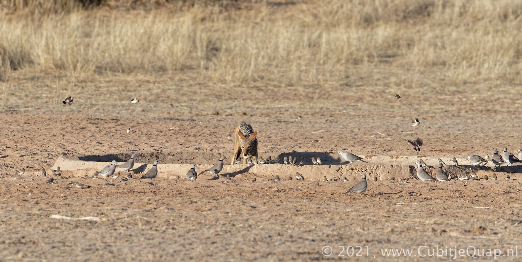
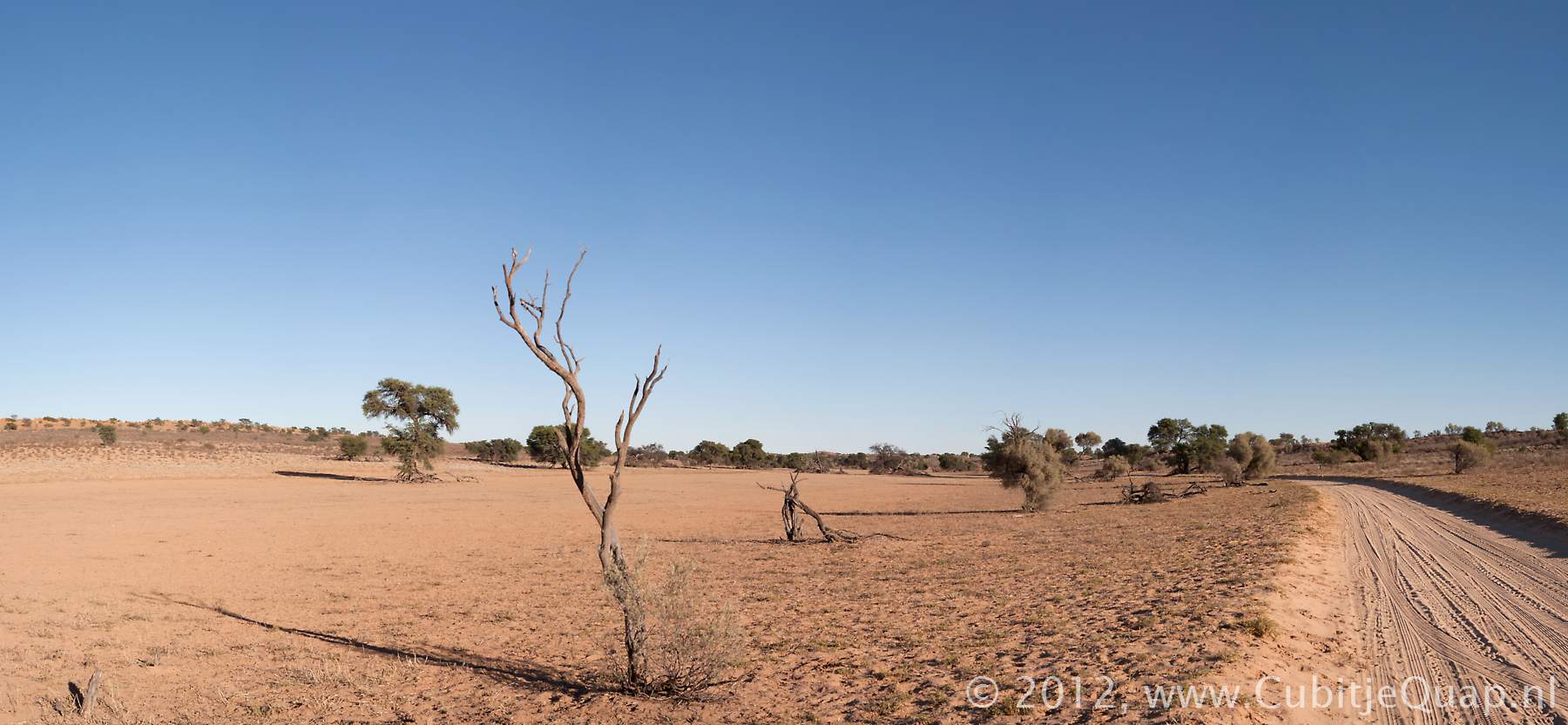
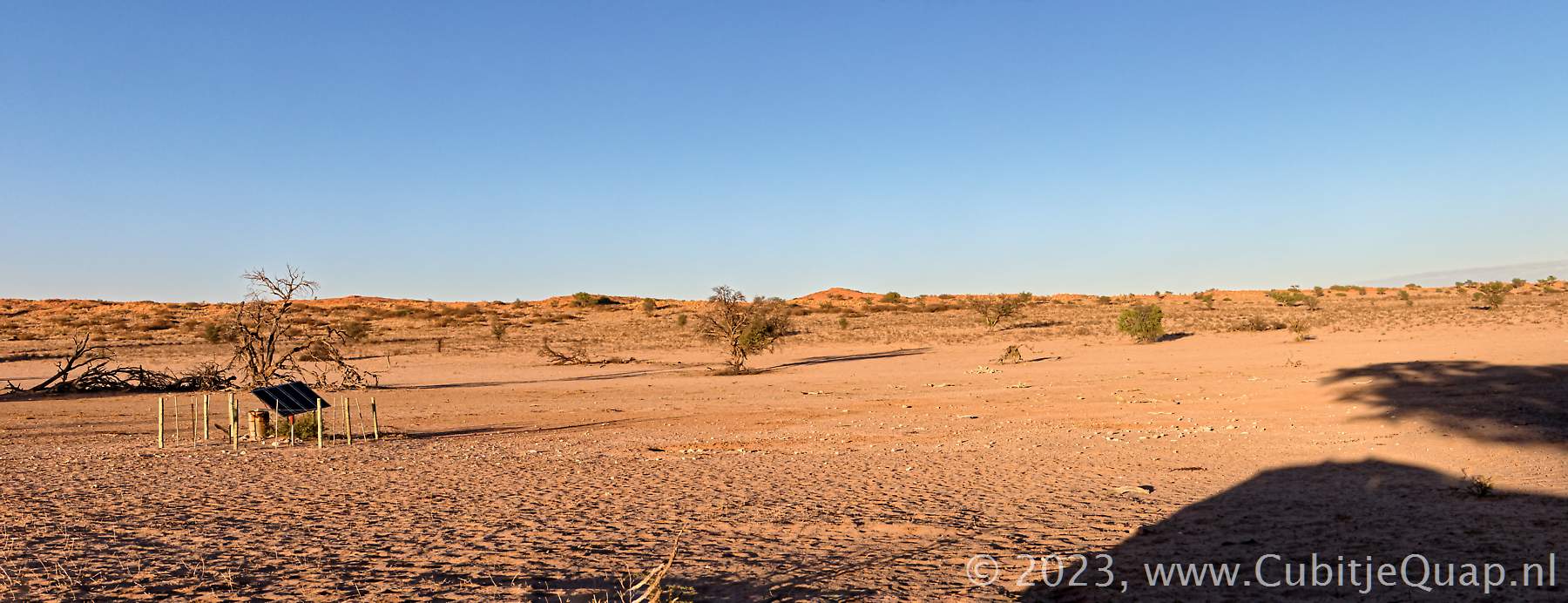
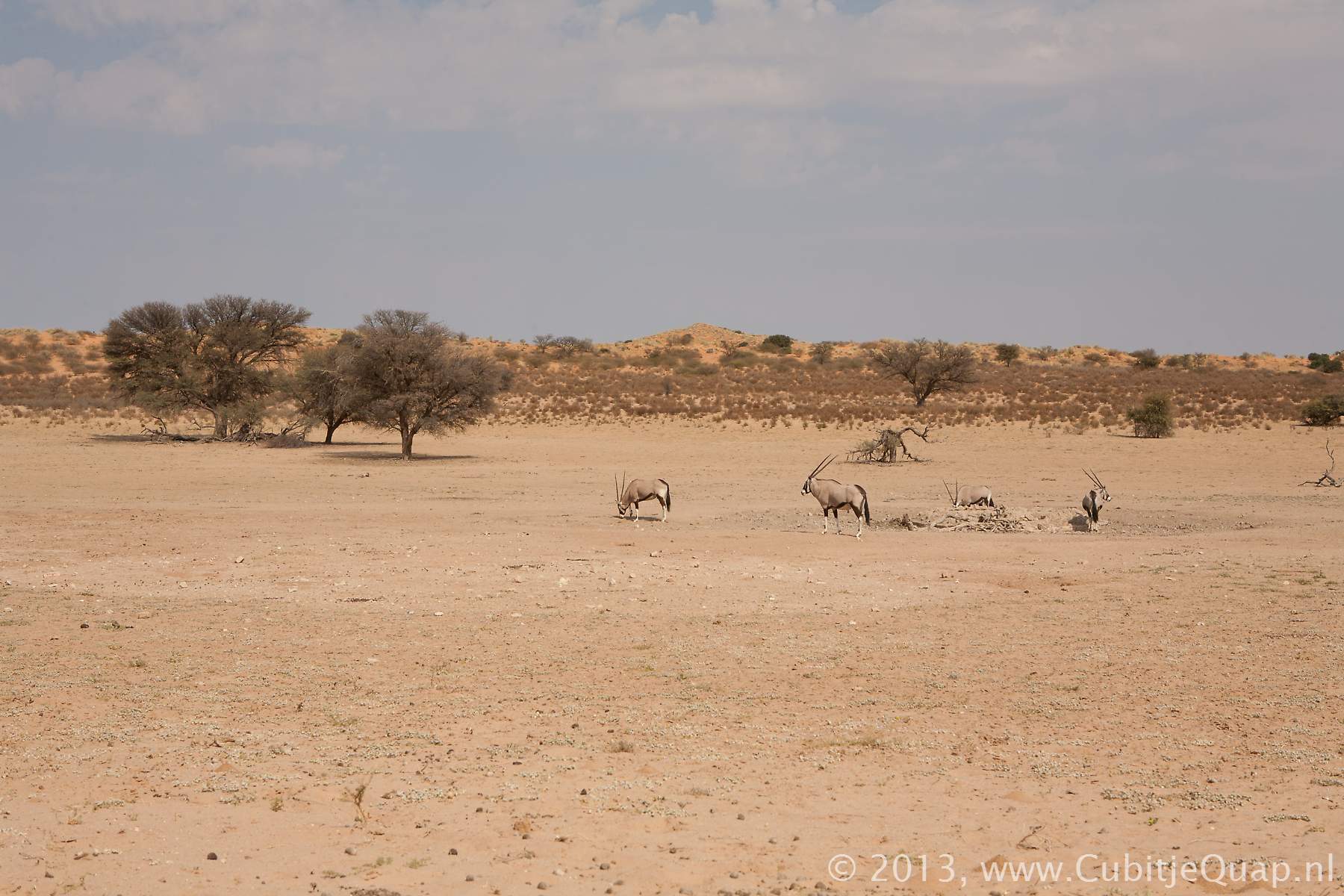
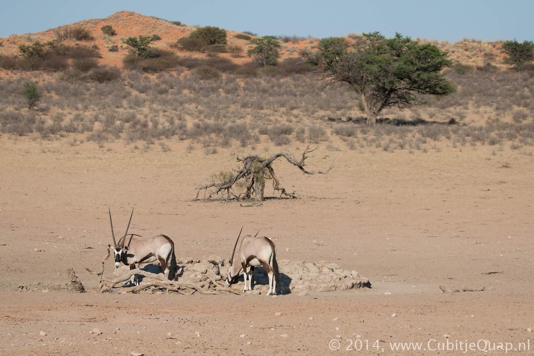
Explanation of name: (english: fourteenth borehole). It's the fourteenth borehole created for the Union troops in 1908. The original name of the borehole was "Kleinkrij", Afrikaans for "Small diarrhoea", but this translation didn't sound too attractive. The name Kleinskrij (and Grootskrij for thirteenth bore hole) was derived from the story of a traveller's cattle suffering diarrhoea after eating tsamma melons and drinking the water. The name served as a warning to those arriving later. Alternatively: Plenty of tsammas, cucumbers and sorrel gave the surveyor's oxen the 'shits'.The new Veertiende boorgat waterholePhotography : The waterhole is located at the western side of a loop road, offering great opportunities for photography especially in the morning. There are some trees on viewing area, offering both shade and birdlife.
GPS Coordinates: S25 56 35.9 E20 13 00.1 (Google Maps)
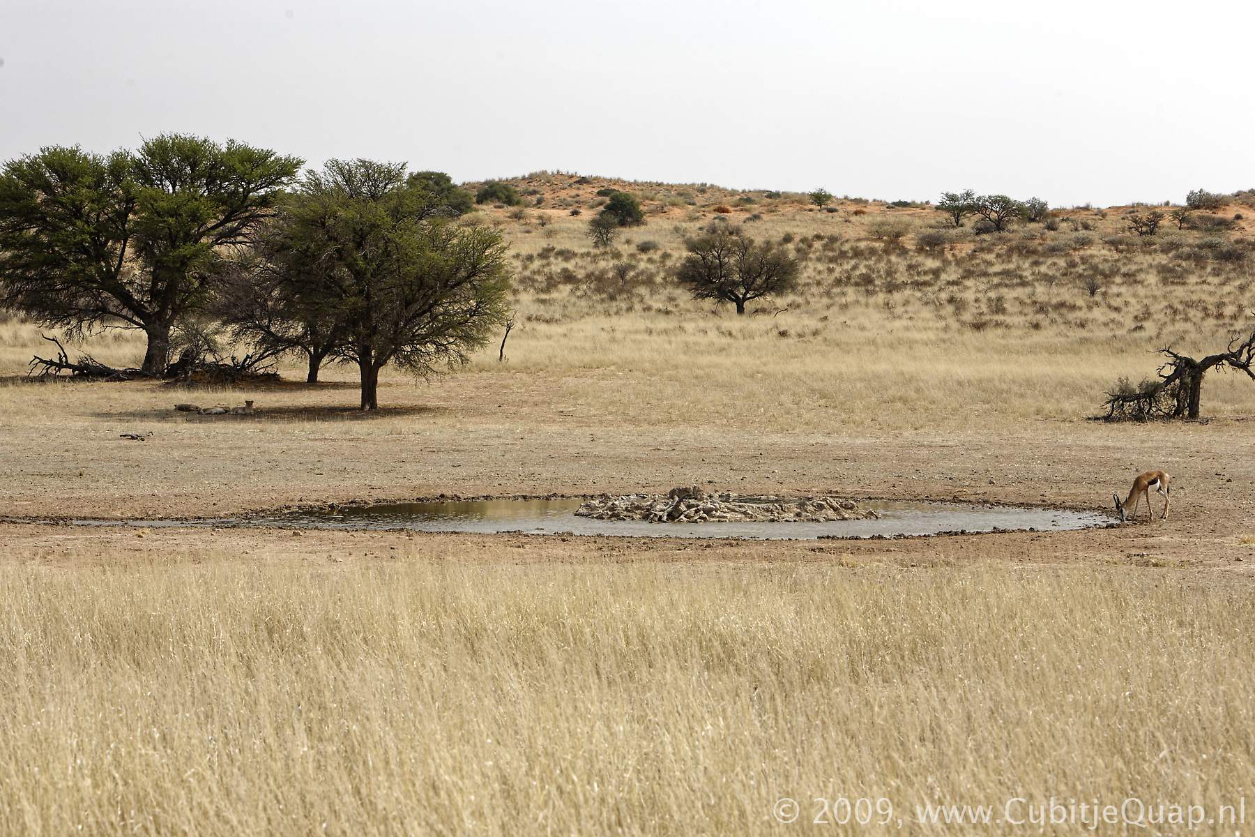
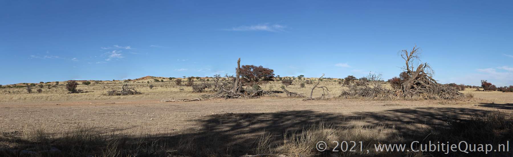
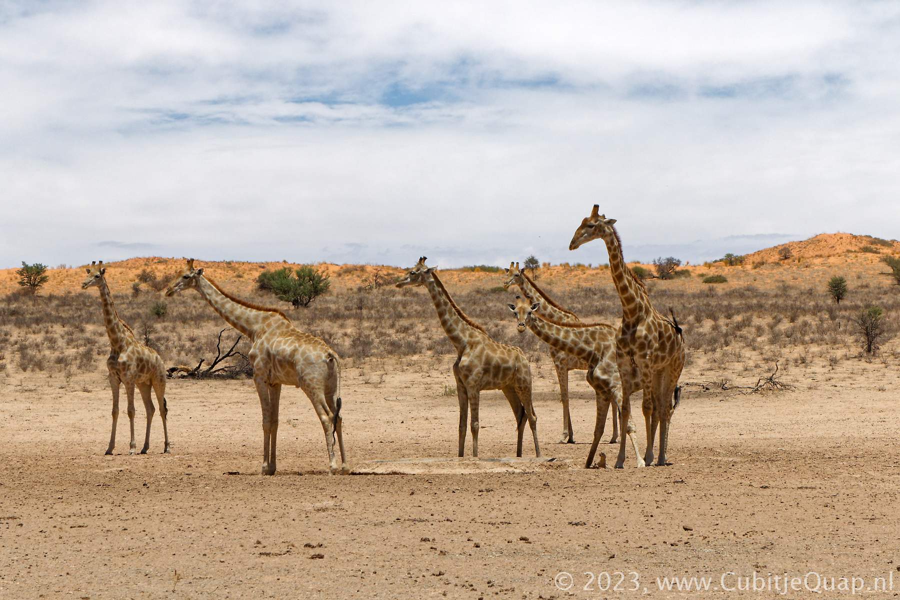
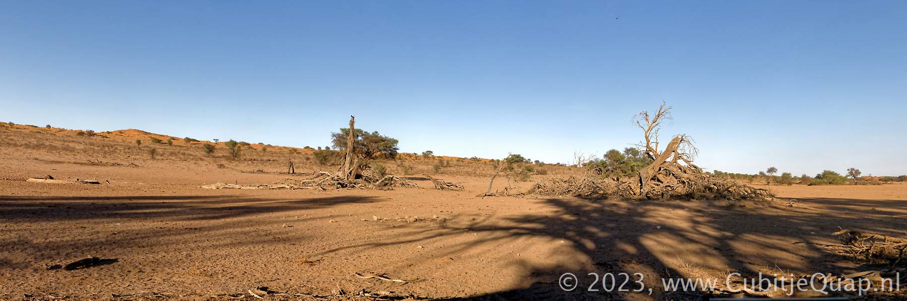
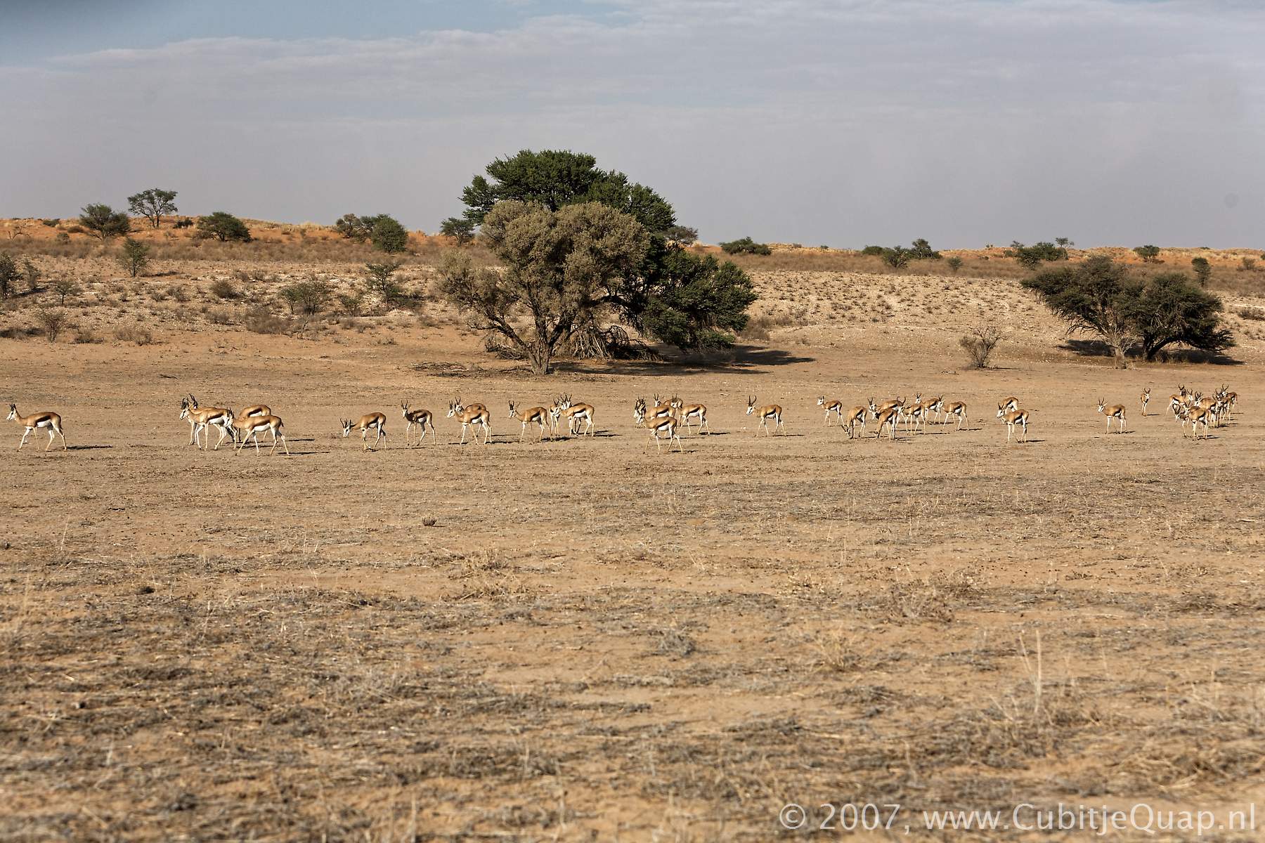
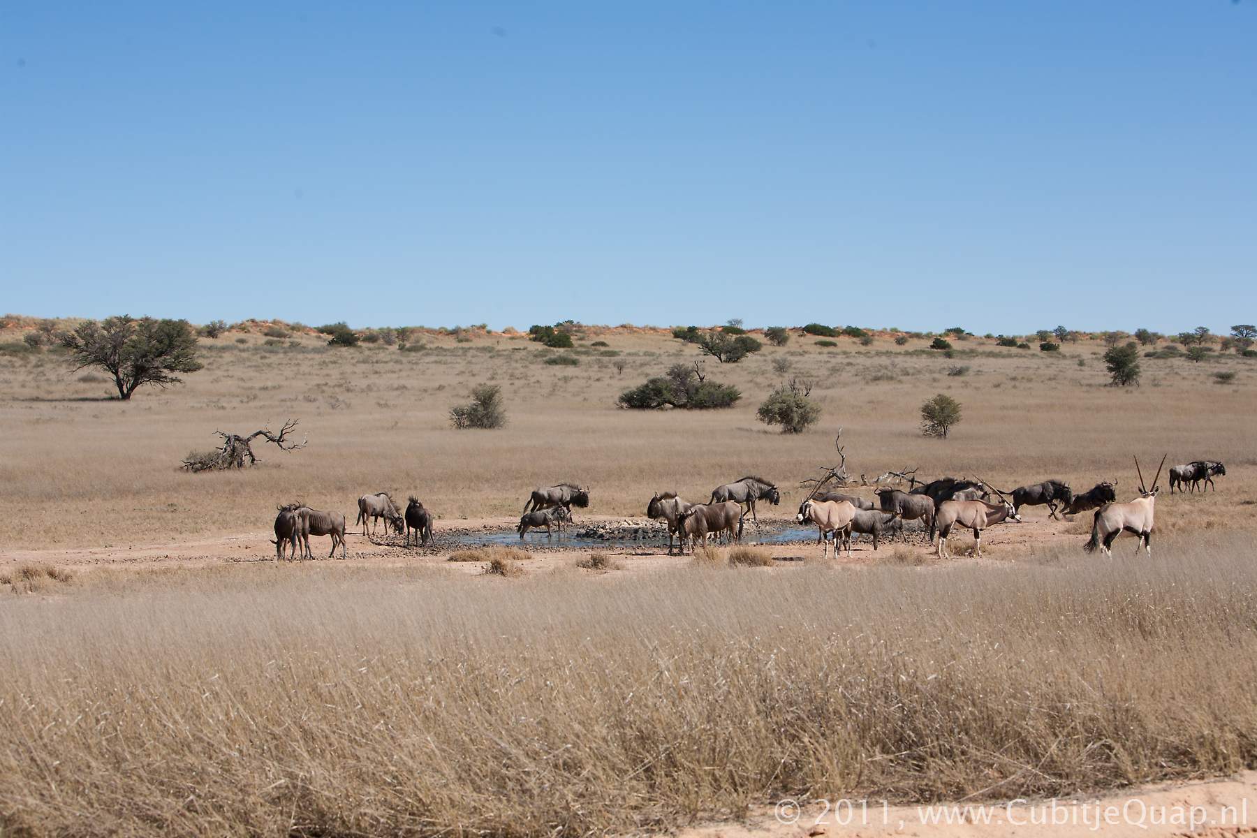
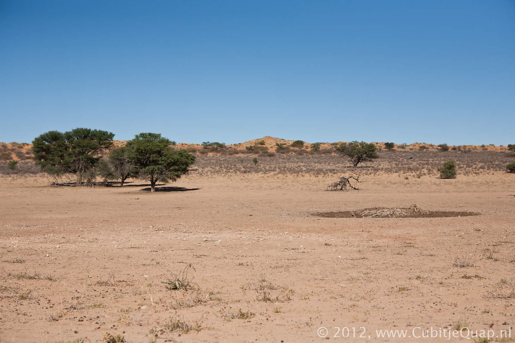
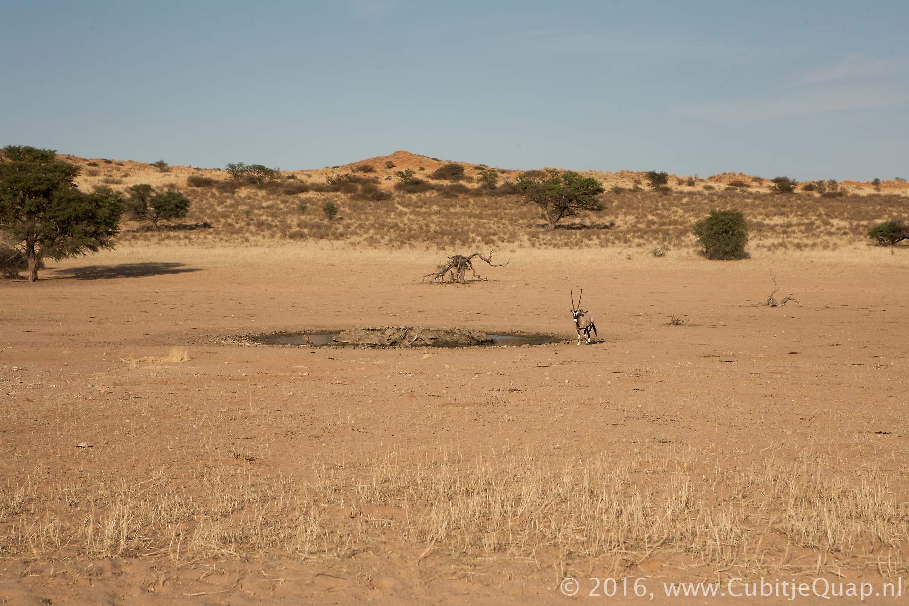
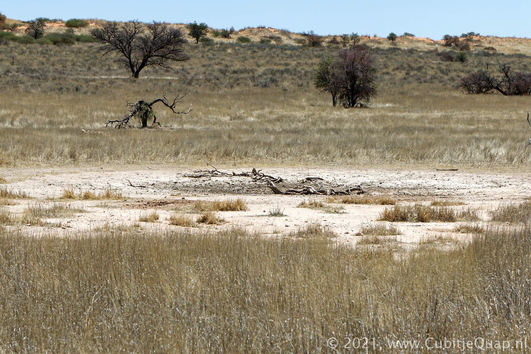
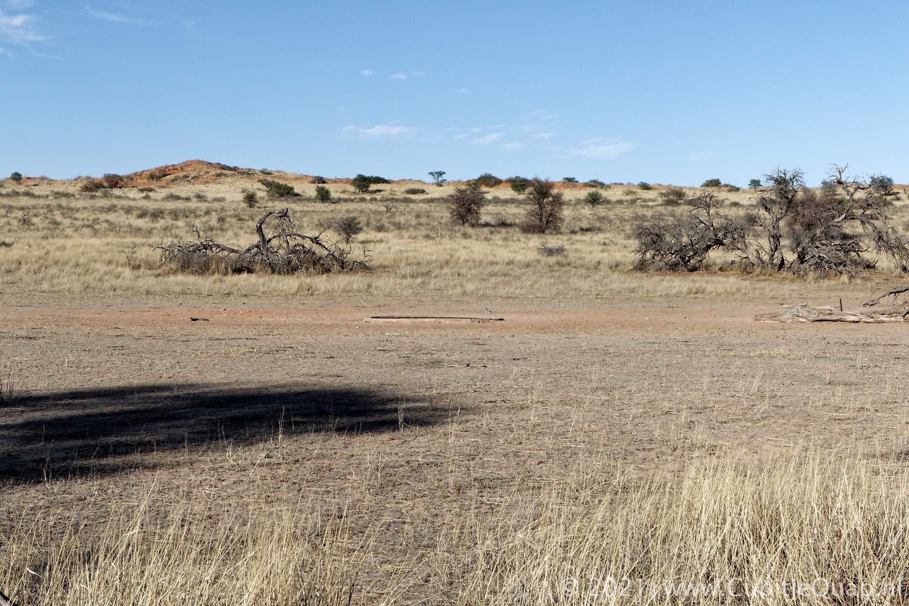
The old Veertiende boorgat waterholePhotography: The waterhole is located at the western side of a loop road, offering great opportunities for photography especially in the morning. The fields around Veertiende Boorgat are quite popular with grazers like wildebeest. We've seen lions regularly here. At the viewpoint next to the road, a big camel thorn offers some shade.
GPS Coordinates: S25 56 46.7 E20 13 05.4 (Google Maps)