The Nossob River
Geography
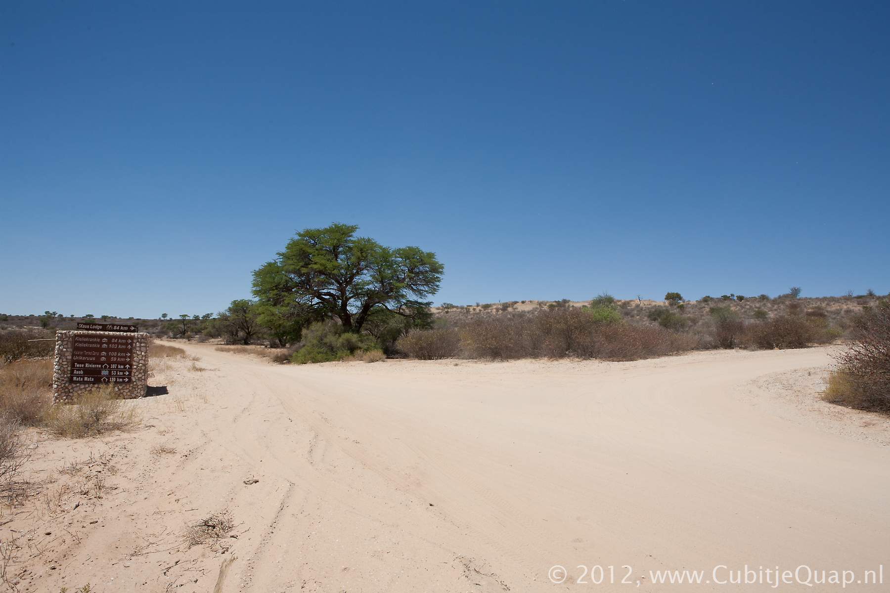
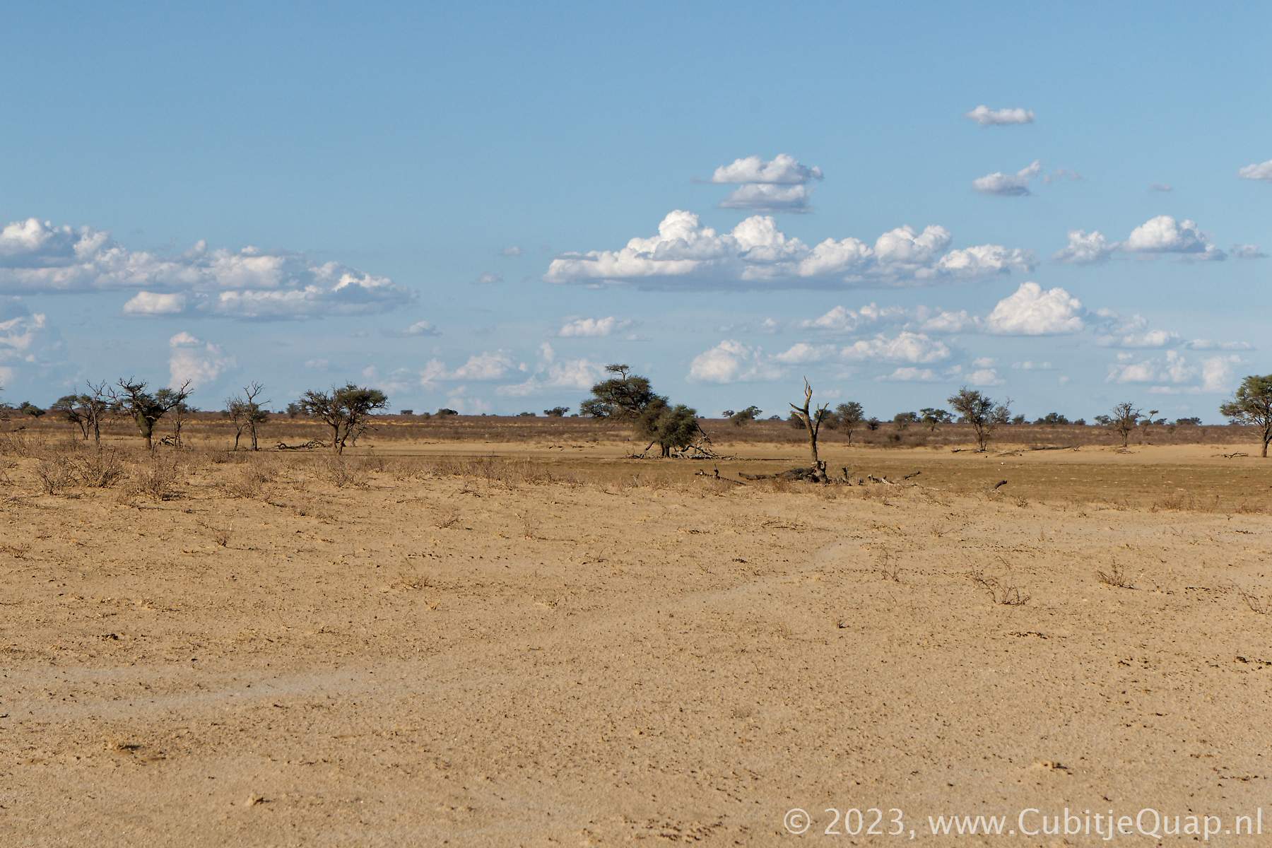
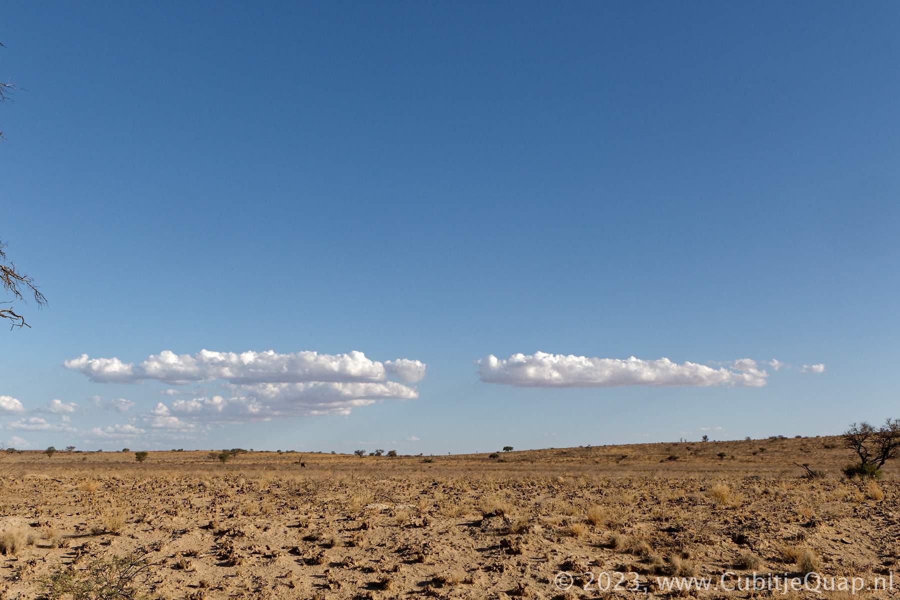
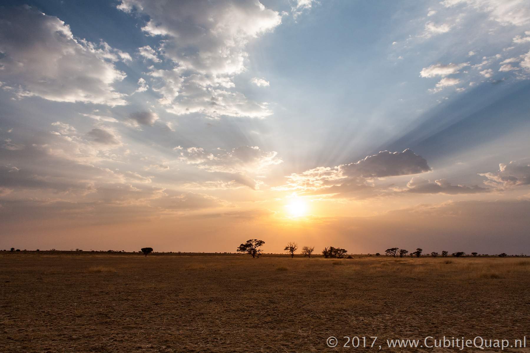
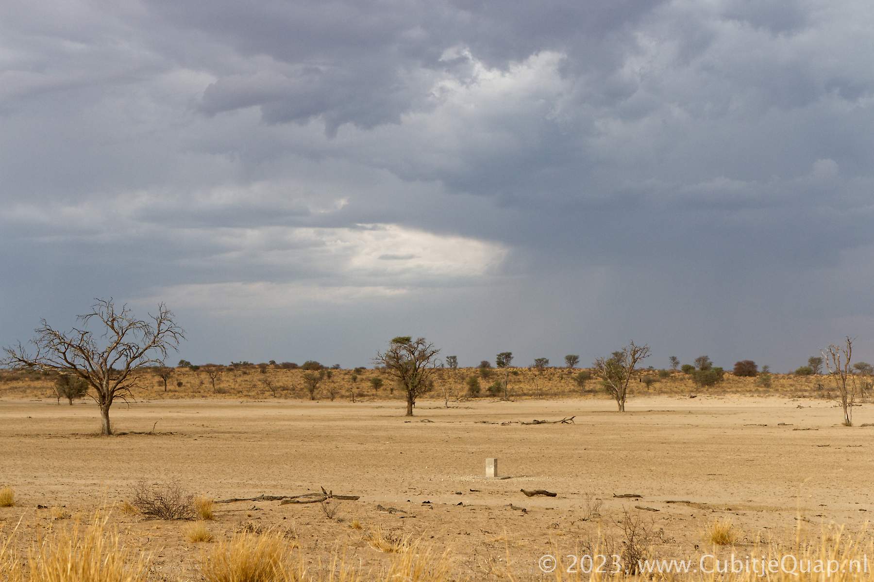
The Nossob river is a 740 kilometer long river flowing from Namibia and Botswana into South Africa. Its origin is in two rivers, the Swart-Nossob (Black Nossob) and Wit-Nossob (White Nossob), in the Otjihavera mountain range, east of Windhoek in Namibia. The Swart-Nossob and Wit-Nossob confluence south of Gobabis in east-Namibia. The Nossob then goes south and enters South Africa at Union's End, which was the most northern point of the Union of South Afica (the Natal and Cape colonies under British rule from May 1910 to May 1961). Today Union's End is the extreme northwesterly point of South Africa. It marks the meeting place of the borders of South Africa, Botswana and Namibia. Namibia is fenced off from Botswana and South Africa. But, as Union's End lies in the Transfrontier park, there is no fence between Botswana and South Africa at this point. The centre of the Nossob, which is the boundary between the two countries for some 200 kilometers, is marked at intervals by cement bollards with RSA and RB etched on the appropriate sides.Just north of Twee Rivieren the Auob river merges into the Nossob, flowing south. Some 60 kilometers south, near the village of Molopo, the Nossob confluences with the Molopo river.
General information
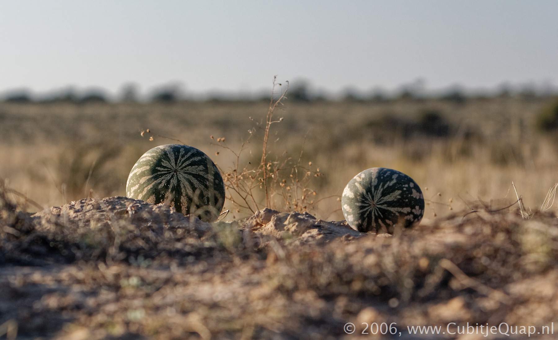
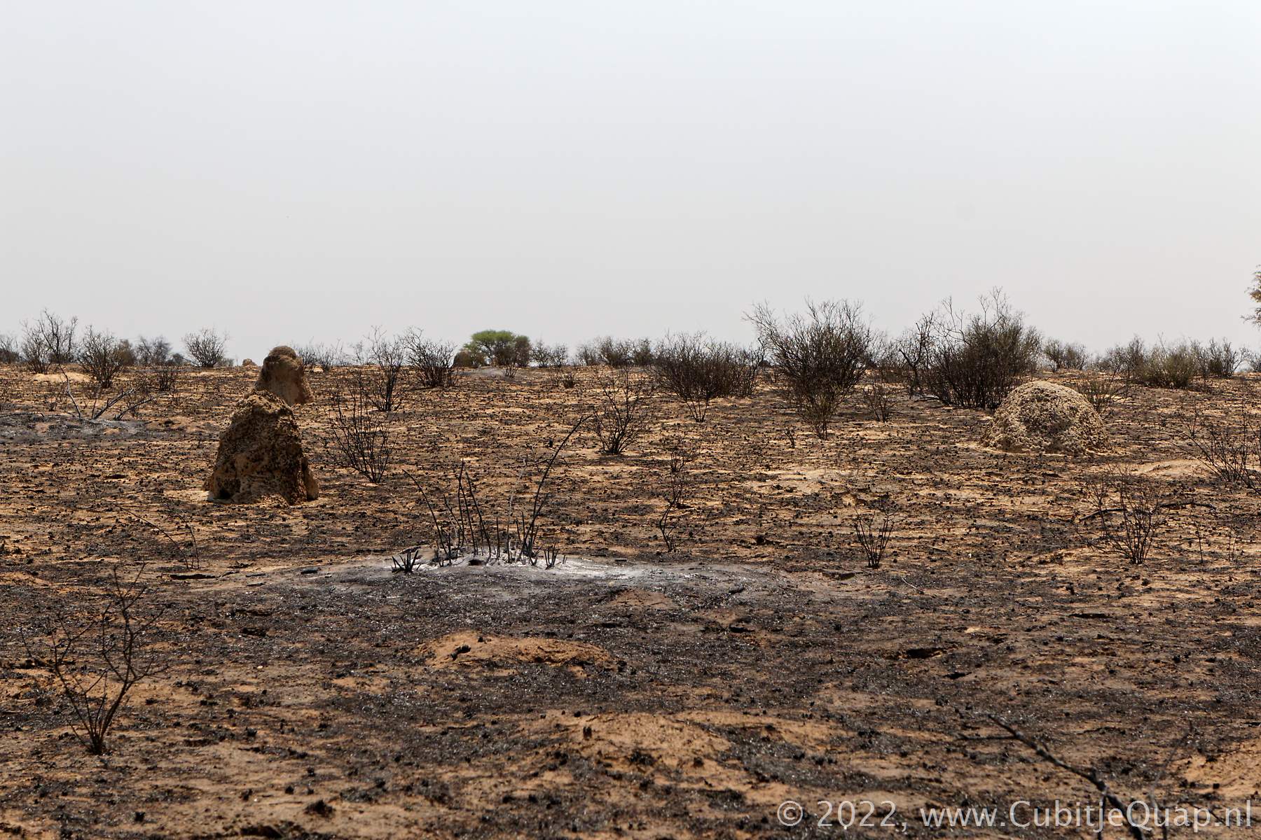
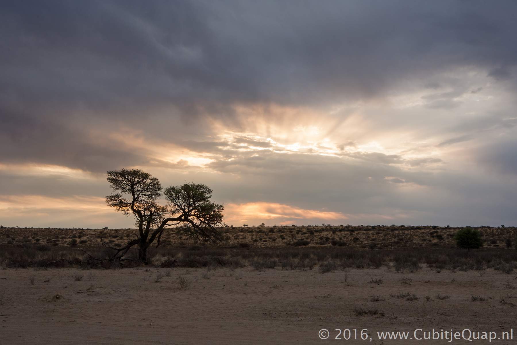
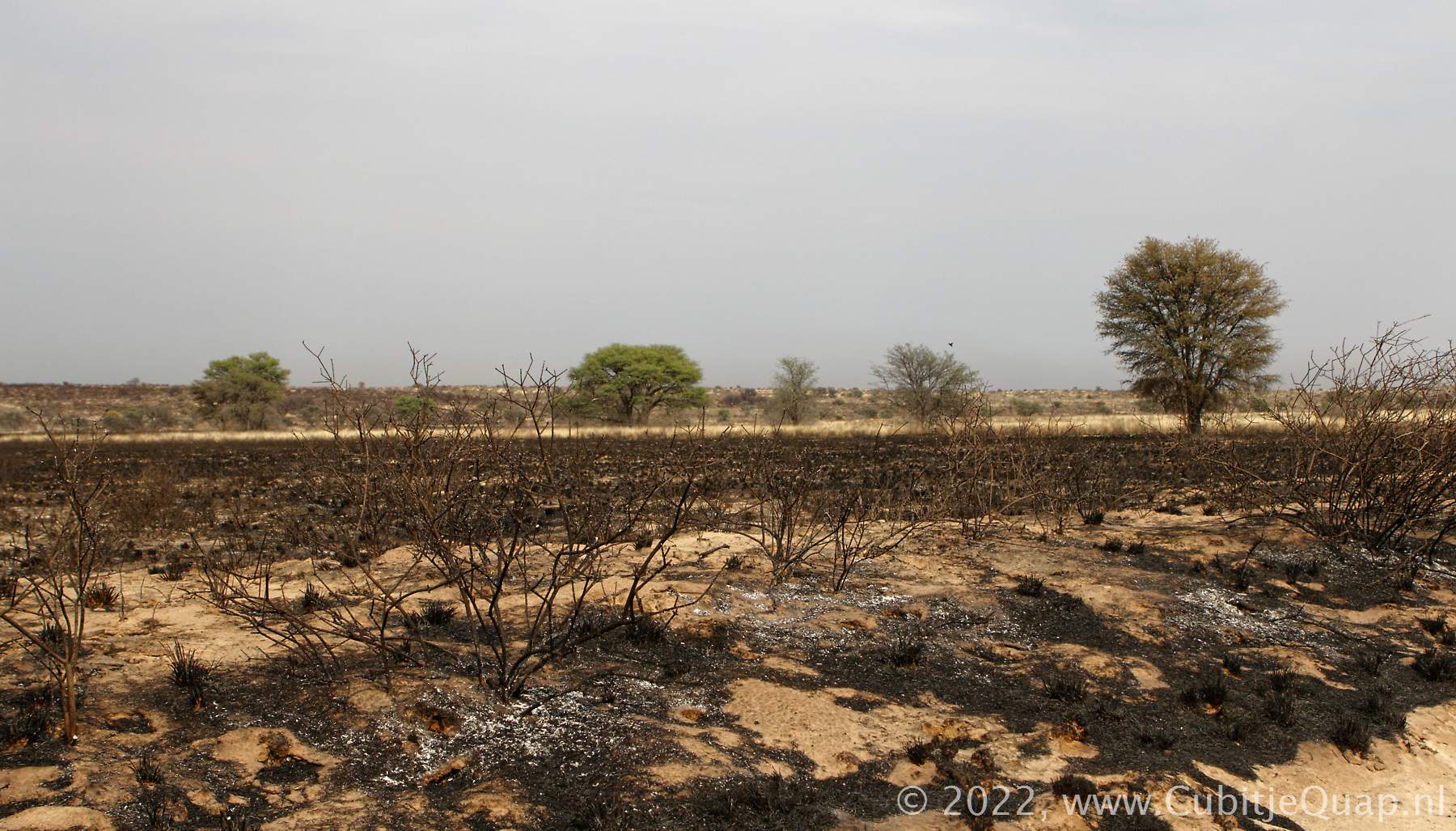
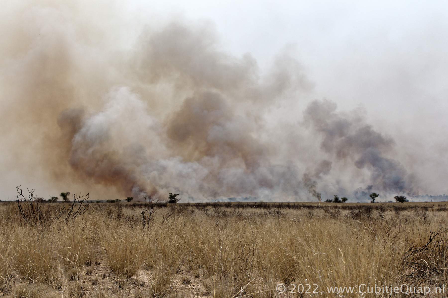
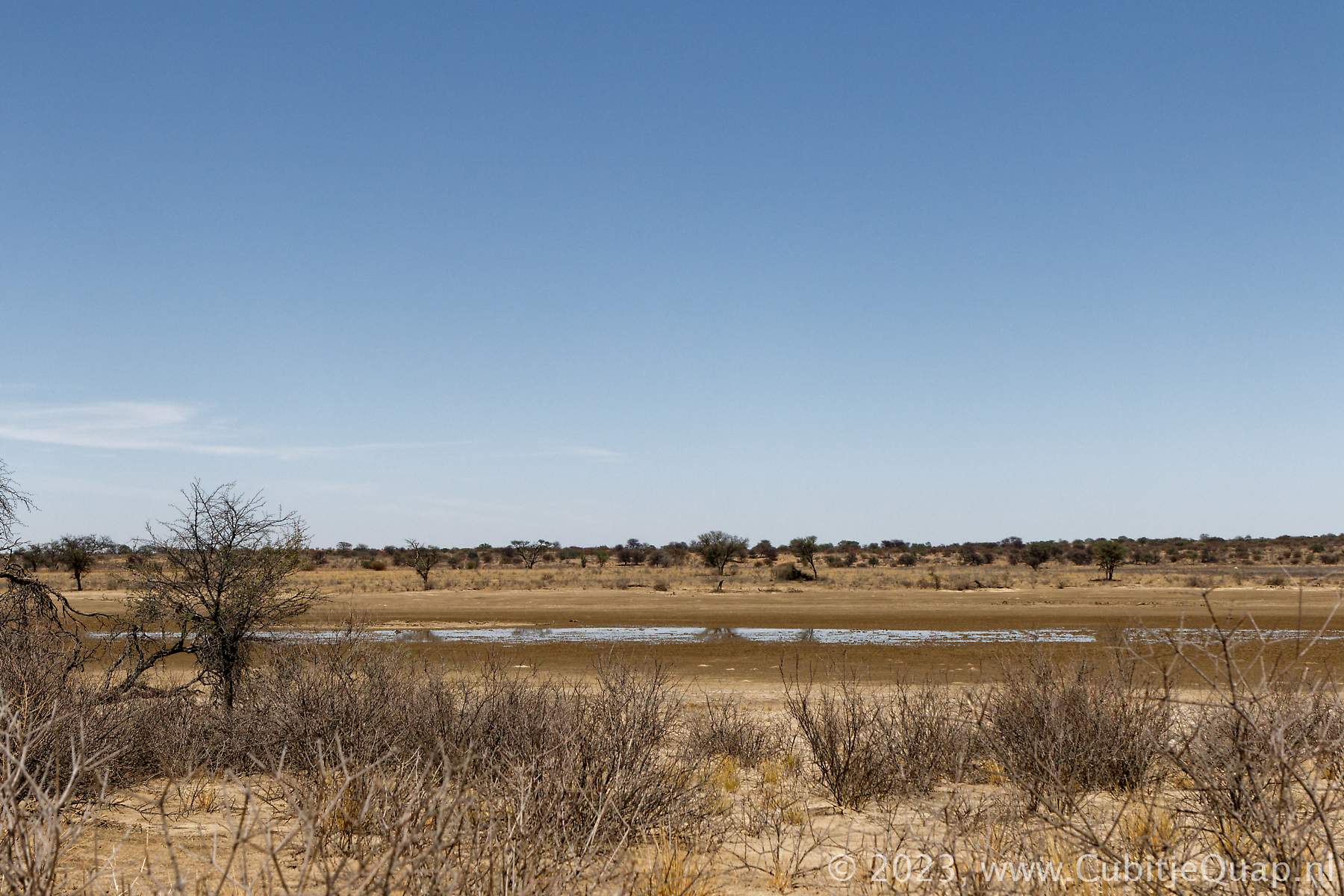
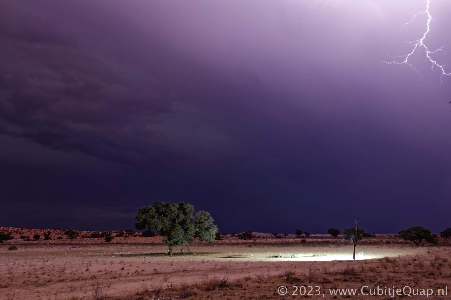
The word Nossob is derived from the Khoekhoe word "‡No ab". Modern speakers of the language are not certain whether "‡No" refers to 'Black' or 'Dry'. In the old language, N|u, the river is called ||o, meaning 'Dry'.In the Kalahari, they saying goes that the Nossob river only flows about once a century; the last times it really did flow in the Kalahari was in 1989.
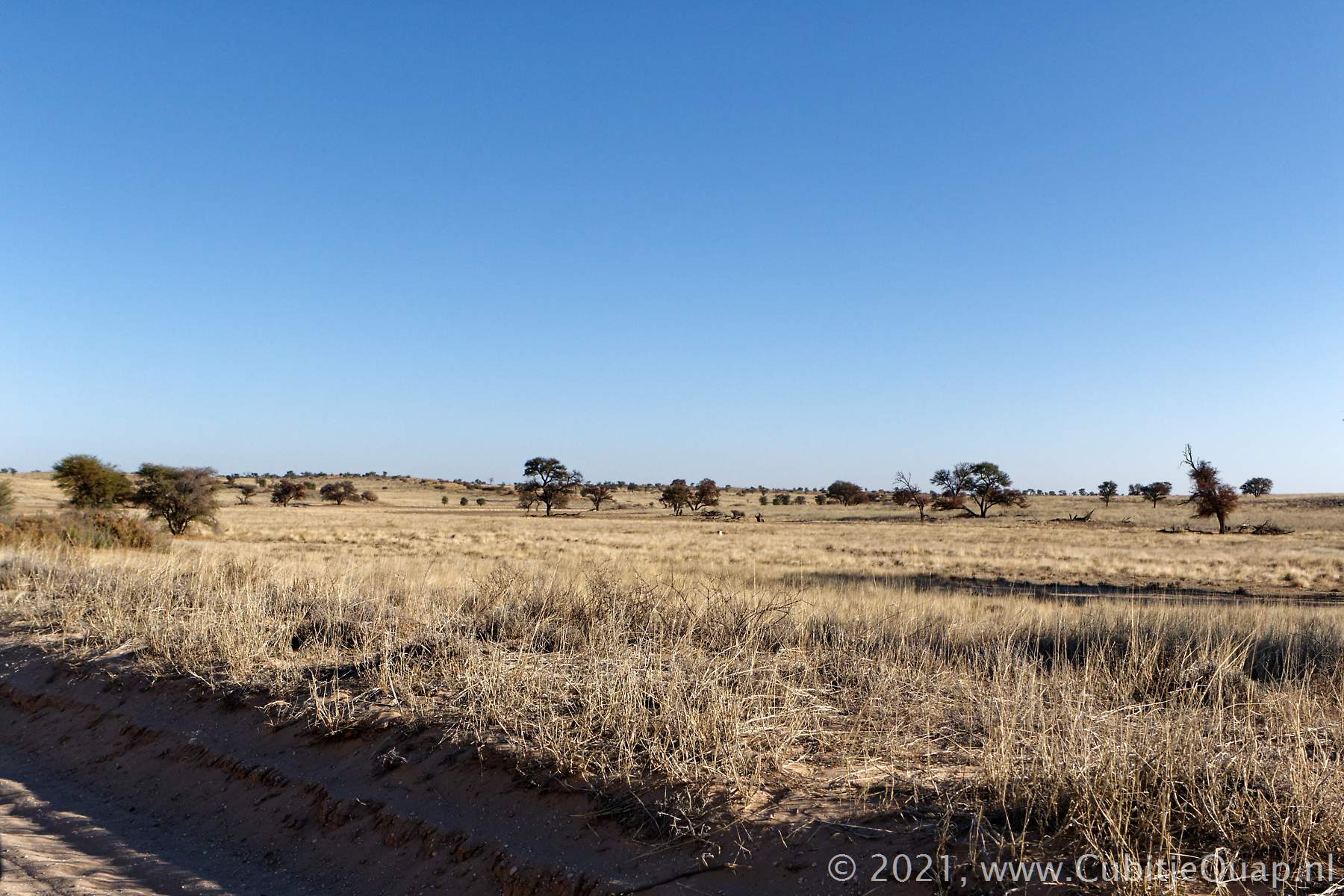
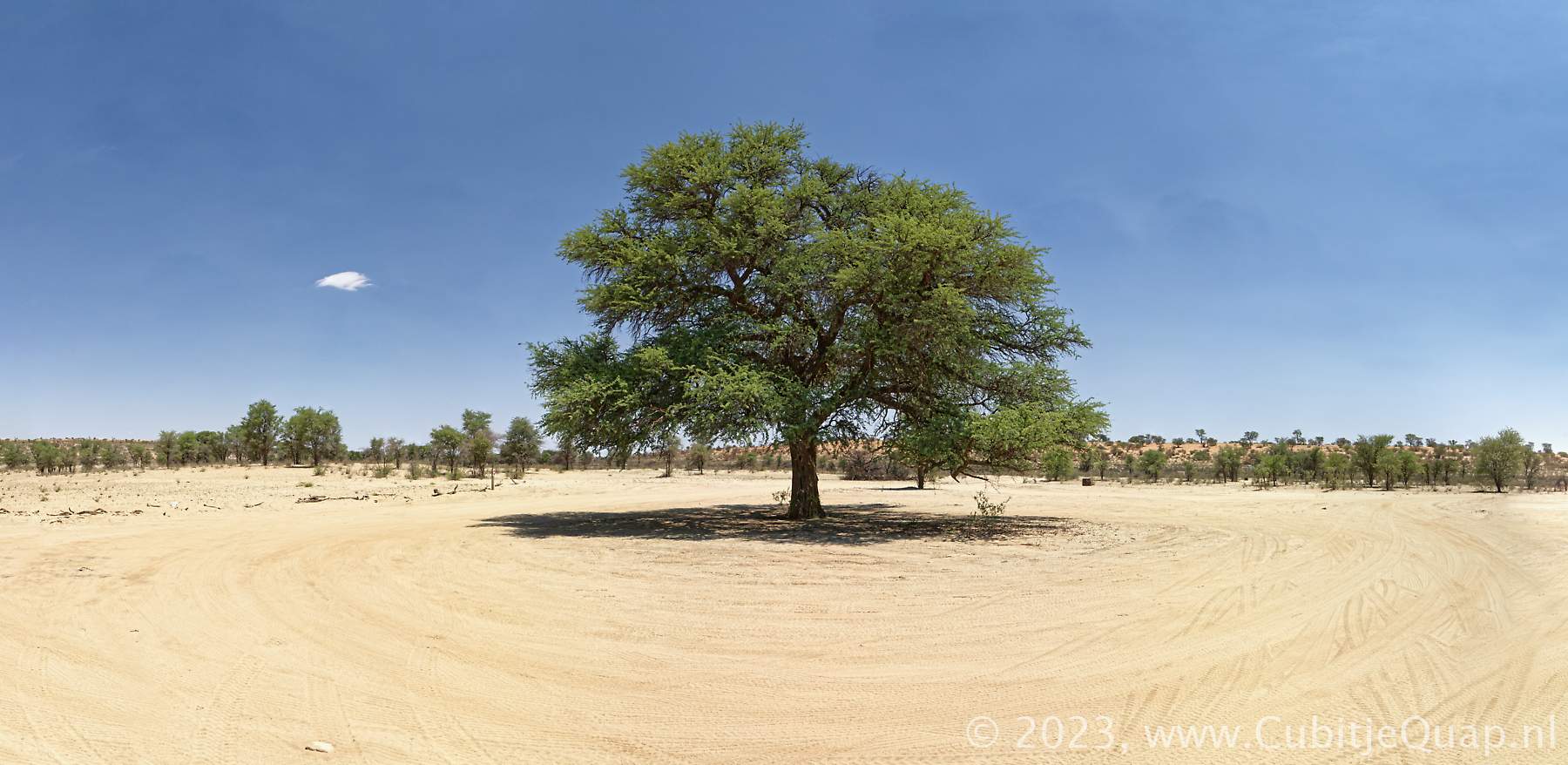
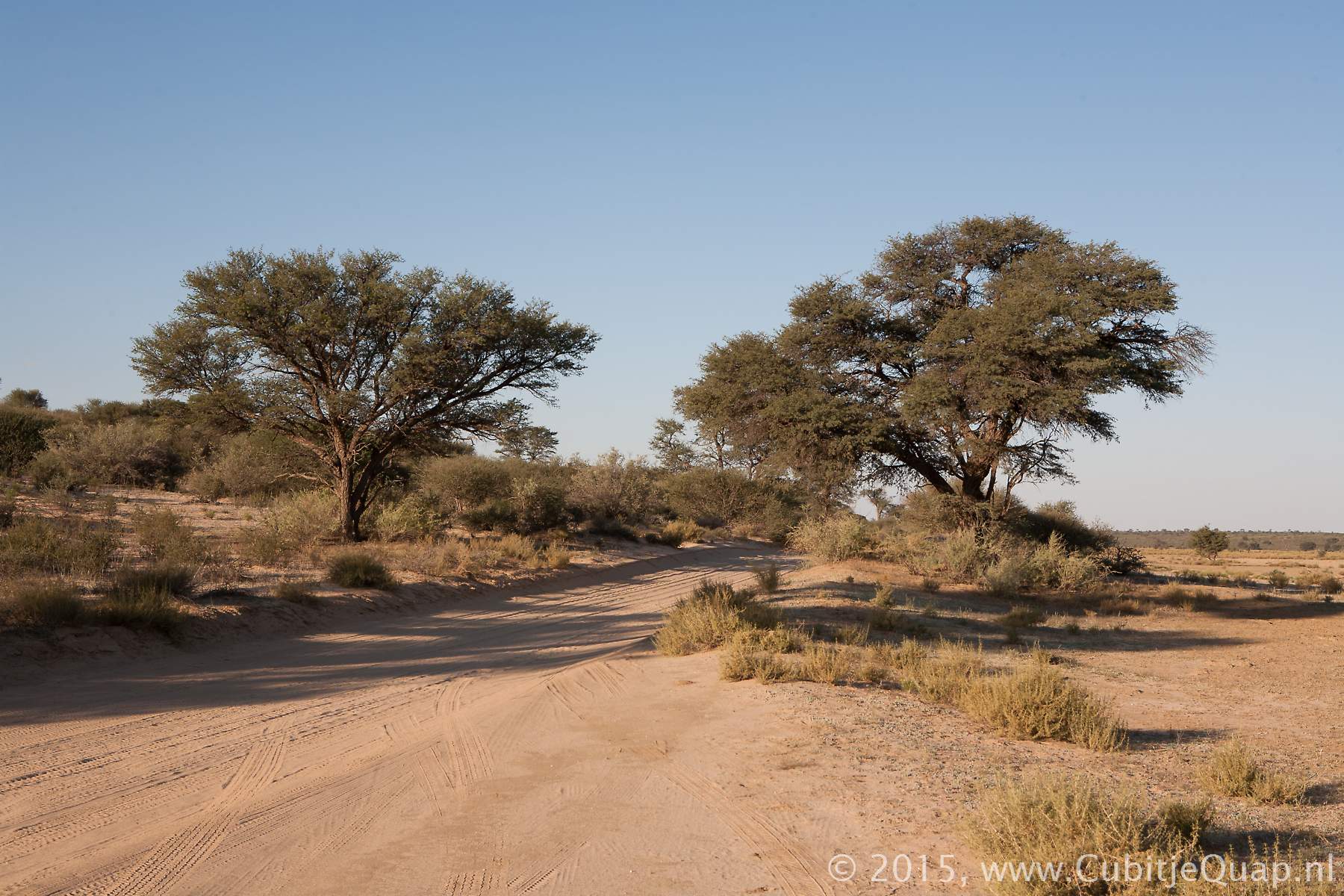
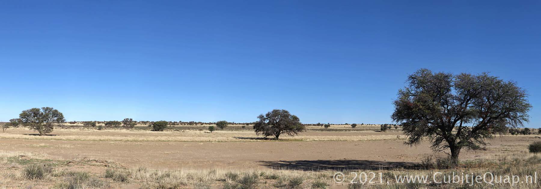
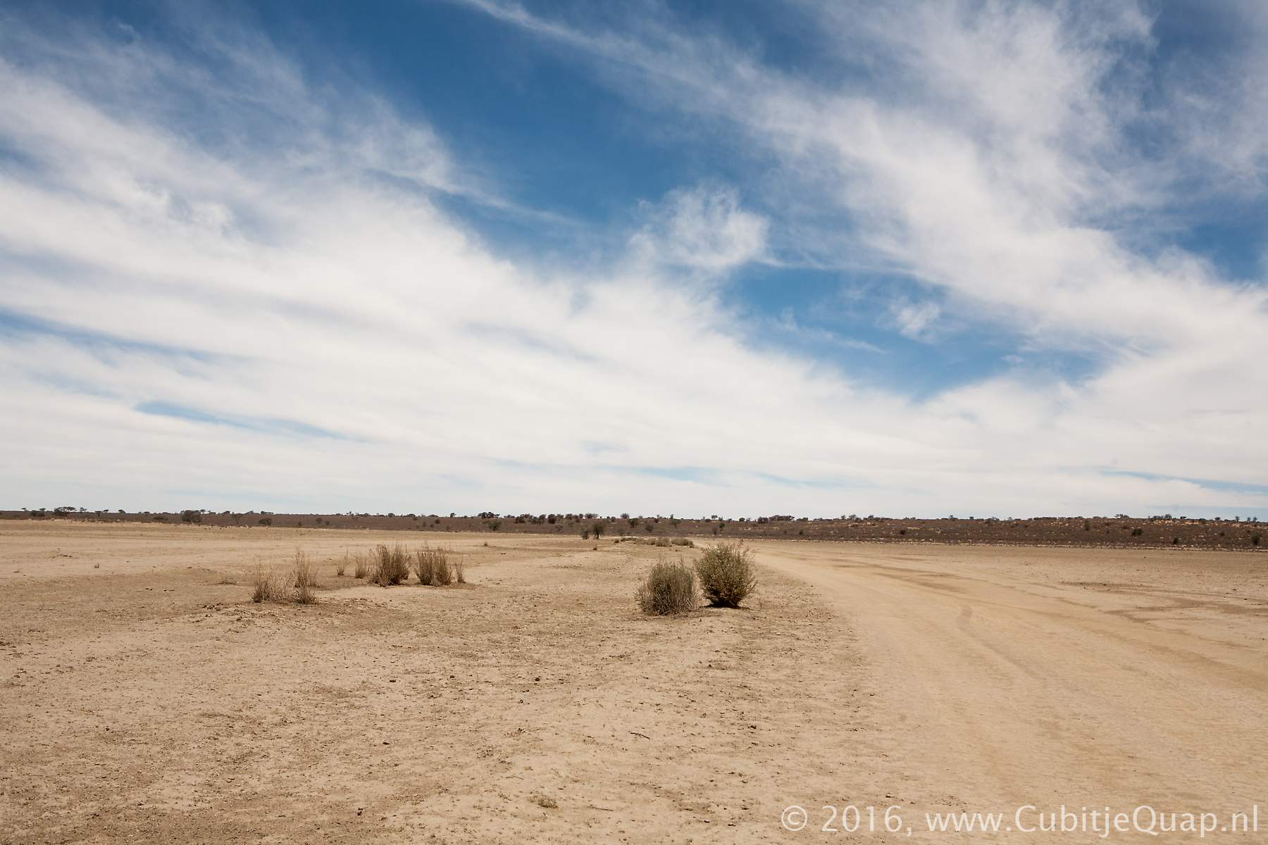
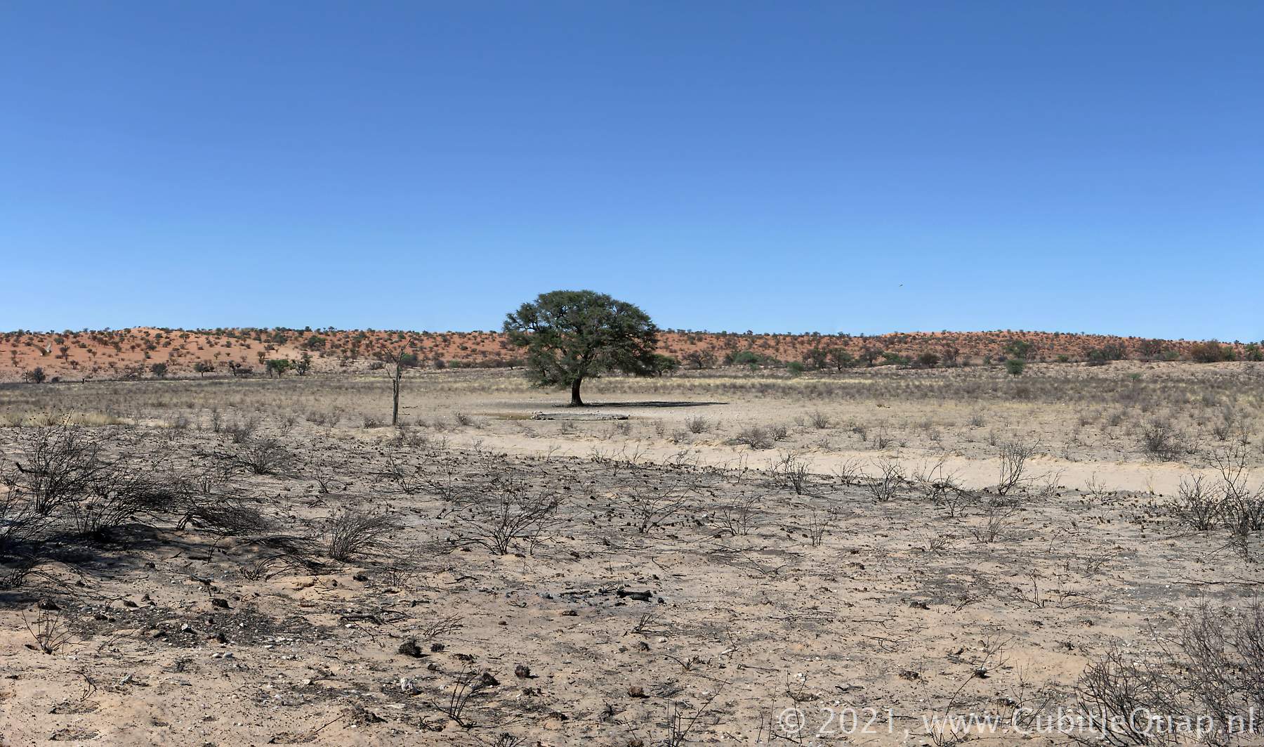
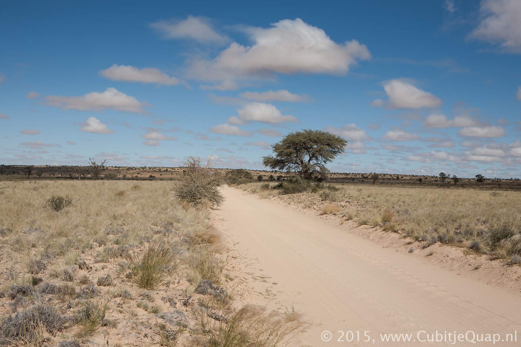
Twee Rivieren to Kij Kij
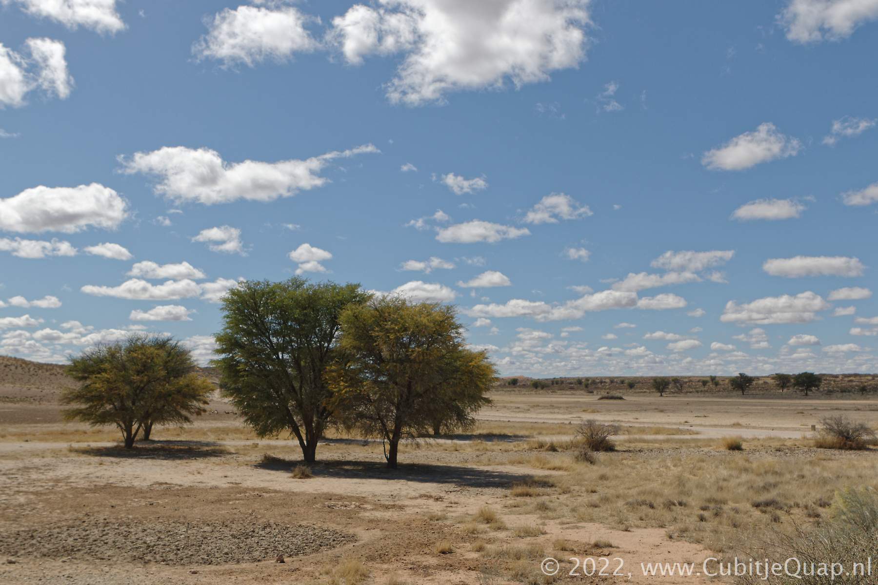
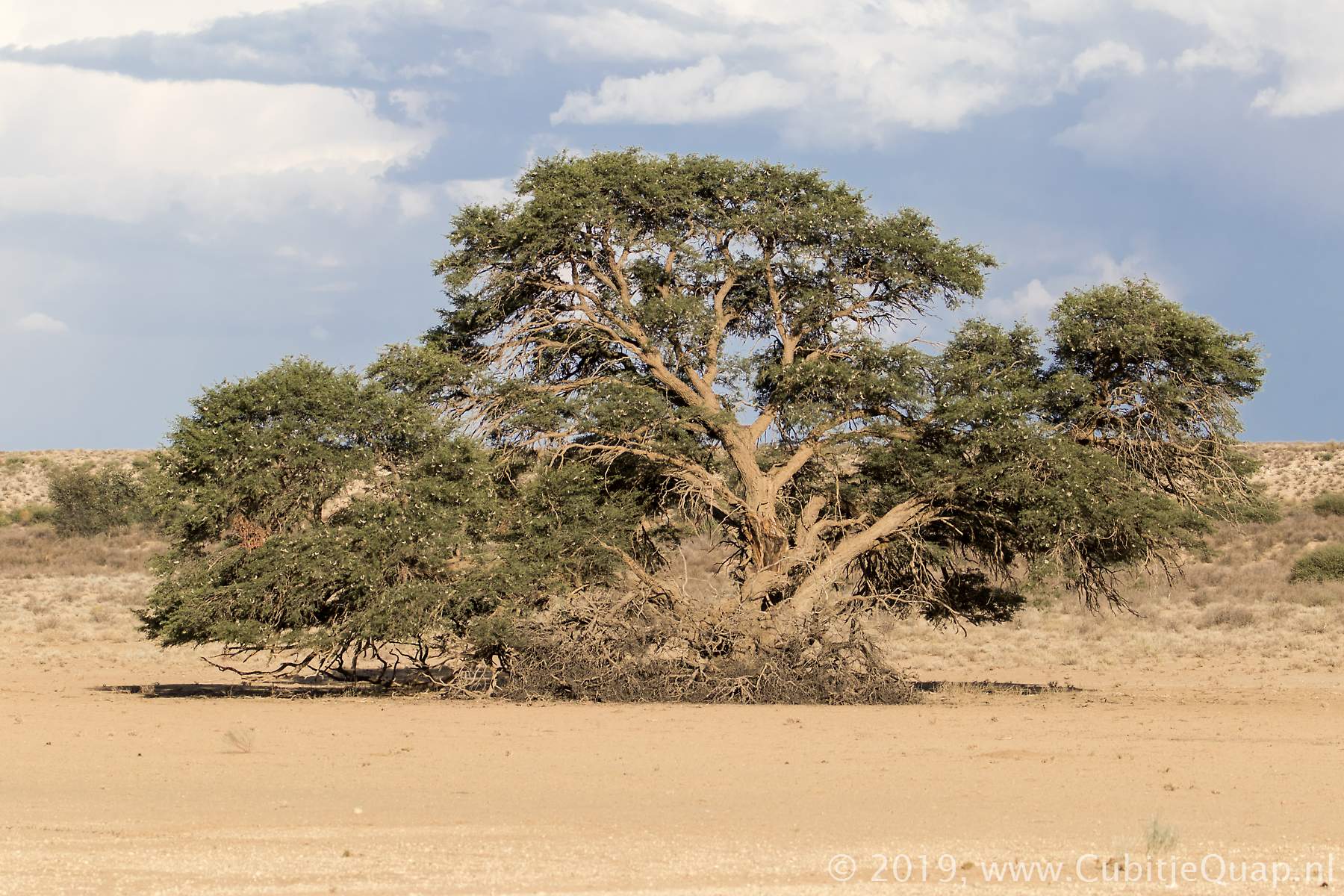
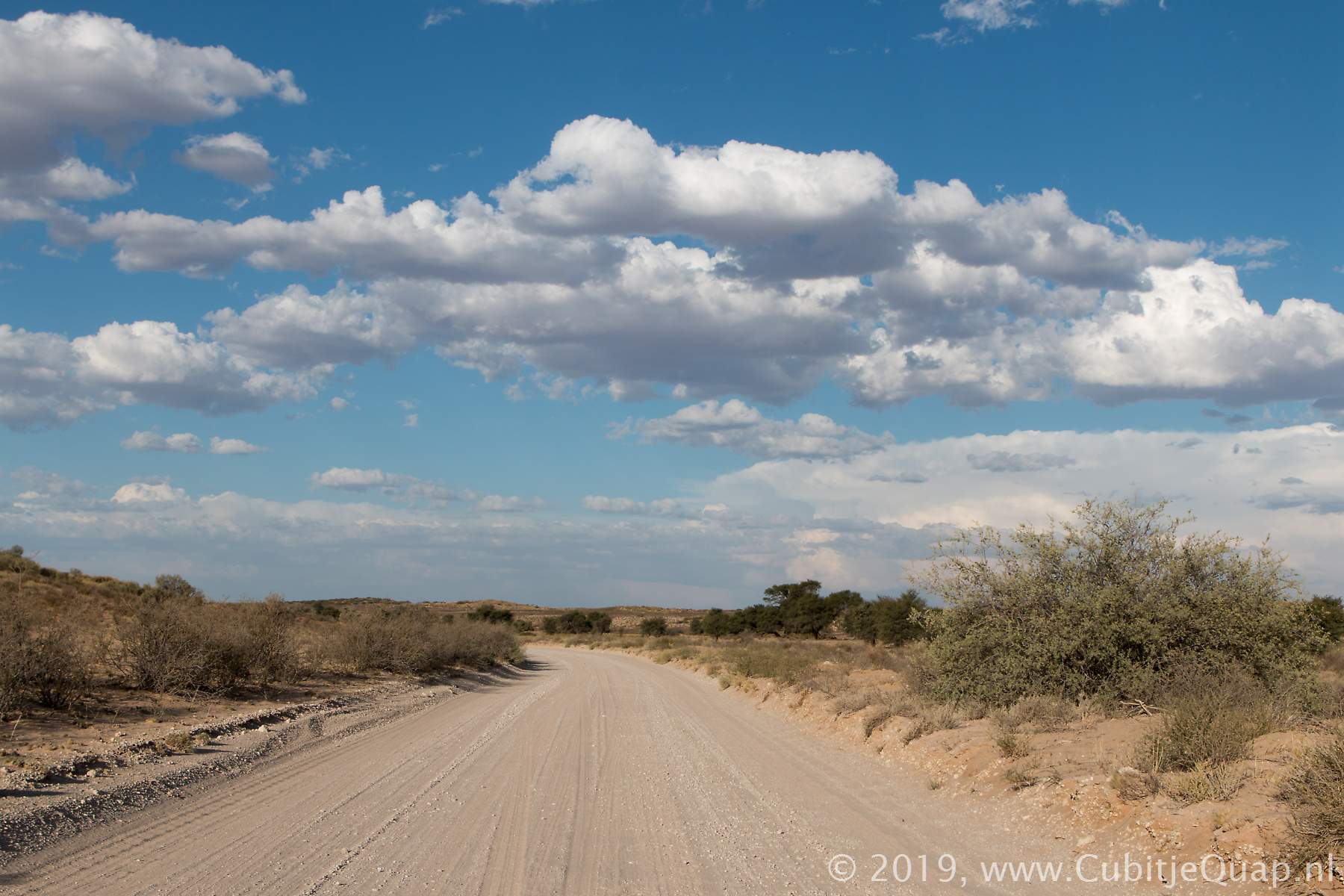
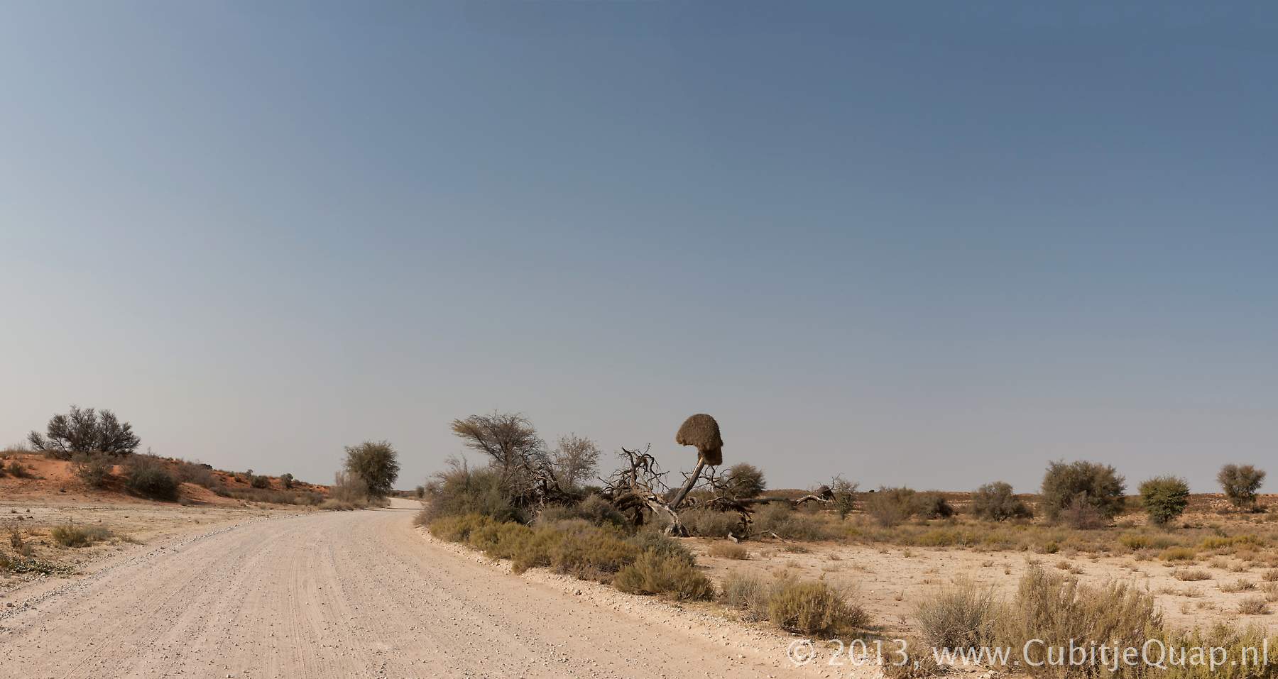
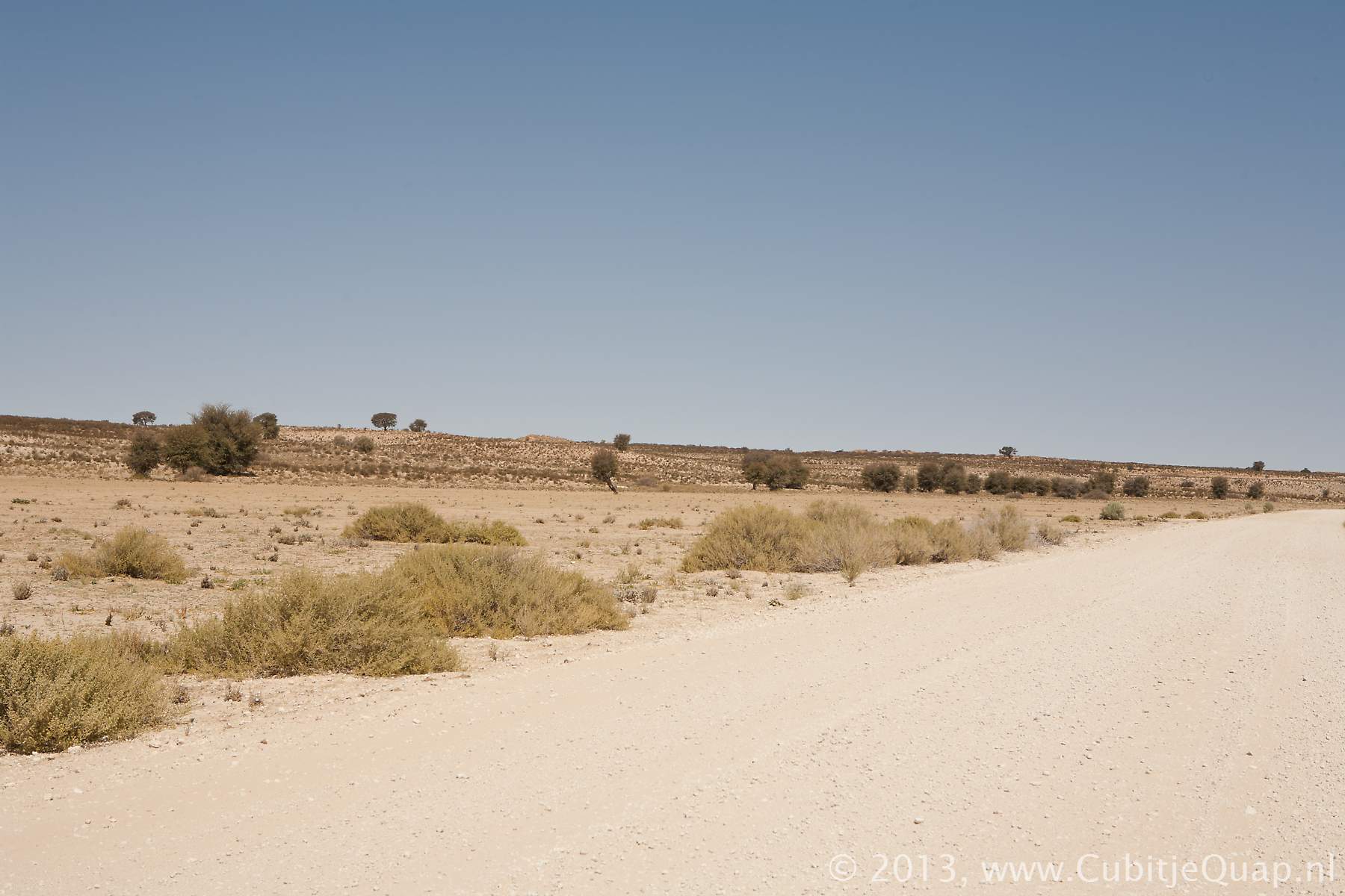
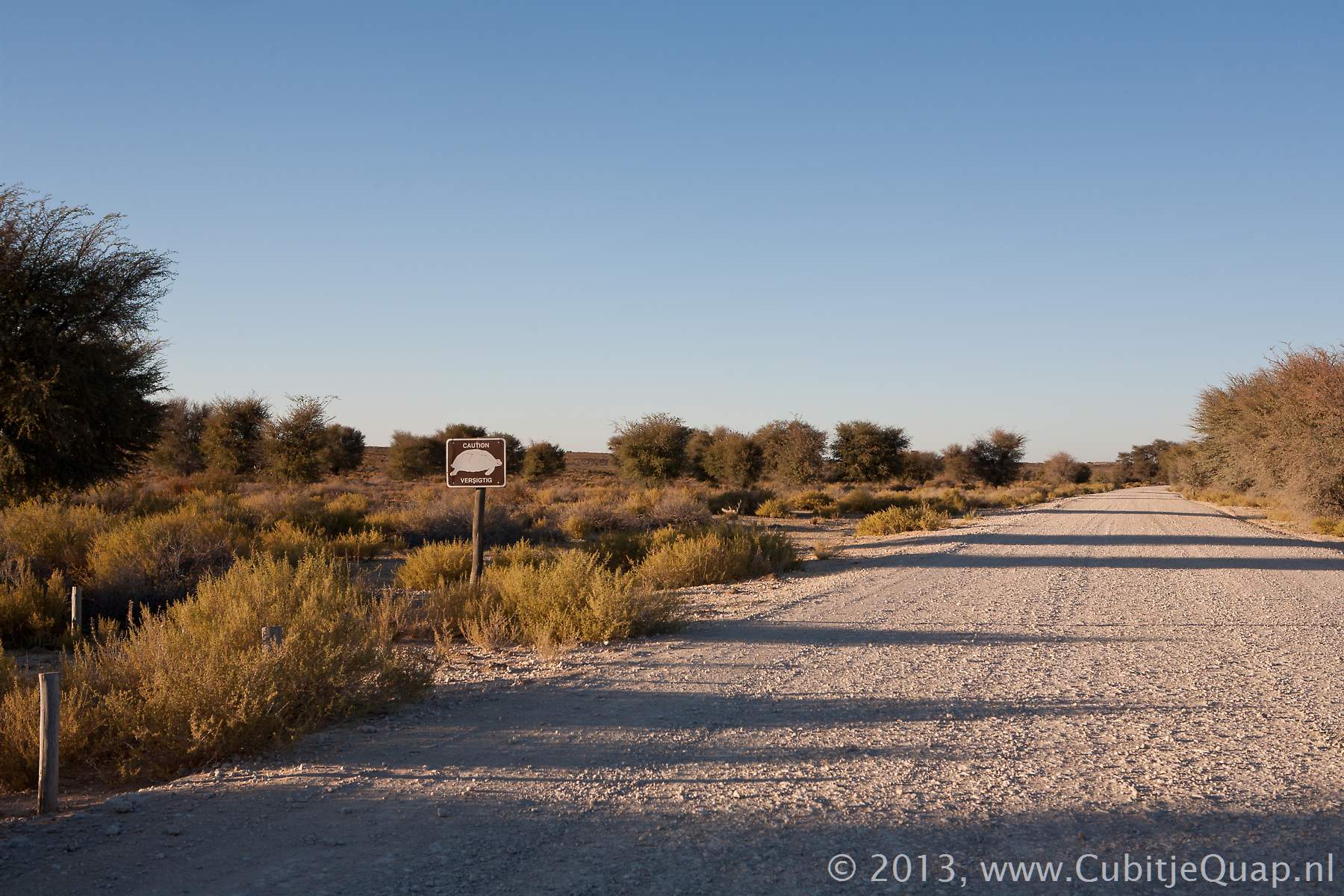
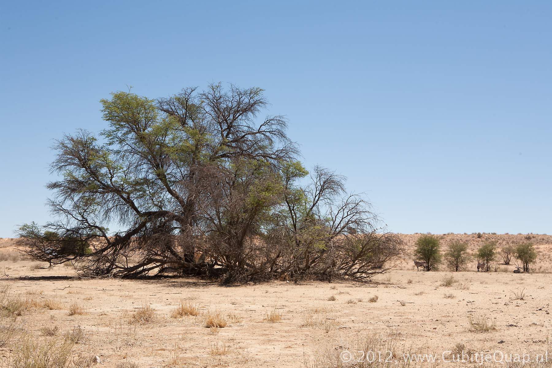
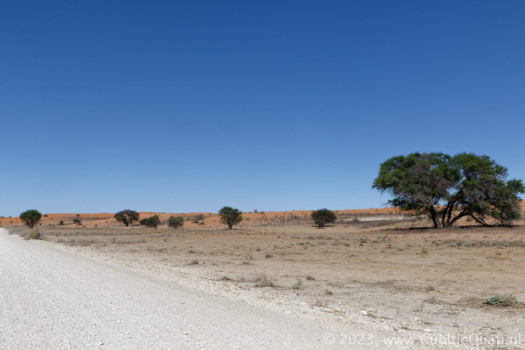
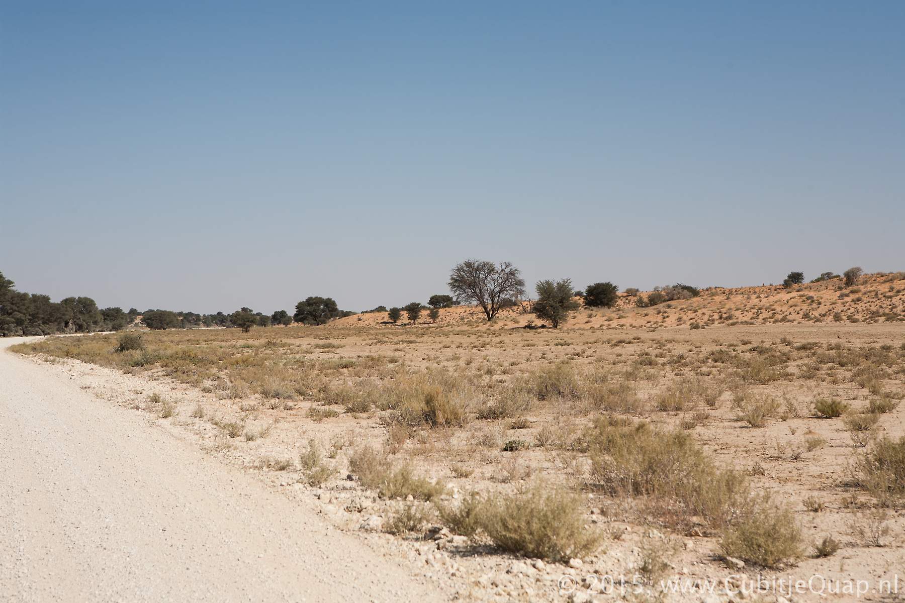
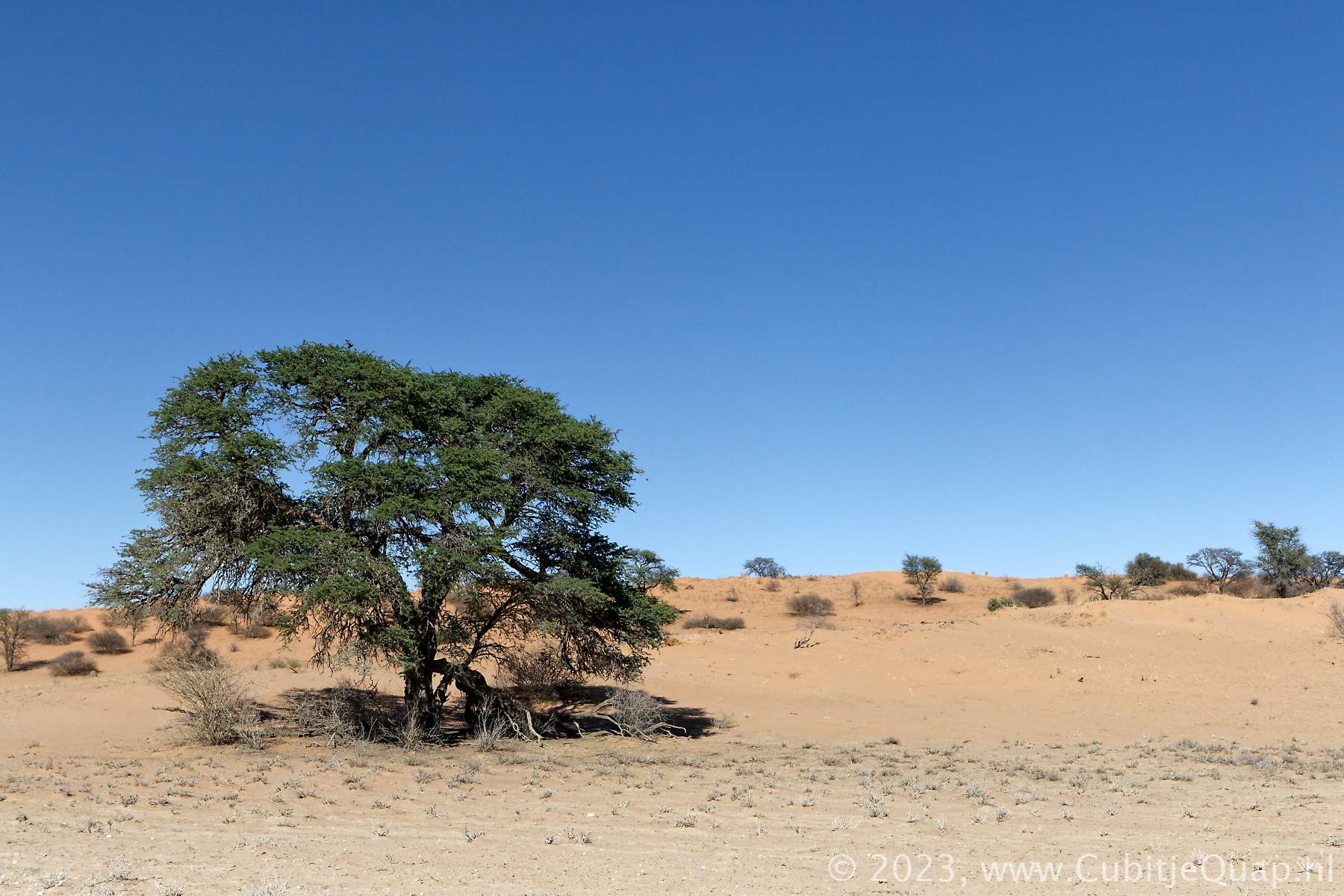
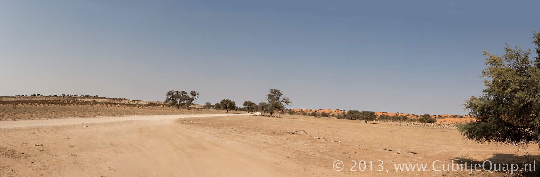
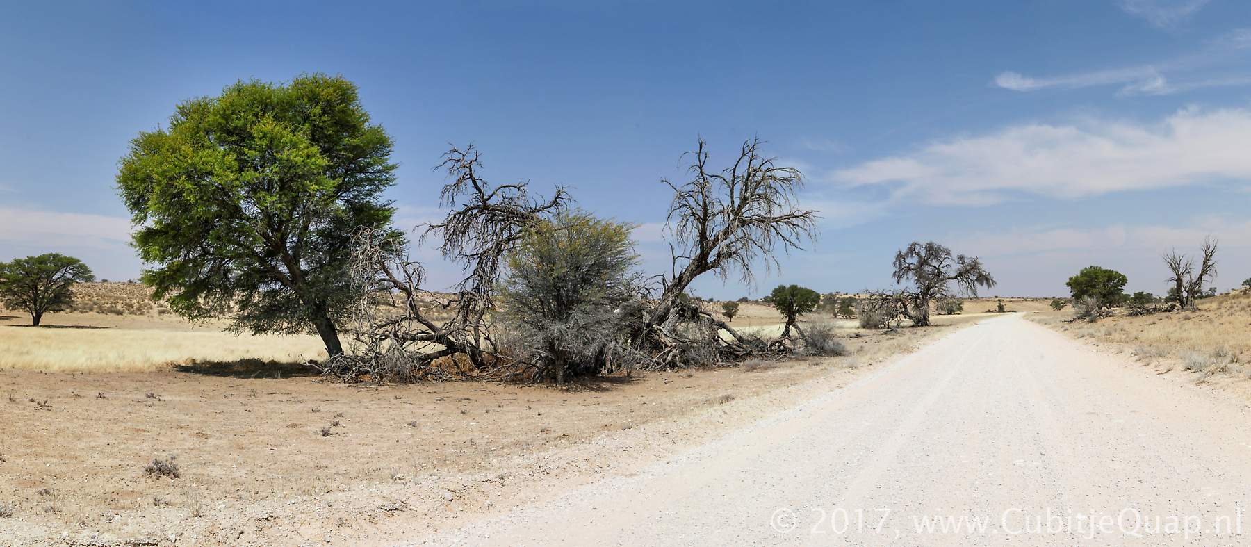
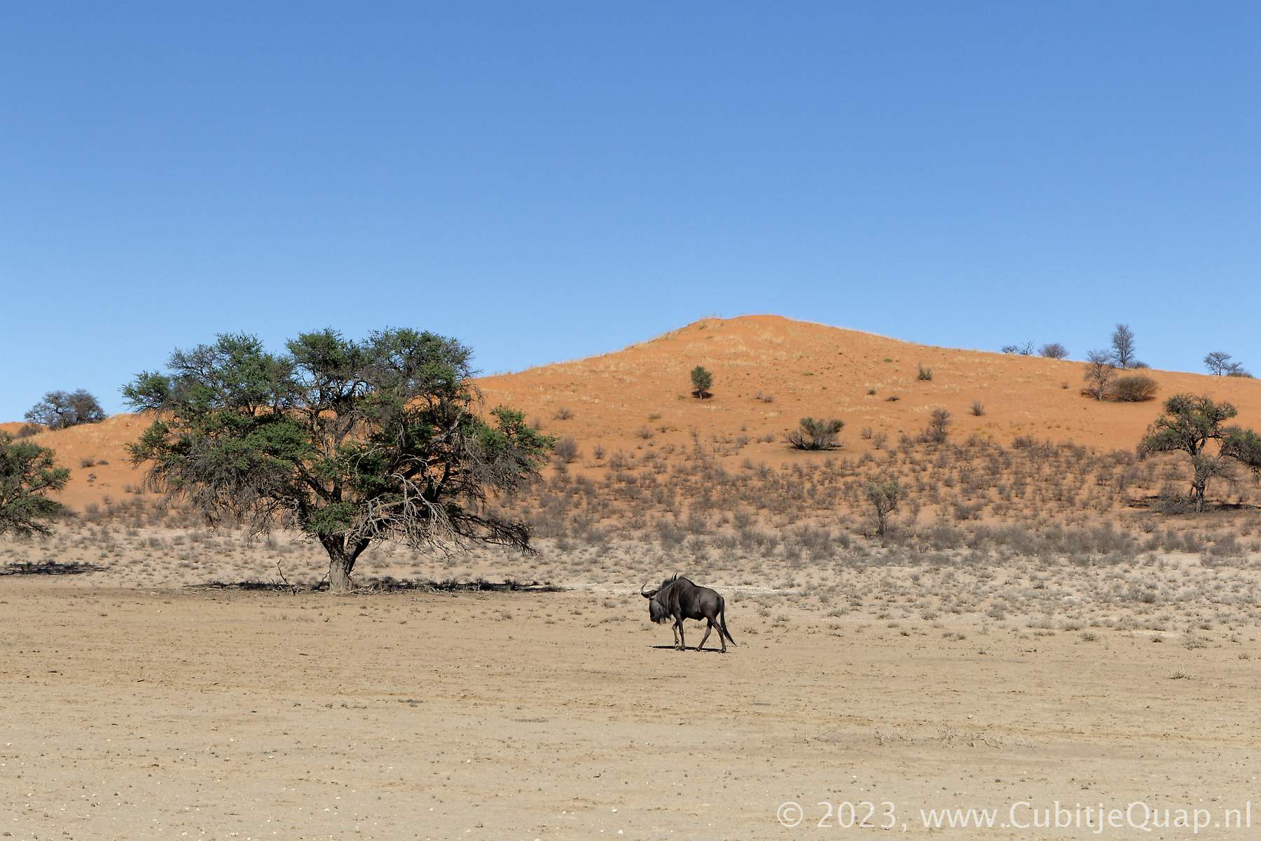
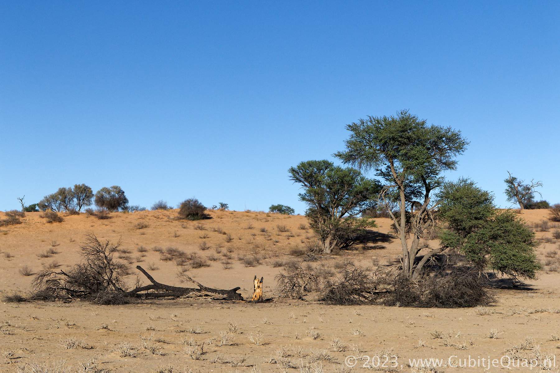
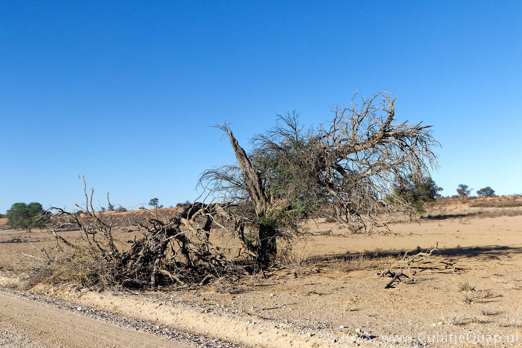
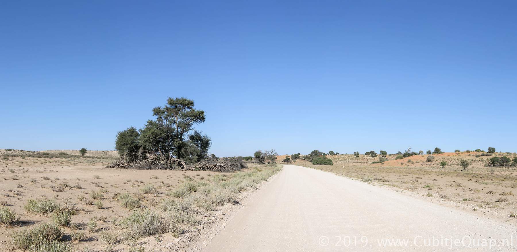
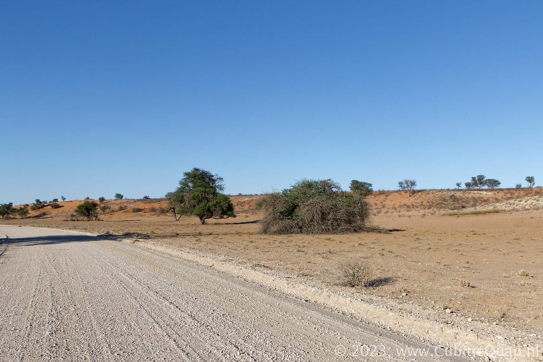
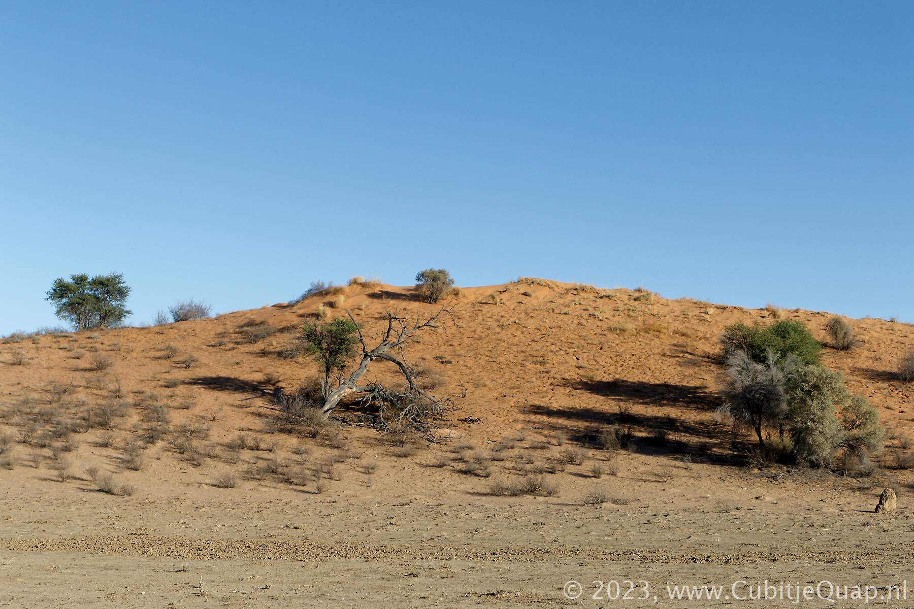
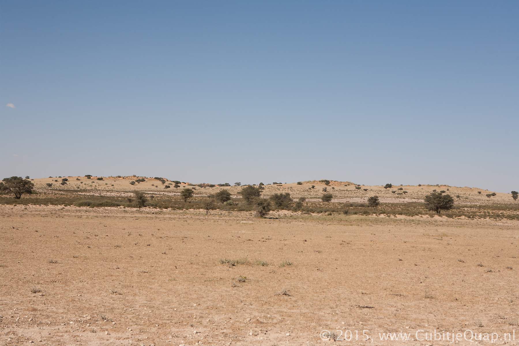
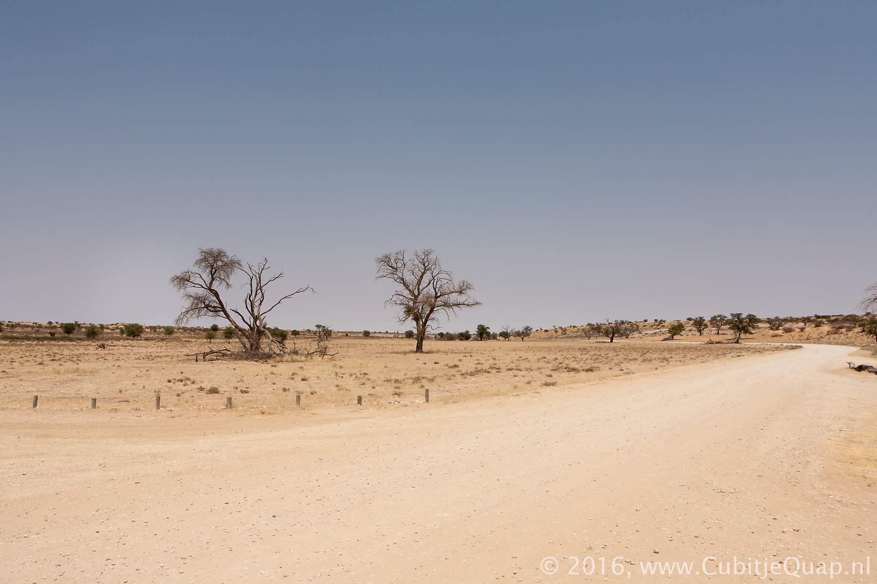
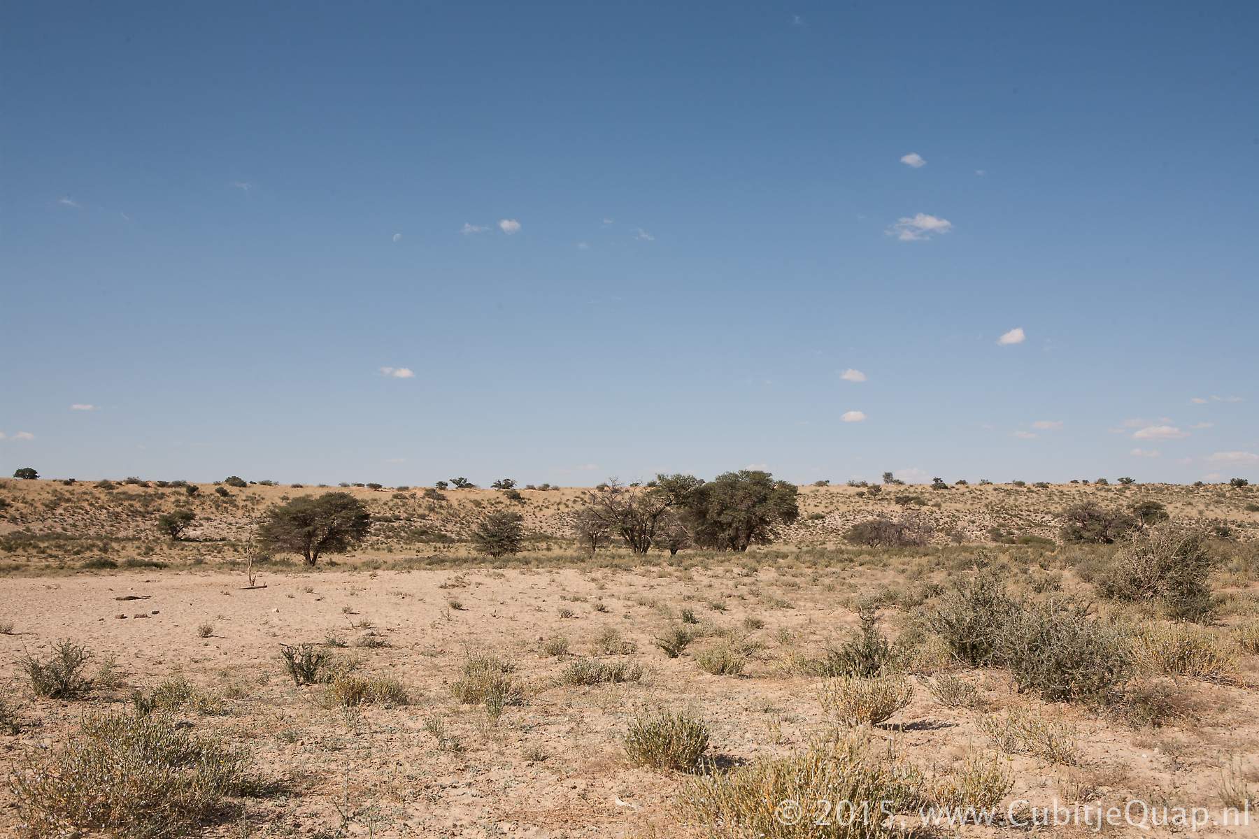
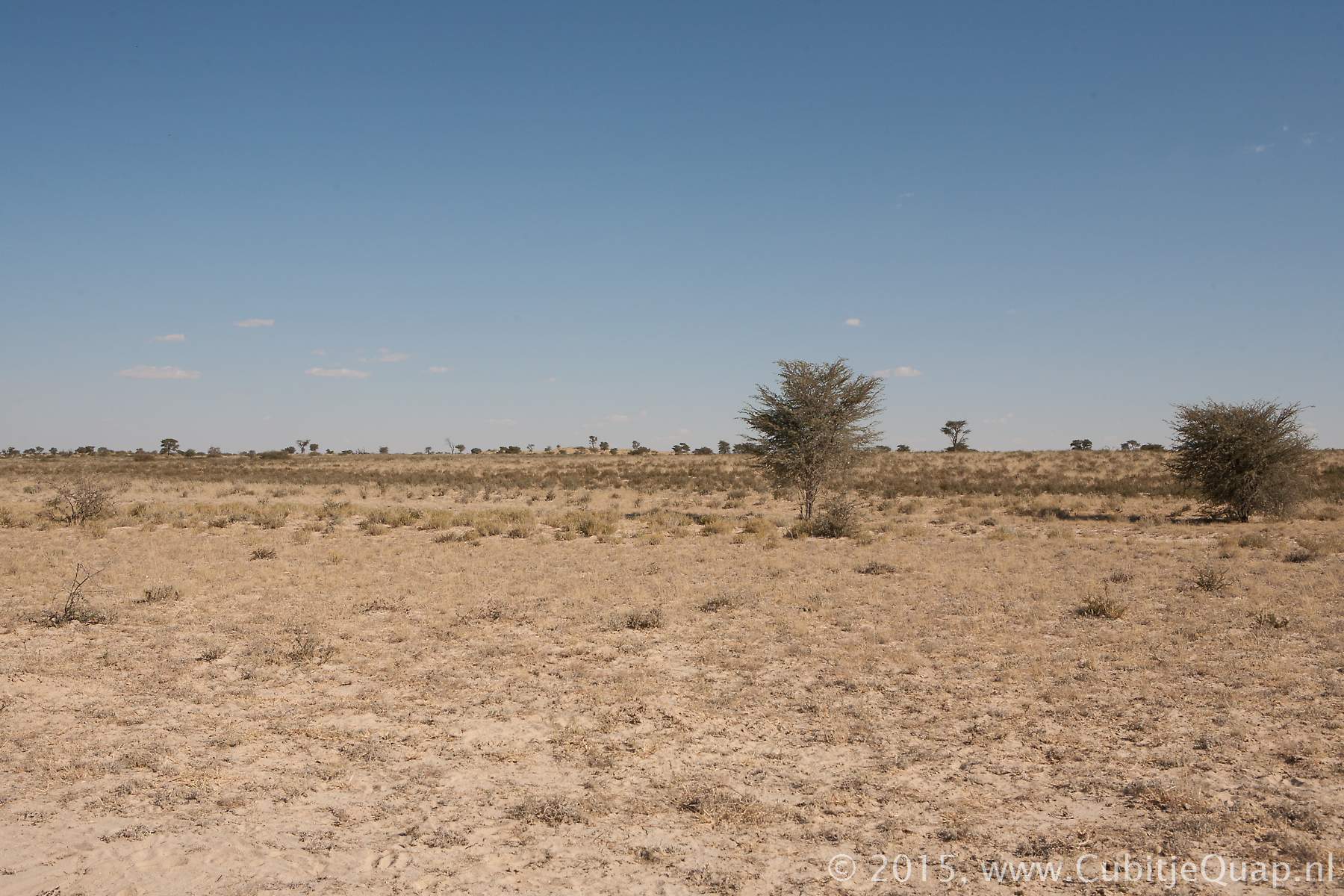
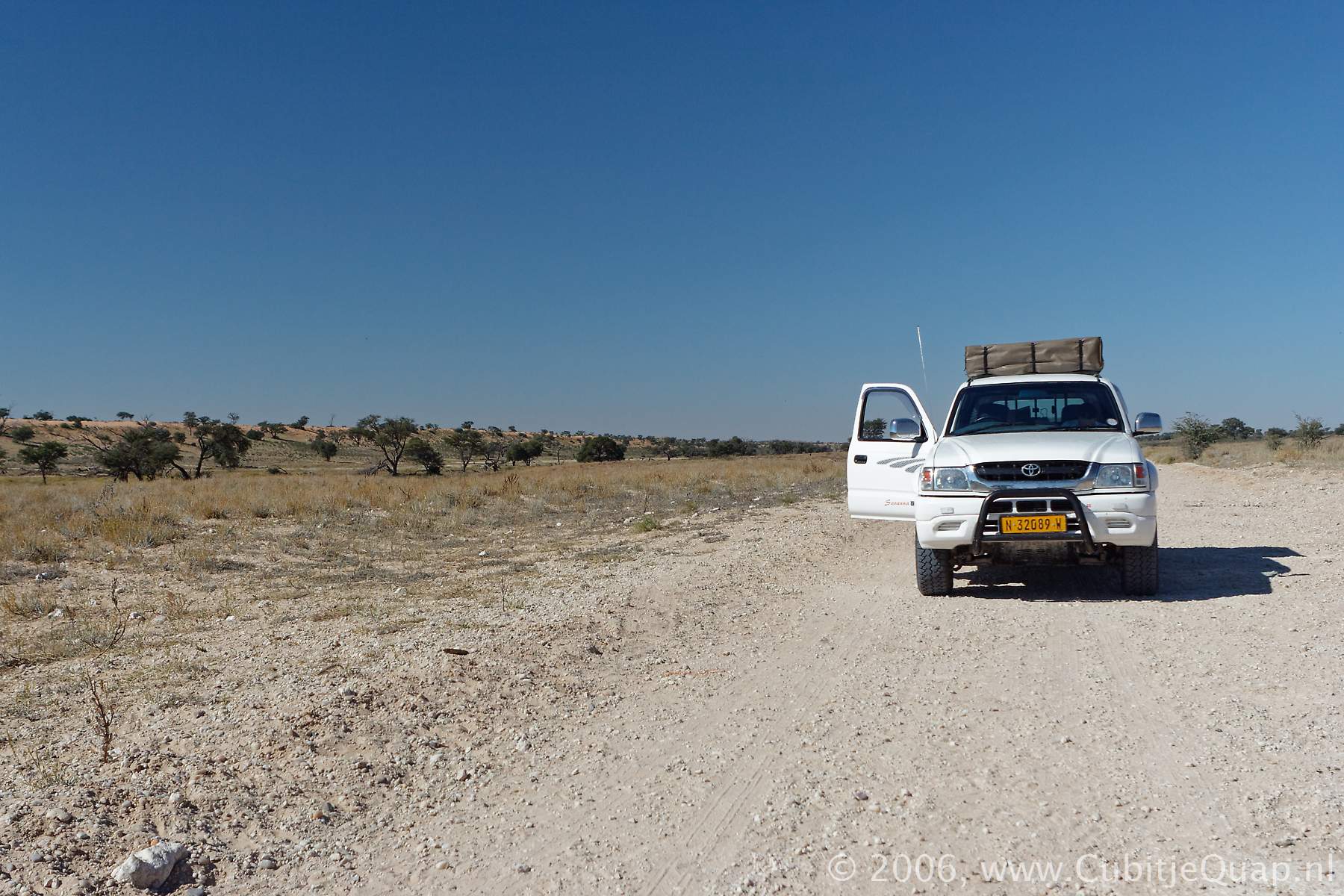
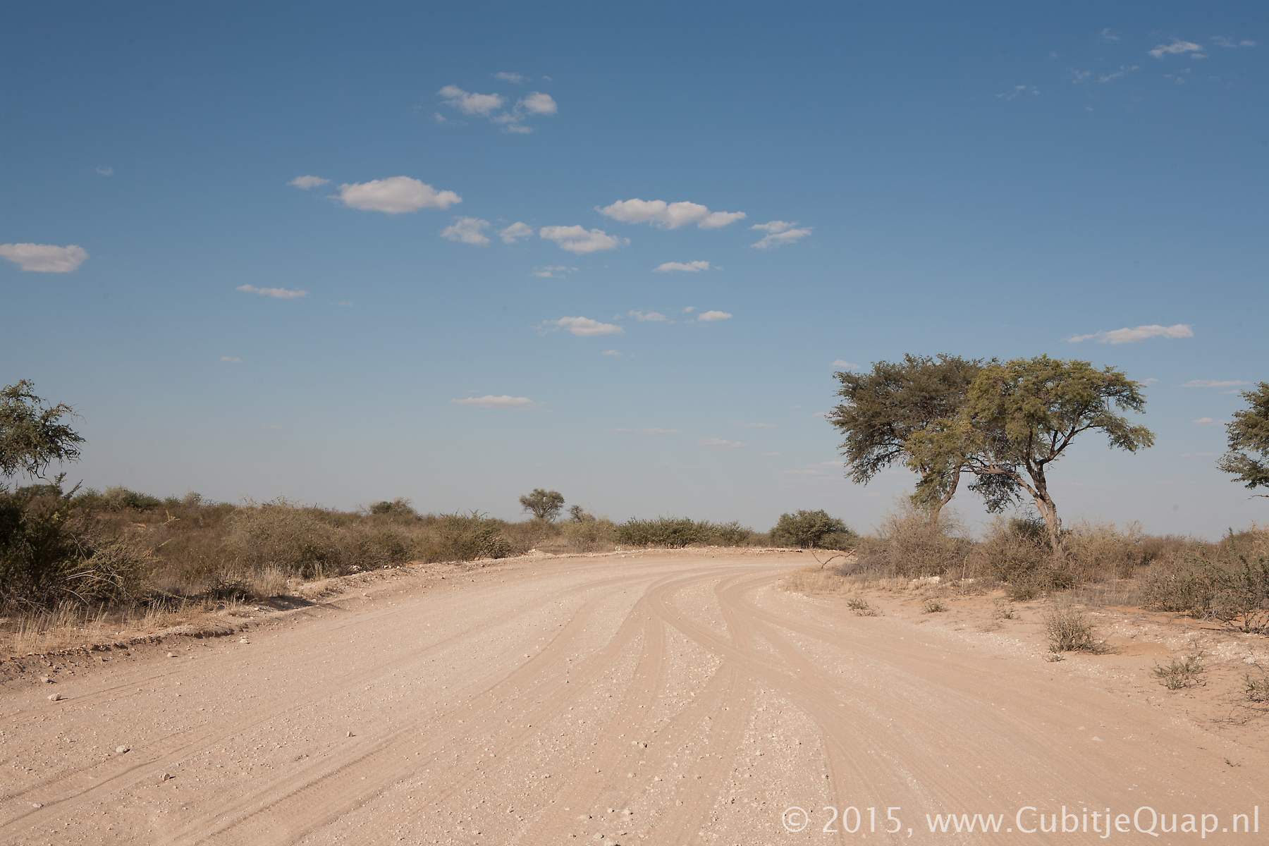
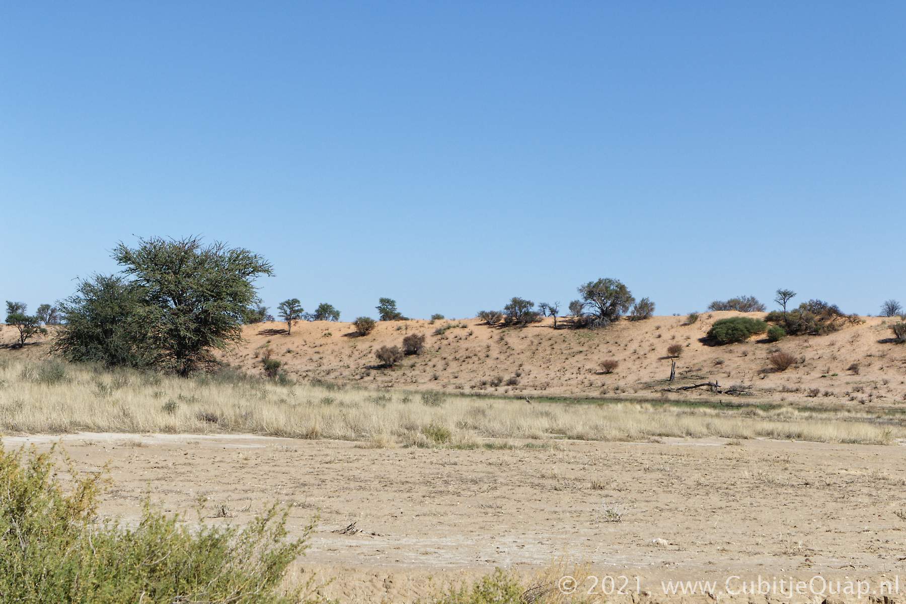
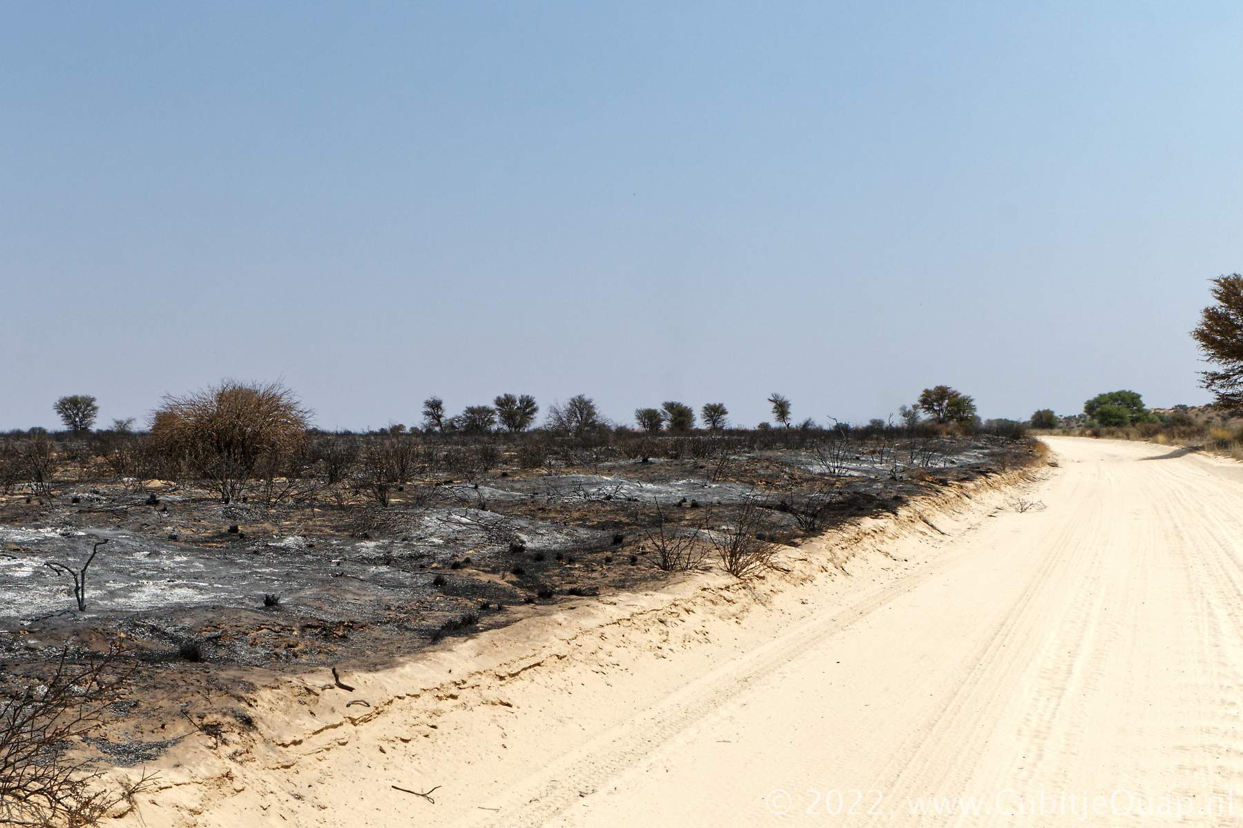
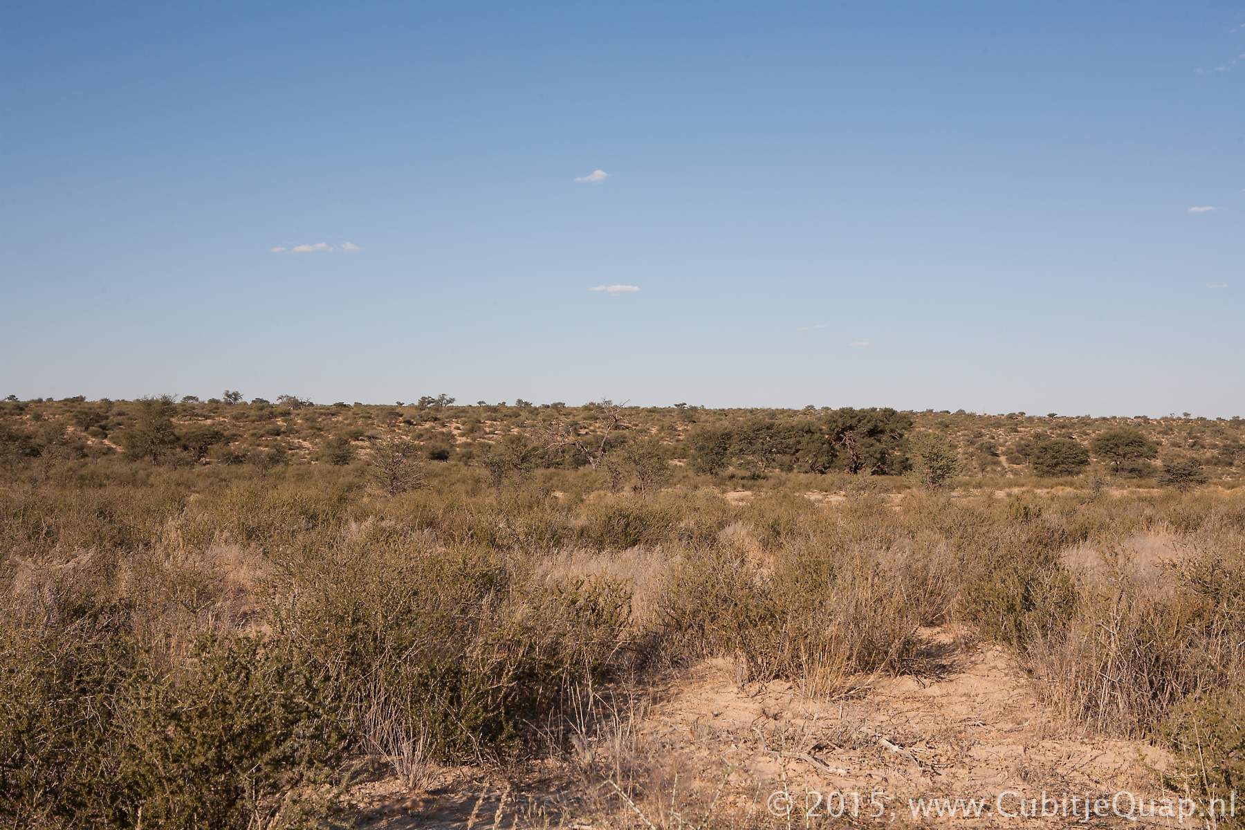
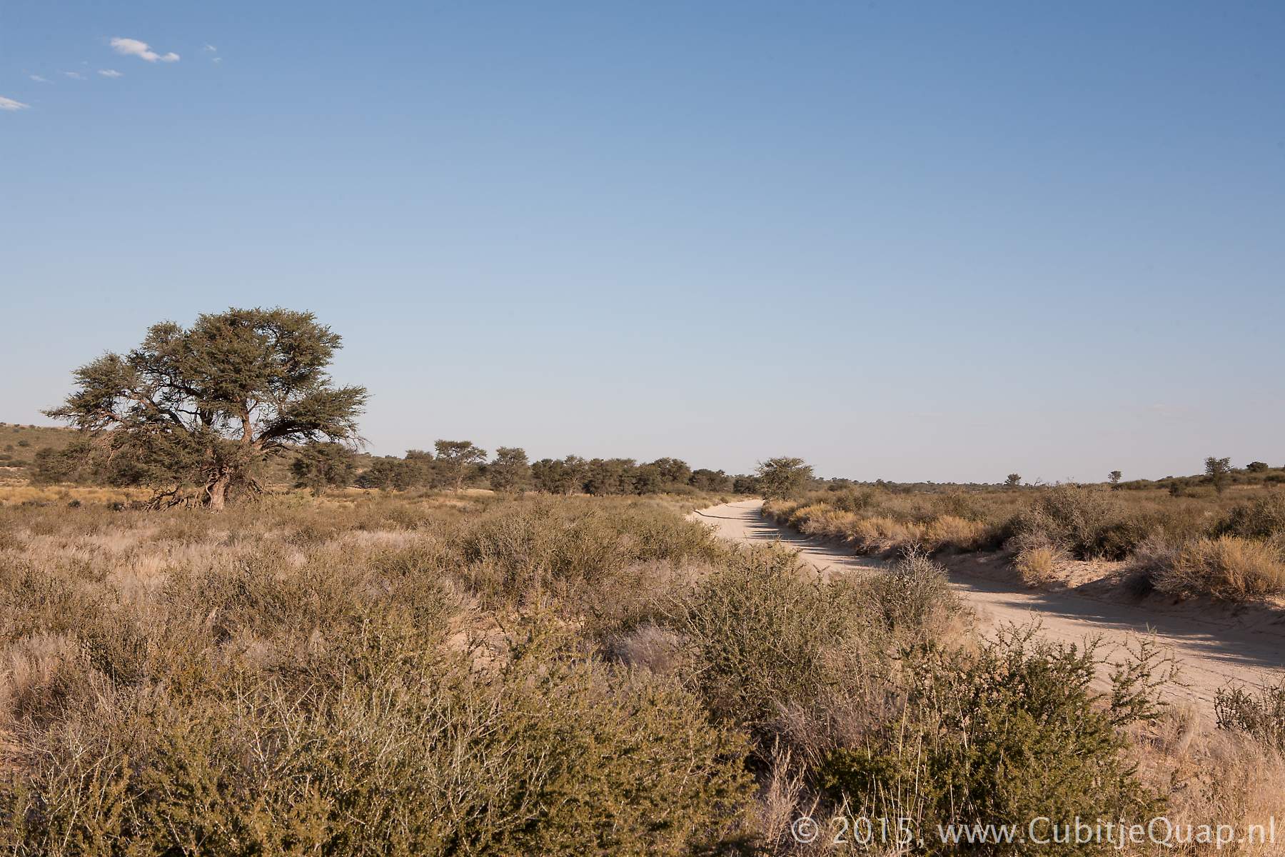
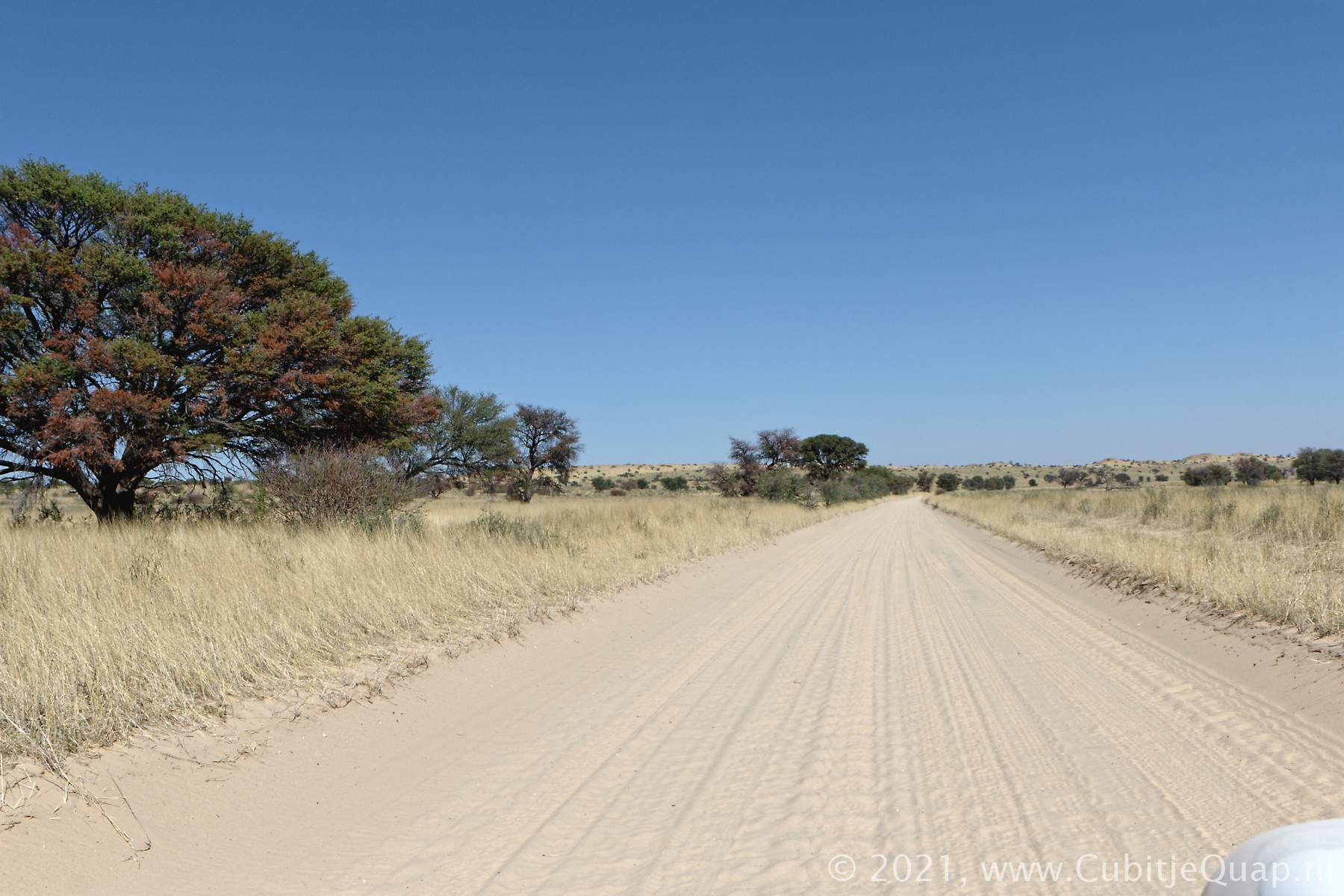
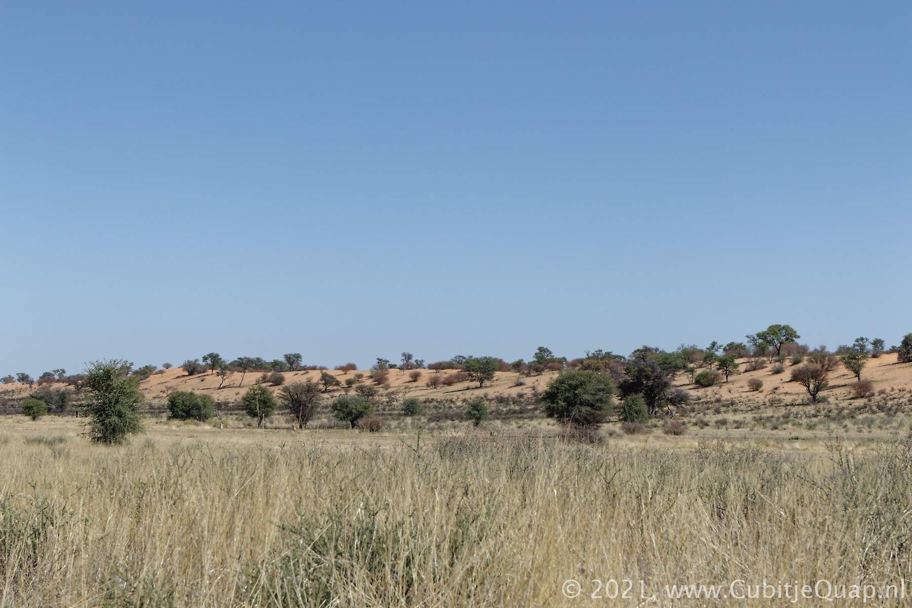
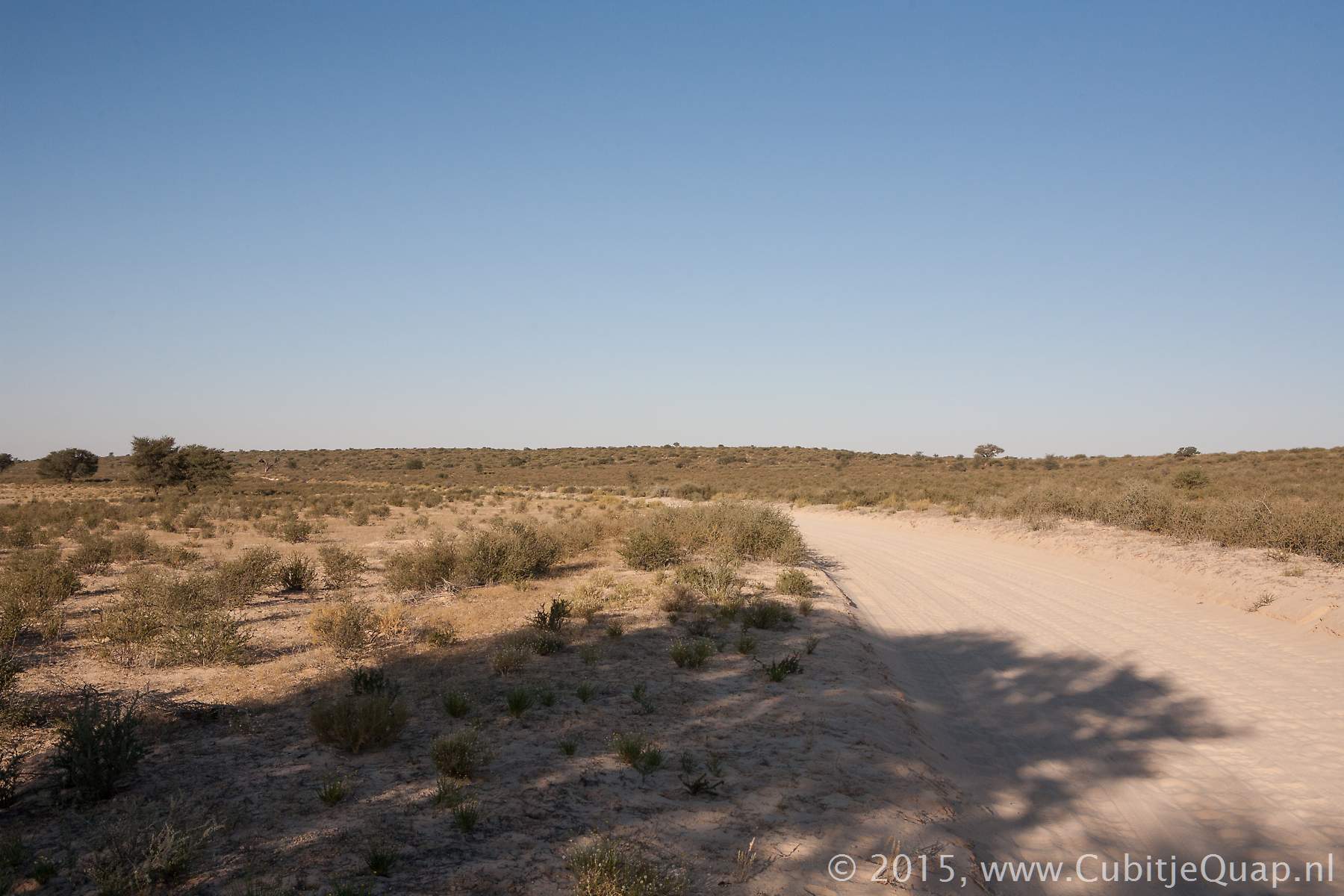
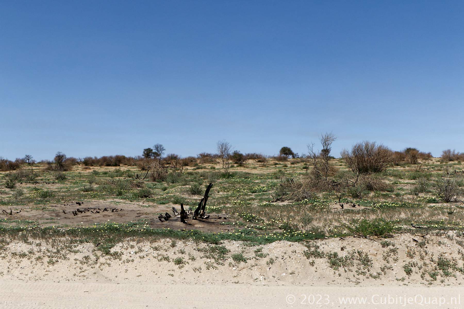
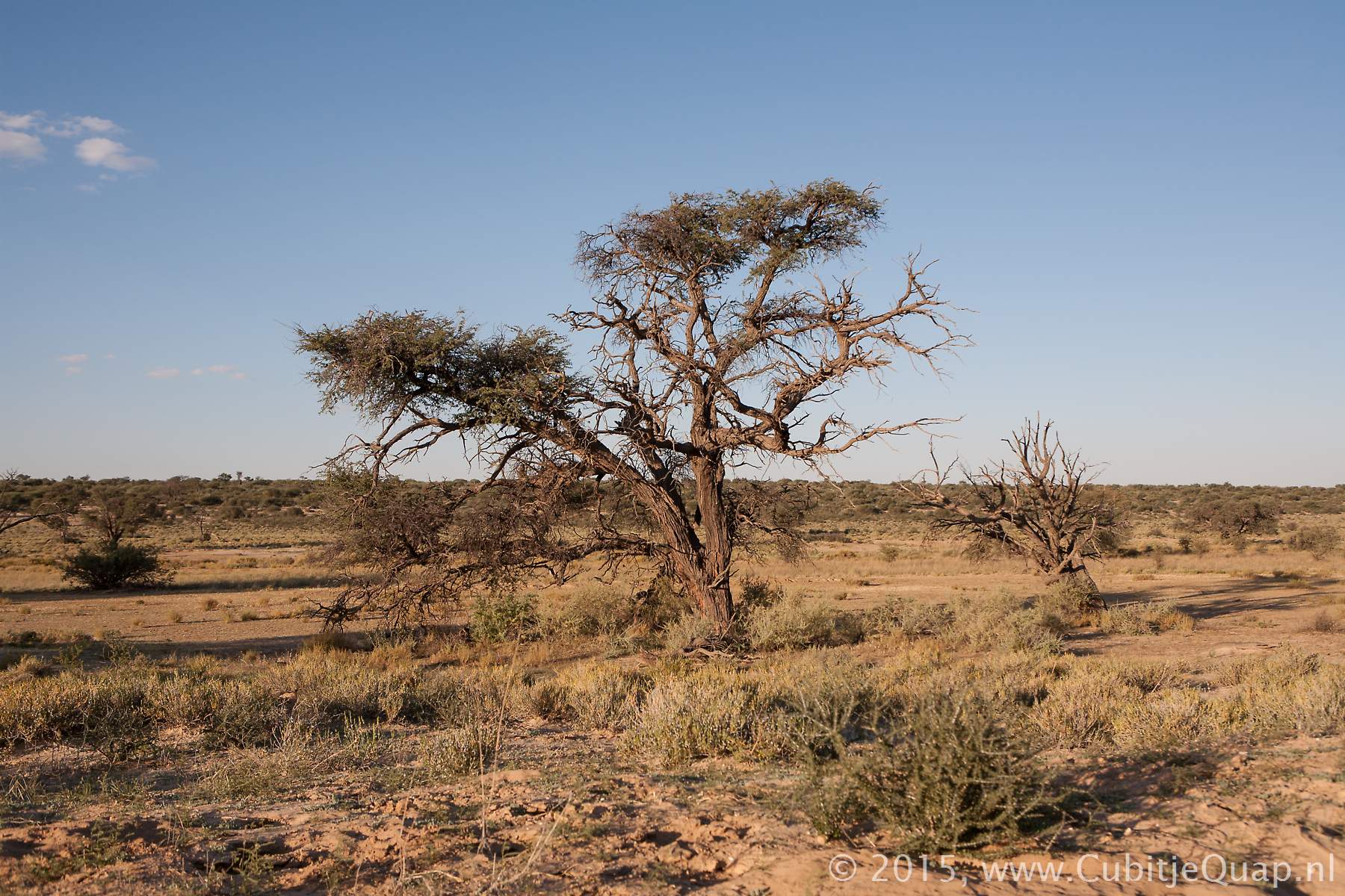
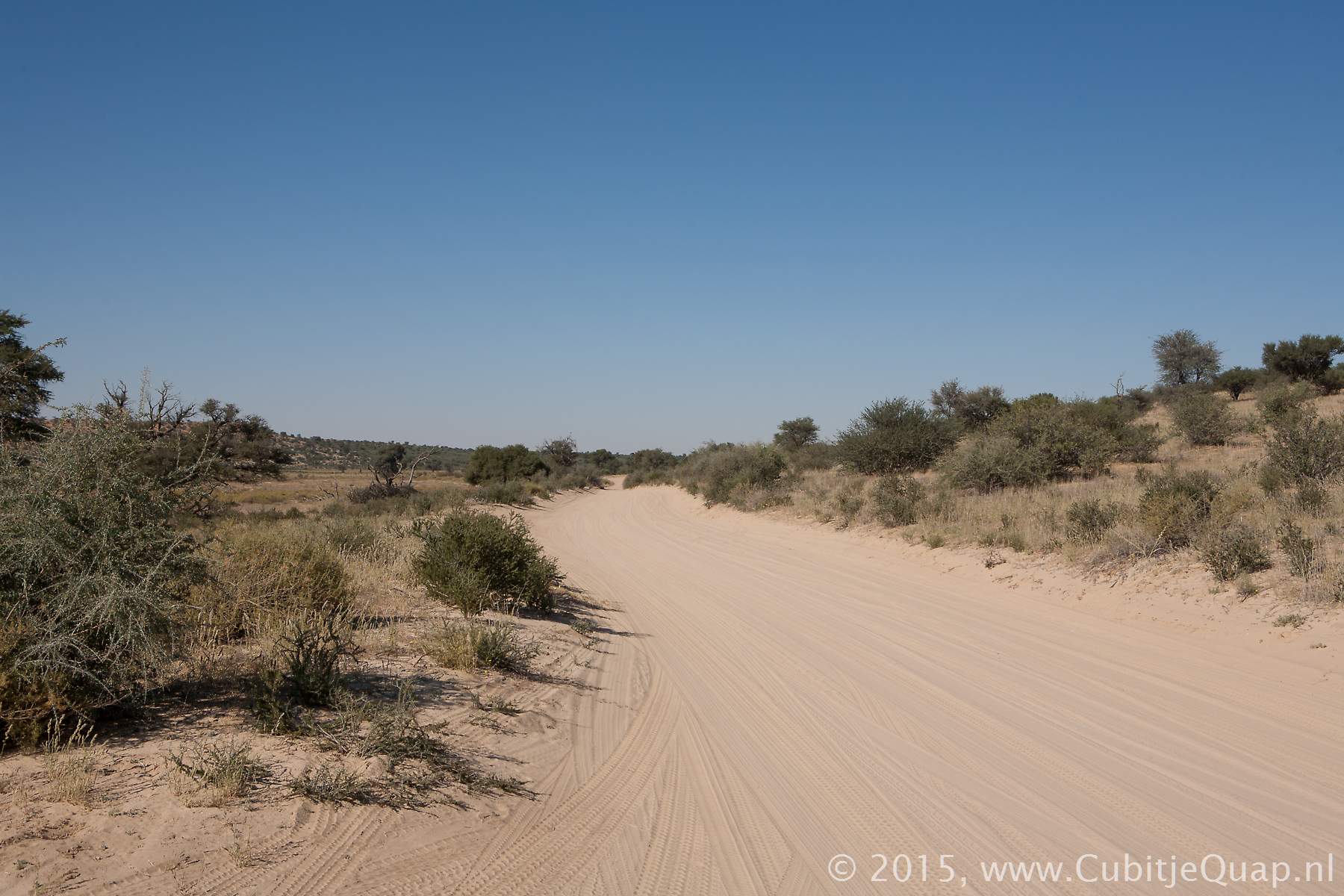
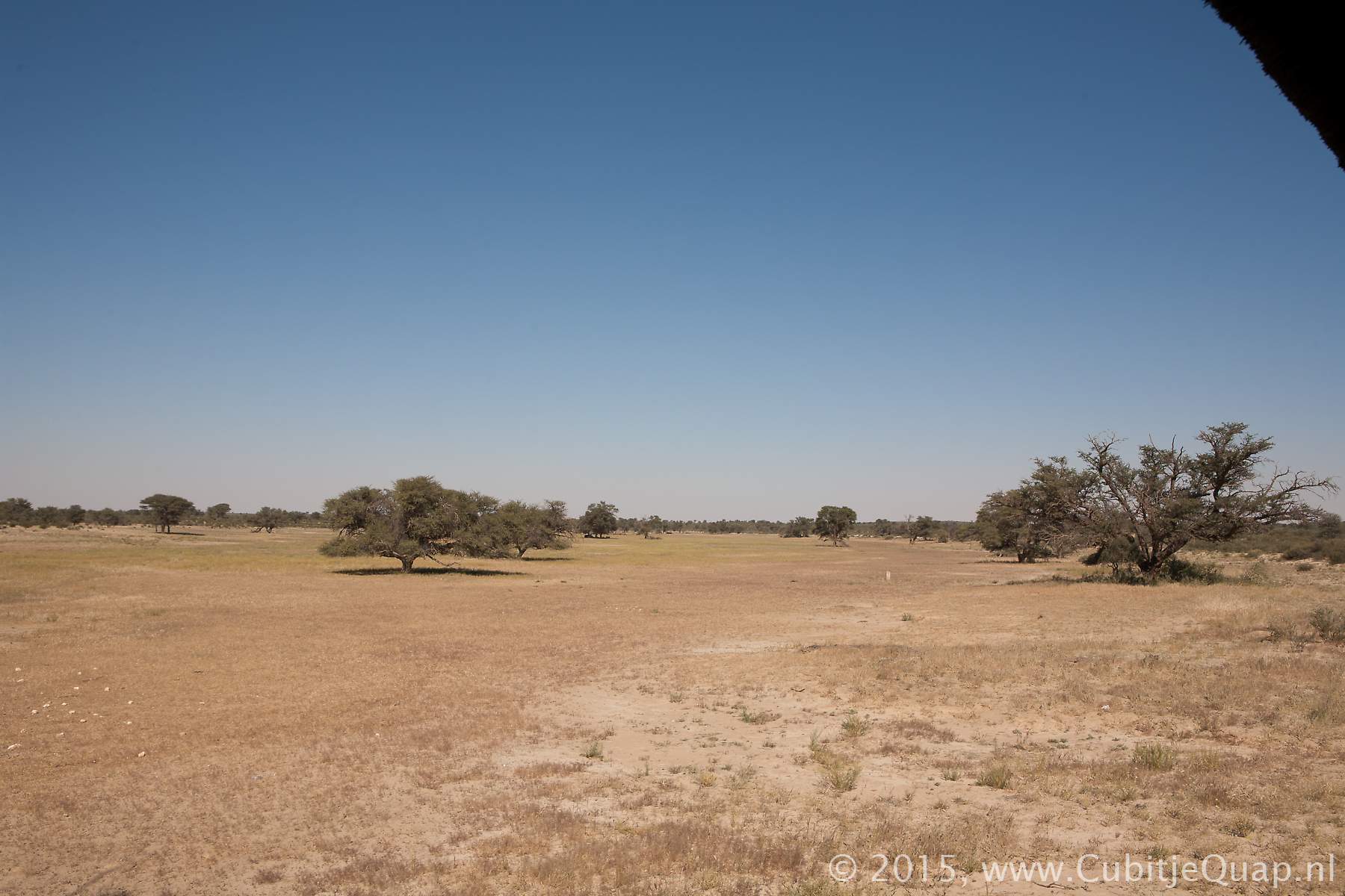
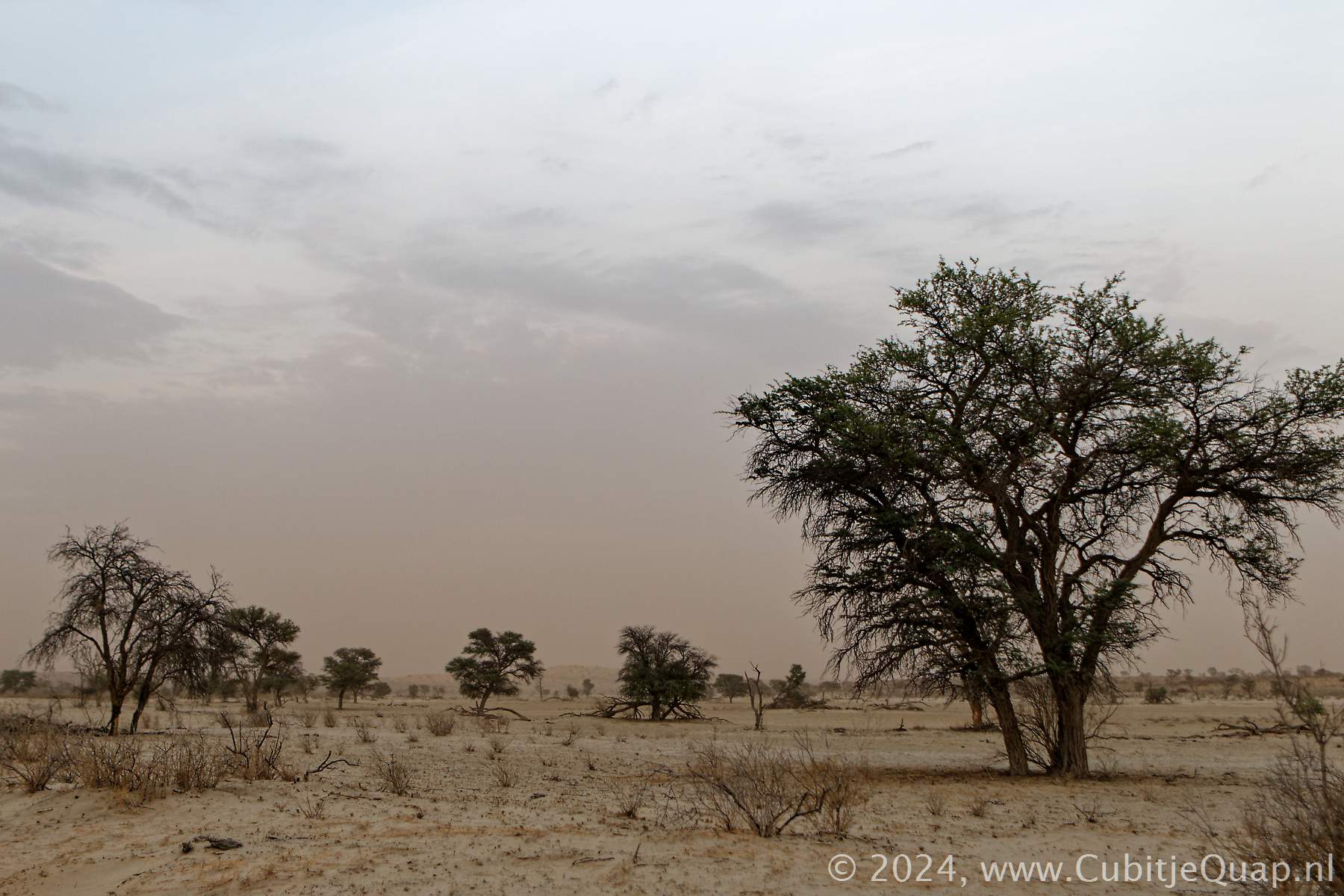
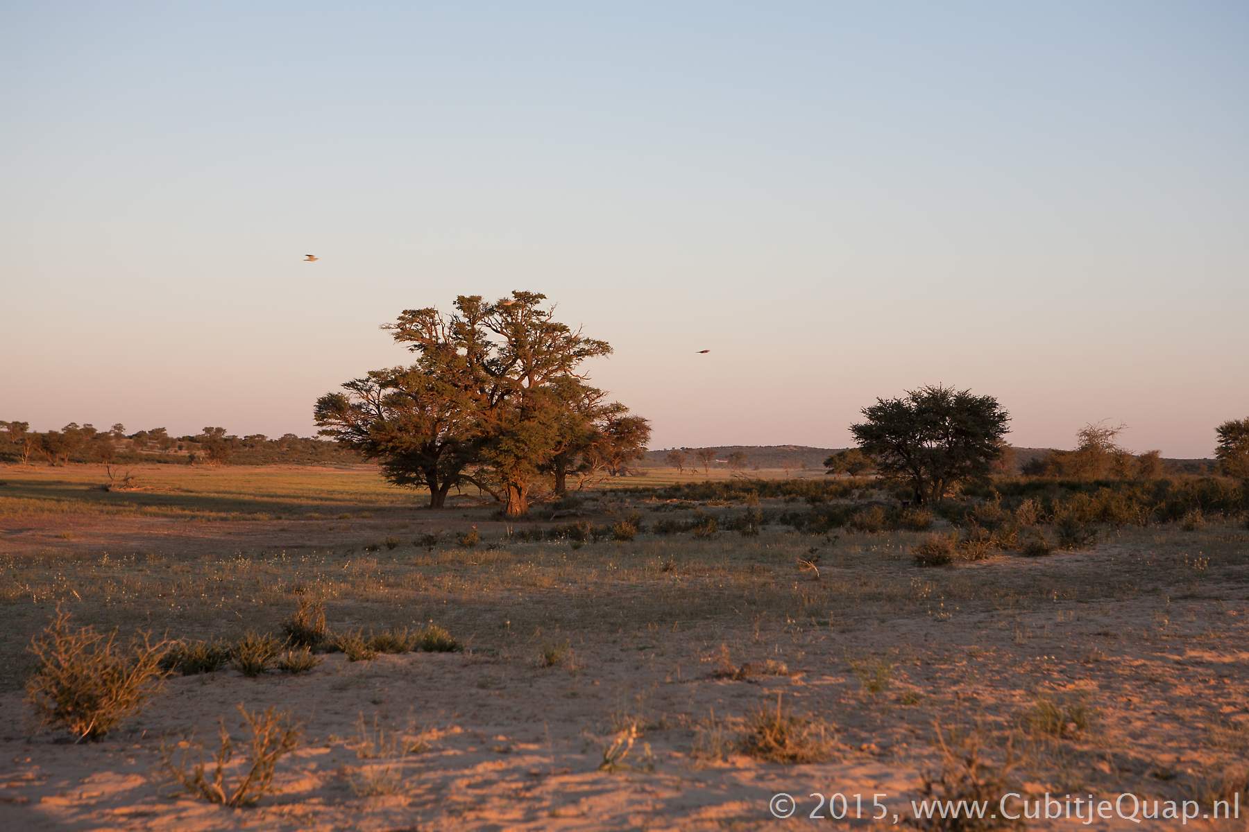
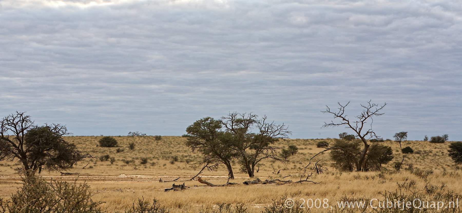
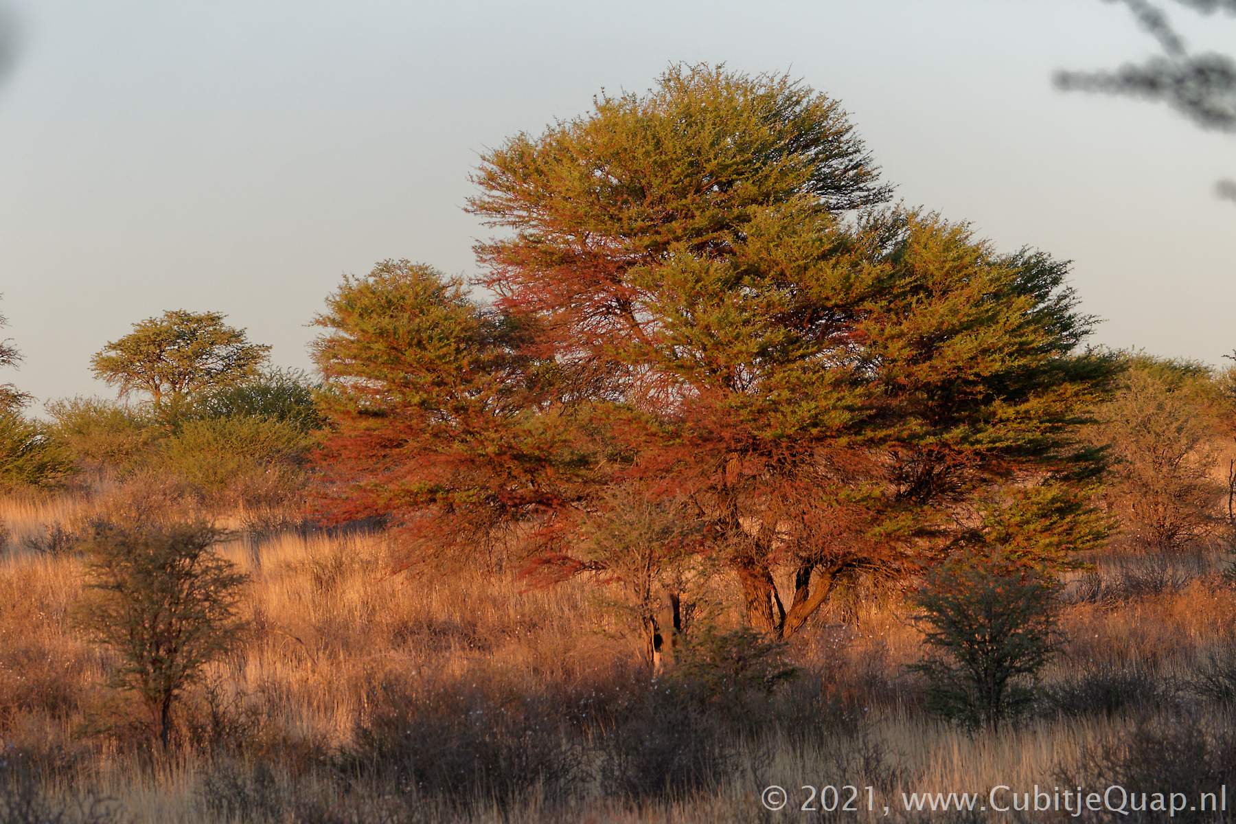
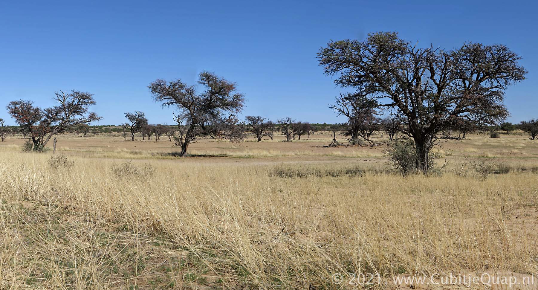
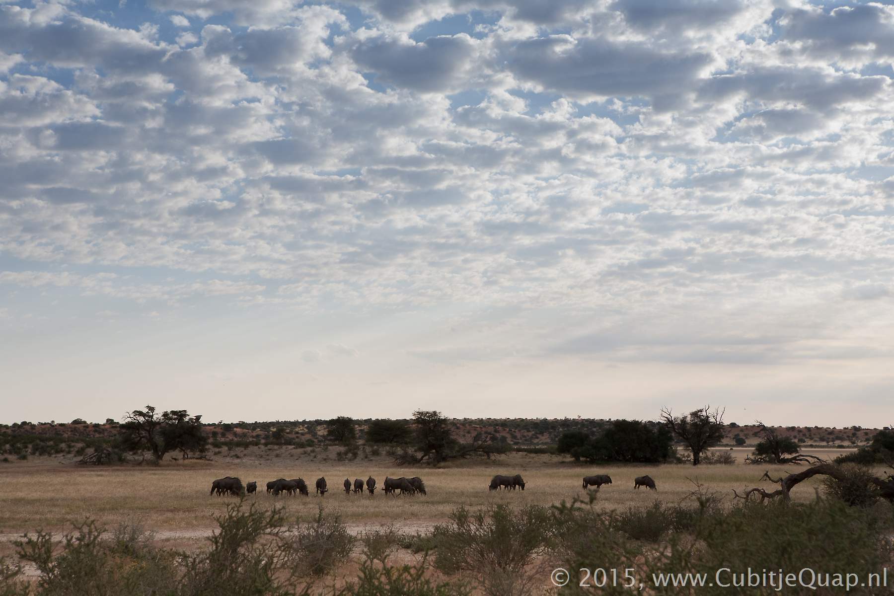
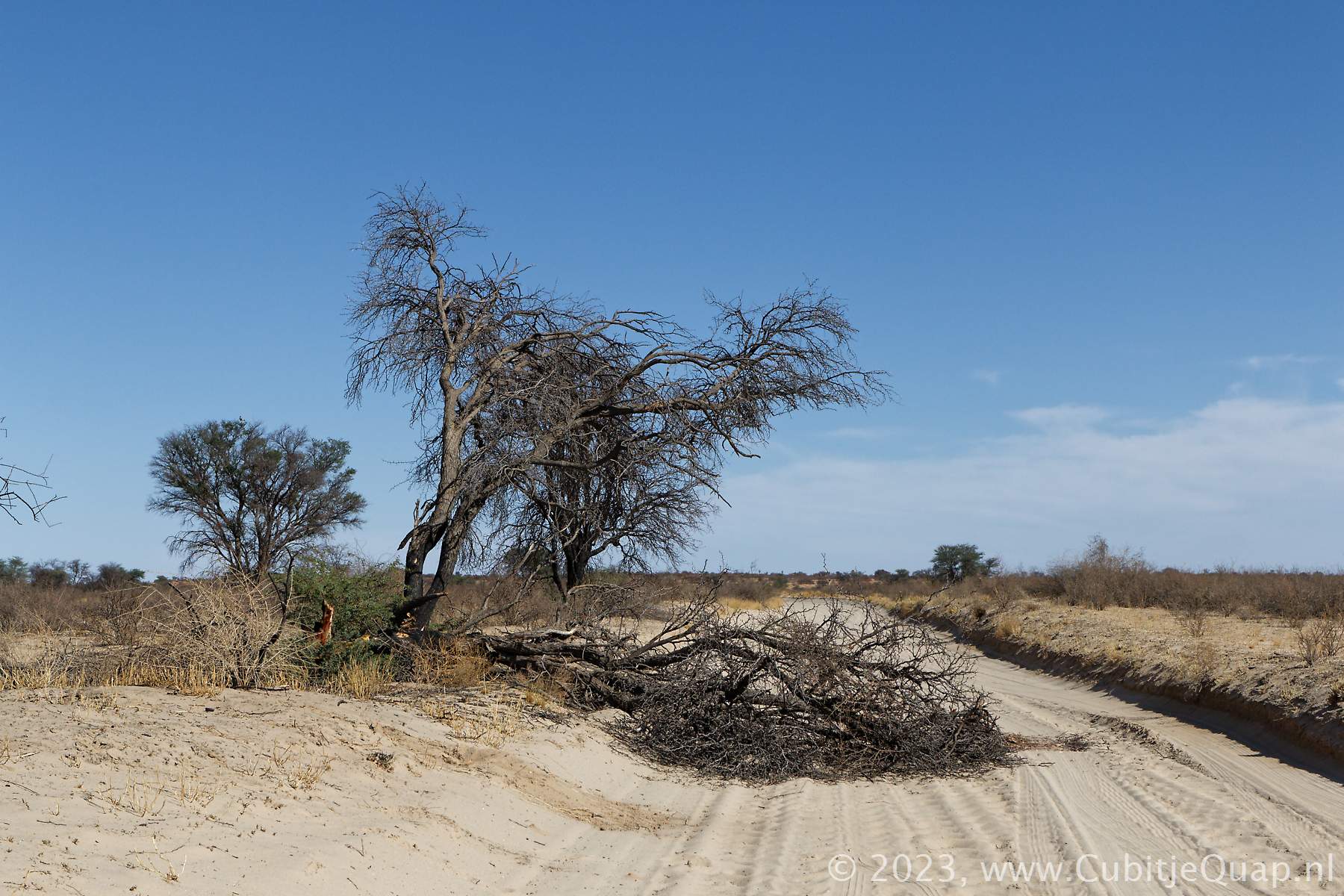
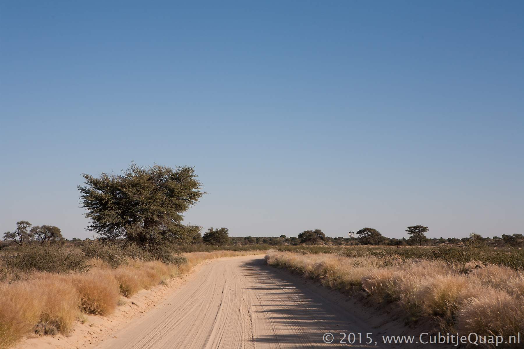
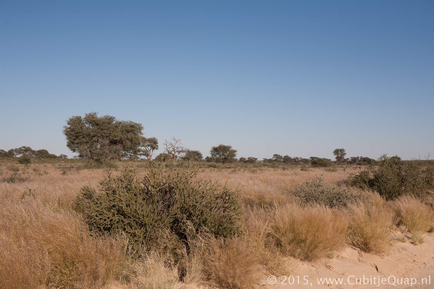
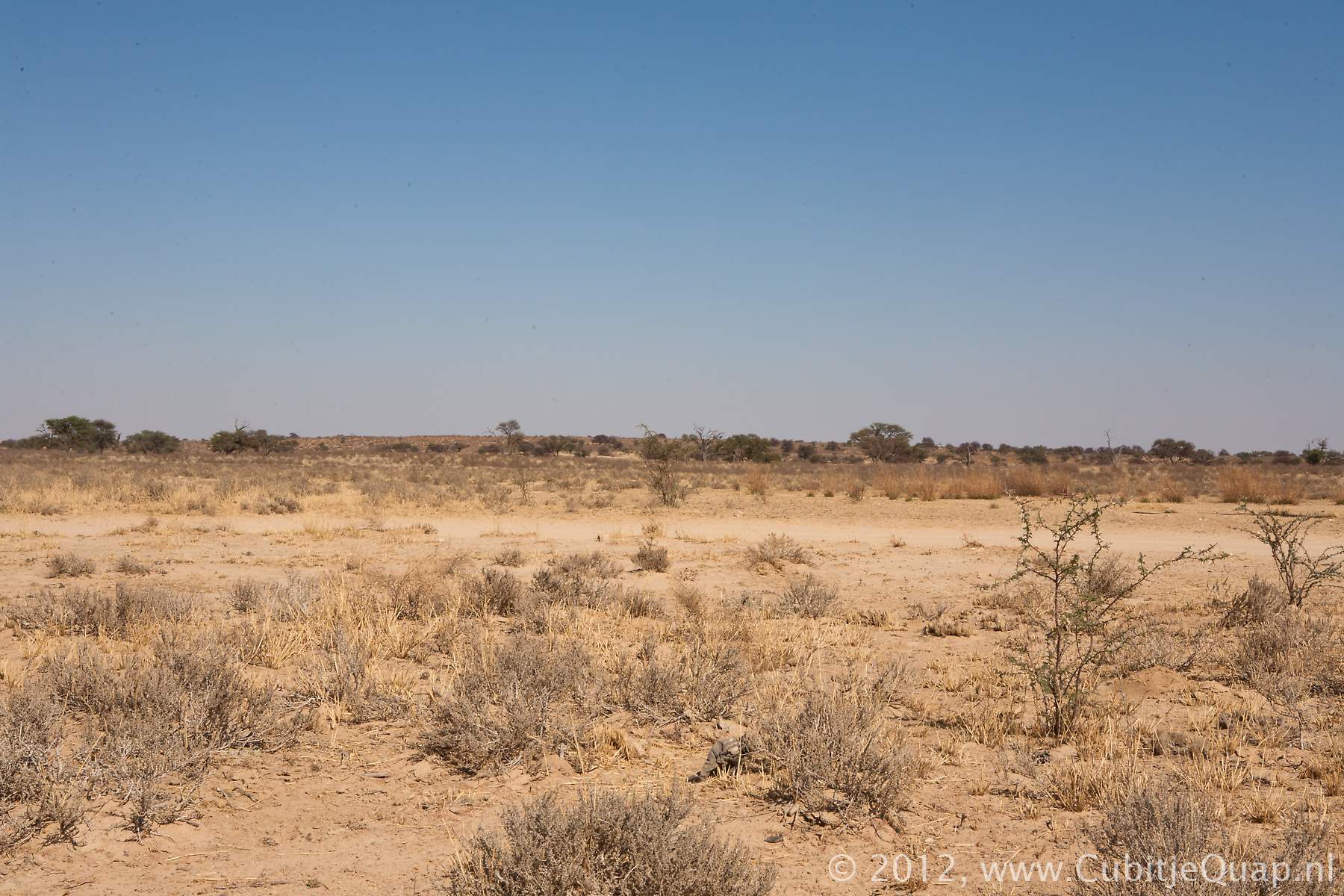
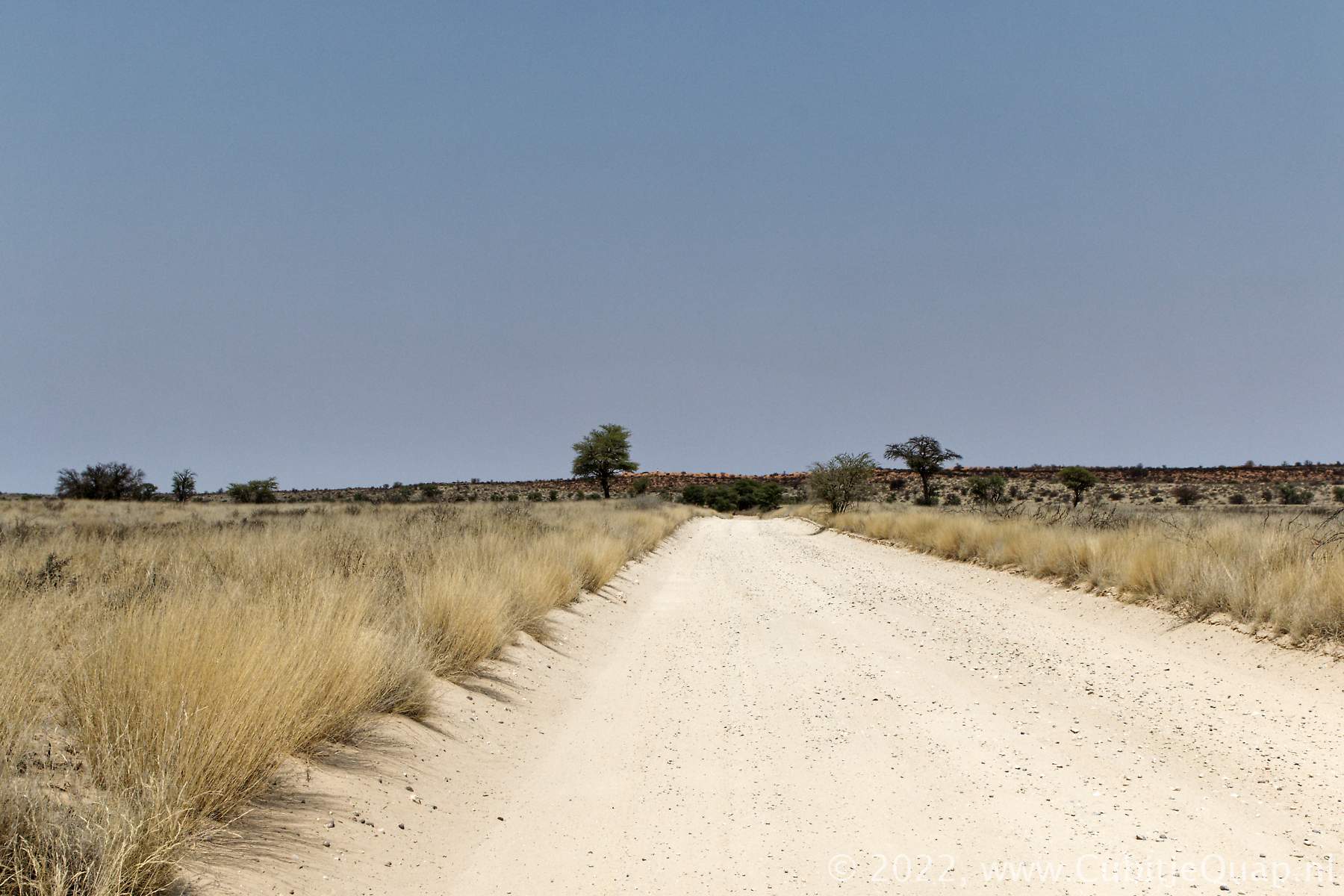
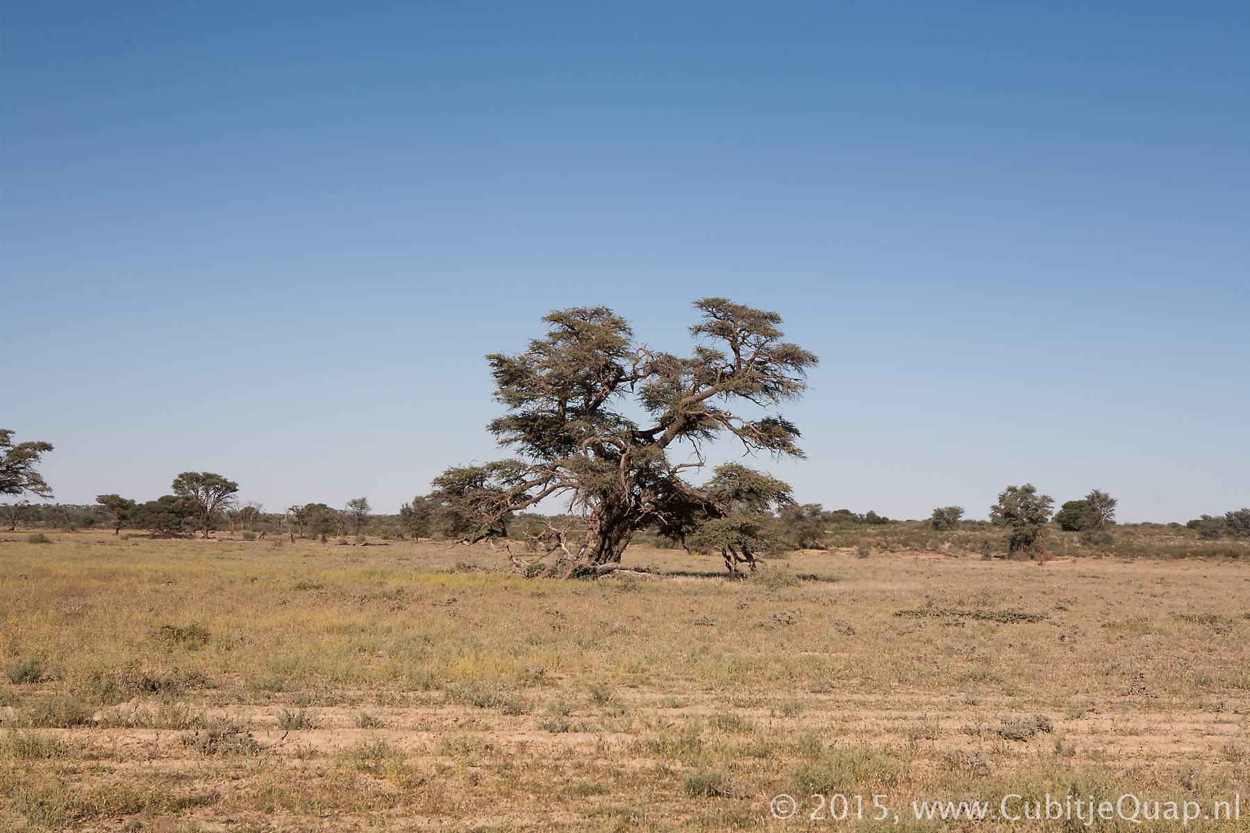
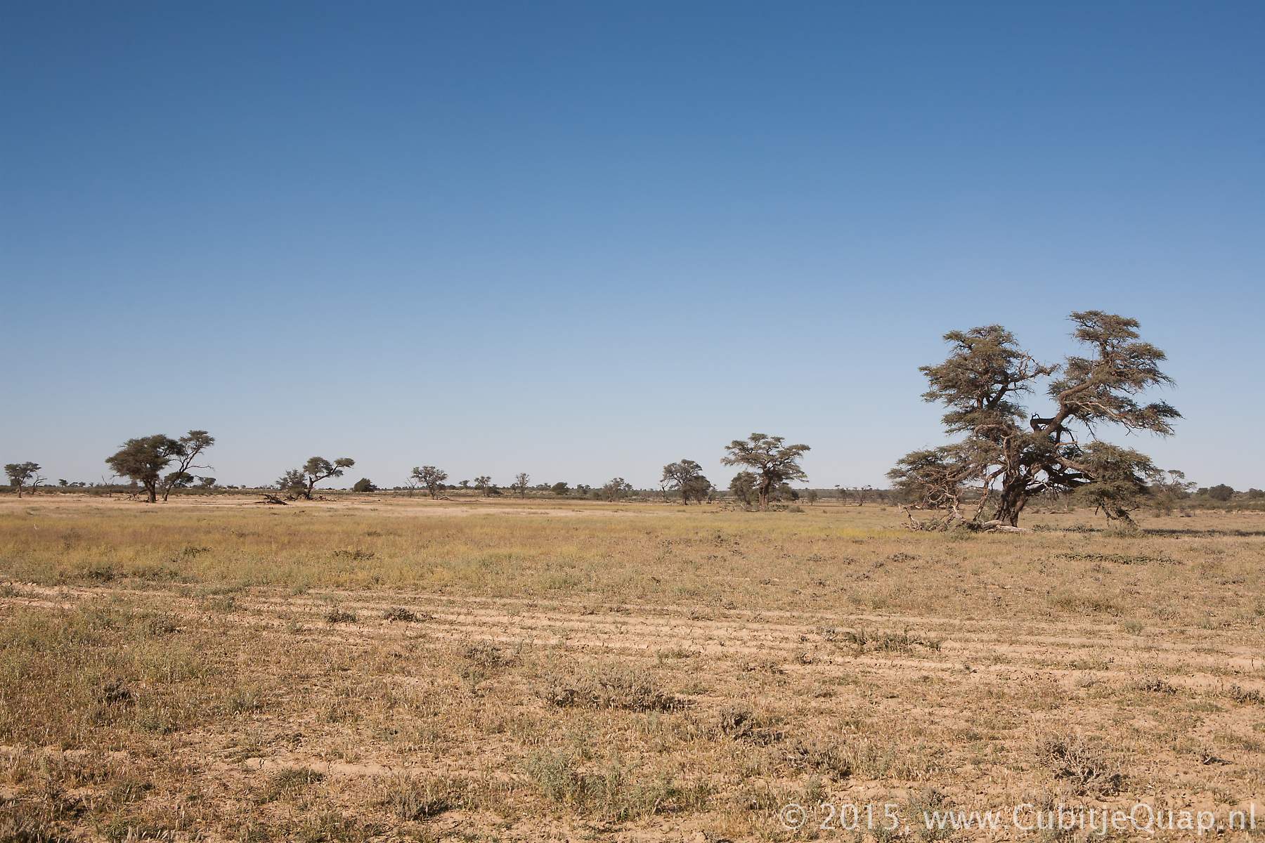
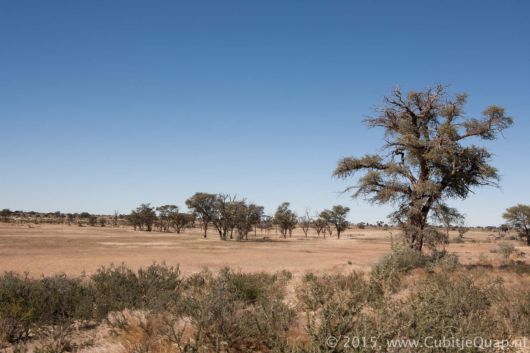
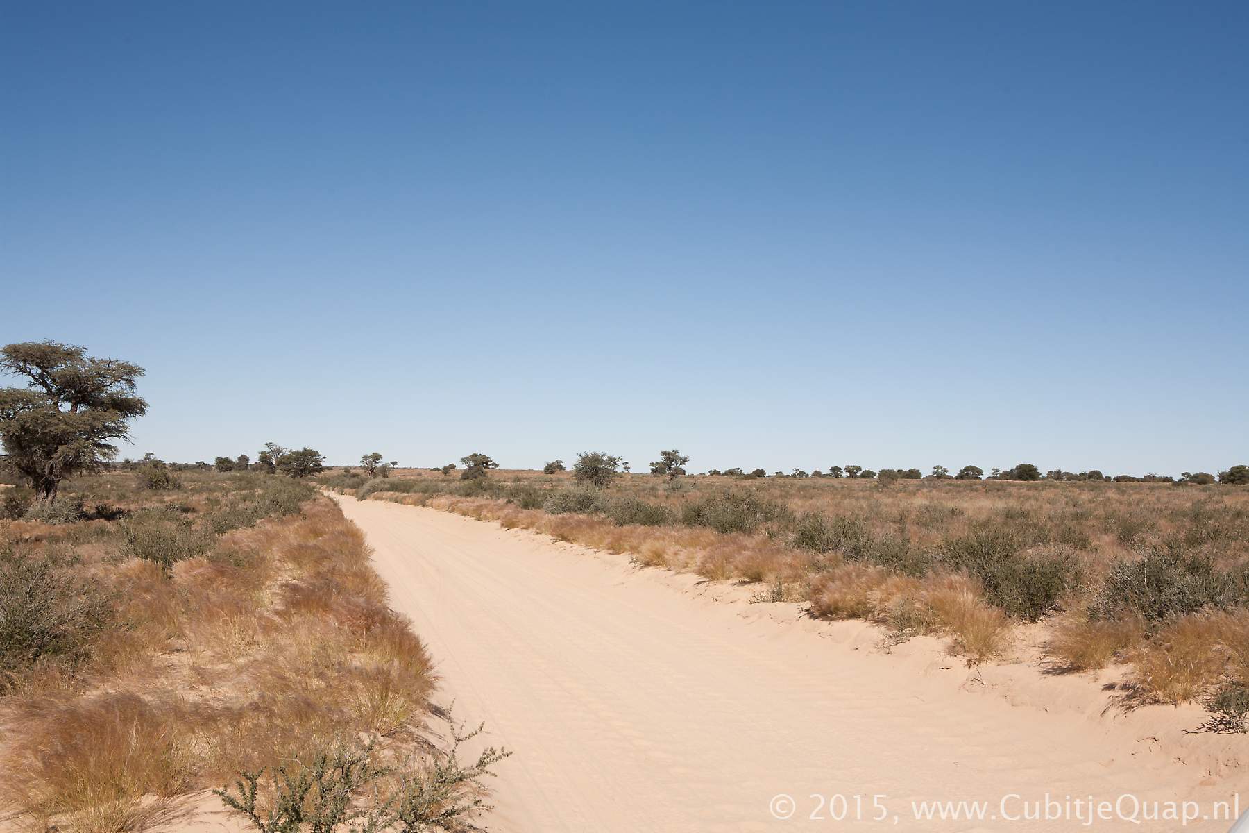
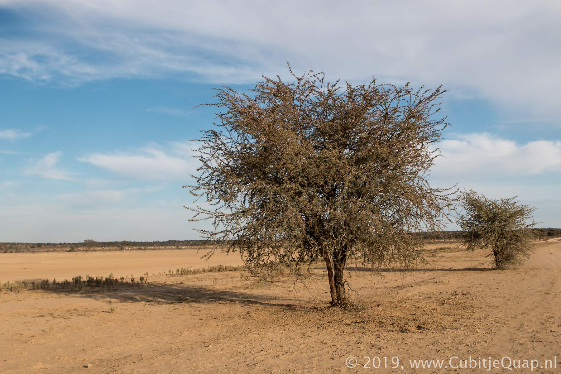
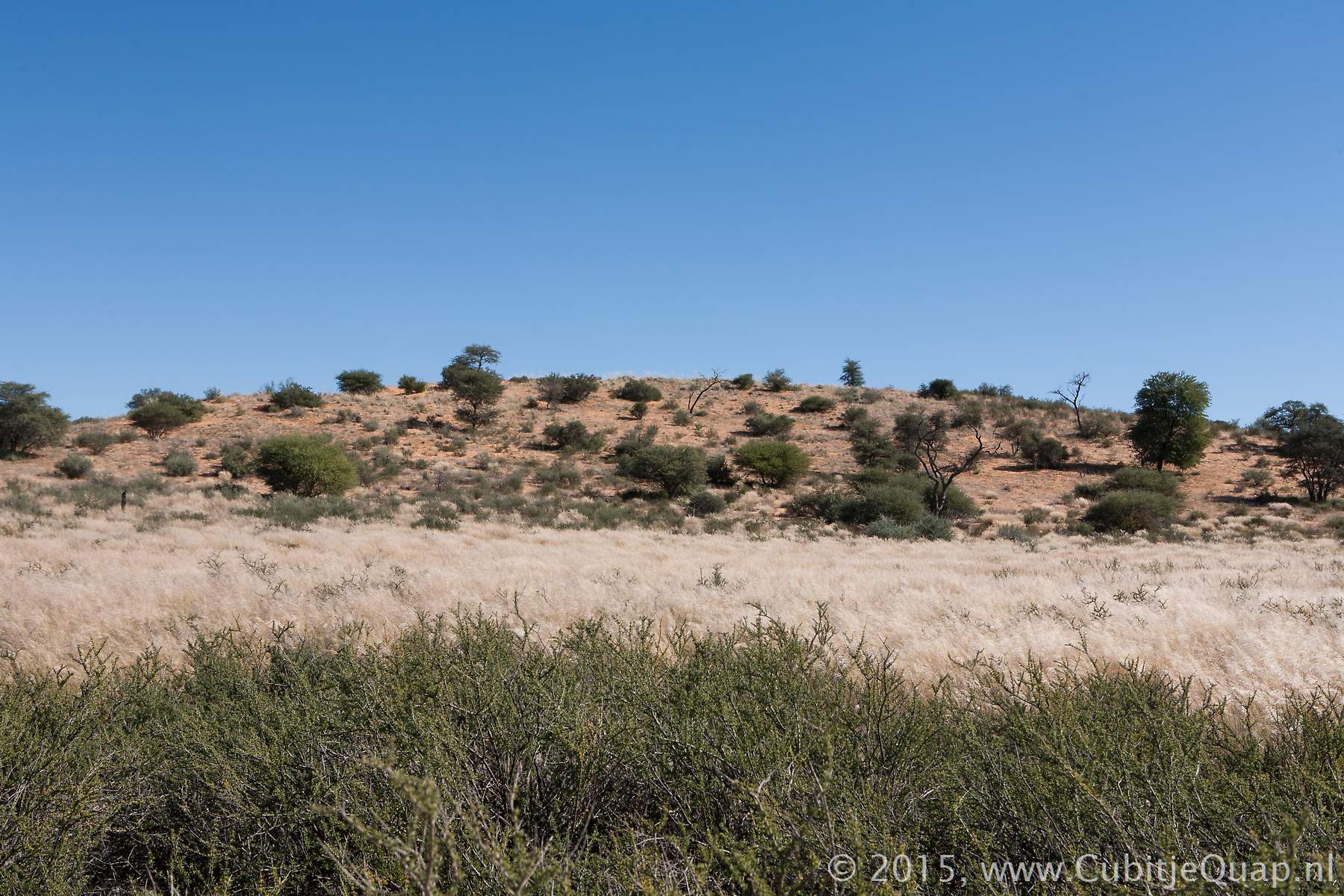
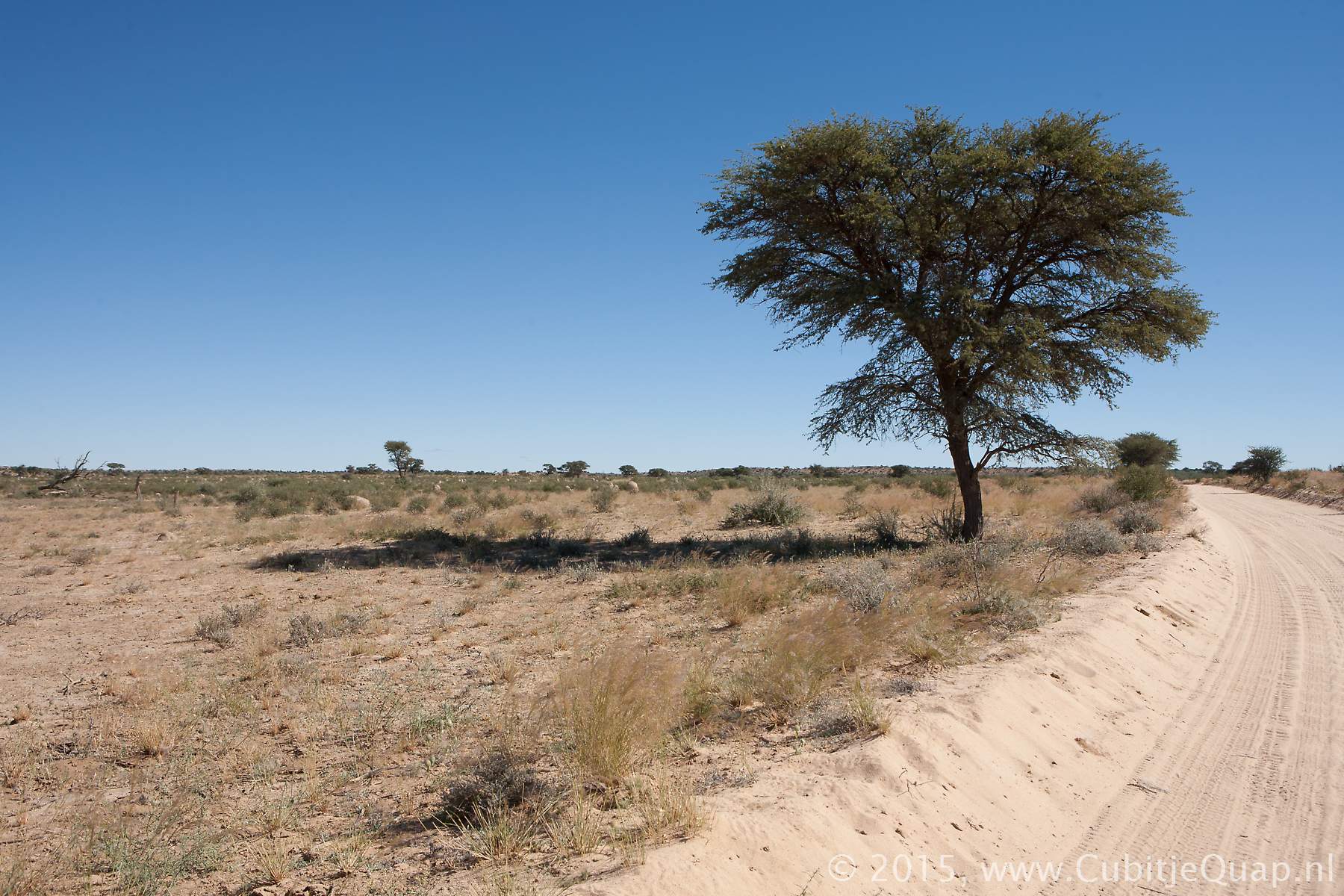
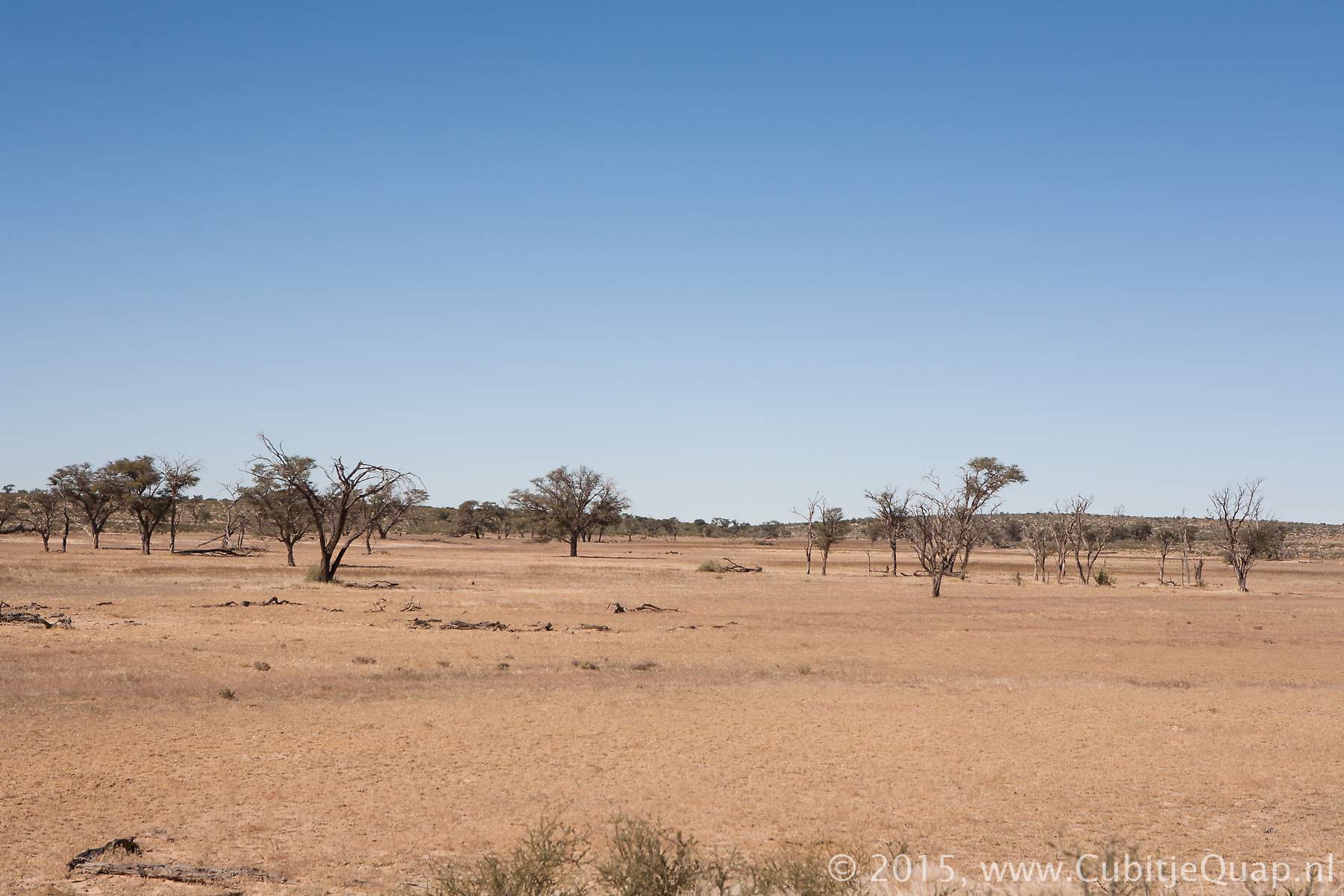
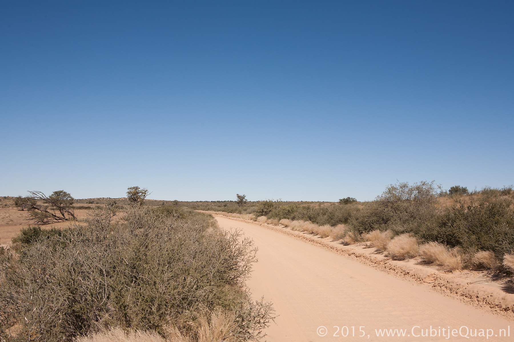
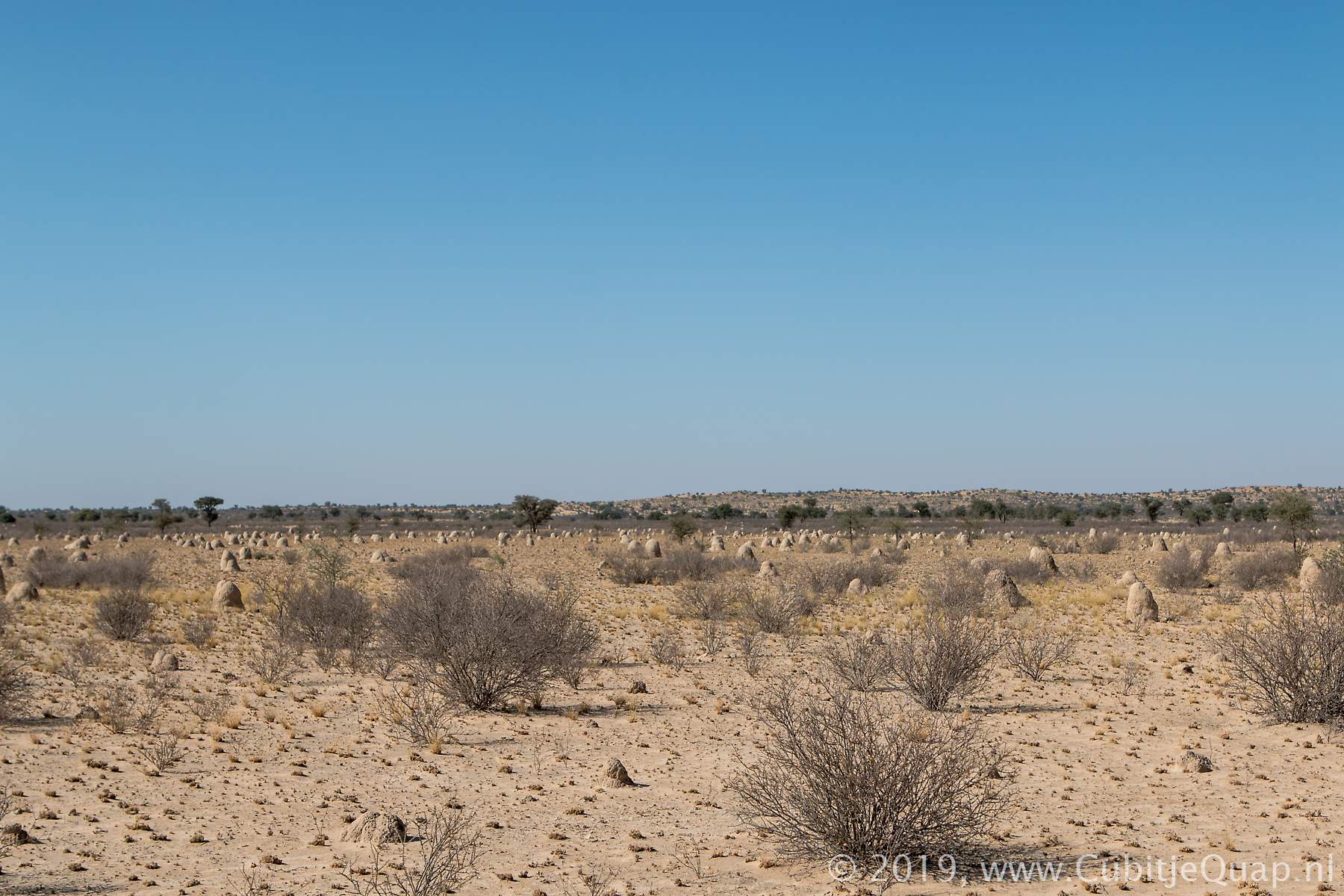
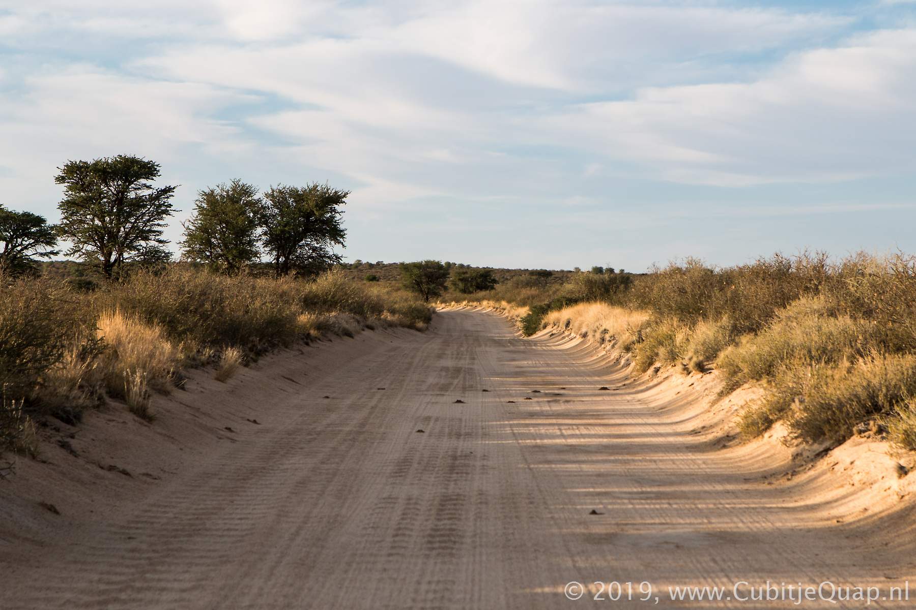
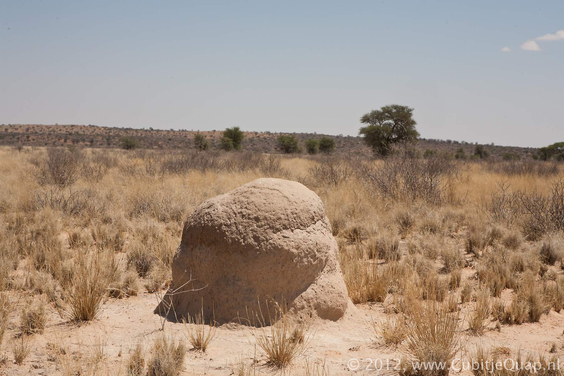
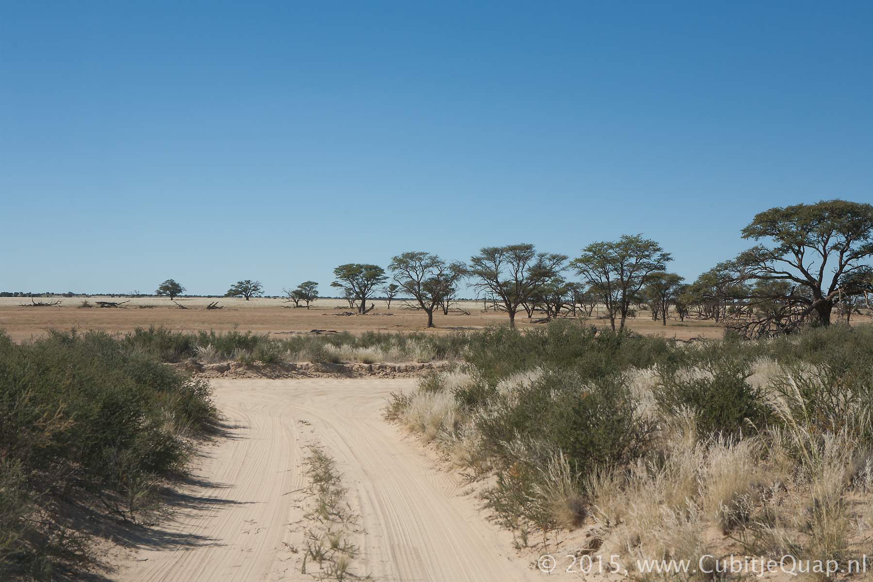
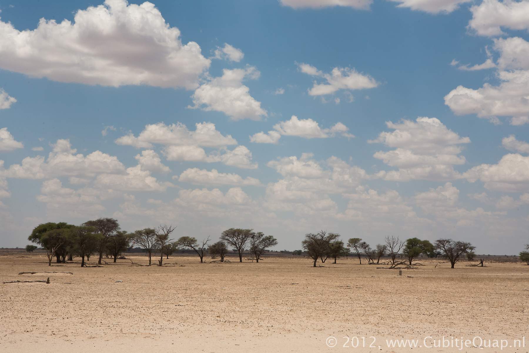
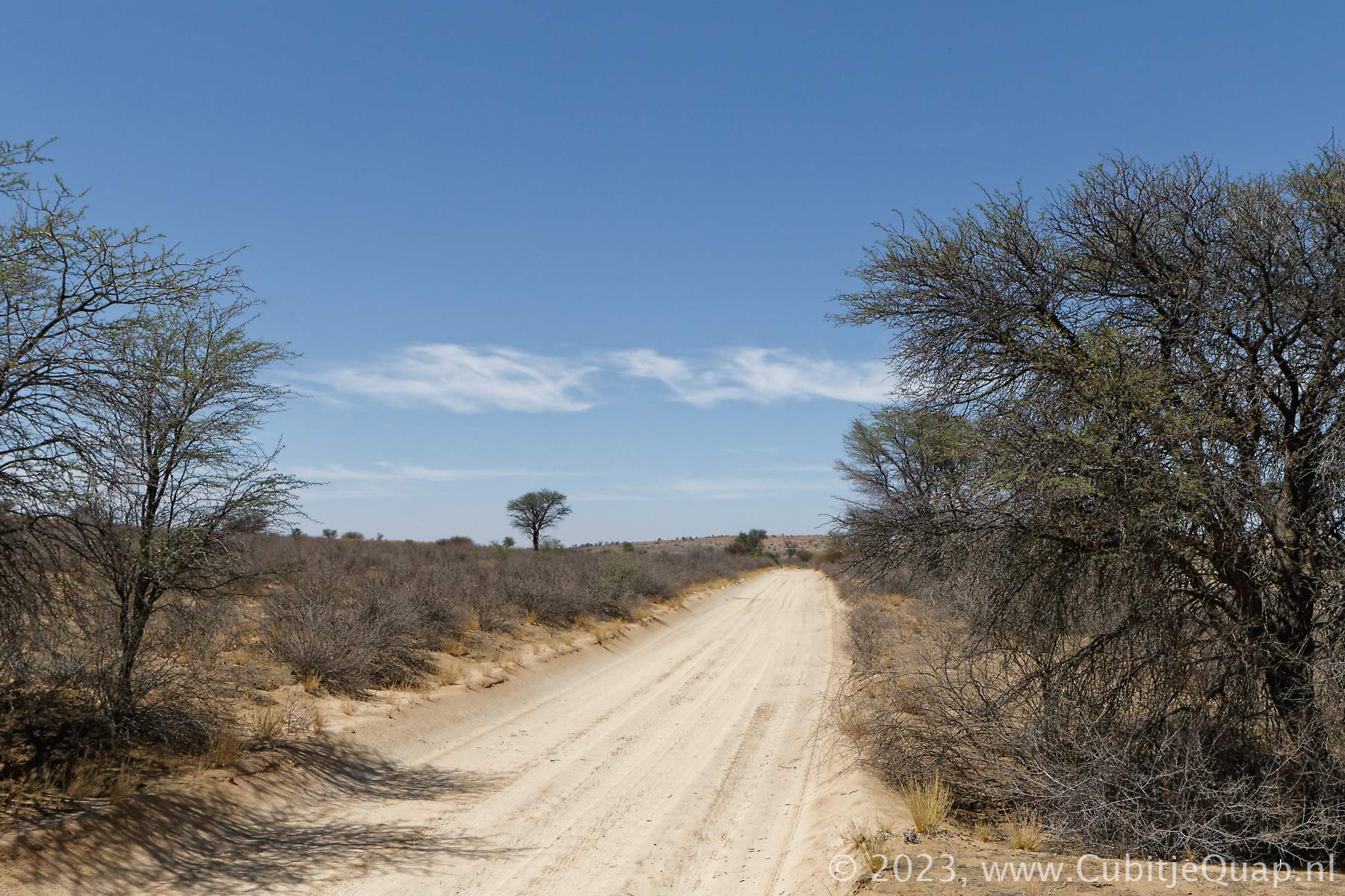
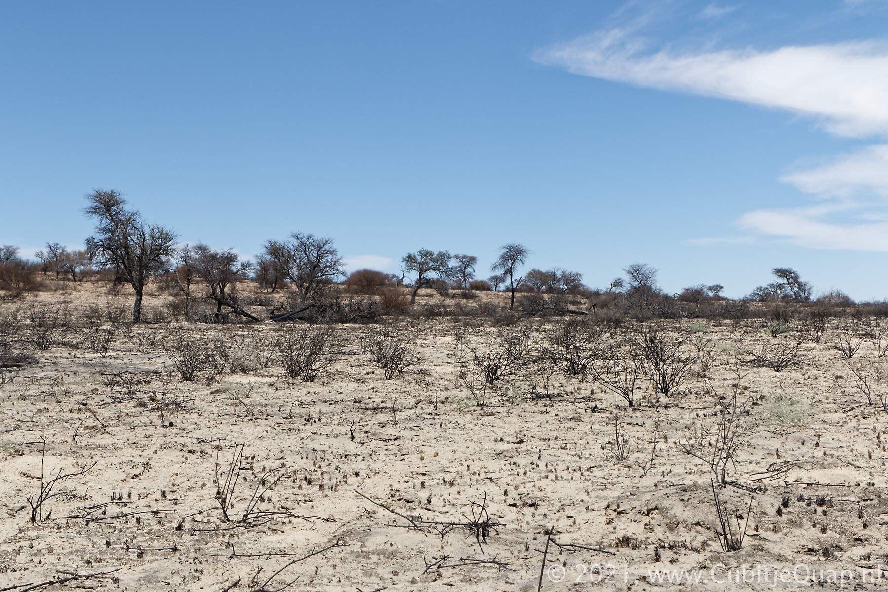
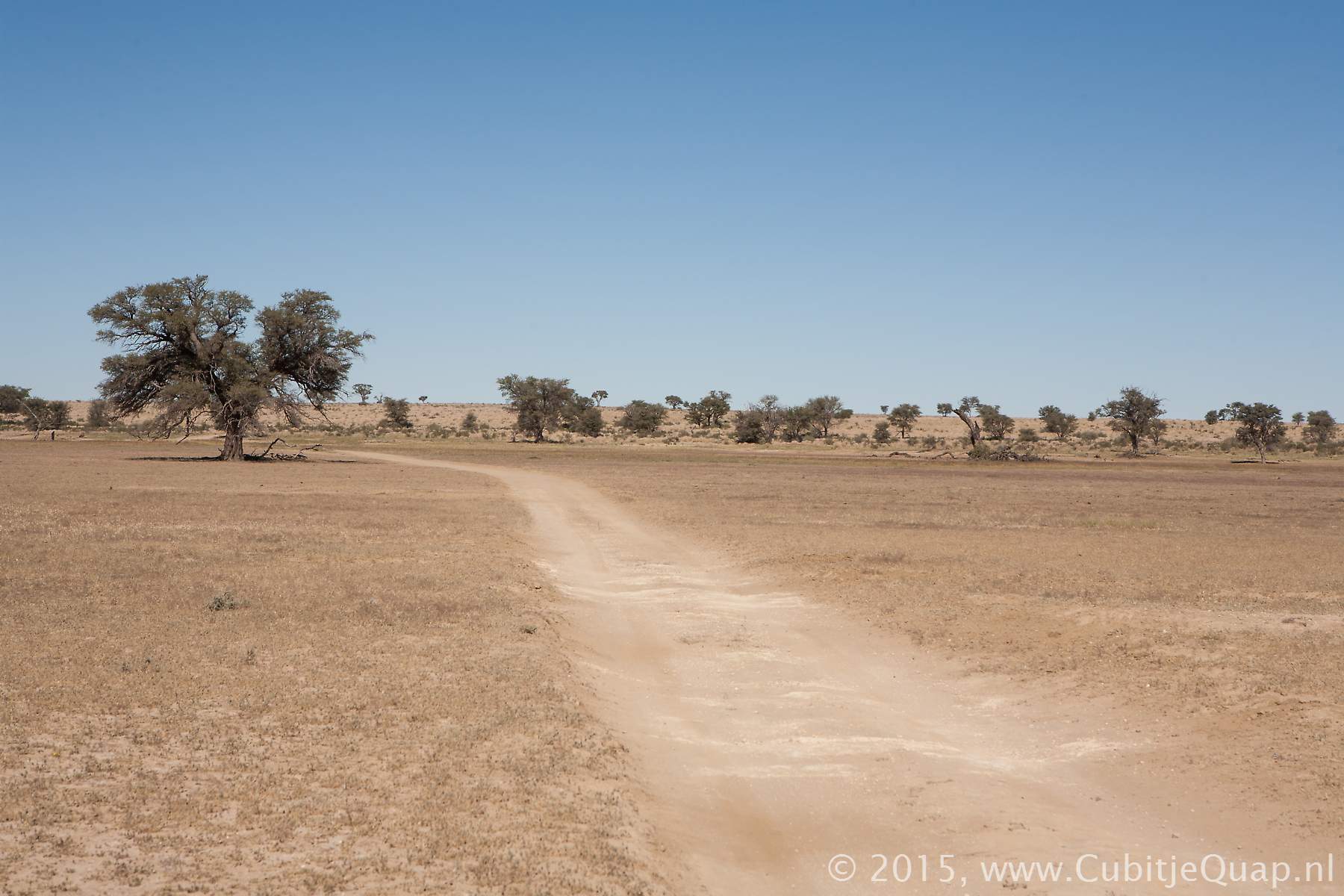
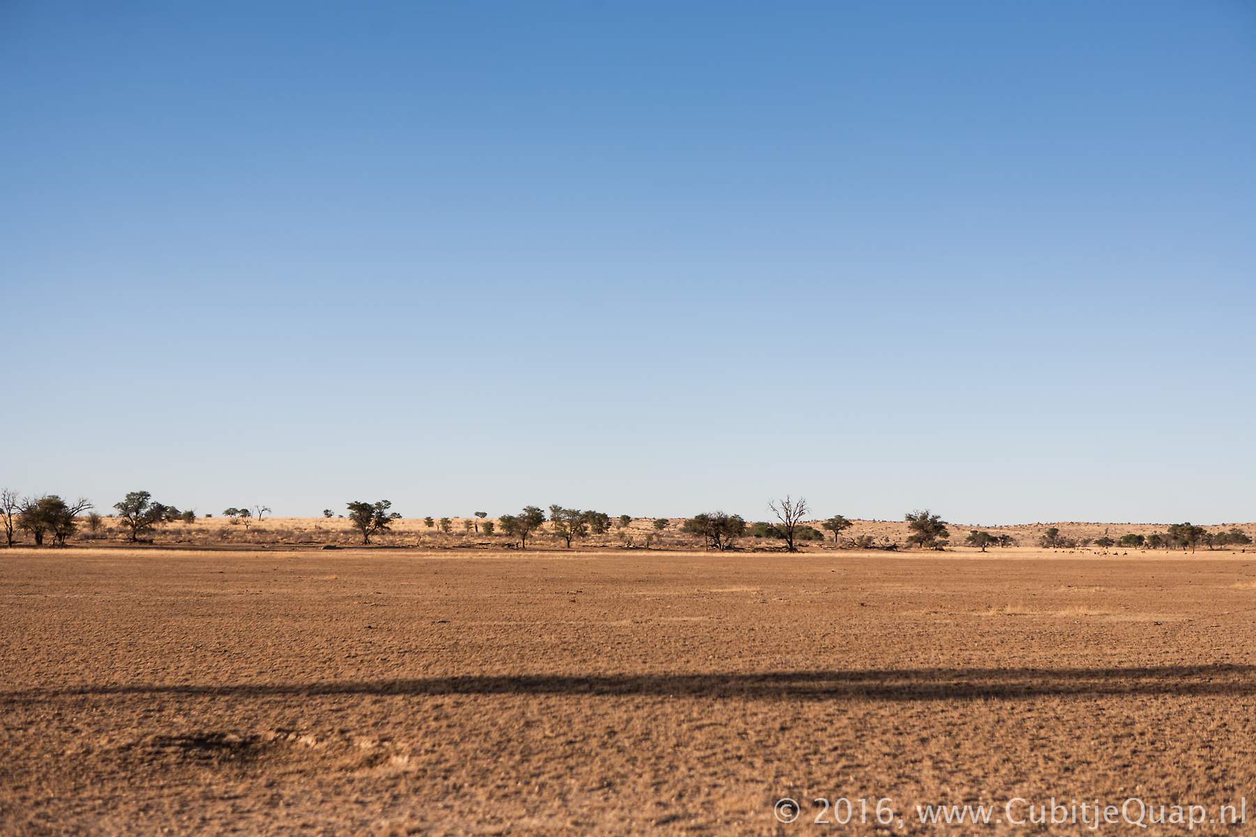
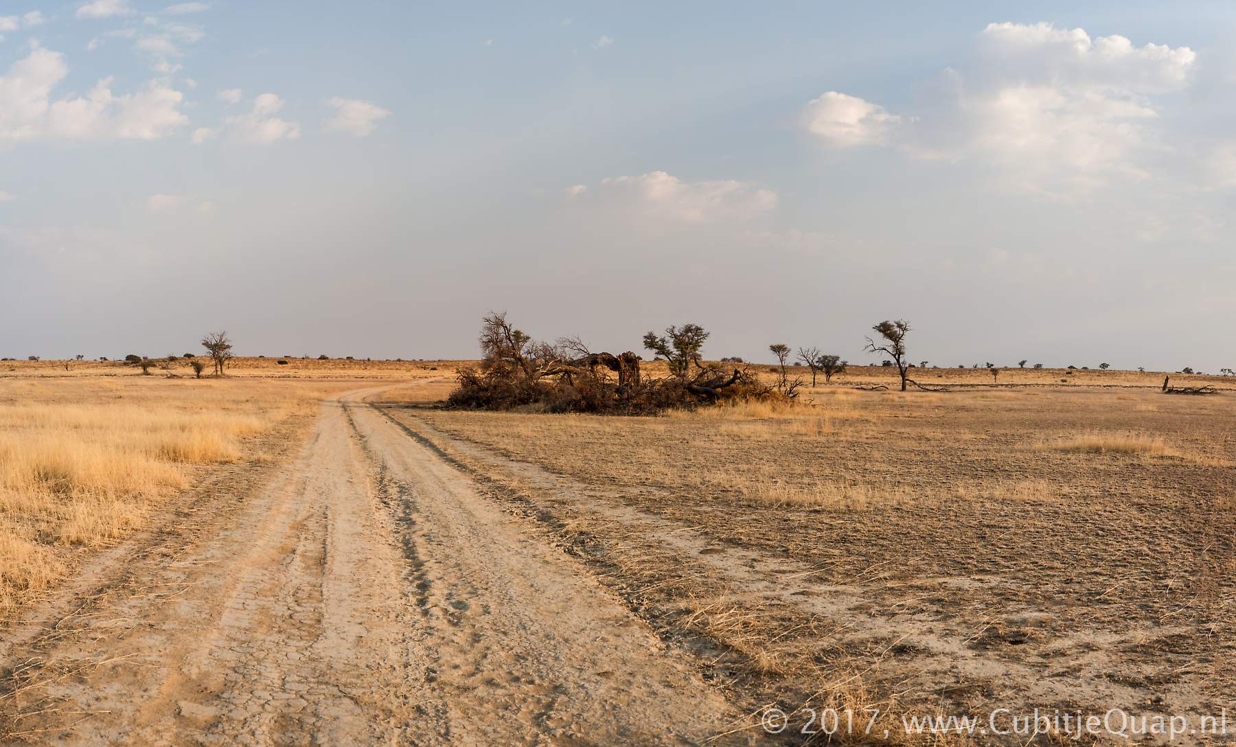
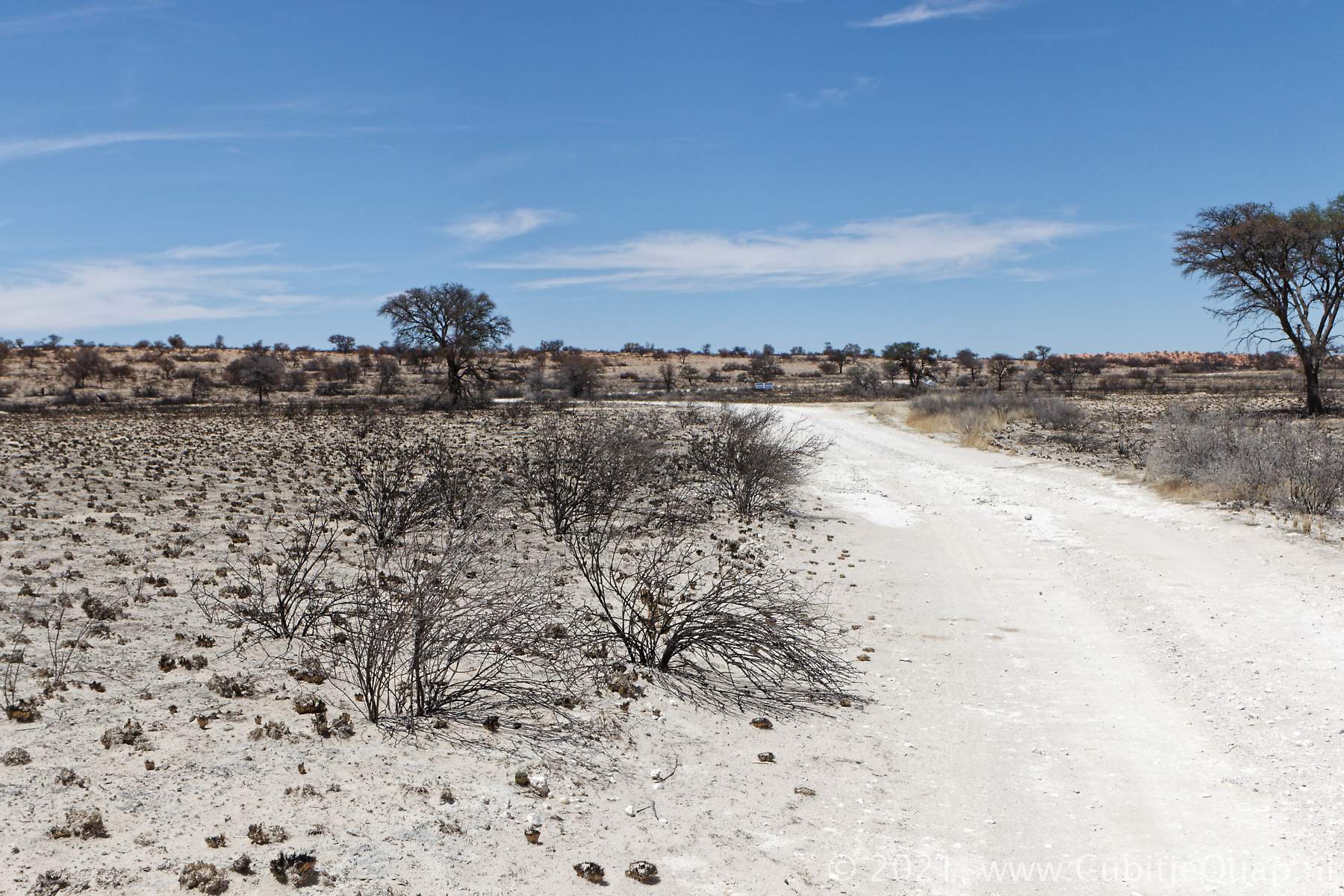
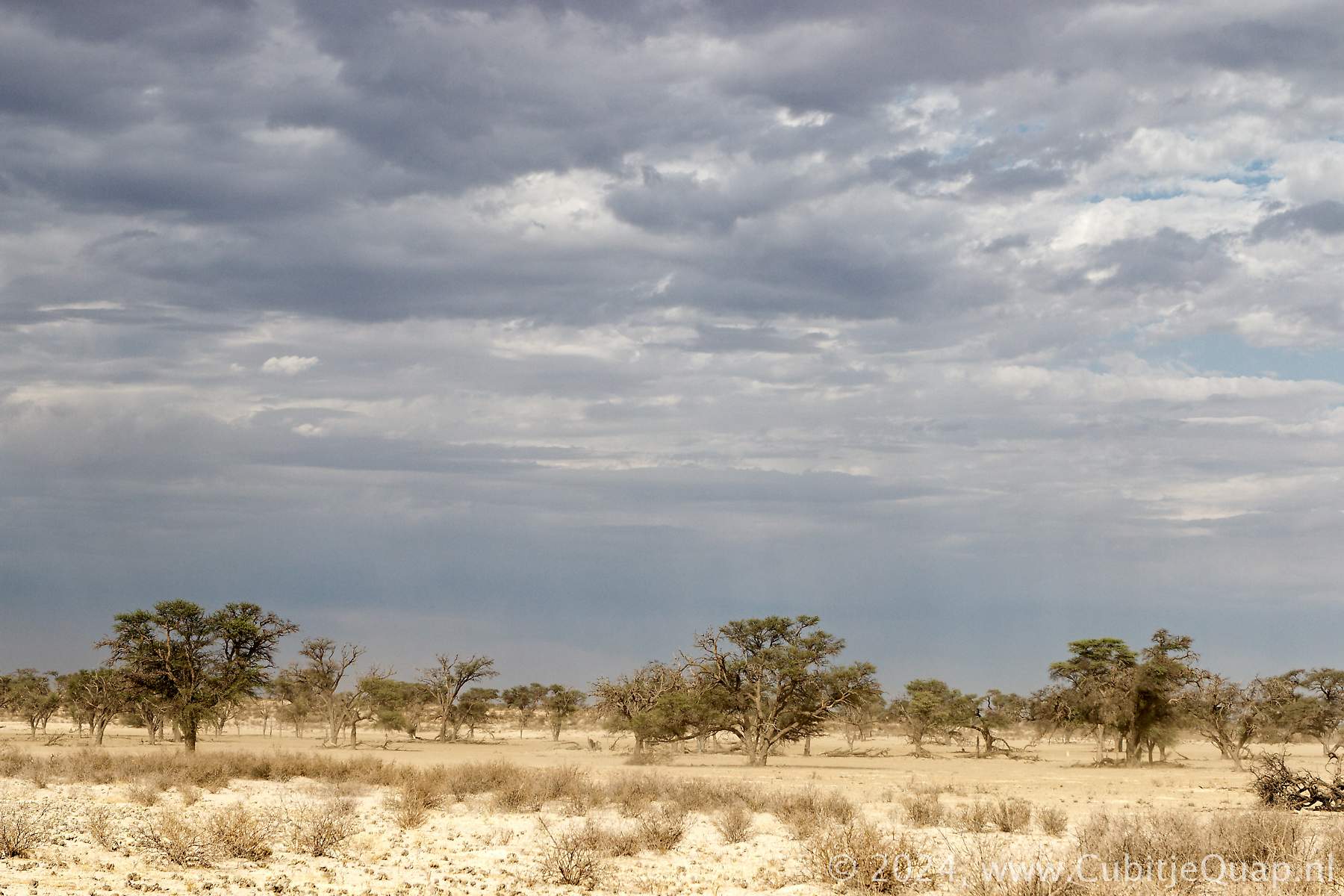
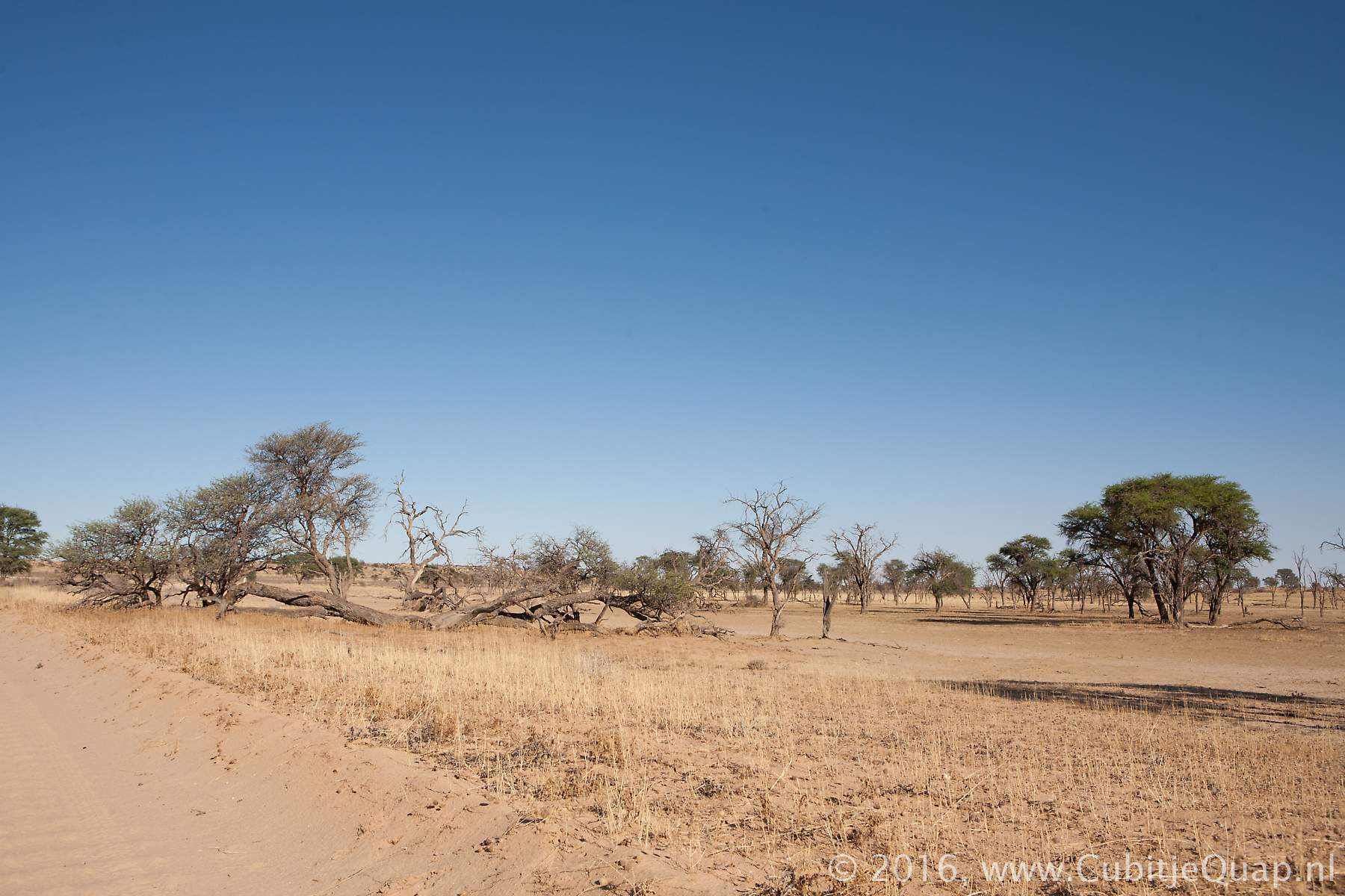
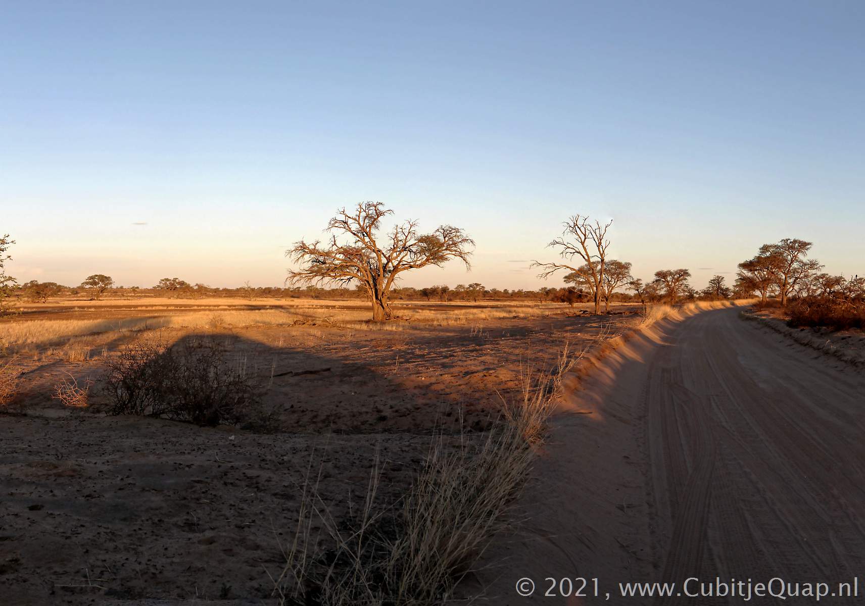
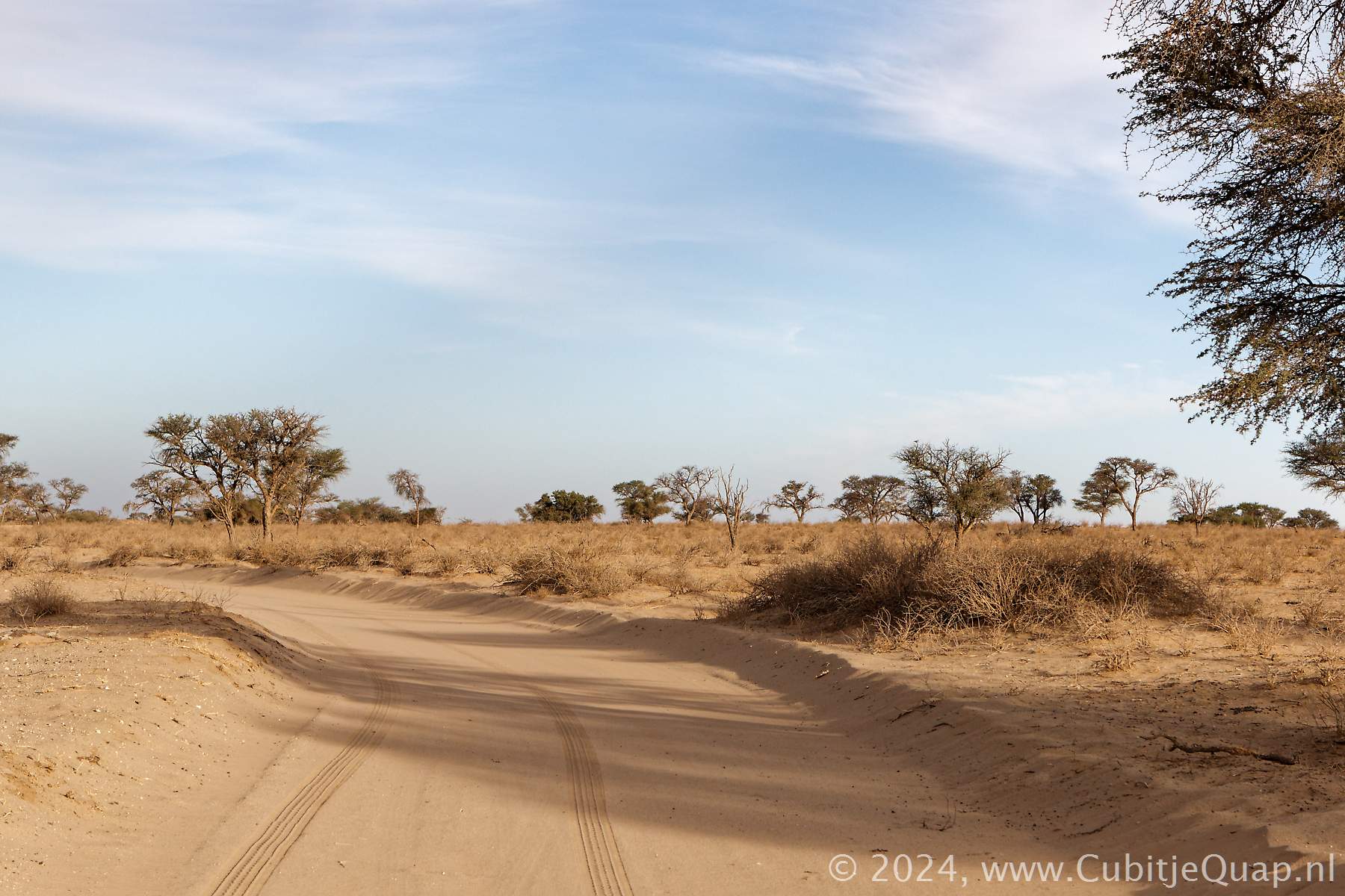
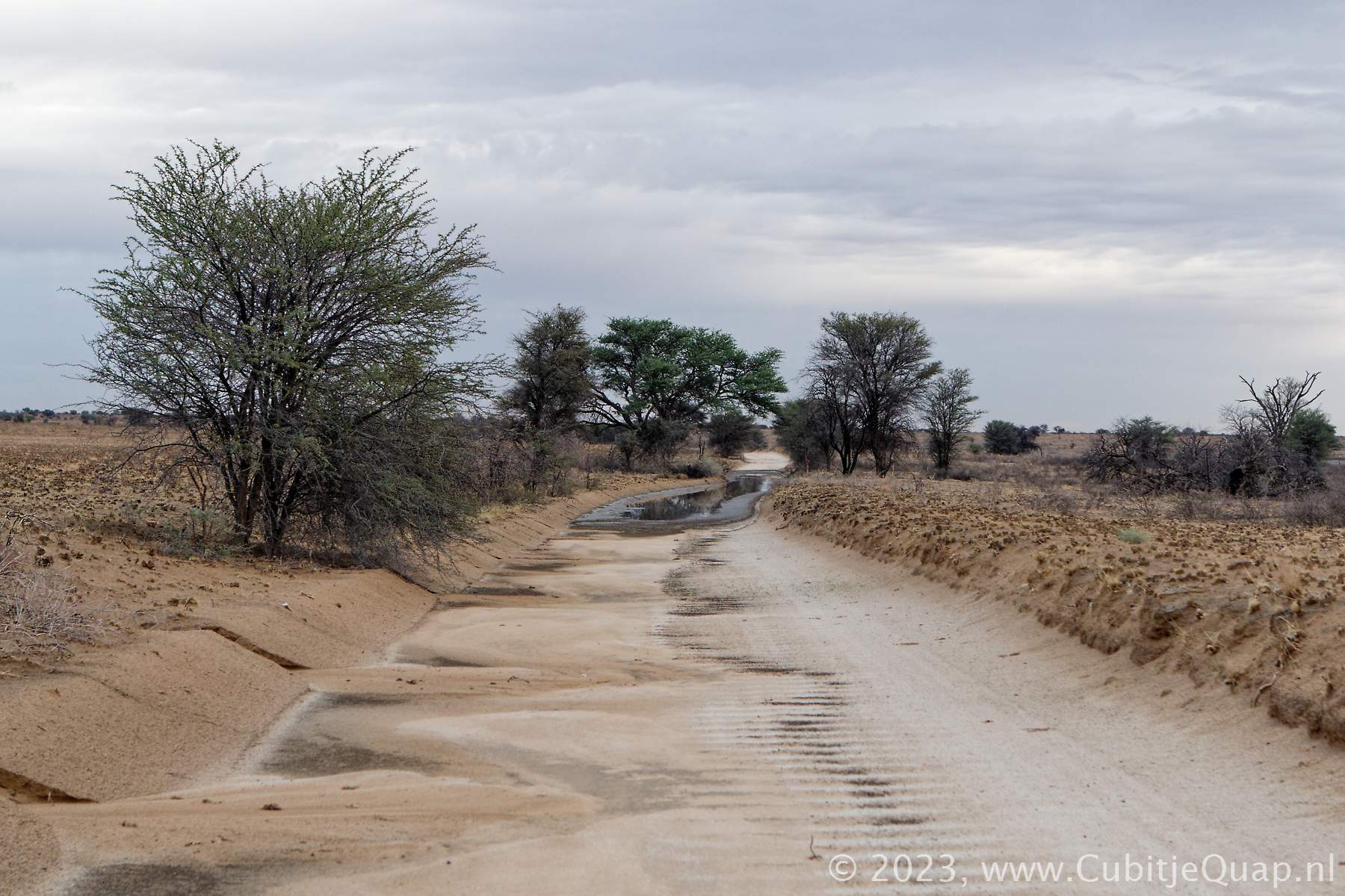
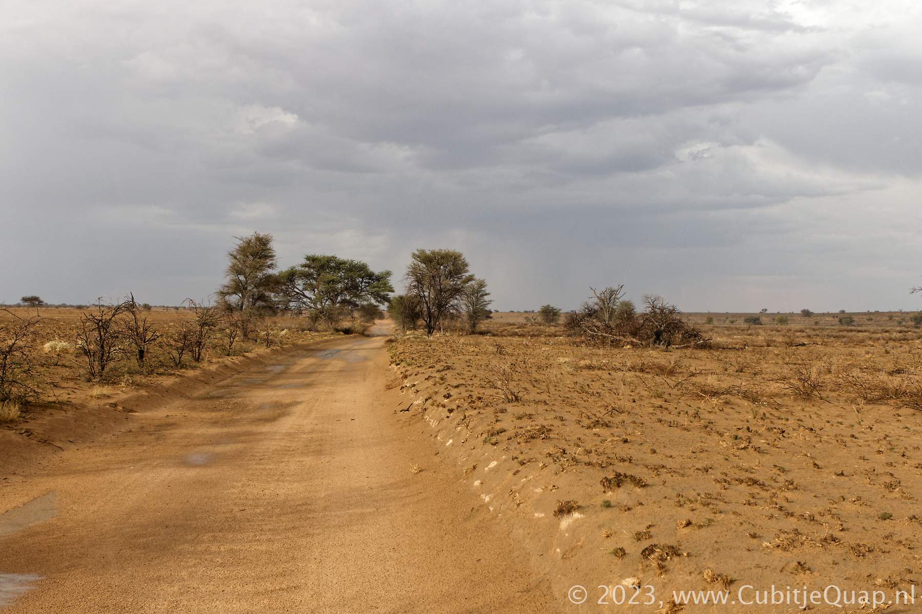
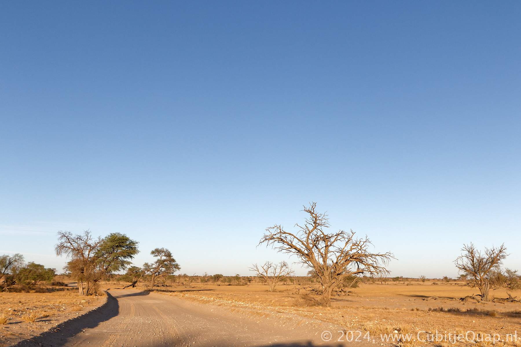
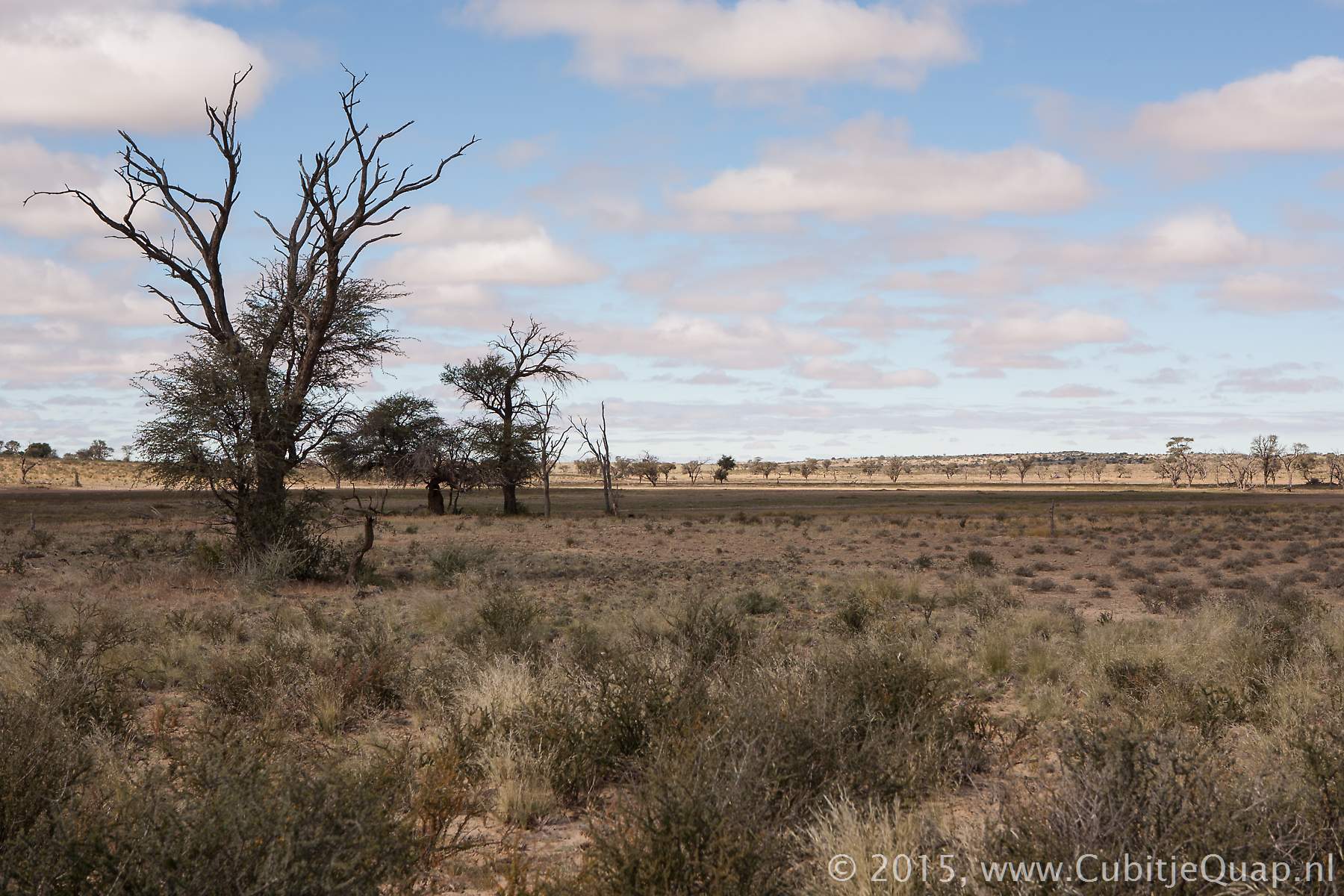
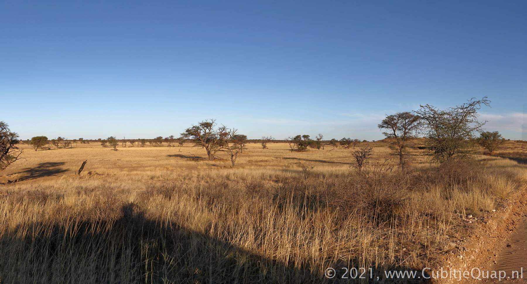
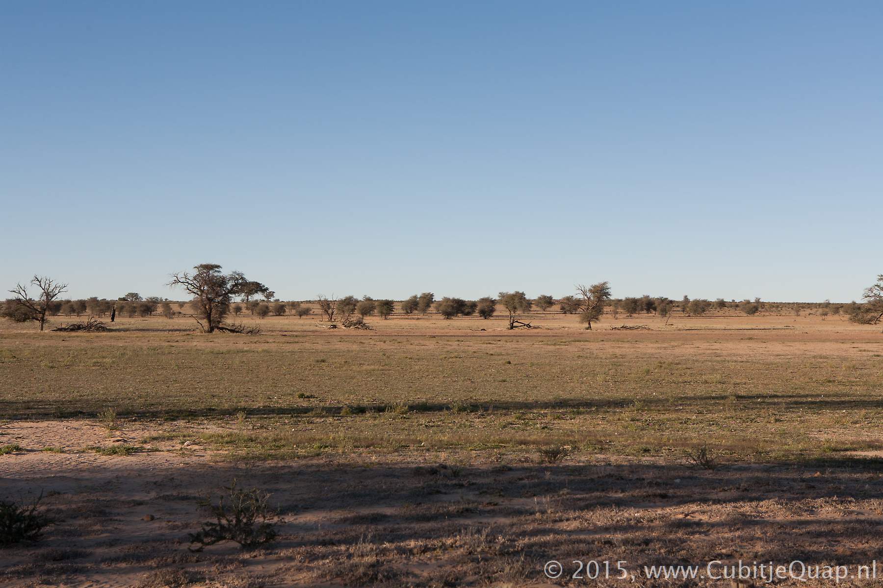
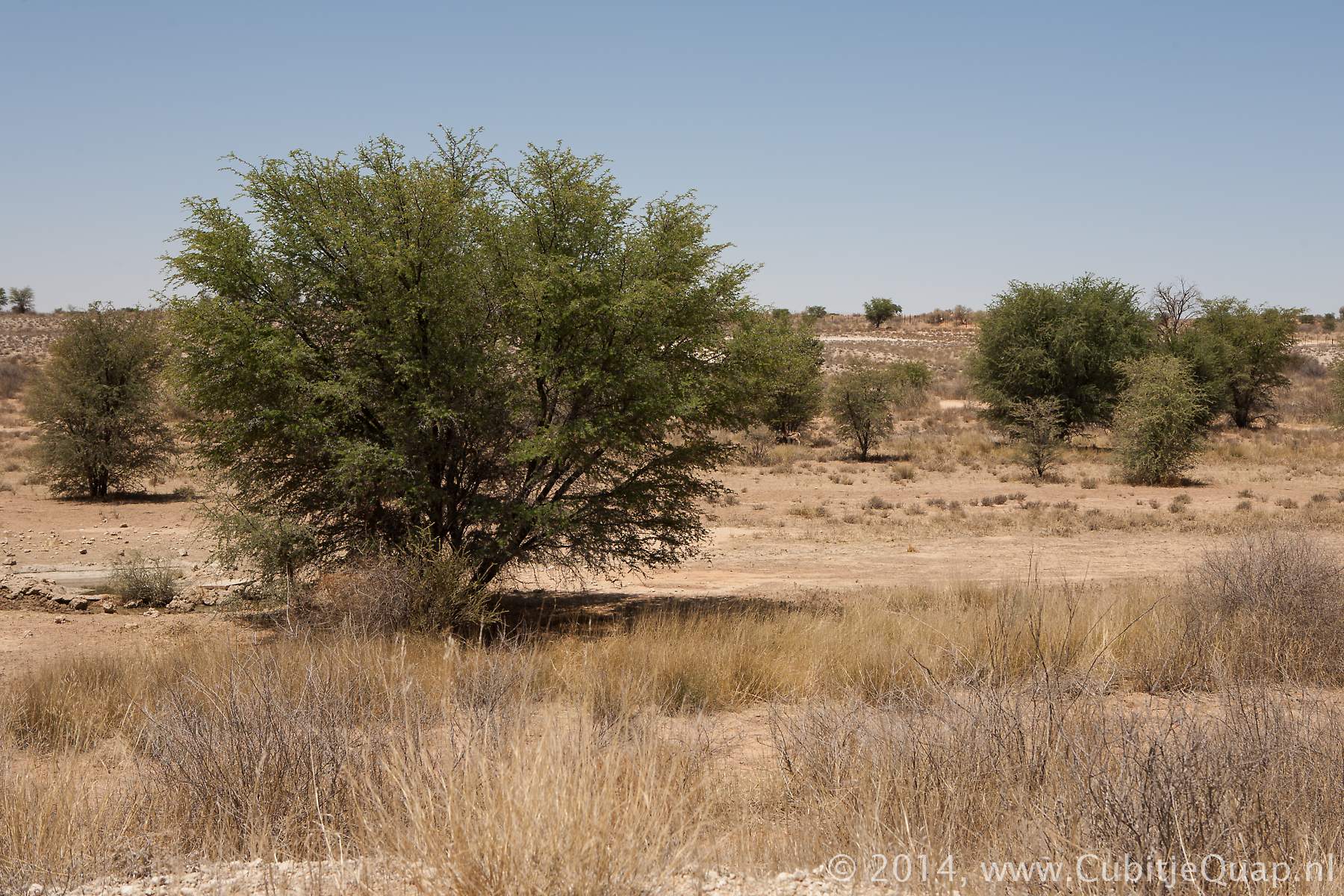
The gravel road from Twee Rivieren follows the Nossob riverbed on the eastern side. The first part of the road is close to the dunes on the left, wioth the riverbed on the right. further to the north the road meanders more into the riverbed.Along the road there are both large trees and scrubs. At the junction with the lower dune road, Kij Kij waterhole can be approached closely frmo the start of the dune road.
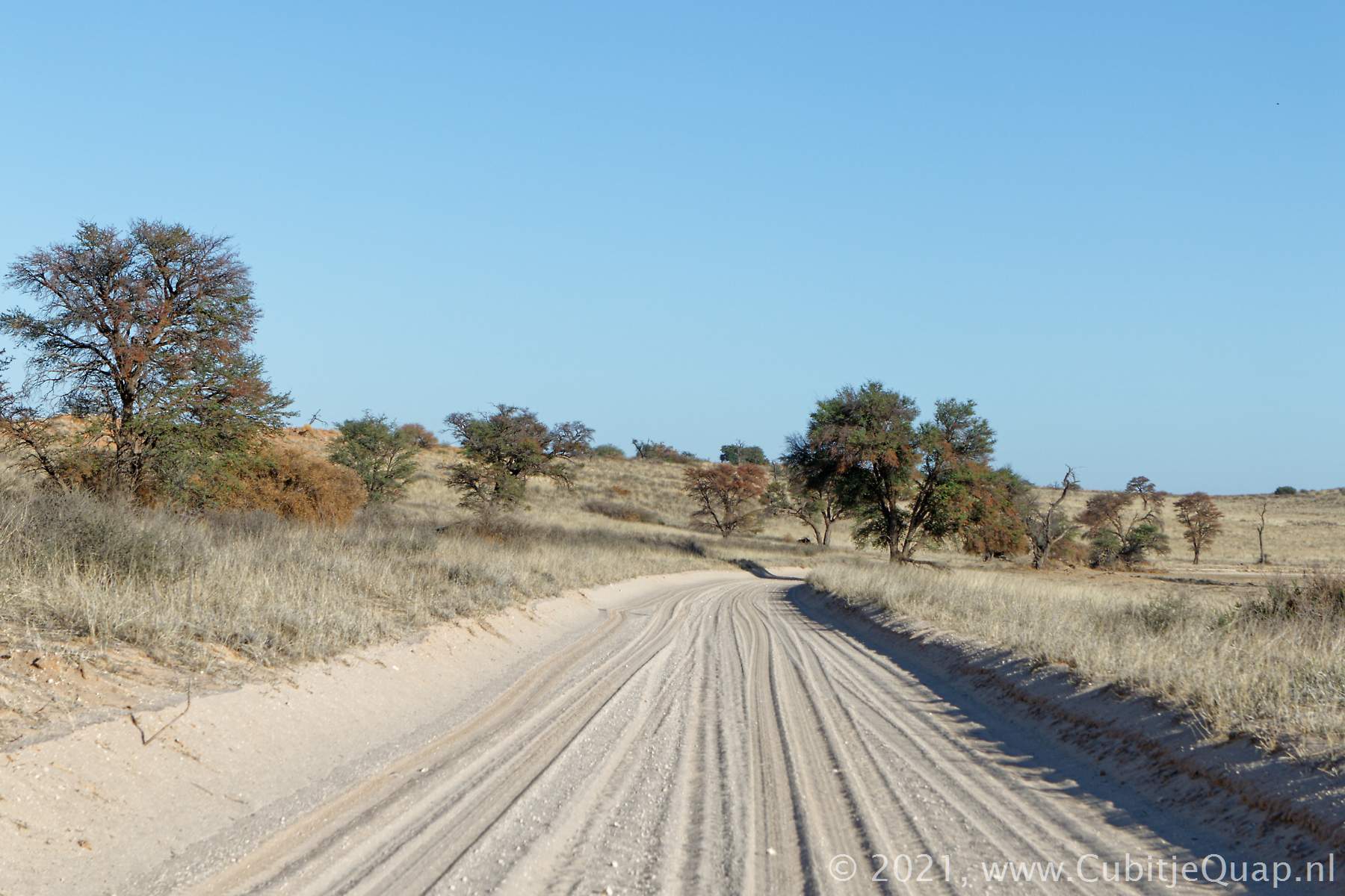
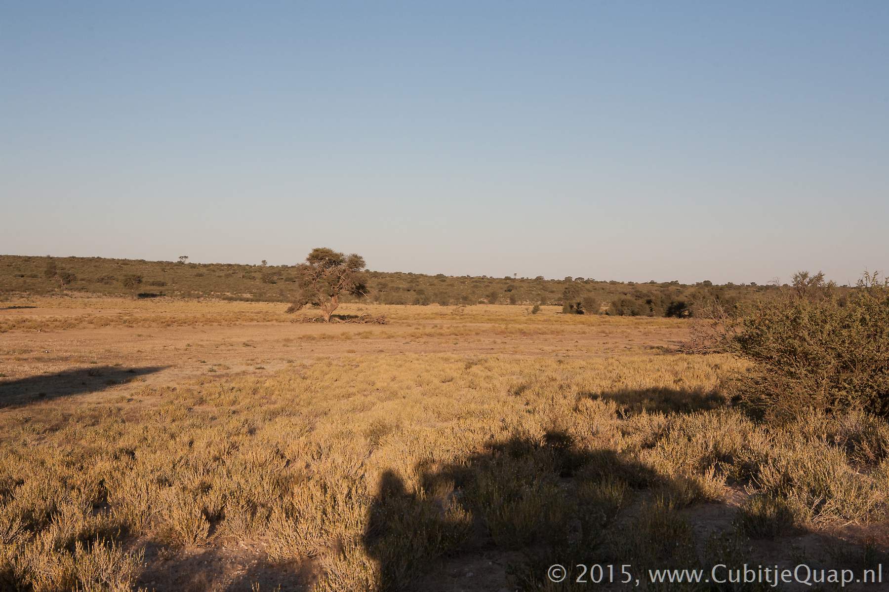
Kij Kij to Dikbaardskolk
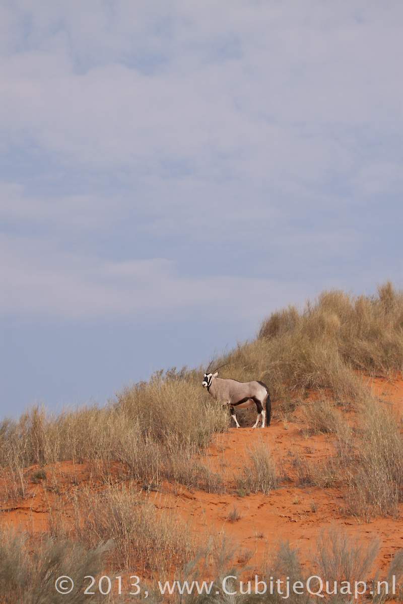
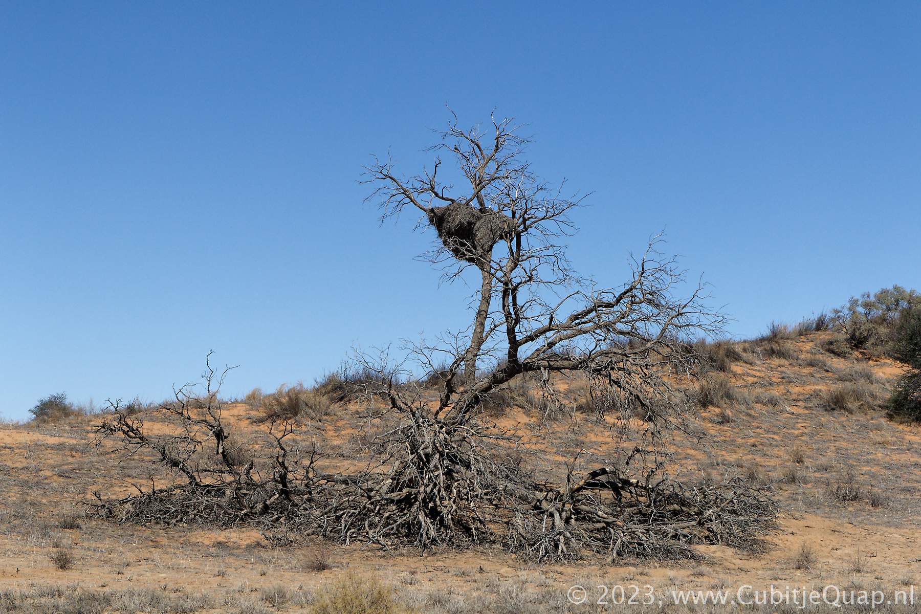
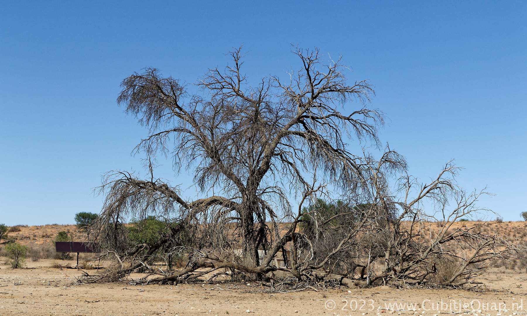
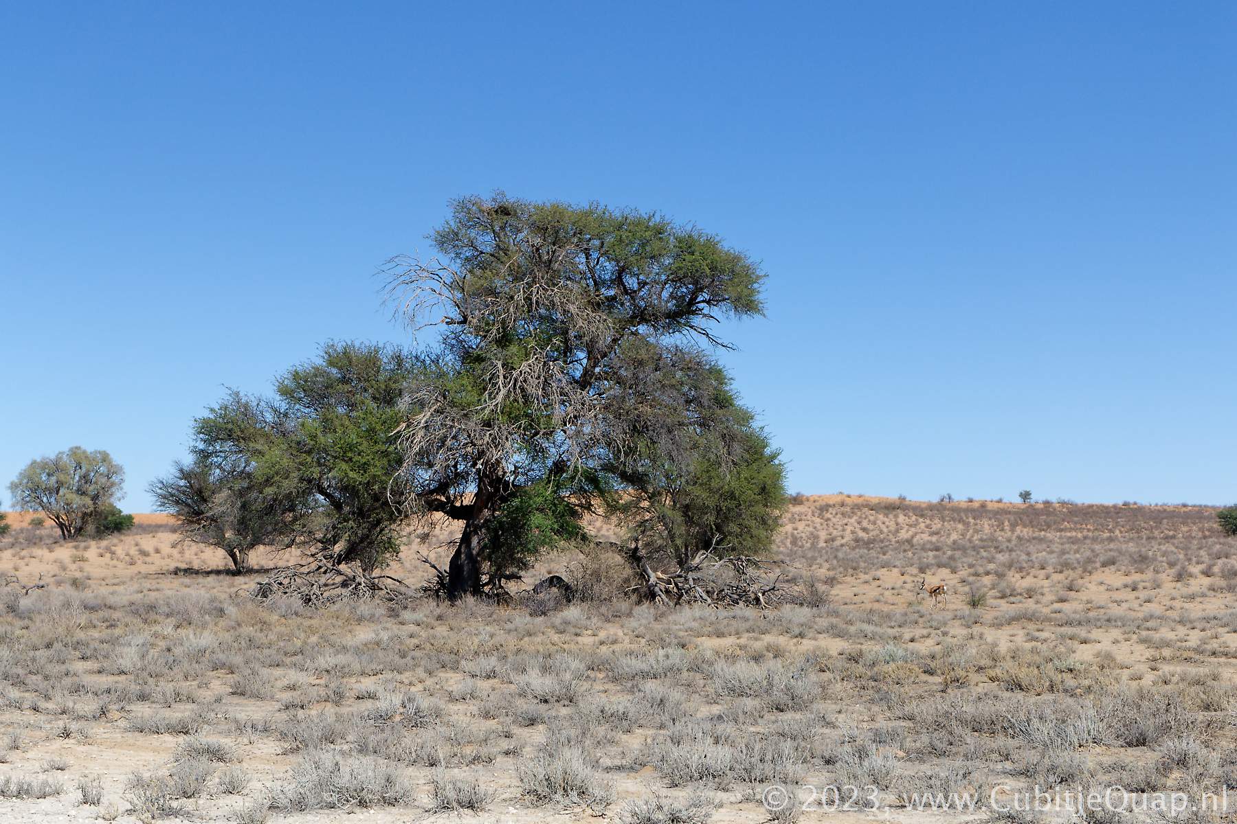
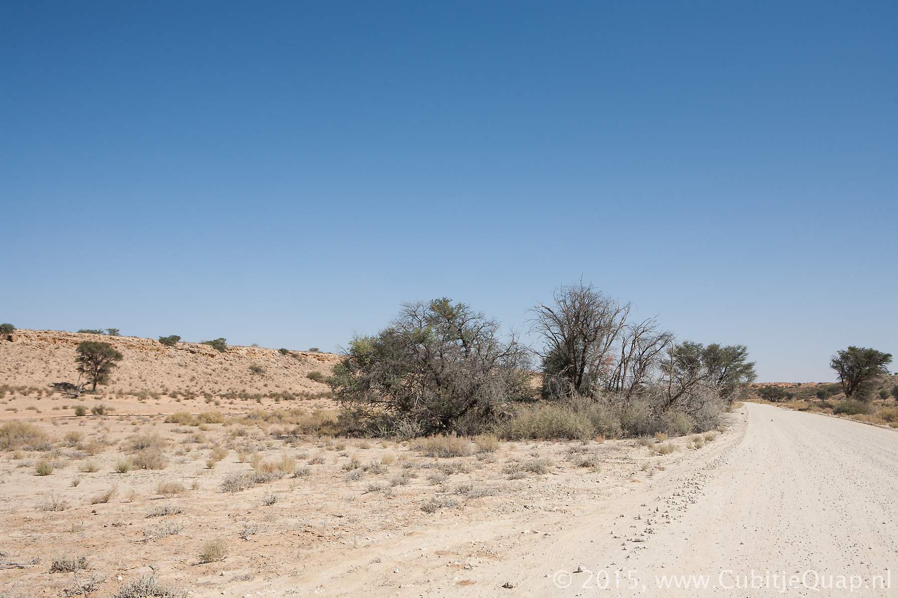
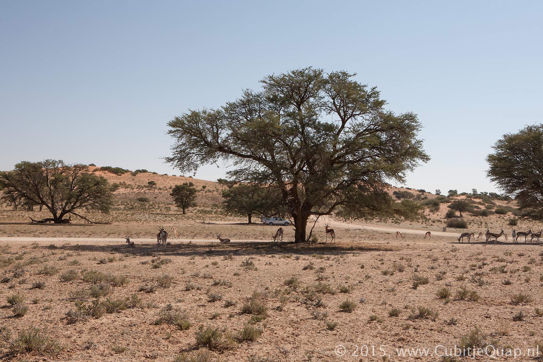
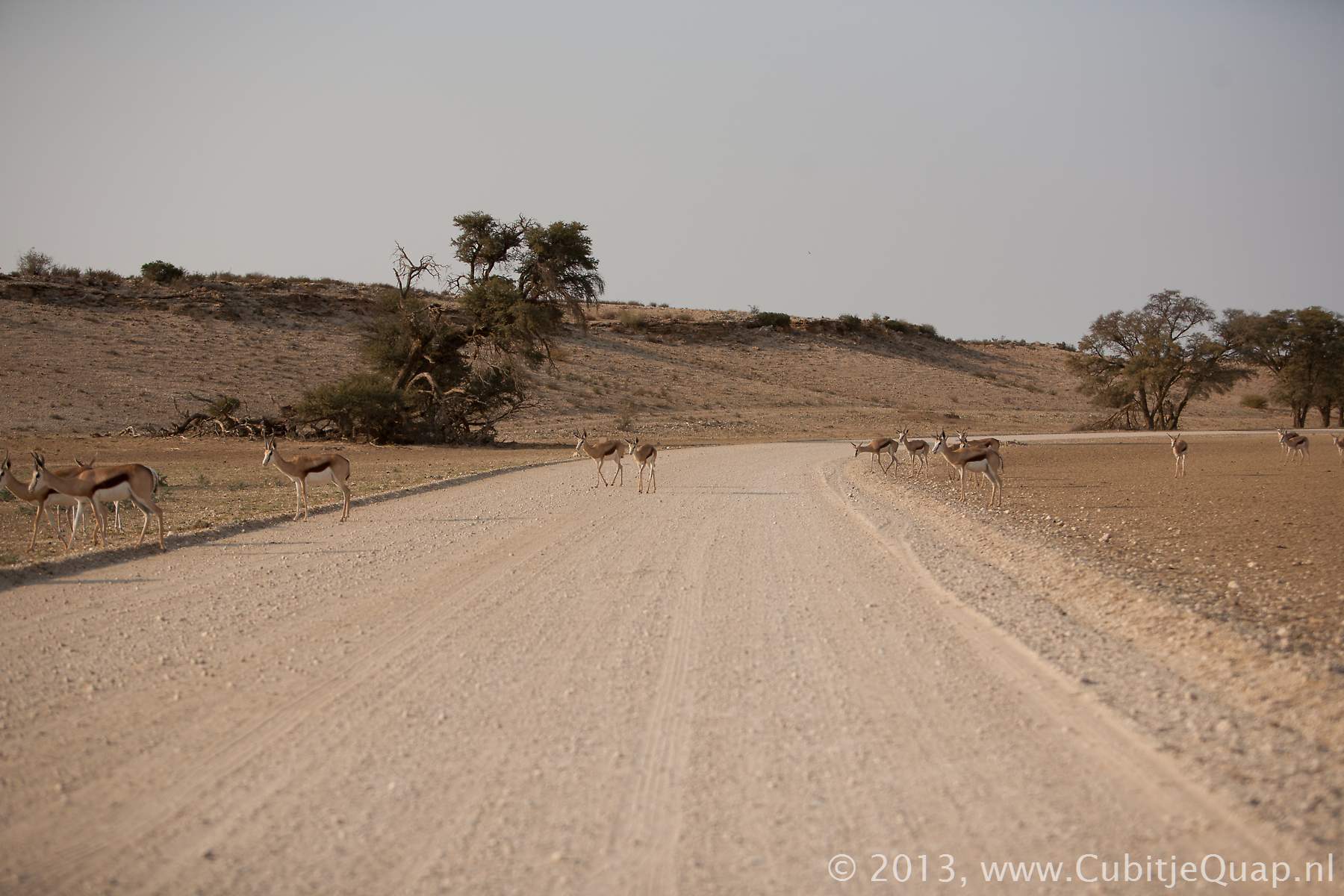
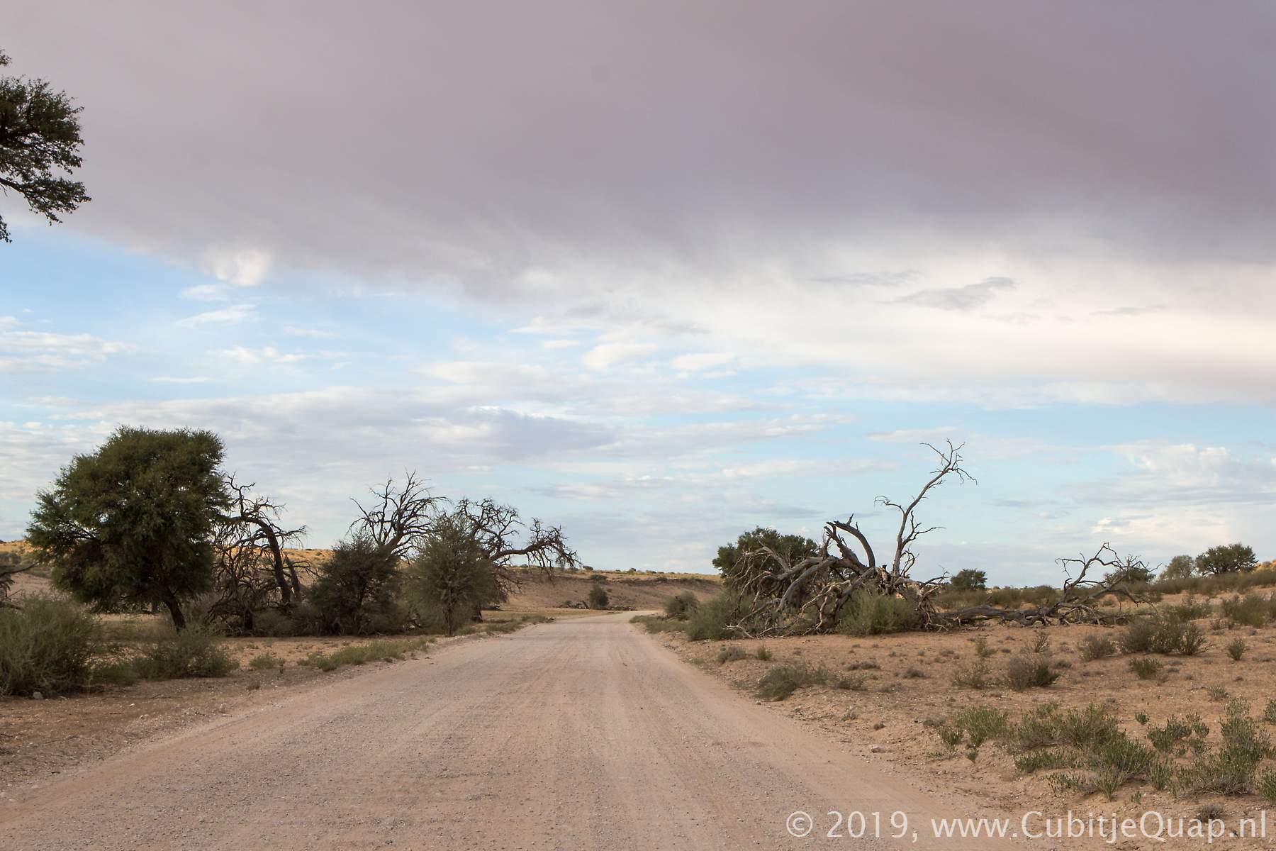
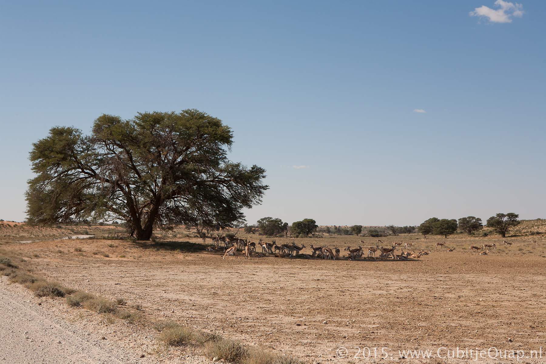
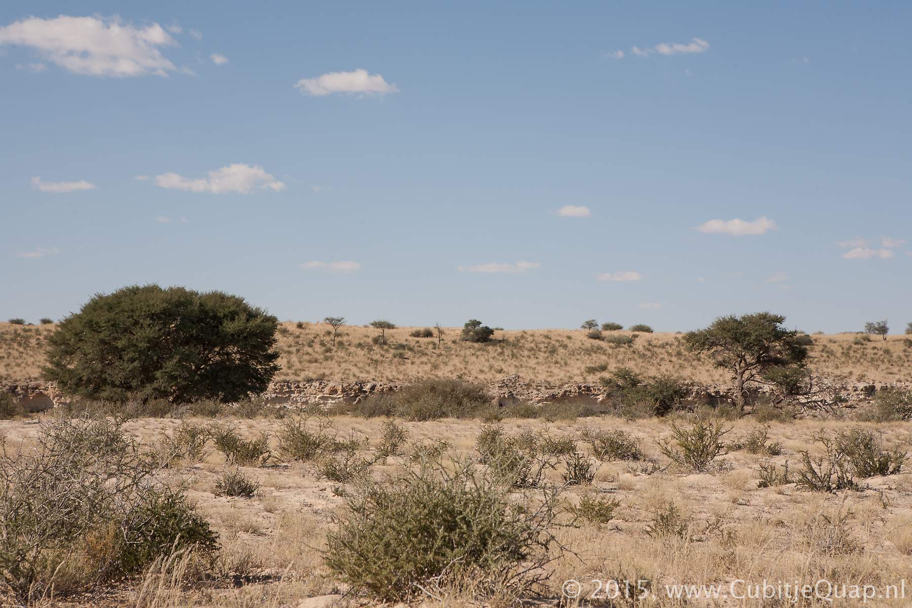
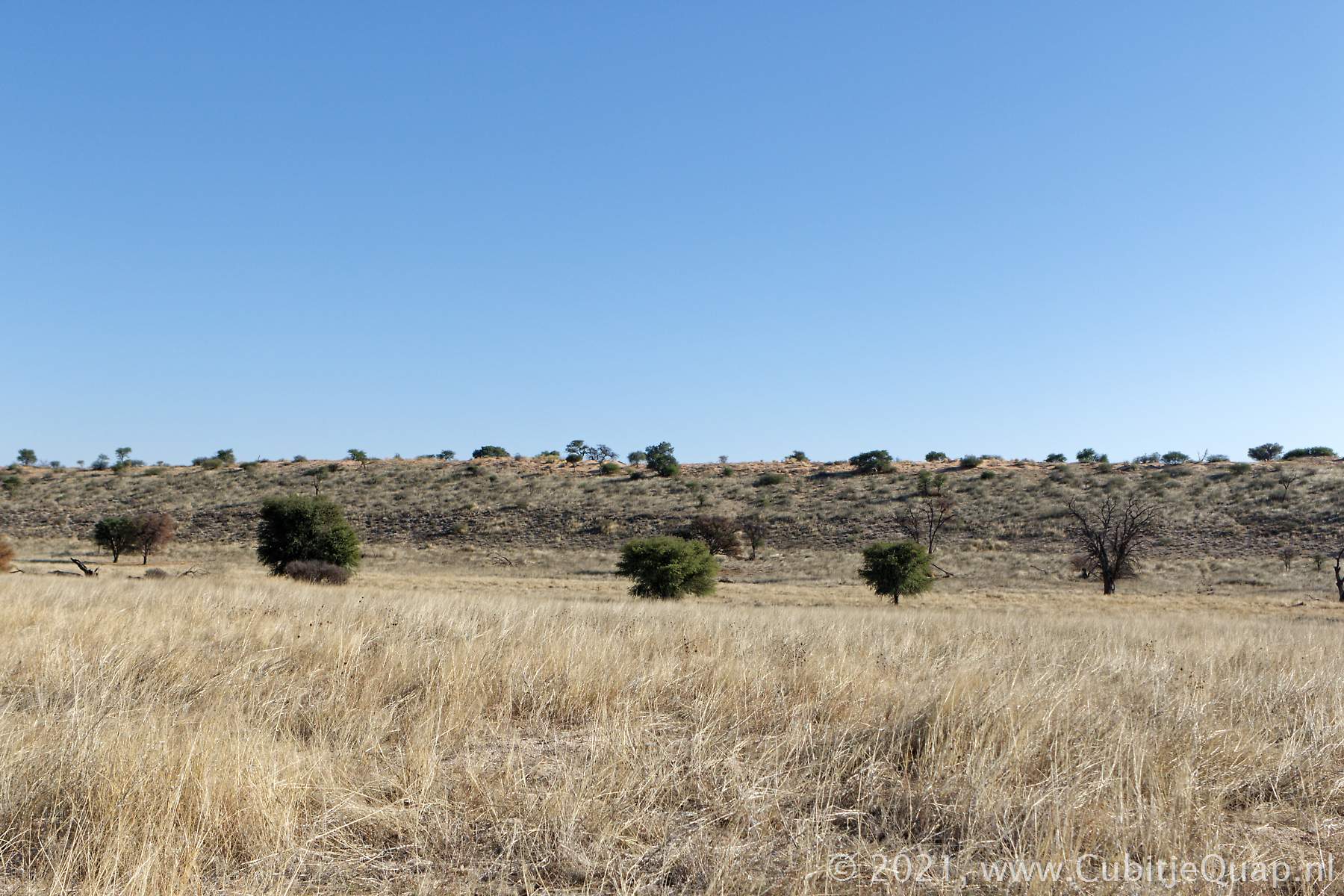
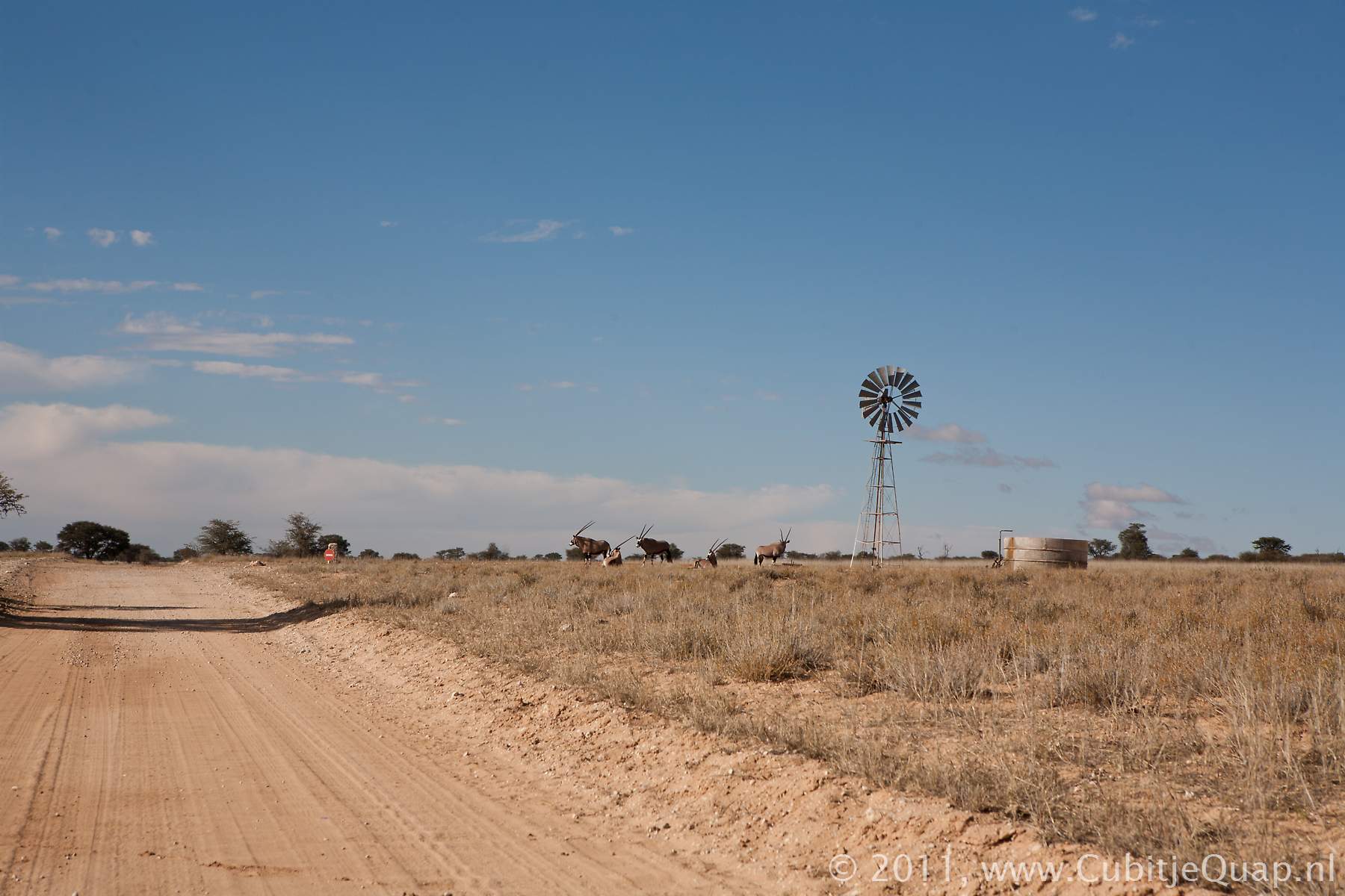
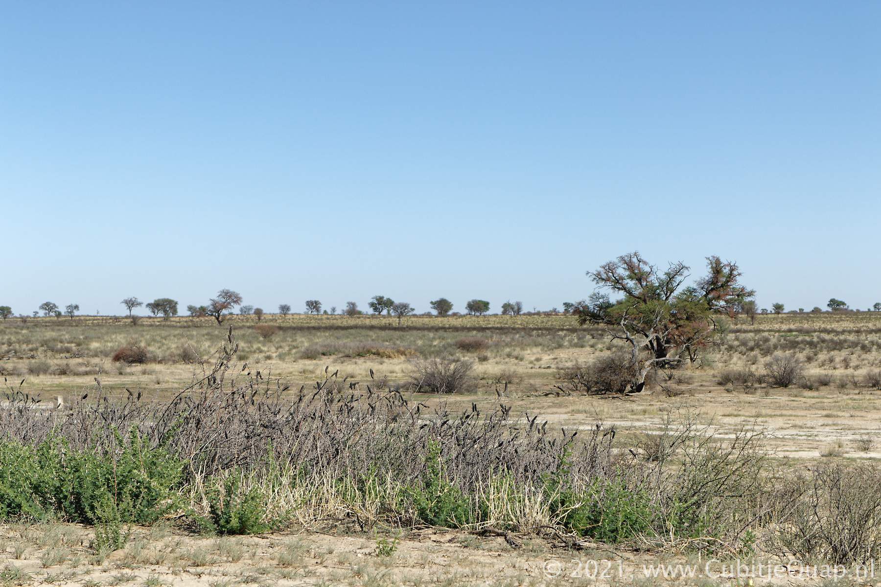
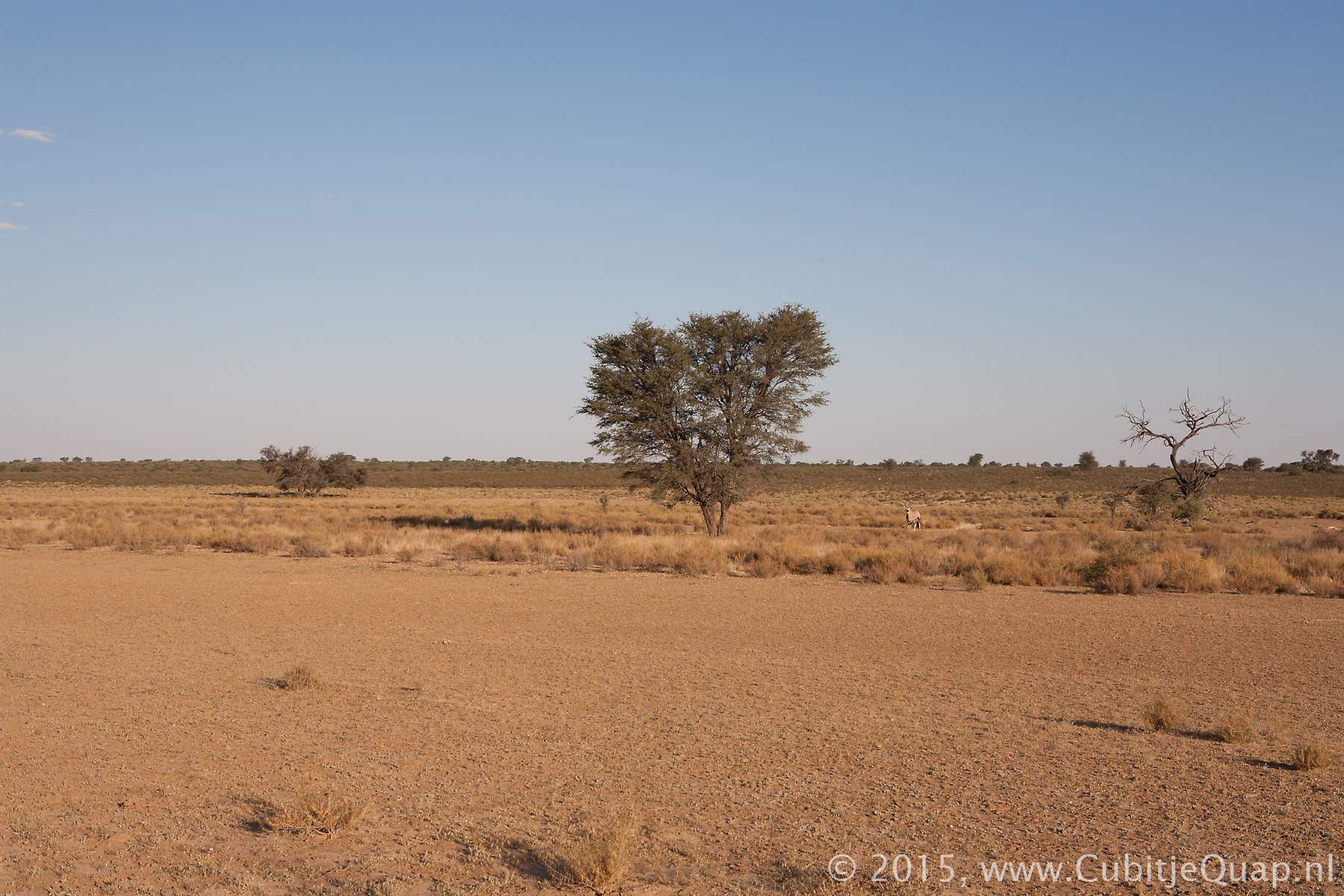
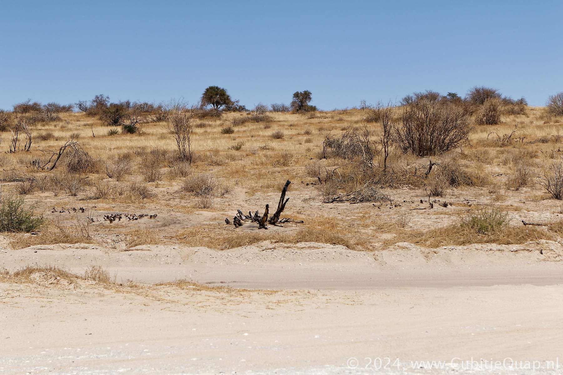
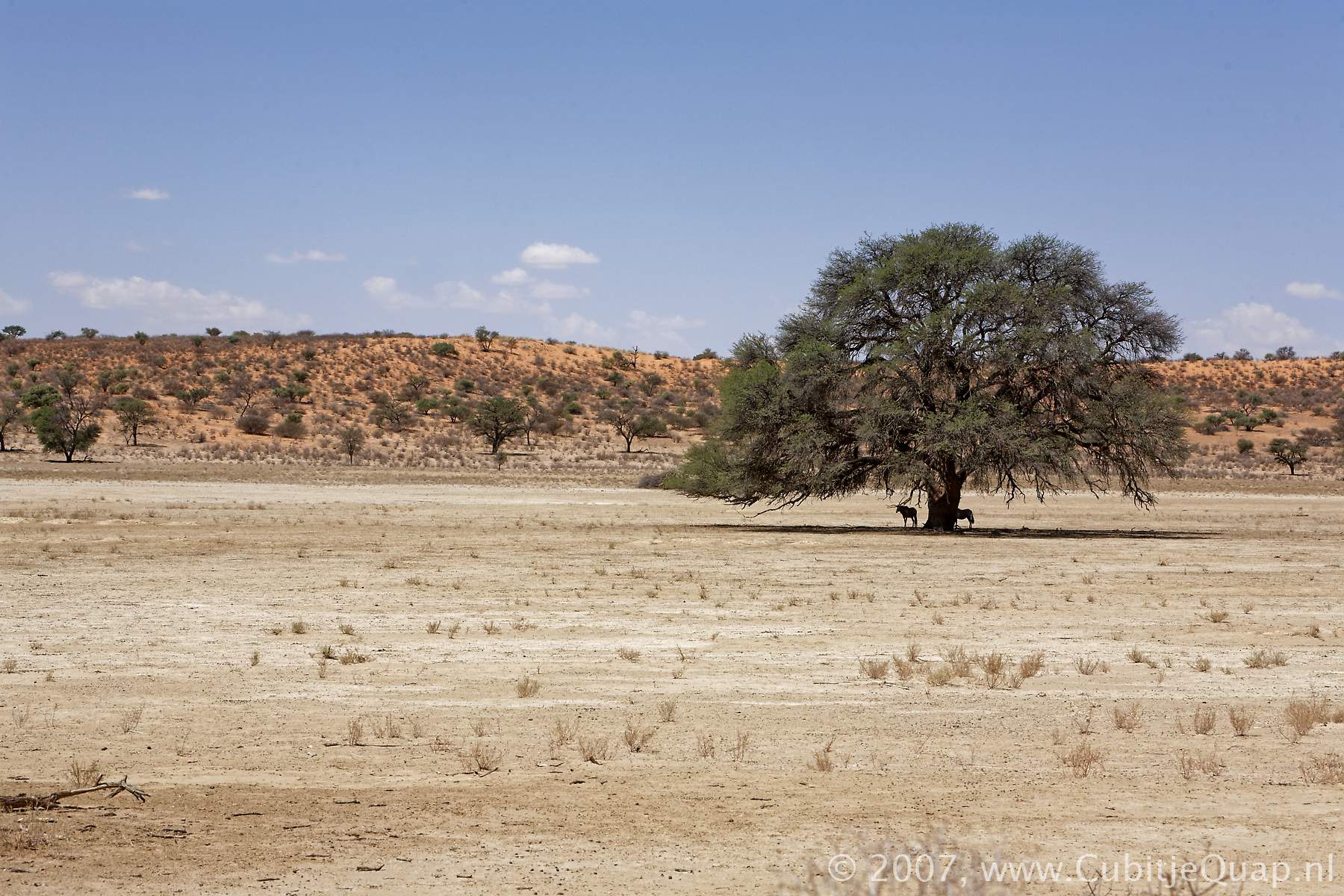
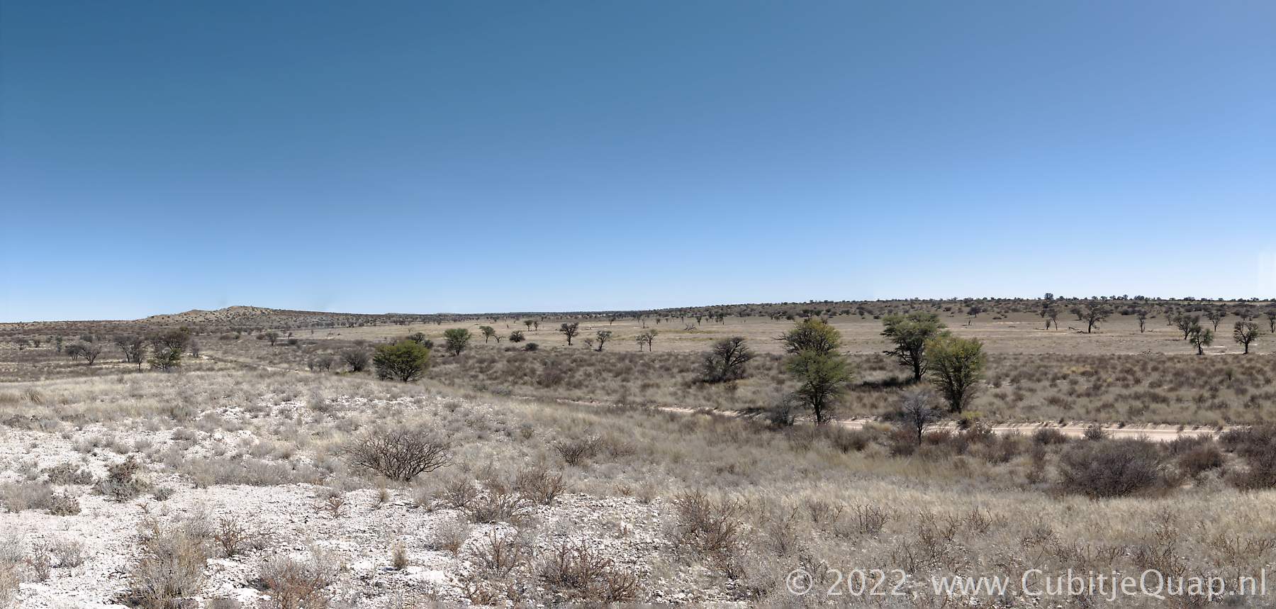
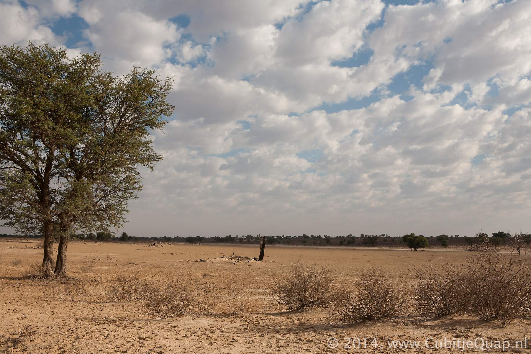
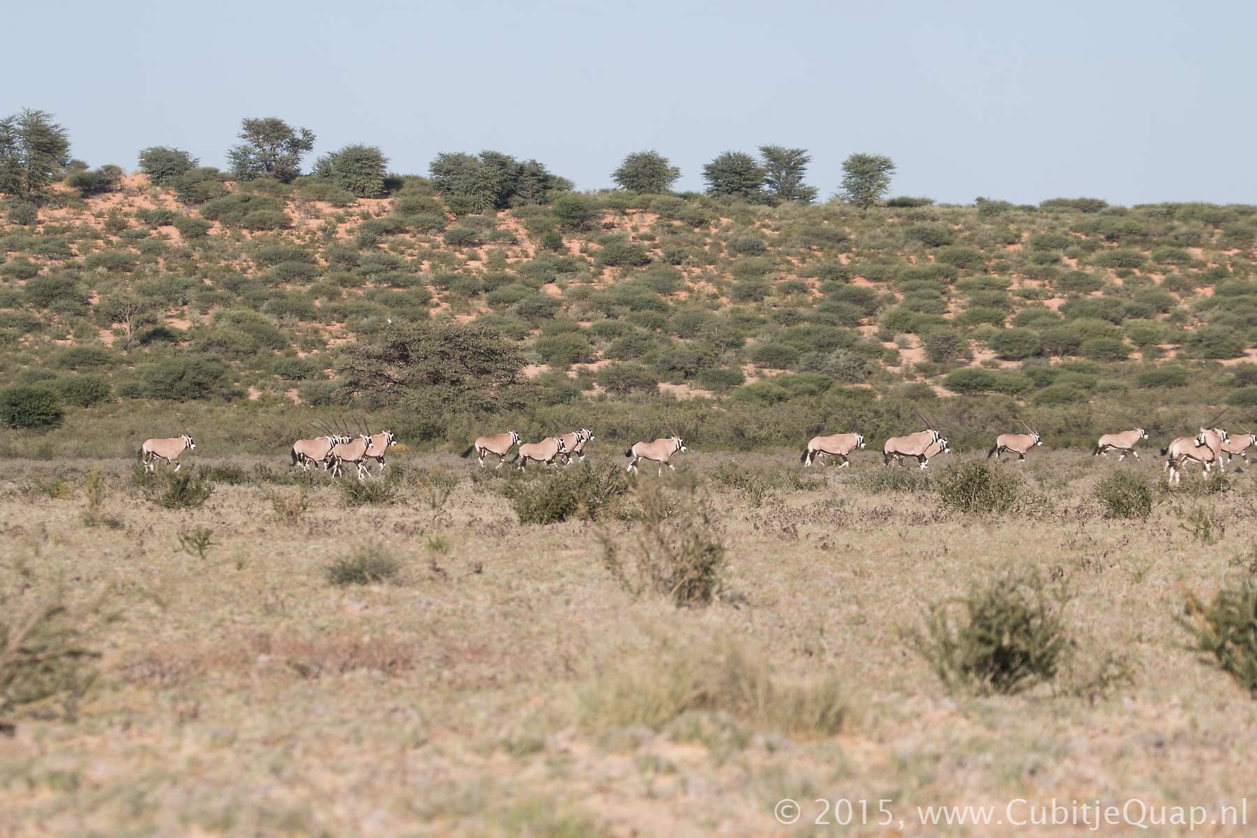
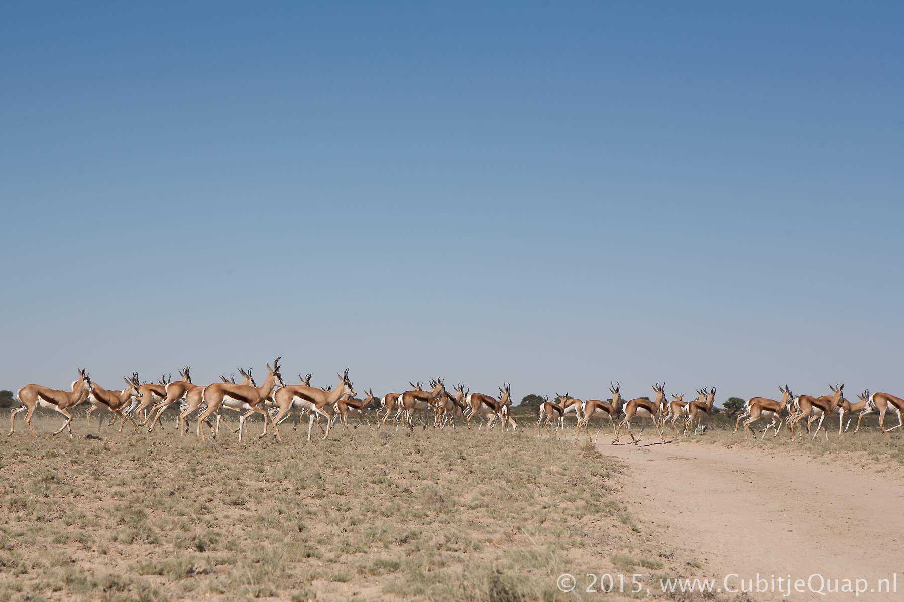
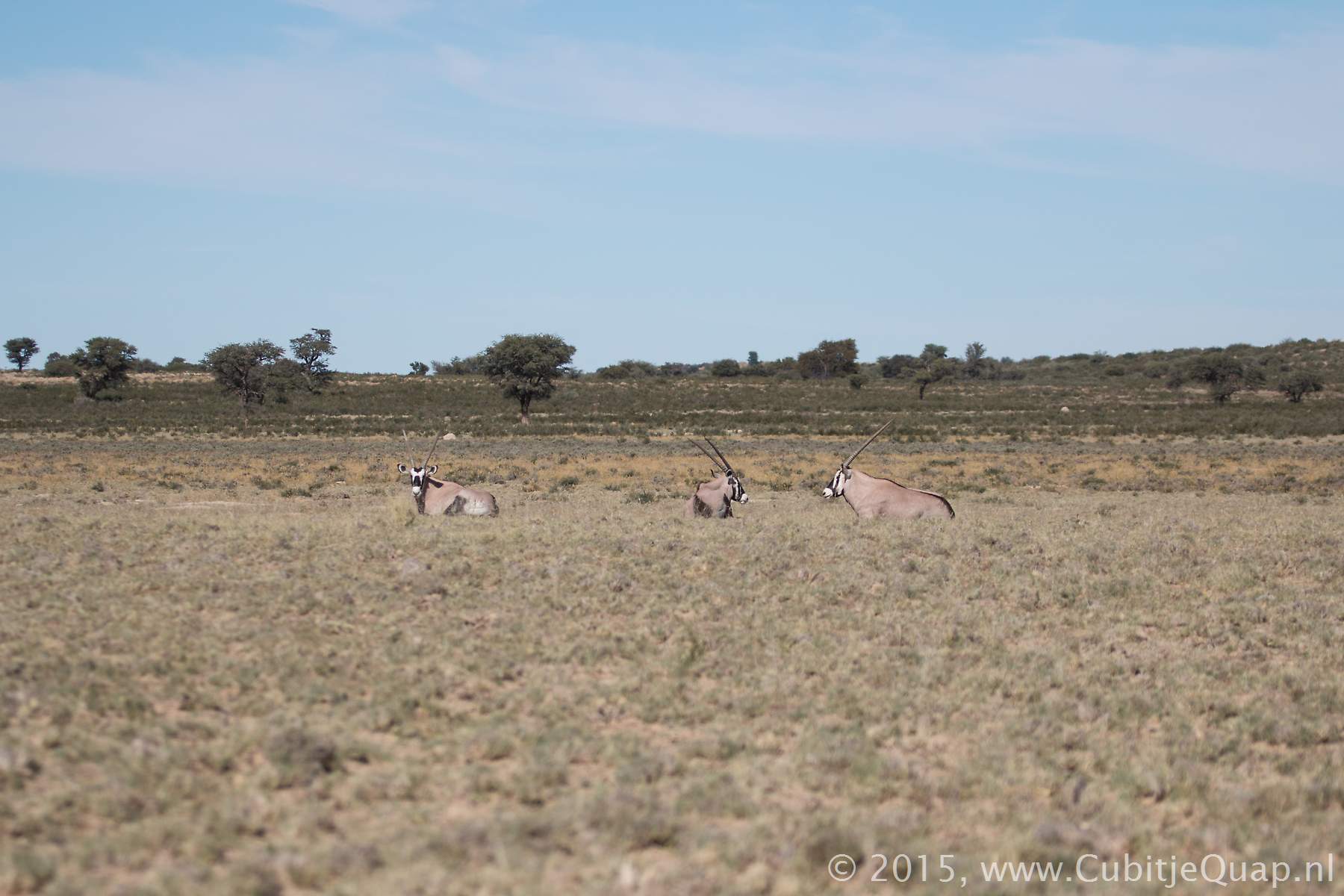
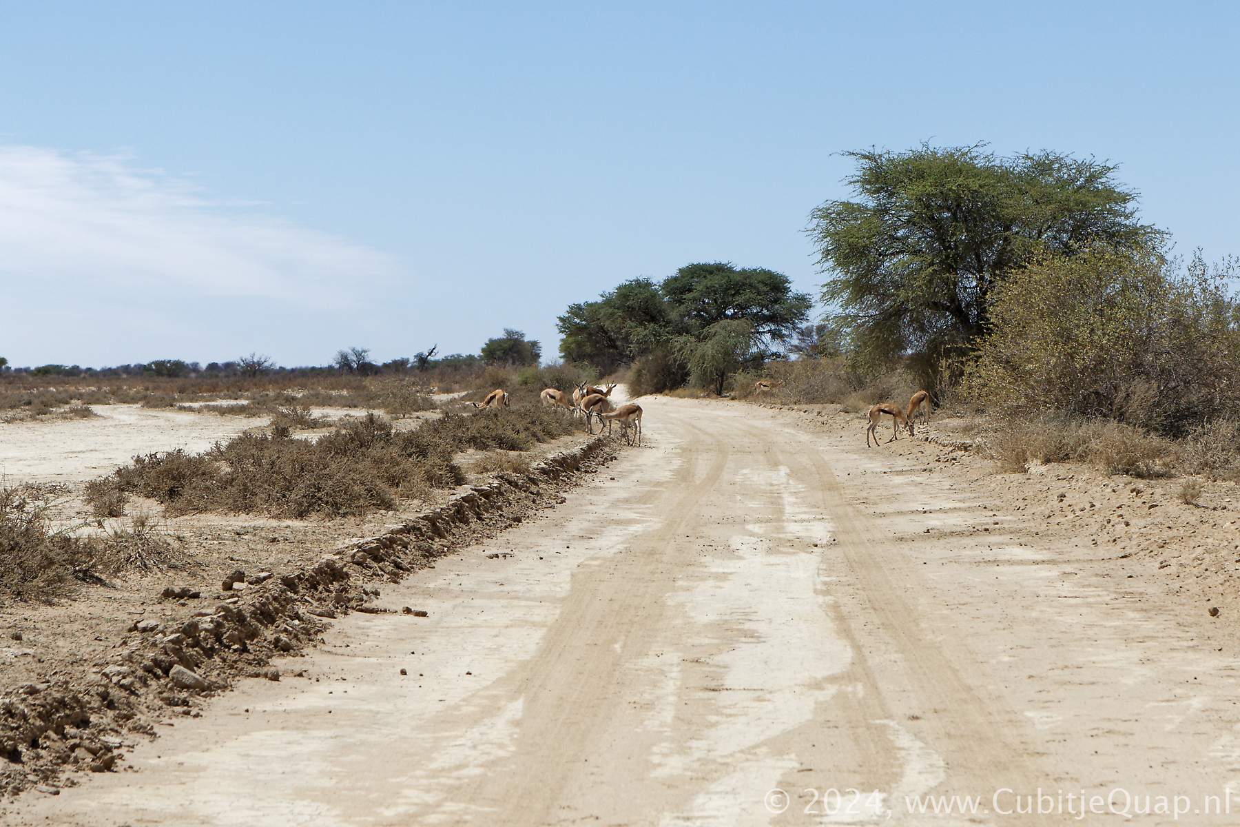
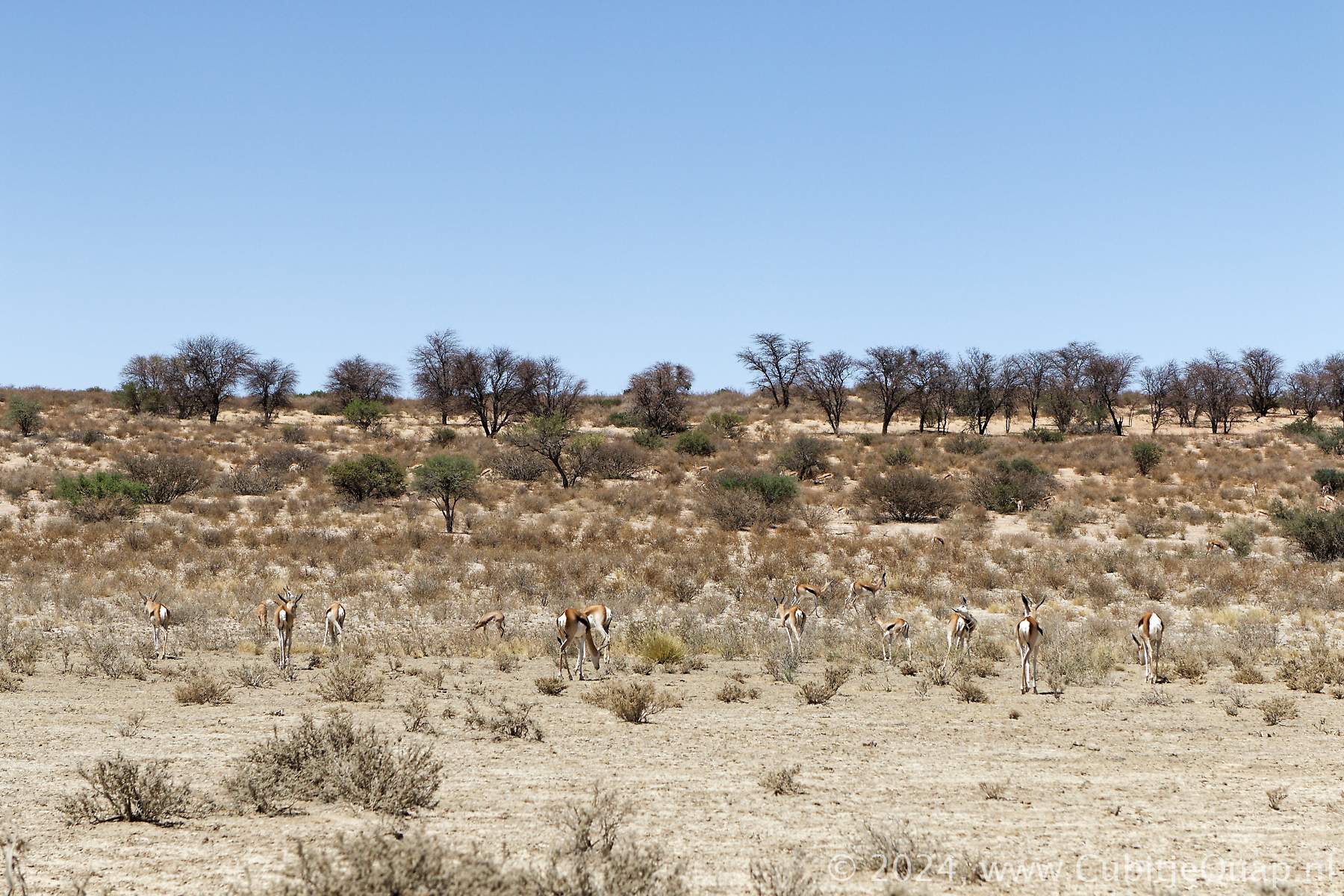
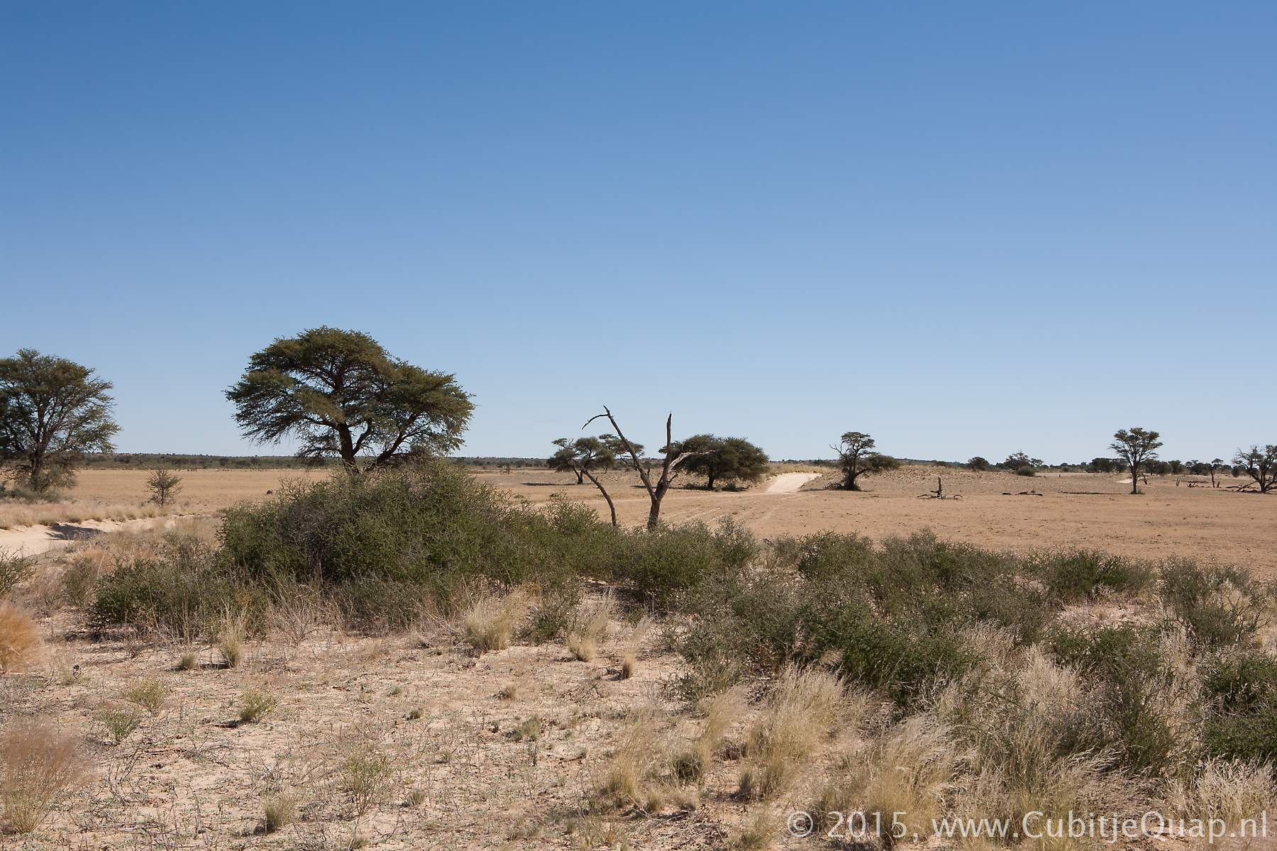
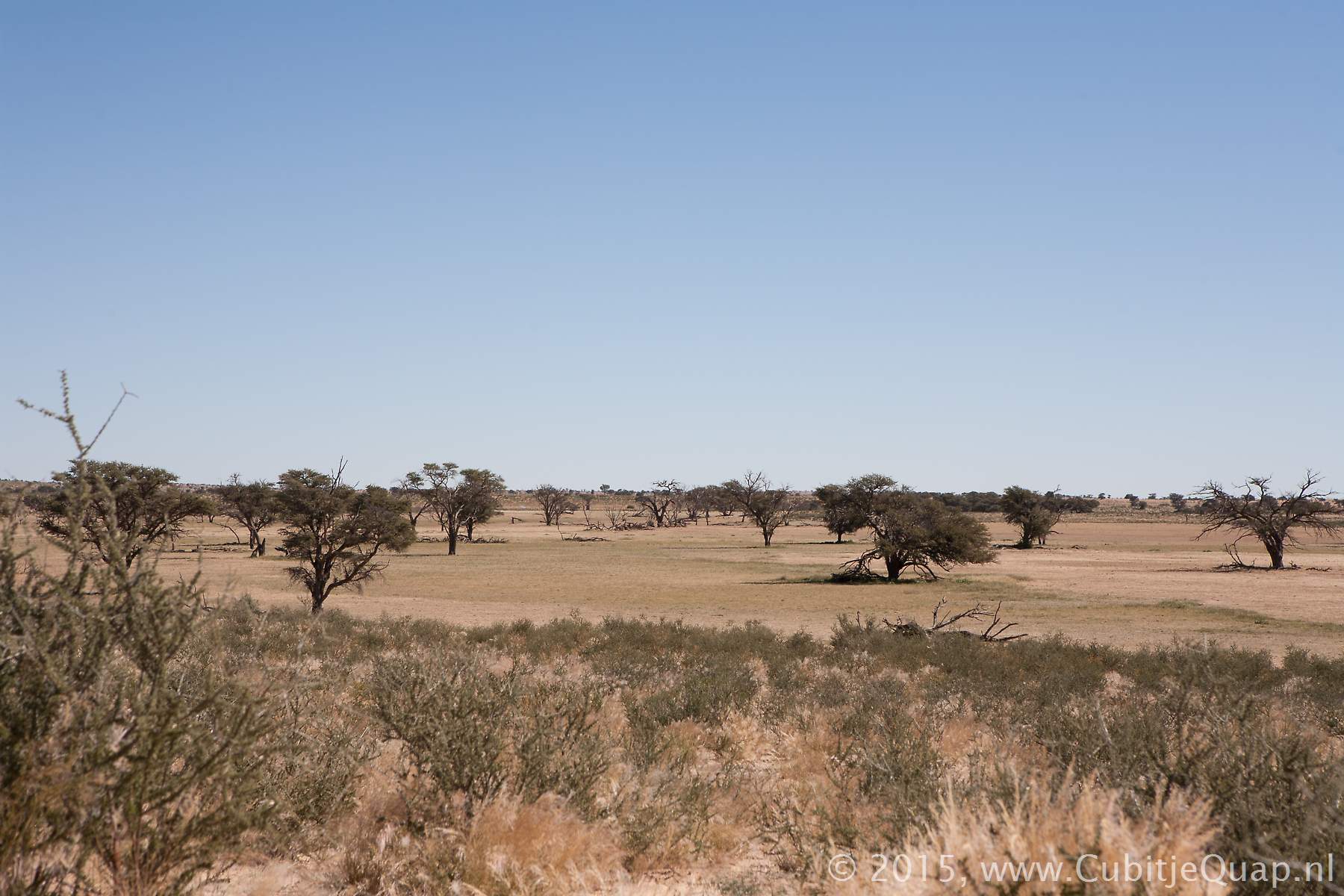
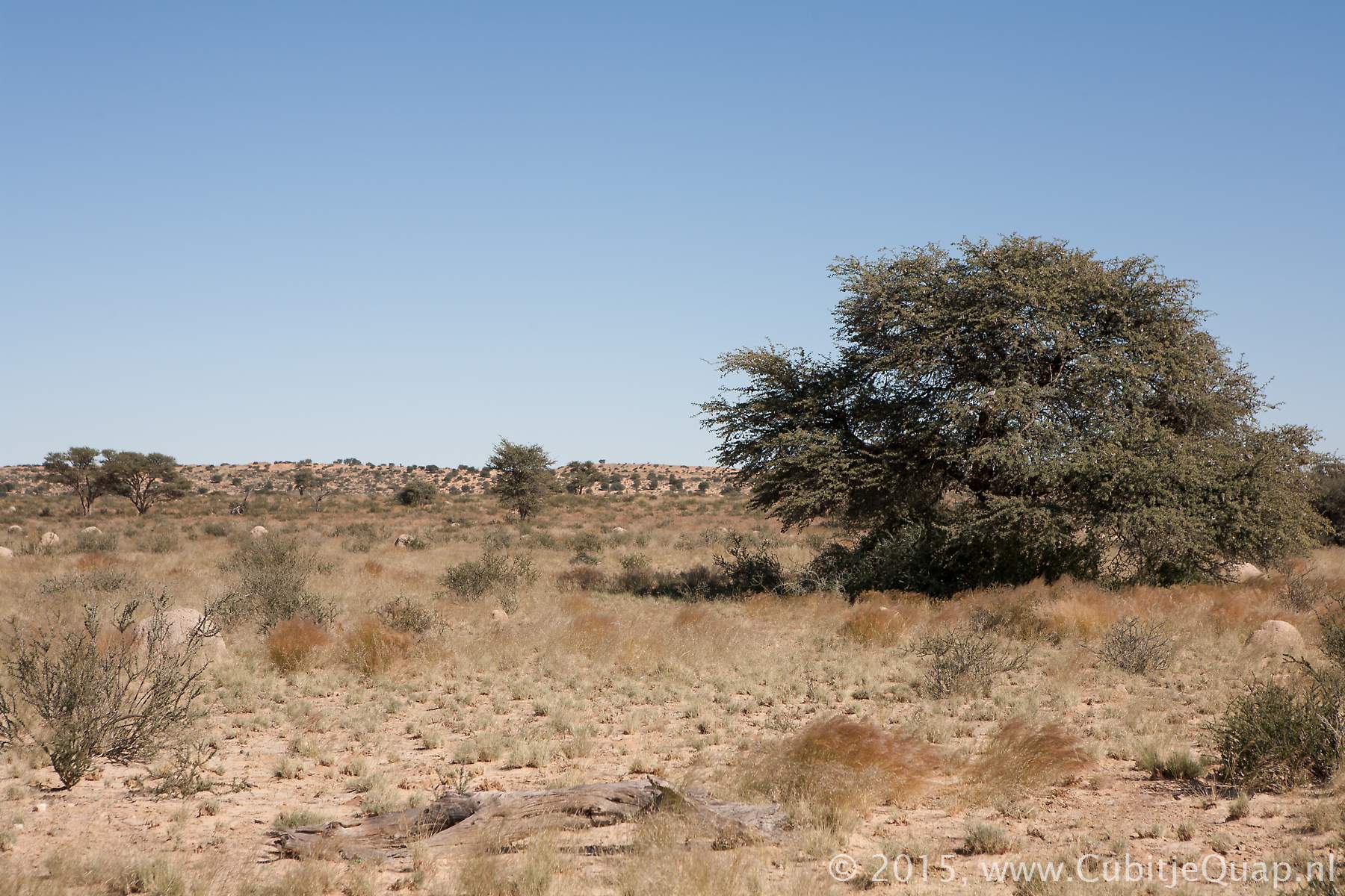
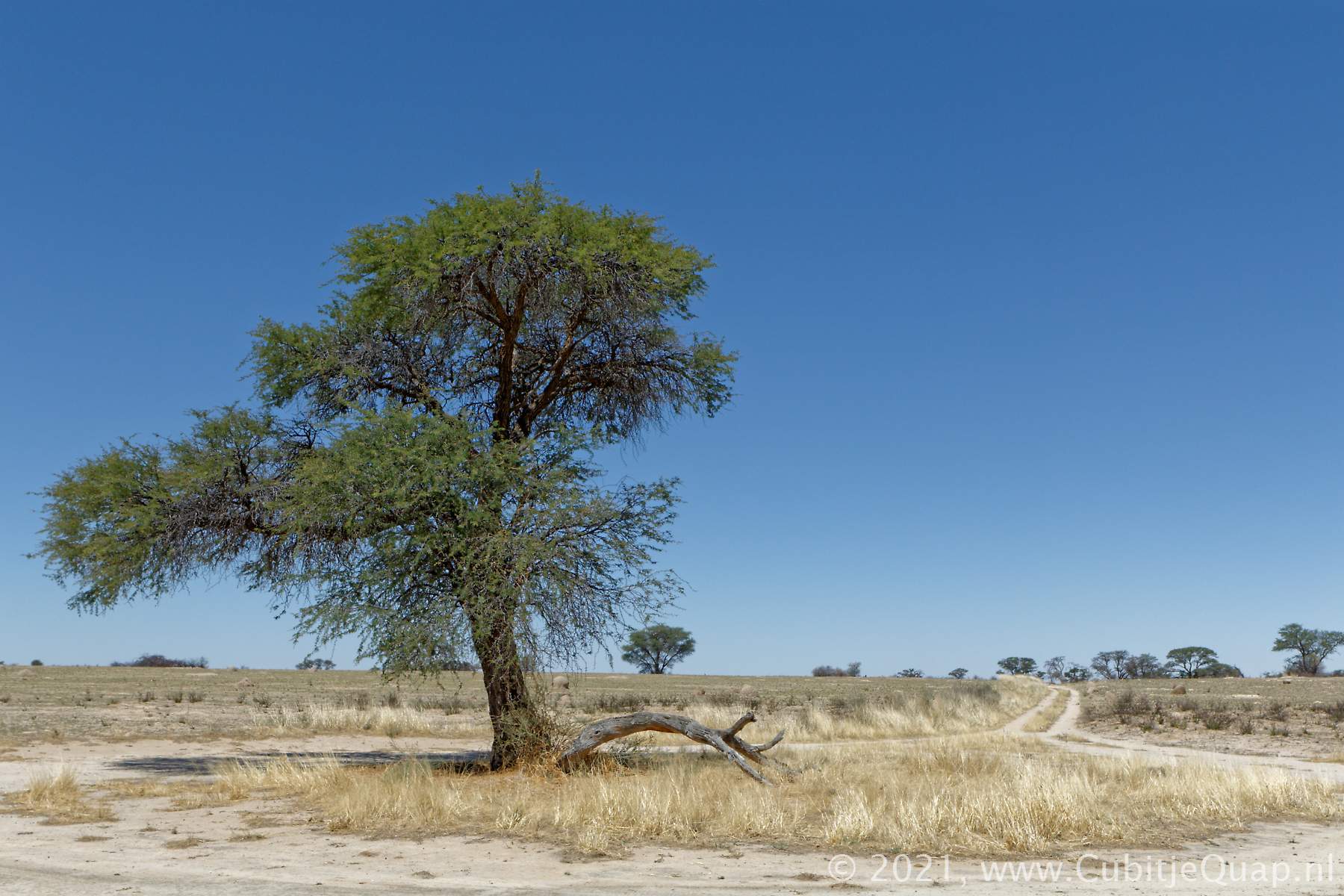
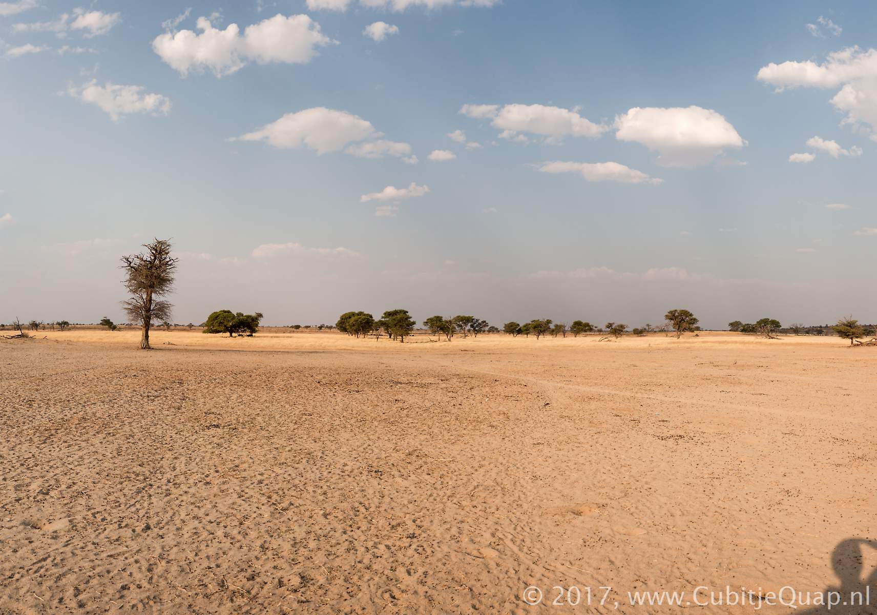
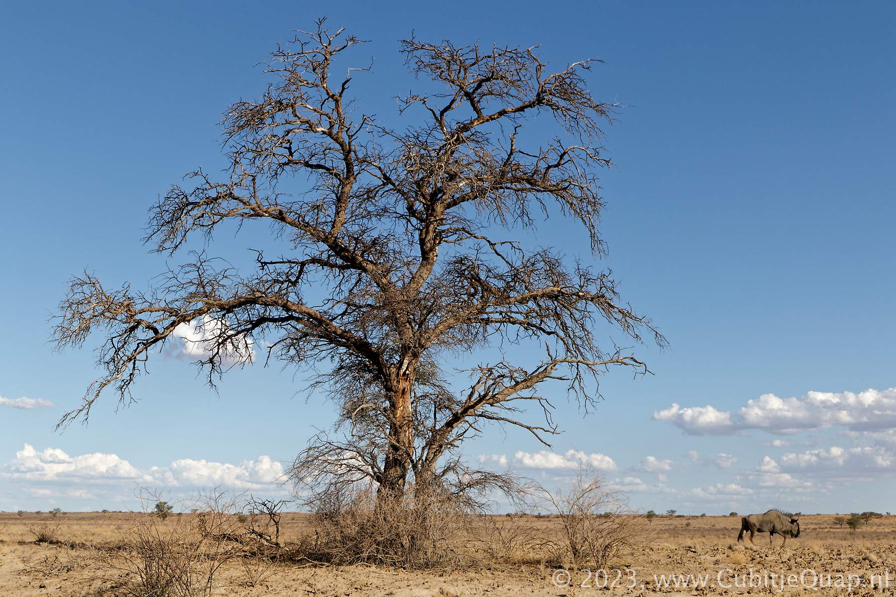
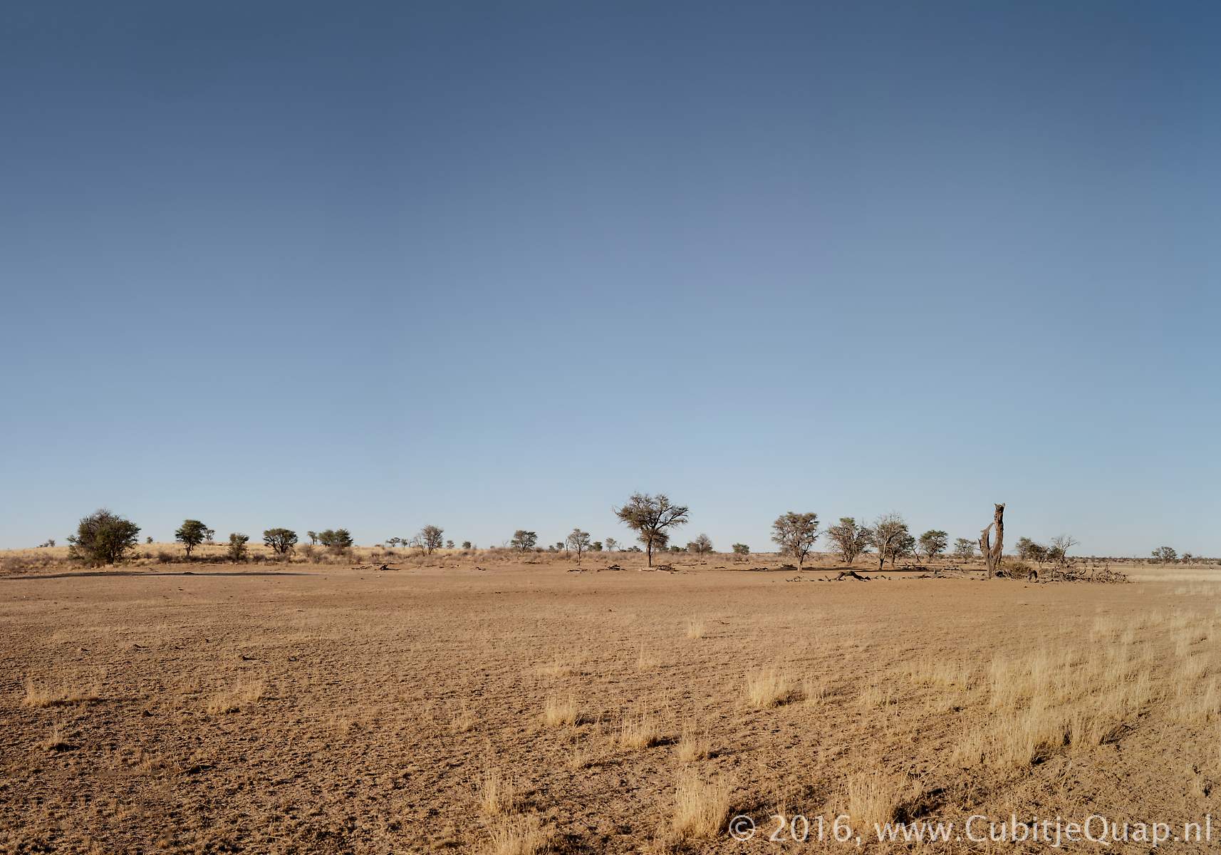
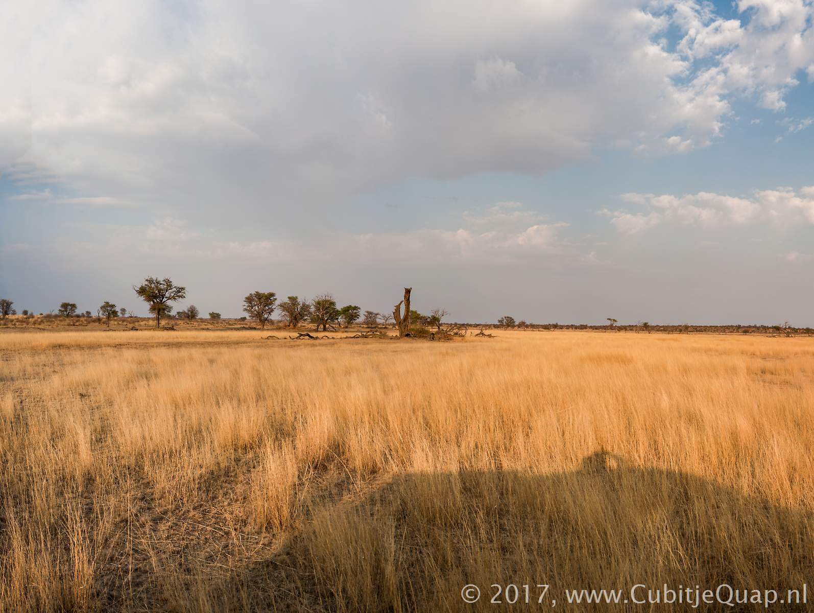
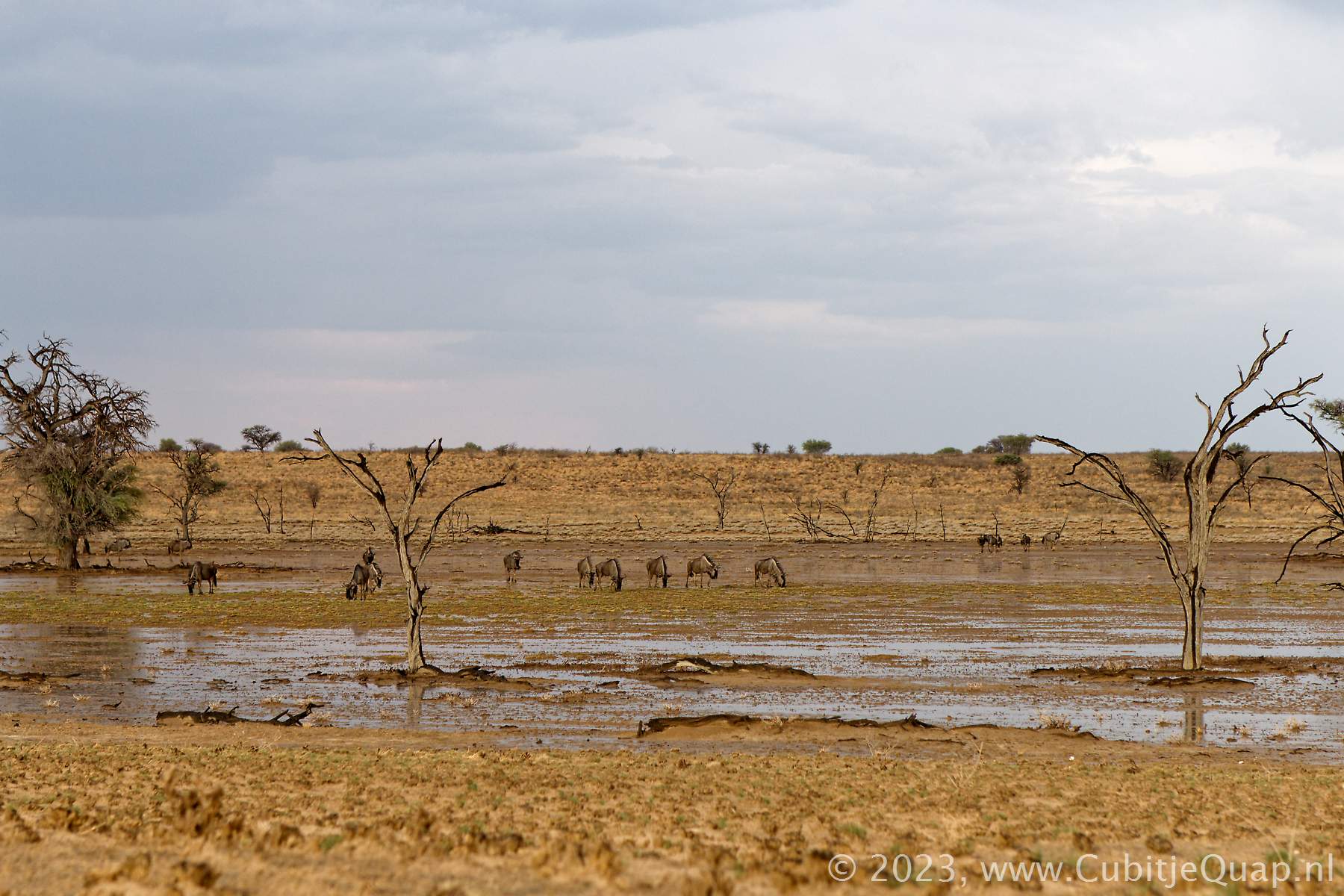
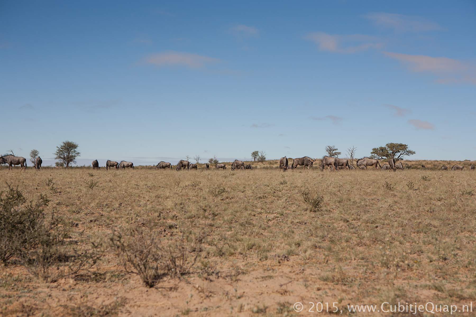
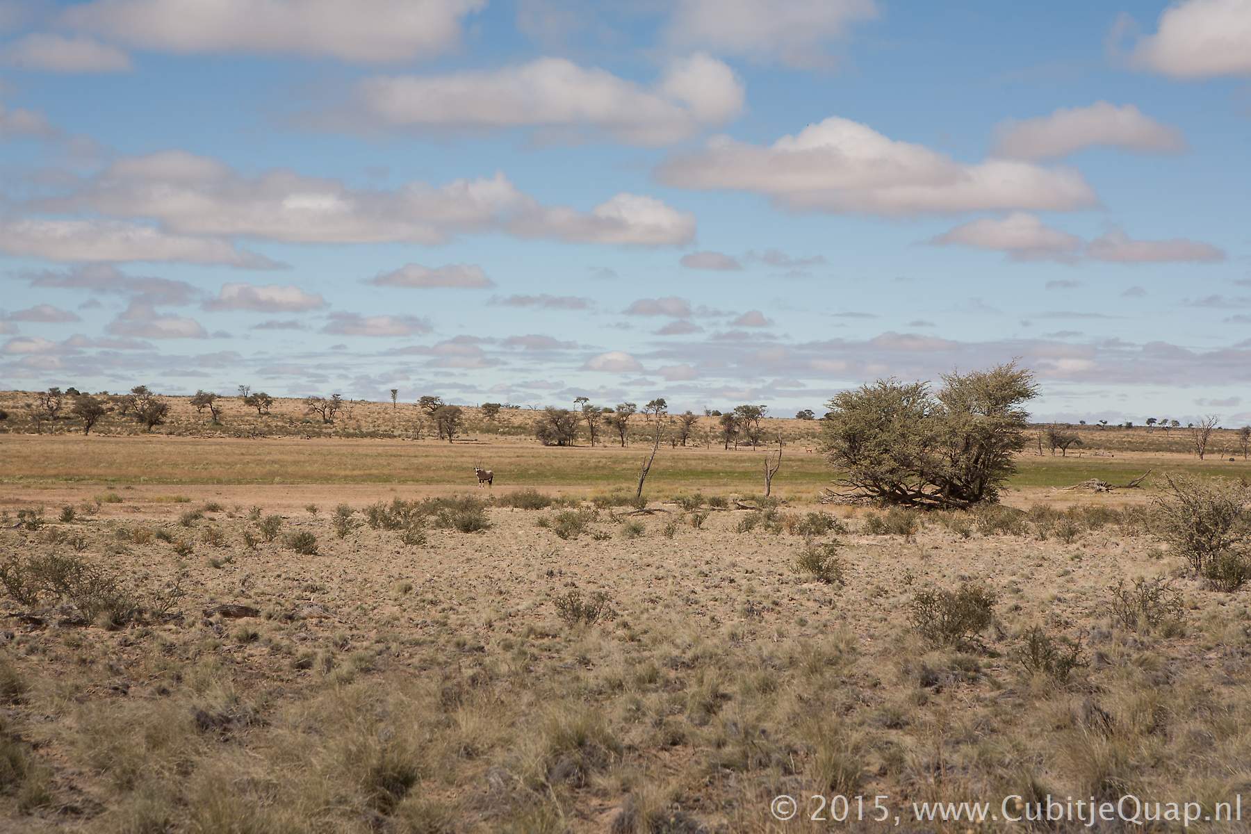
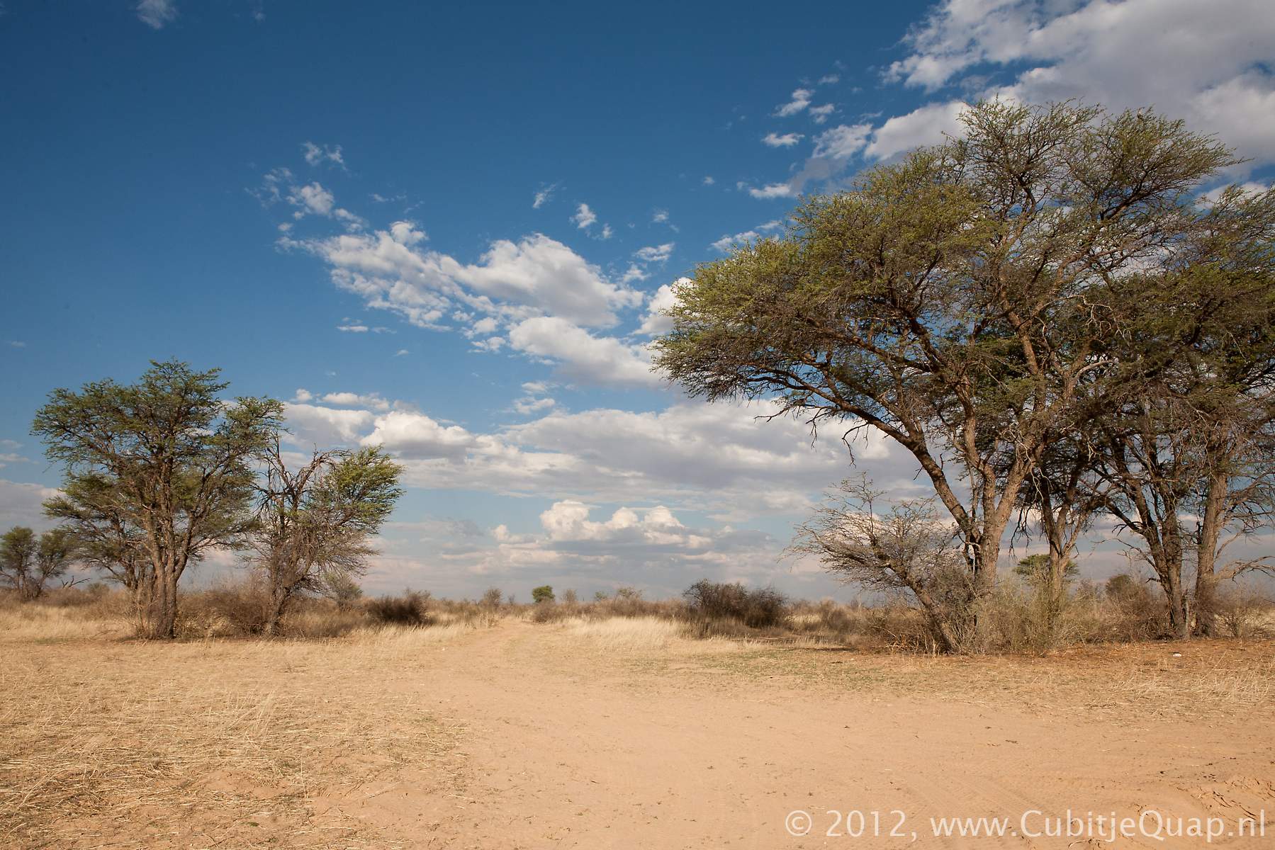
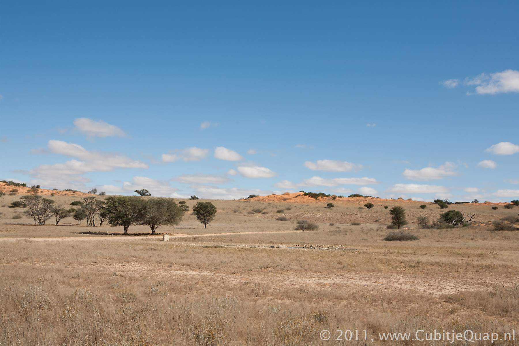
Up to Melkvlei the road is gavelled. Melkvlei picnicspot is situated north of the waterhole. The road north of Melkvlei is sometimes very sandy. The Nossob river is on the right. Here also trees and scrubs coves the riverbed.At Jan se Draai waterhole you will often find groups of gemsbok. Dikbaardskolk picnicspot is a populari site for eating lunch and a few kilometers to the north, Dikbaardskolk waterhole can be seen in the riverbed.
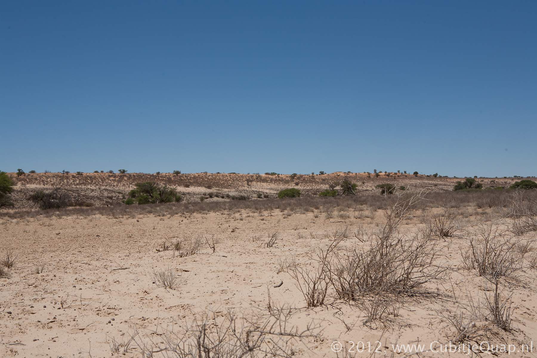
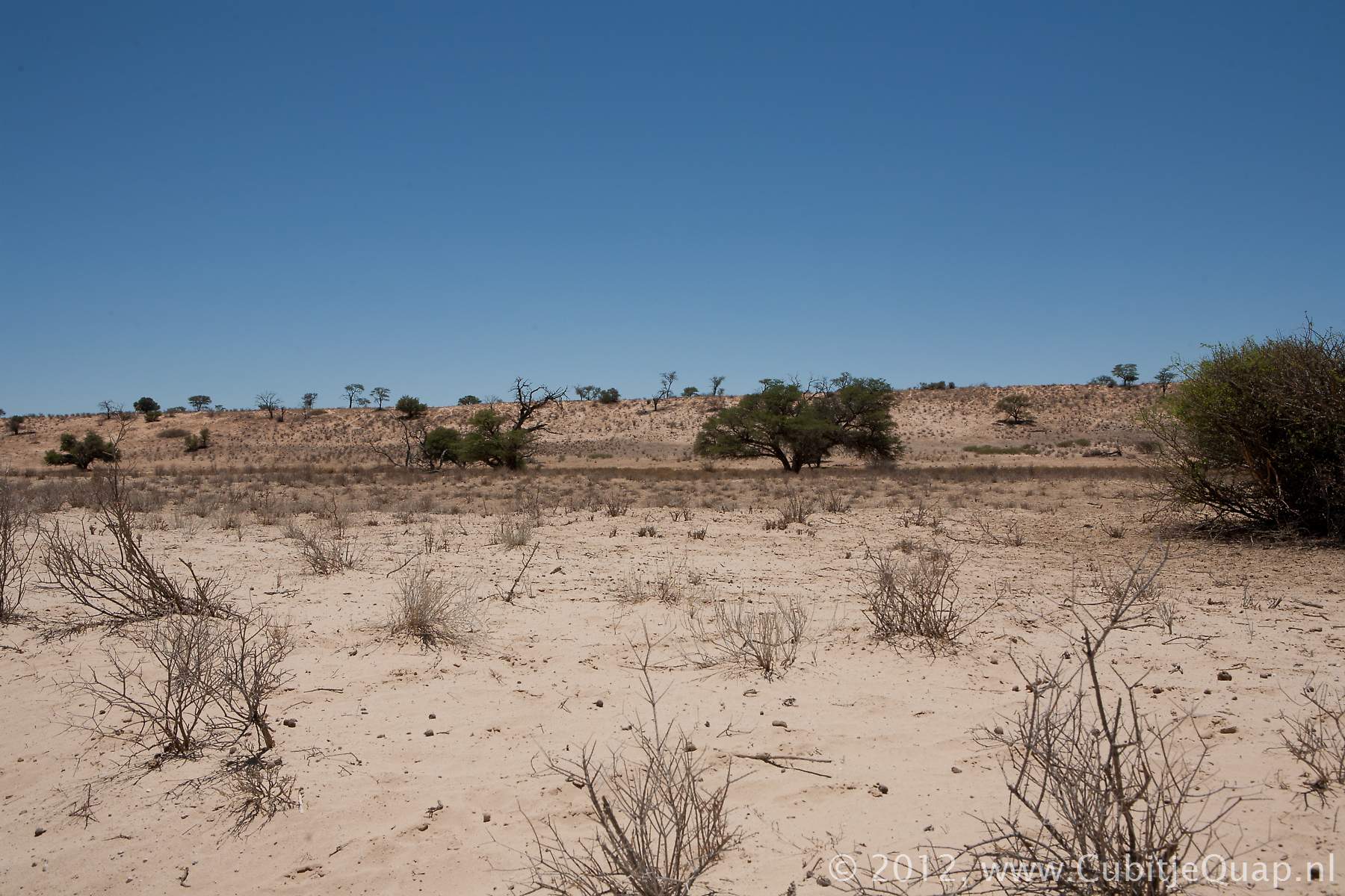
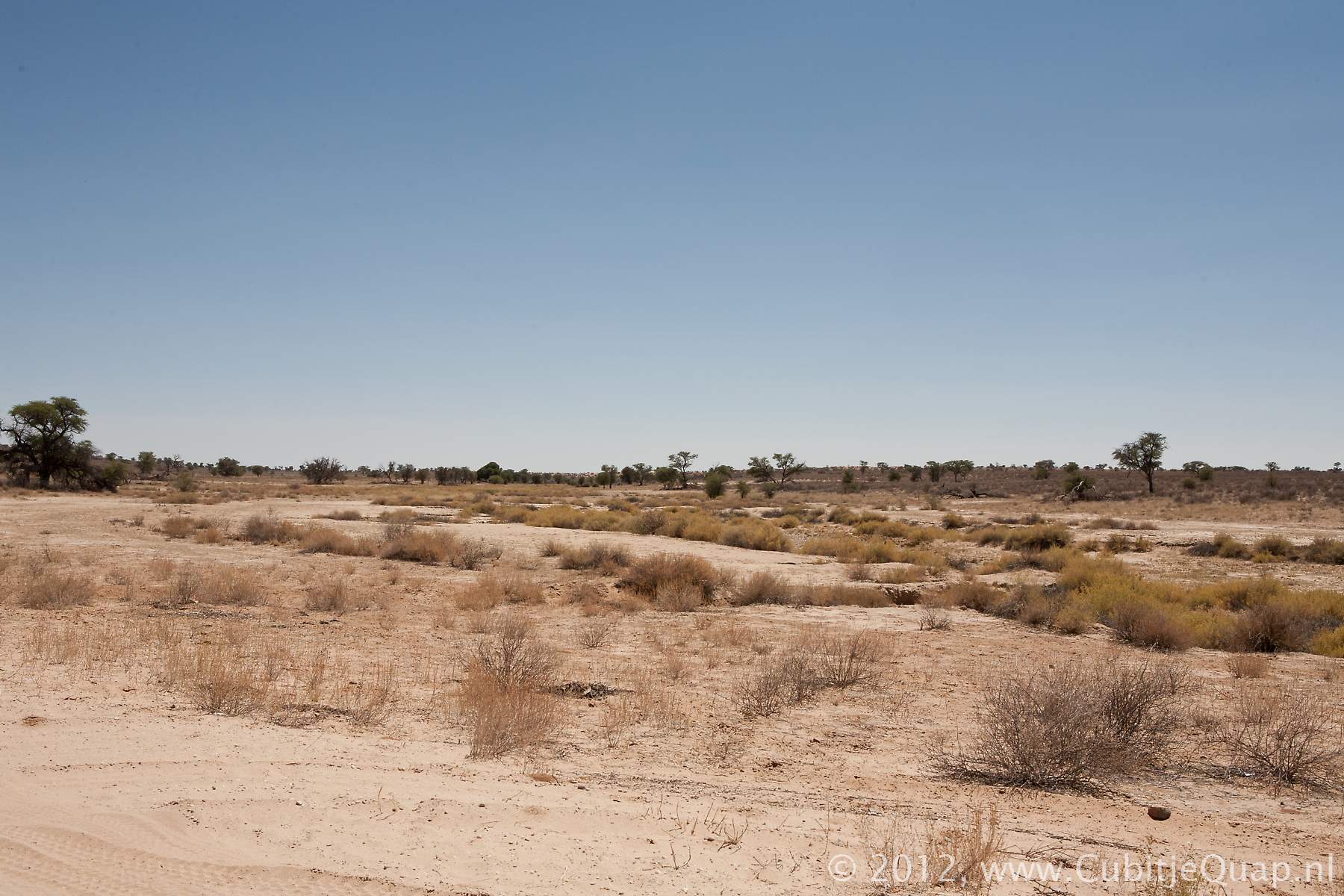
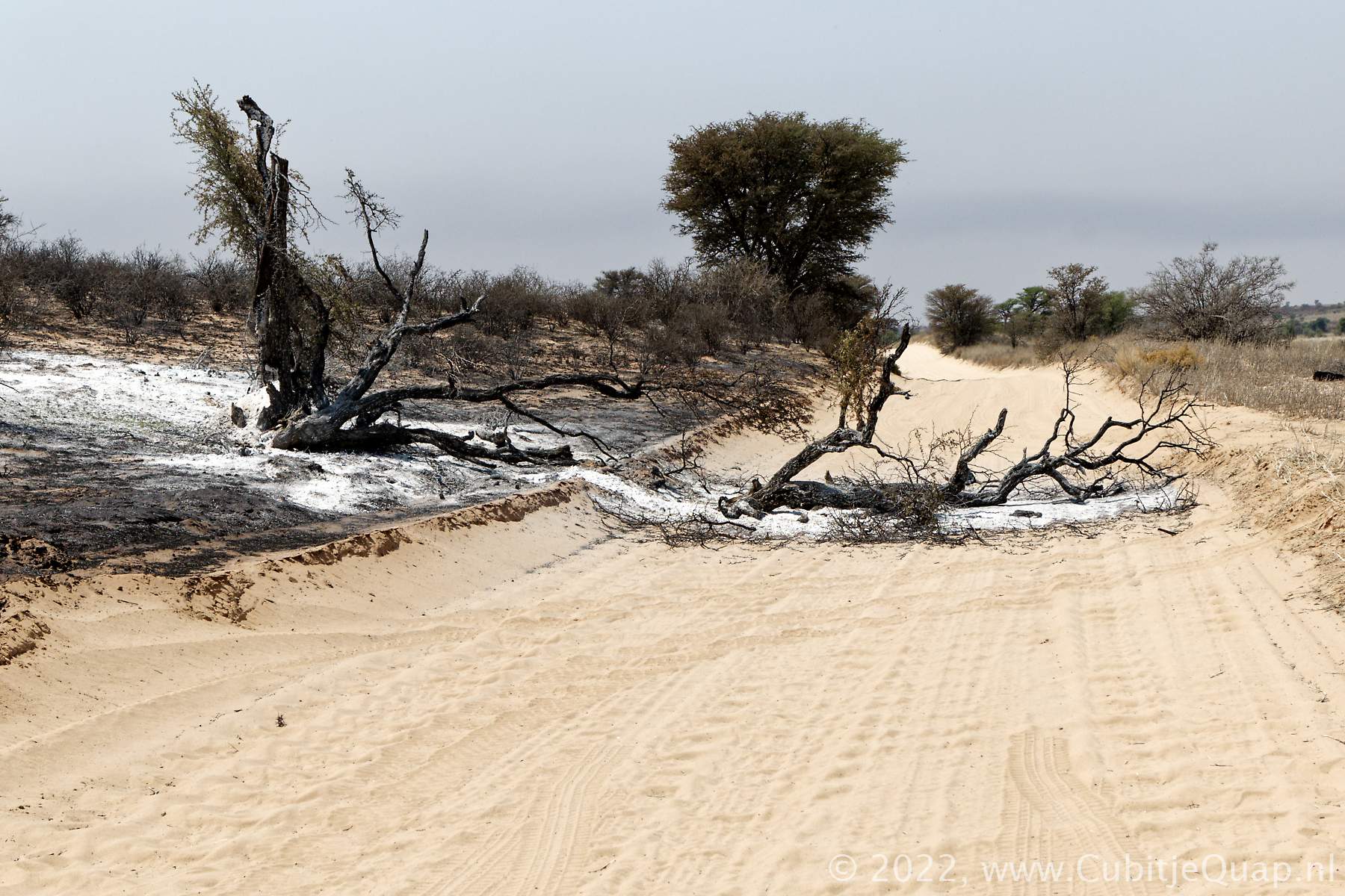
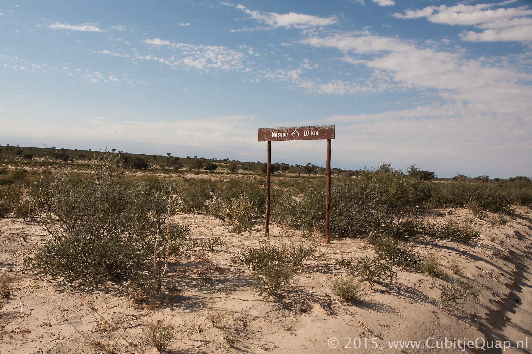
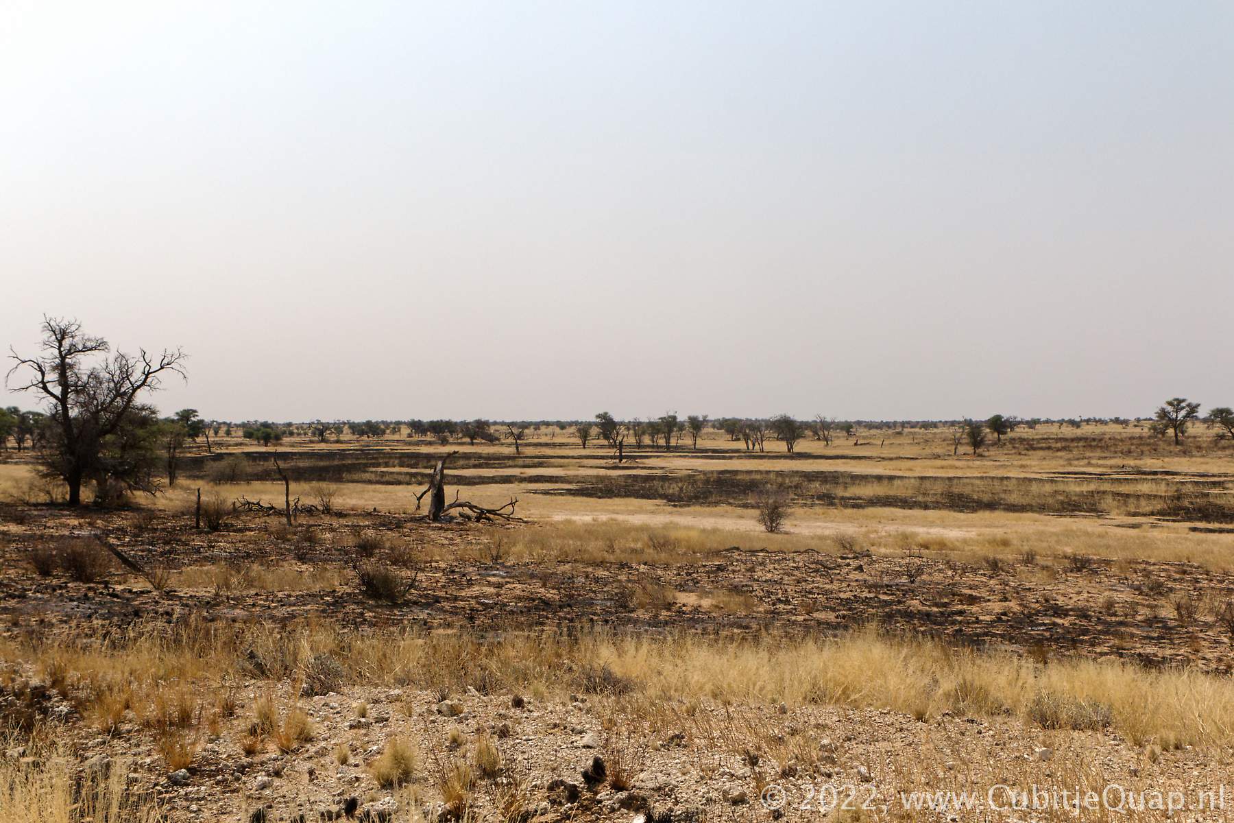
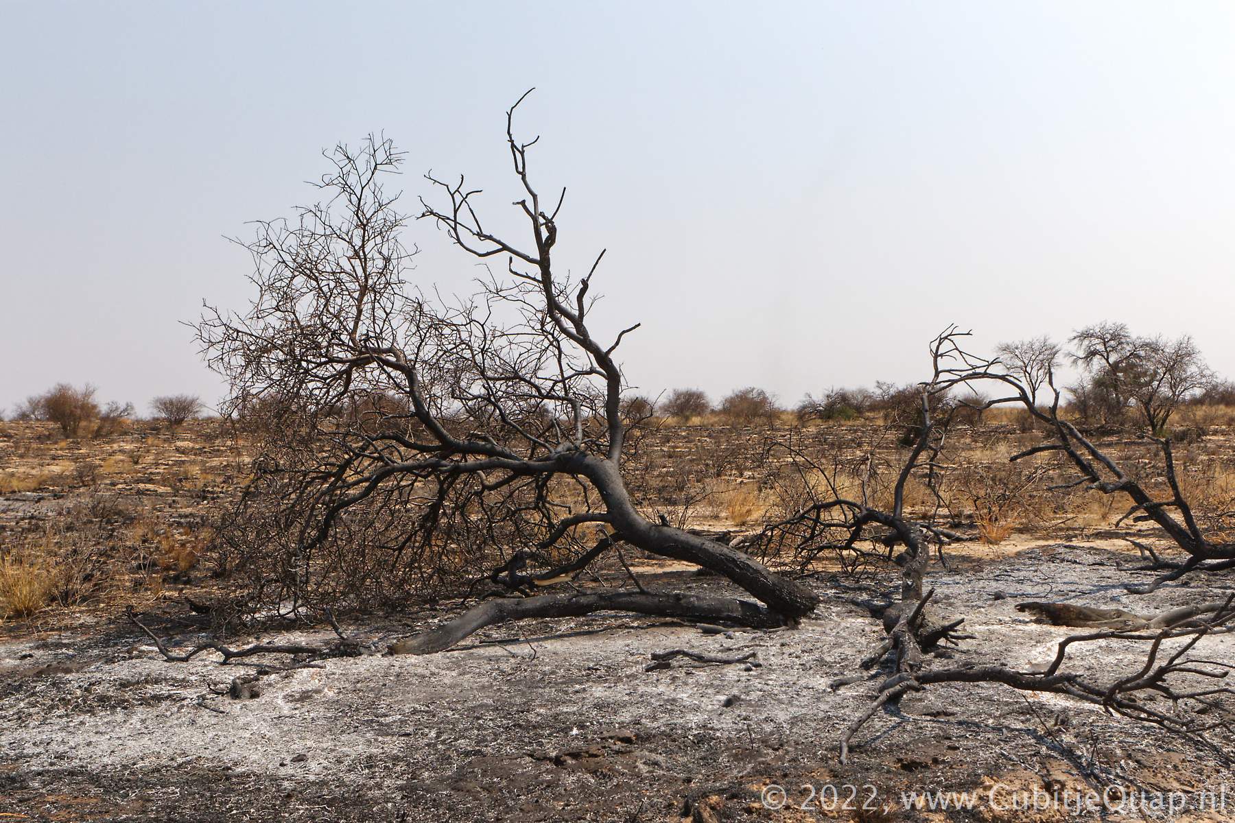
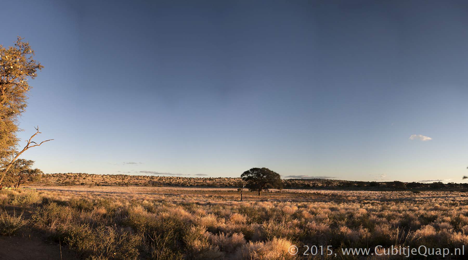
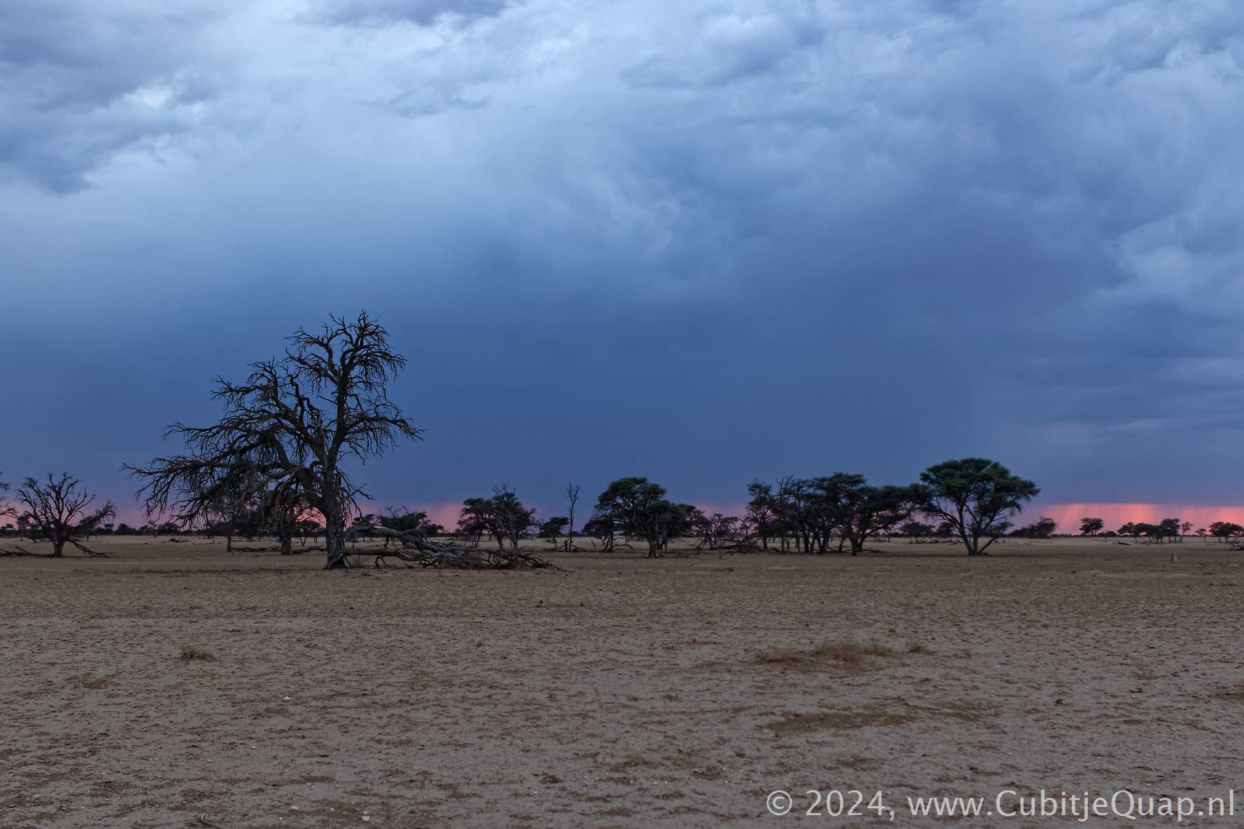
Dikbaardskolk to Nossob
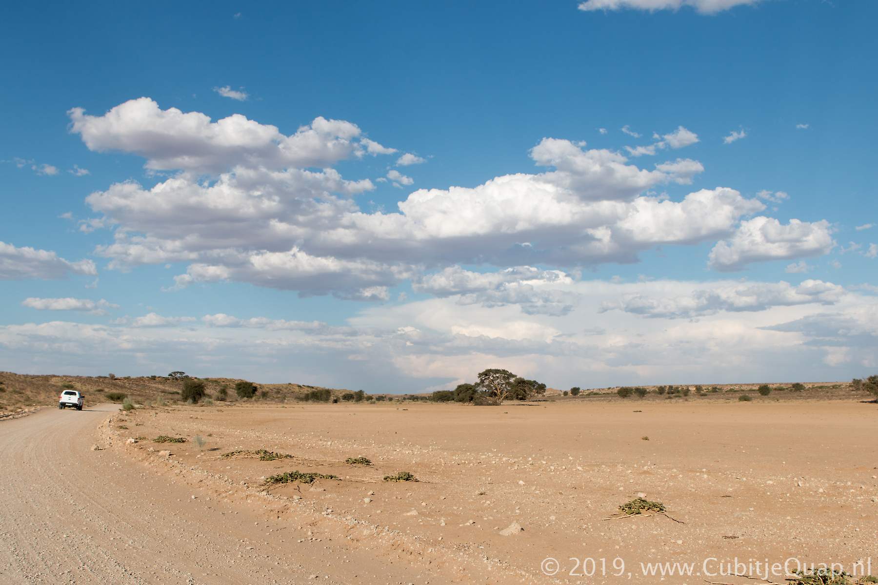
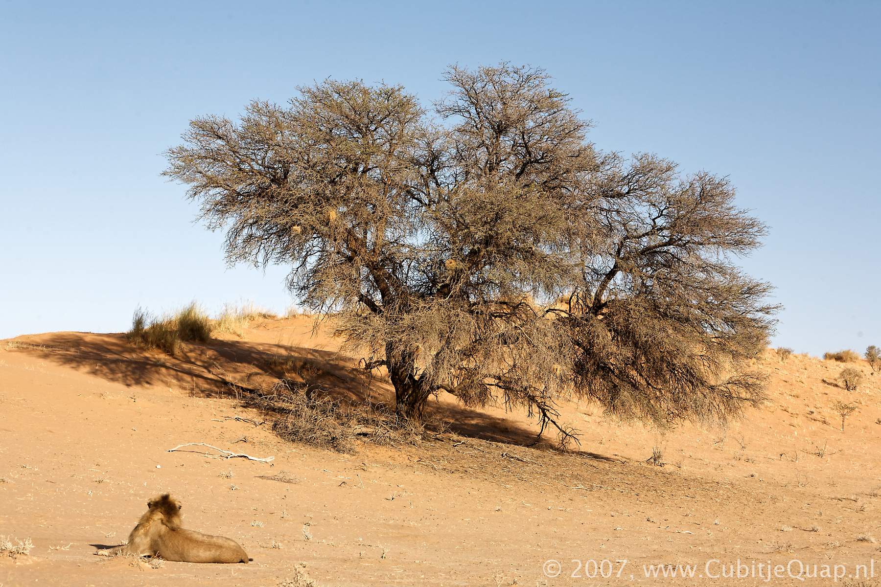
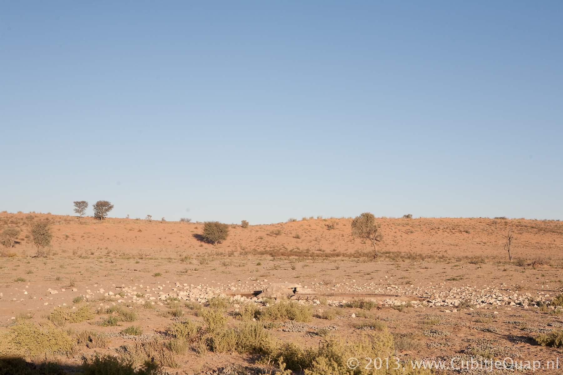
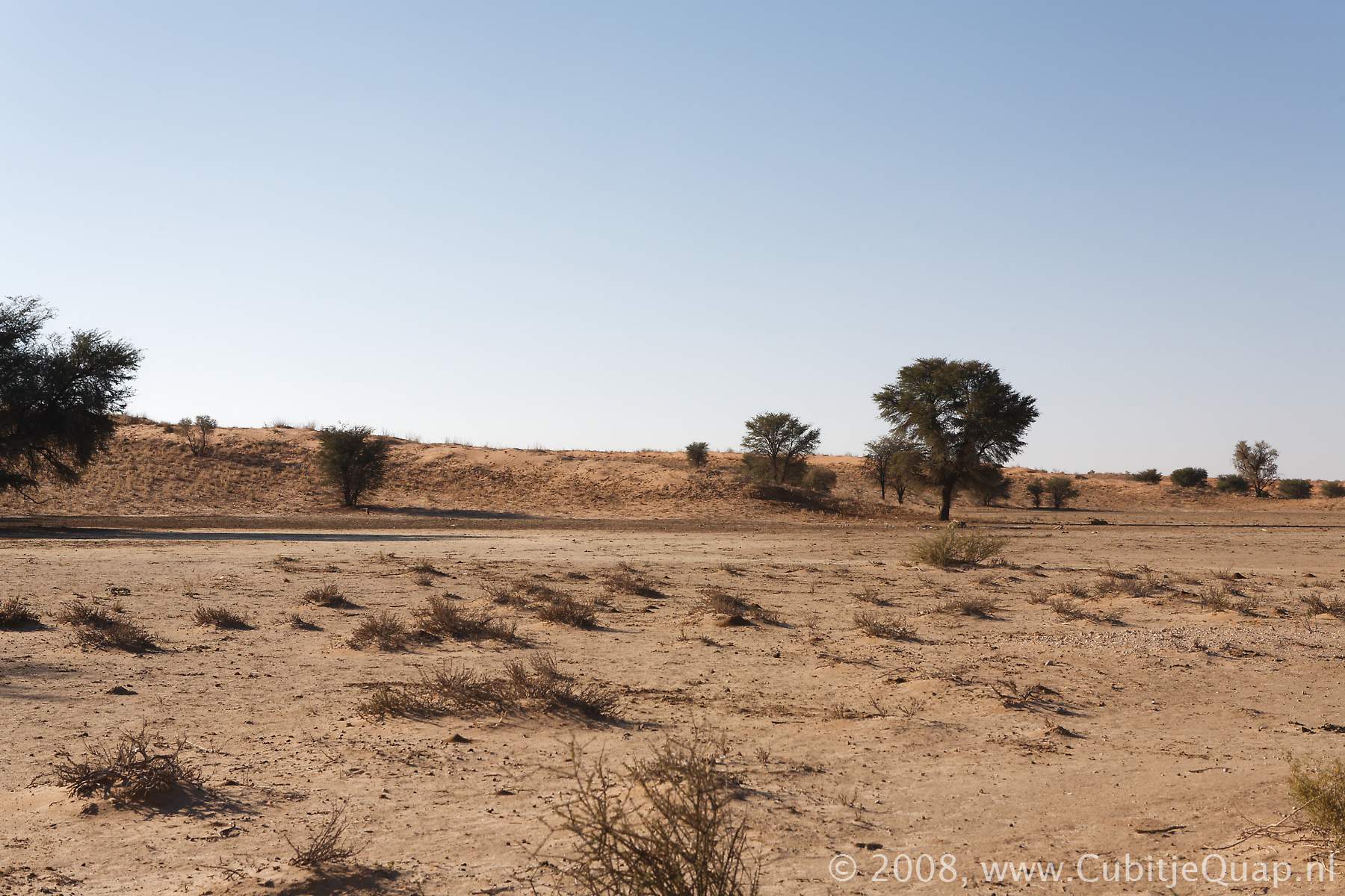
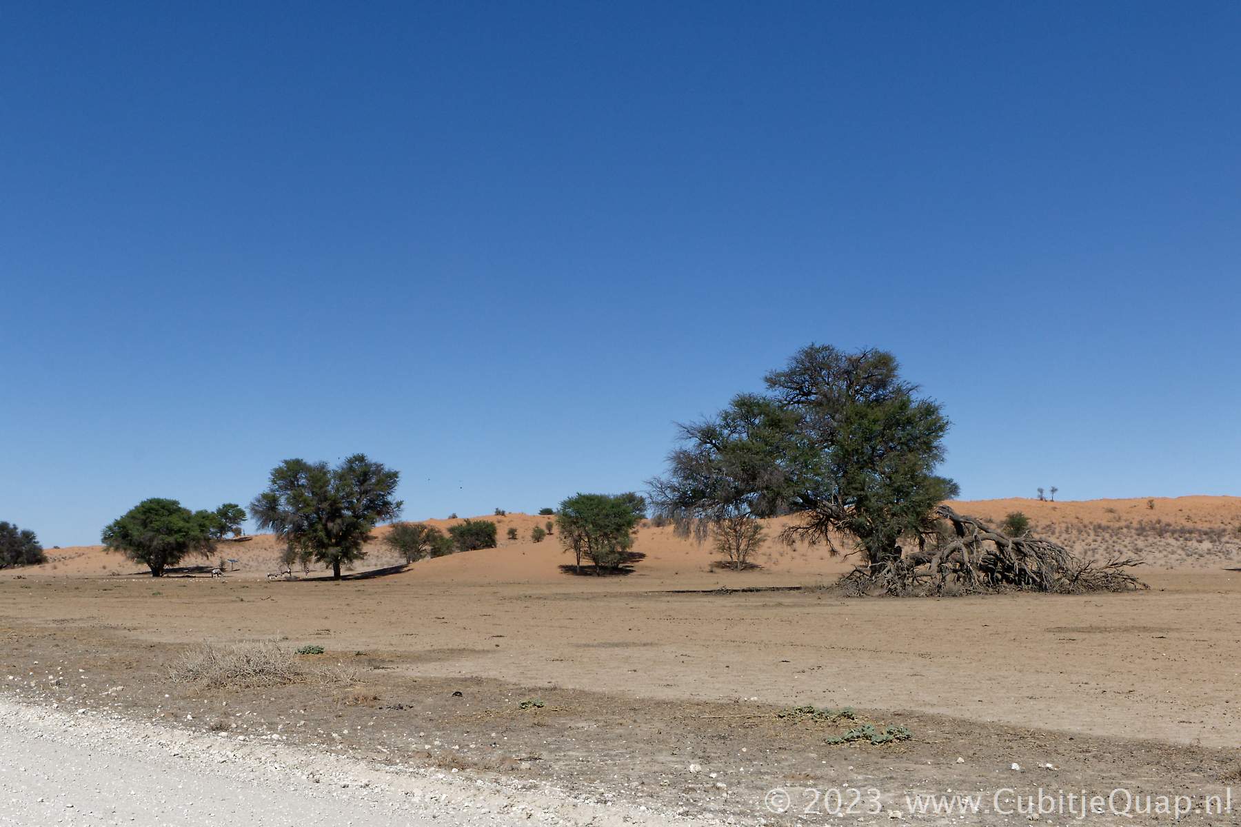
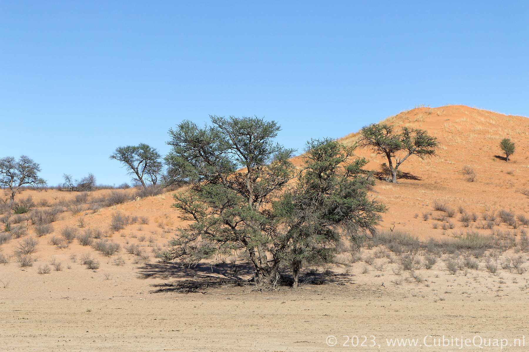
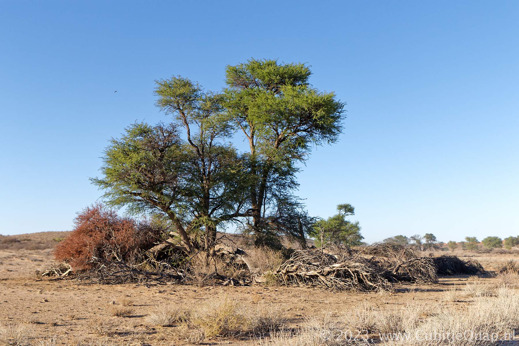
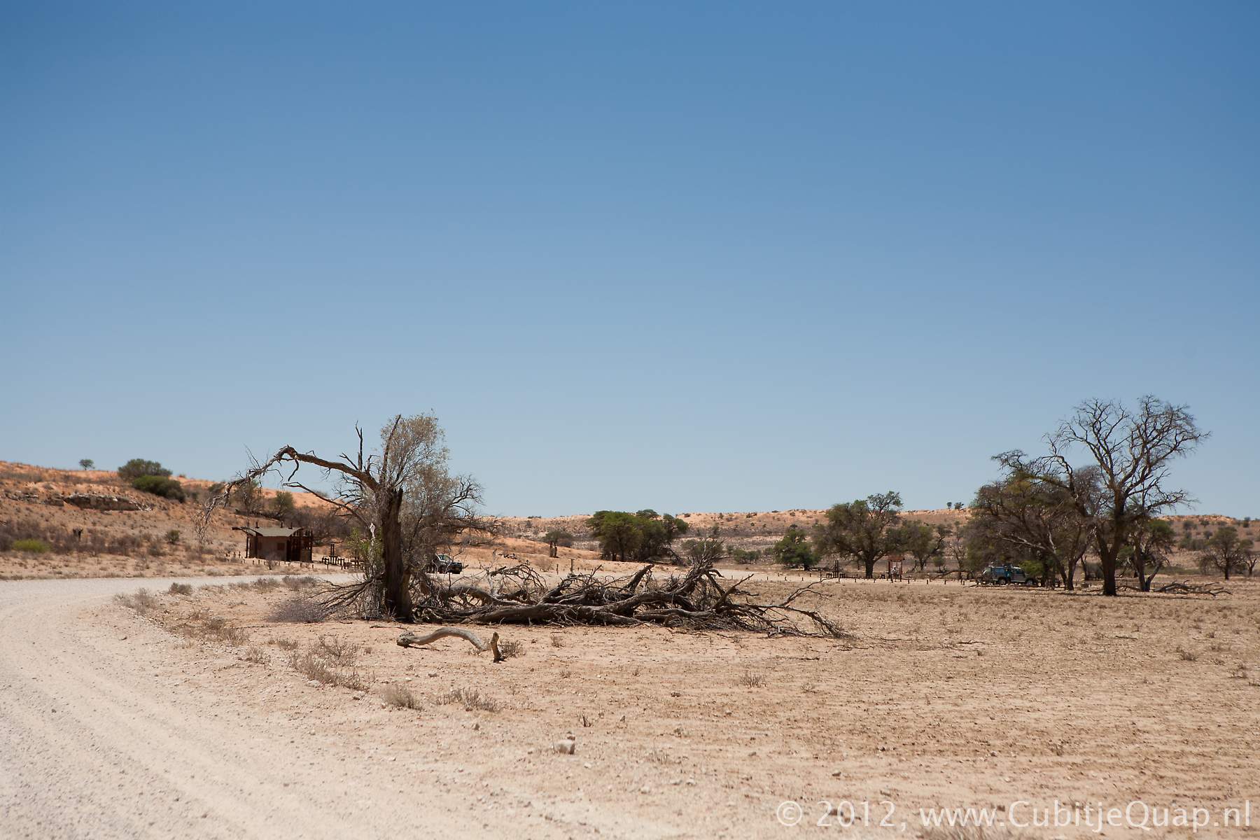
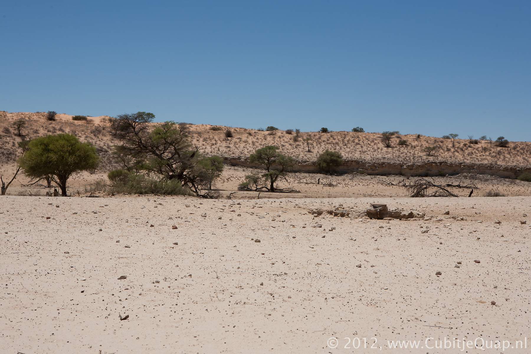
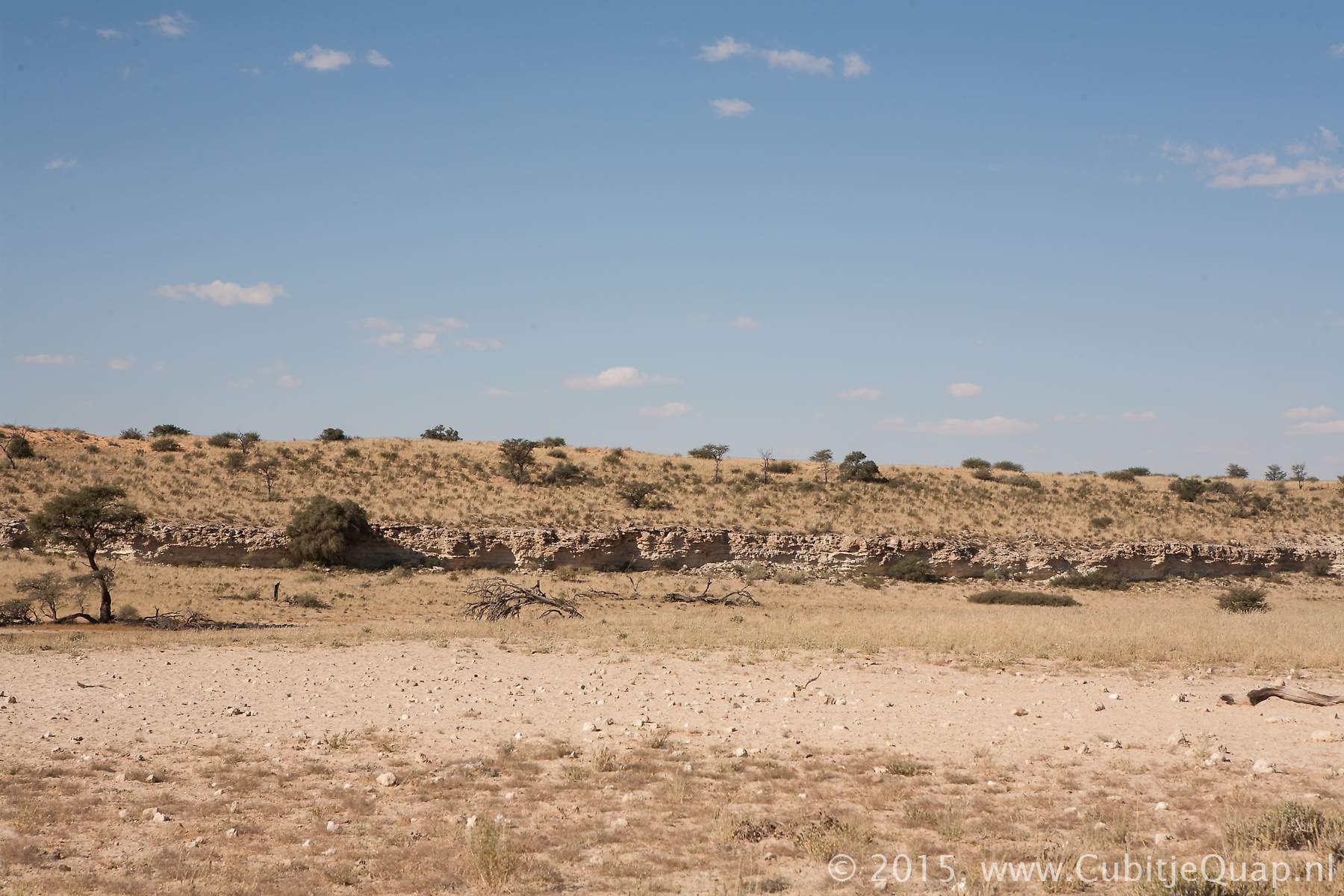
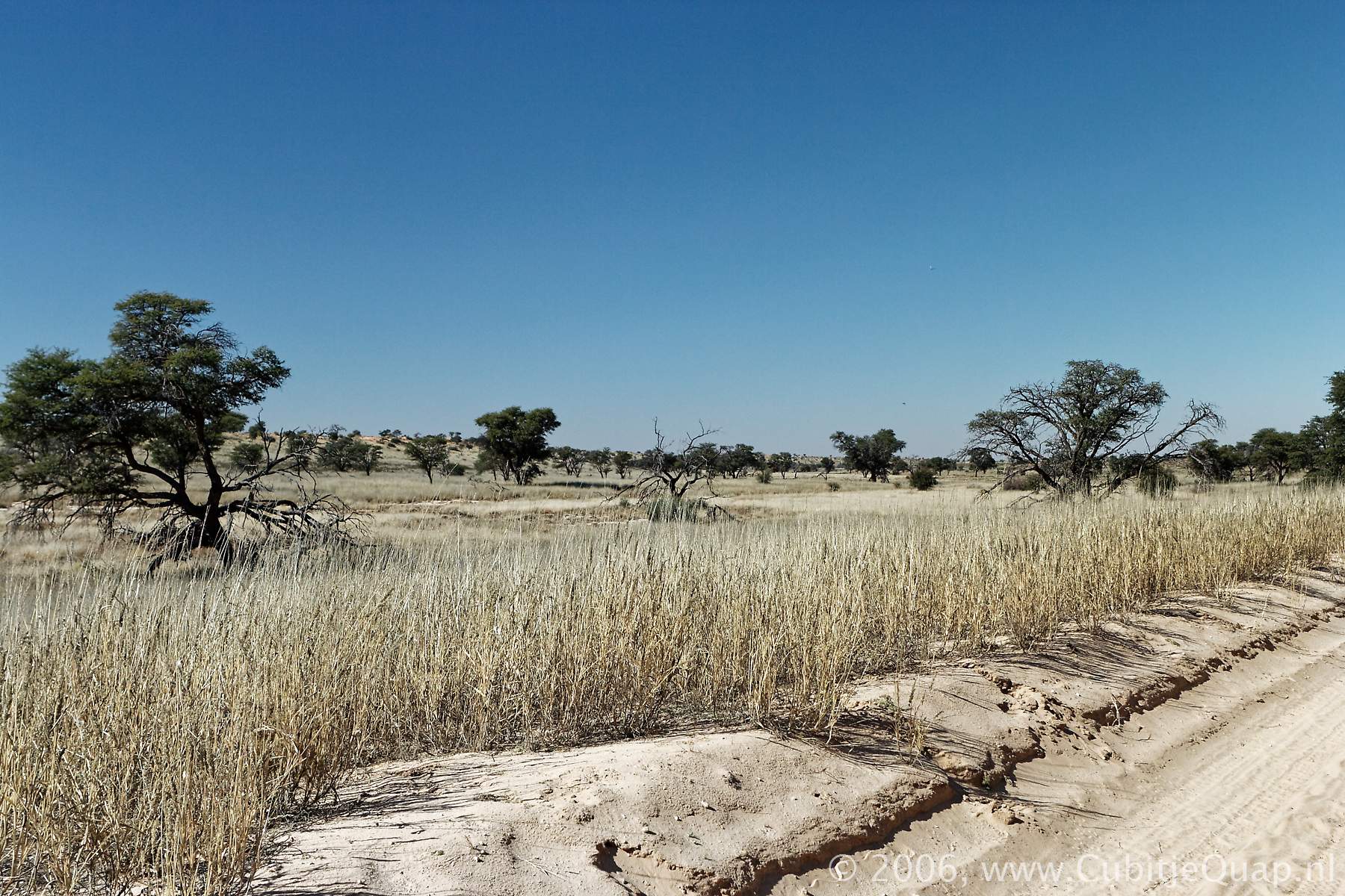
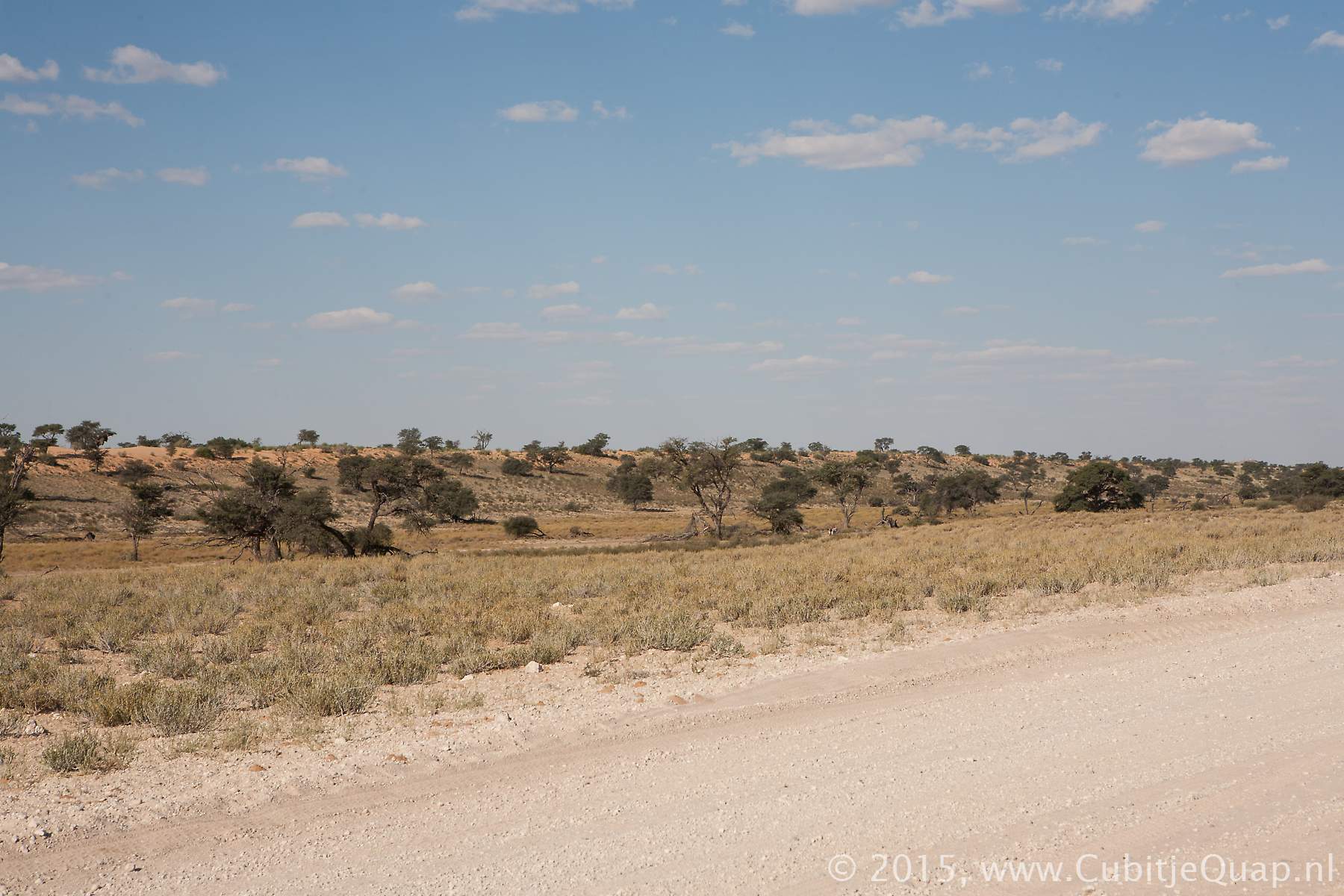
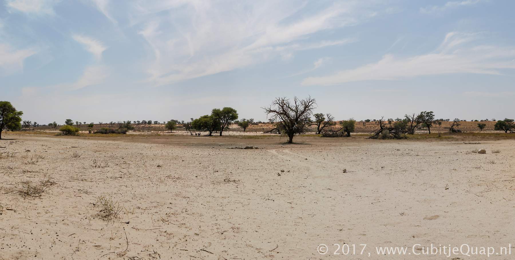
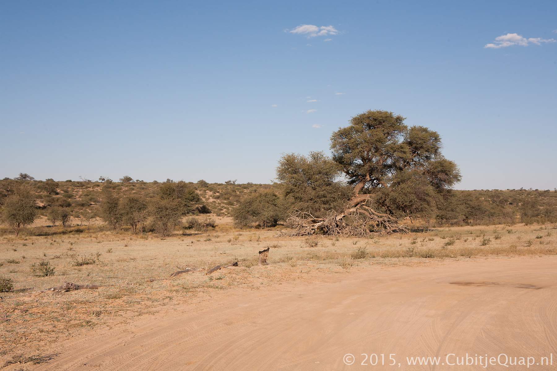
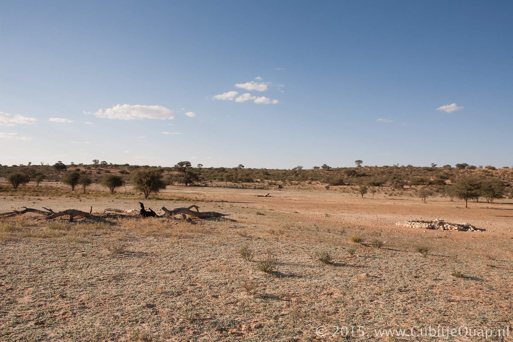
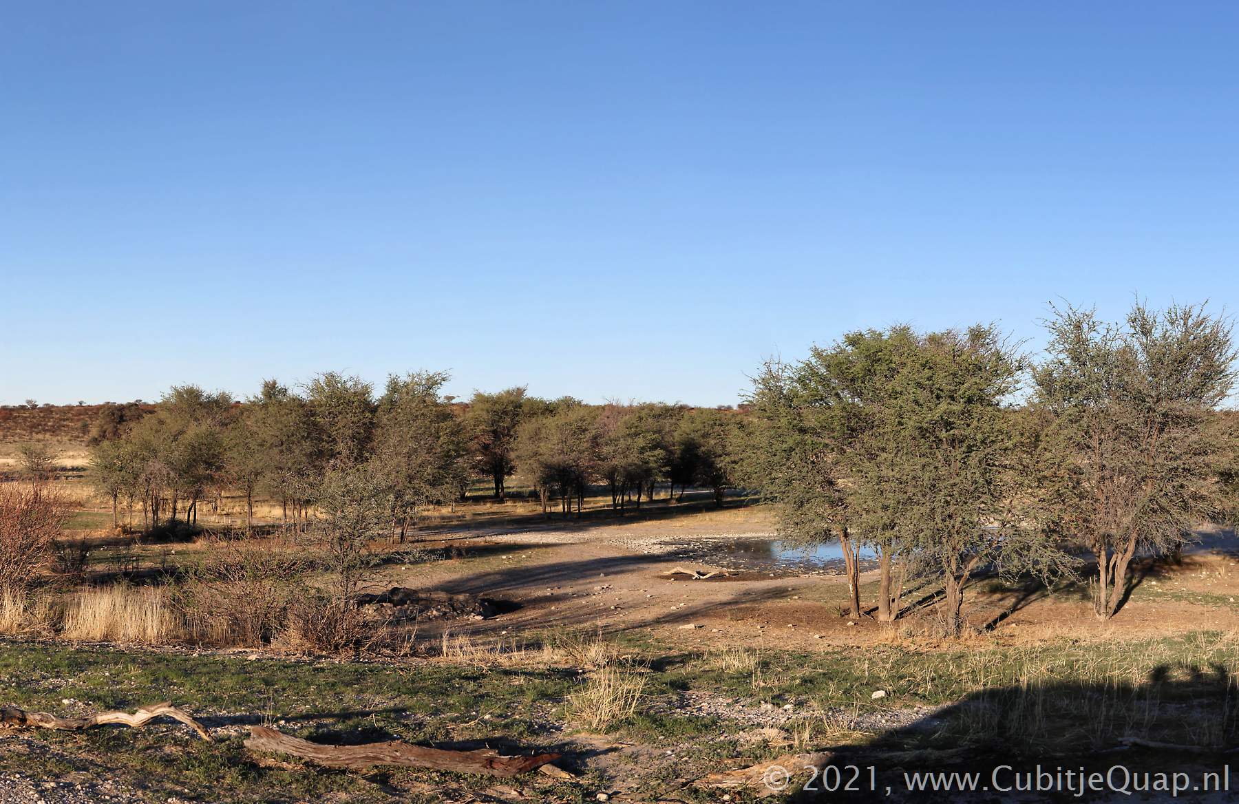
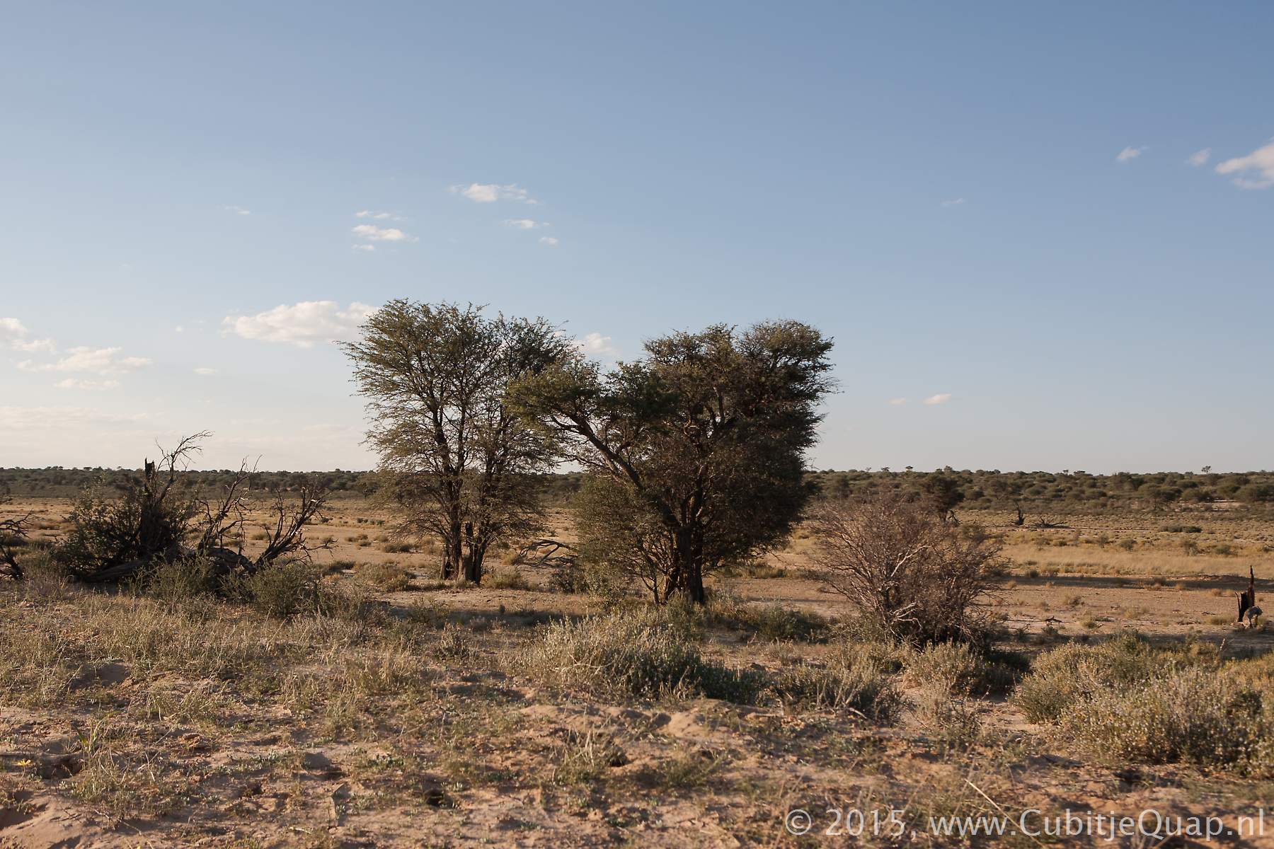
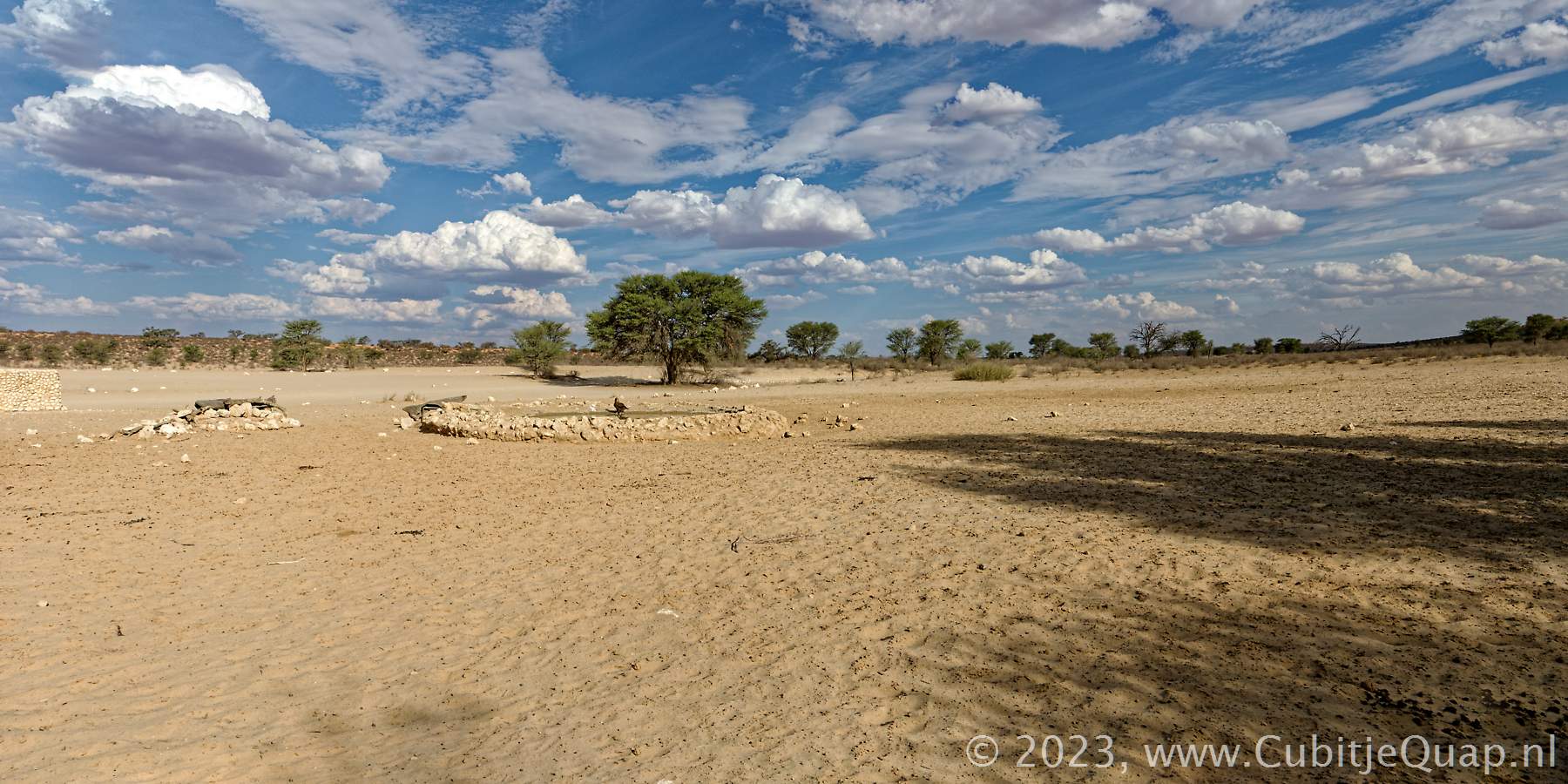
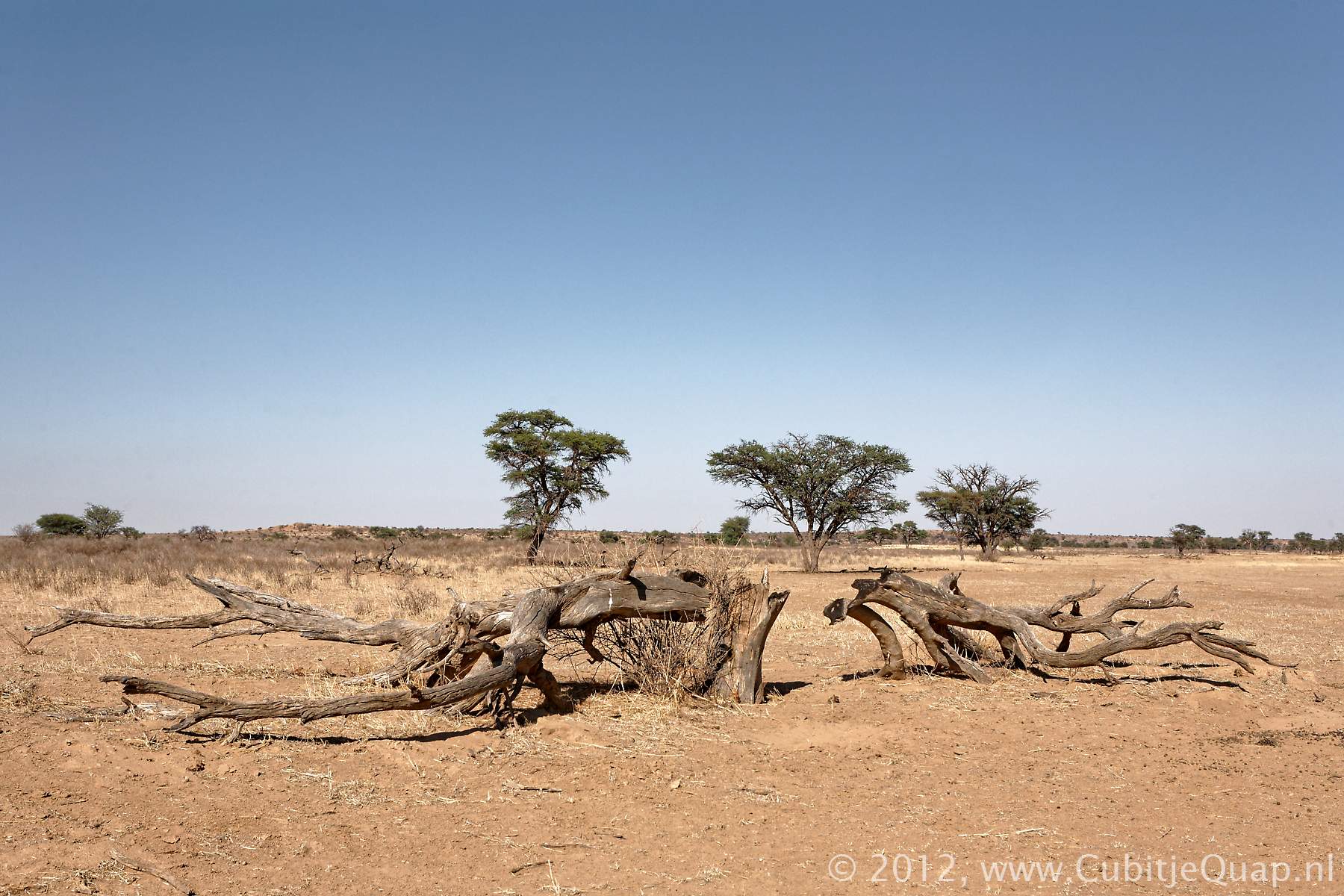
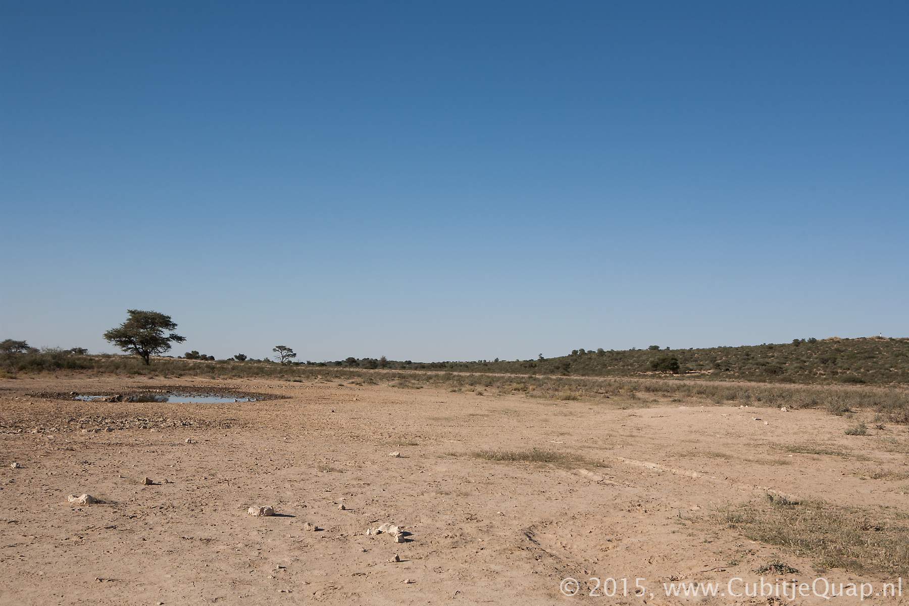
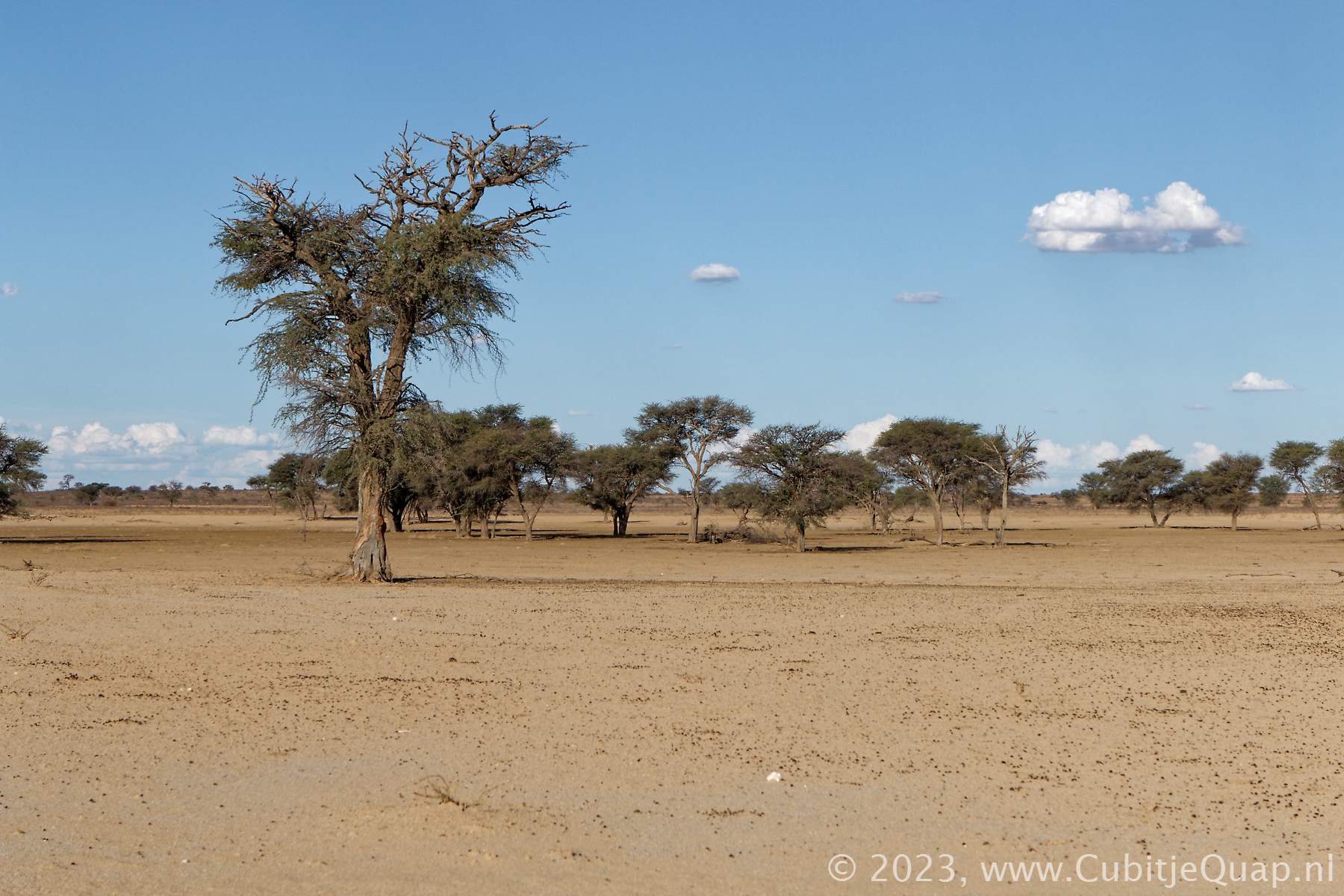
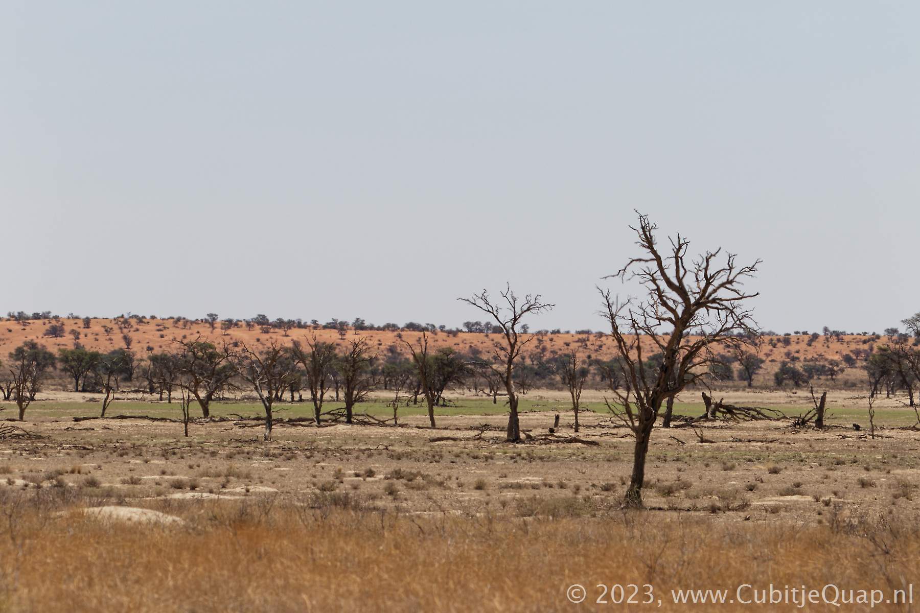
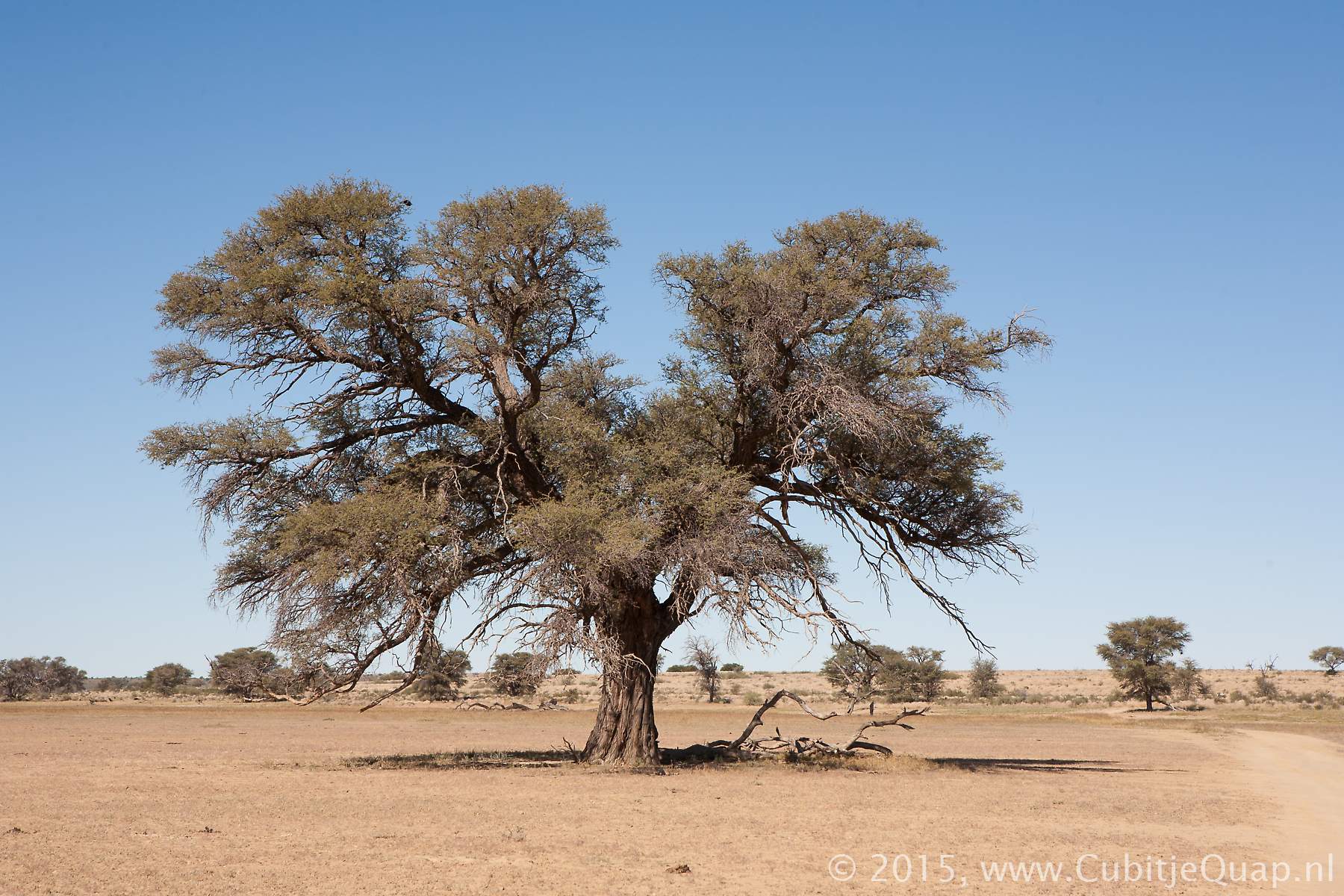
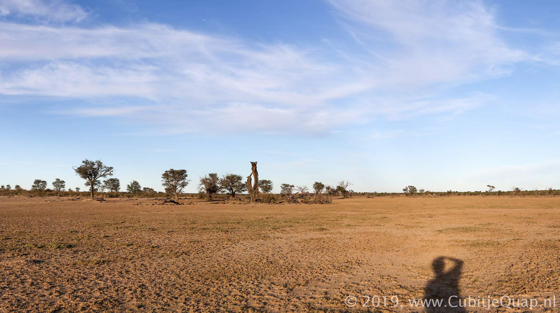
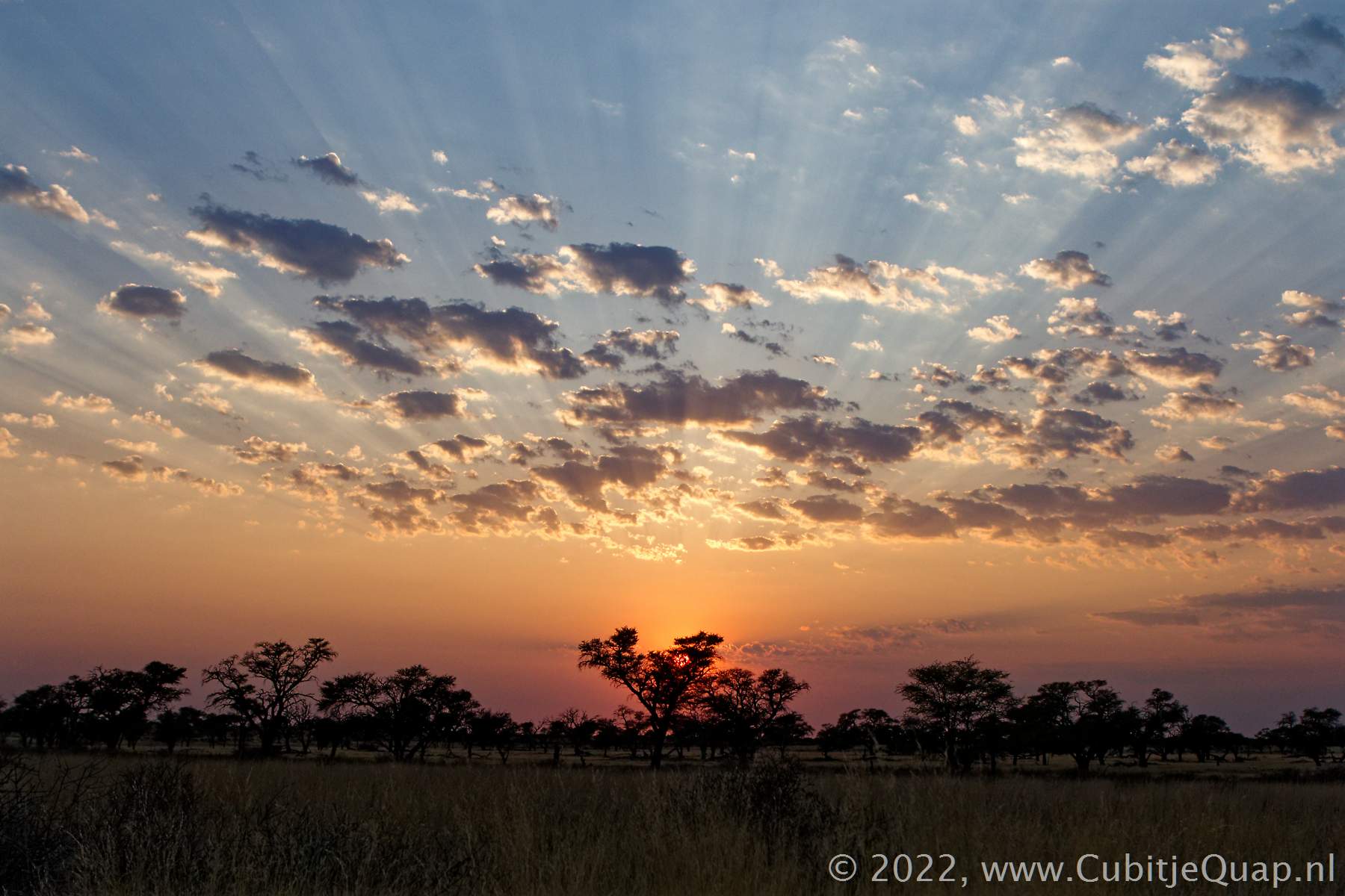
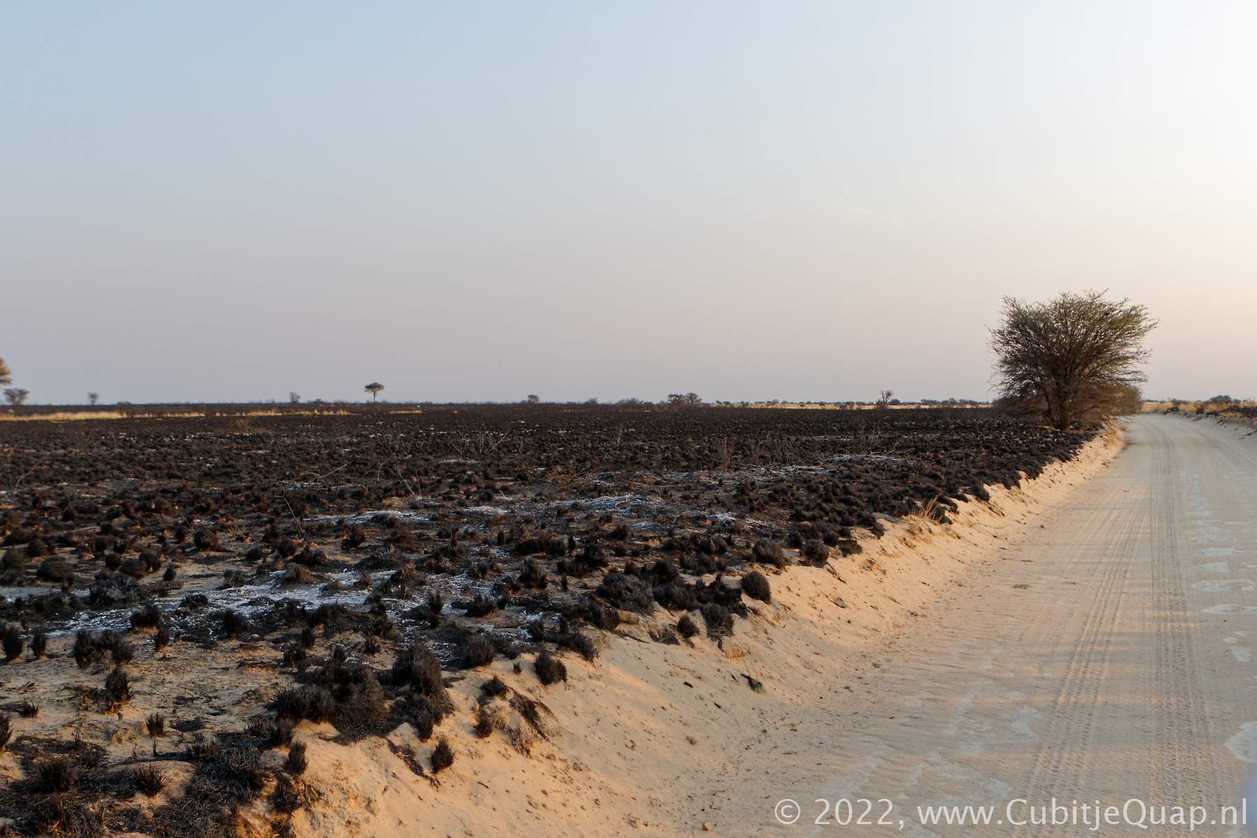
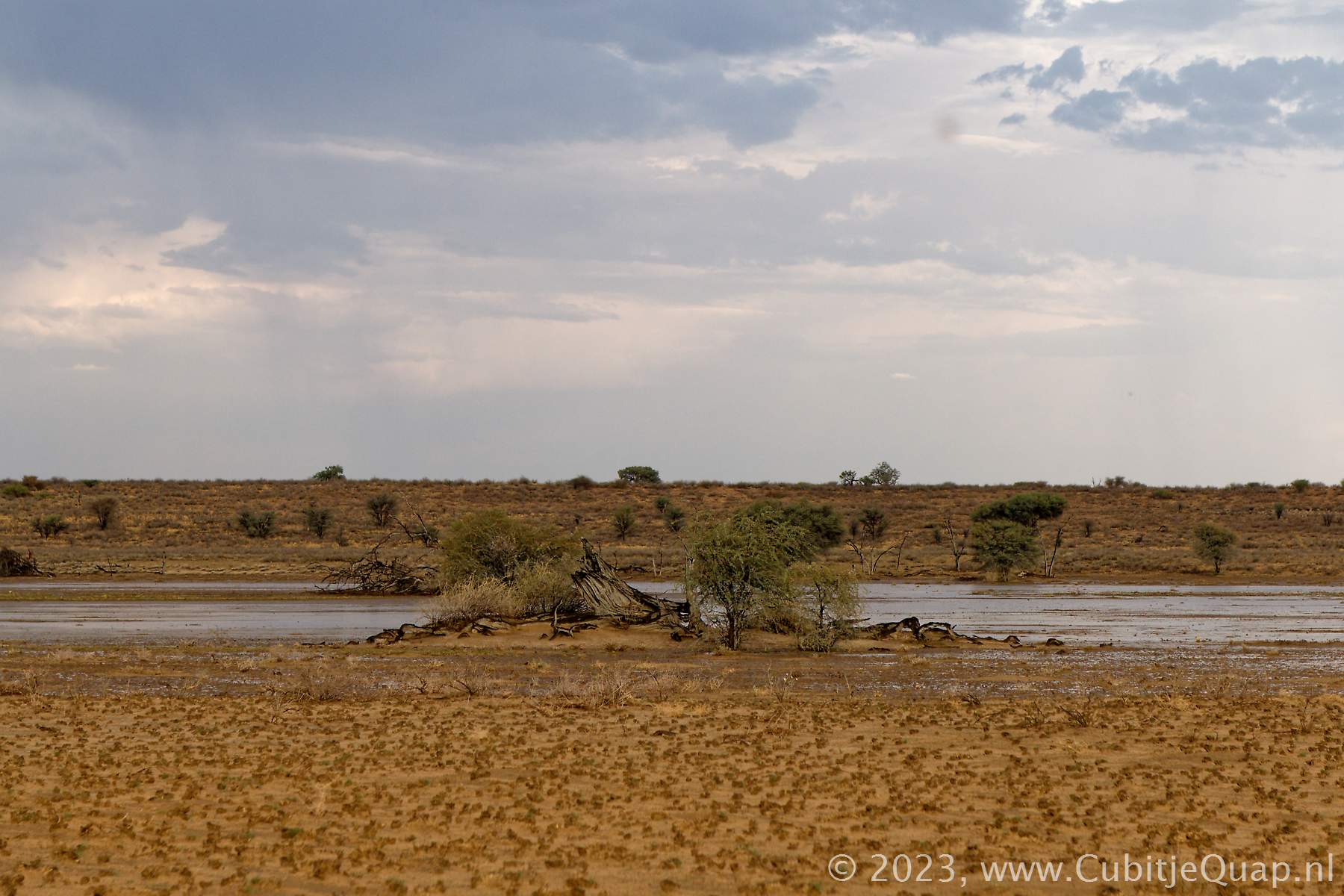
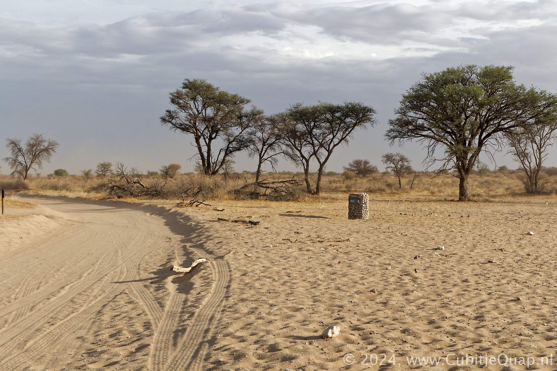
There are few waterholes along the road between Dikbaardskolk and Nossob. To reach Cheleka waterhole there is a loop road taking you from the main road slightly into the riverbed. The waterhole is located close to a beautiful camelthorn. At Kaspersdraai, the road is on a dunehill where you can gaze over the waterhole from above. It is especially beautiful in the early evening light.Close to Nossob you can decide to take the long (12 kilometer) loop to Marie se Gat. This looproad goed into the riverbed around some dunes. it provied good a viewing over the riverbed. Rooikop waterhole is closest to Nossob, it is surrounded by trees and a looproad goes all the way around the waterhole. Fred Rooikop it is not so far to the south gate of Nossob Camp.

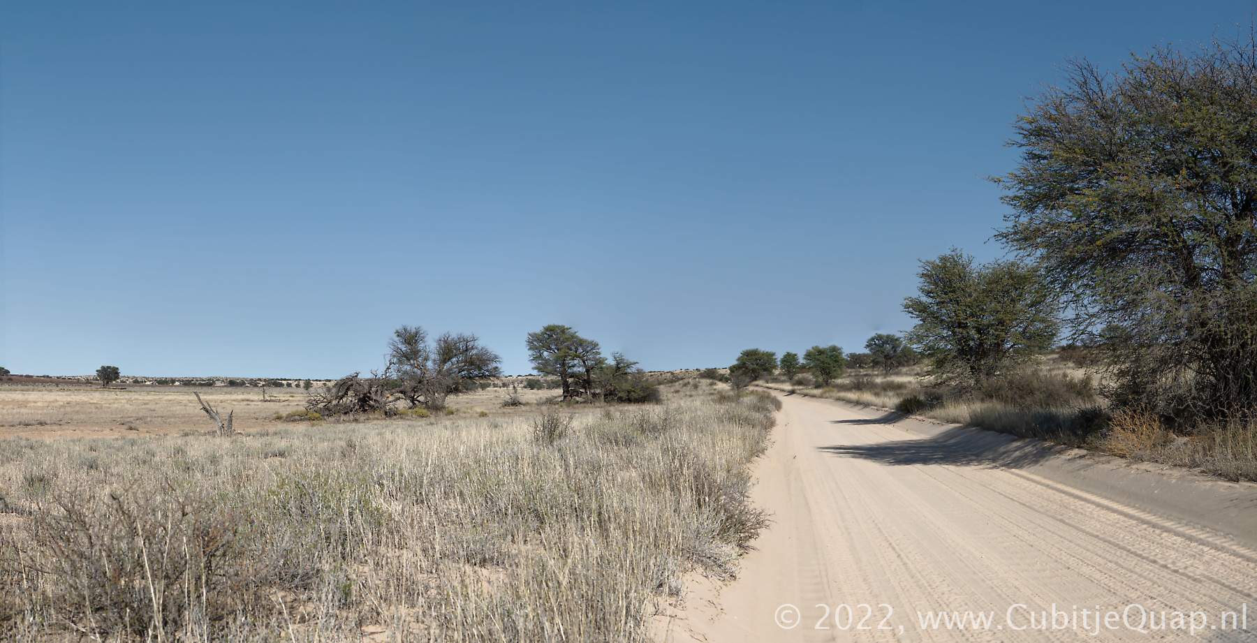
Nossob to Polentswa
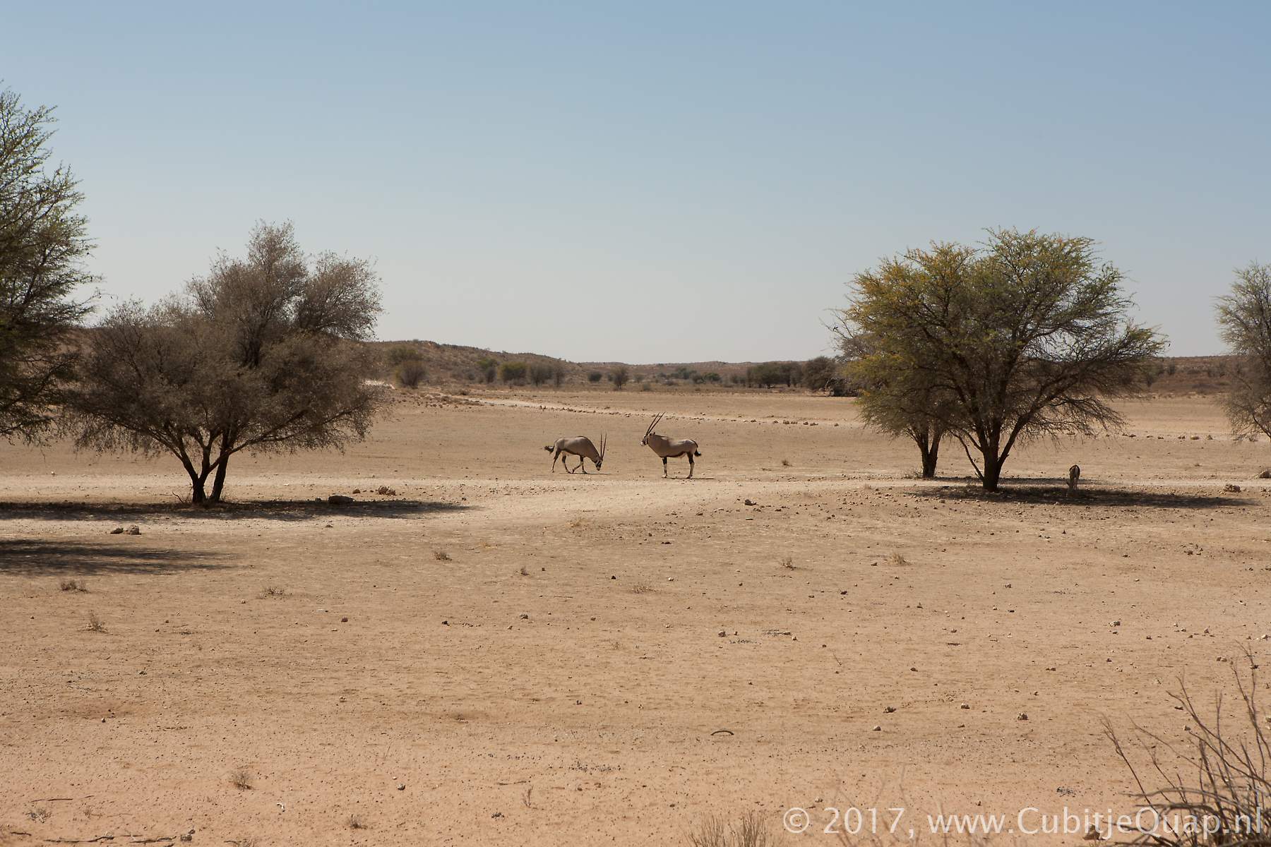
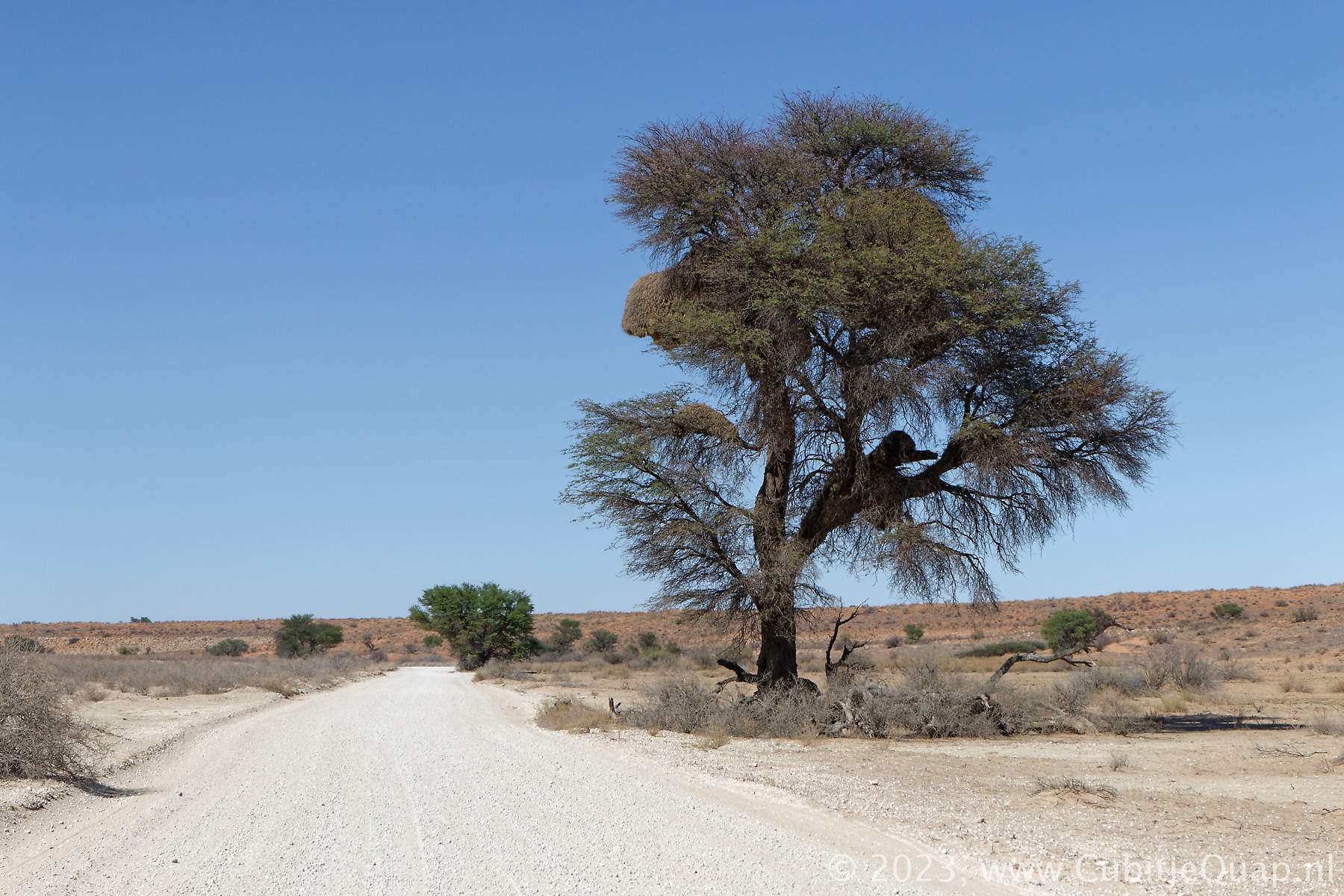
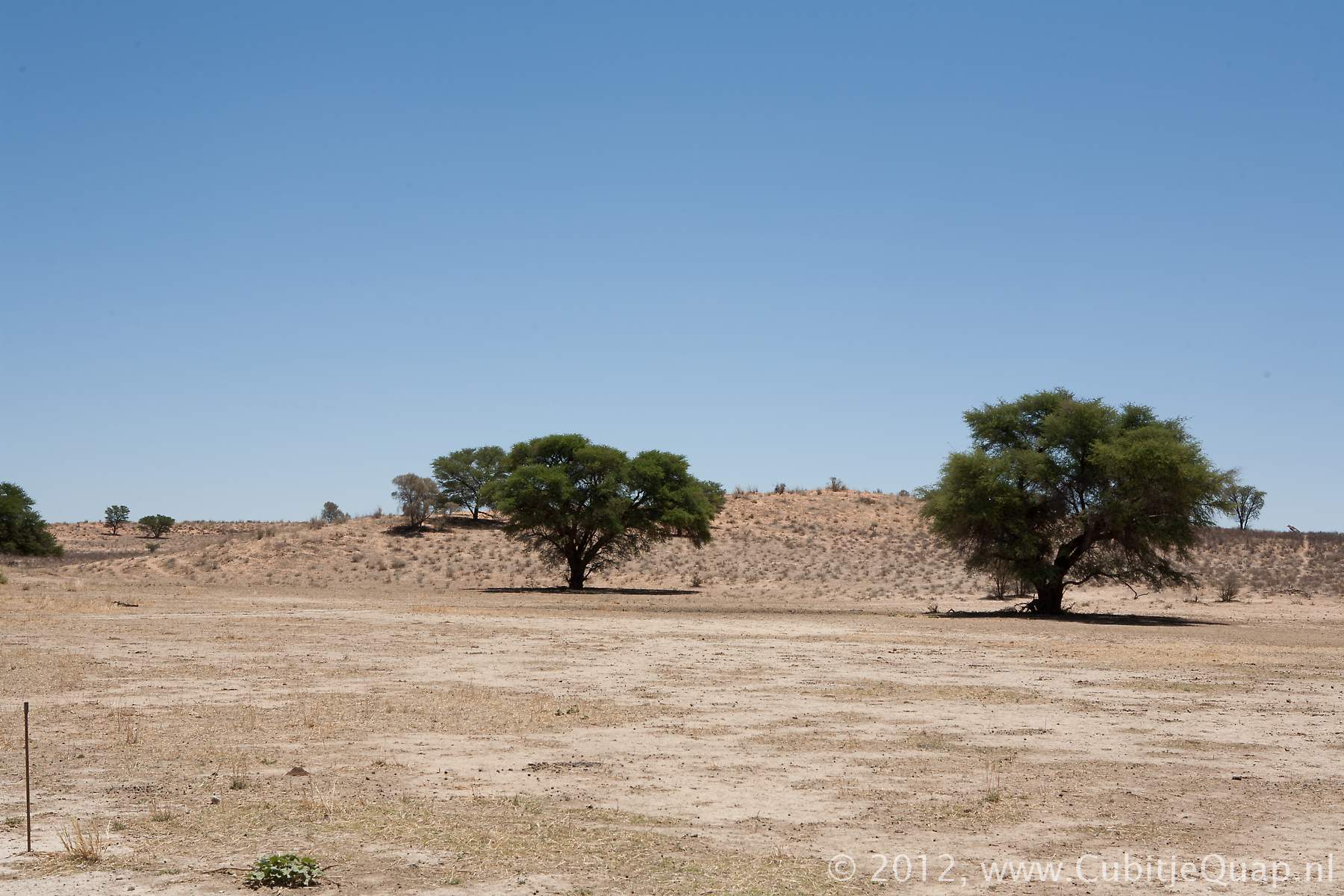
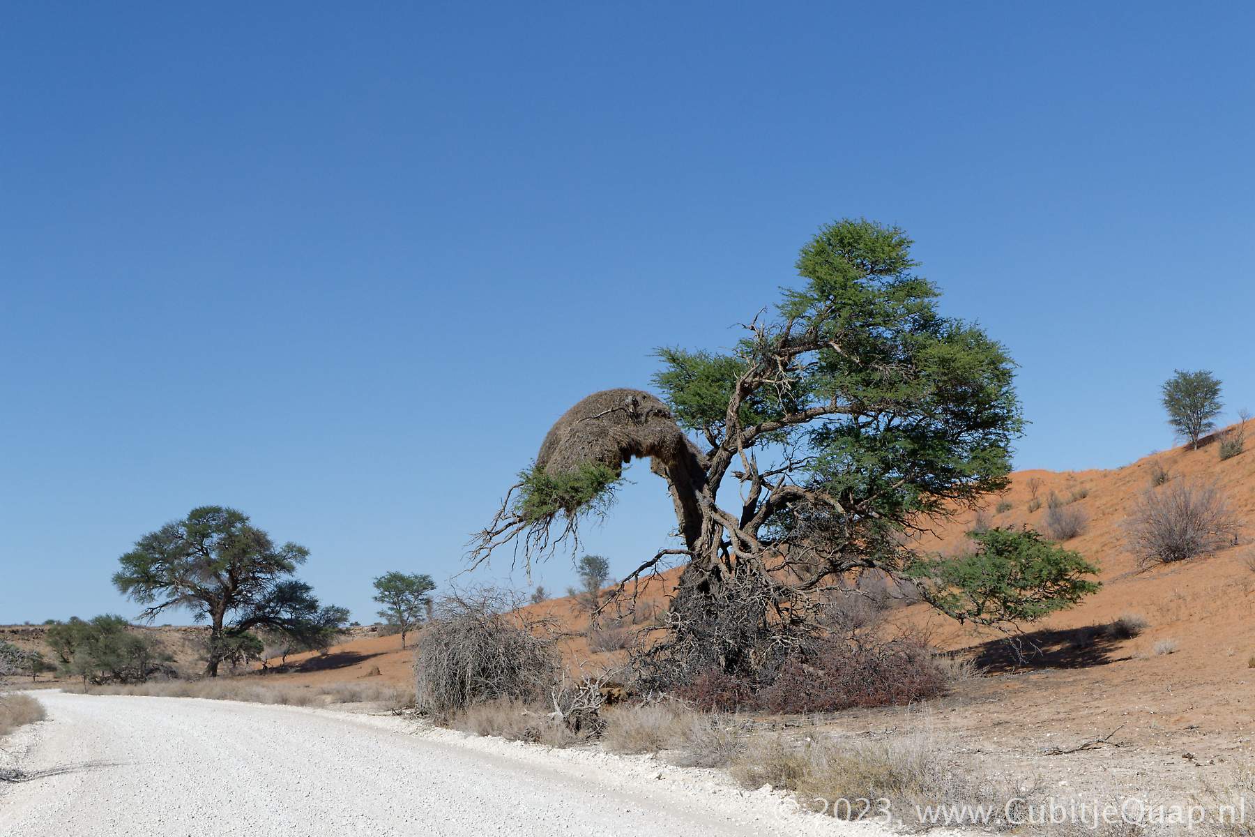
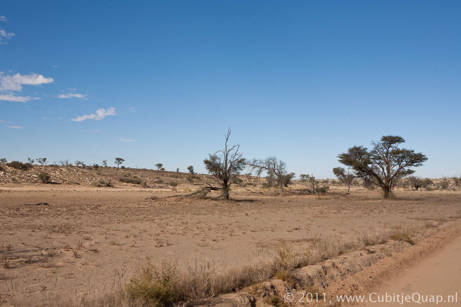
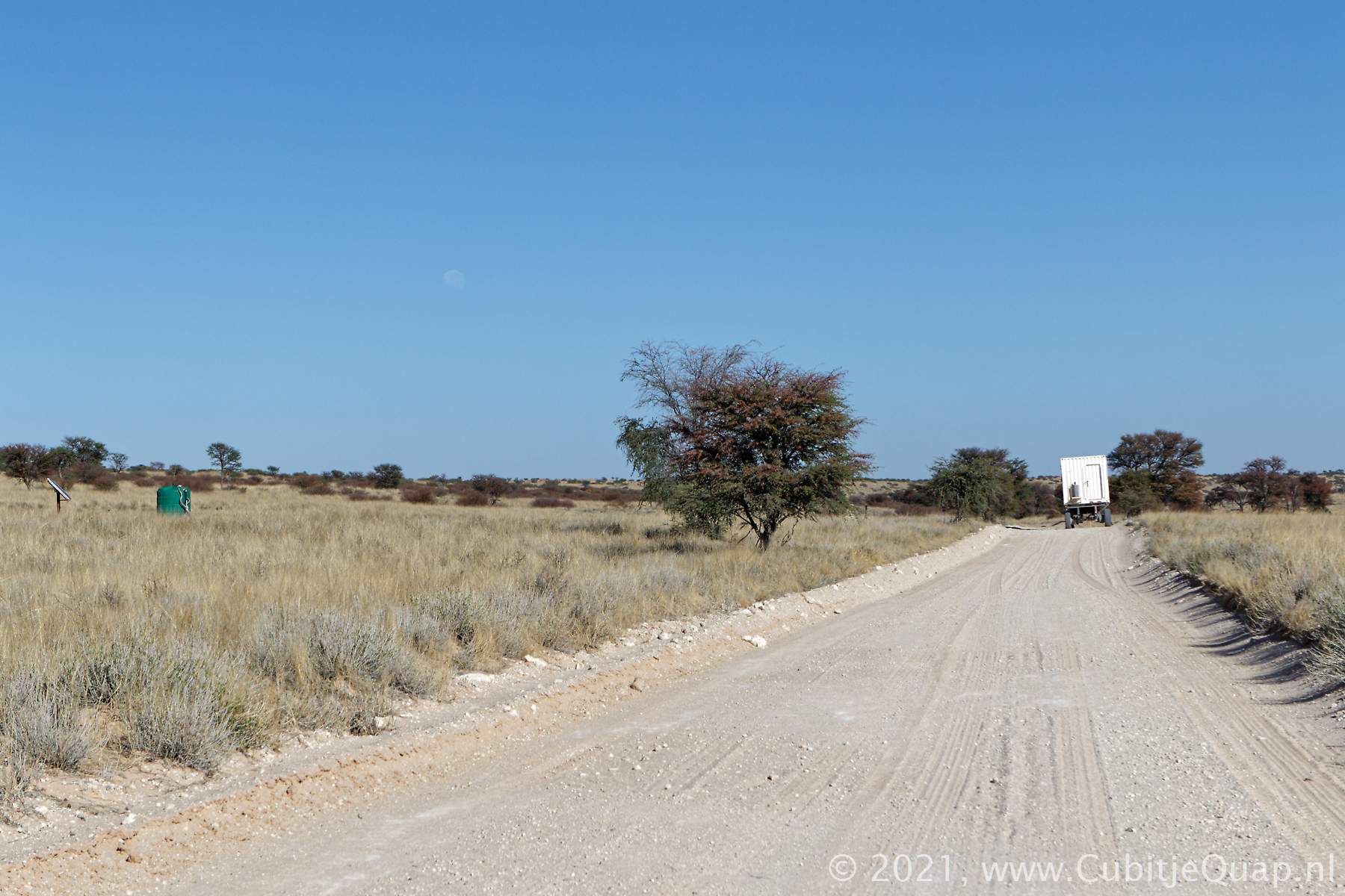
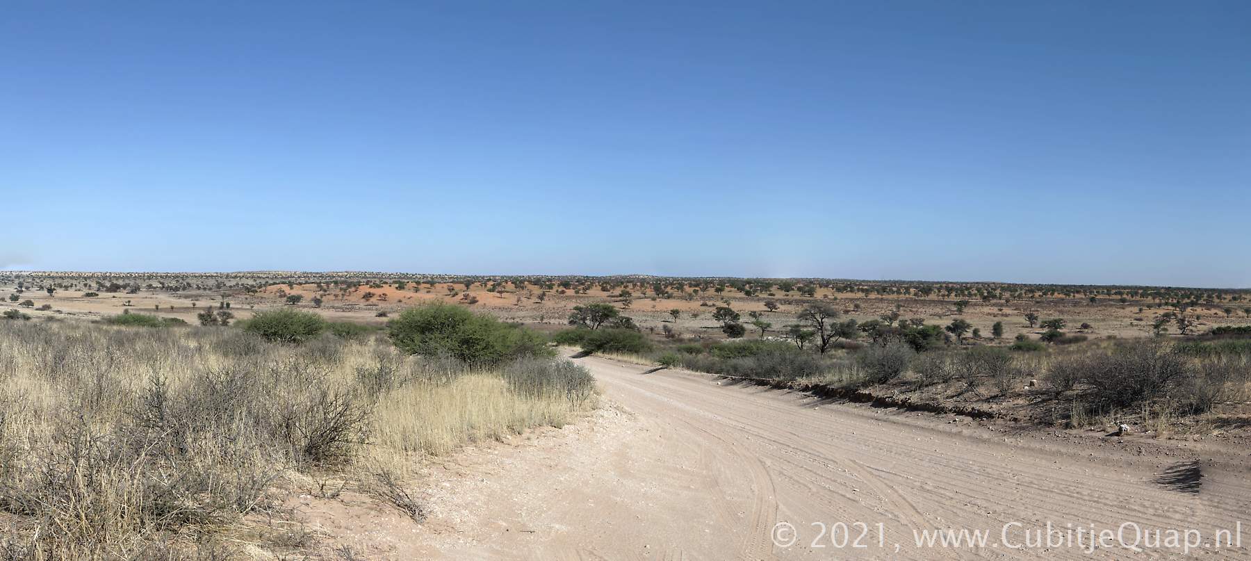
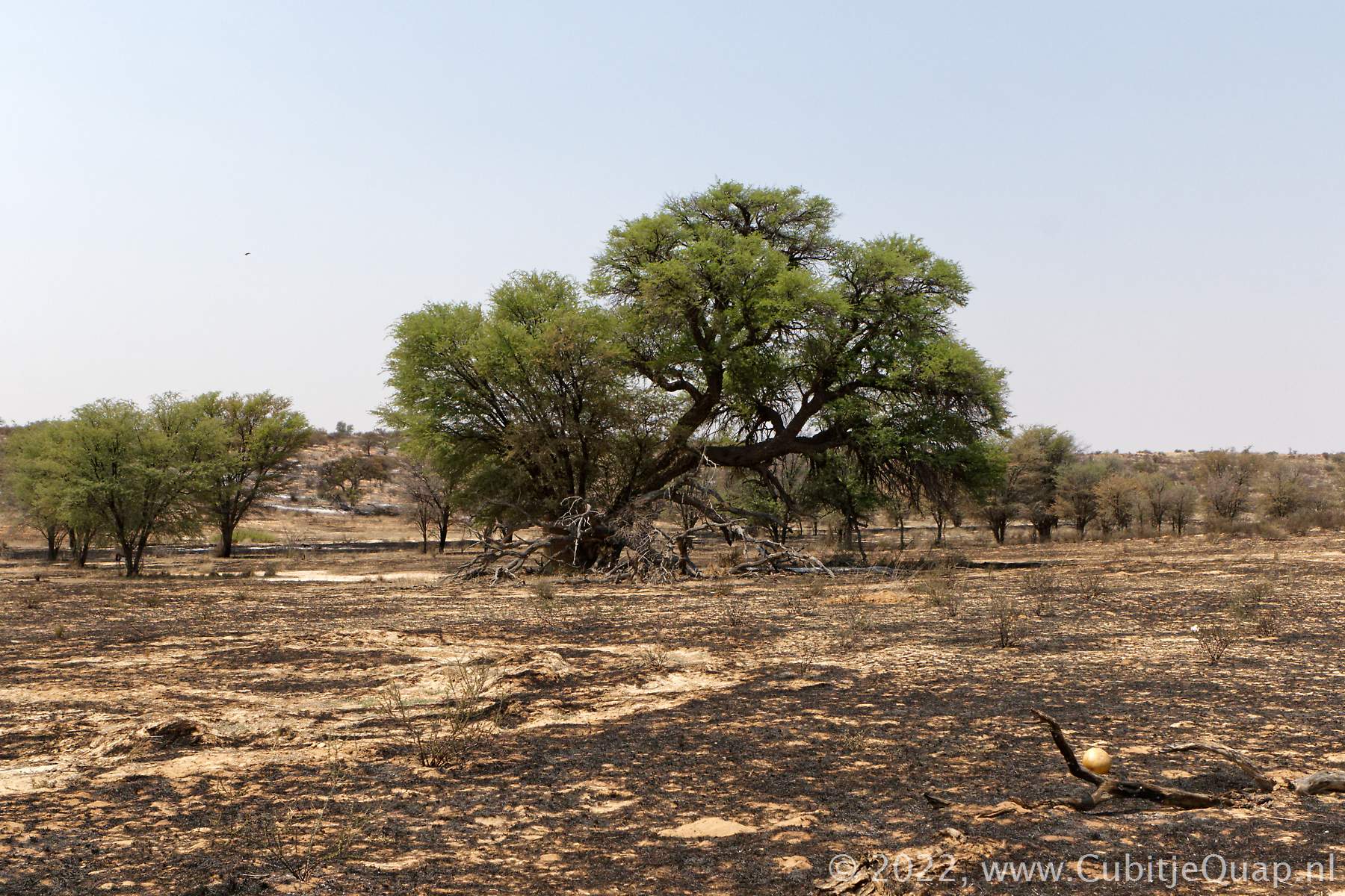
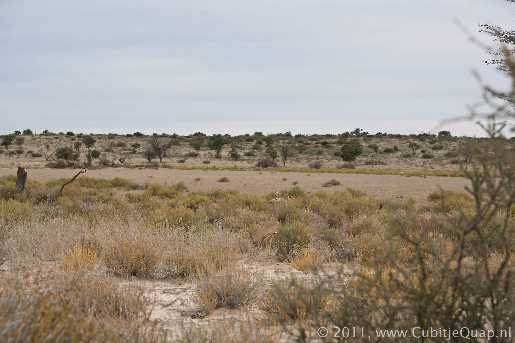
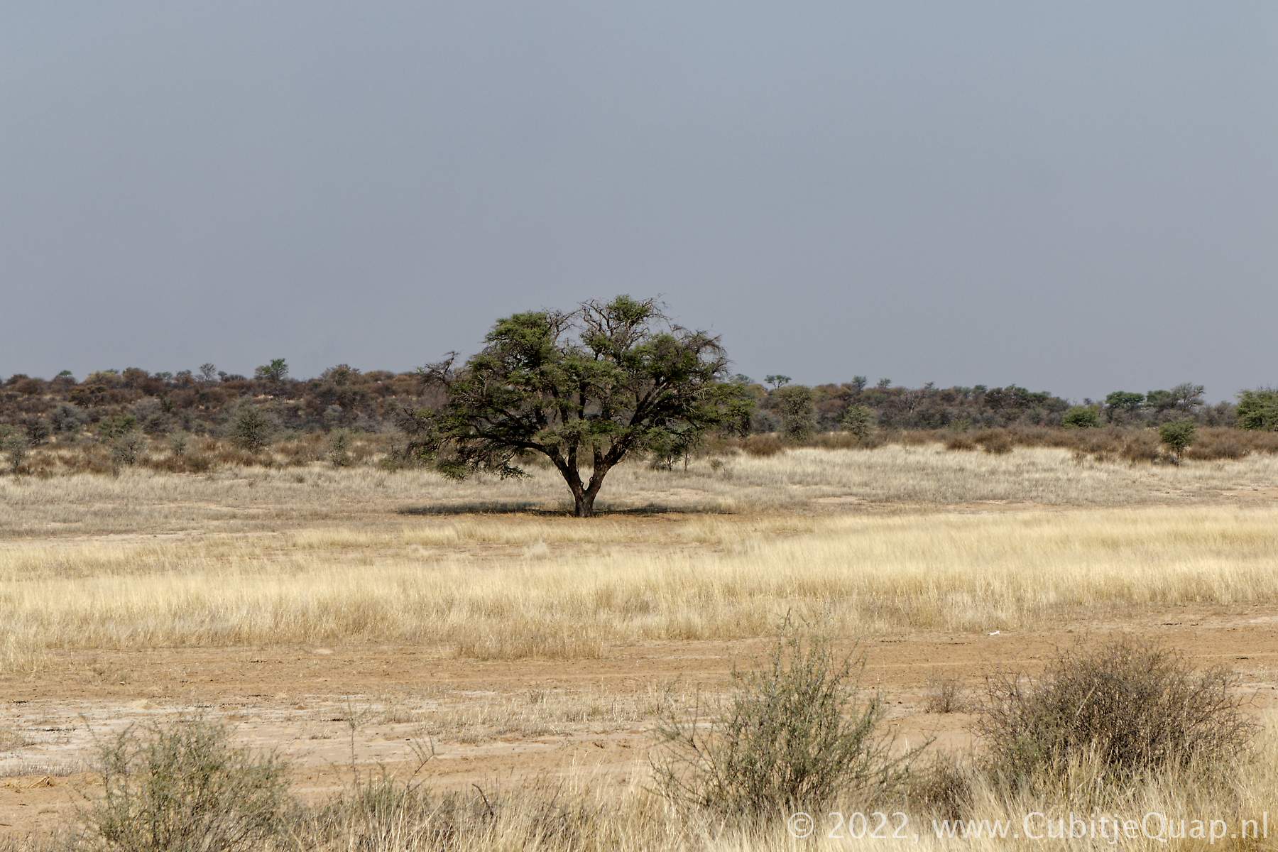
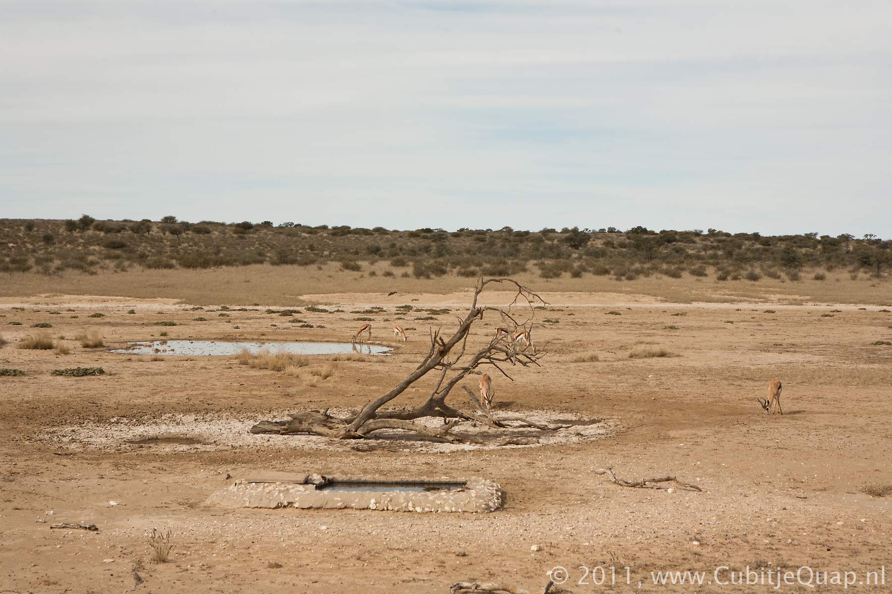
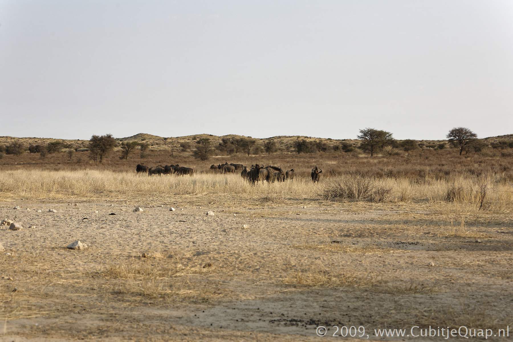
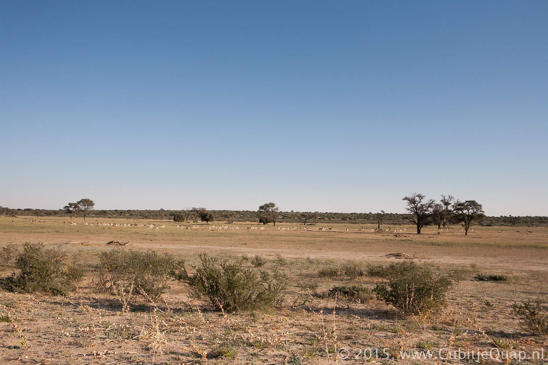
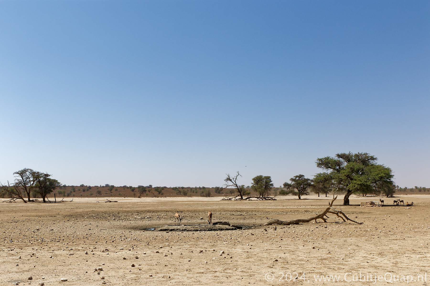
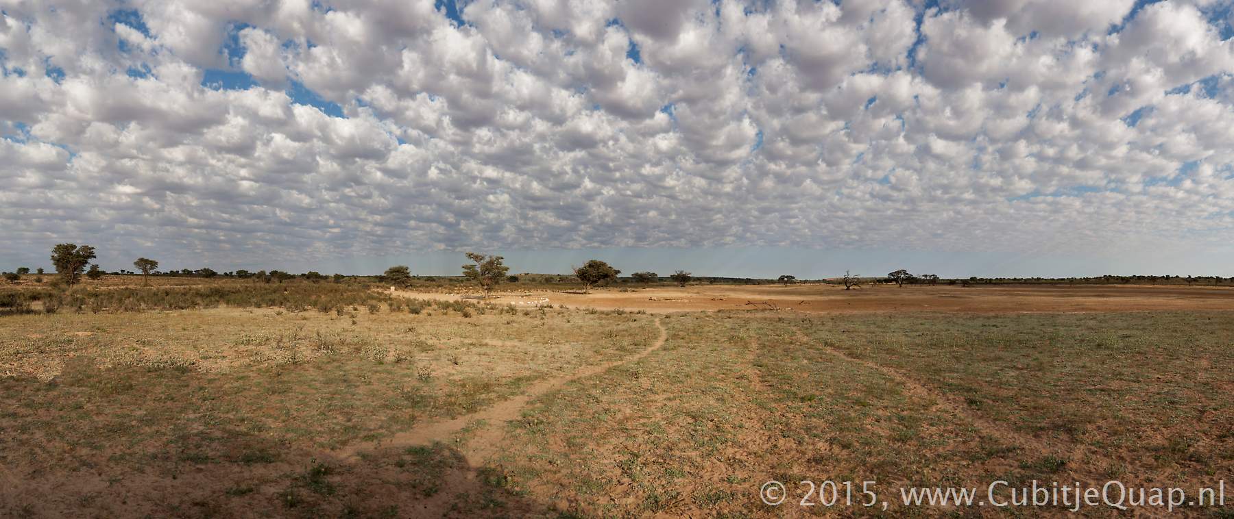
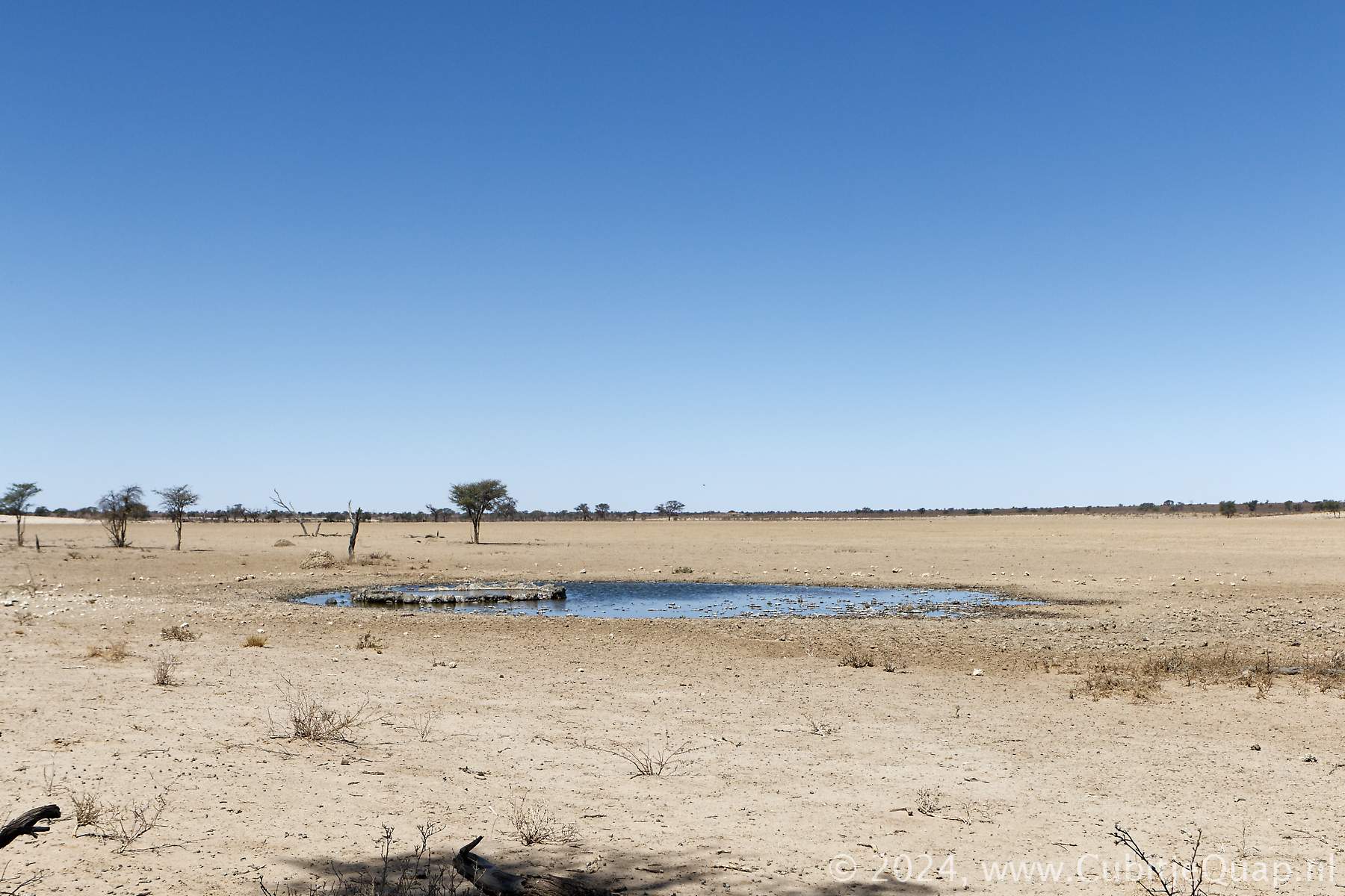
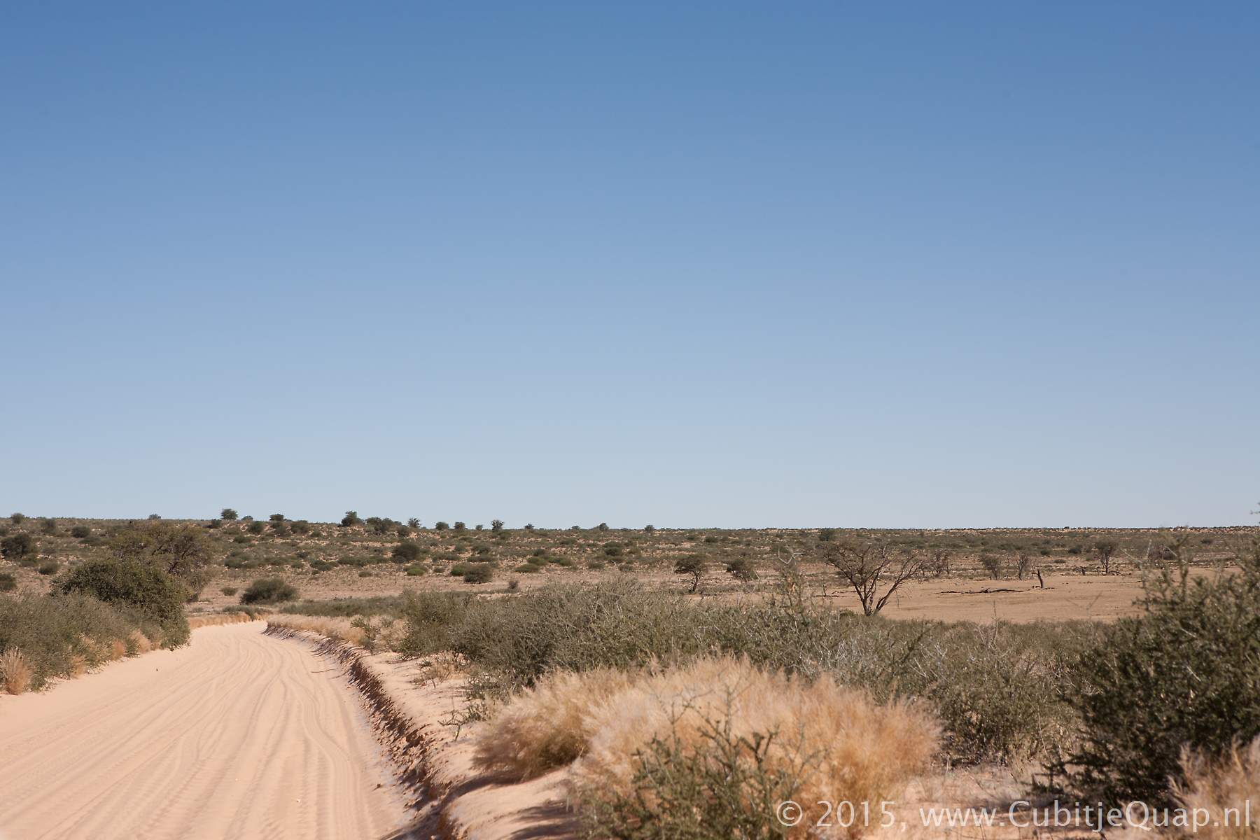
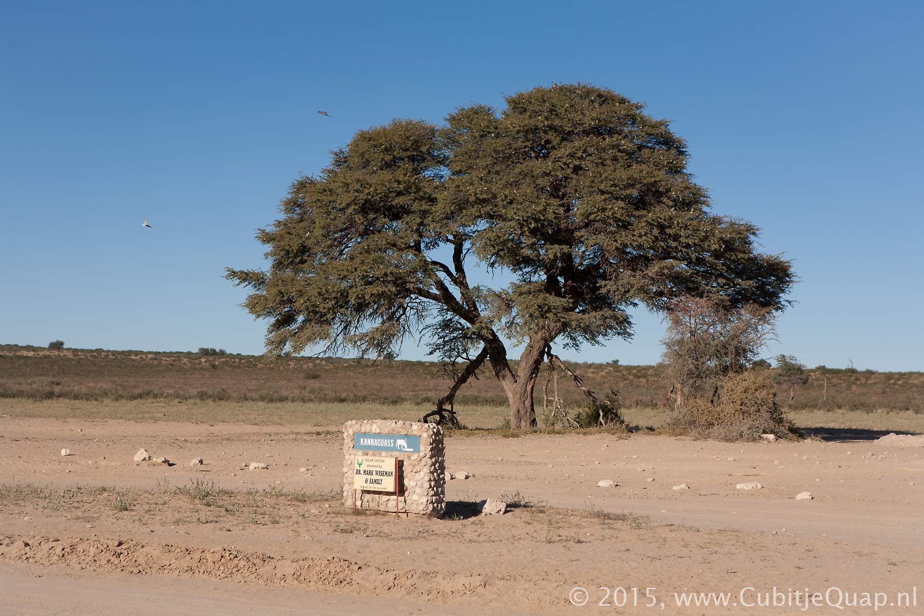
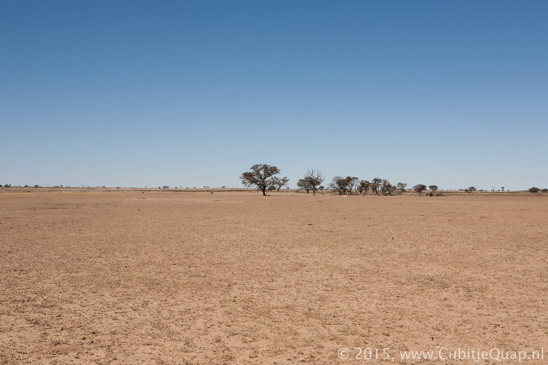
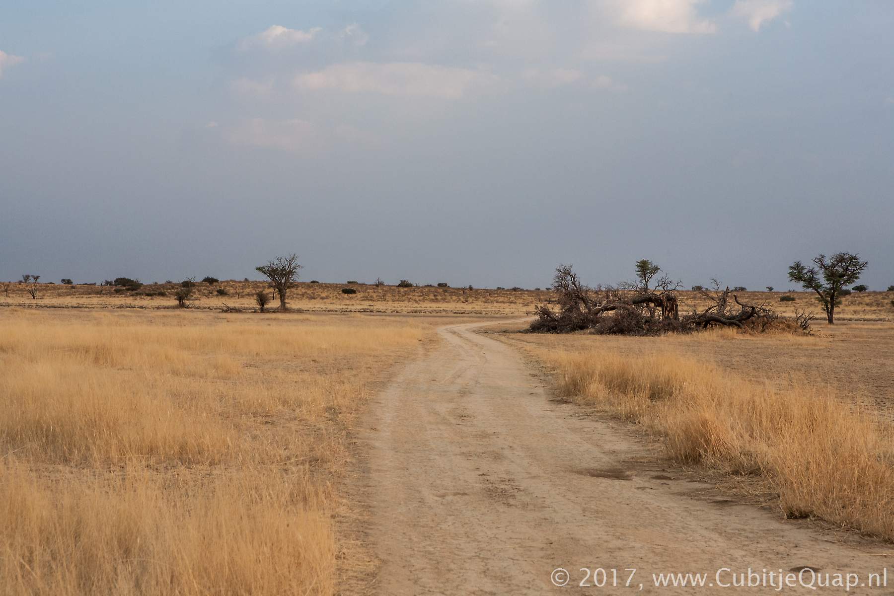
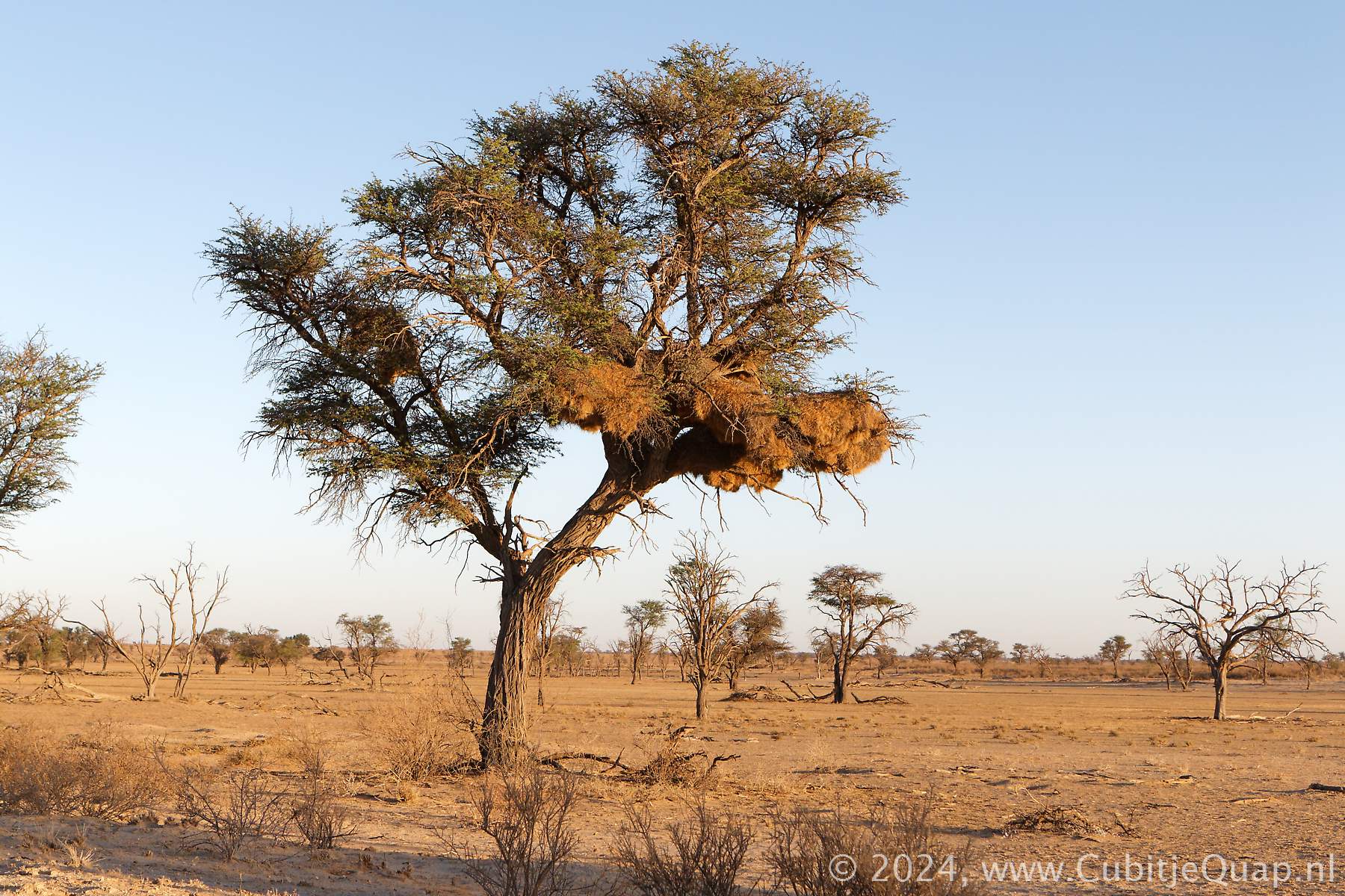
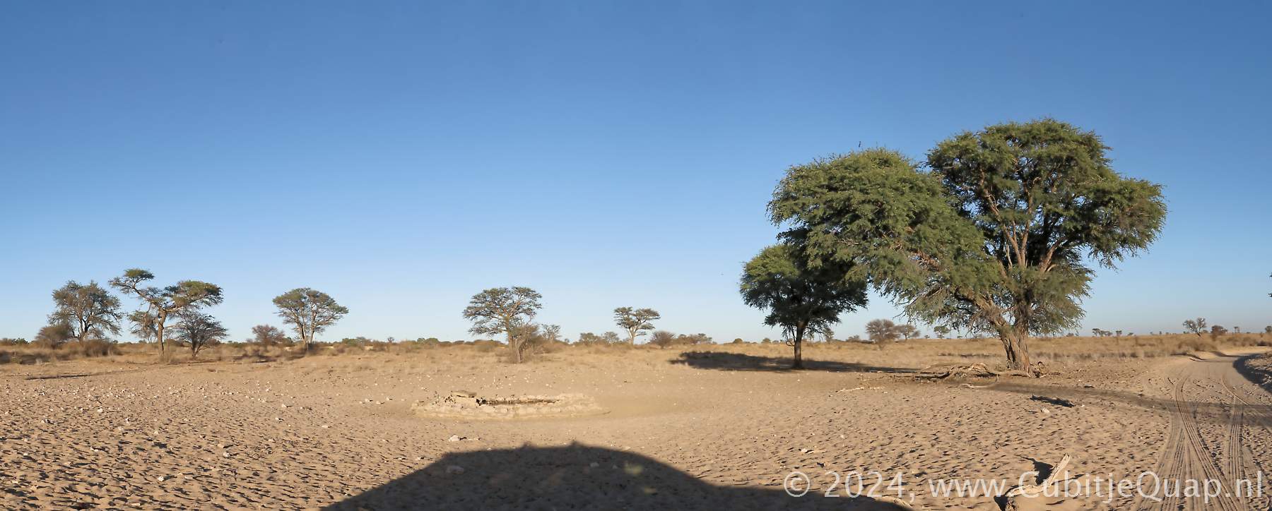
The first waterhole north of Nossob is Cubitje Quap. Both from the specially created loop road and the main road a good close view on the waterhole. On the other side of the main road you can overlook the riverbed from above. Further to the north long strecheds of the road have scrubs directly on the edge of the road, limiting the view a bit especially for low sedan vehicles.Kwang waterhole can beapproached closely, it has a parking area with shade from a few tall trees. Bedinkt waterhole has a viewpoint from afar and a small viewing loop closer to the waterhole. Polentswa waterhole is locatedjust north of the Polentswa turnoff, leading to the Polentswa campsites in Botswana side of the park along the road to the Kaa gate.
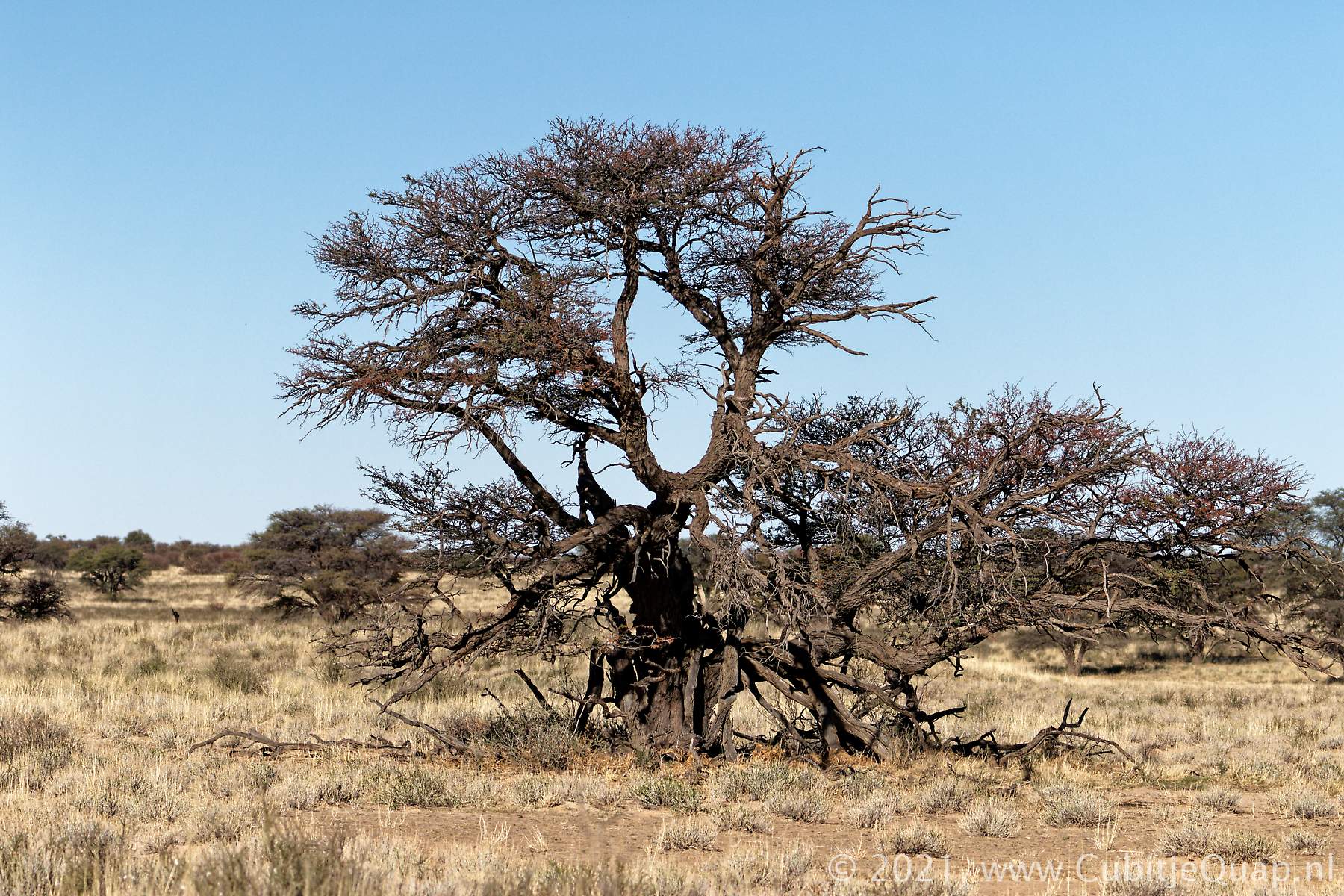
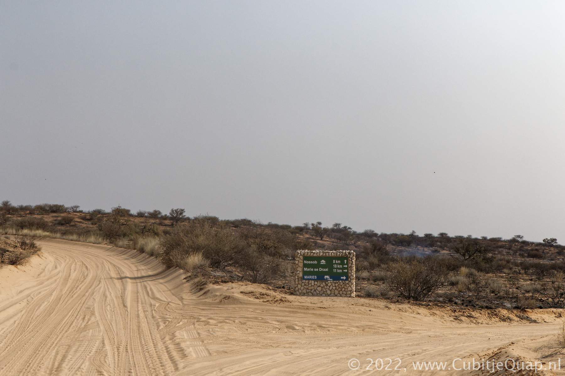
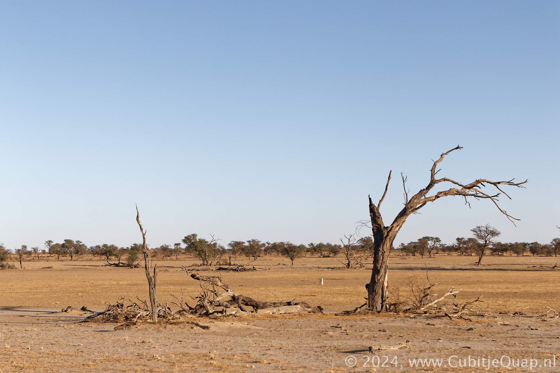
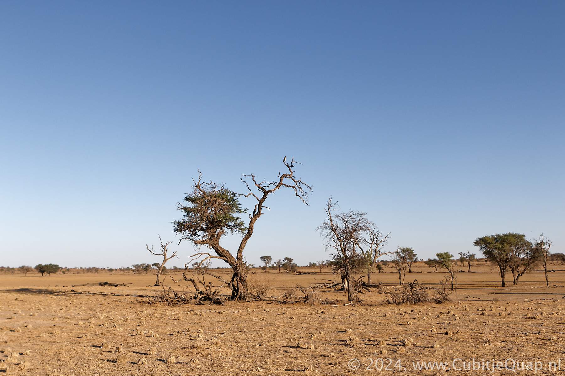
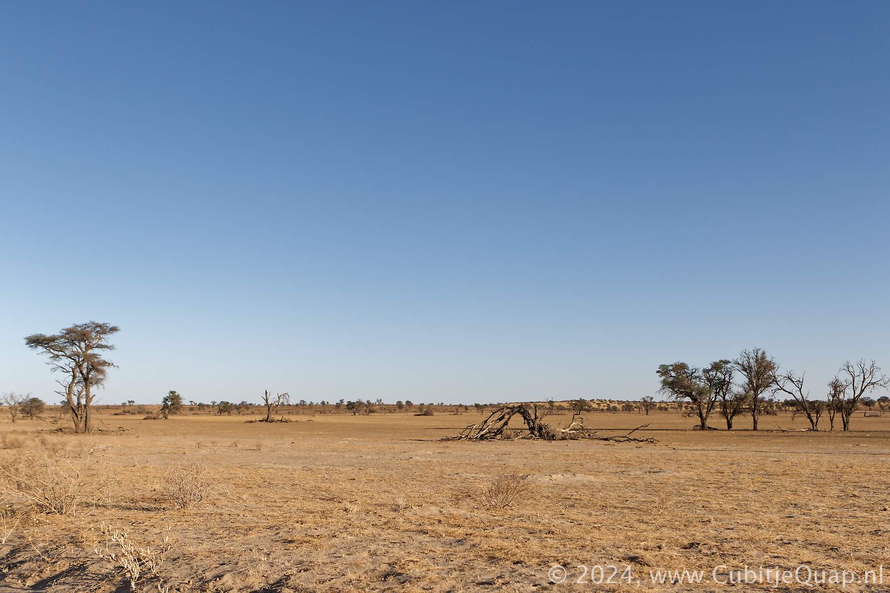
Polentswa to Union's End
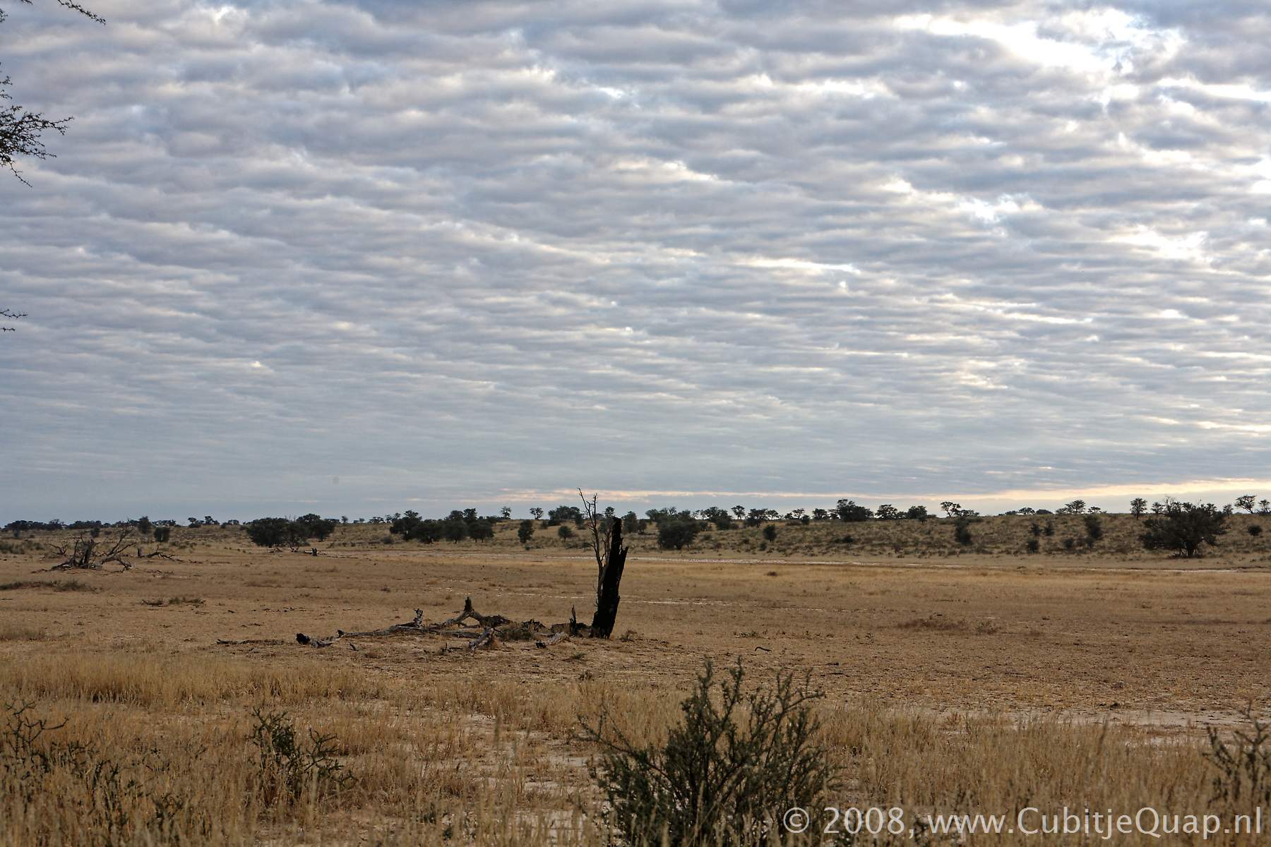
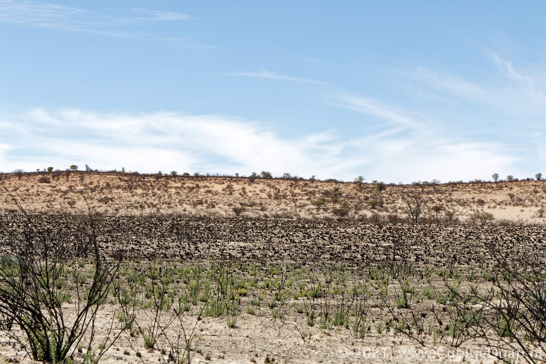
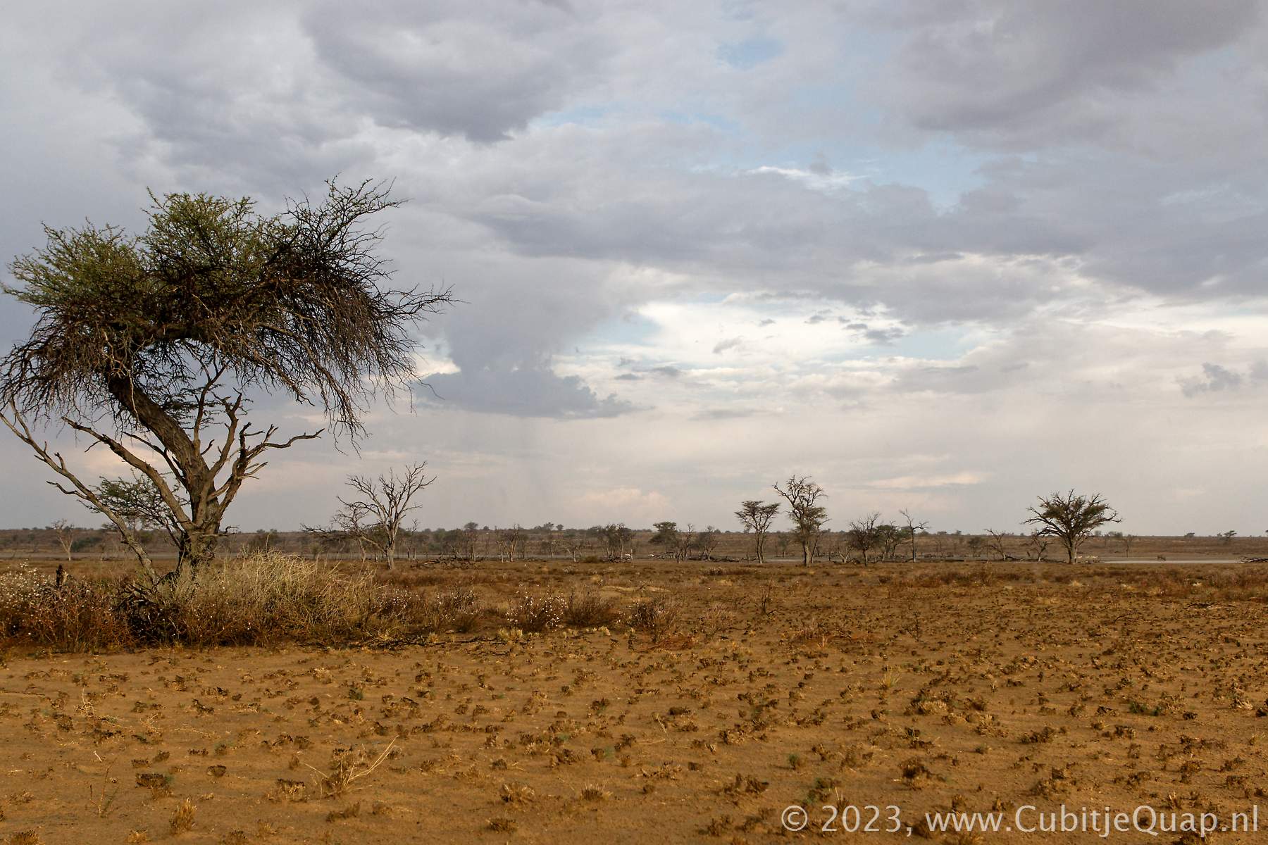
It is a long strech of road from Polentswa to the next waterhole, Lijersdraai. The Lijersdraai waterhole is now (2019) located just north of a large salt pan. The northern part of the Nossob riverbed has more trees than the southern part. Along the road there are again large areas where bushes limit the view into the fields.Geinab waterhole is closed, there is not enough water in the area to provide for both Grootkolk camp and Geinab waterhole.
Union's End is the mnost northern point of the Kgalagadi Transfrontier park. It is where three countries meet; South Africa, Botswana and Namibia. A signpost marks the spot. Of course there is no visible border in the transfrontier park between South Africa and Botswana. The Namibian border is fenced.

Maps:
Twee Rivieren to Kij Kij