The Auob River
Geography
The Auob origins in Namibia, northeast of the city of Mariental. It enters South Africa at Mata Mata and confluences after some 120 kilometers with the Nossob rivier at Samevloeiing, just north of Twee Rivieren.General information
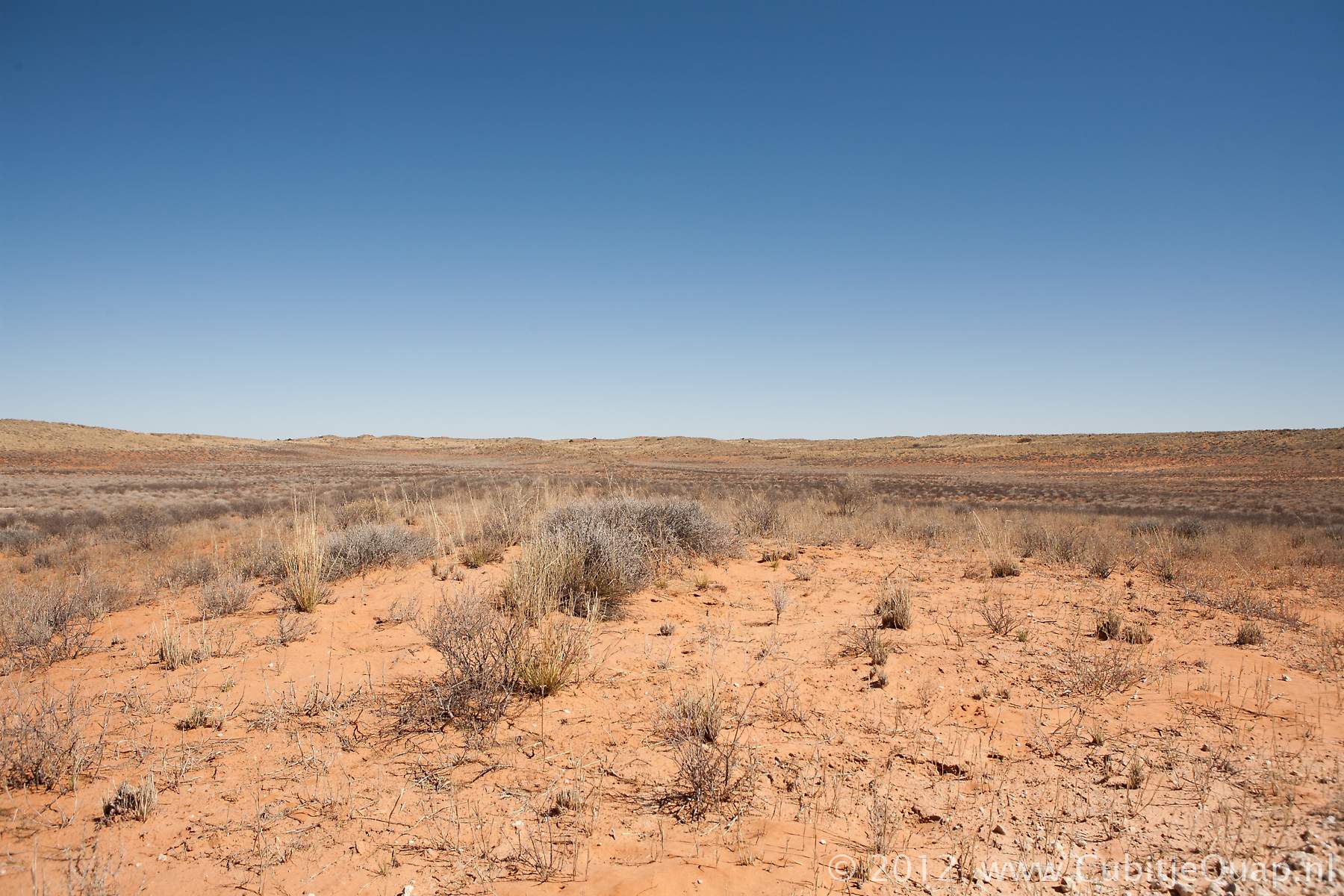
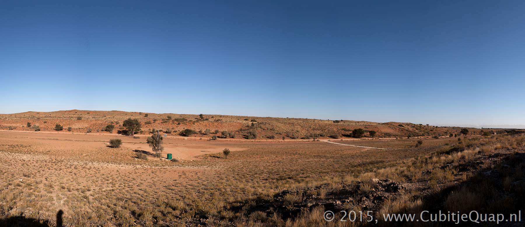
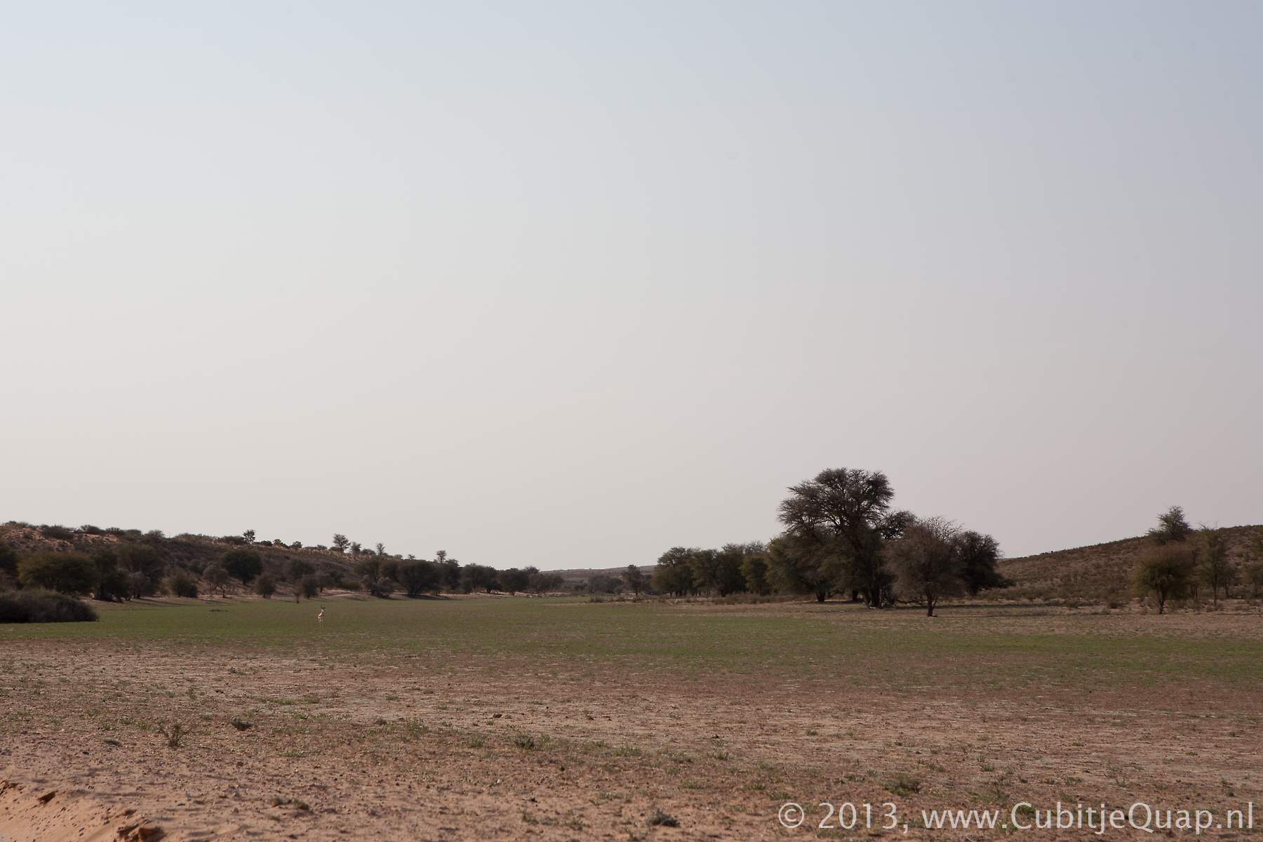
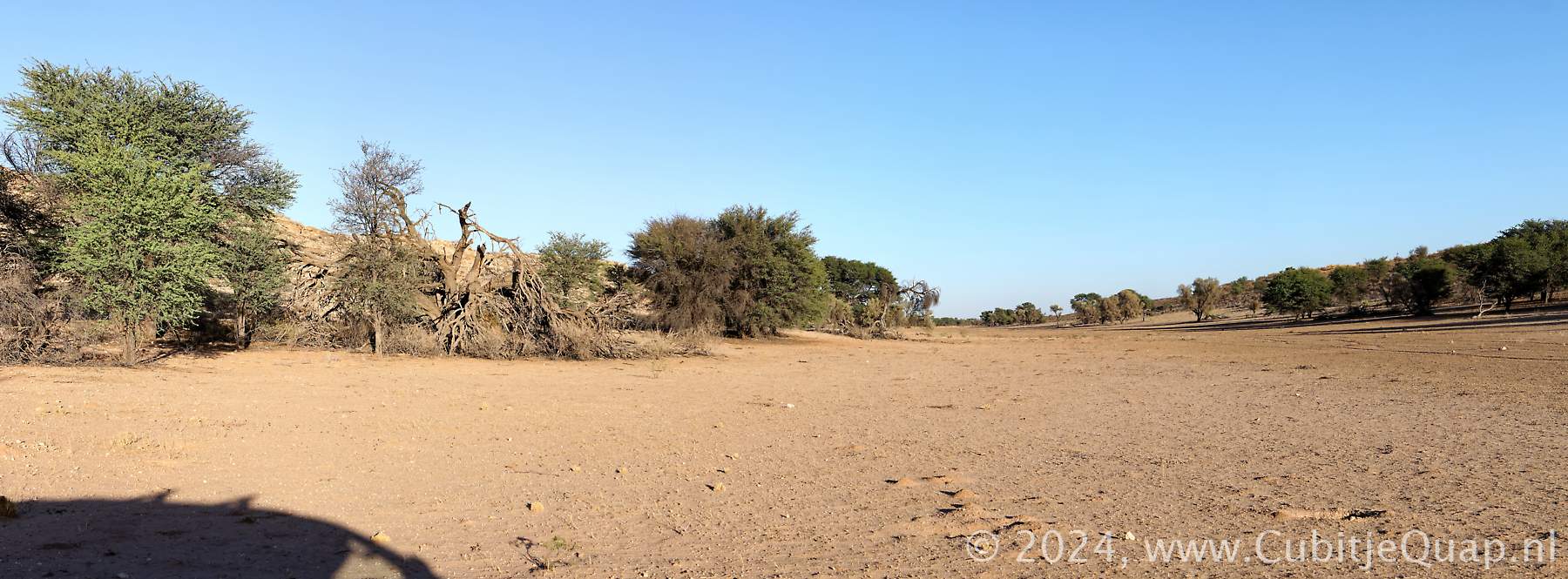
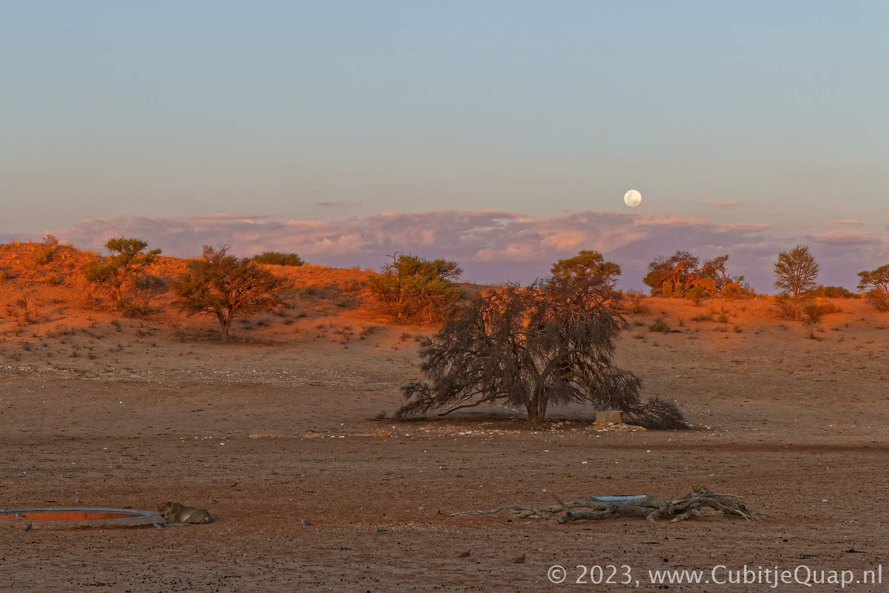
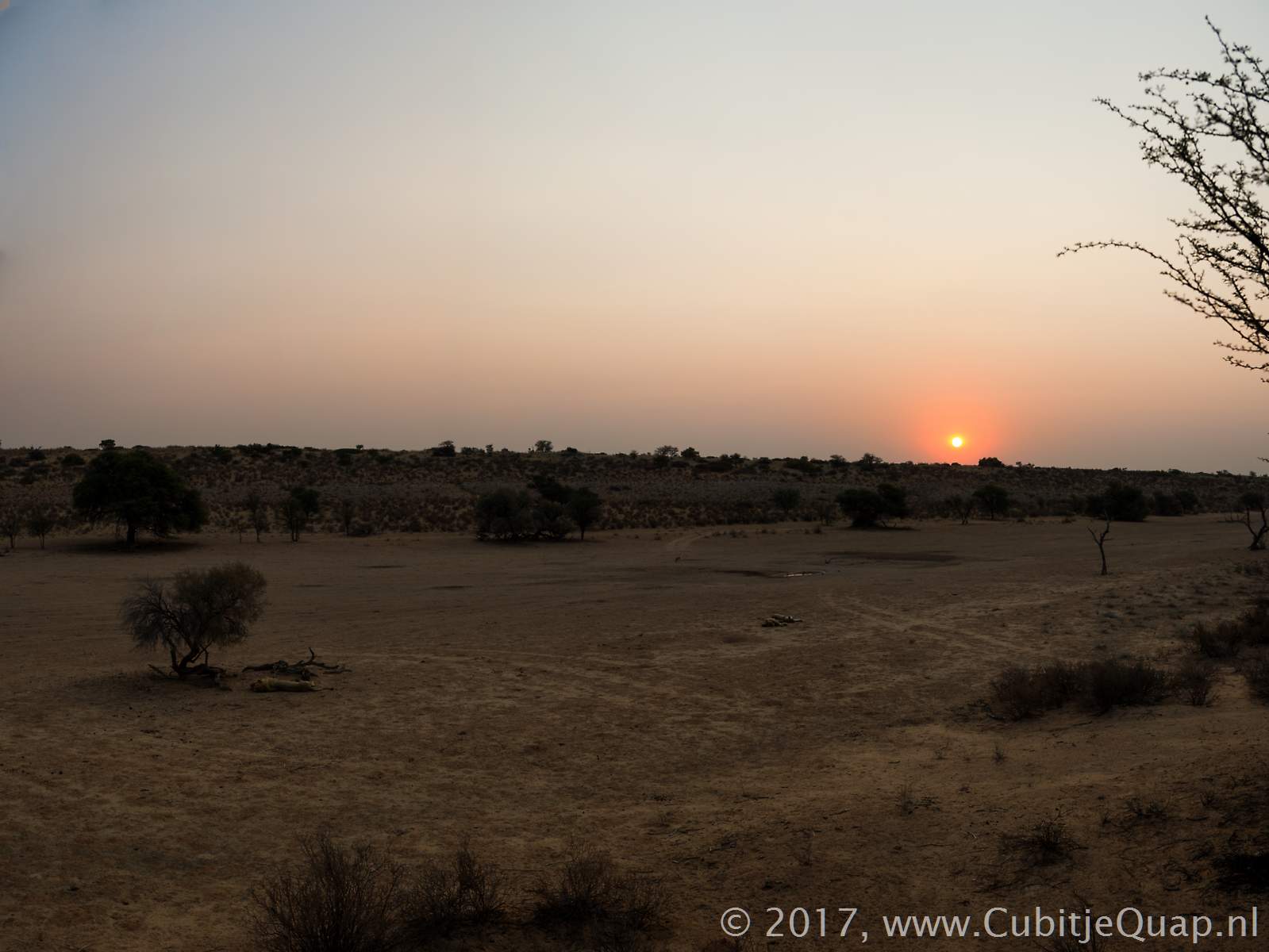
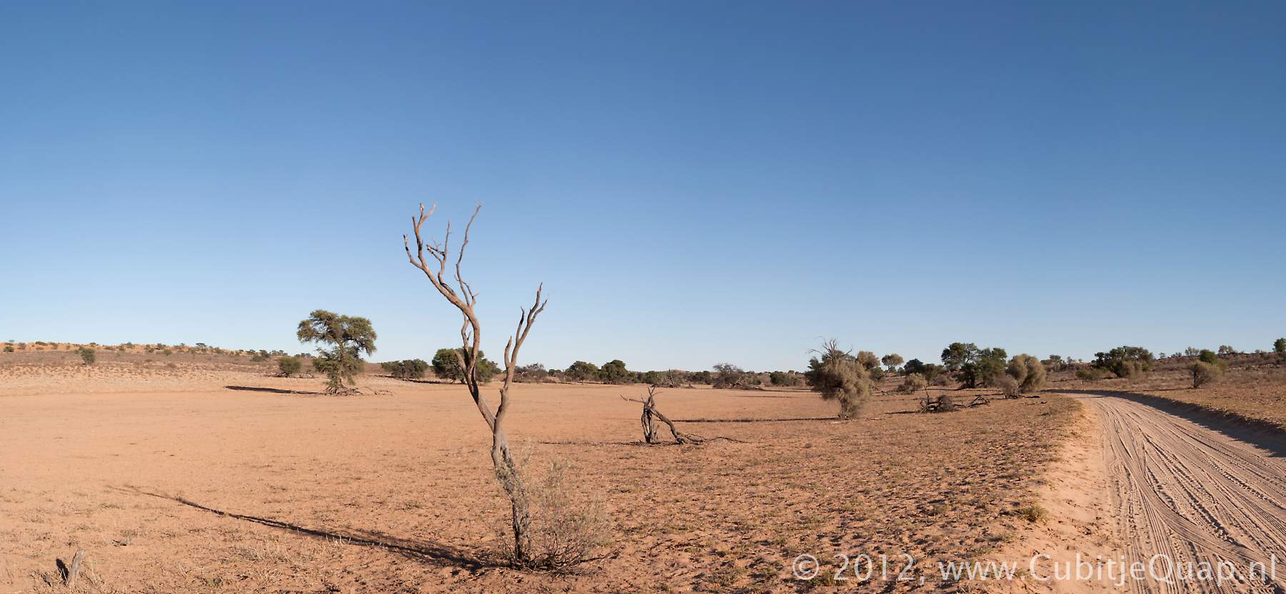
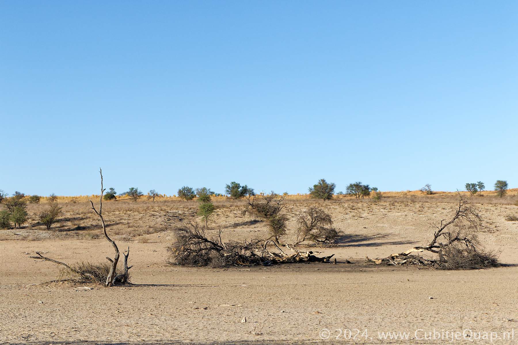
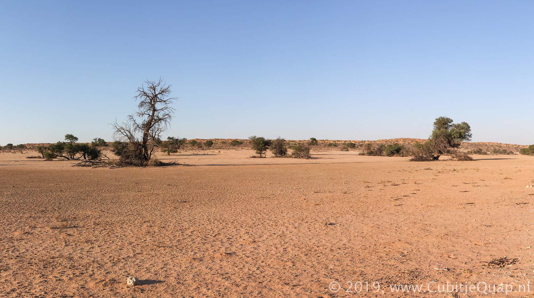
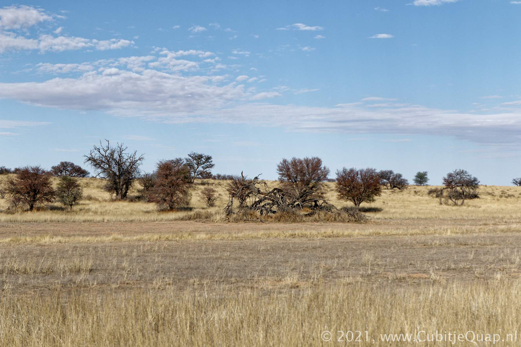
The word Auob is derived from Au !ab, meaning Bitter River. That also relates to the quality of the water in the river.The Auob is said to flow about every eleven years; last time the water reached the Kalahari TP was in 2000. In early 2011 the water stopped about 30km short of the Mata Mata border.Samevloeiing to Auchterlonie
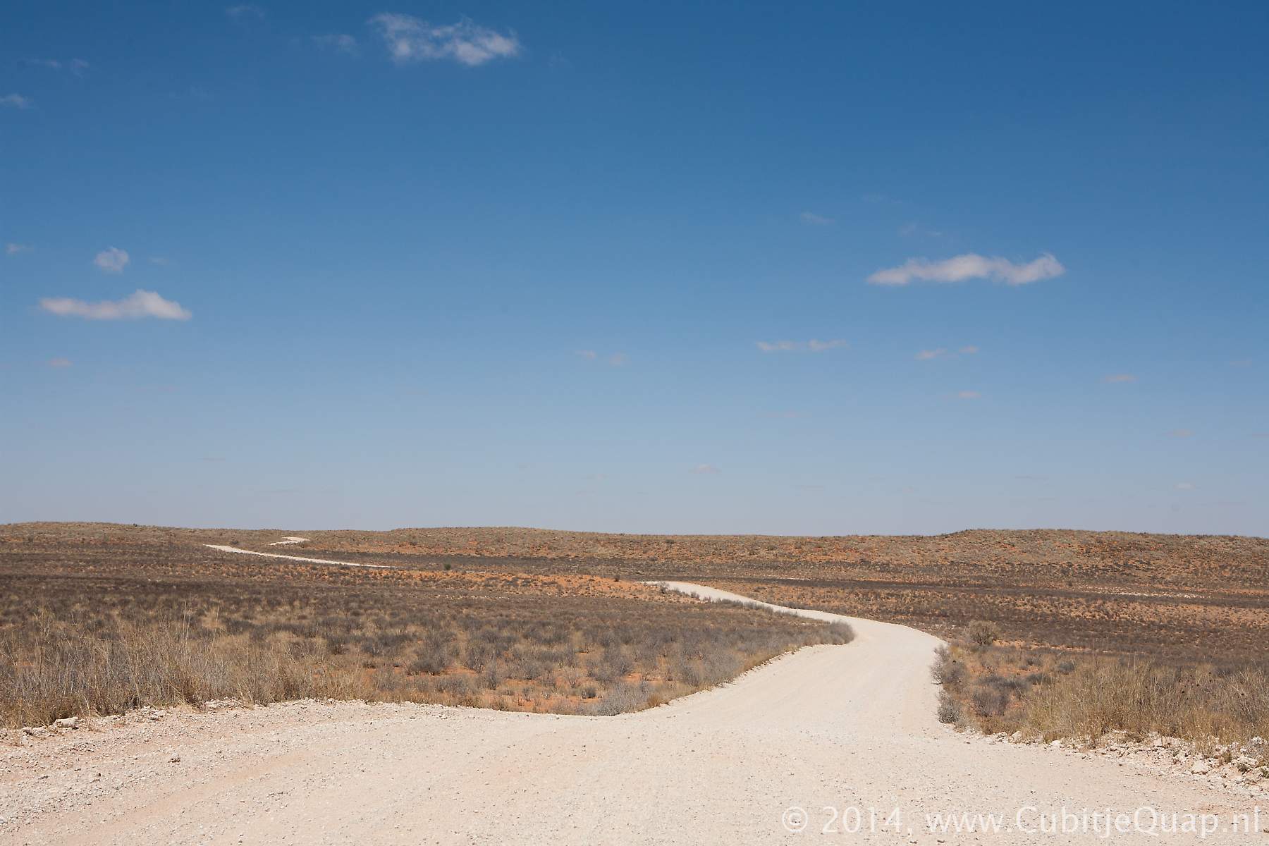
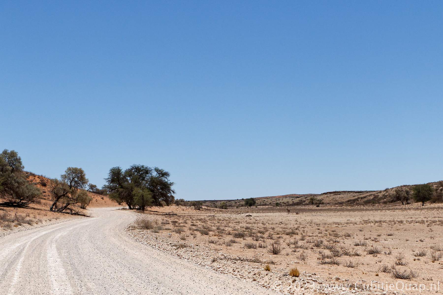
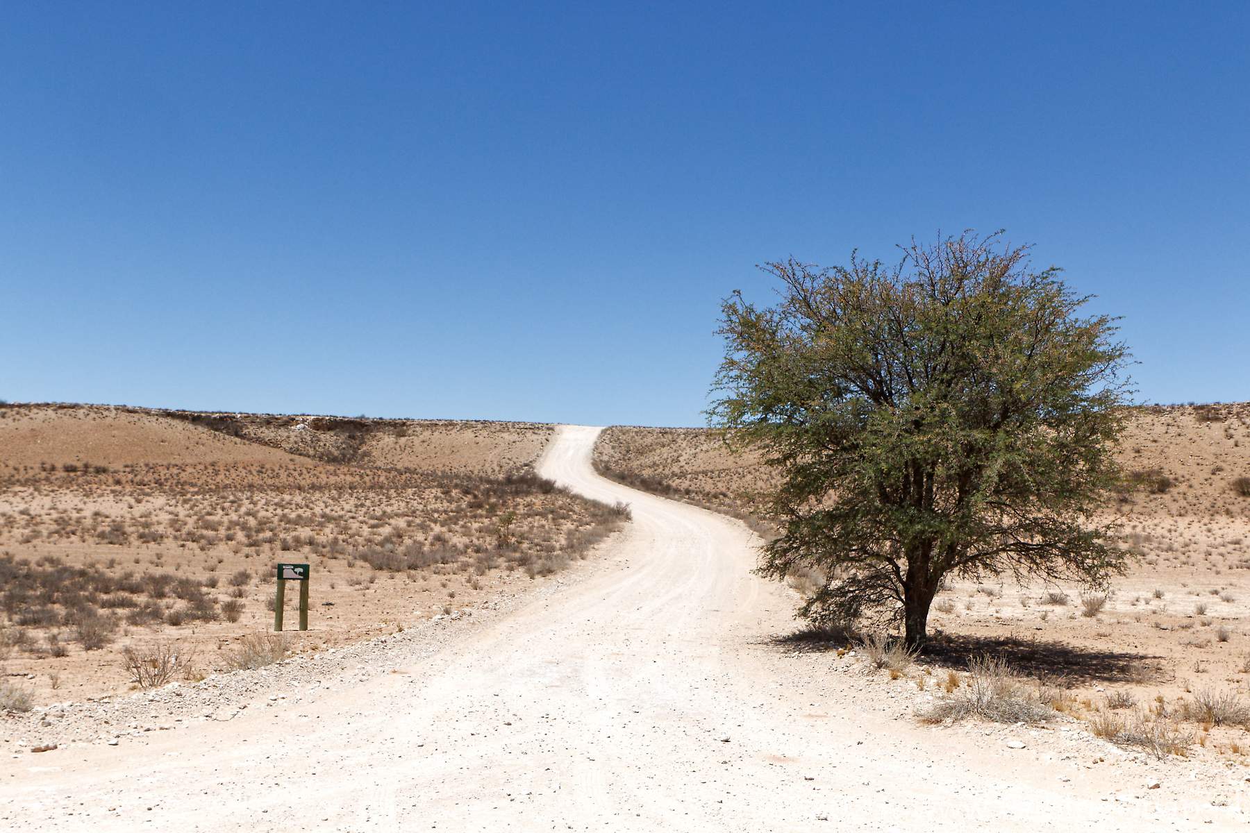
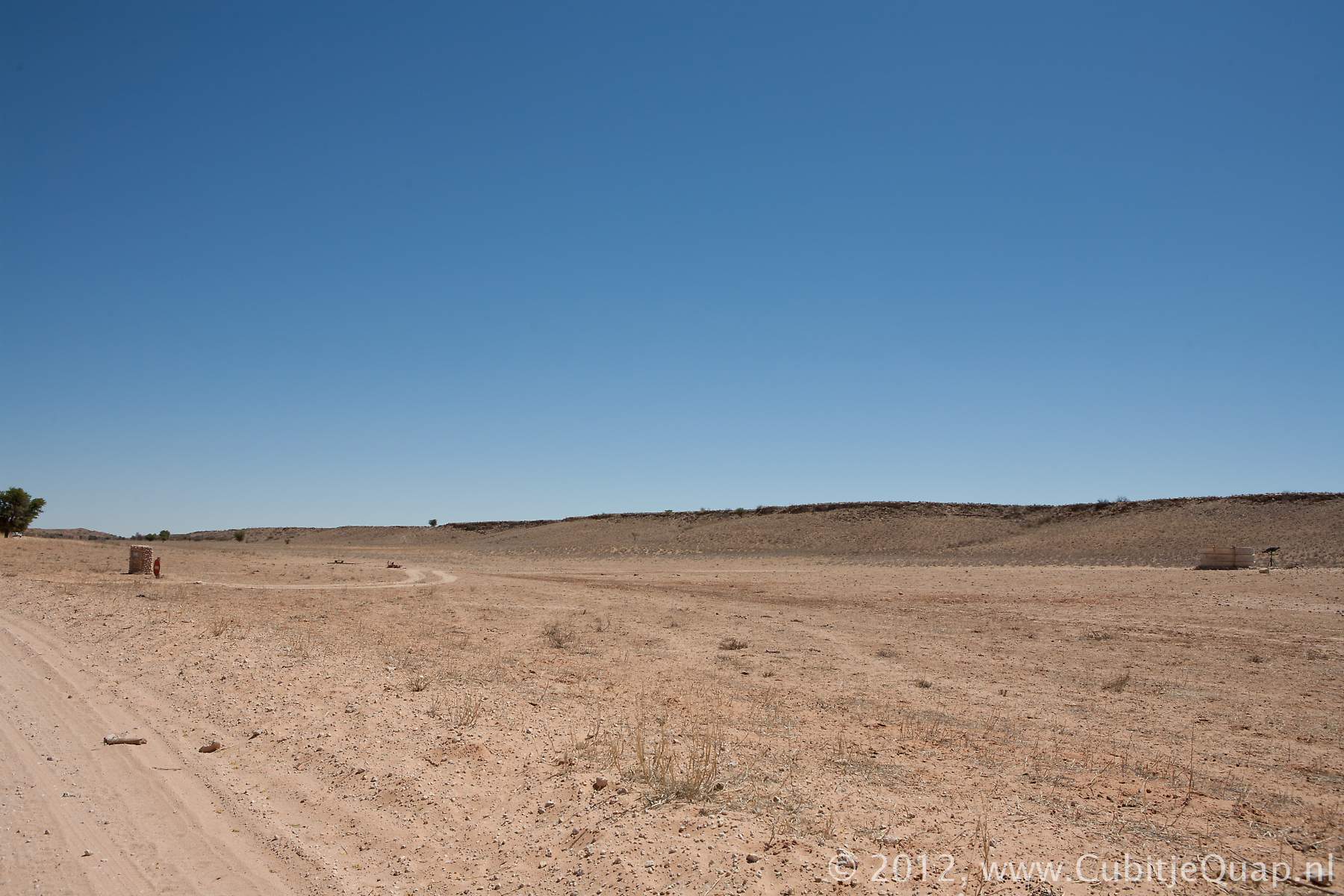
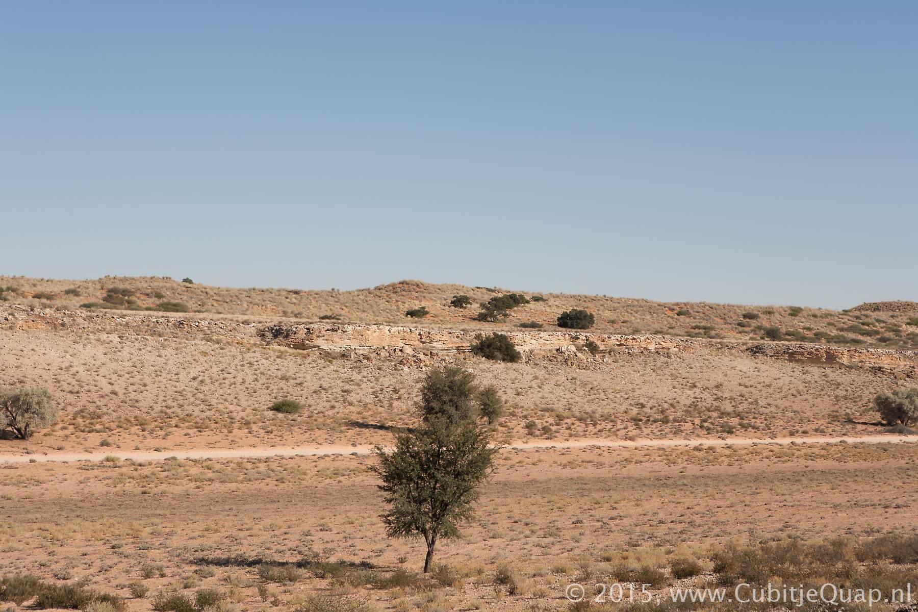
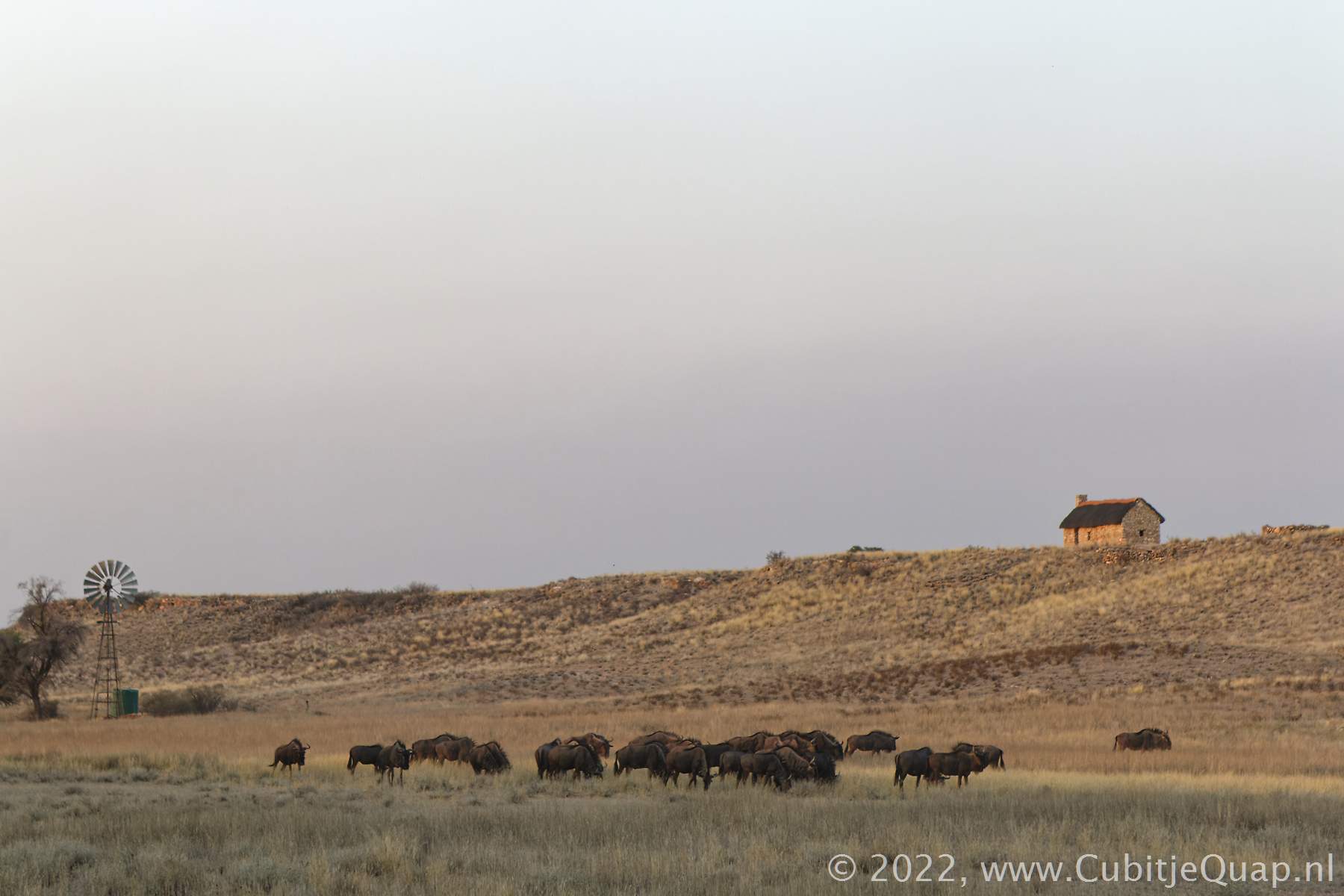
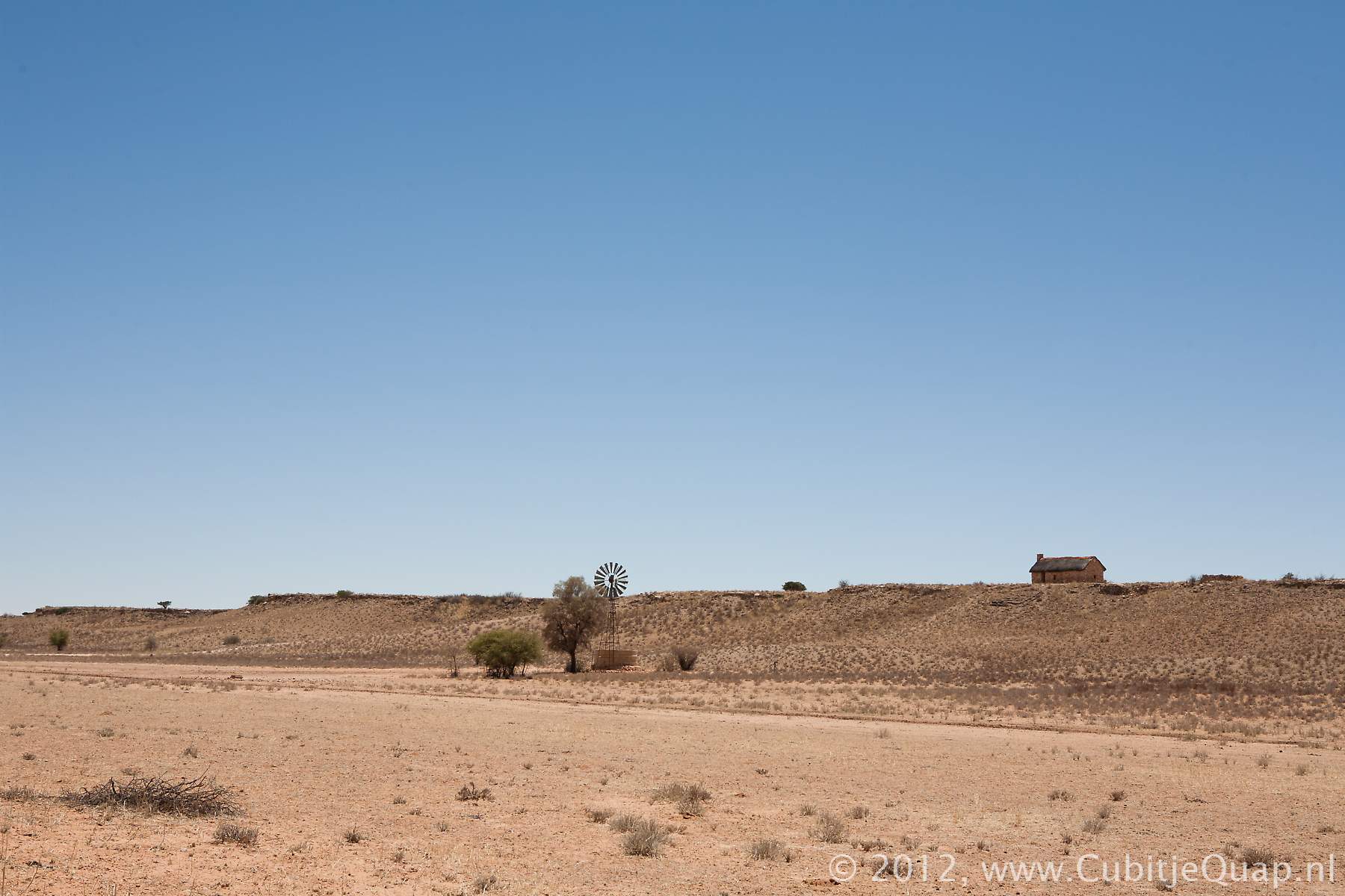
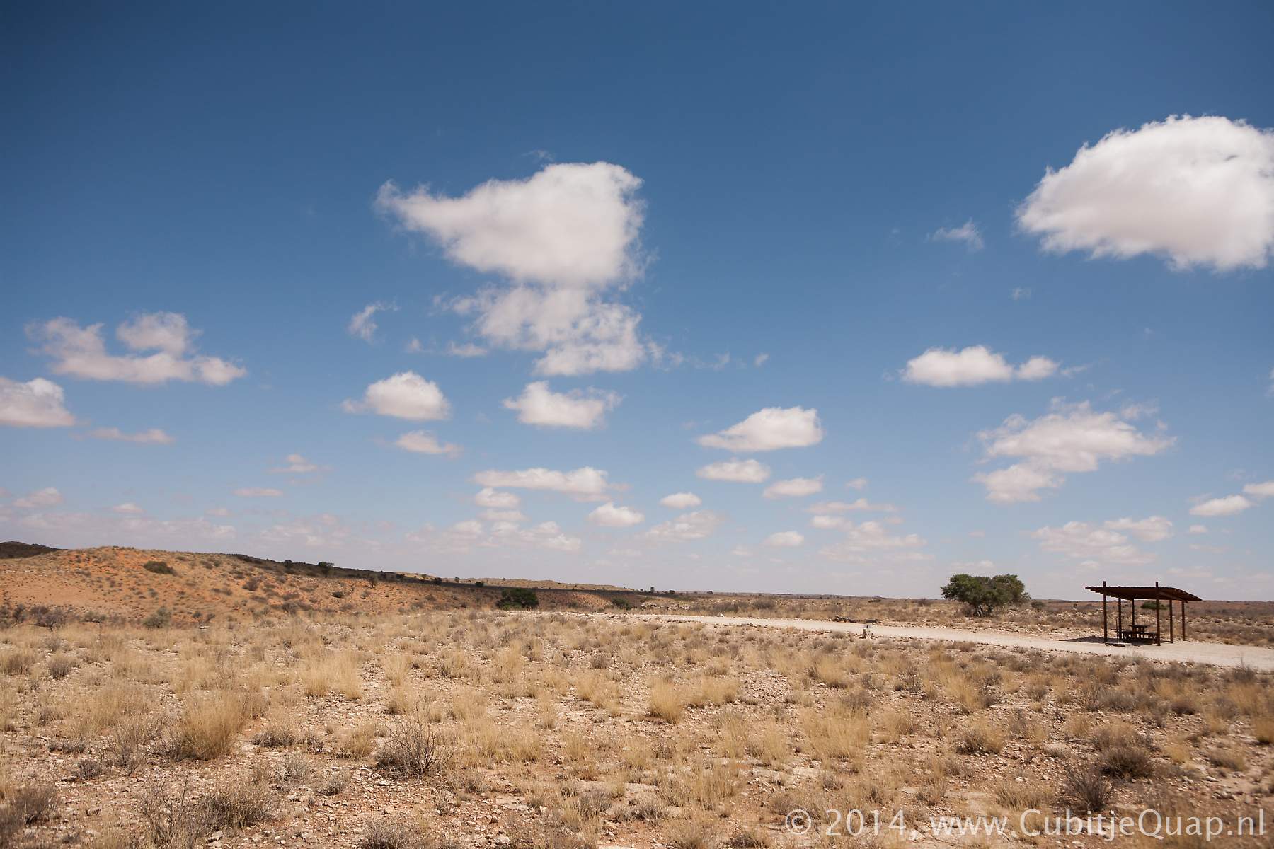
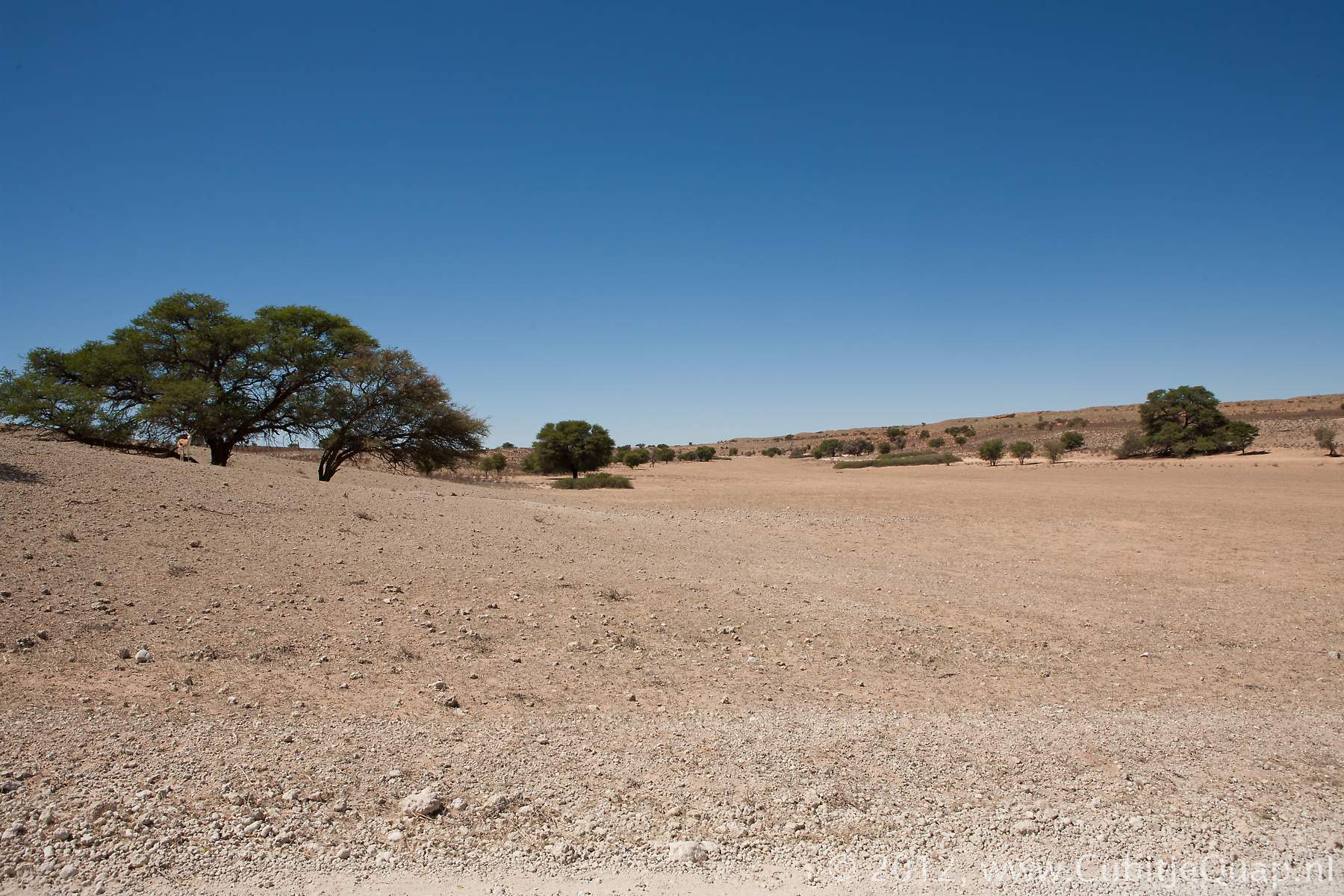
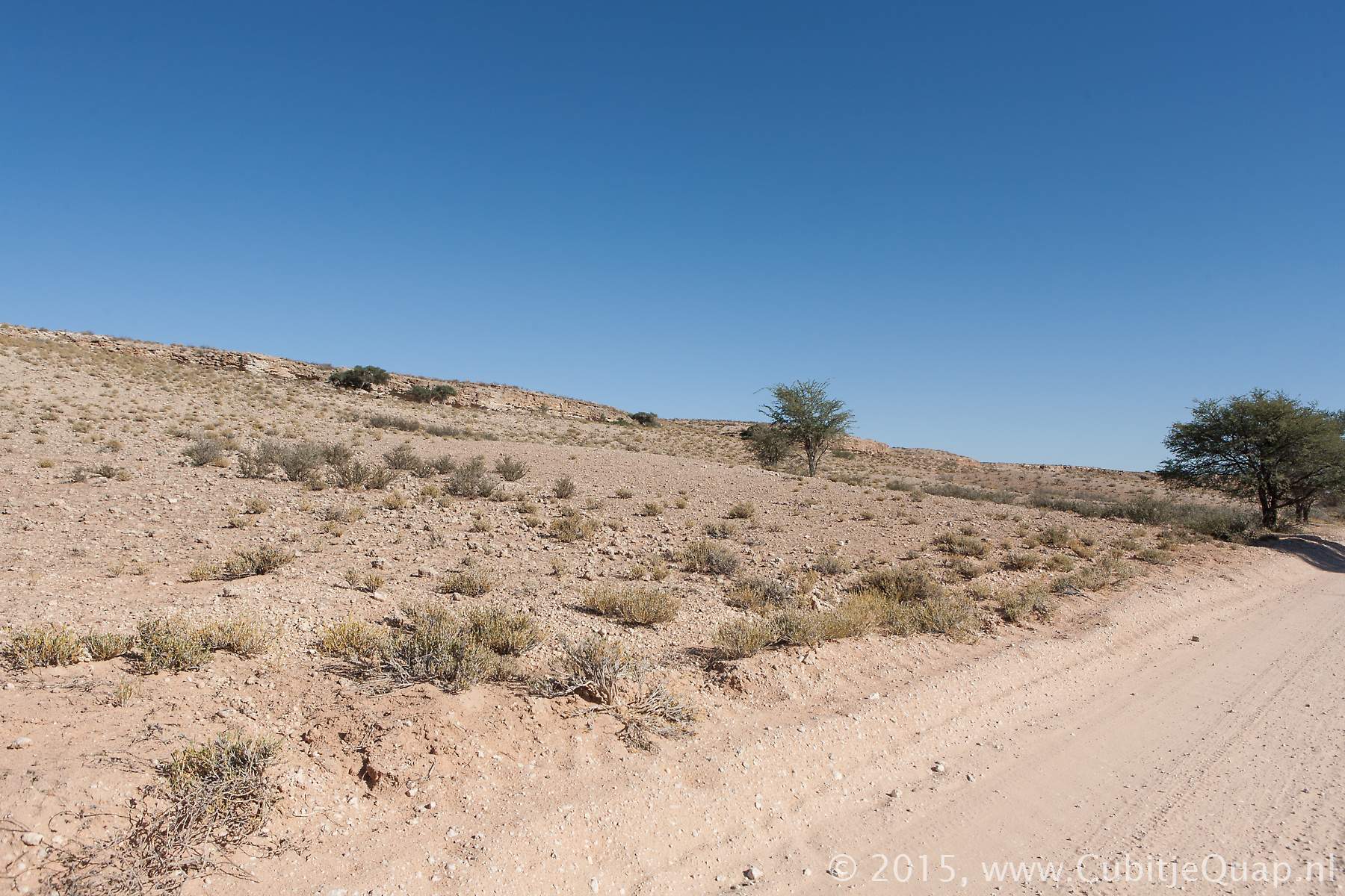
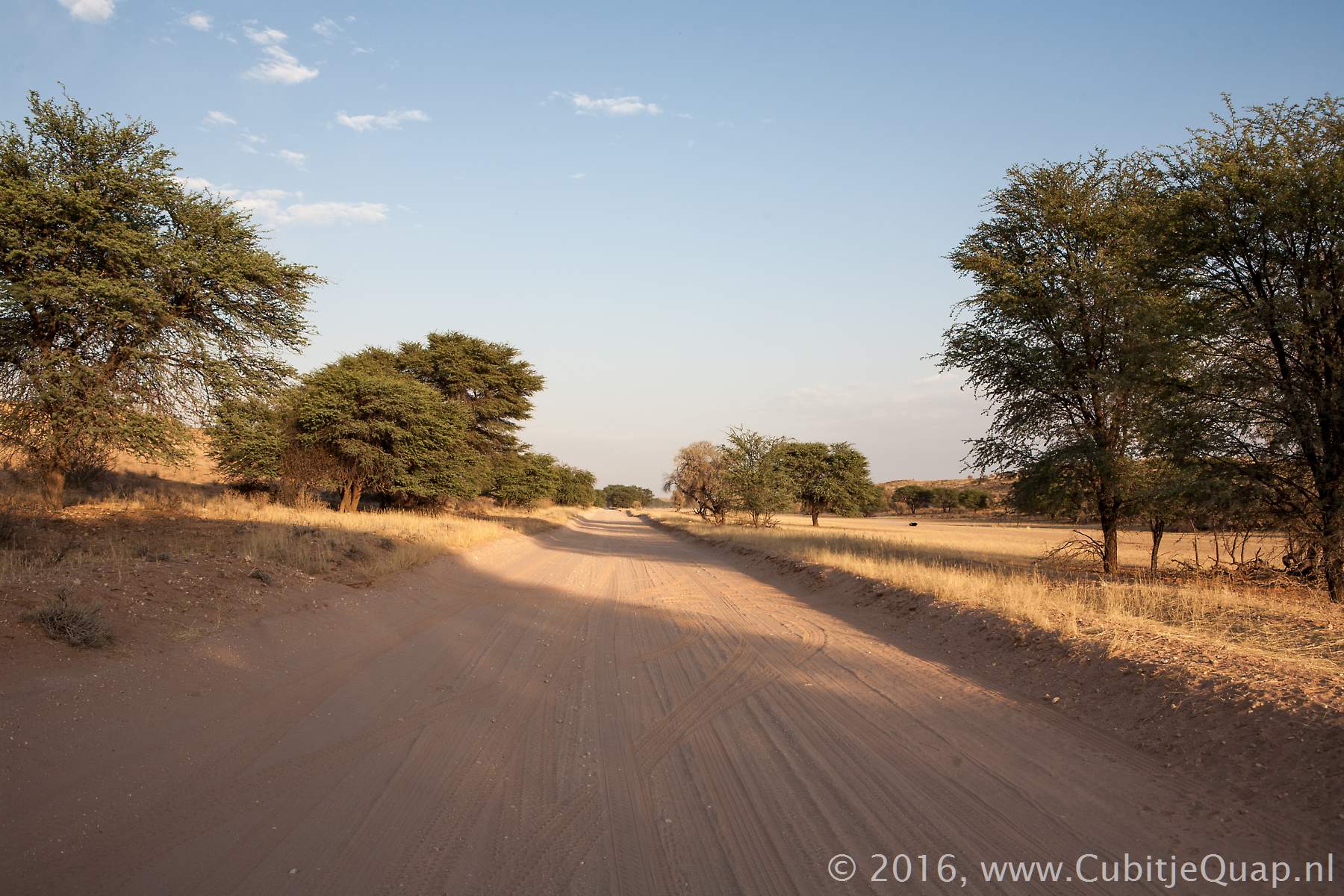
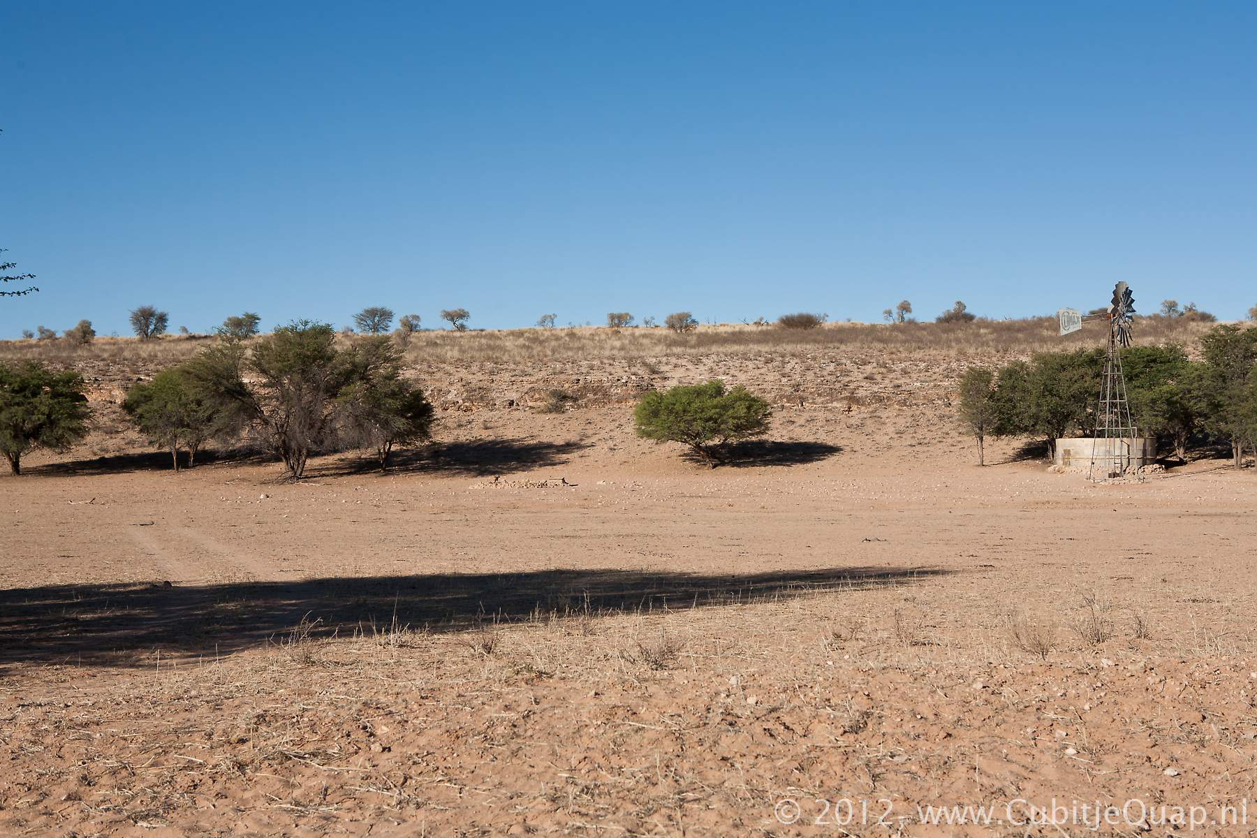
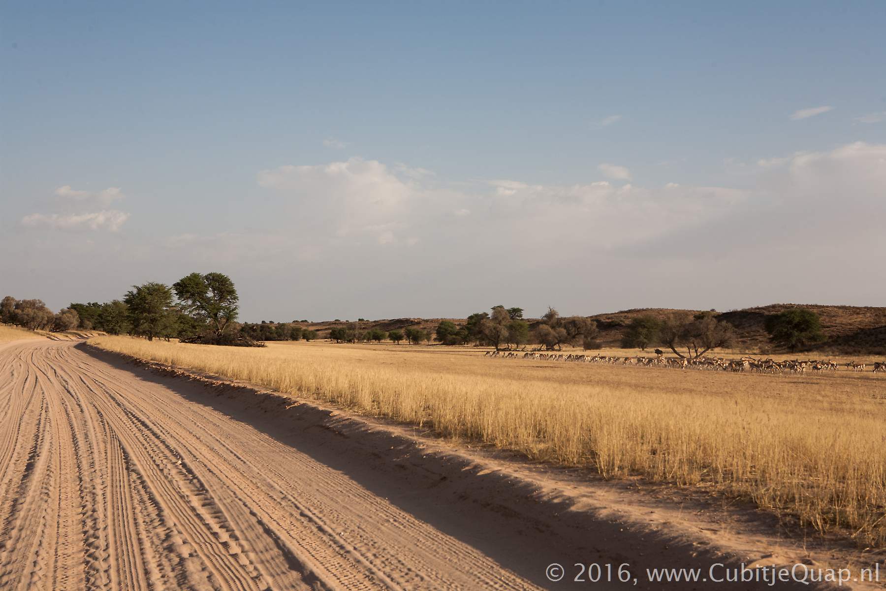
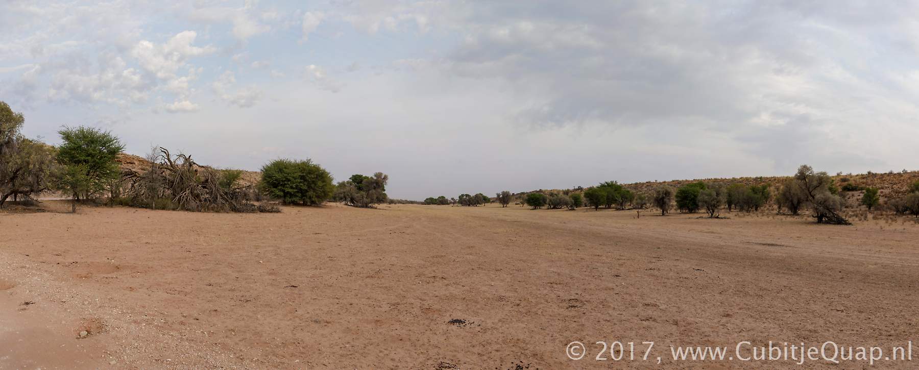
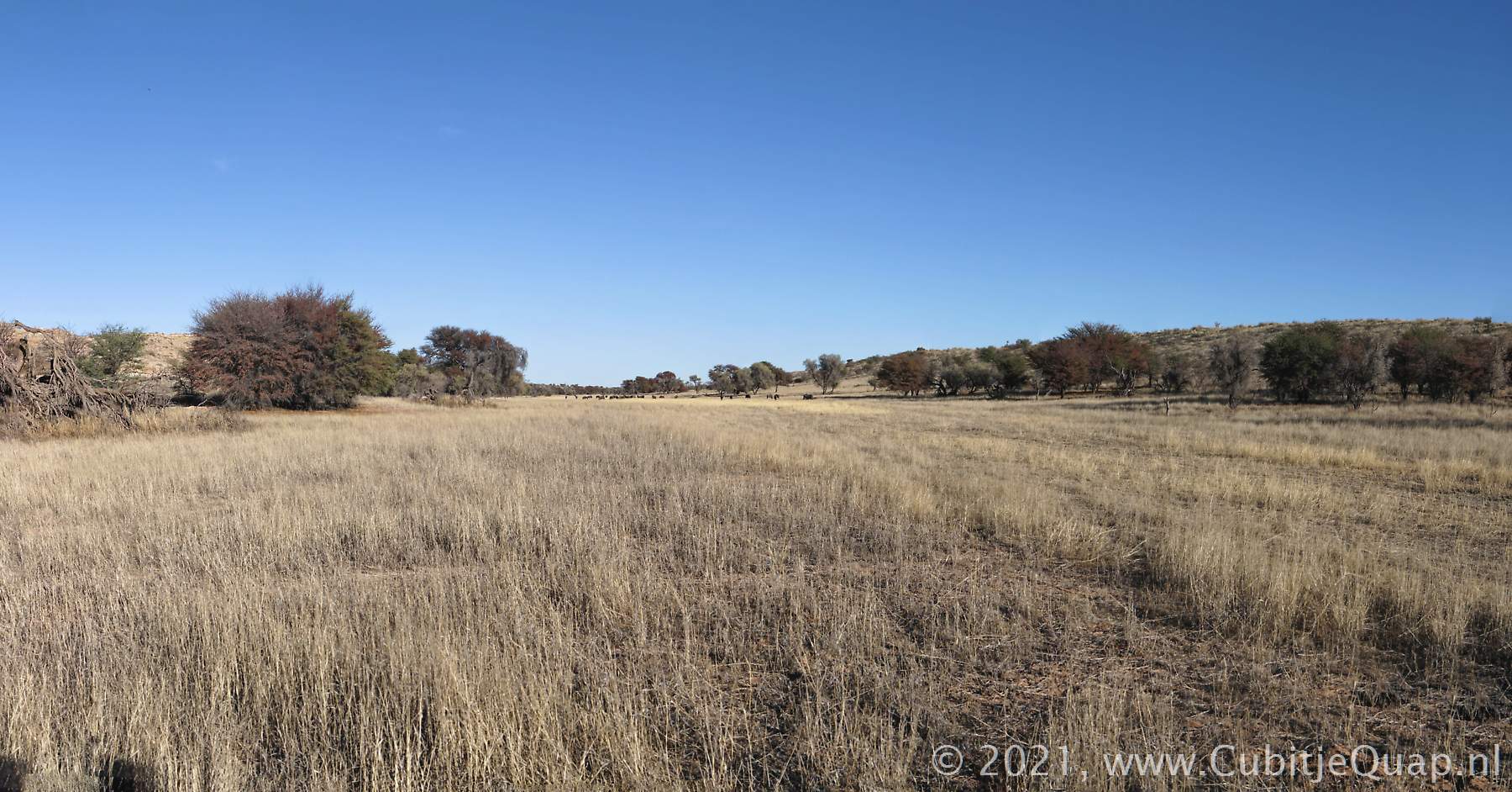
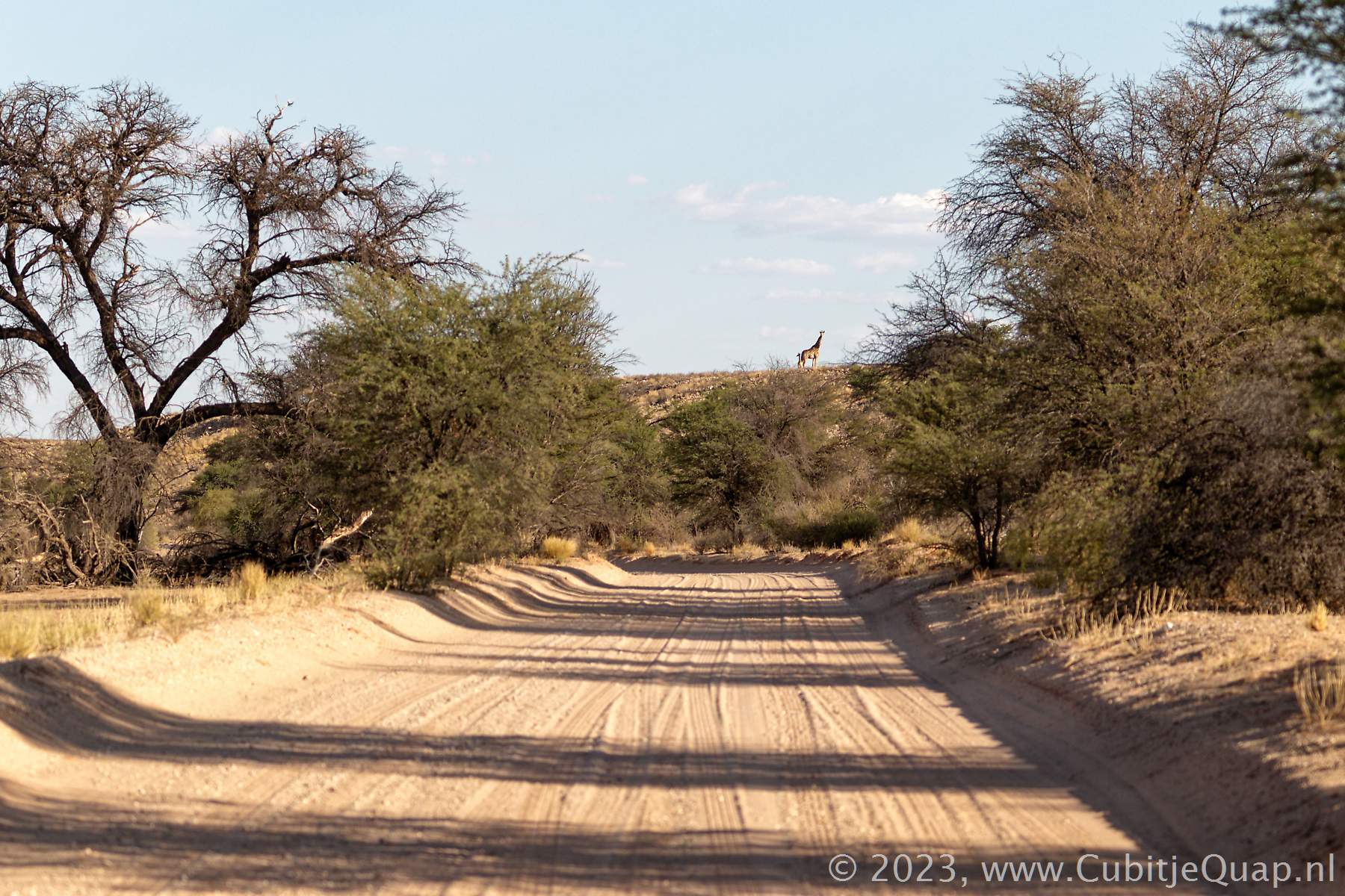
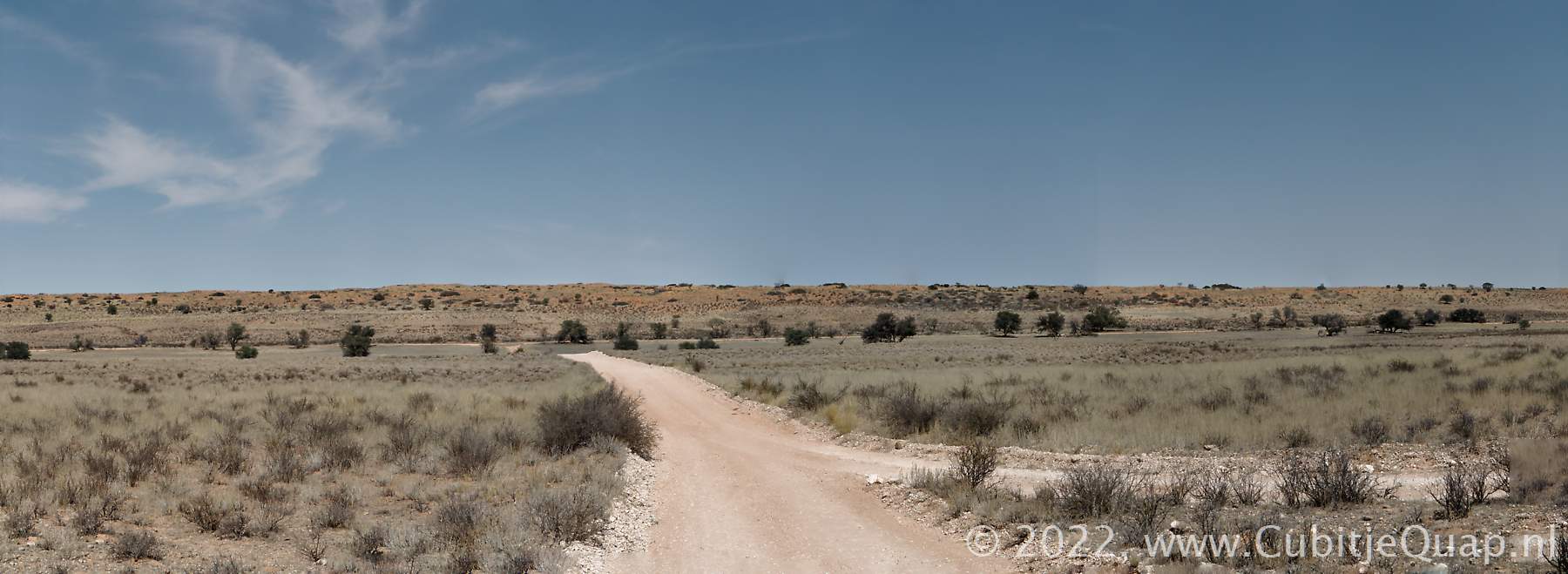
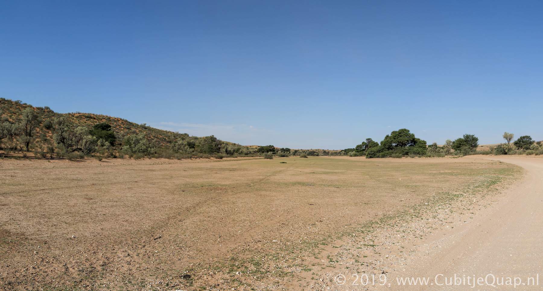
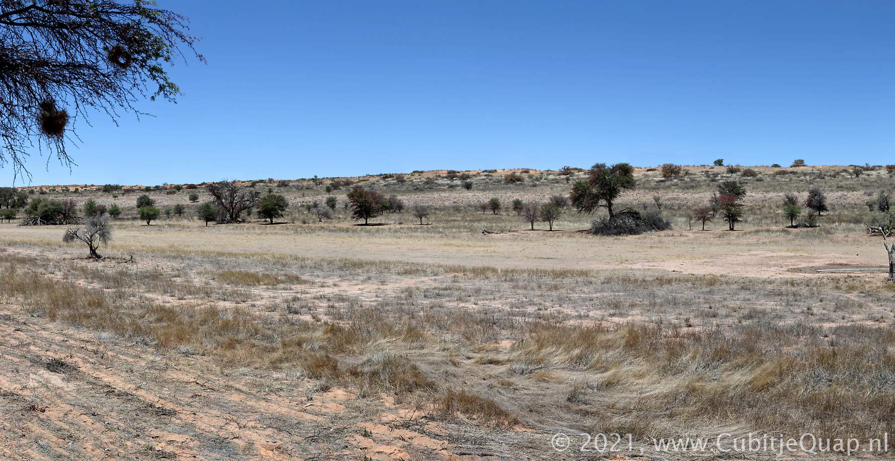
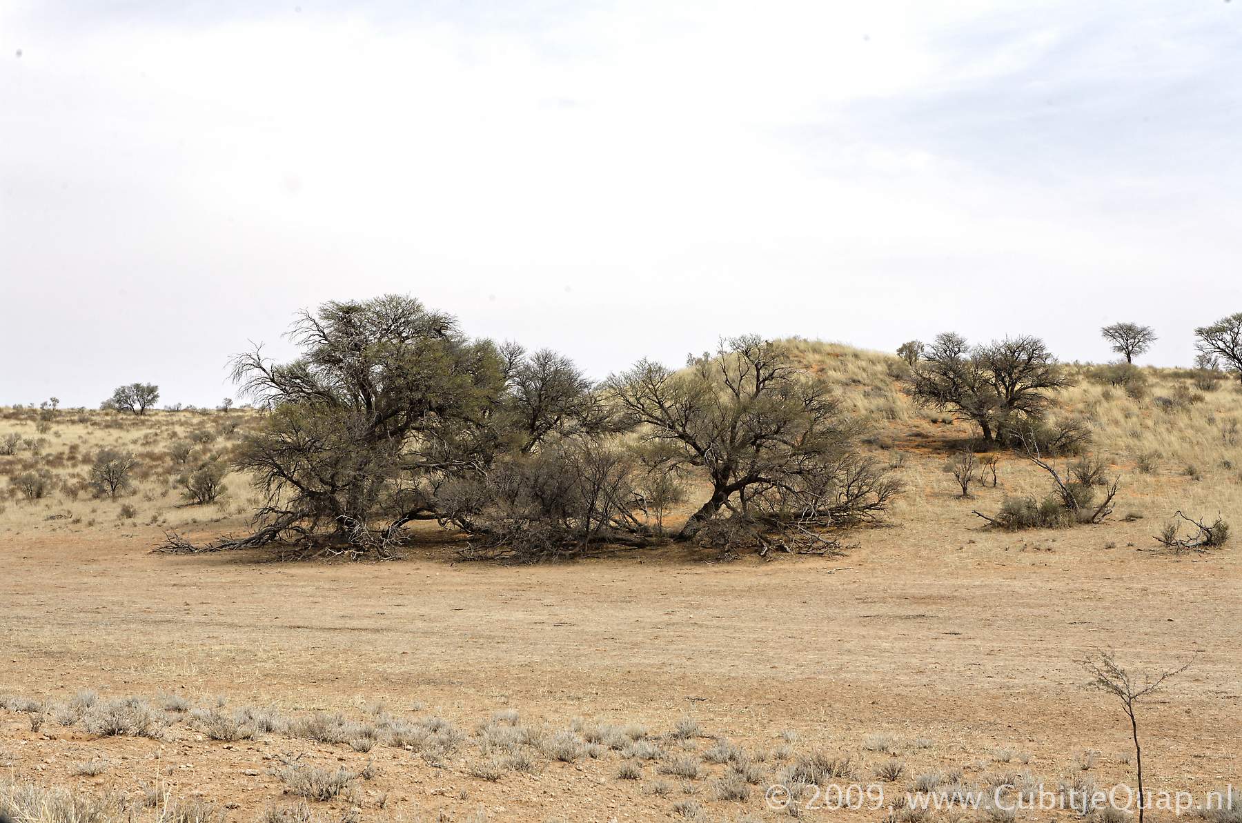
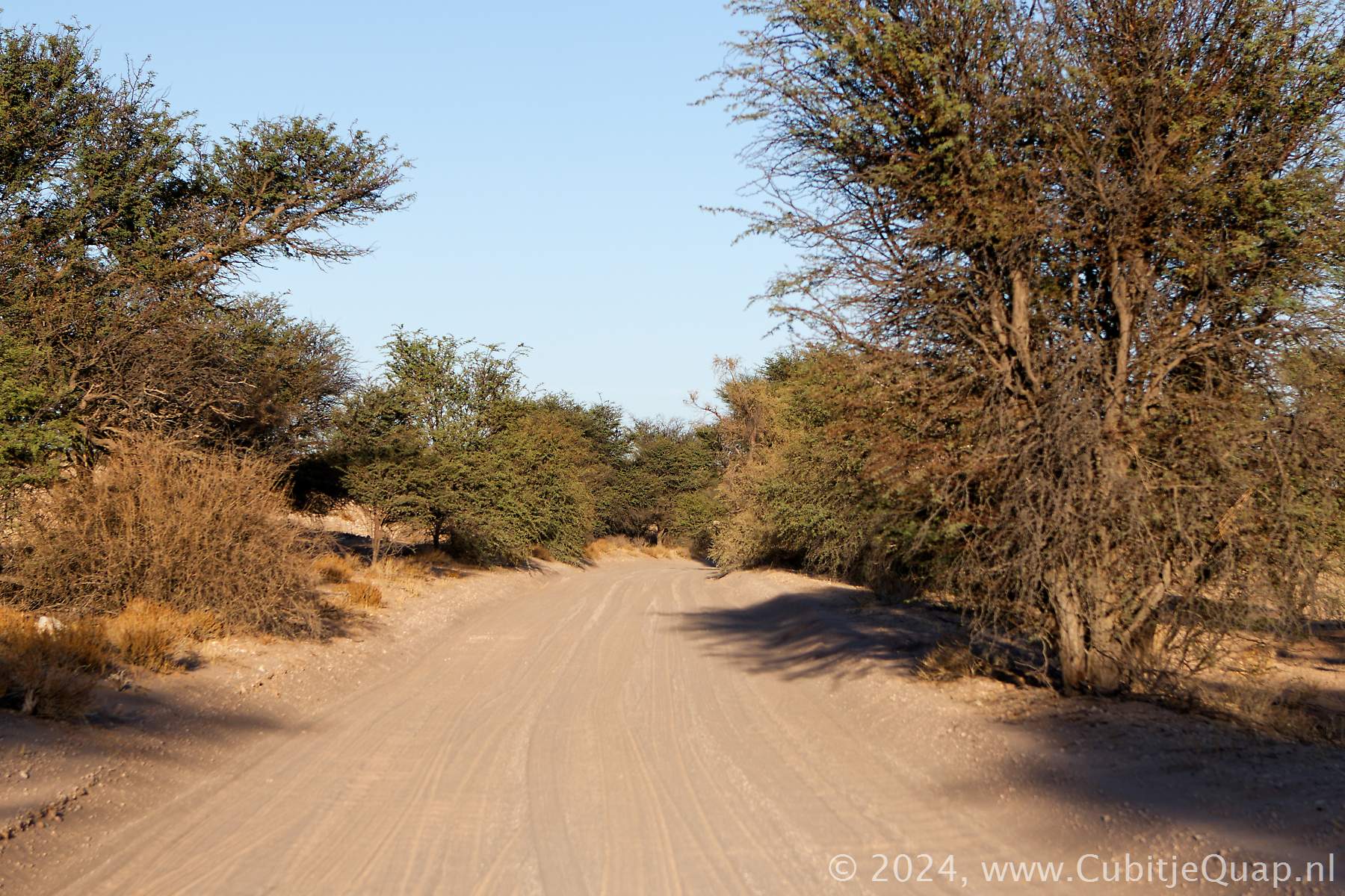
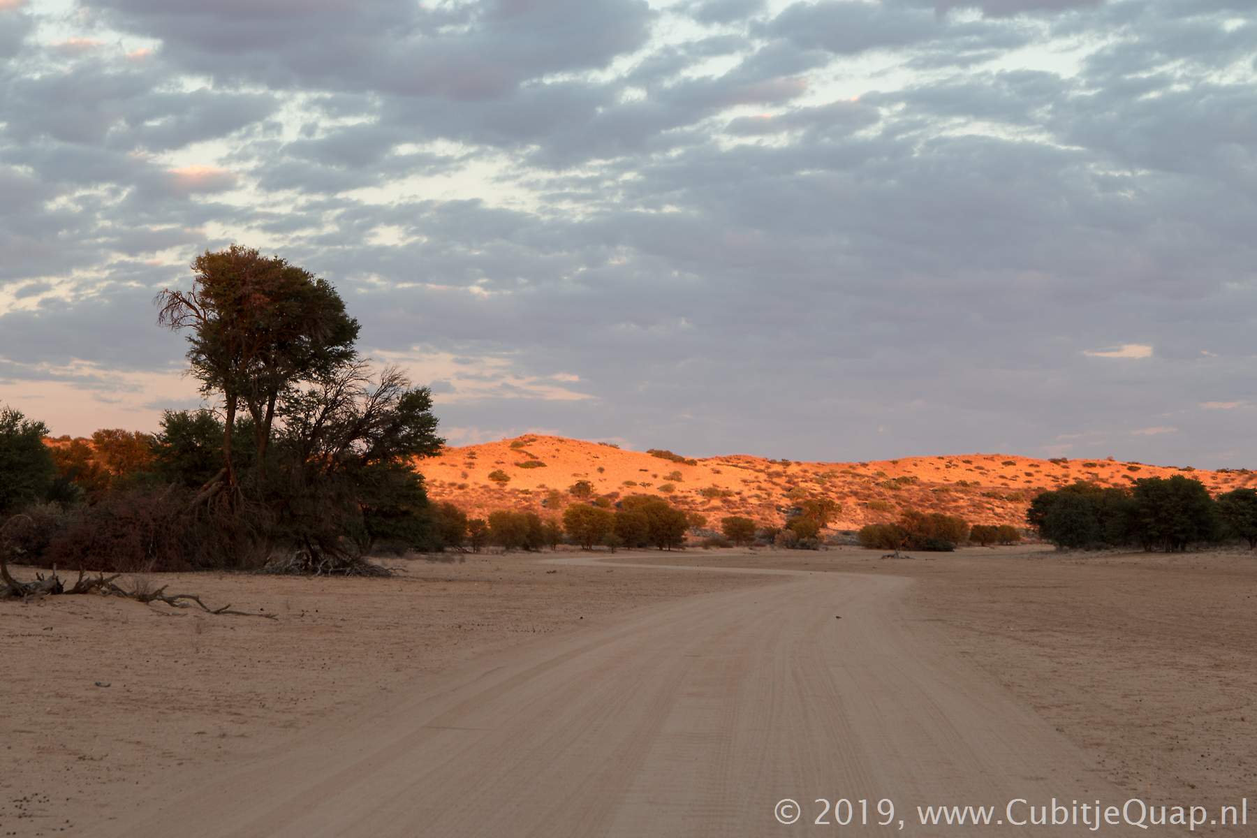
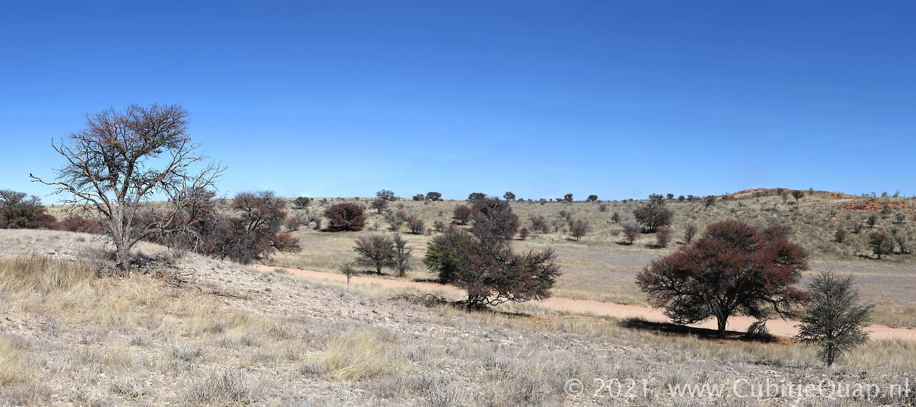
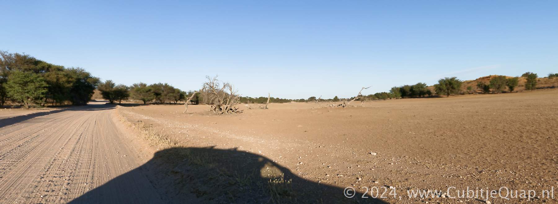
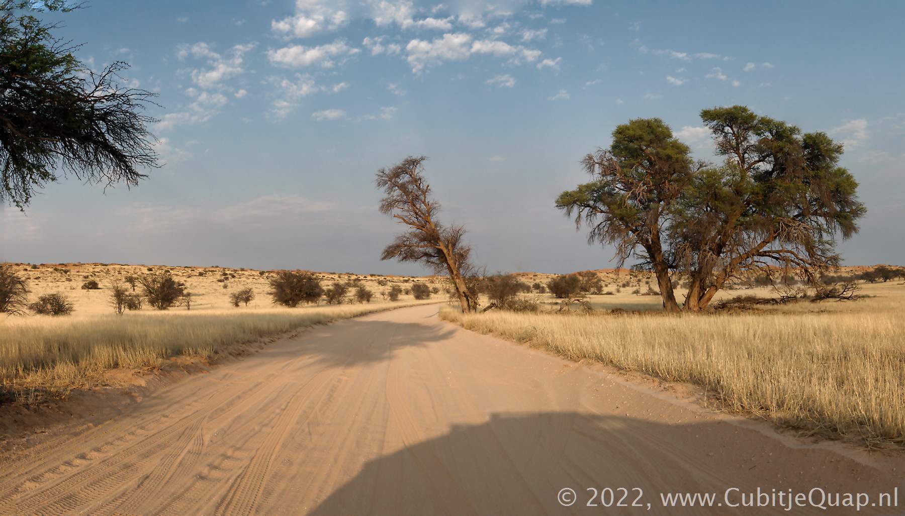
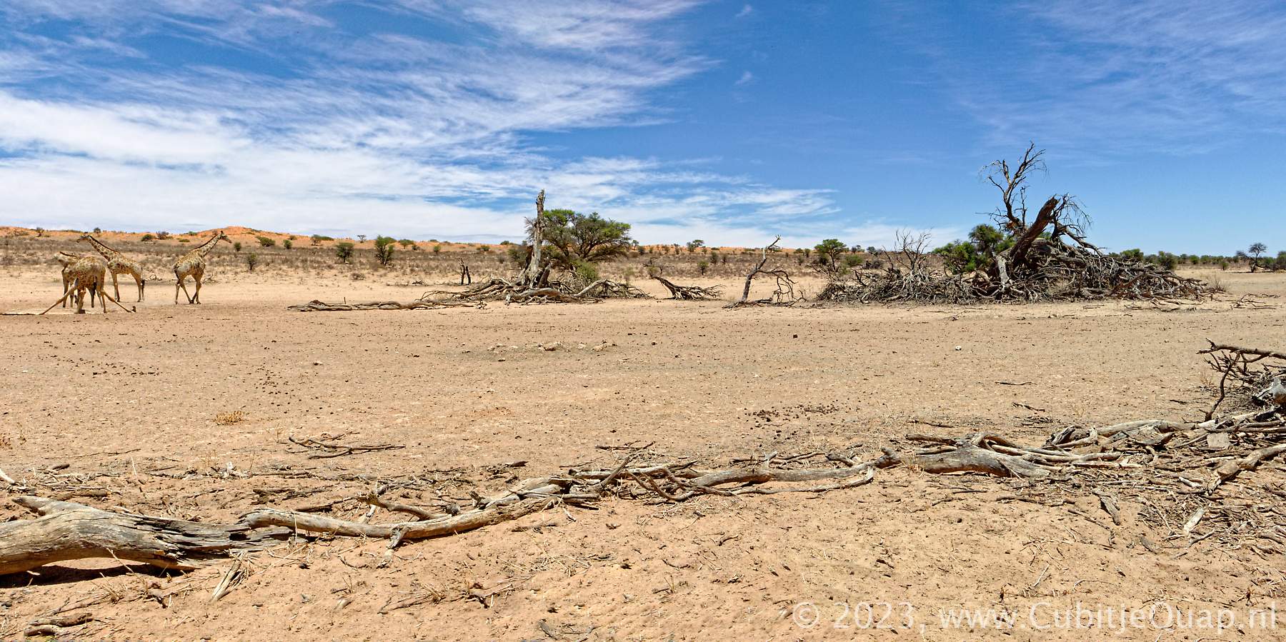
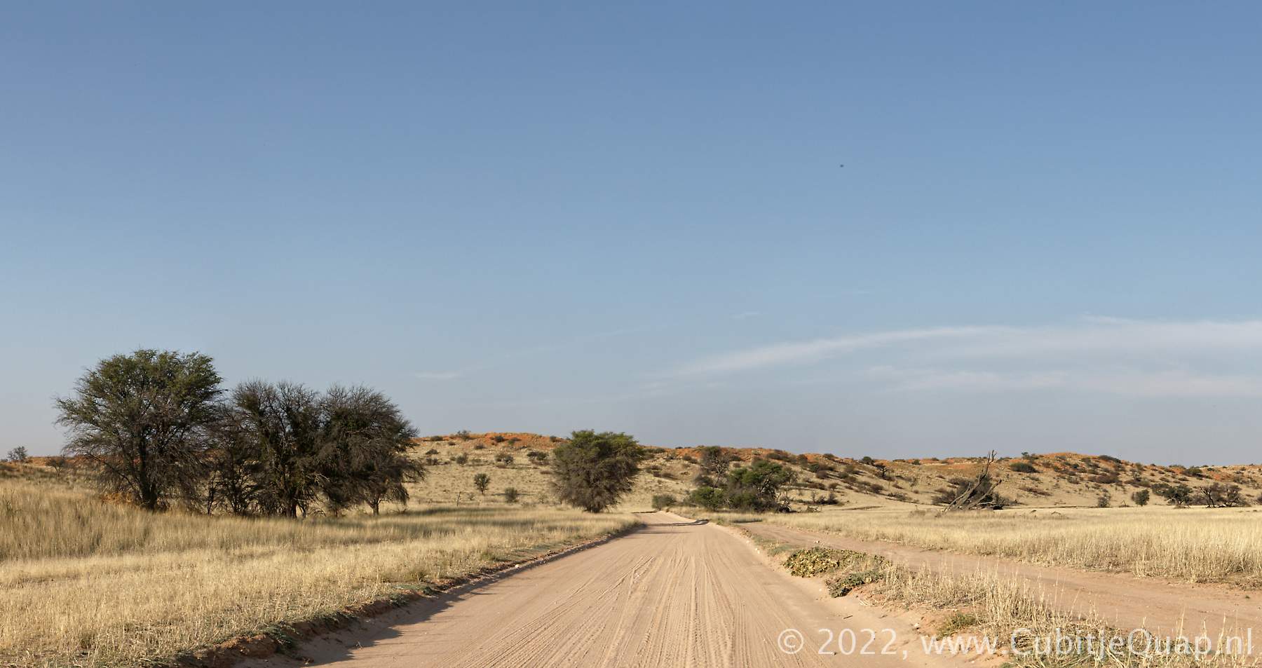
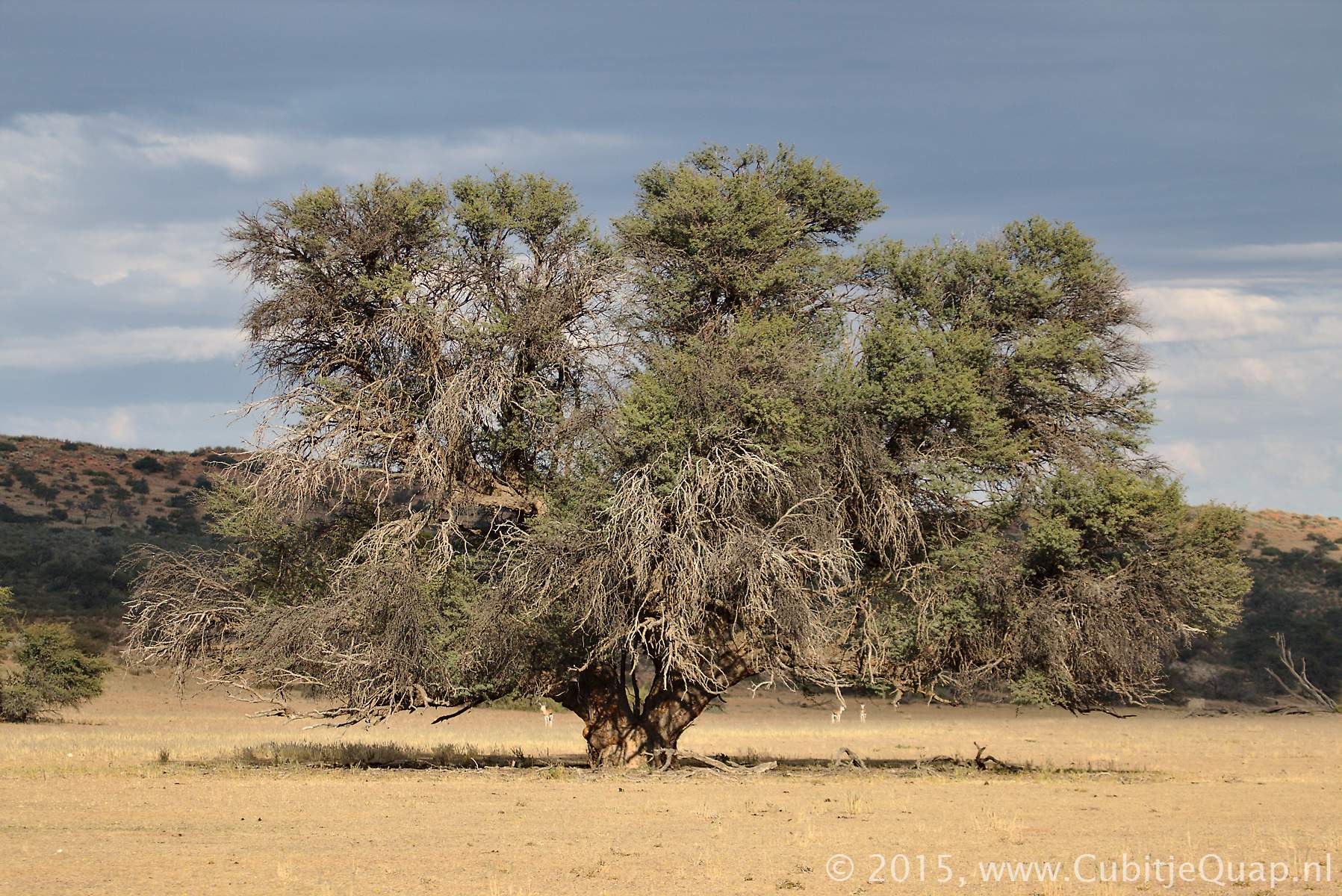
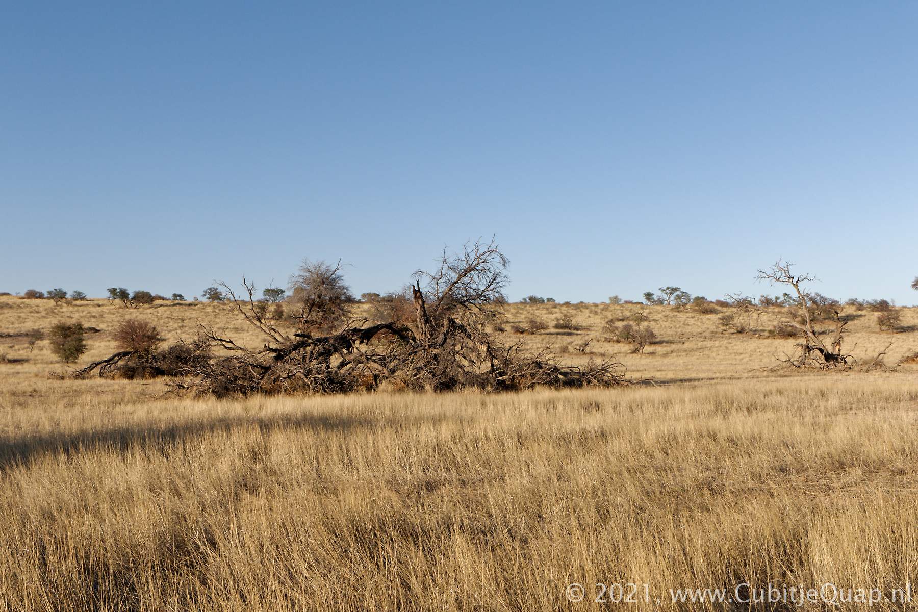
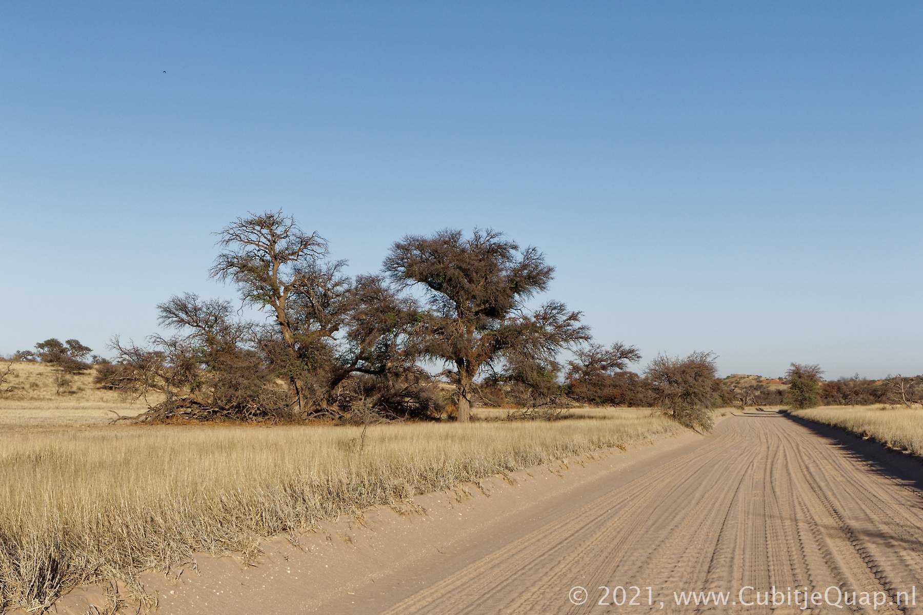
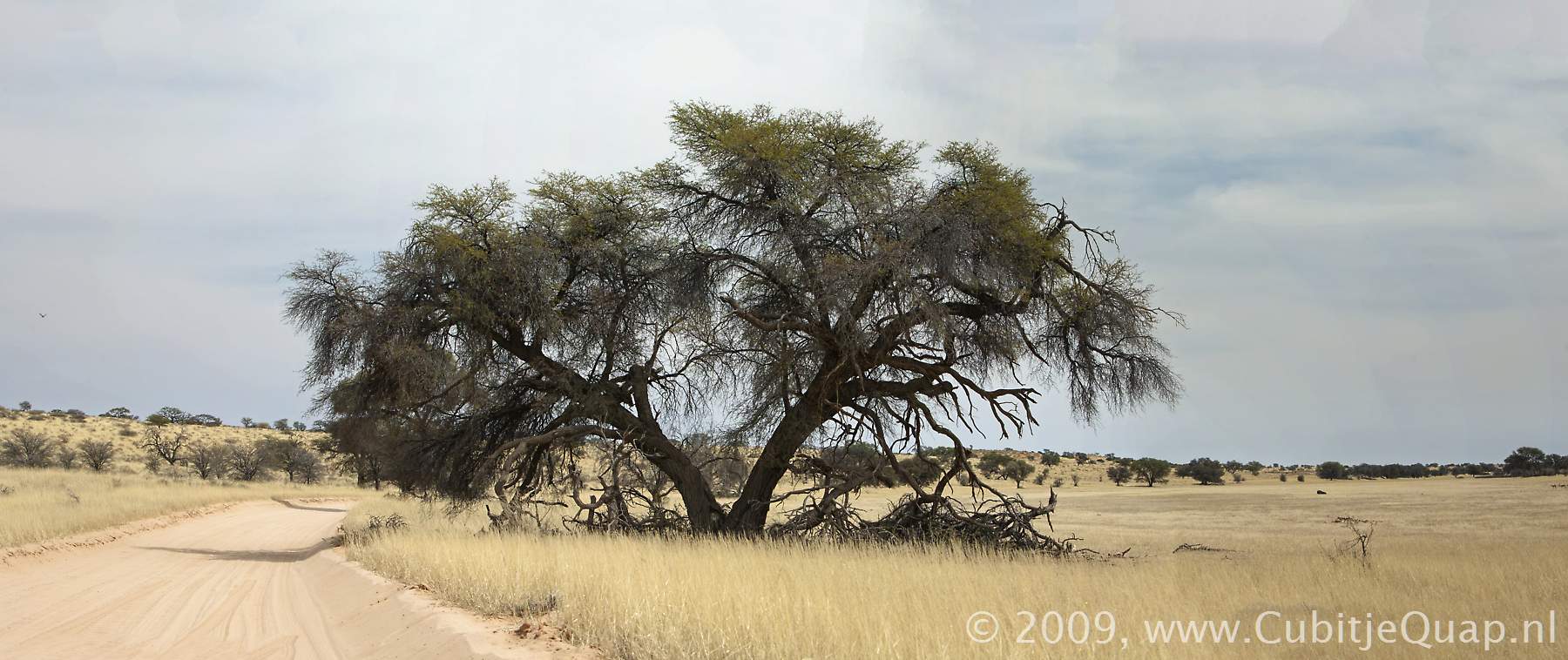
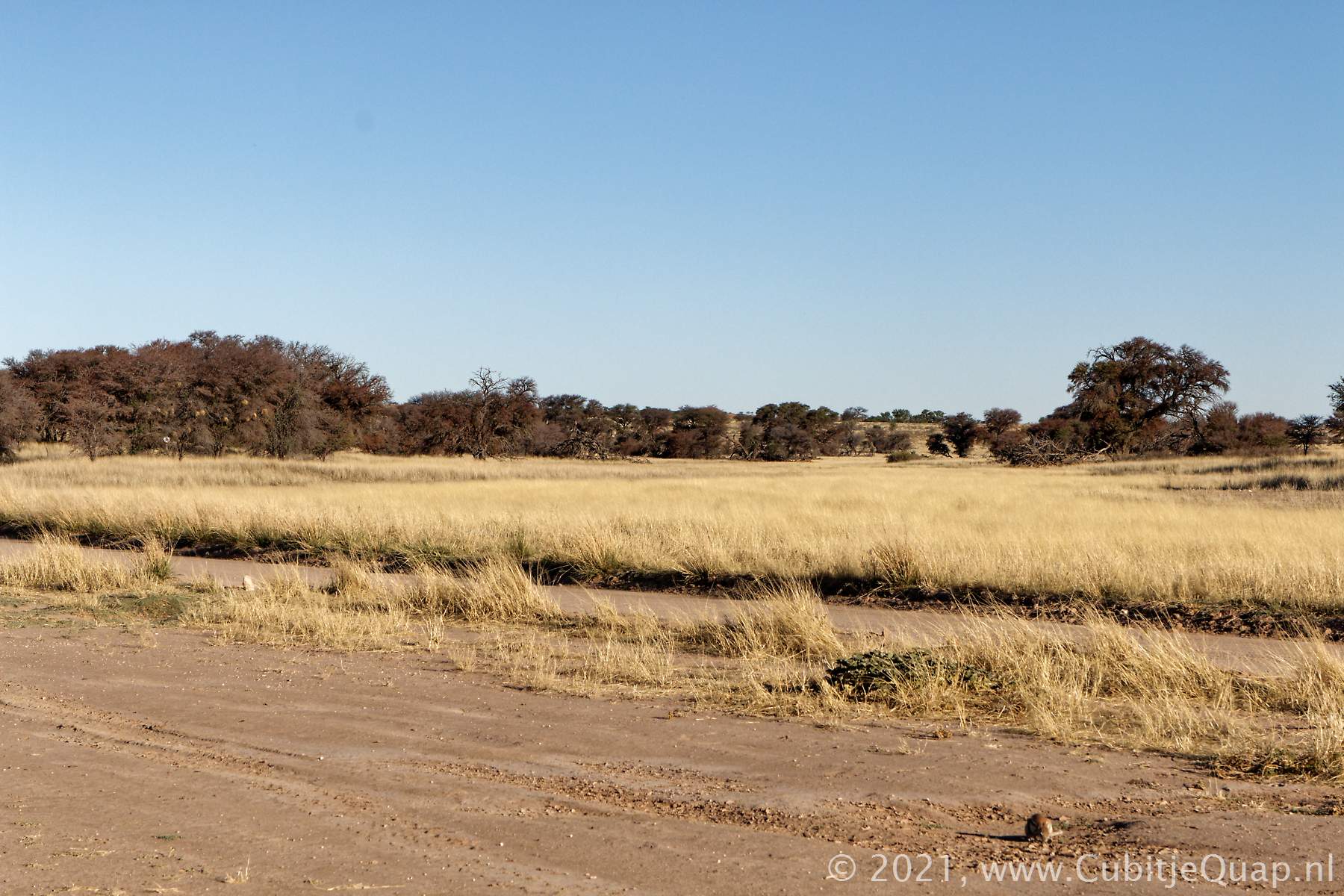
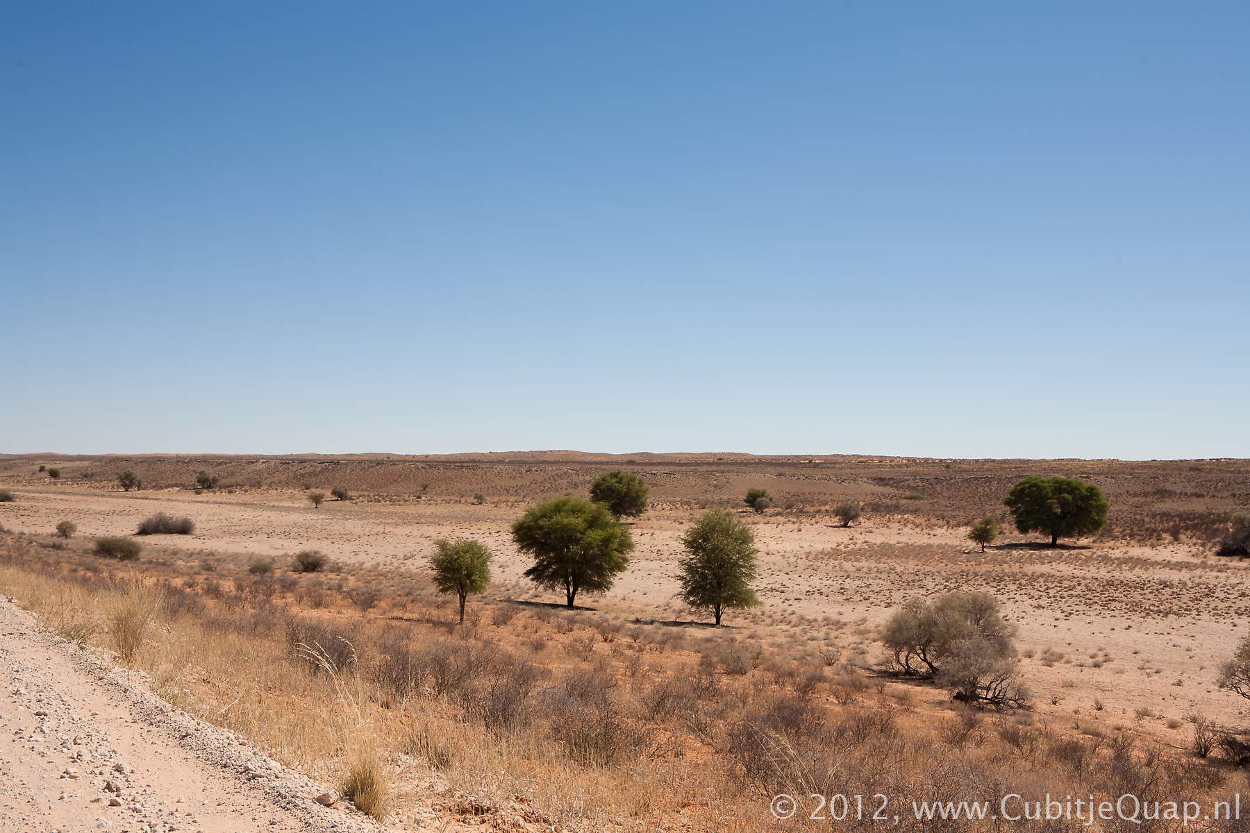
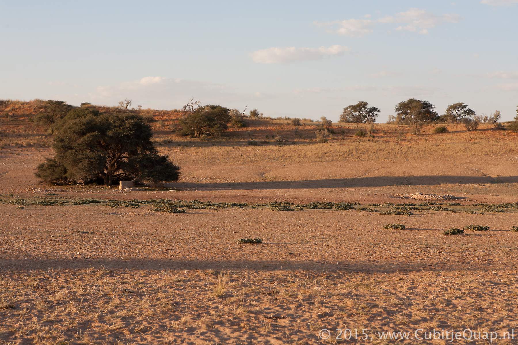
The road from samevloeiing to the actual riverbed crosses a dune area for ten kilometers. The first waterhole along the river is Houmoed. The road follows the riverbed on the eastern bank. There are two places where you can cross the river to enjoy the landscape from a viewpoint on the opposite bank.Auchterlonie picnicspot overlooks the river from the western edge.
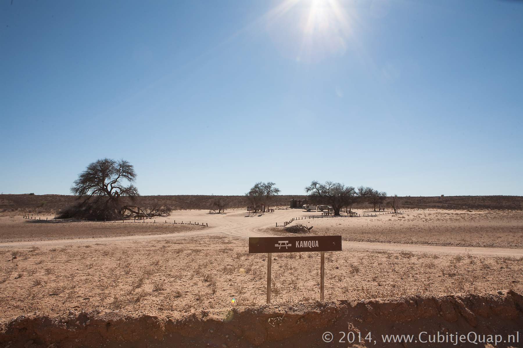
Auchterlonie to Kamqua
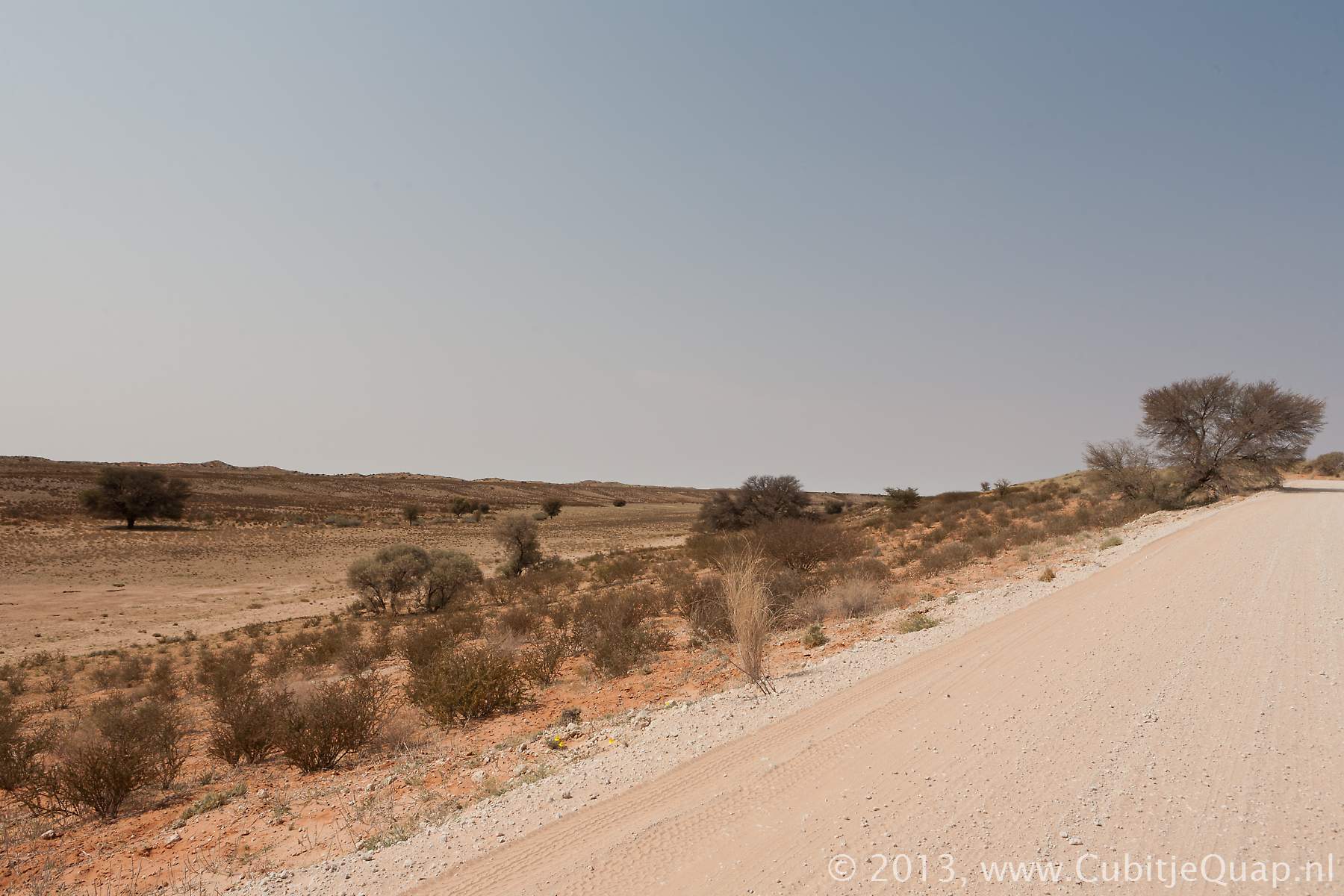
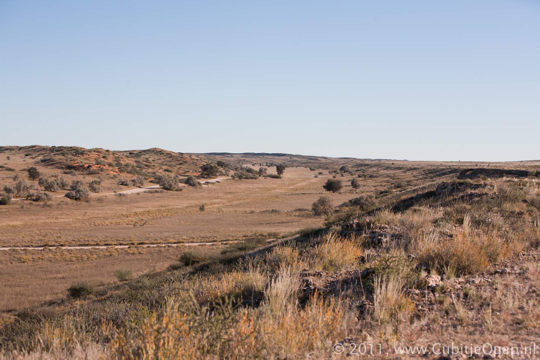
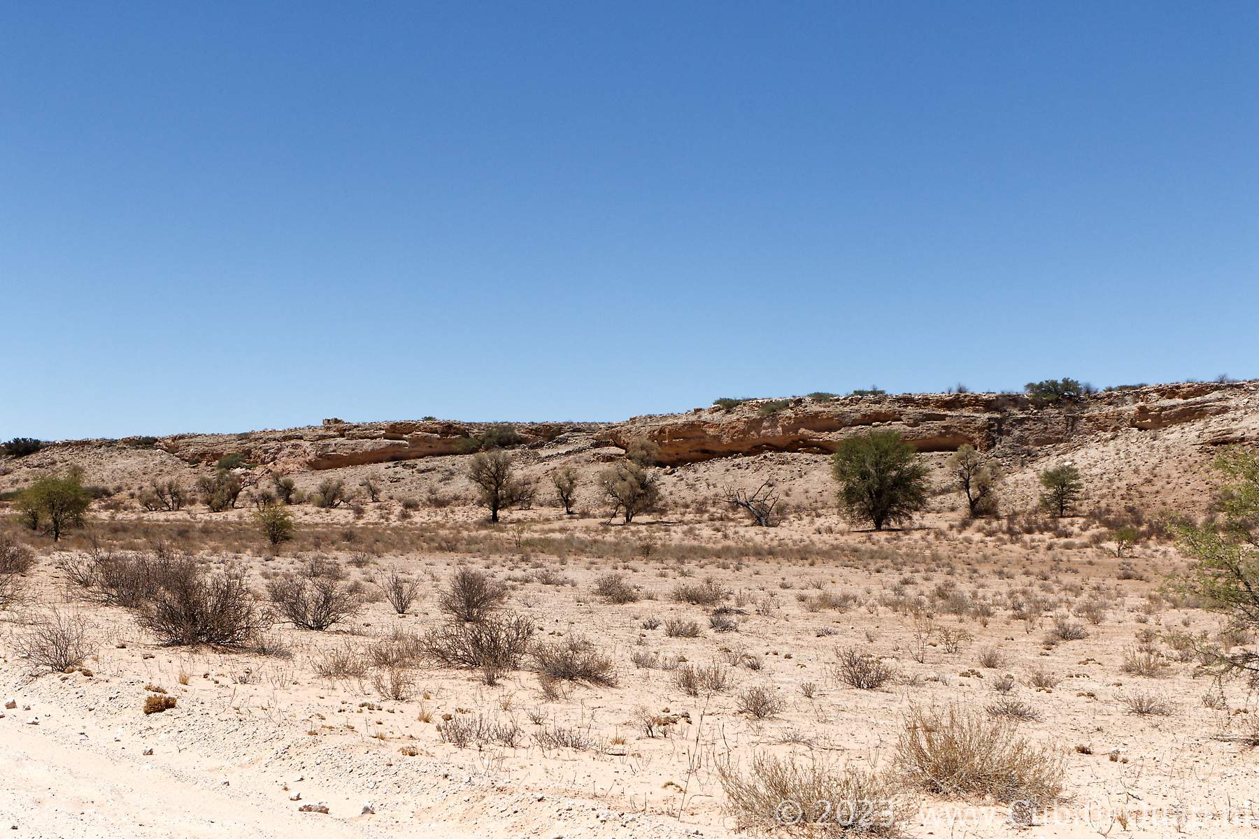
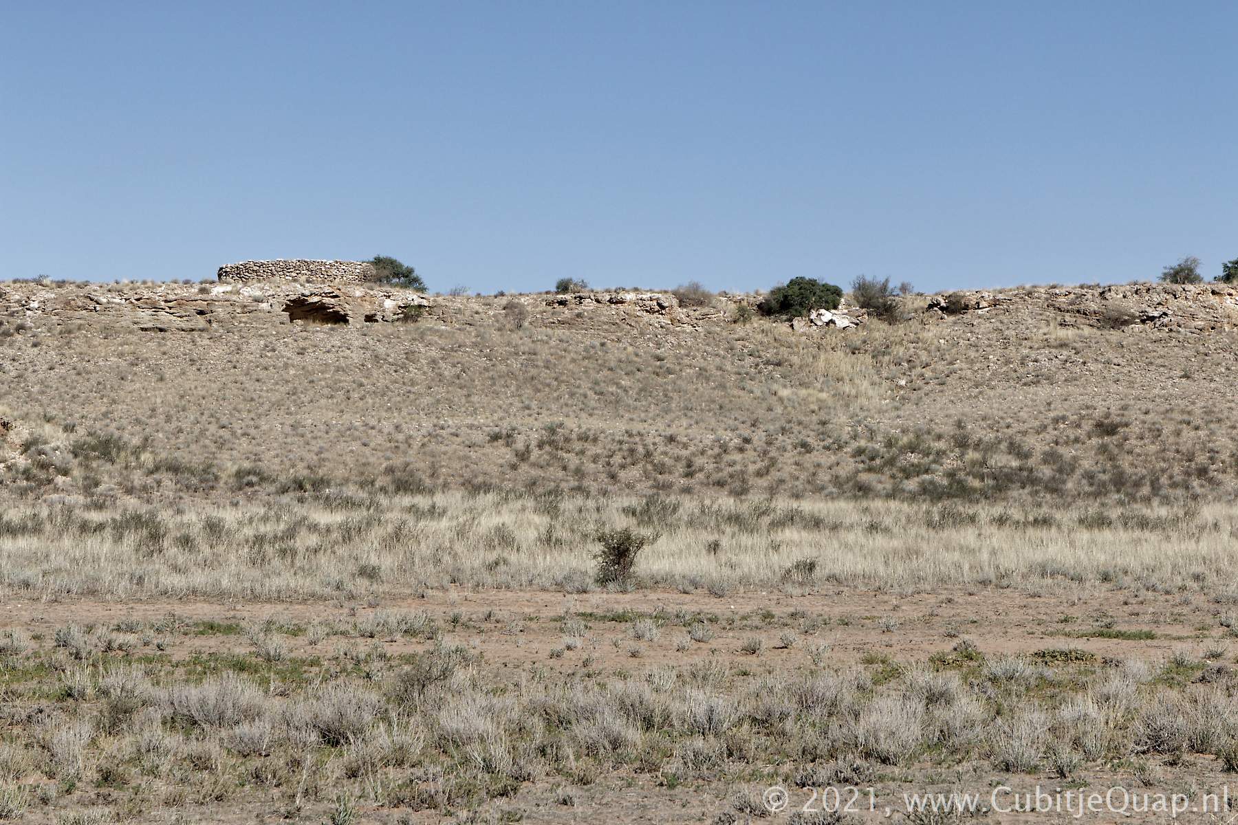
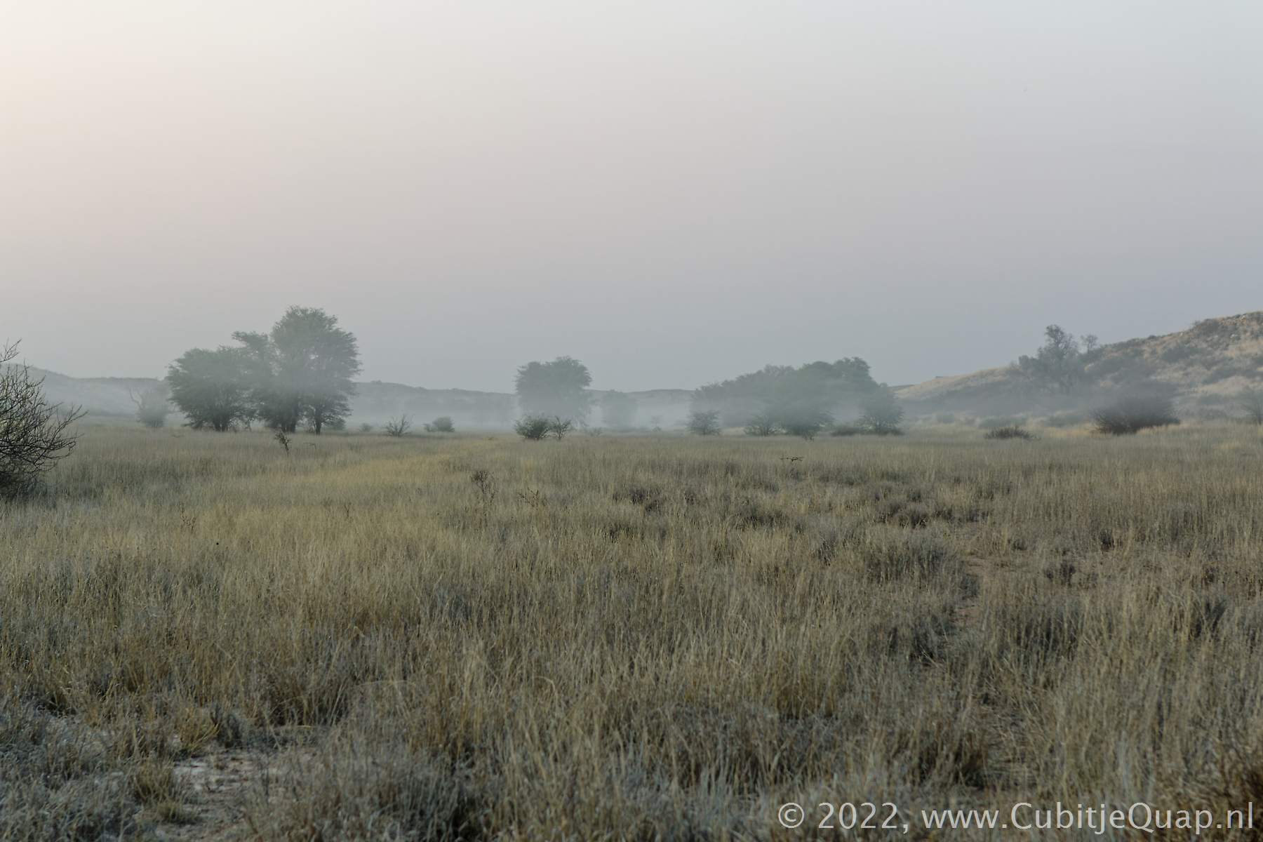
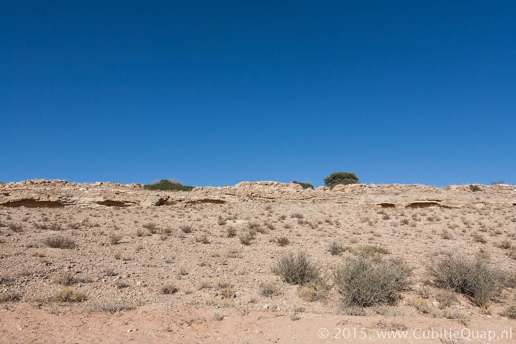
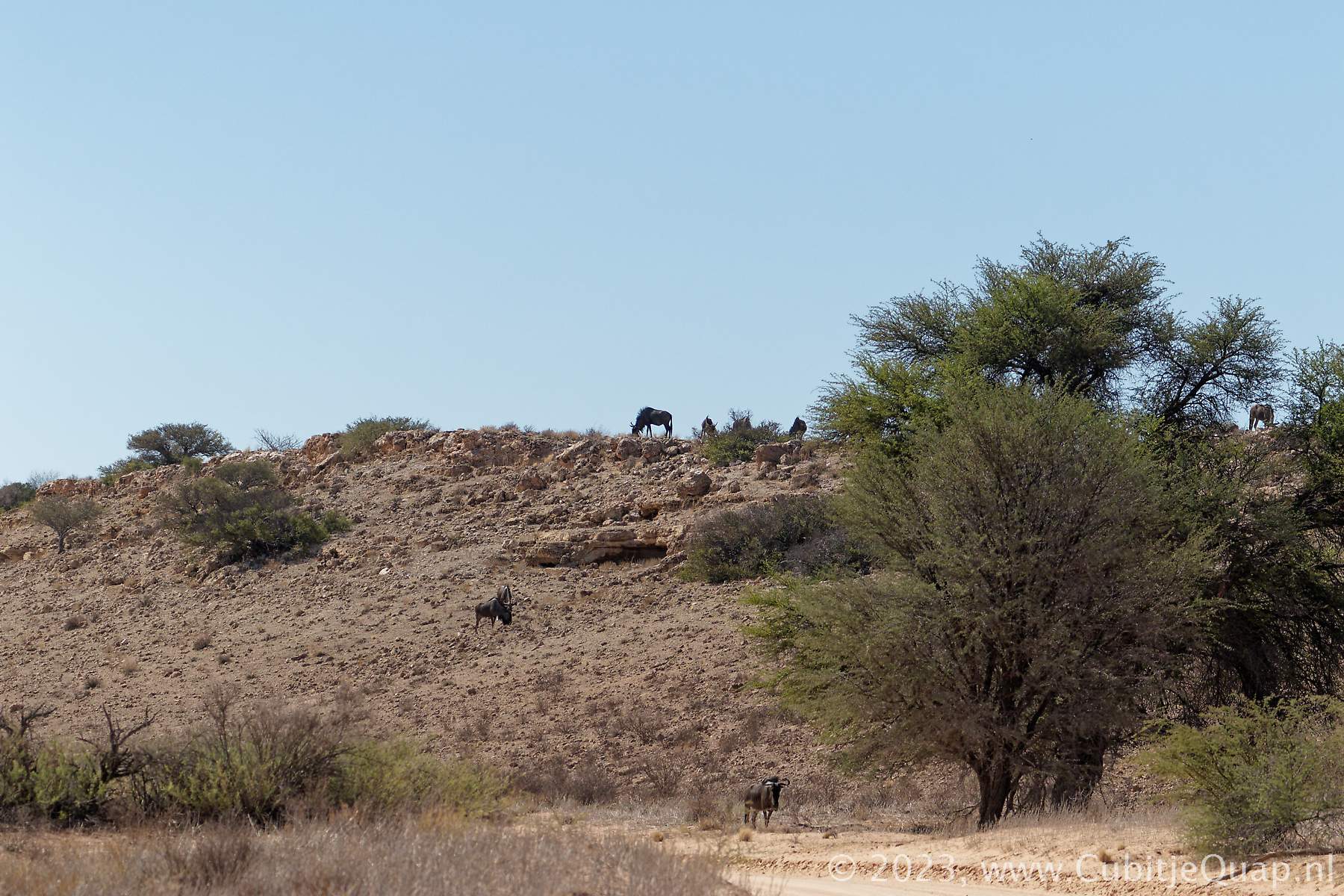
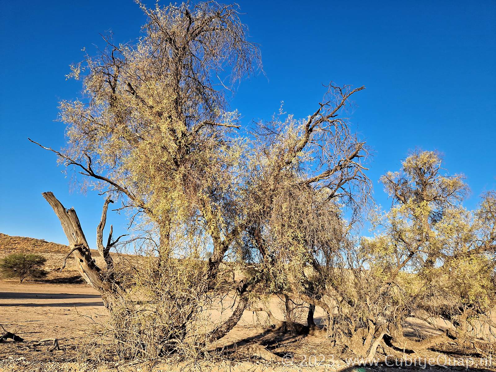
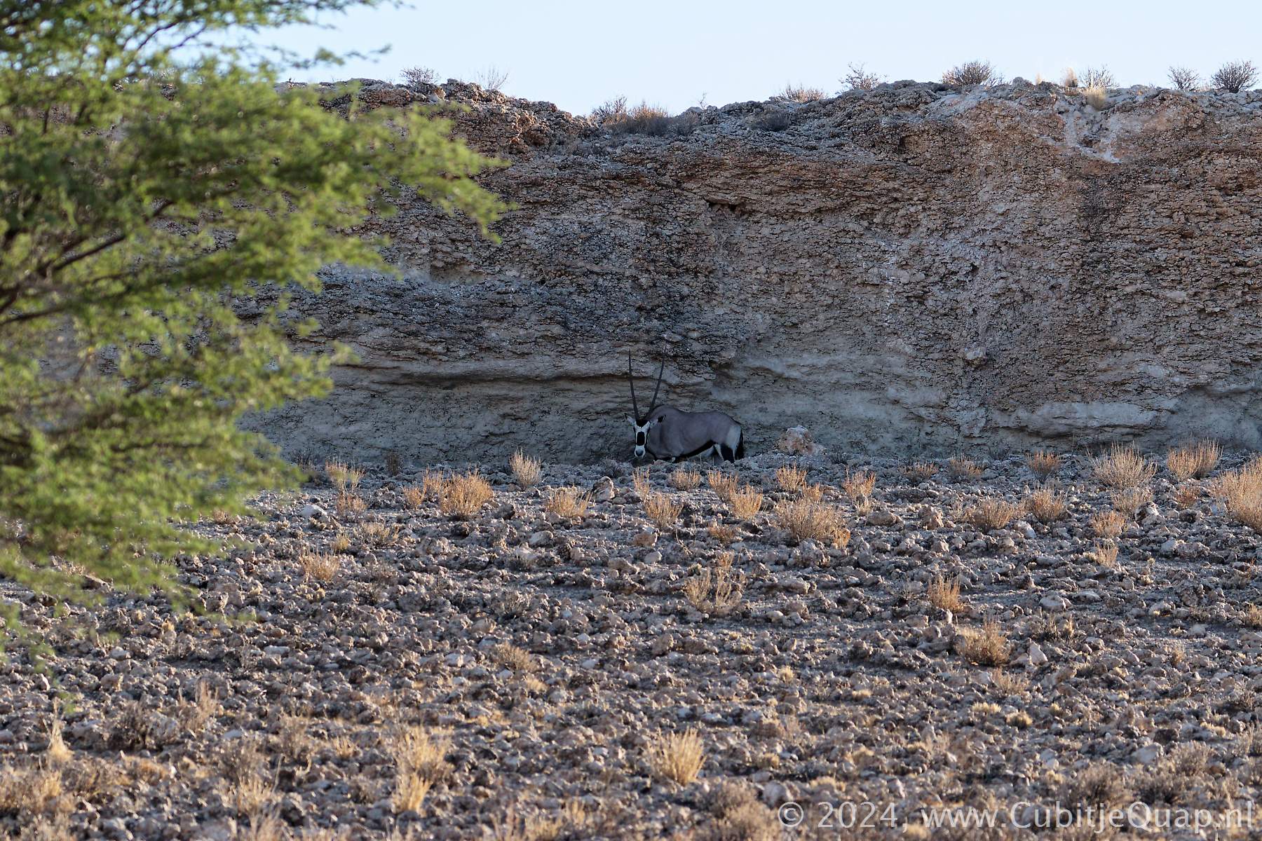
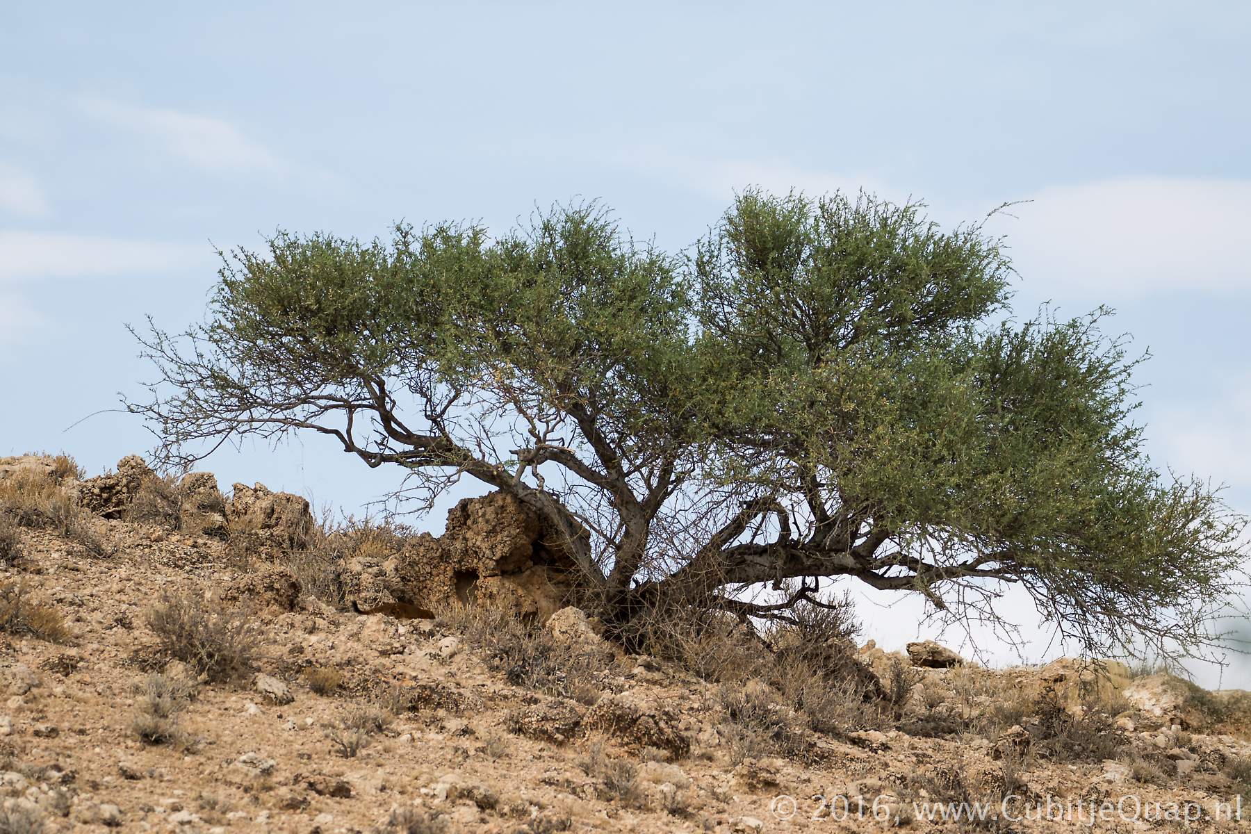
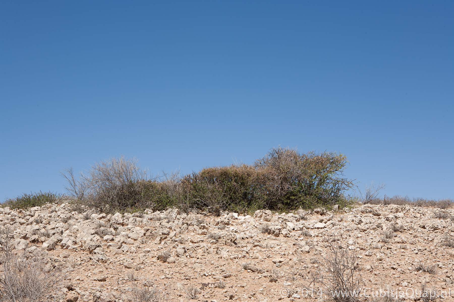
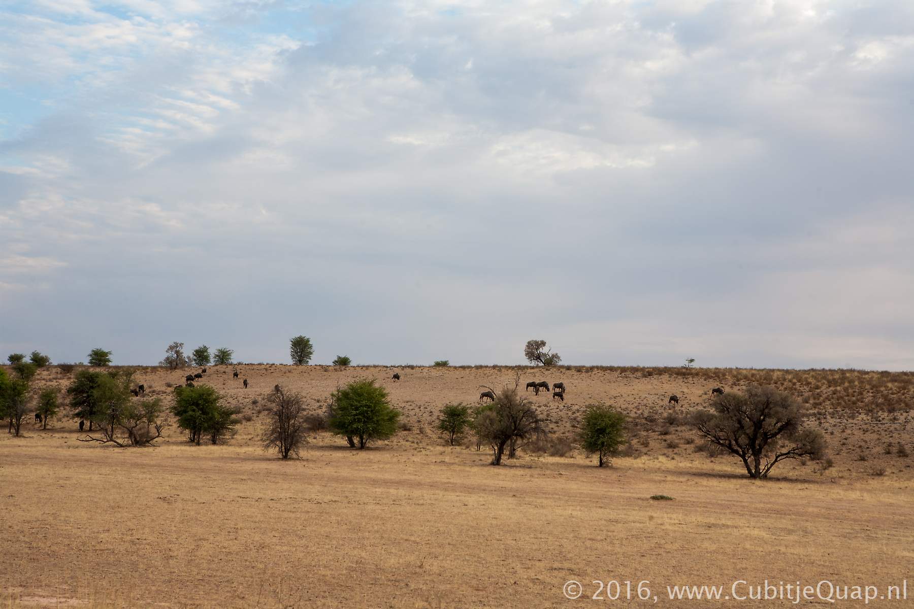
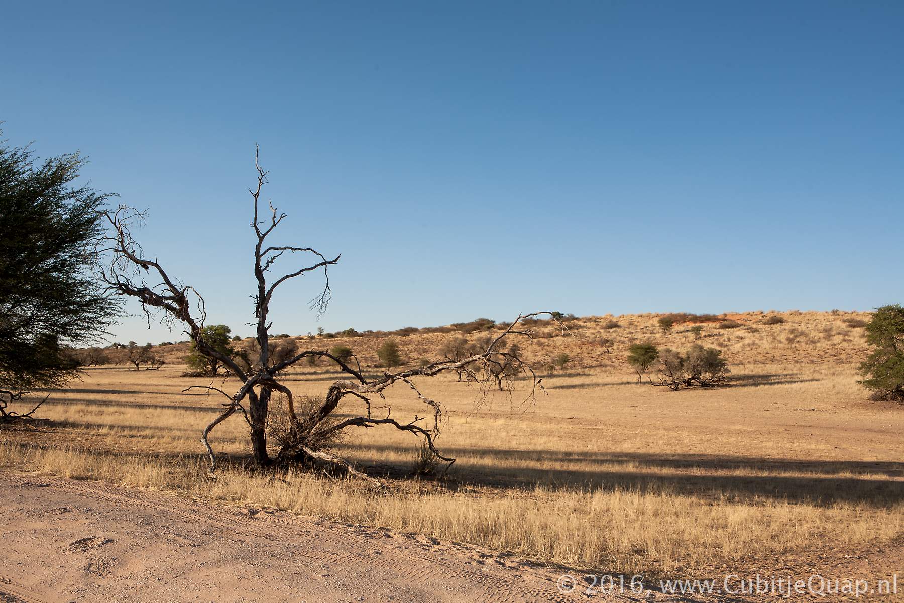
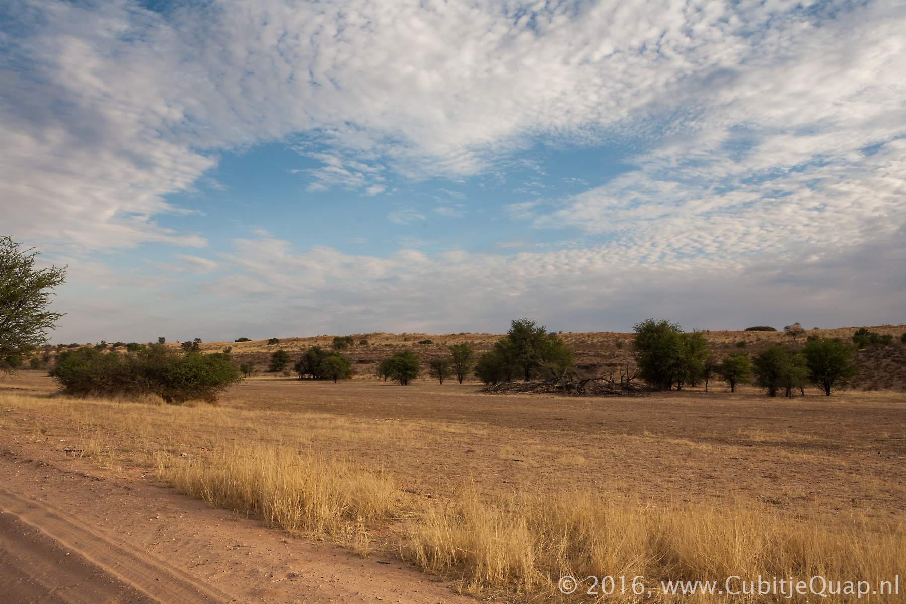
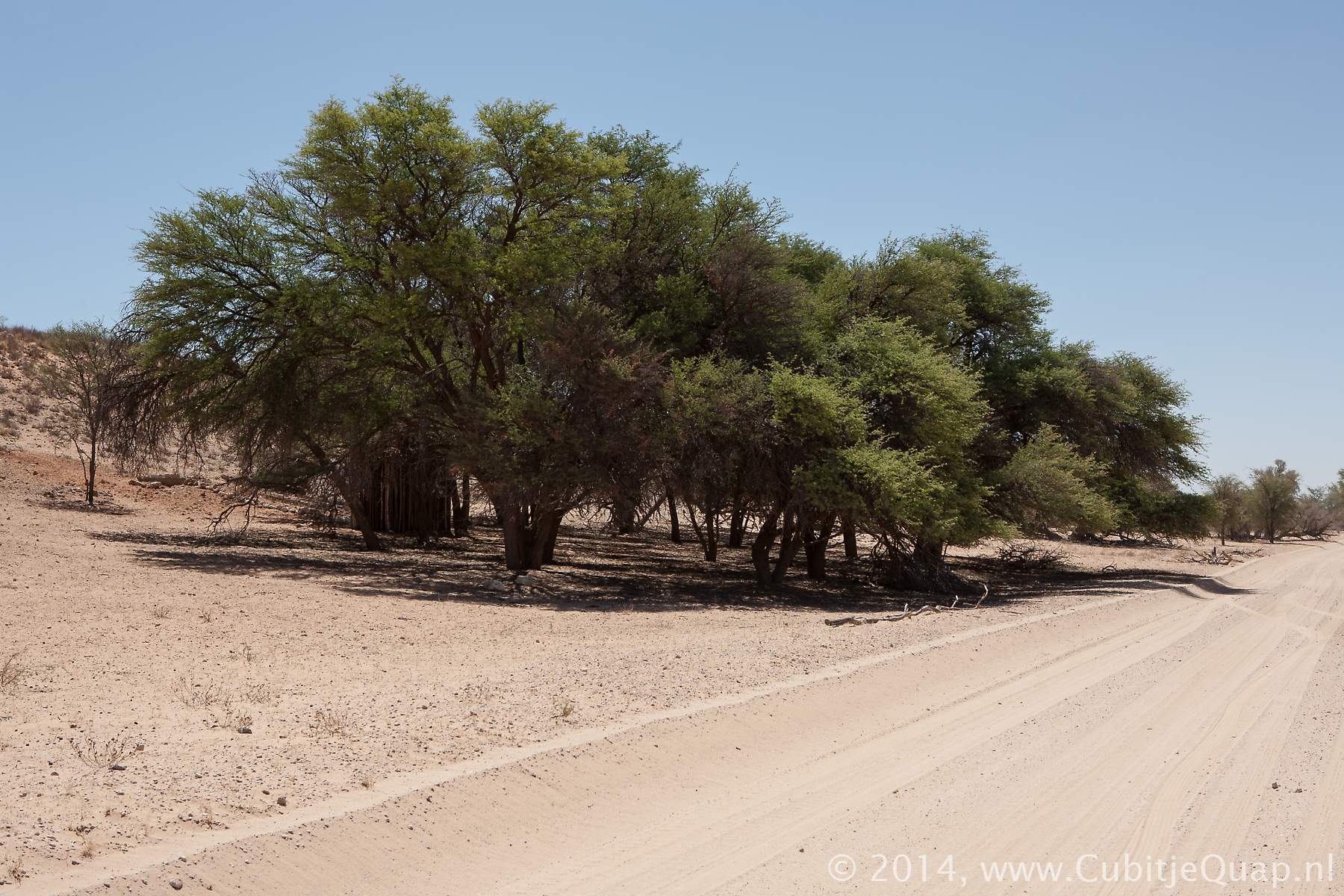
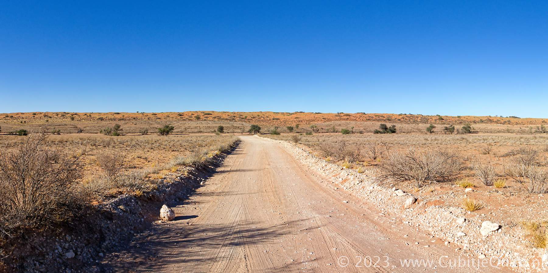
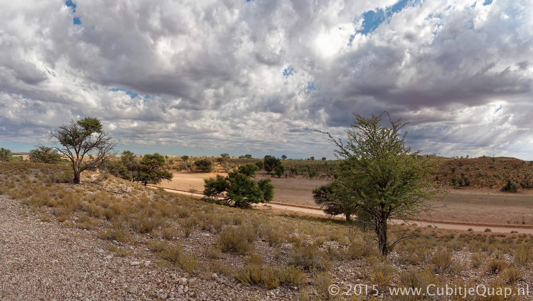
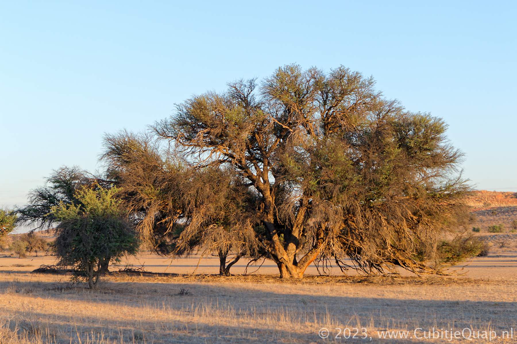
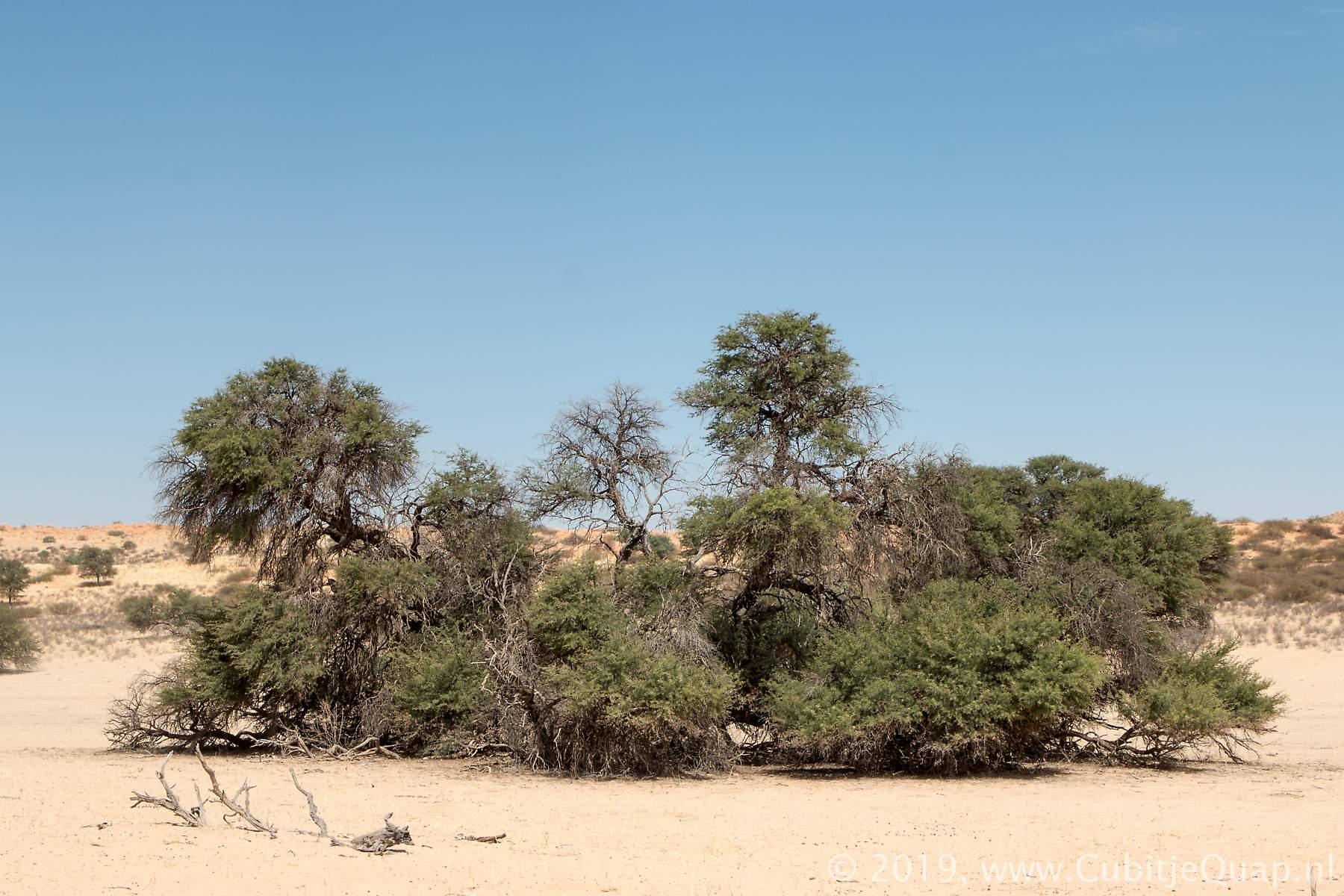
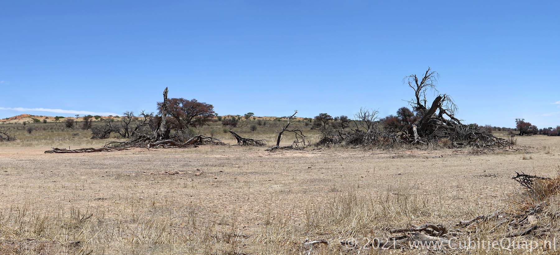
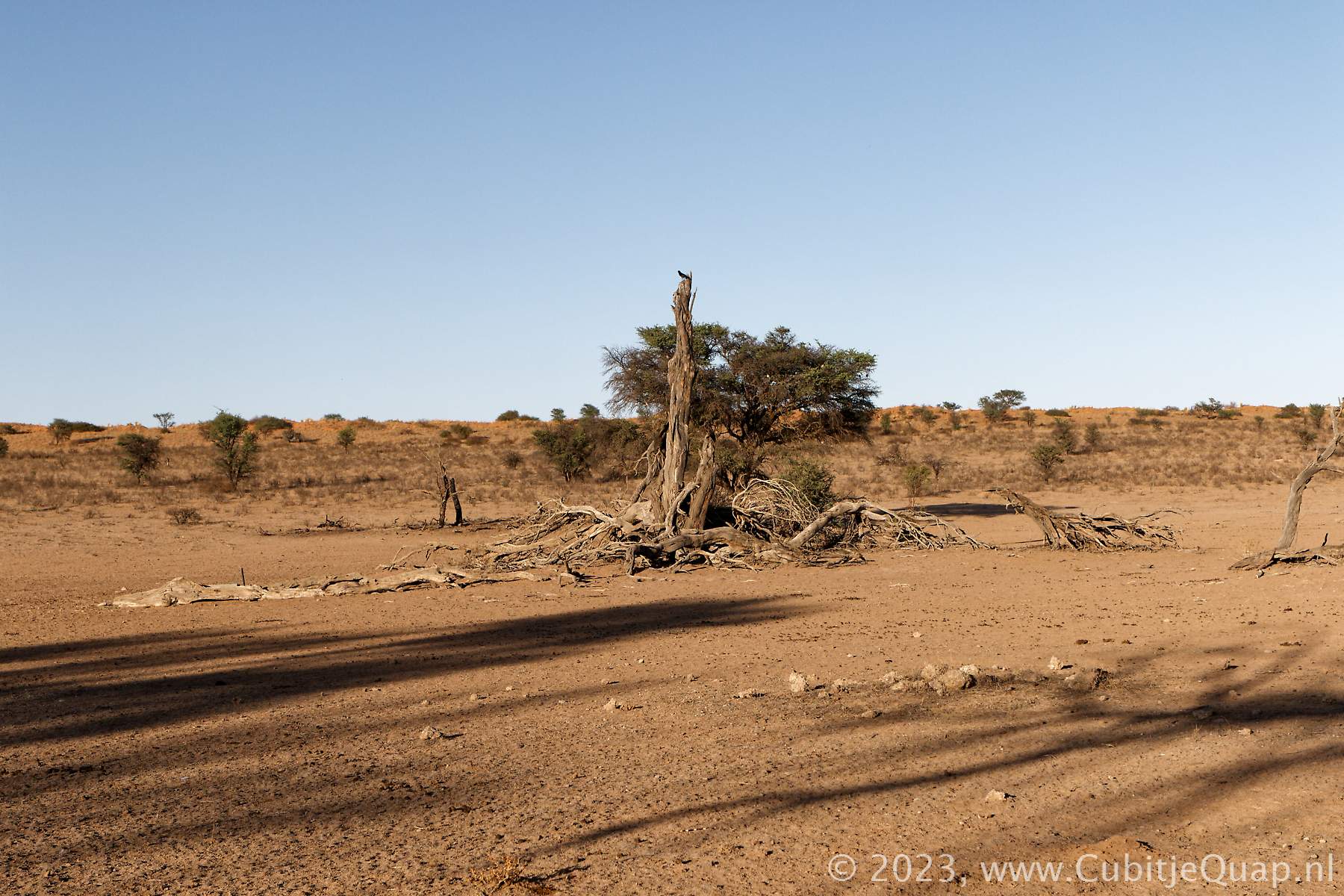
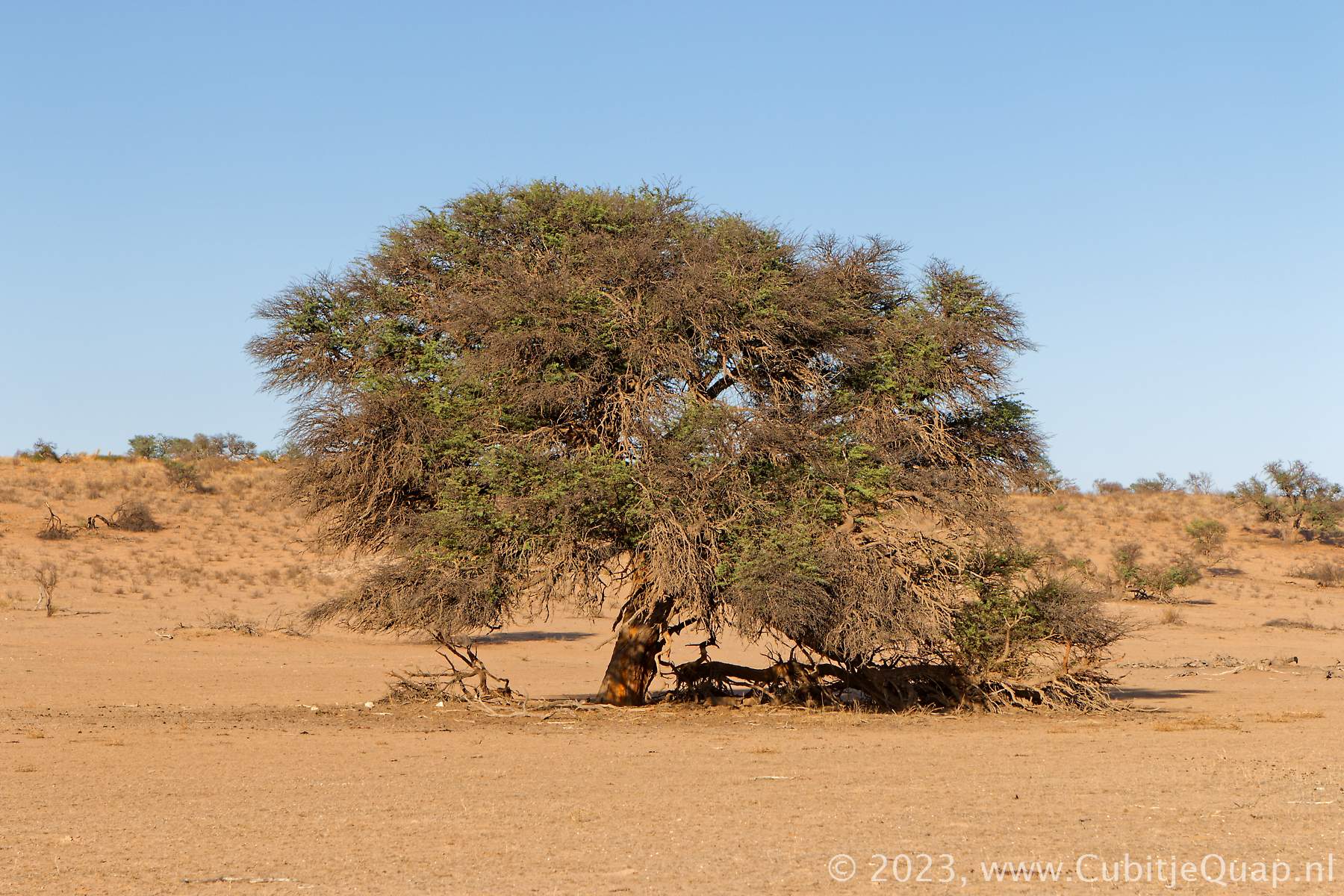
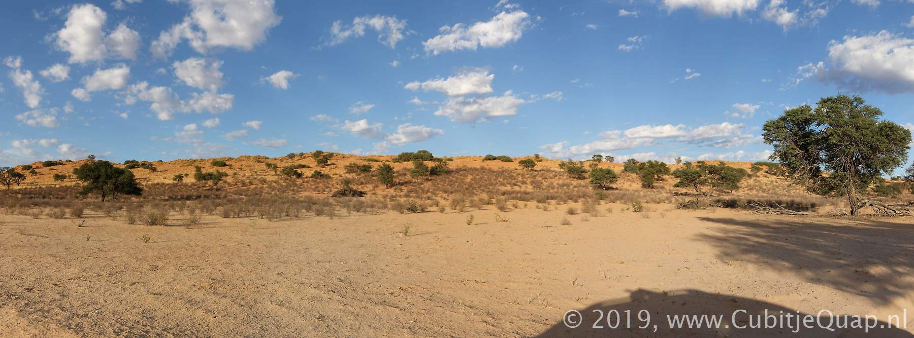
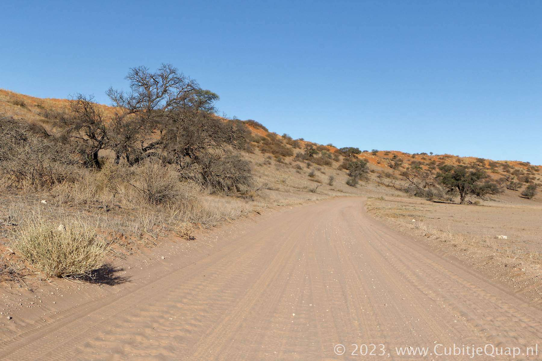
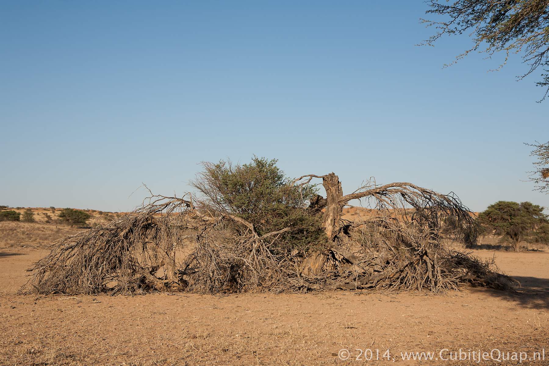
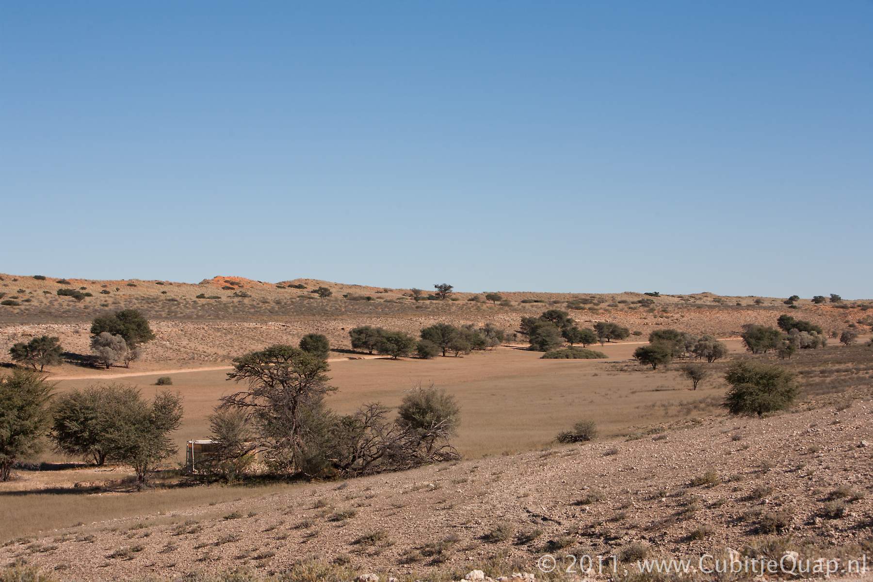
The main road followd the river from Auchterlonie to Kamqua. The lower dune road junction is situated slightly north of Auchterlonie waterhole.Especially in this area you can look at the granite ridges on the left hand side of the road. There are many holes and crannies in the rocks, which provides shelter for the animals. We have spotted some owls and some slender mongooses on those rocks.
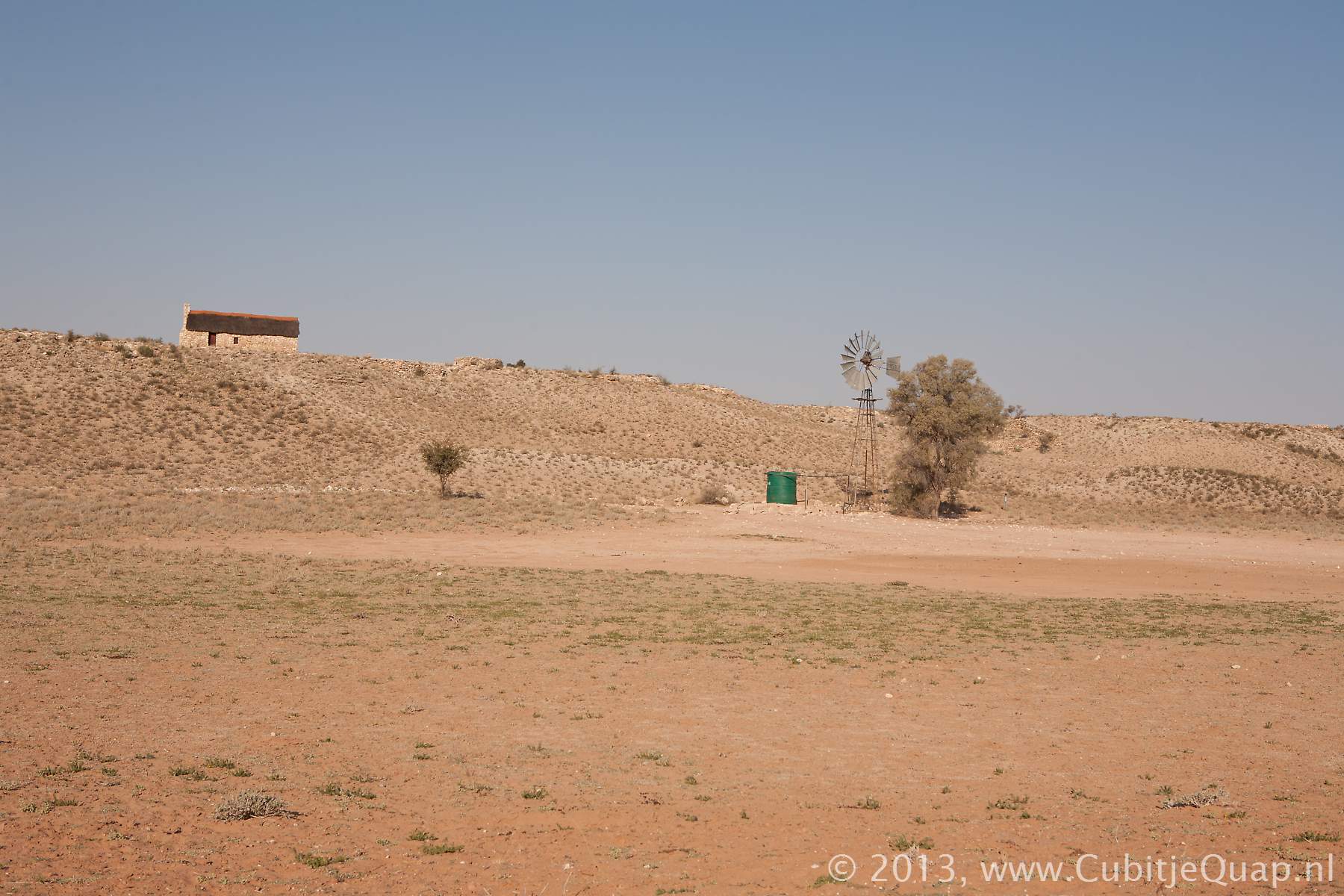
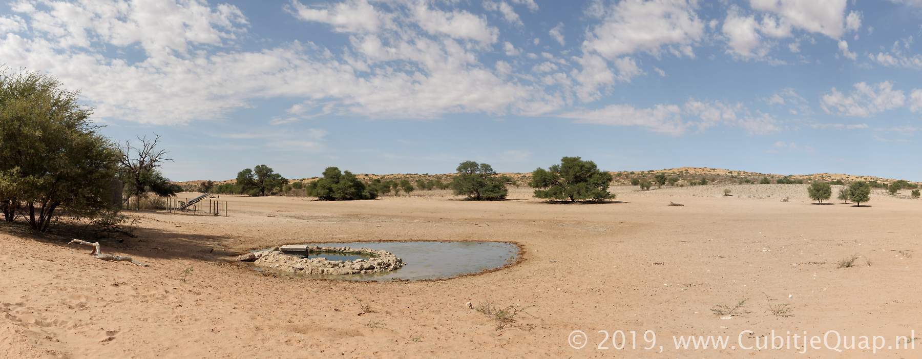
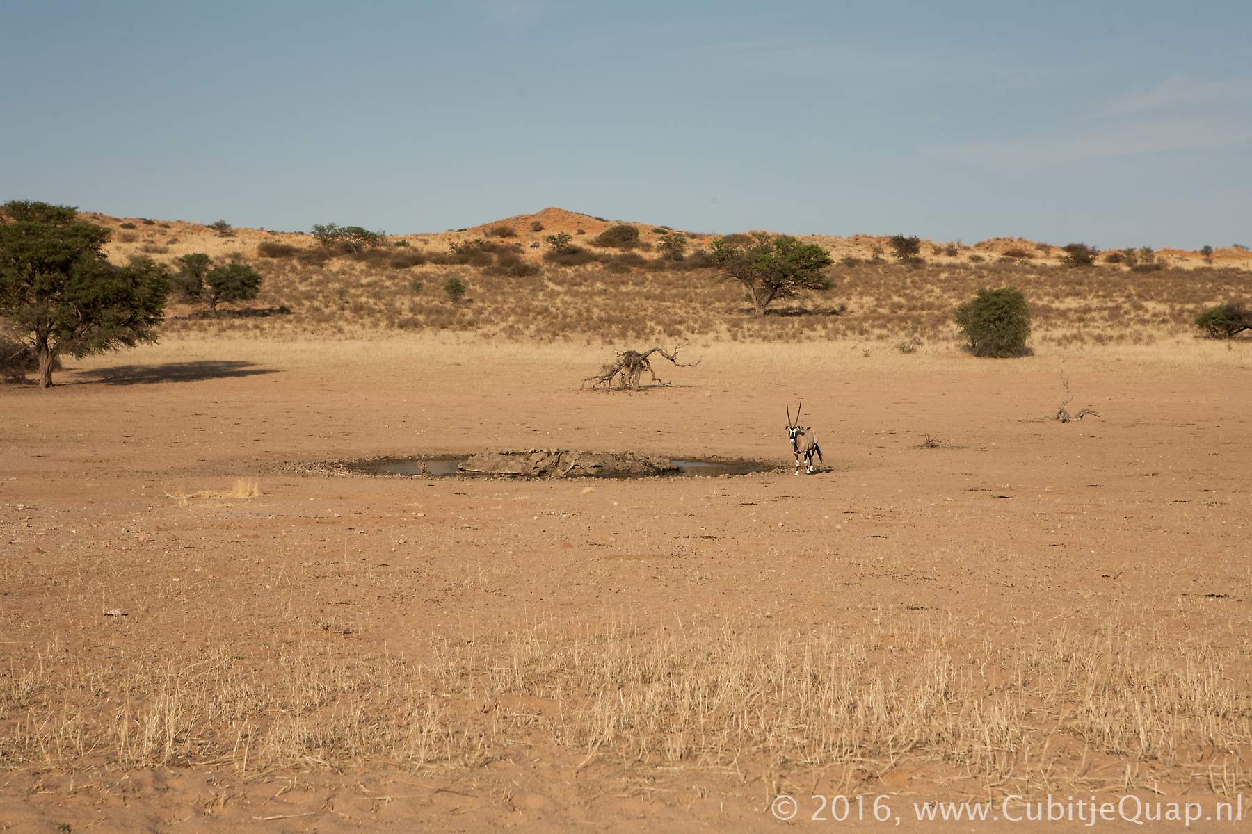
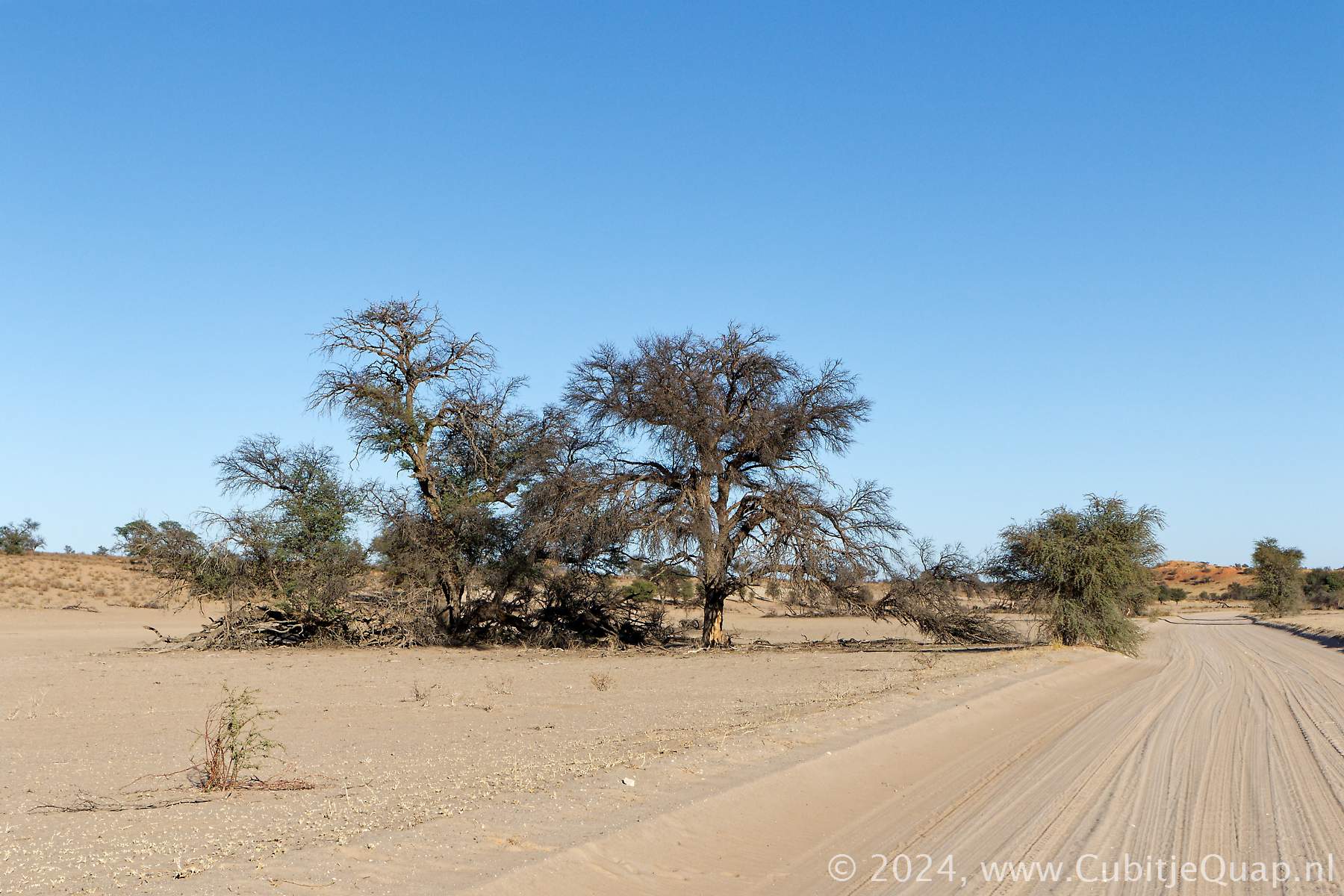
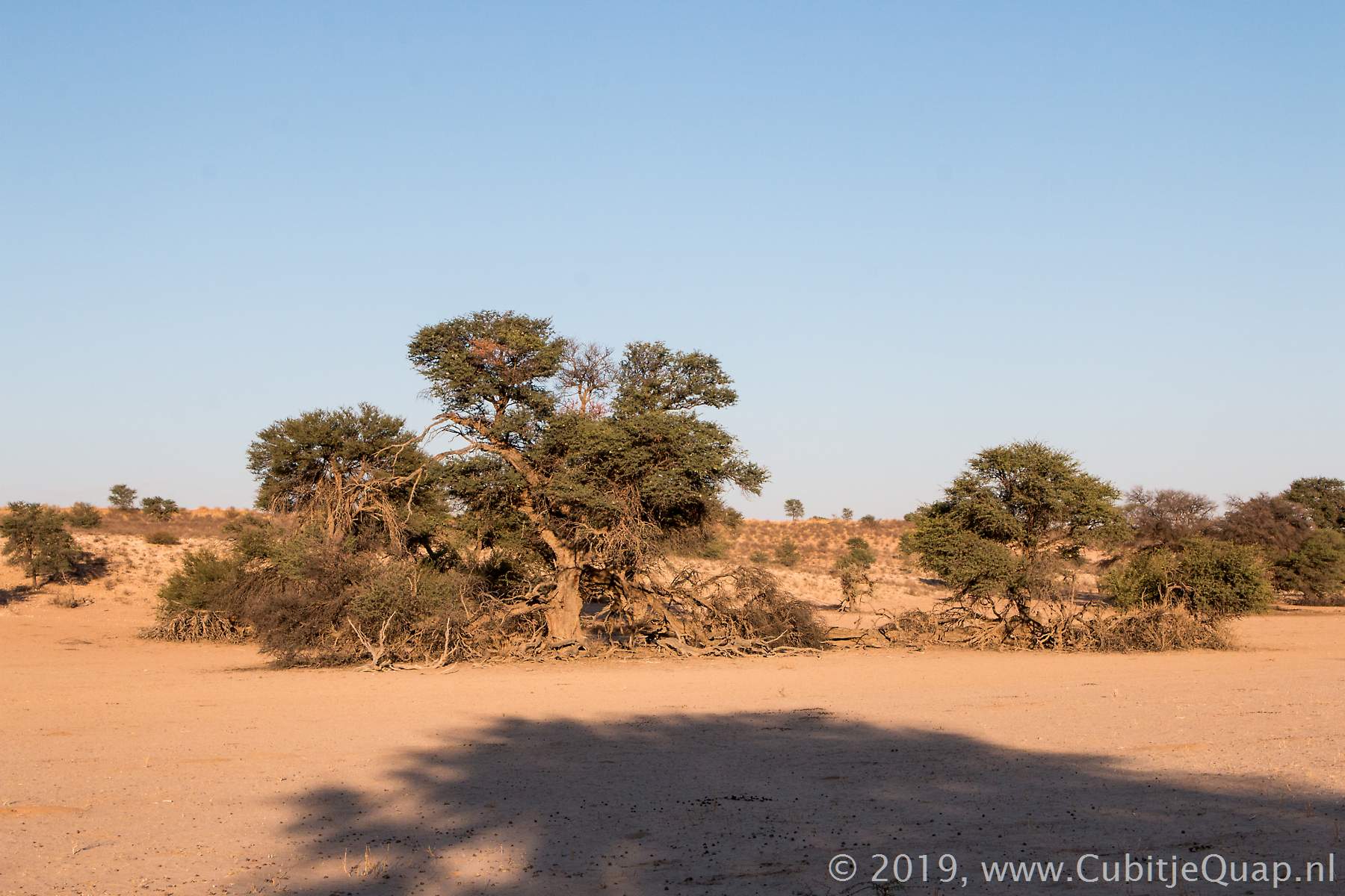
Most of the waterholes along this part of the road are on the opposite side of the riverbed, Rooiputs being the exception, very close to the road.
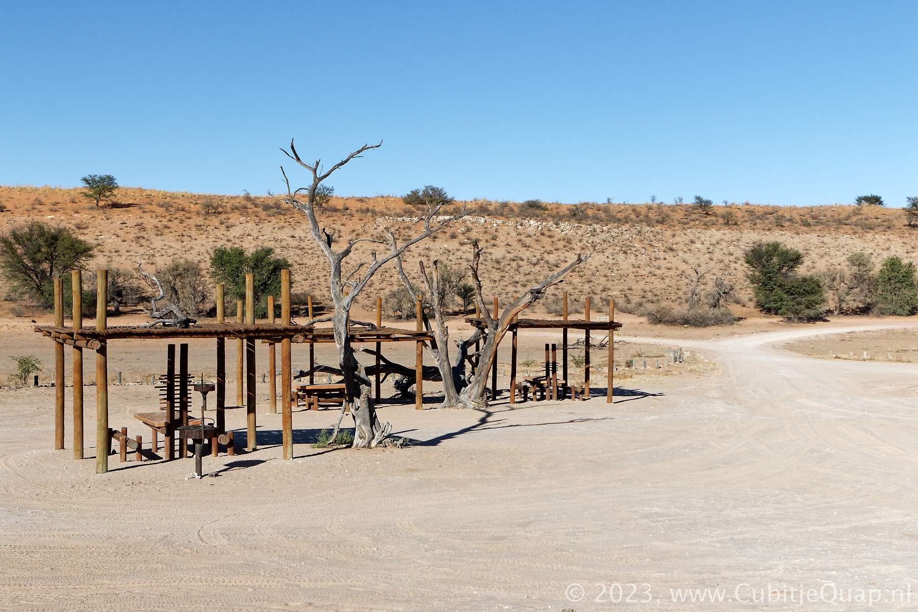
Just before the junction with the upper dine road, park visitors can get out of their cars at Kamqua picnic spot.
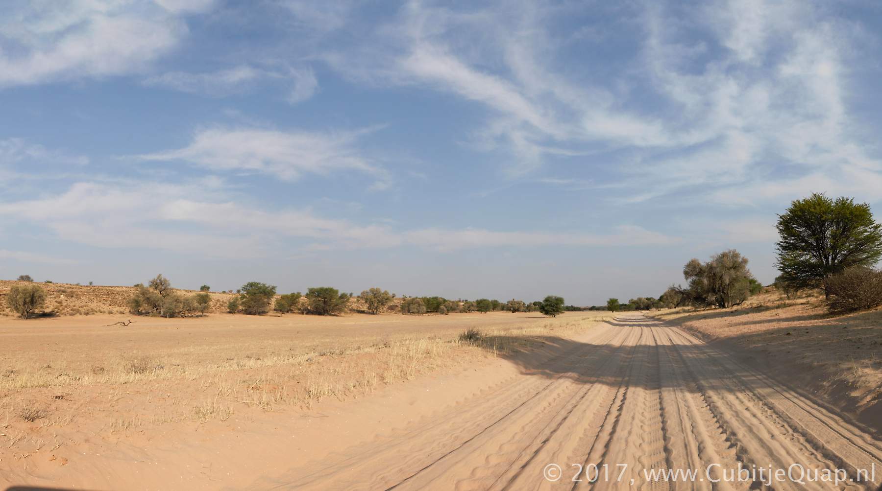
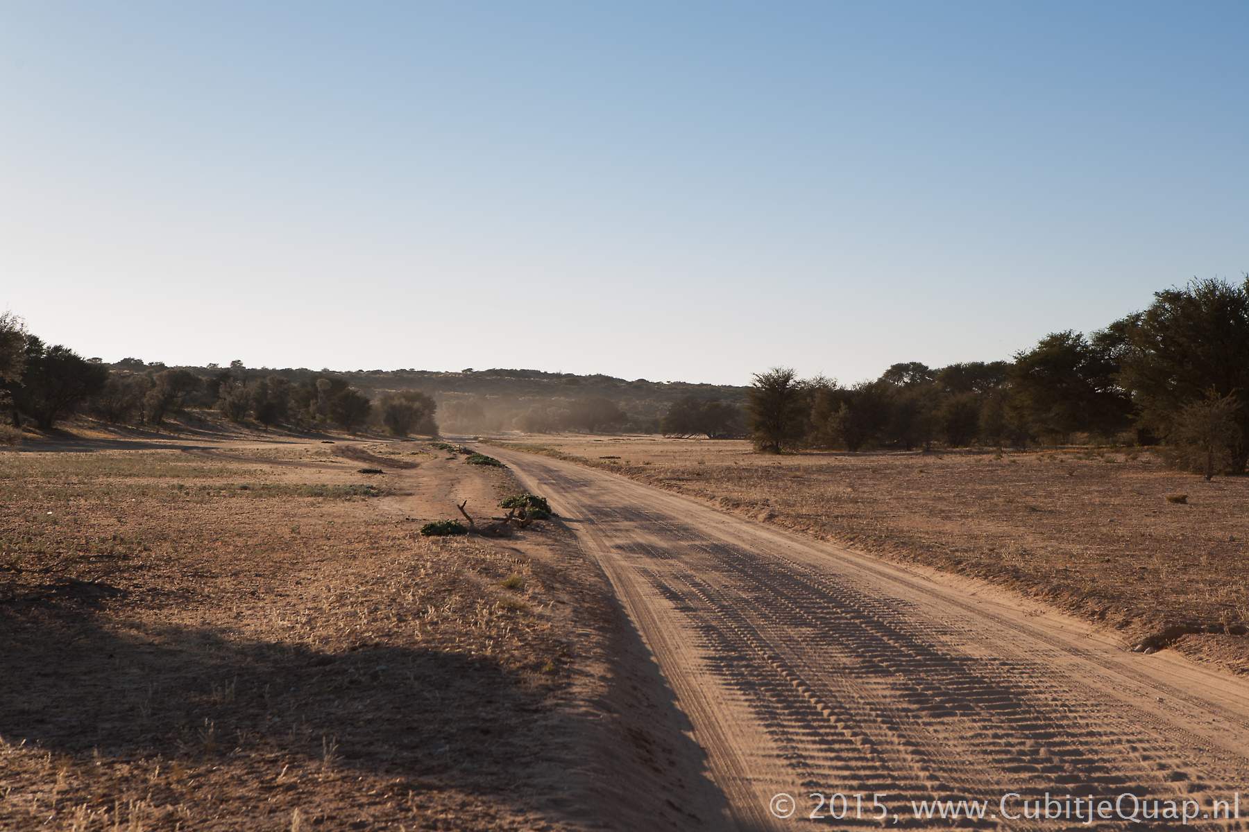
Kamqua to Mata Mata
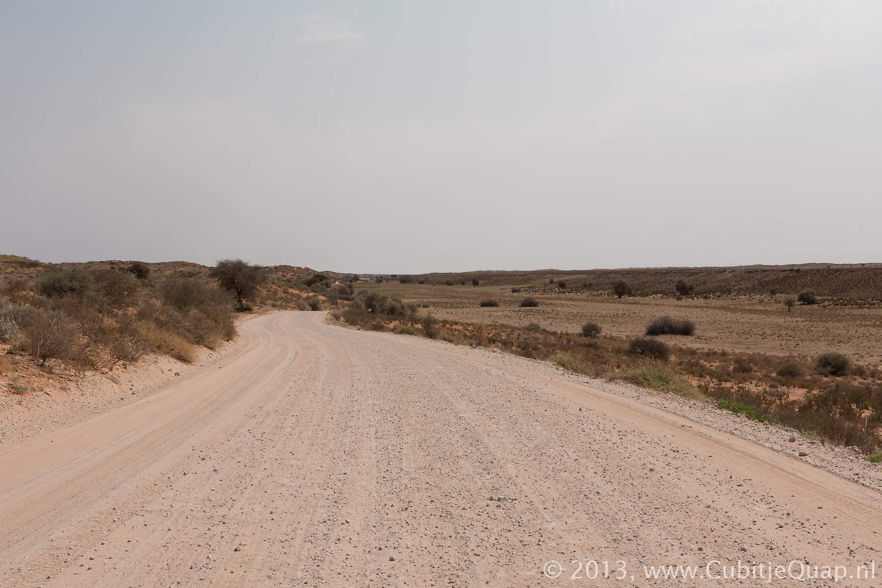
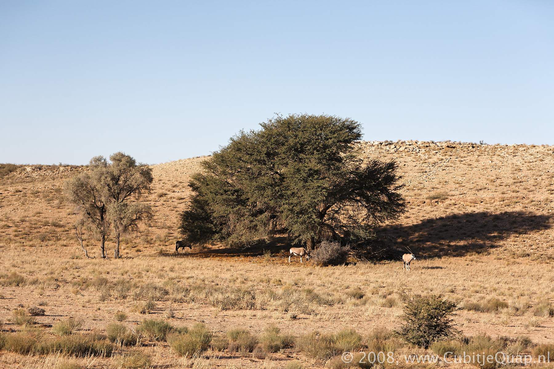
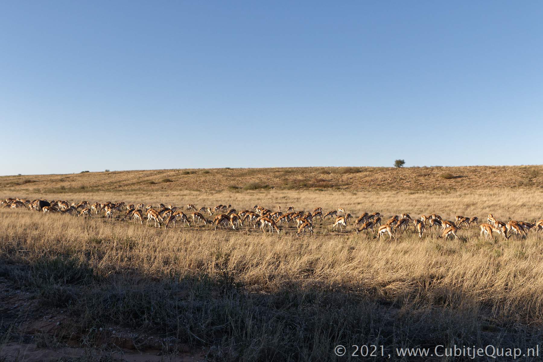
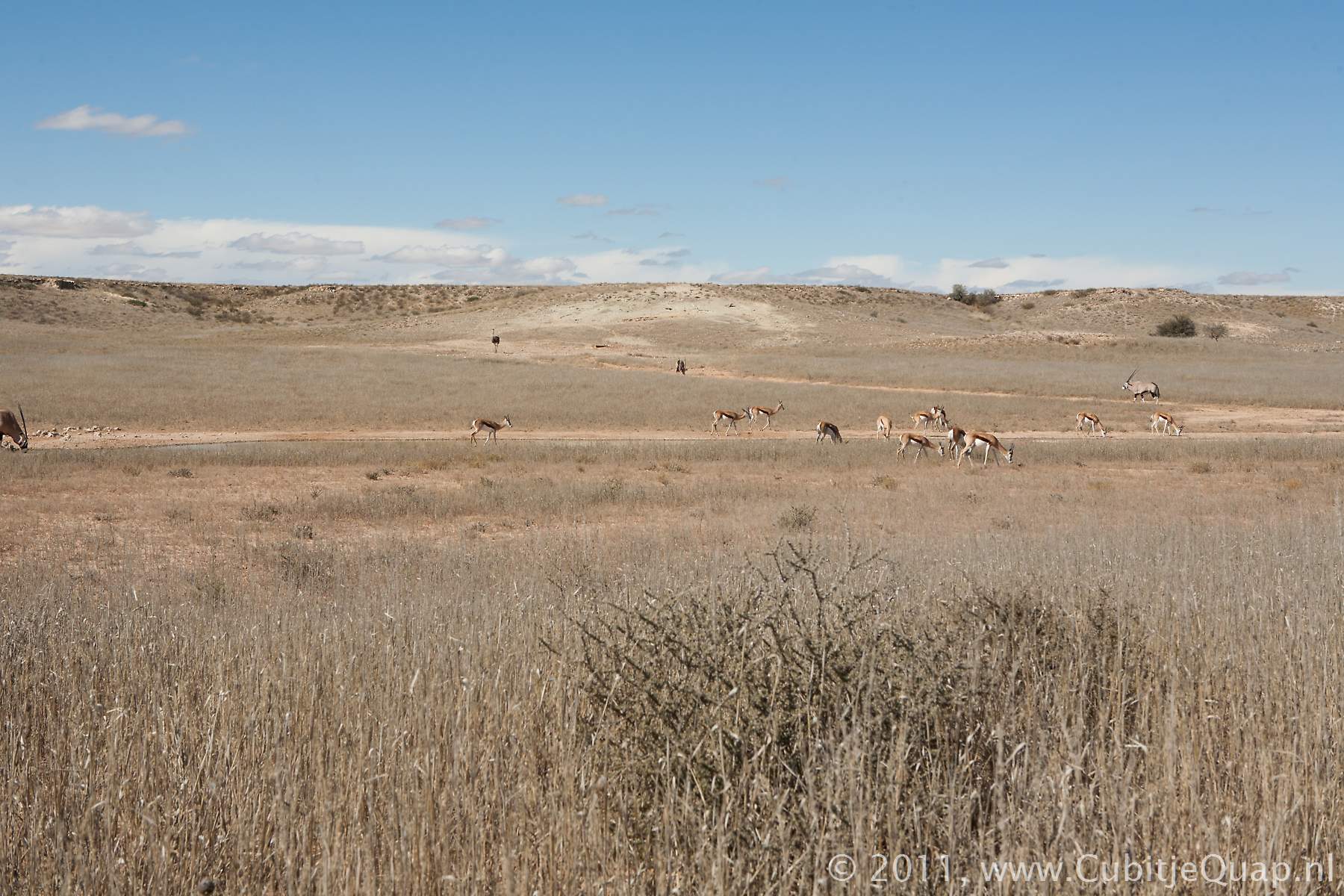
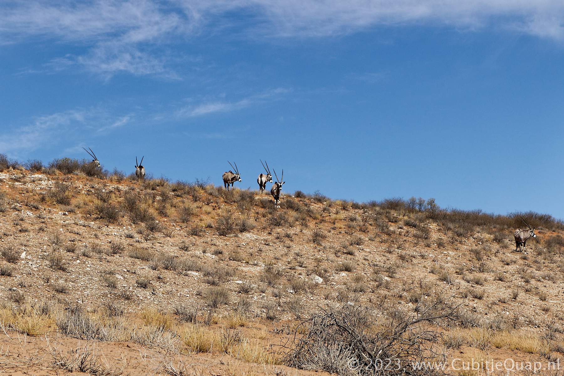
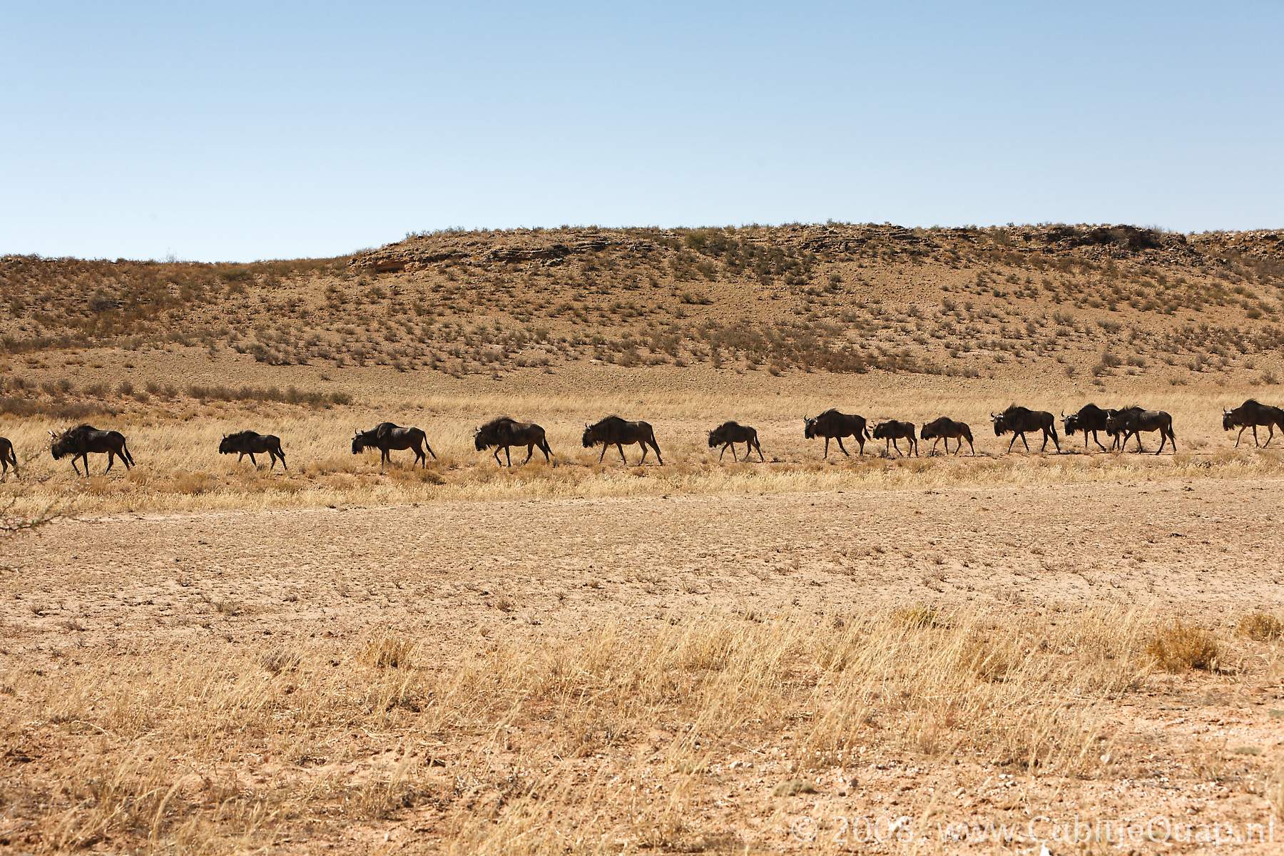
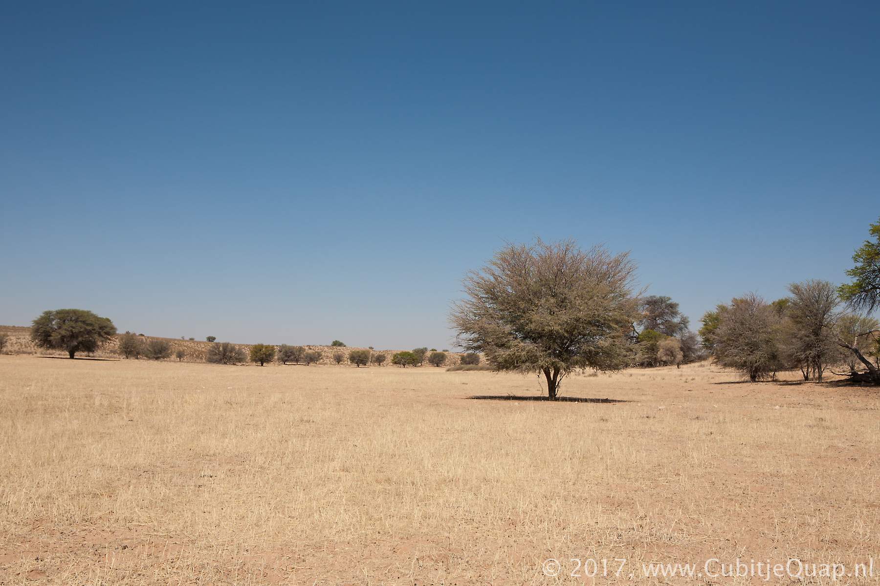
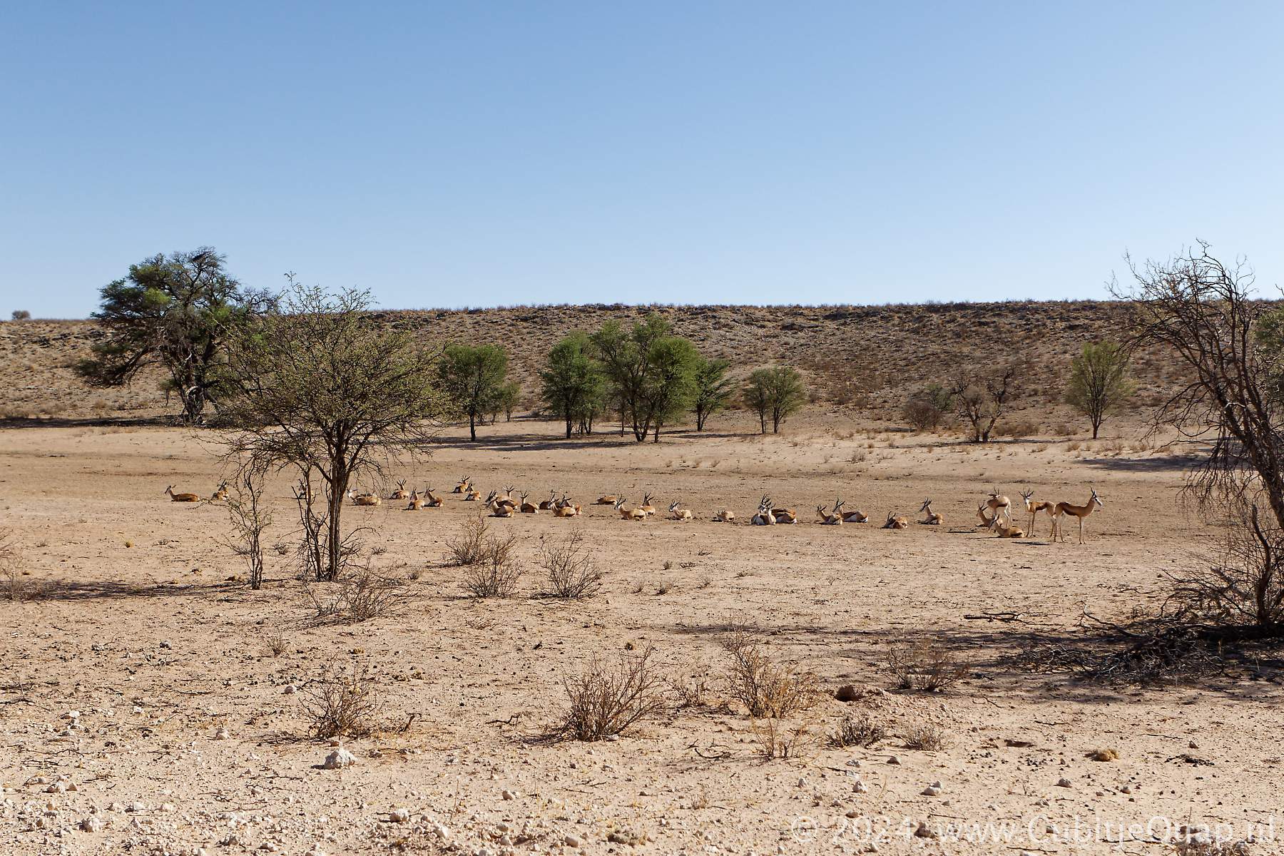
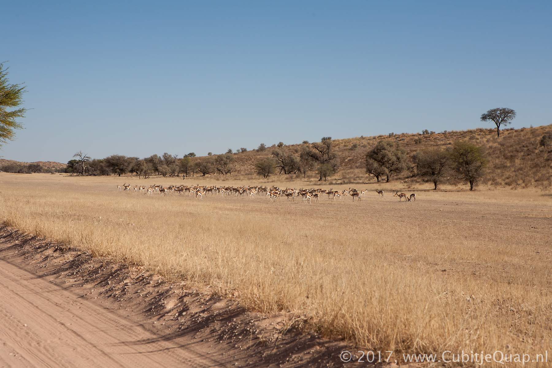
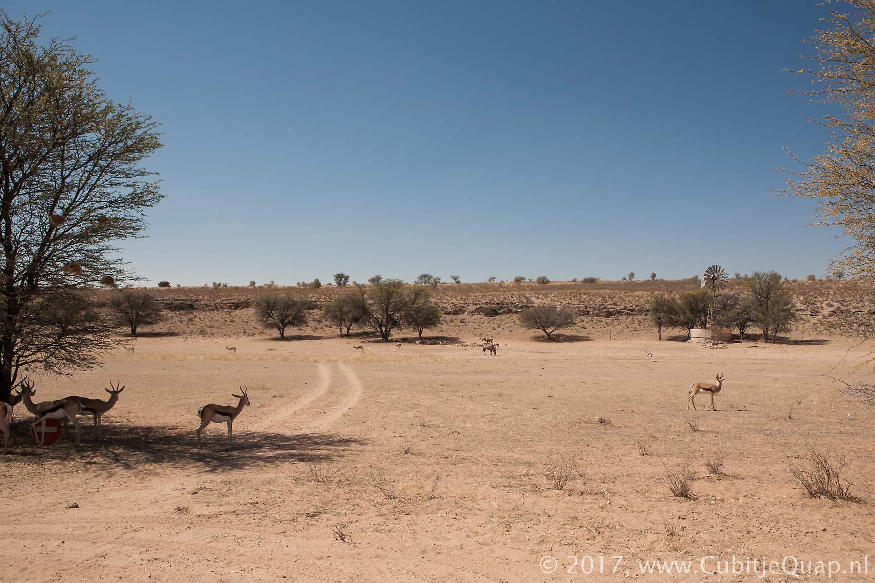
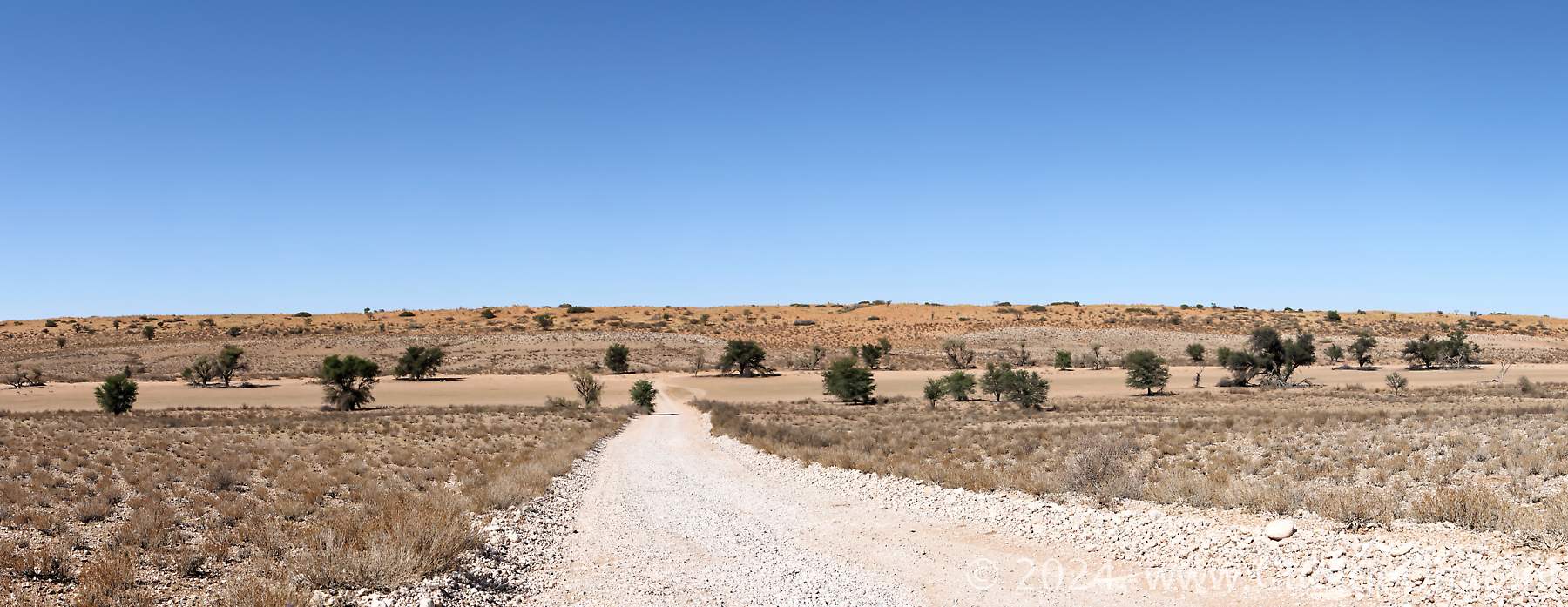
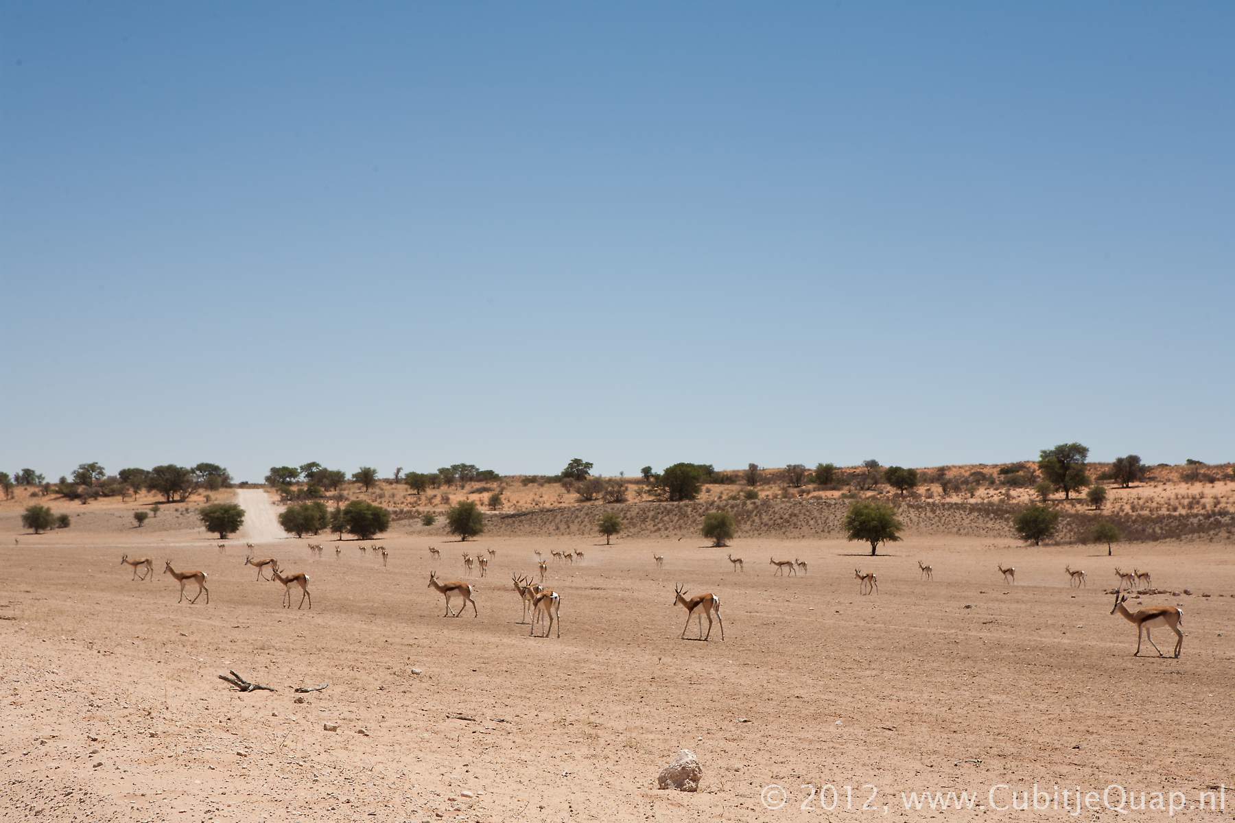
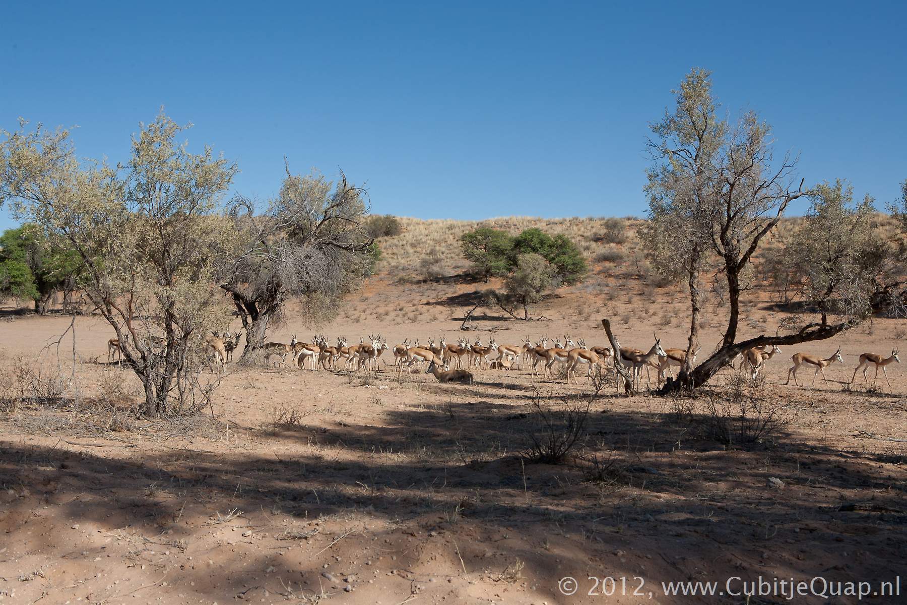
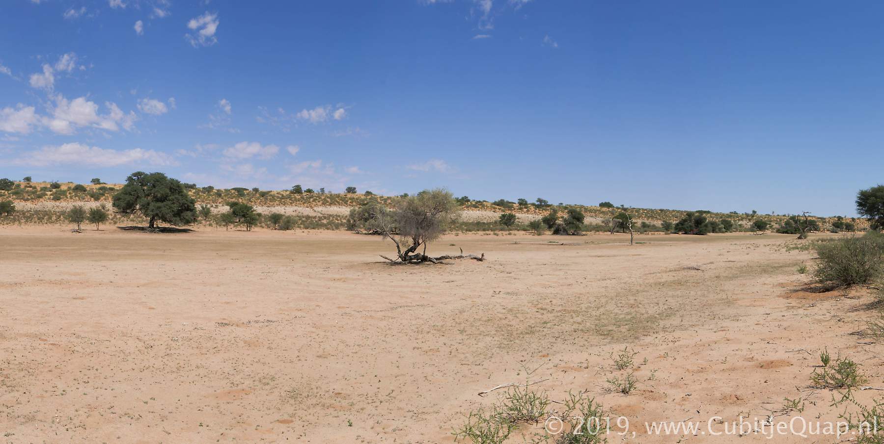
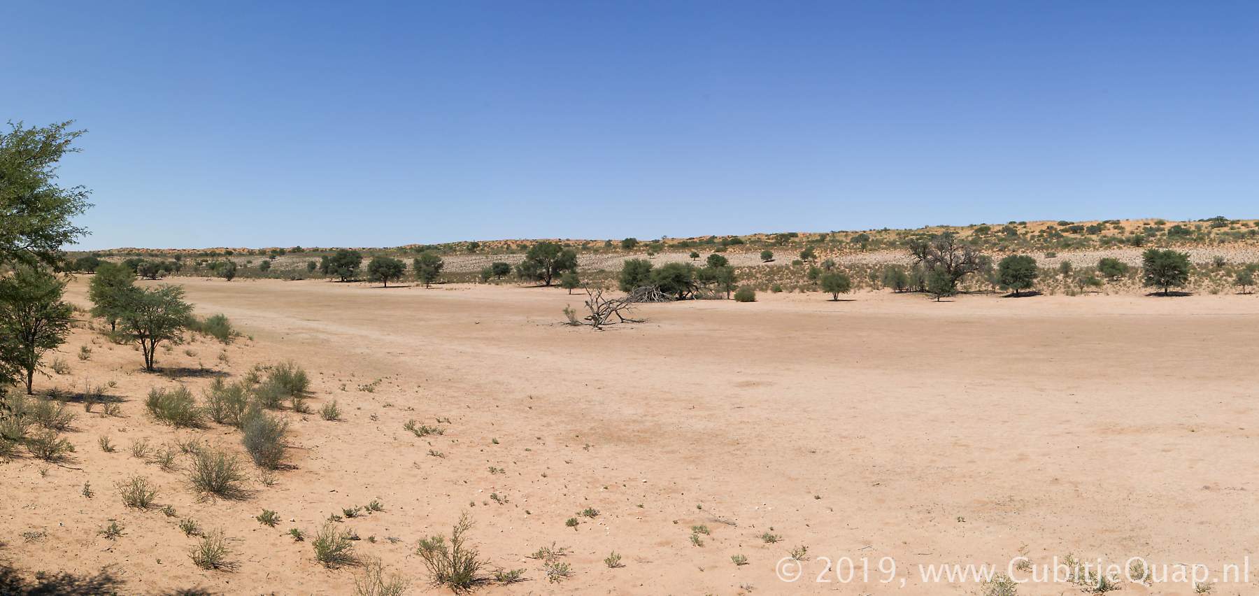
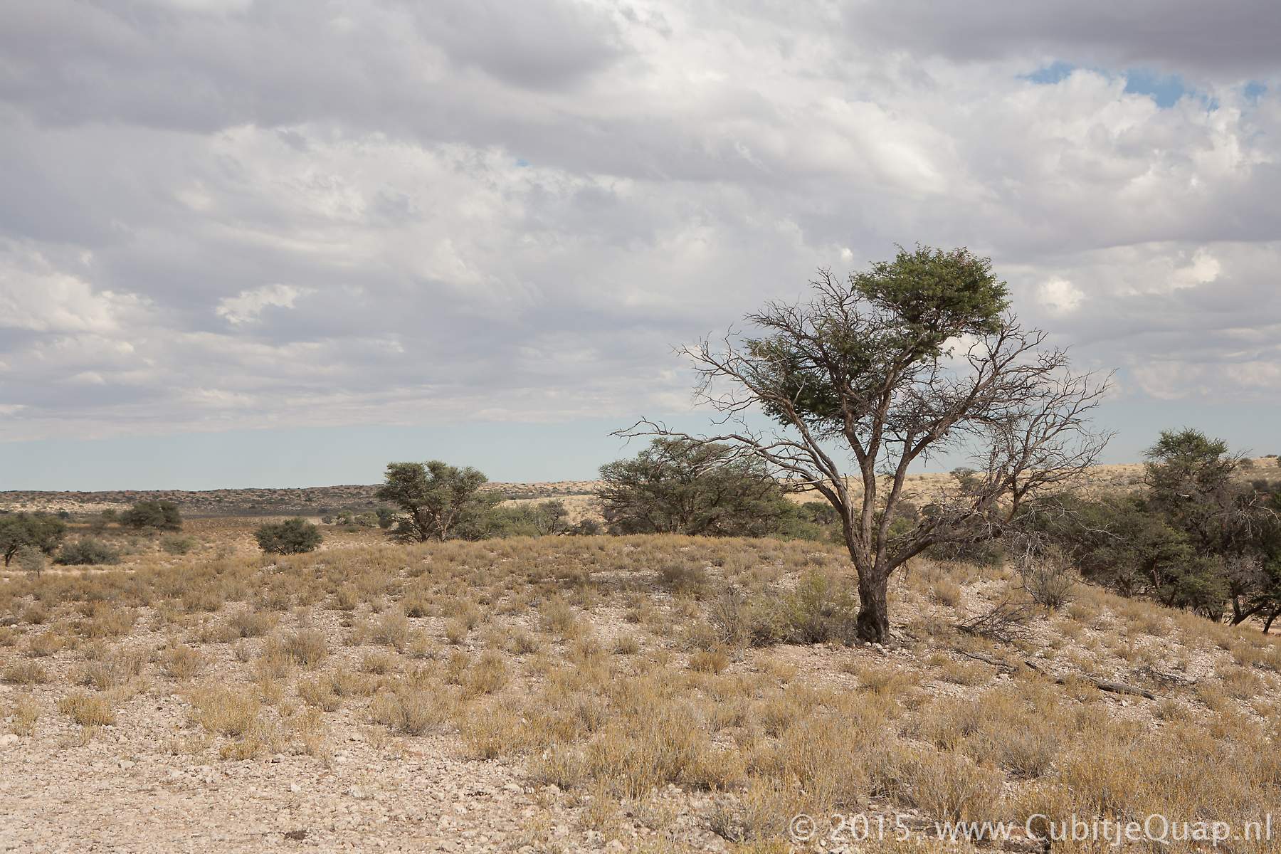
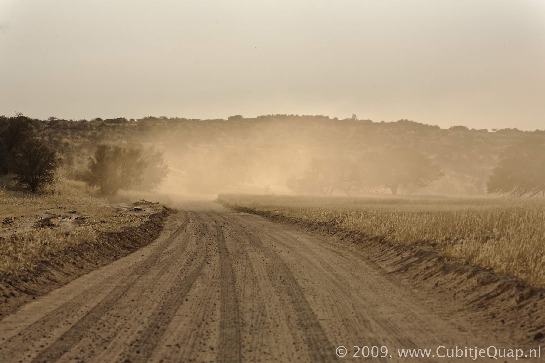
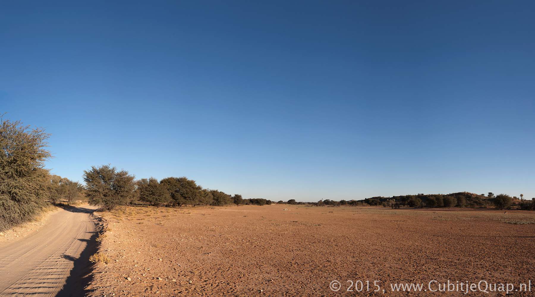
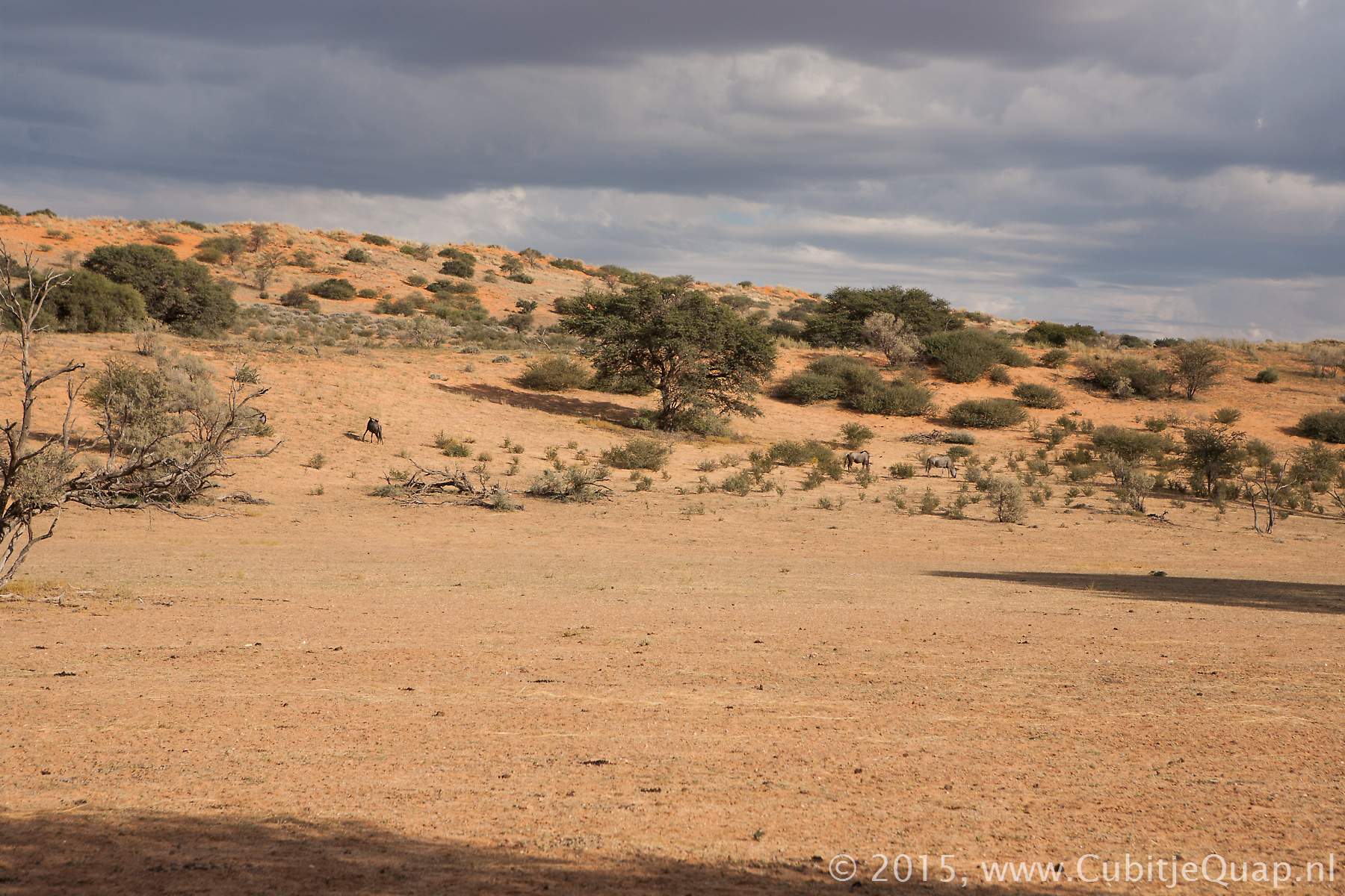
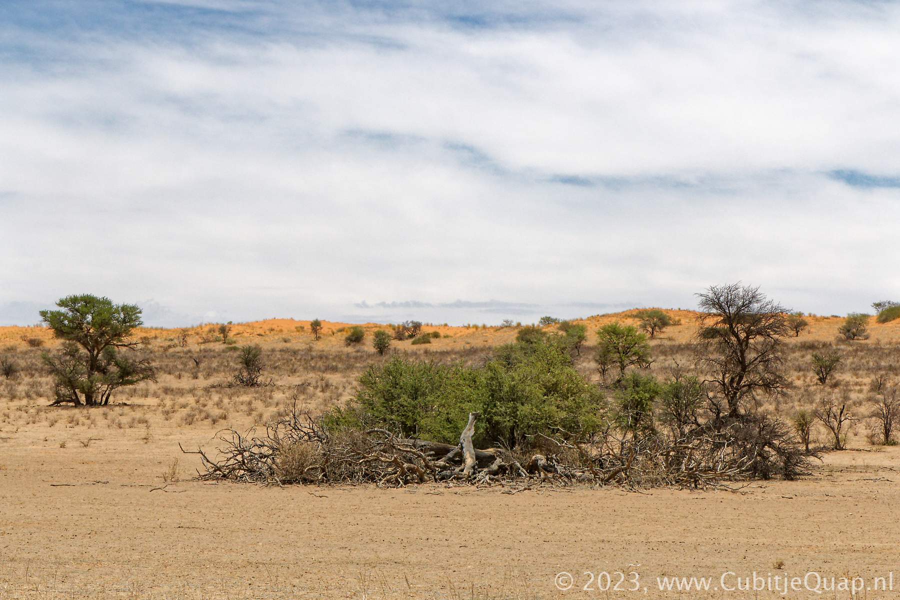
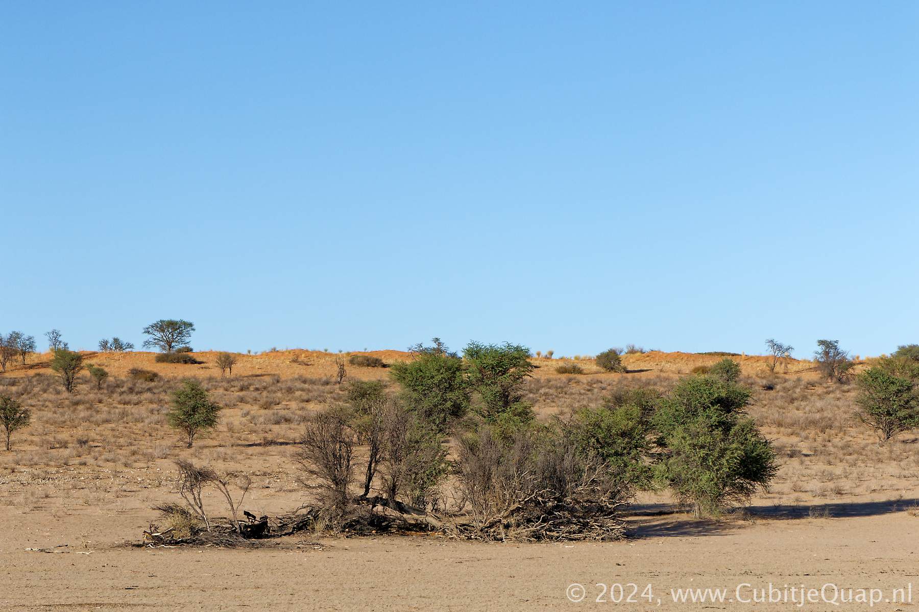
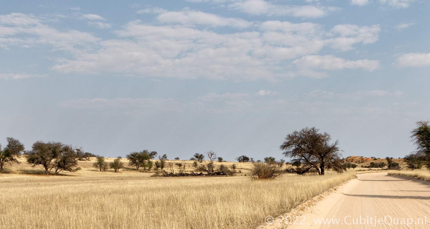
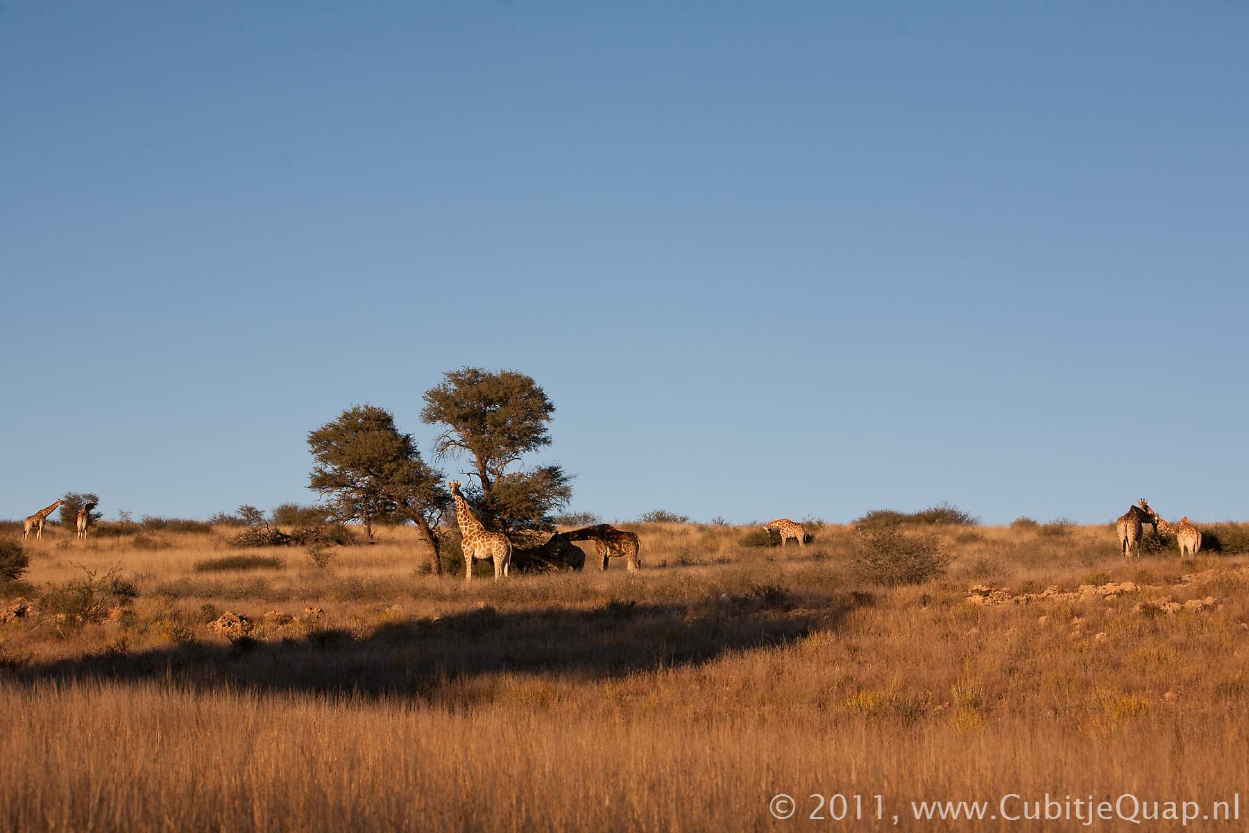
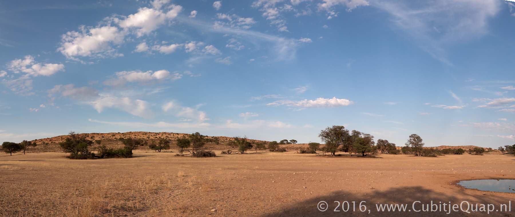
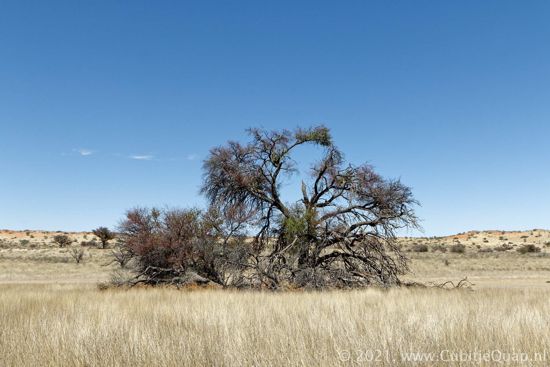
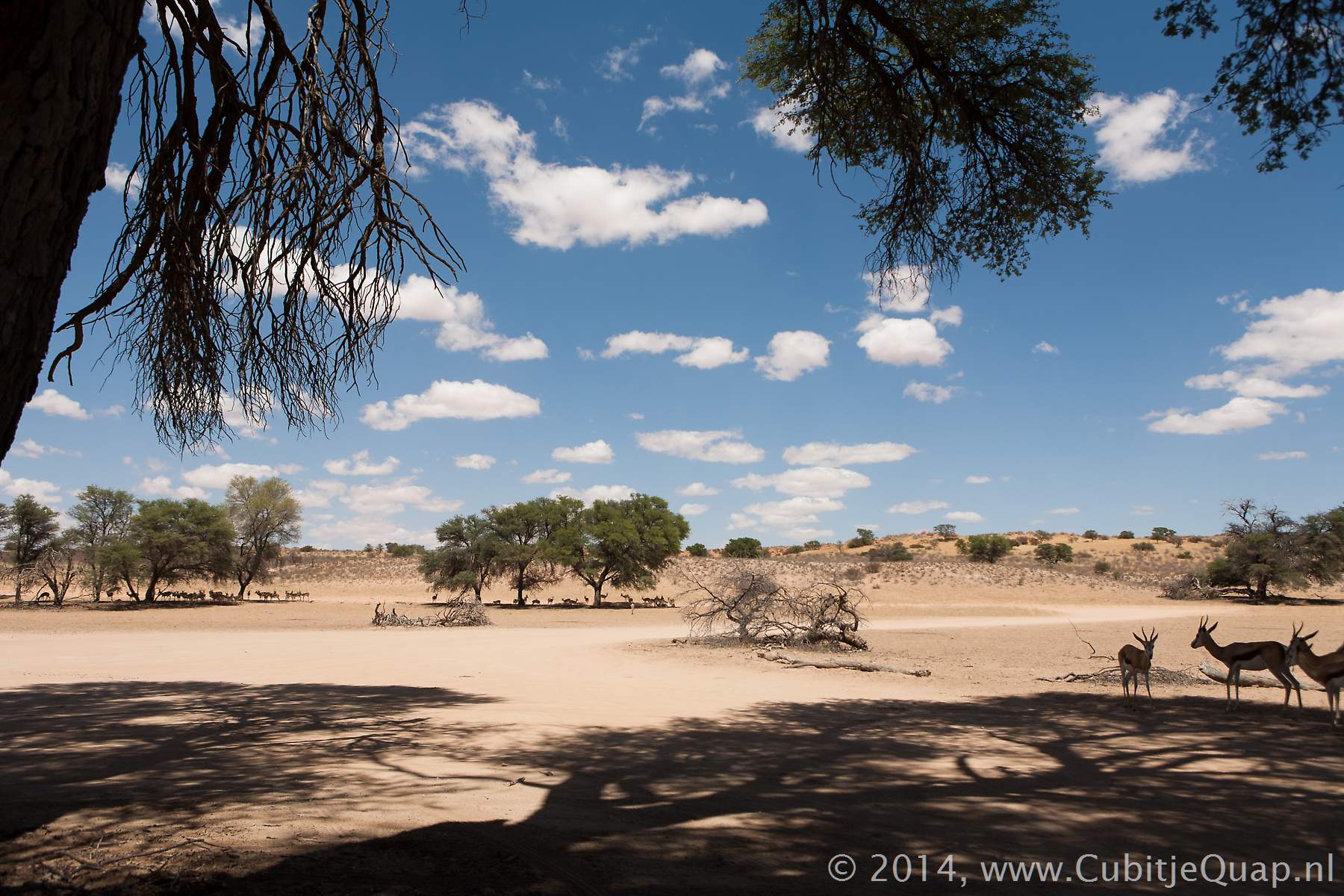
Between Kamqua and Mata Mata the main road crosses the riverbed a few times and for the waterholes Dertiende Boorgat, Veertiende Boorgat and Dalkeith the drive can choose between following the main road, over granite hills, and the loop roads which takes them along the riverbed and to waterholes.The outstrechted flat riverbeds make this area particularly well suited for cheetah.
Waterholes named after Scottish places
Roger (Malkop) Duke Jackson was a second generation South African, born in Knysna. In 1914 he married Eileen Francies May Brock and he became responsible for surveying and setting out the northern boundary of South Africa.While Roger was doing his survey work, Eileen had to take care of the camp and find food and water with the help of the San. It is believed that she gave some of the places along the Auob river Scotish names (like Munro, Dalkeith, Auchterlonie and Craig Lockhart) out of homesickness.
Eileen was a very special lady standing onyl 4'9". She was an extremely good hunter and brought home a lot of trophies. In one of her hunting adventures, she was taken off her ox (that's what she rode) by a leopard. She was rescued by a San tracker and after a recovering period of three months, she tracked down the leopard and took her revenge.
Maps:
Samevloeiing to Auchterlonie