Swartberg Mountain Range
General characteristics
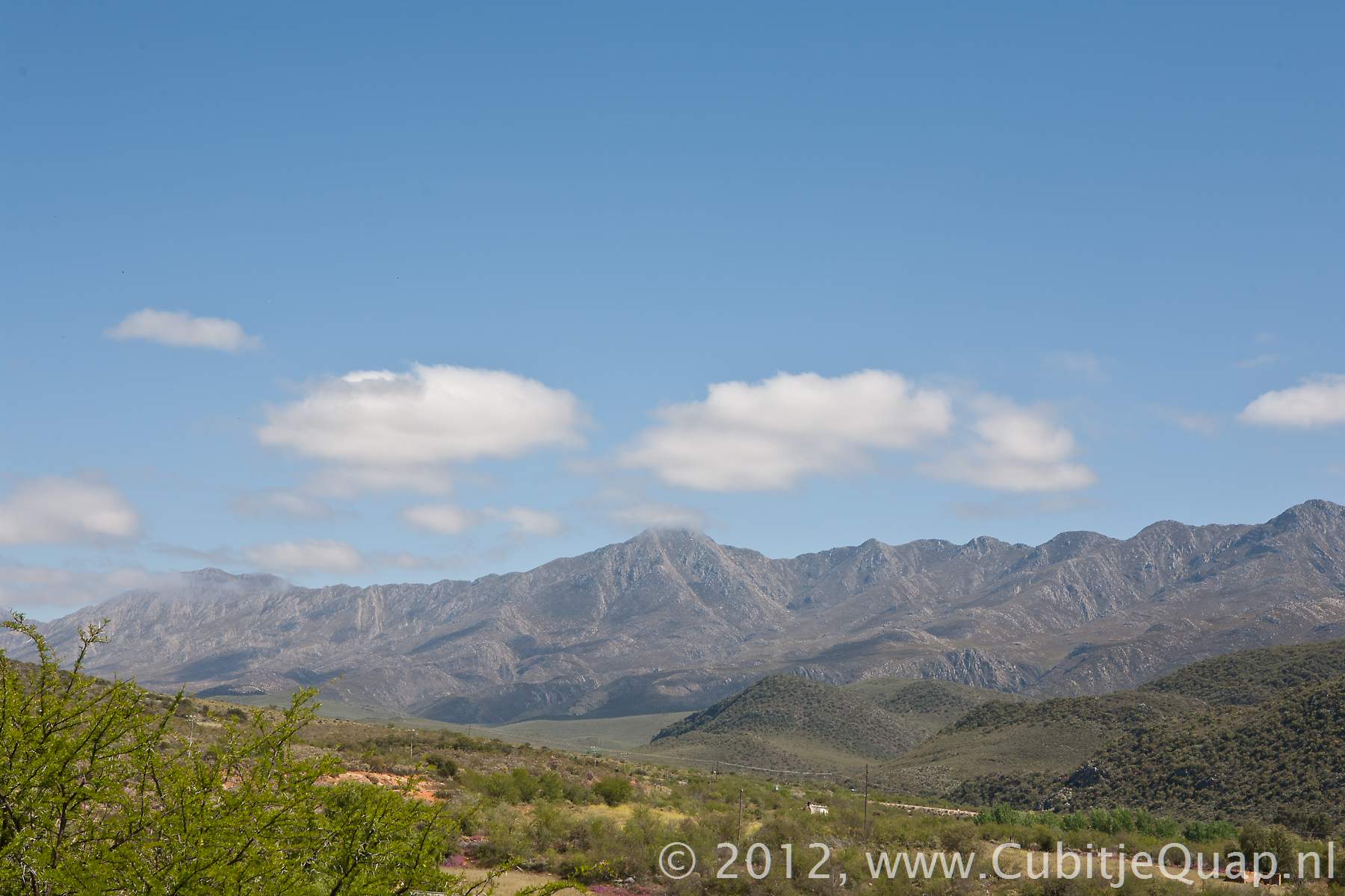
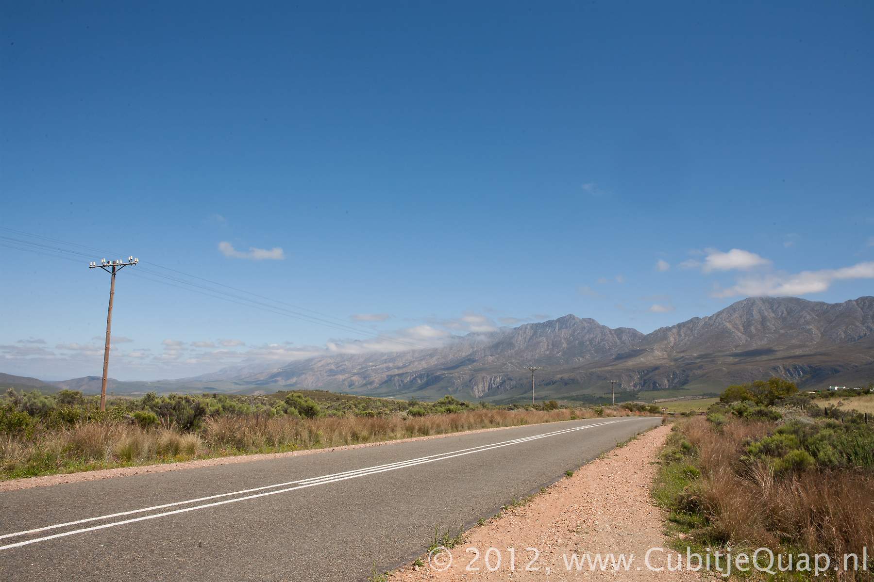
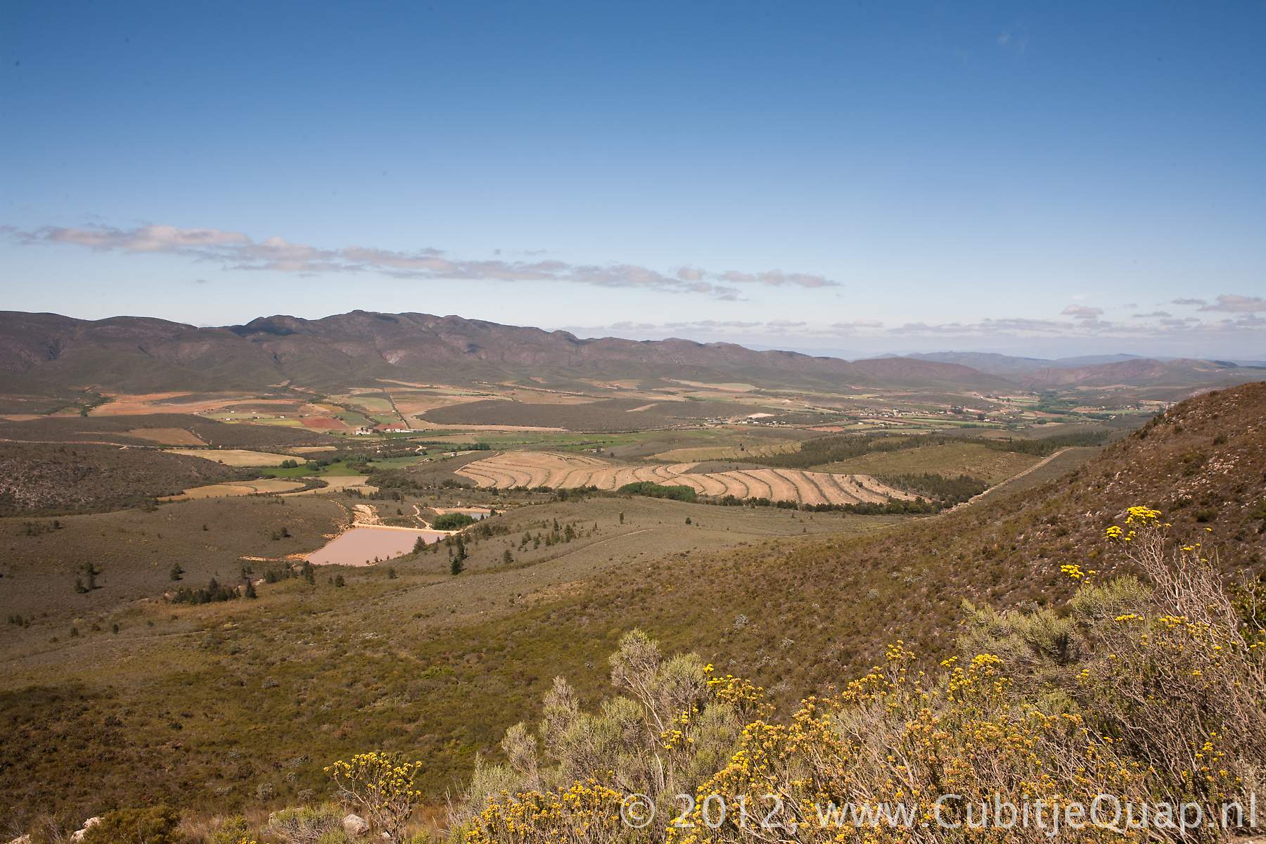
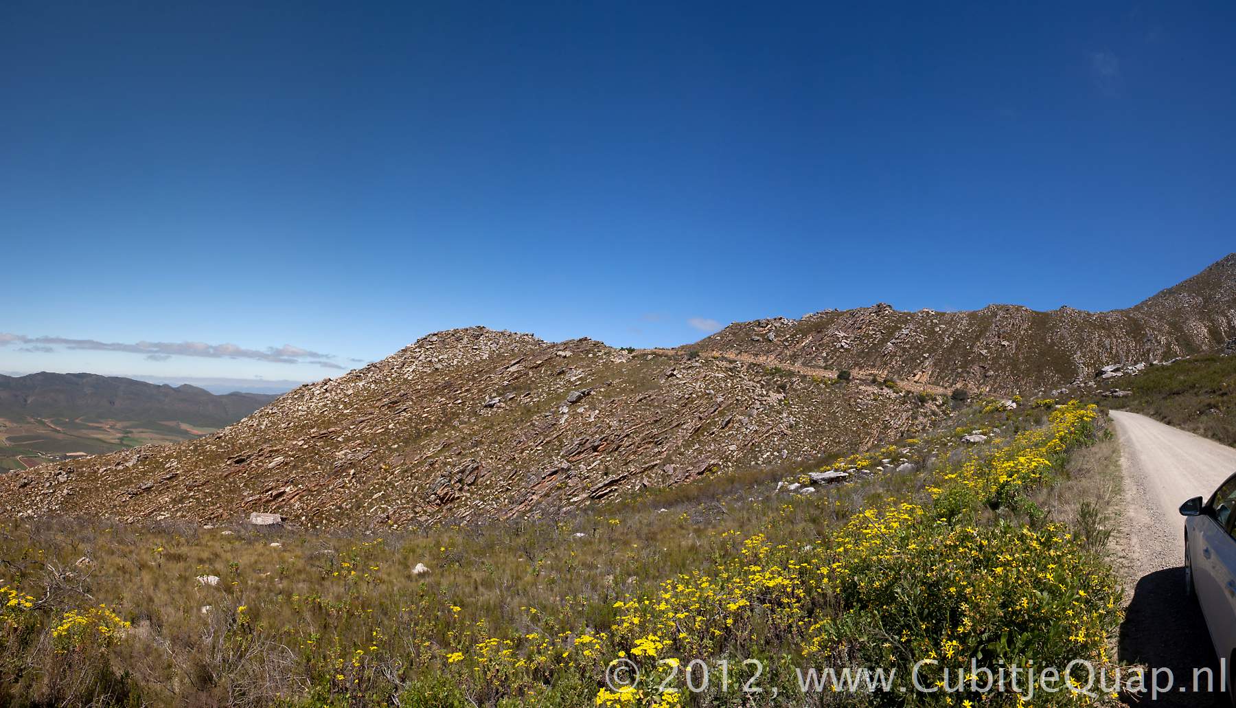
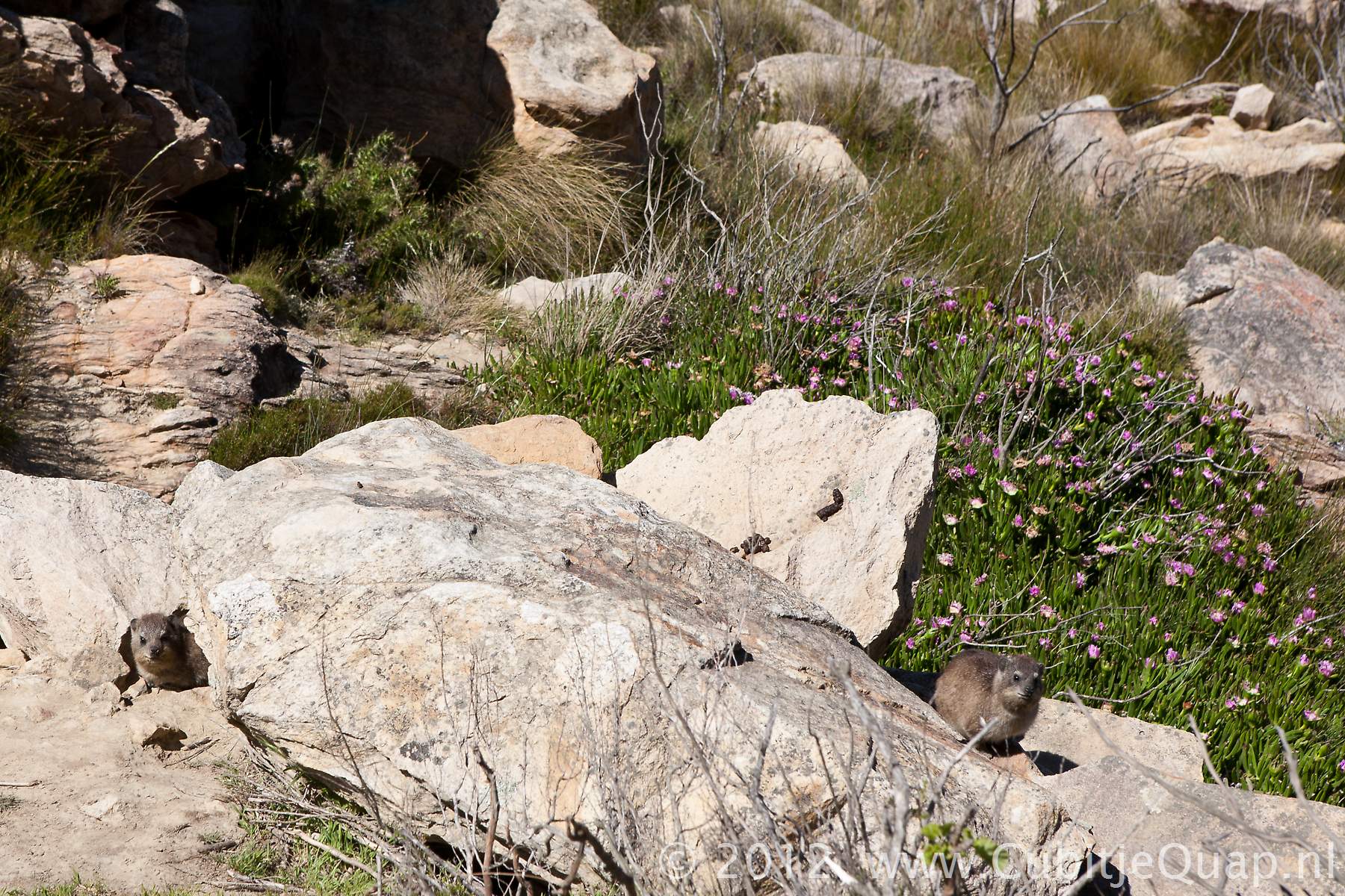
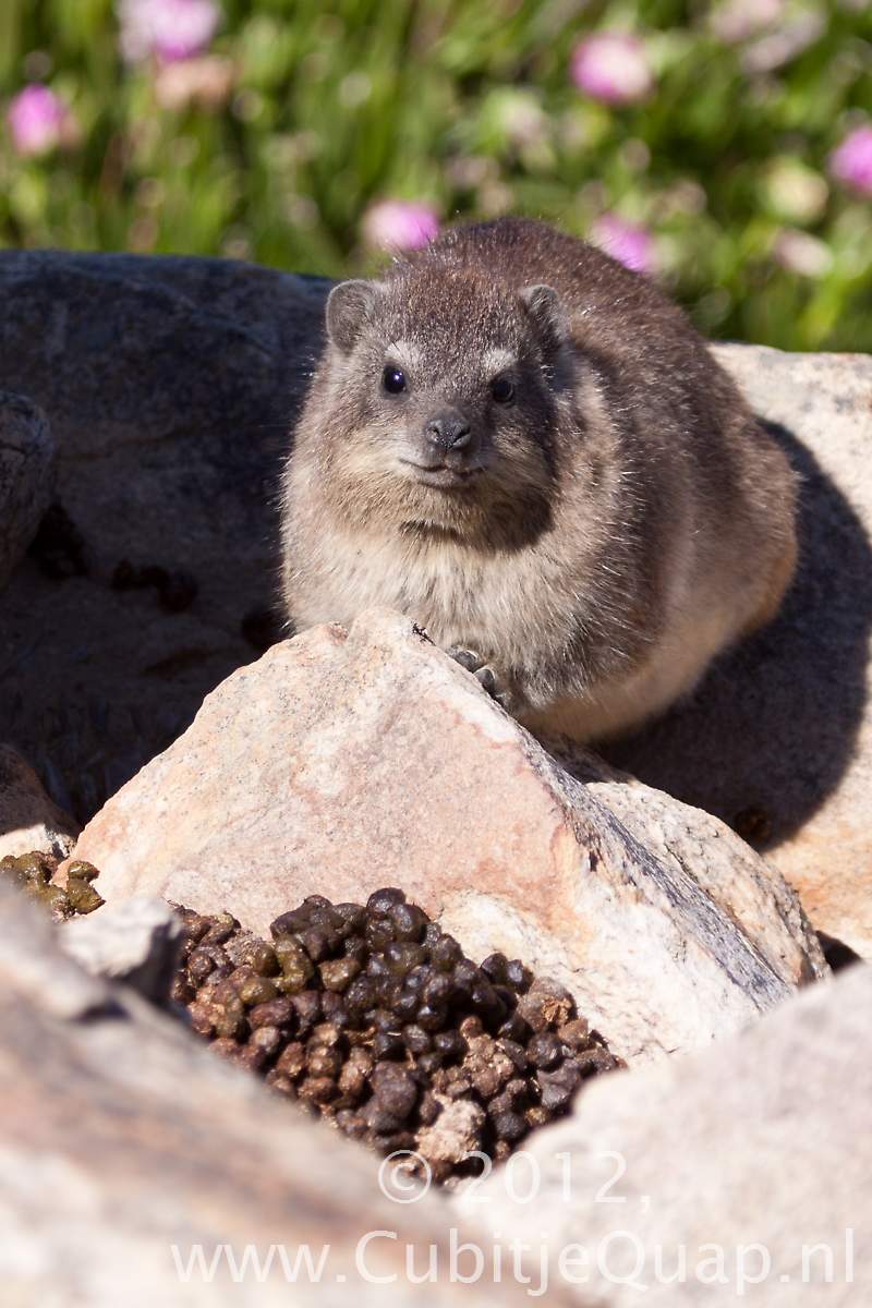
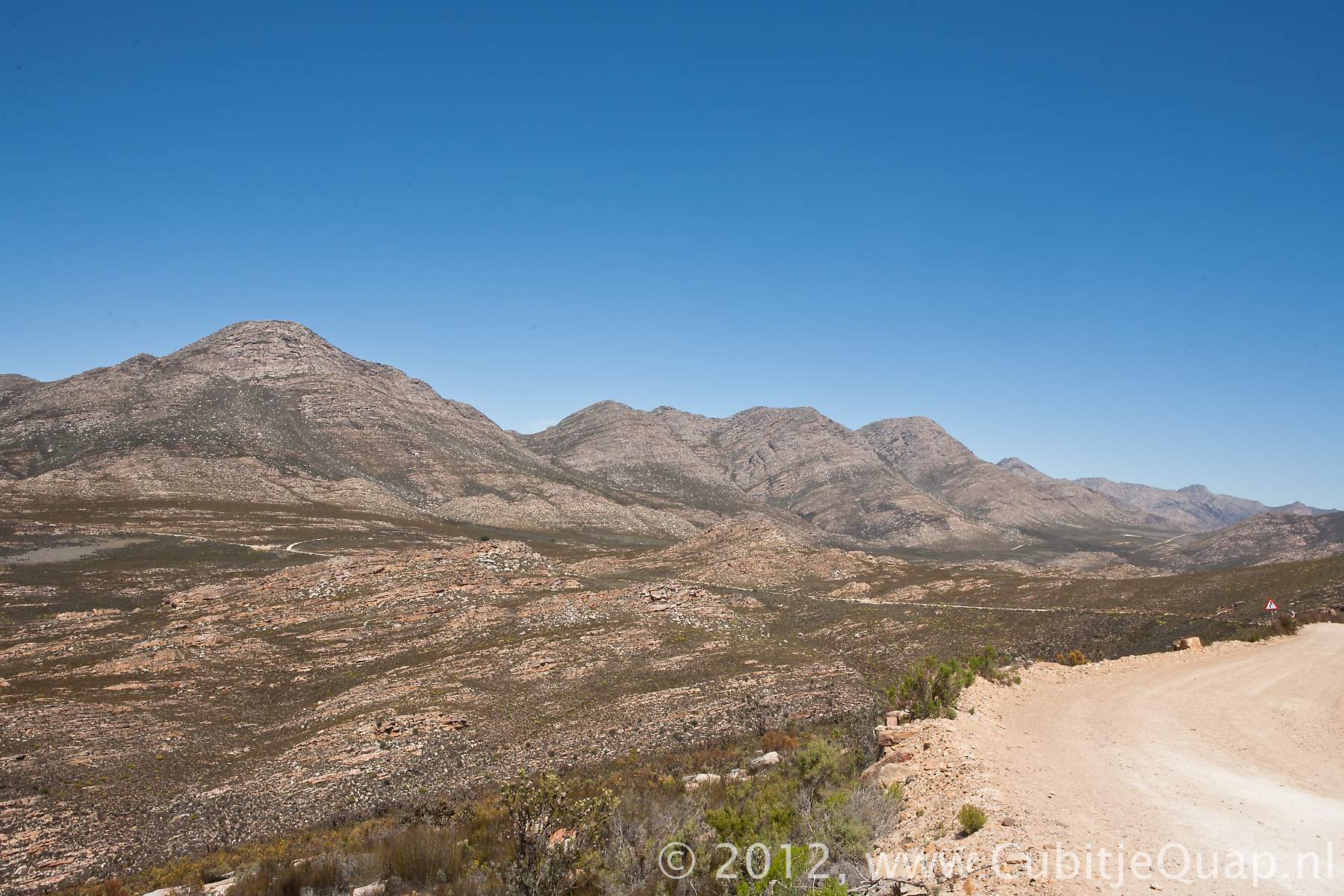
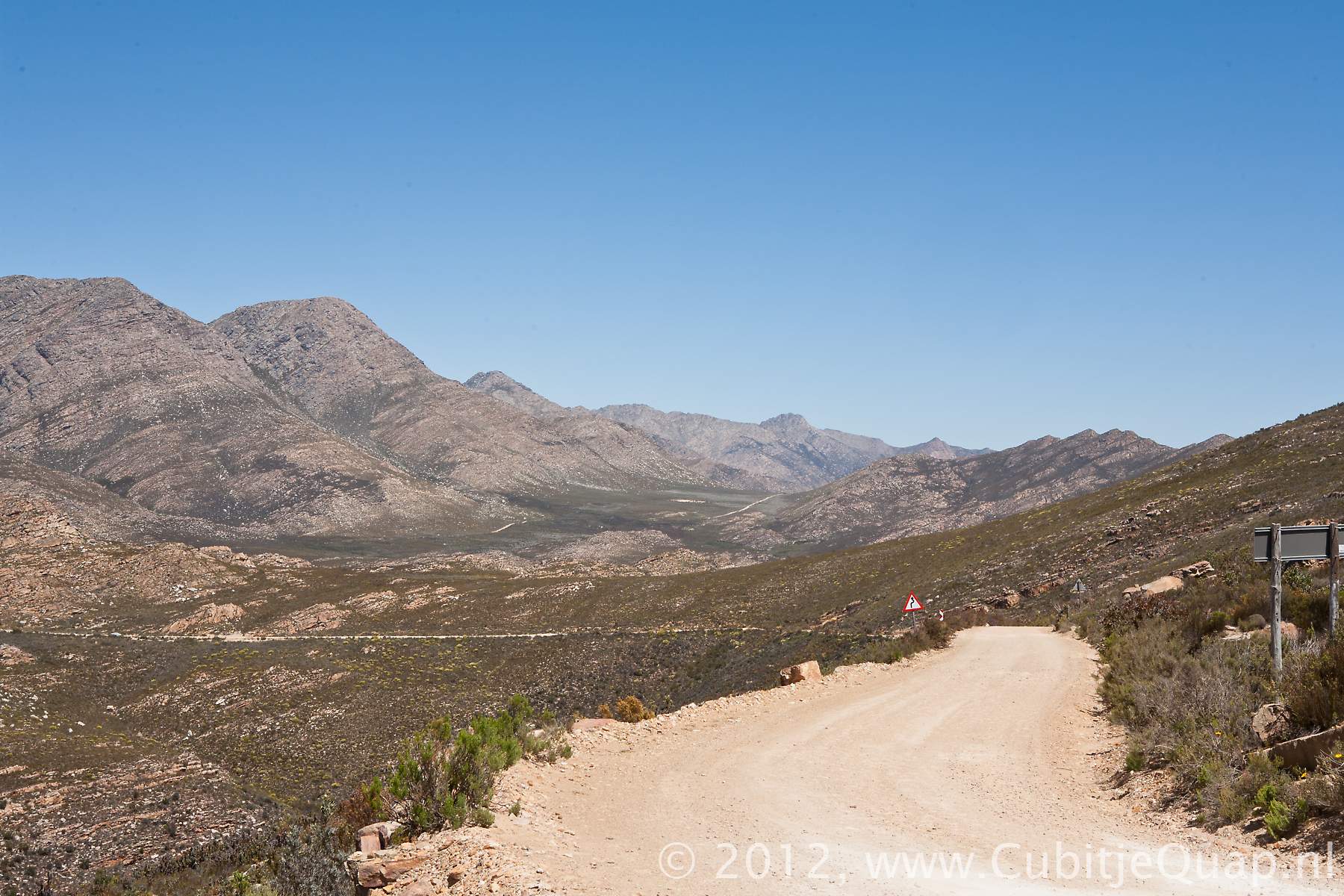
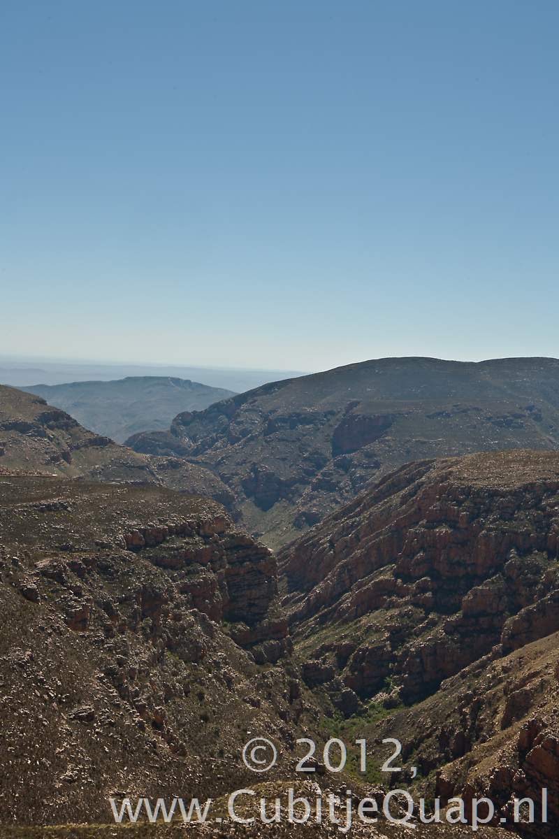
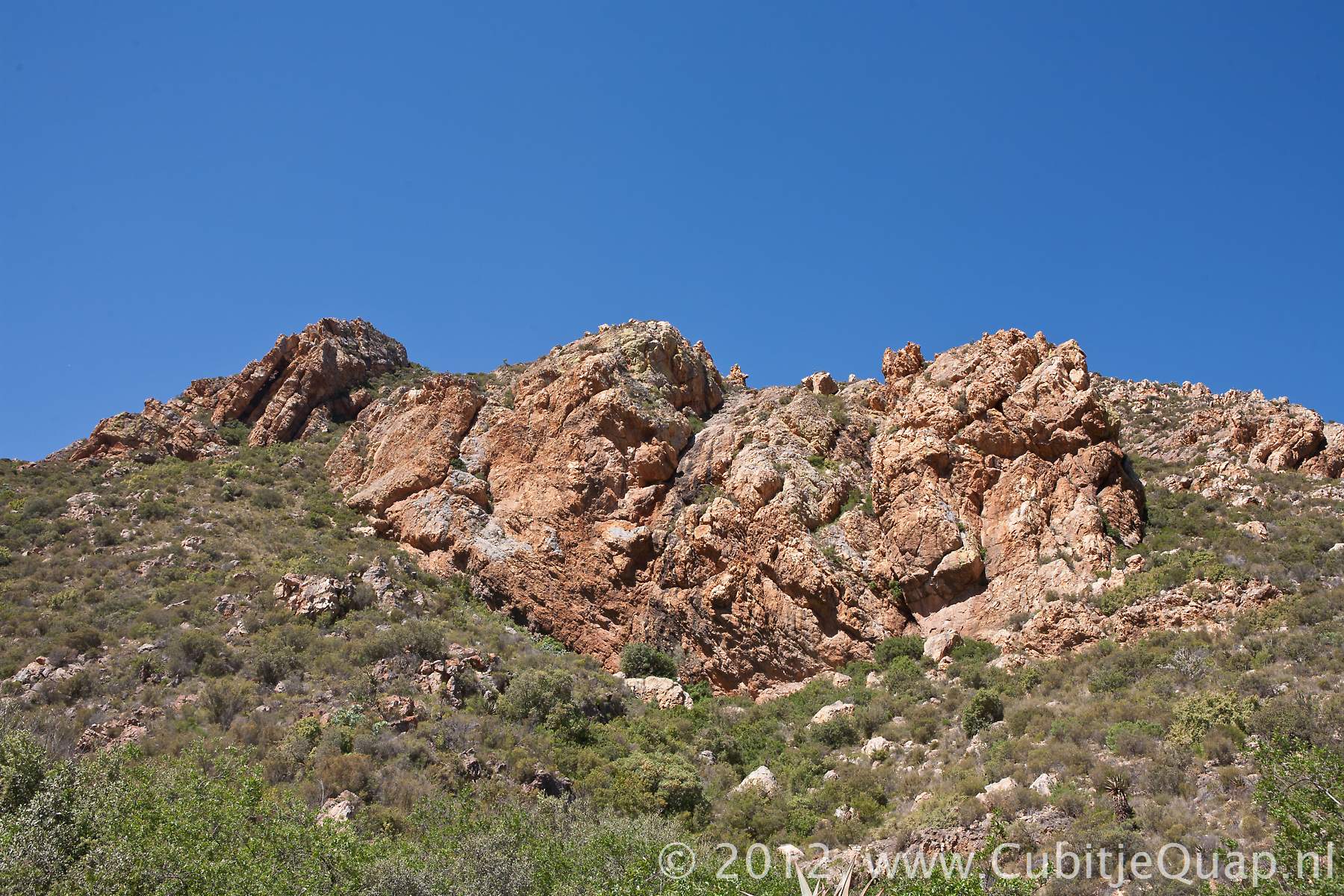
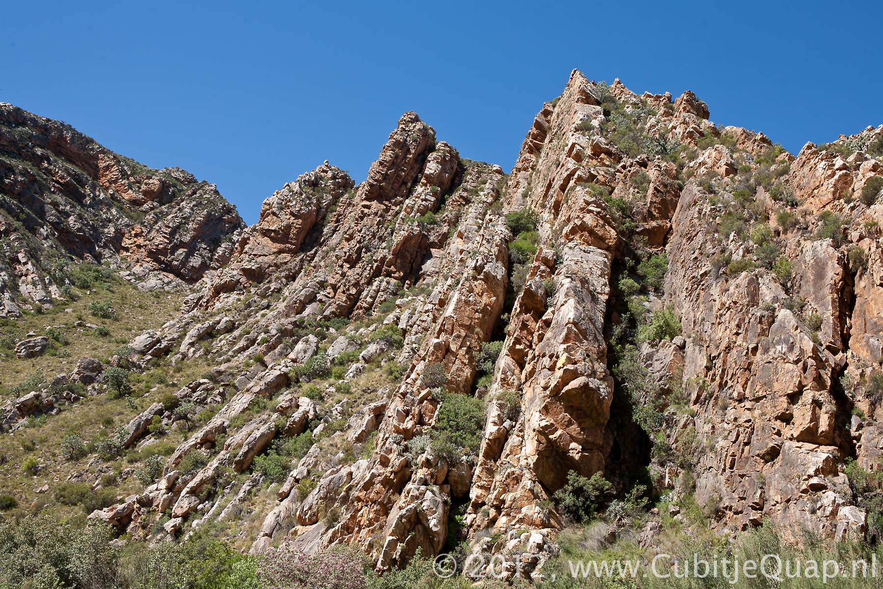
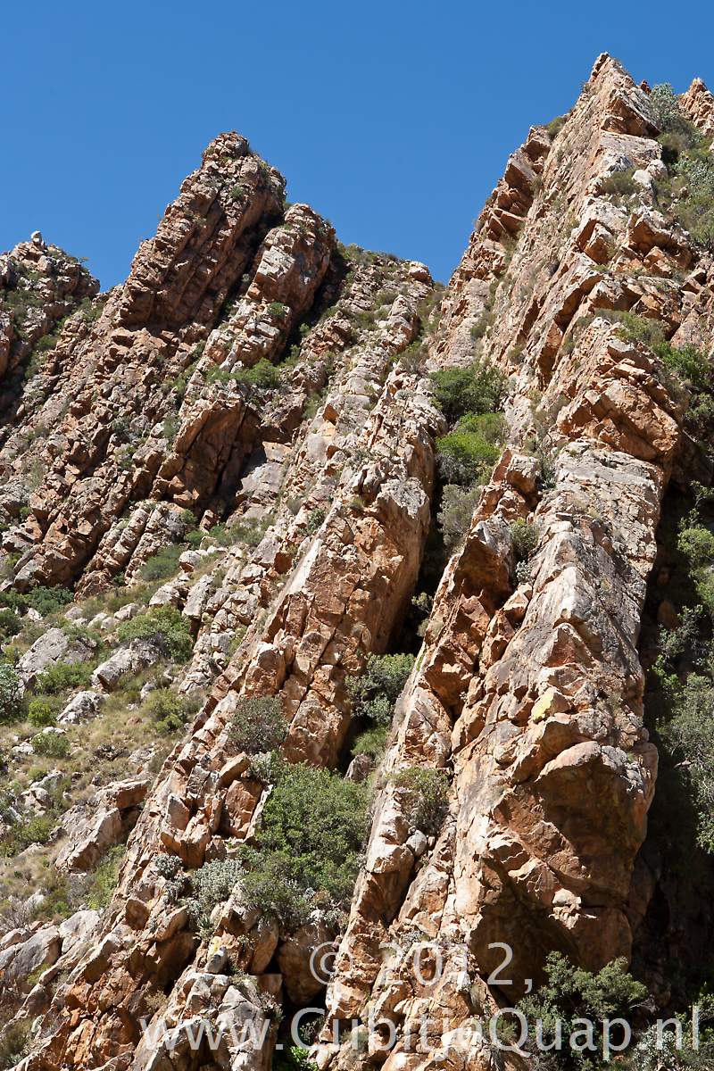
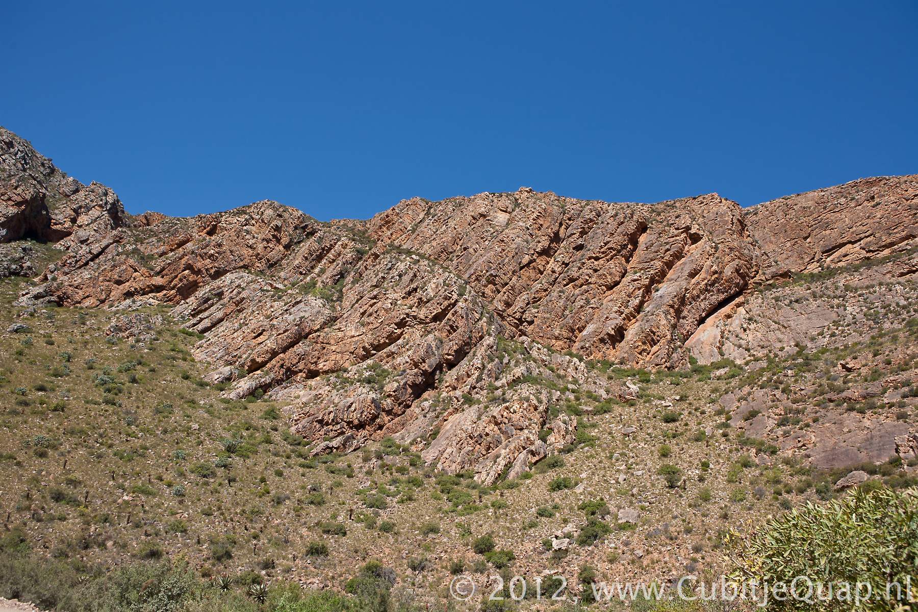
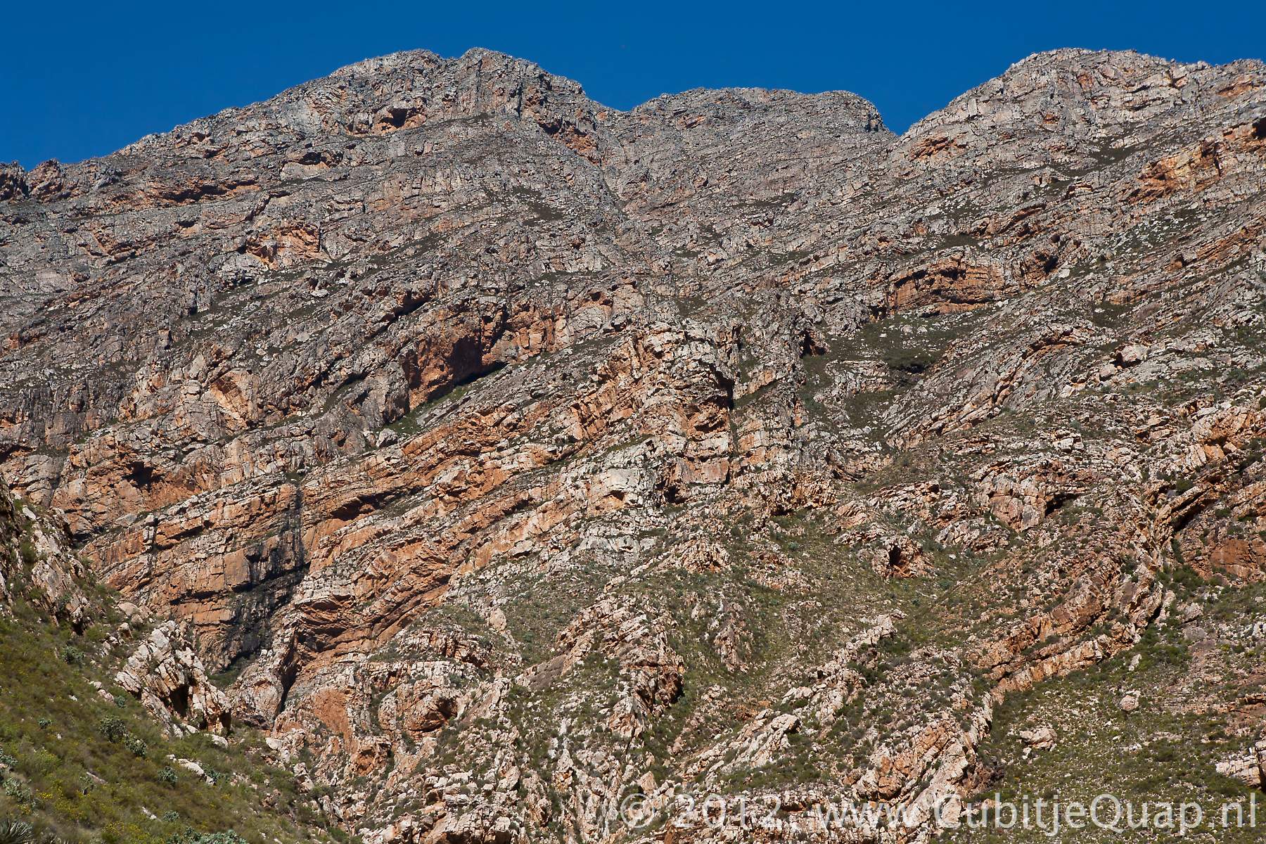
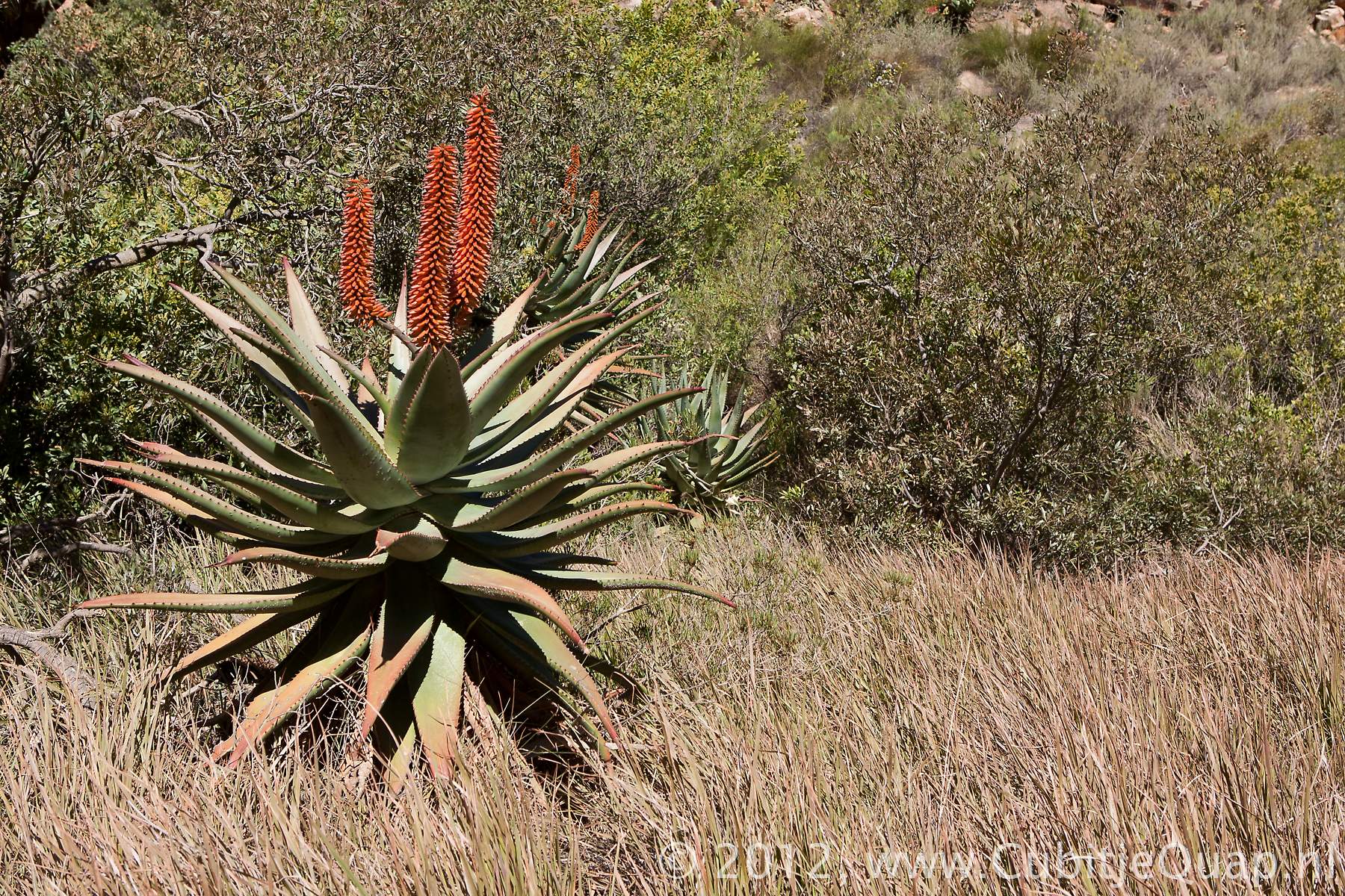
The Swartberg mountain range (swartberg is Afrikaans for black mountain) runs roughly east-west along the northern edge of the semi-arid Little Karoo in the Western Cape province of South Africa. The Swartberg is amongst the best exposed fold mountain chains in the world, harbouring magnificently scenic geological formations. To the north of the range lies the other large semi-arid area in South Africa, the Great Karoo. Much of the Swartberg is part of a UNESCO World Heritage Site.The Swartberg Nature reserve (lso a proclaimed UNESCO World Heritage Site) covers a narrow but long strech of 121.000 hectares of the mountain range which is open to the public.
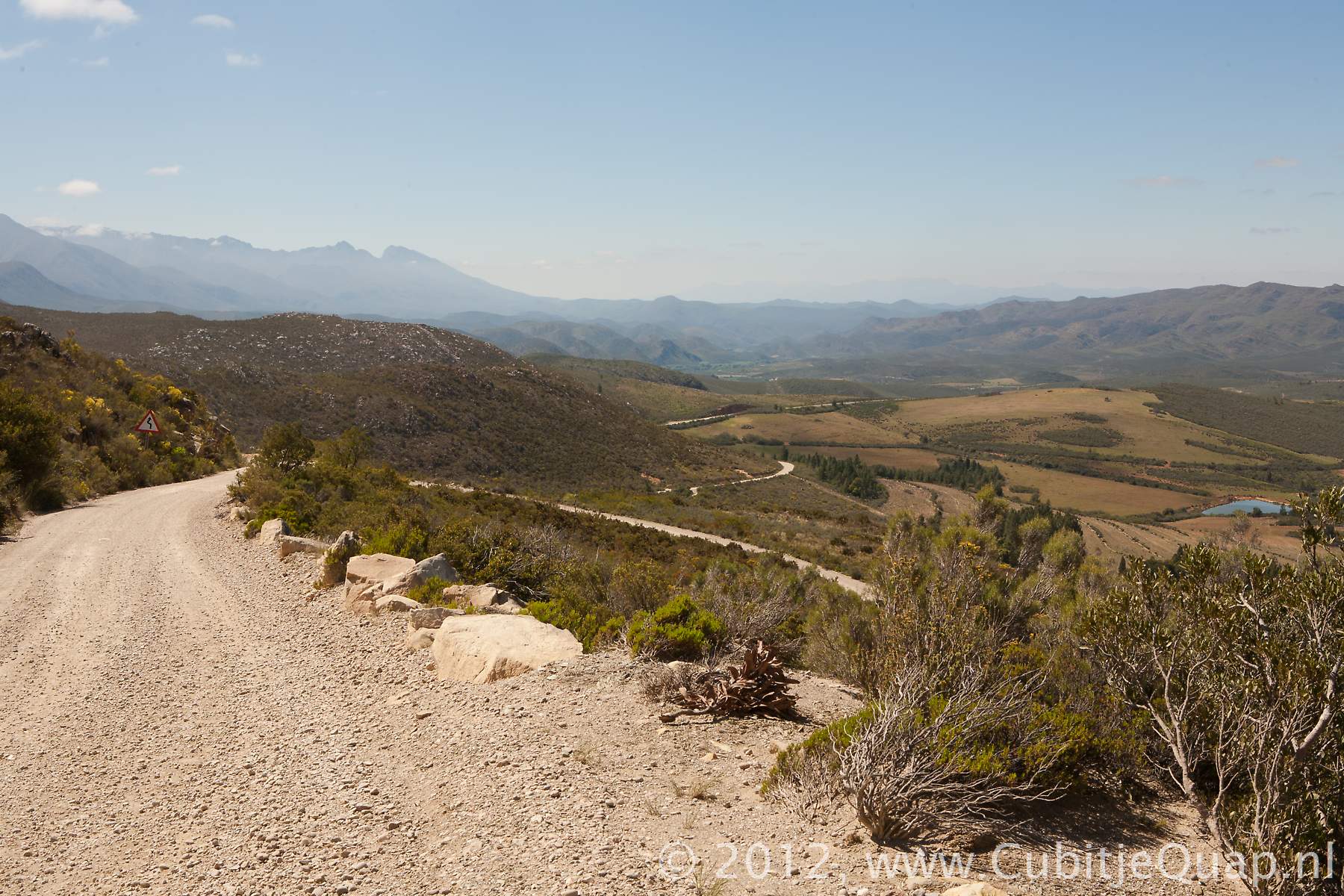
Swartbergpas
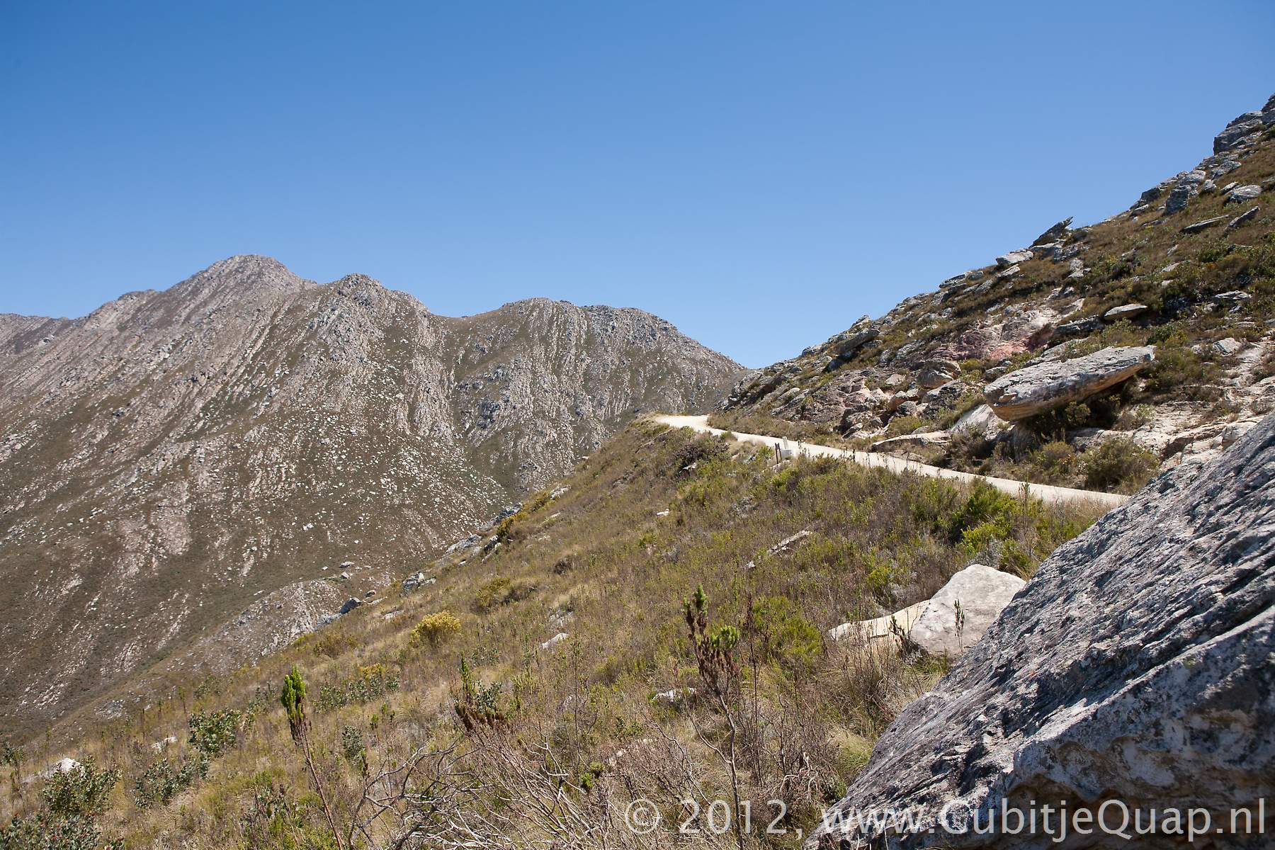
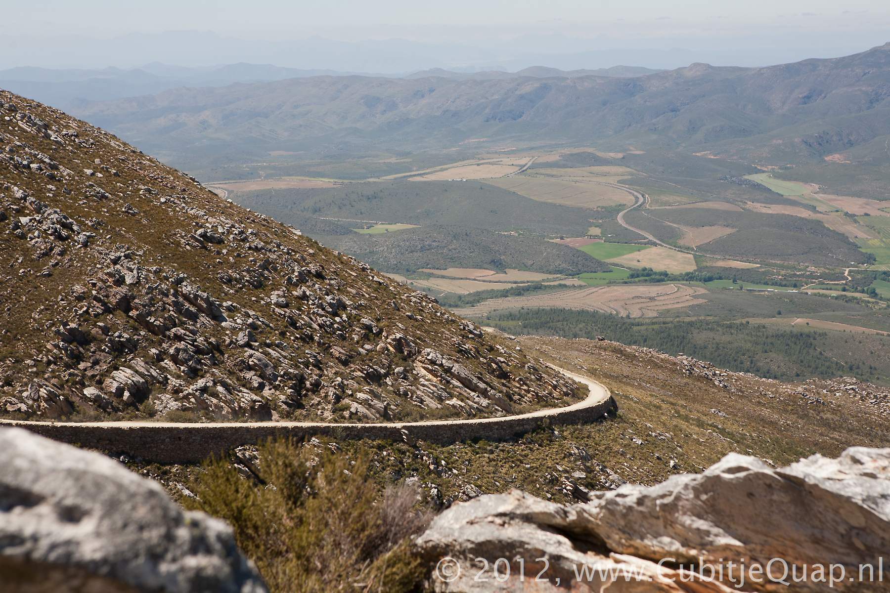
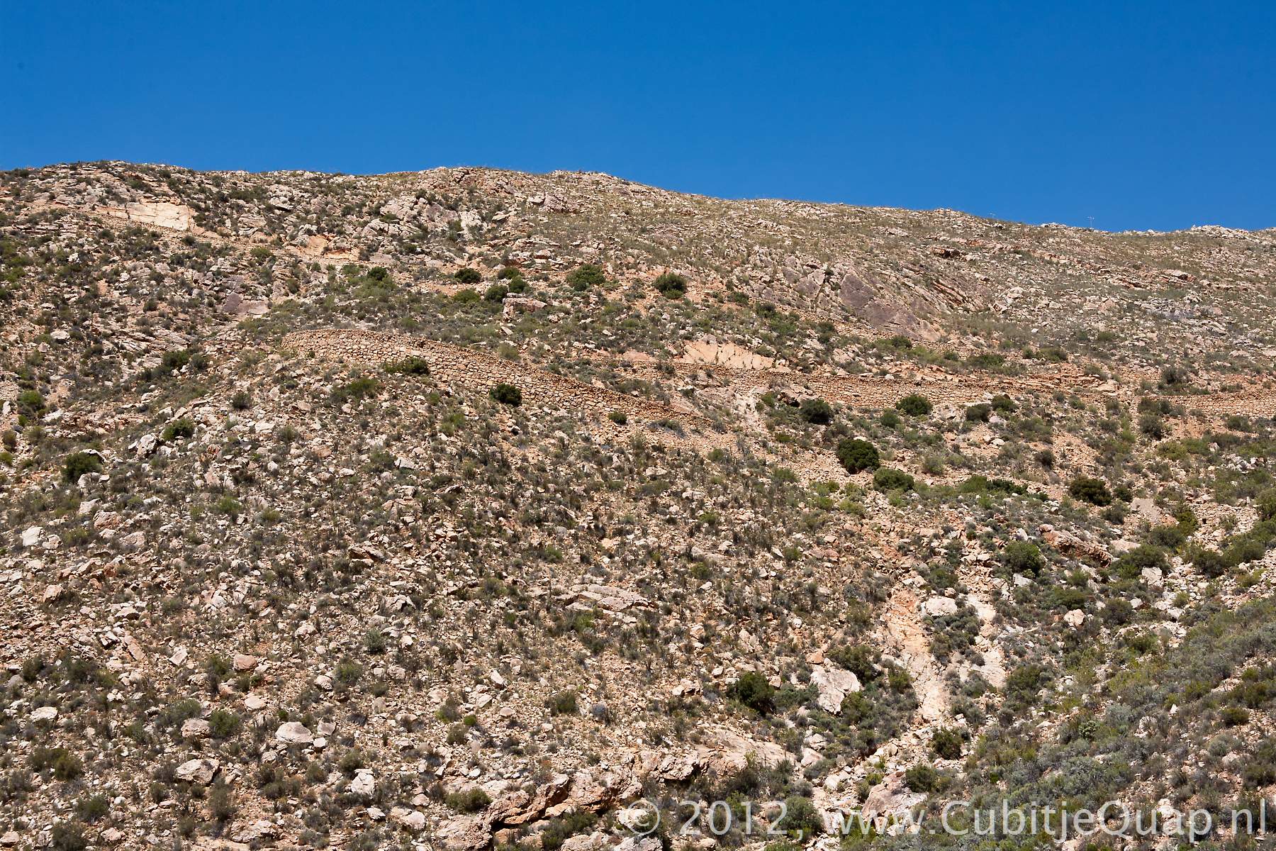
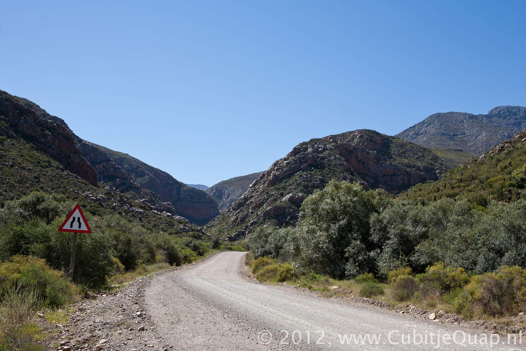
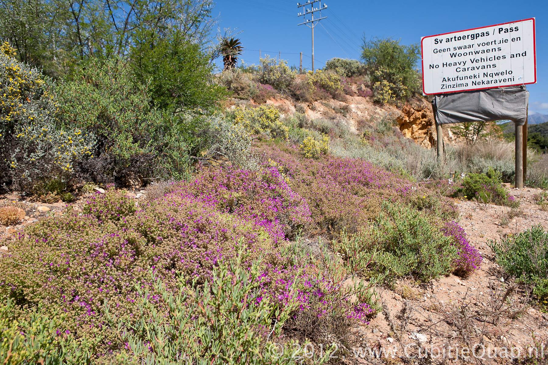
The passThe Swartberg Pass, a National Monument between Prince Albert and Oudtshoorn, is one of the most spectacular and best known mountain passes in South Africa. It was designed by engineer and road builder, Thomas Charles Bain (1830 - 1893), it was the last of the seventeen passes he built in the Cape Province.Thomas Bain first designed the route of the pass. His masterplan was approved by the government in 1880. The first building activitities were executed by Mr John Tassie, he employed 100 people and started working on the Prince Albert side of the mountain in 1881. However, after 13 months of hard labour, only 6 kilometers of road were finished. Then Mr Tassie was declared insolvent and the constructionwork was not continued for a year. Then Thomas Bain took over the responsibility for building the pass. For labour he used 200 to 240 convicts.
The Swartberg pass was officially opened on january 10th in 1888.
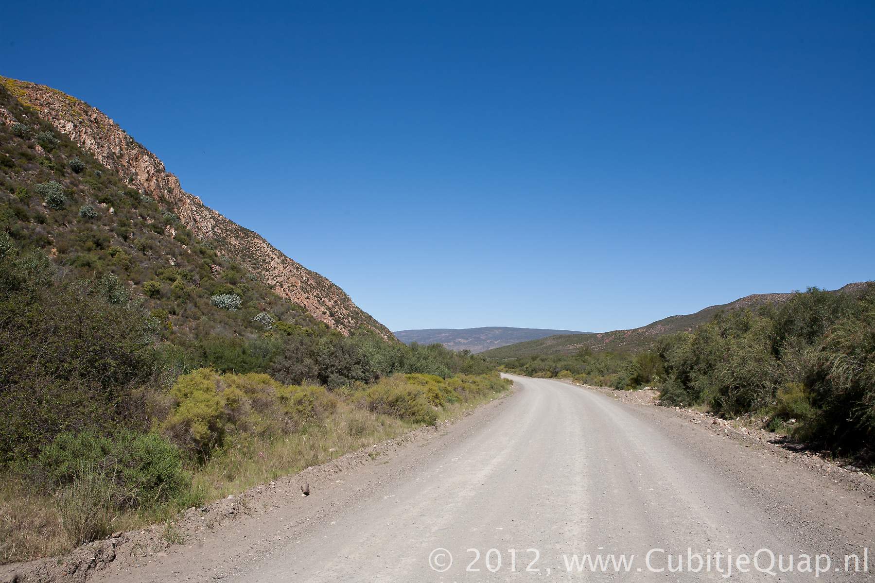
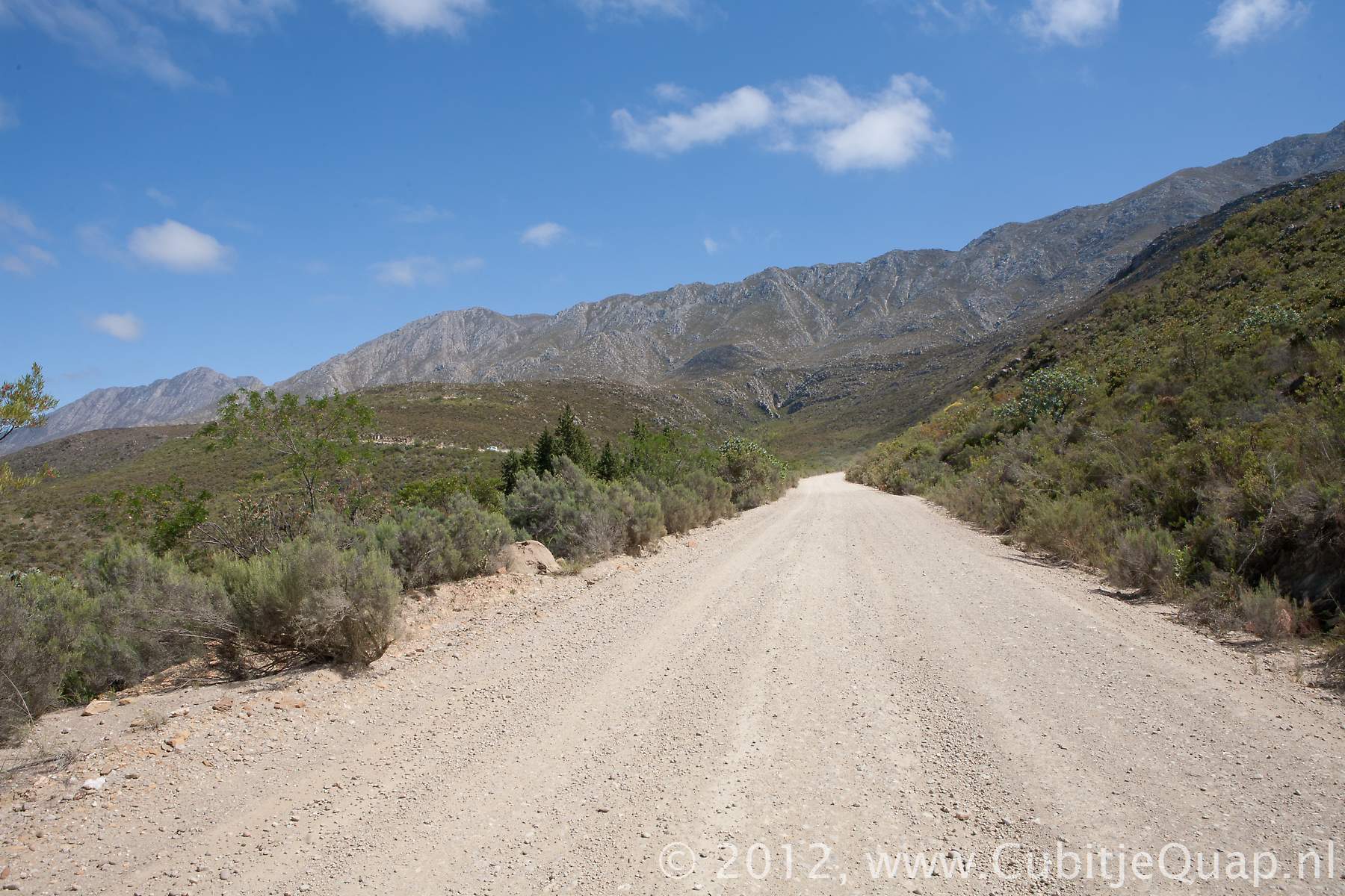
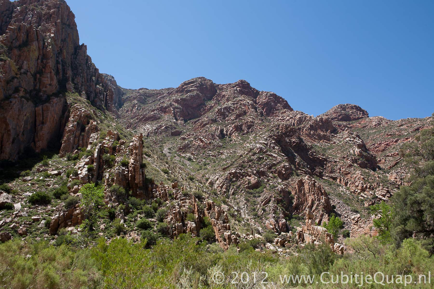
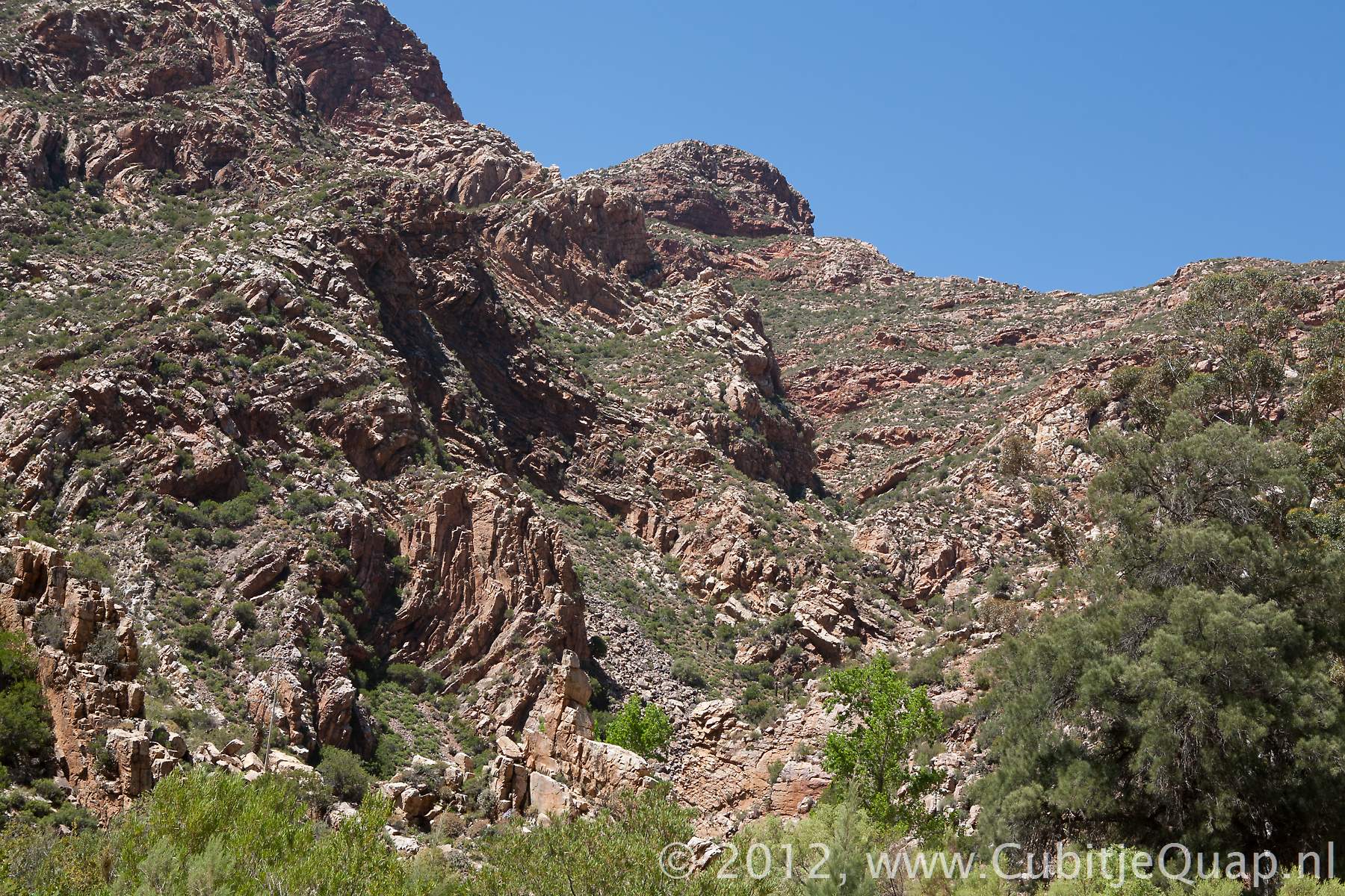
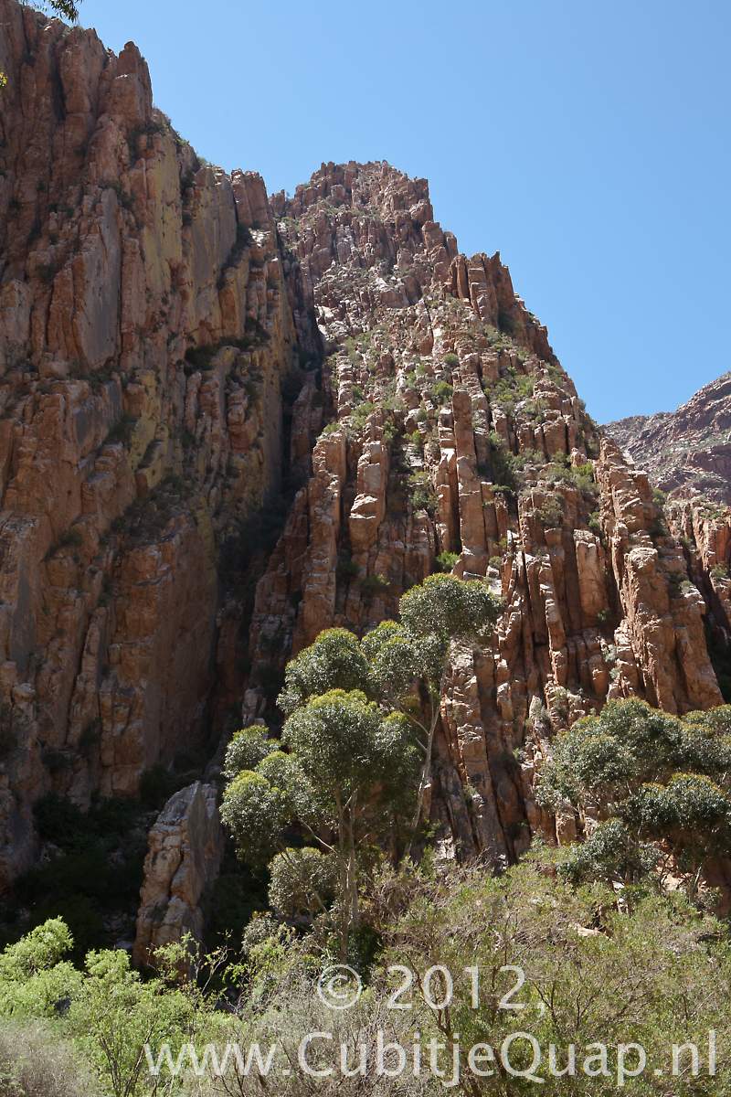
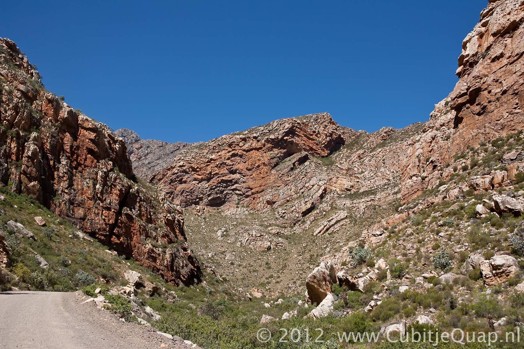
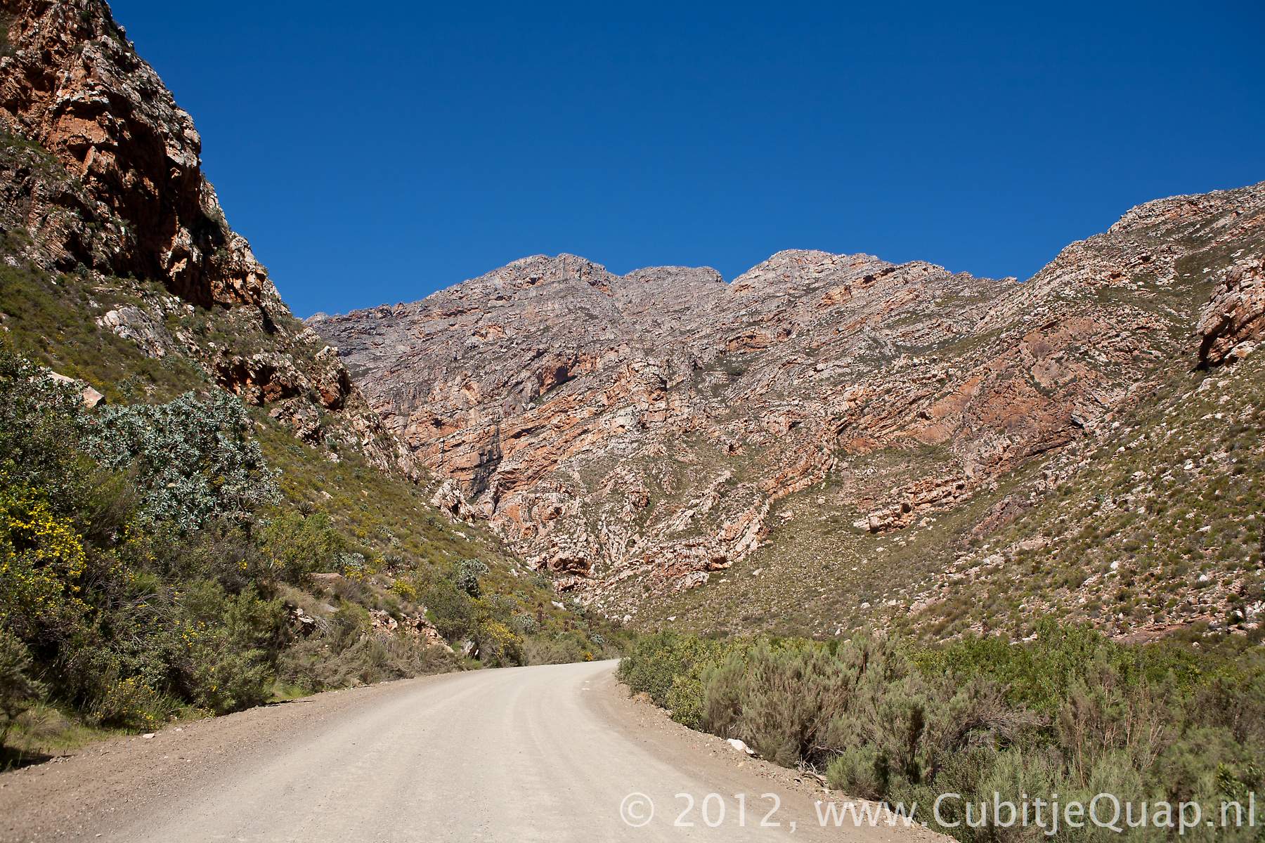
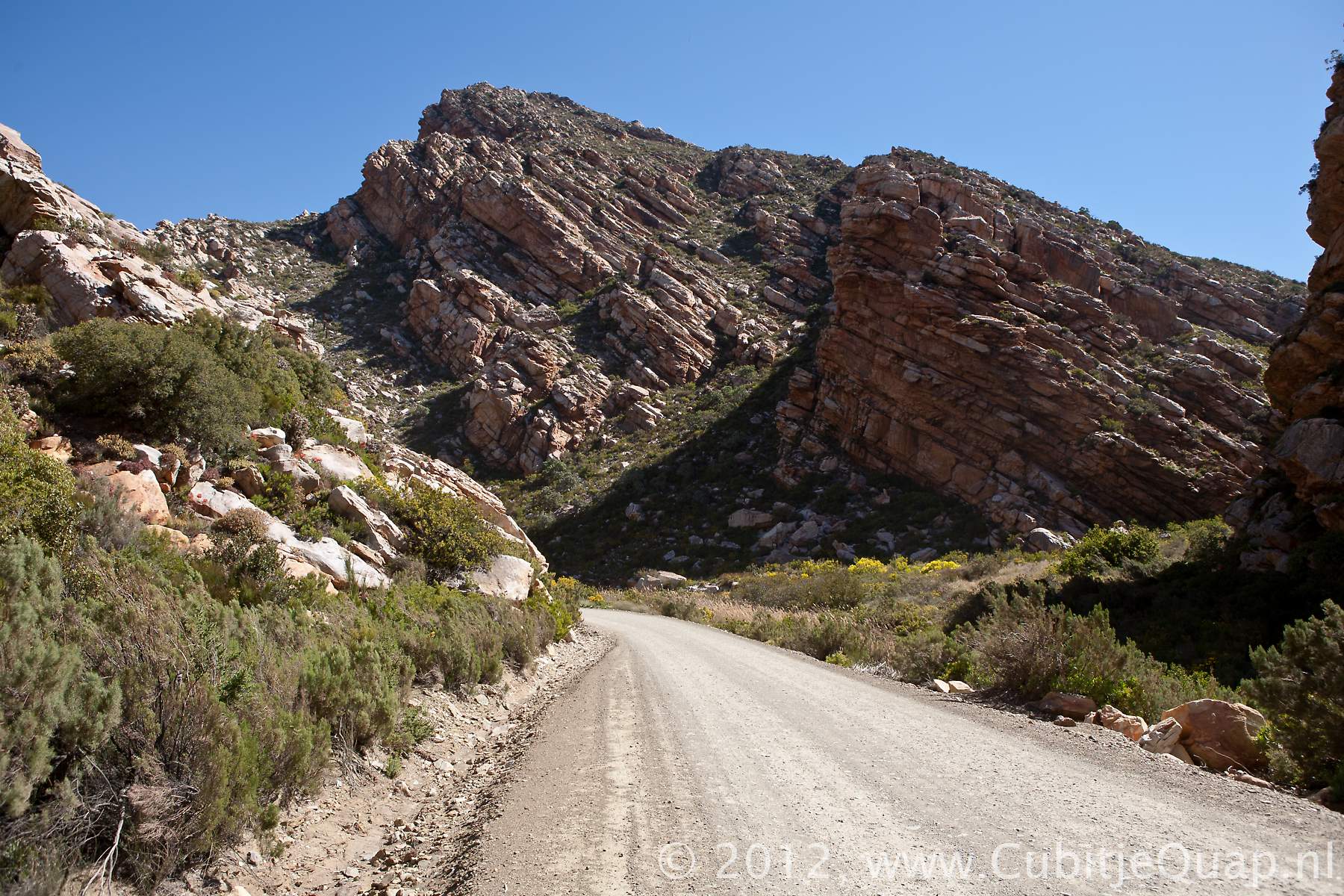
Seweweekse Poort
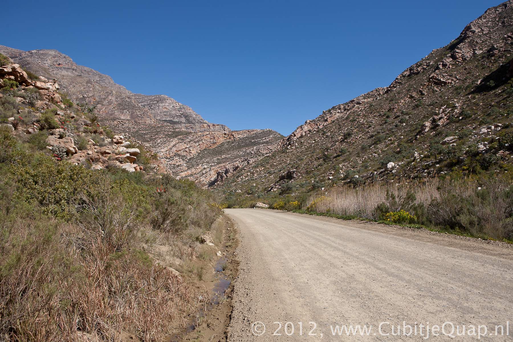
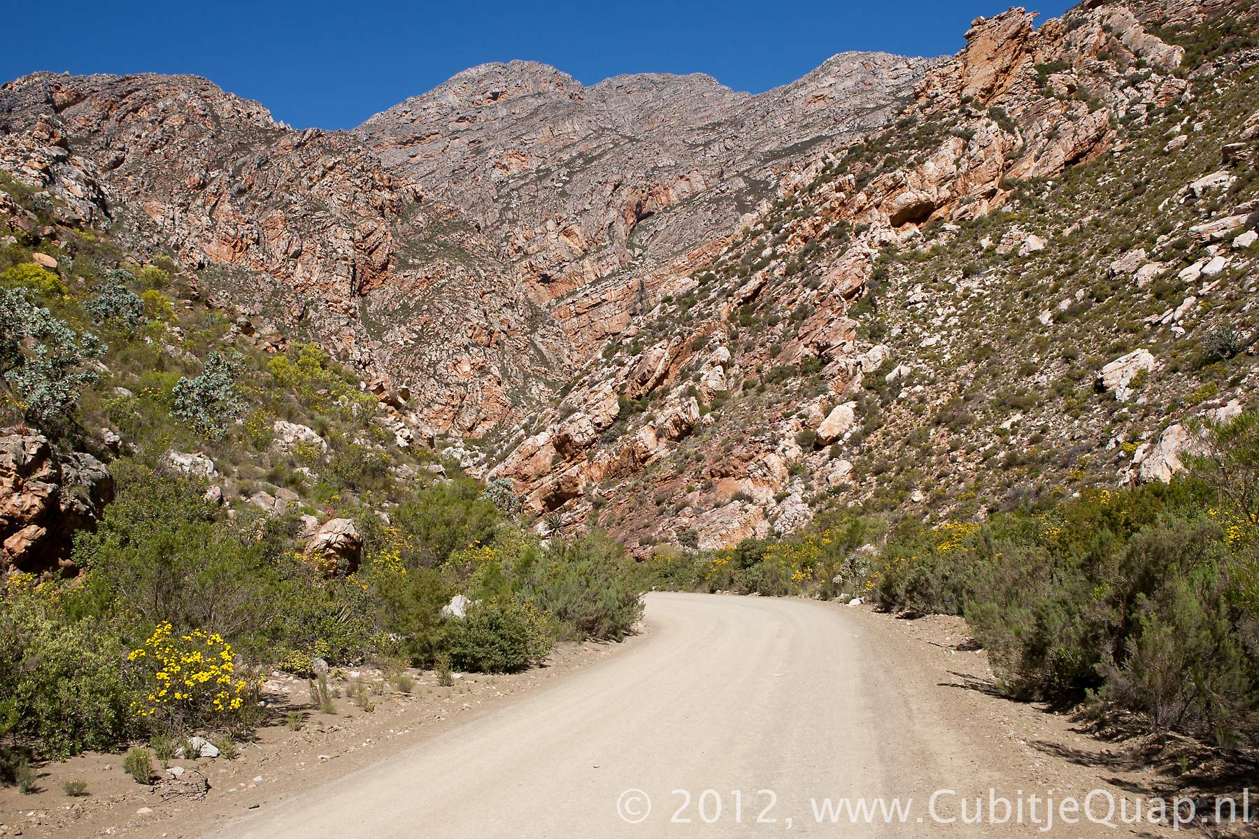
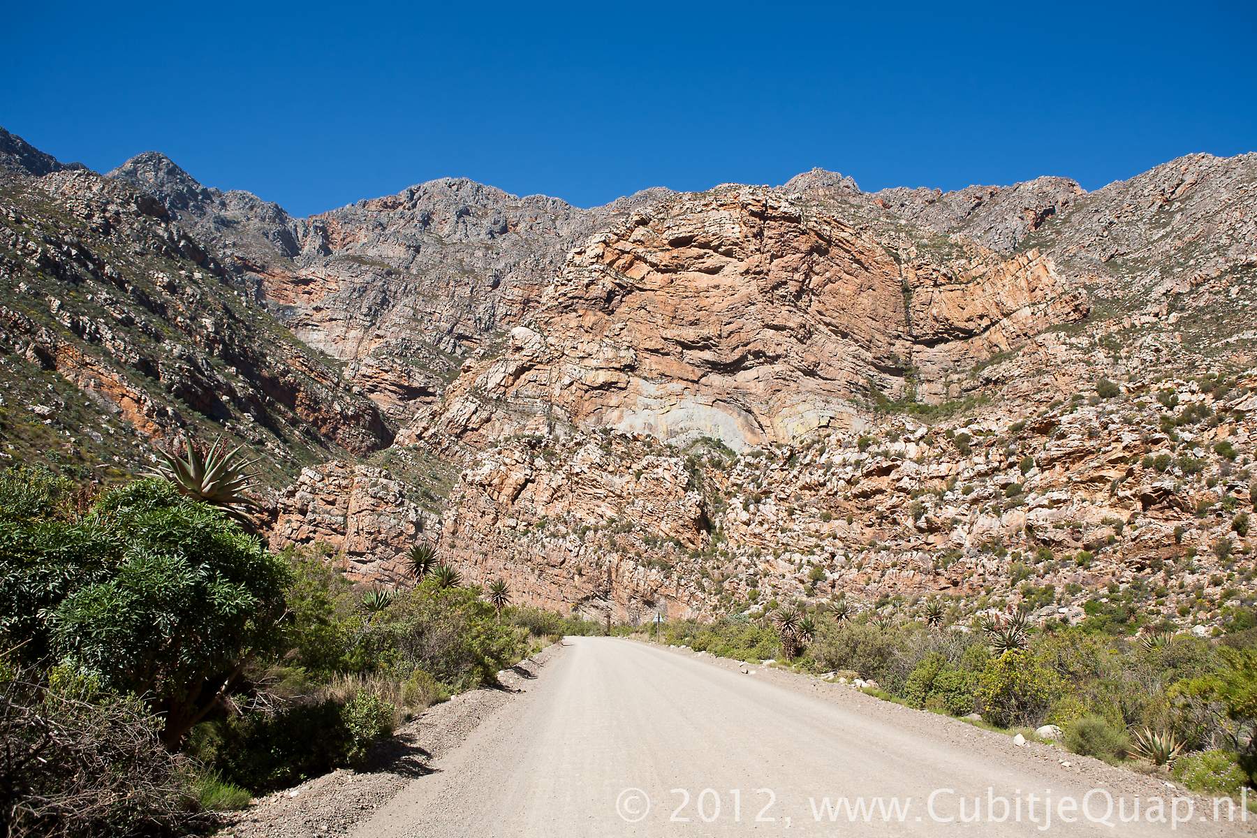
The roadThis road, located east of the Swarberg nature reserve penetrates the Klein Swartberg mountains and is constructed along the Seweweeksepoortriver. Construction was started in 1850 and progressed vert slowly. The labour was mainly executed by convicted prisoners and progress was slow. In 1860 supervision of the project was handed over to Adam G. de Smidt (brother-in-law of Thomas Bain), he managed to get the project finished in 1862.The road is penetrates the Klein Swartberg Mountain, it is at some places very narrow, while precipices of rock tower like walls on both sides.
The nameThere are two theories about the origin of the name. The first explanation is that the poort was named after Reverend Leopold Zerwick (a Berlin Mission Society preacher who was stationed at the former mission station of Zoar south of the poort), where the pronounciation of this name changed to Seweweekse Poort.
Another theory is that it refers to local history for example: - It took the authorities a period of seven weeks to capture a band of highway-men that were hiding in the area
- A farmer got trapped in flashfloods for seven weeks
- The time it took brandy smugglers to get their heavy wagons through the poort was seven weeks.