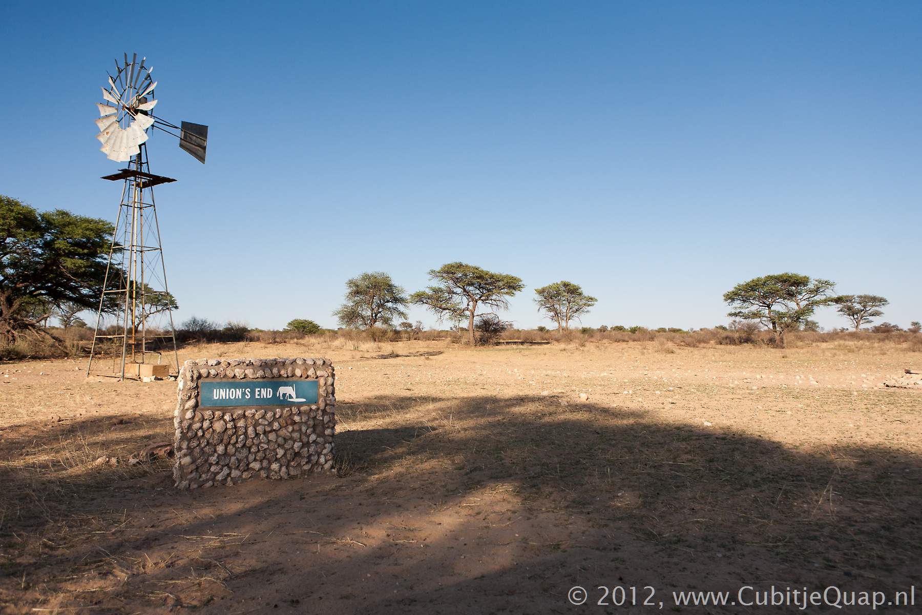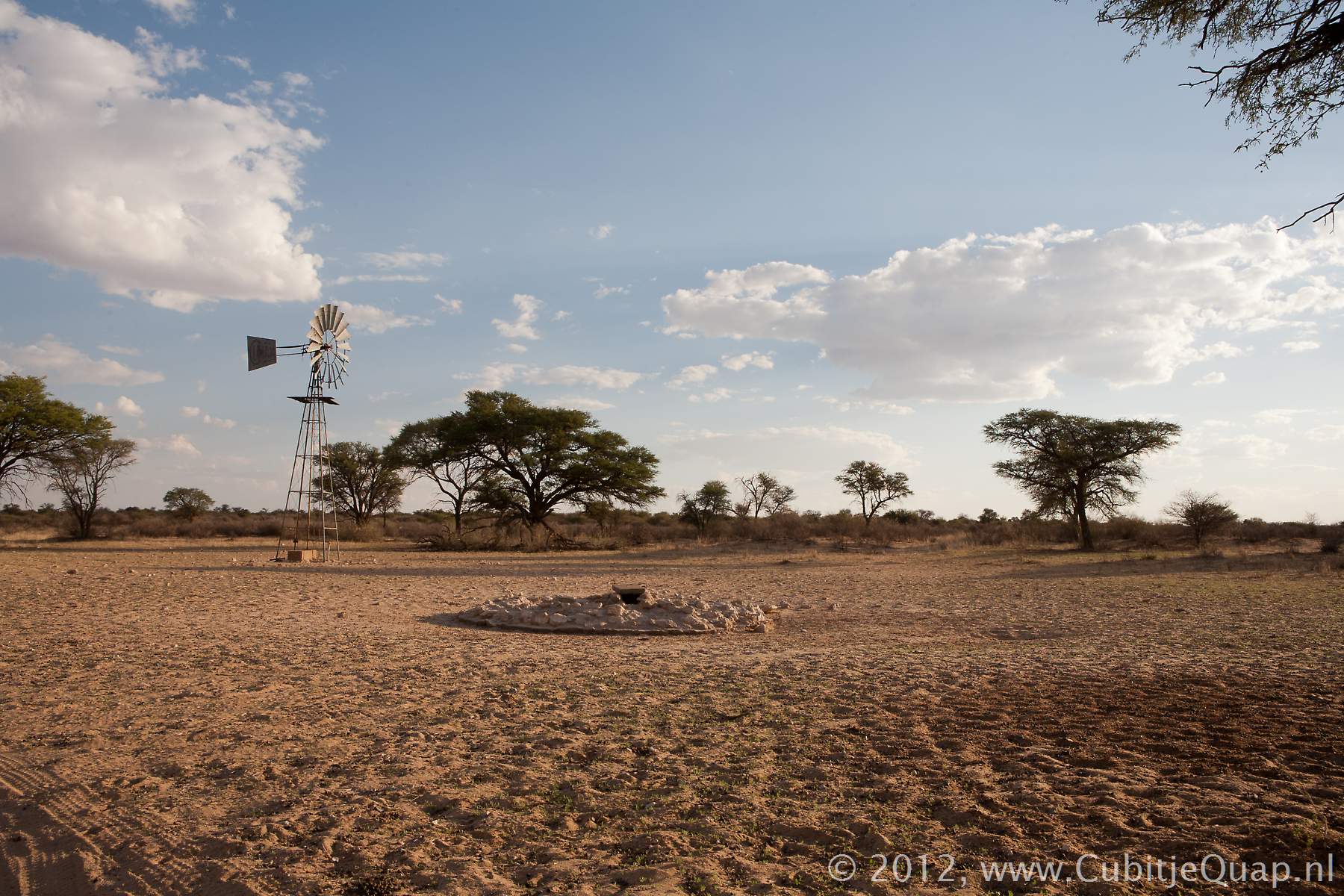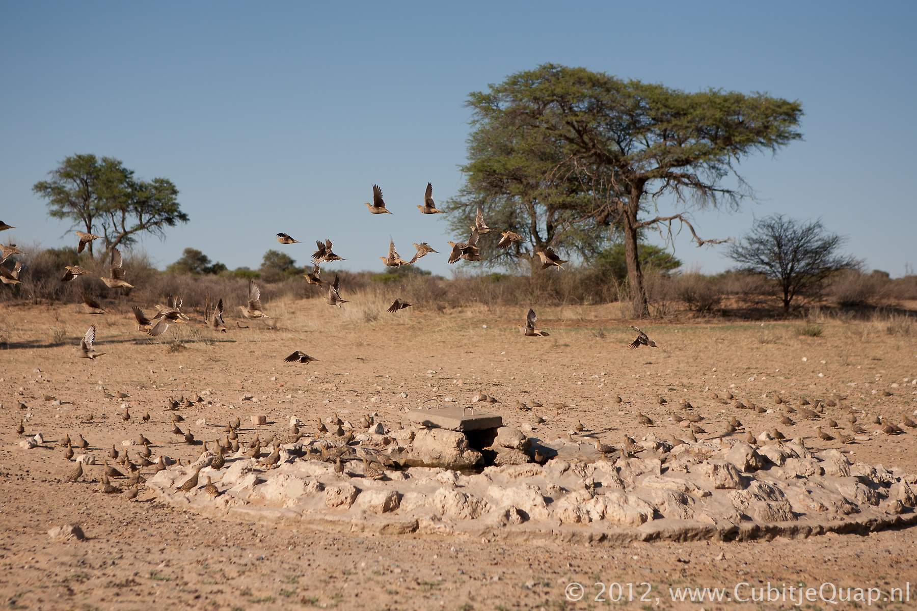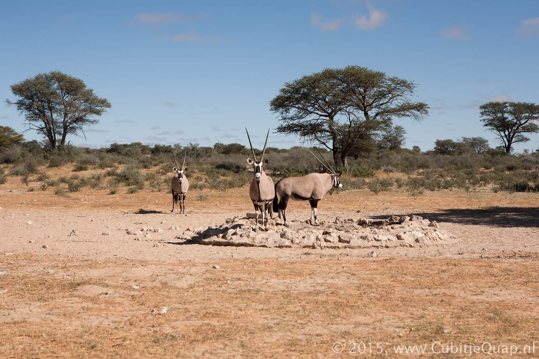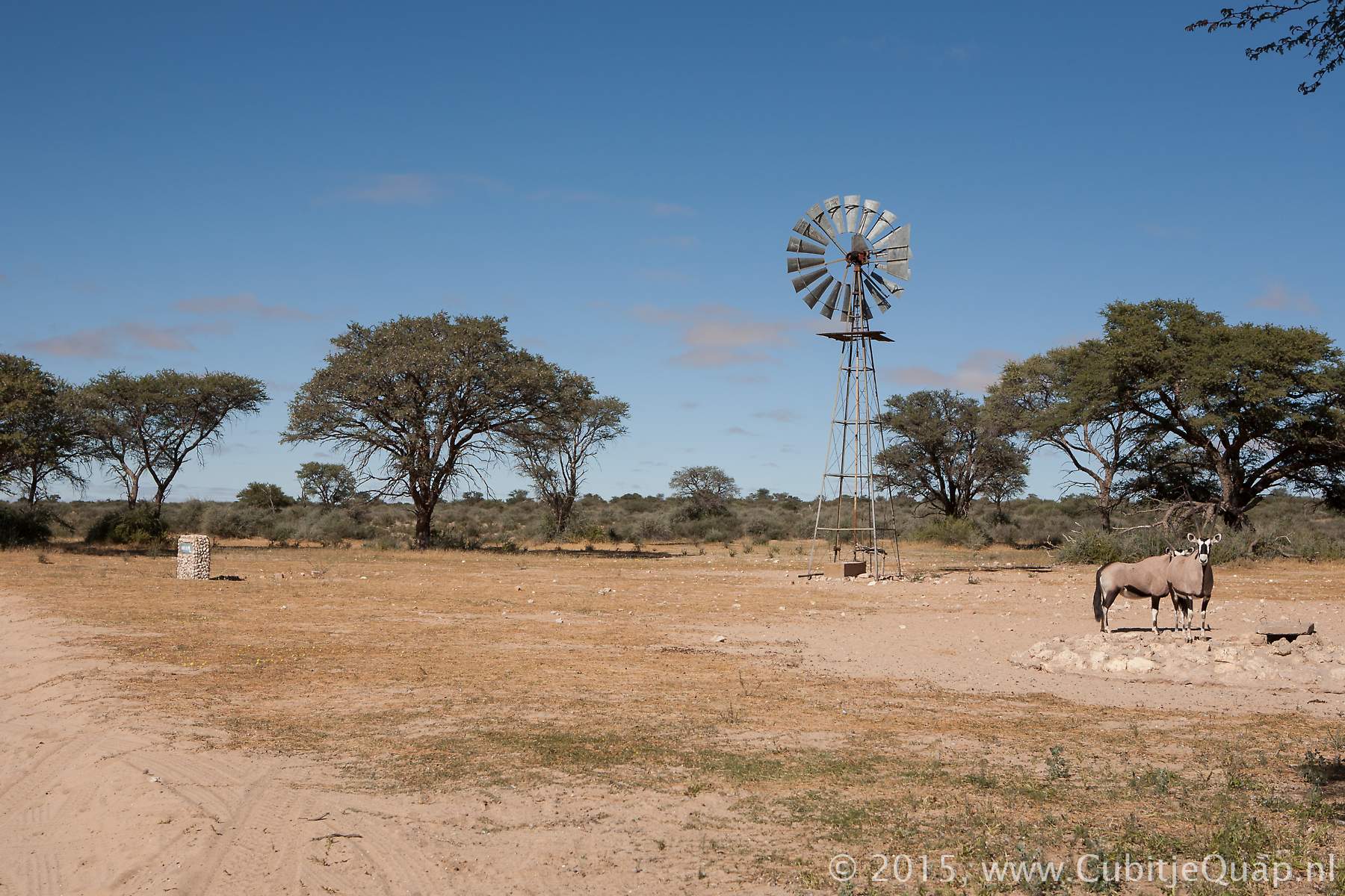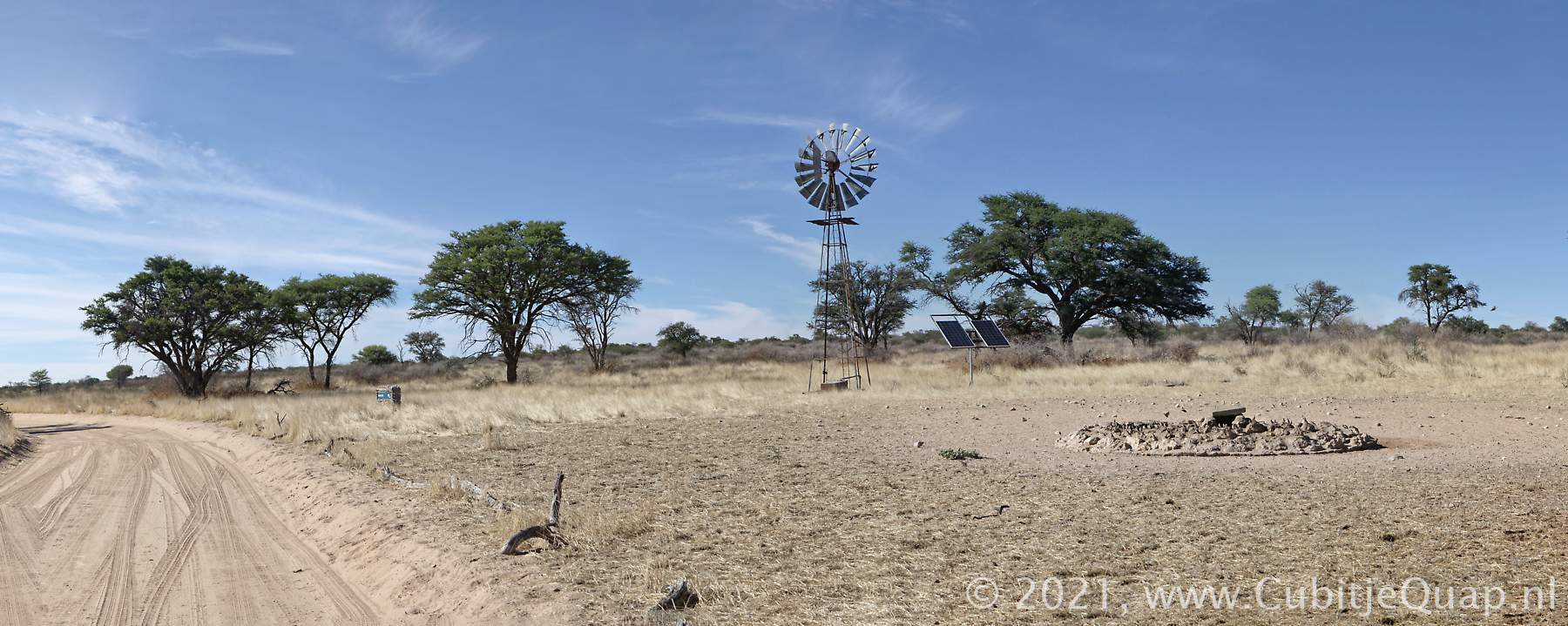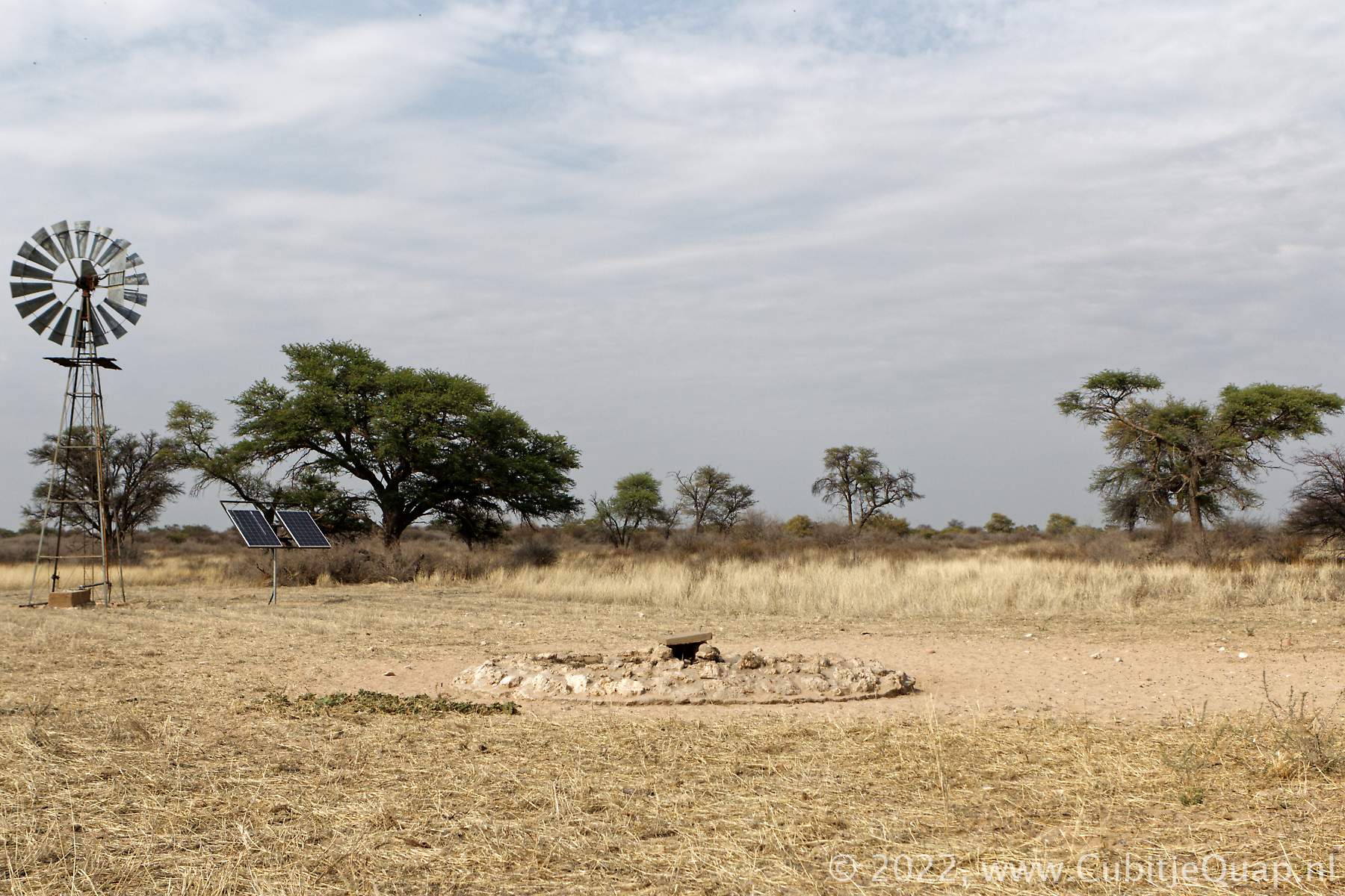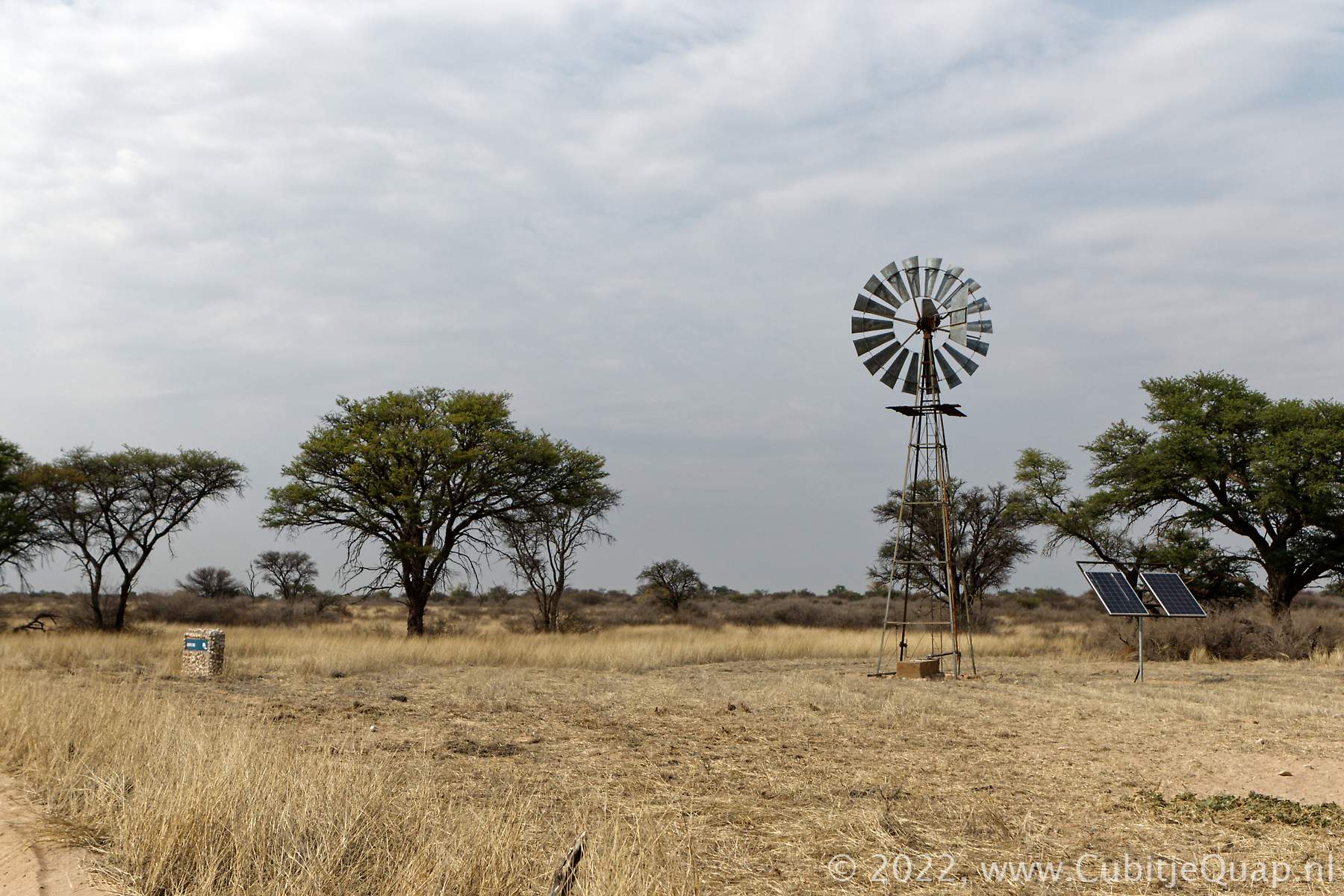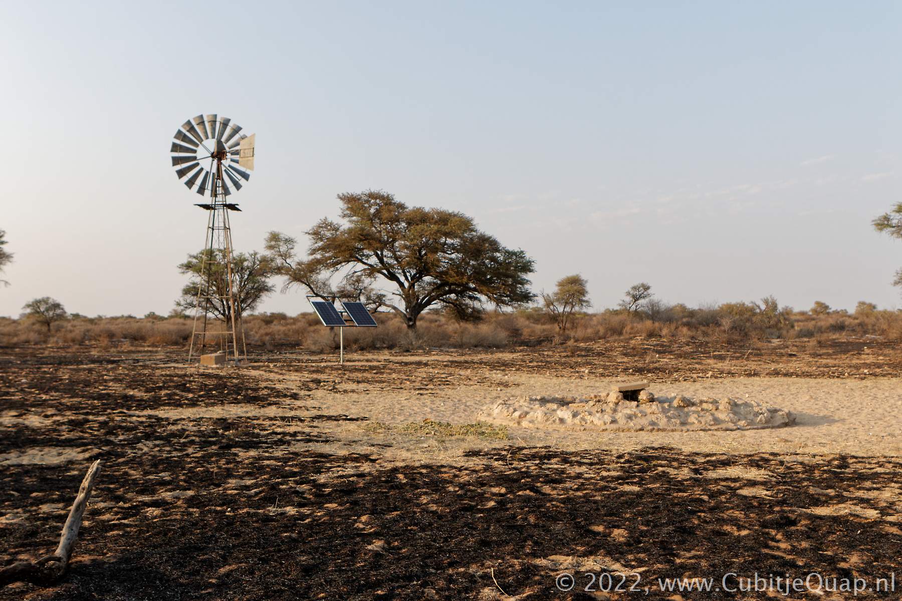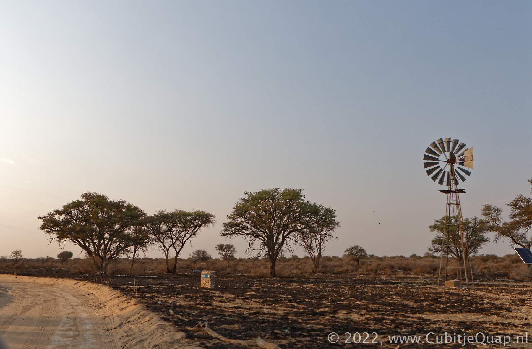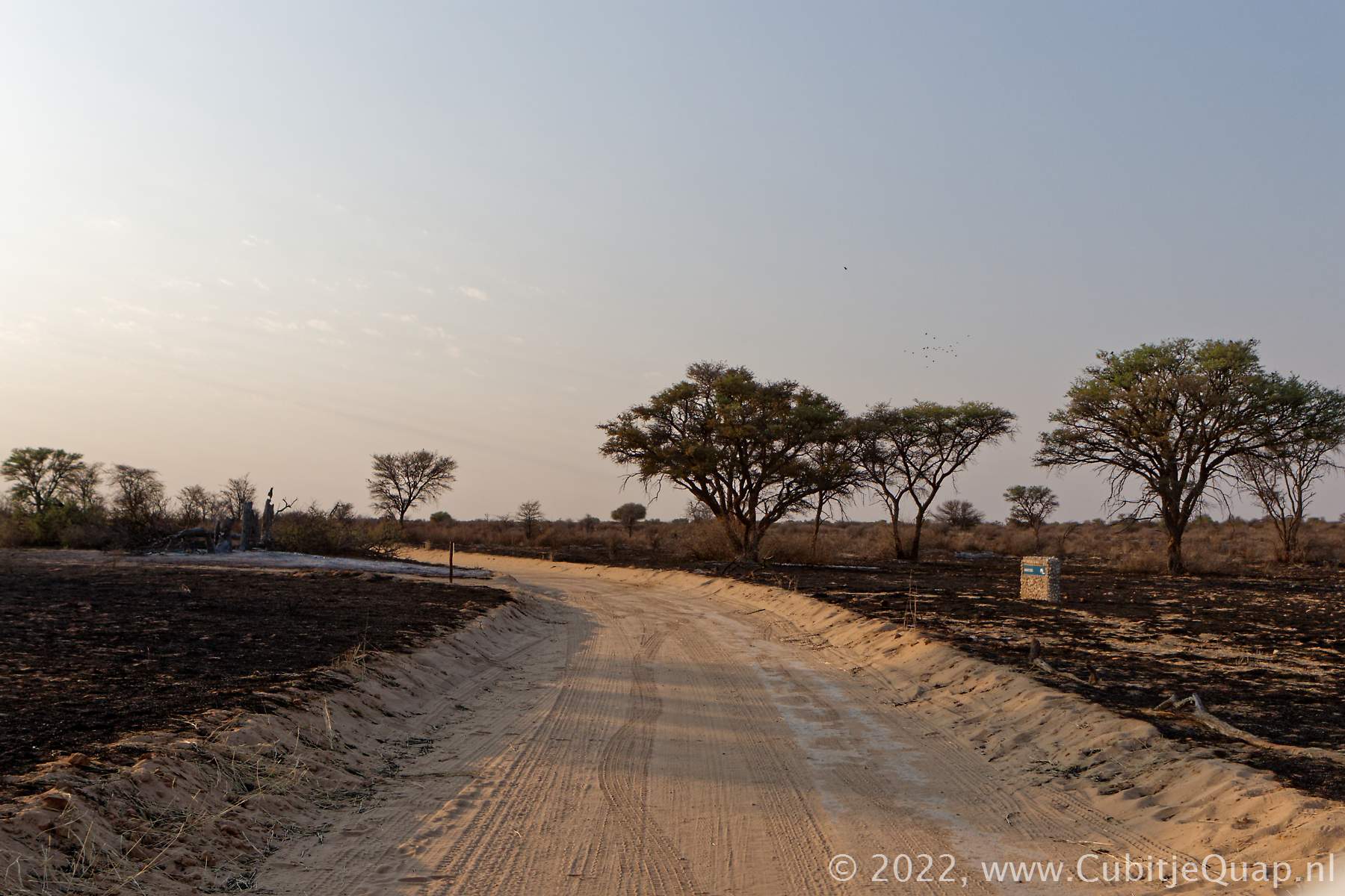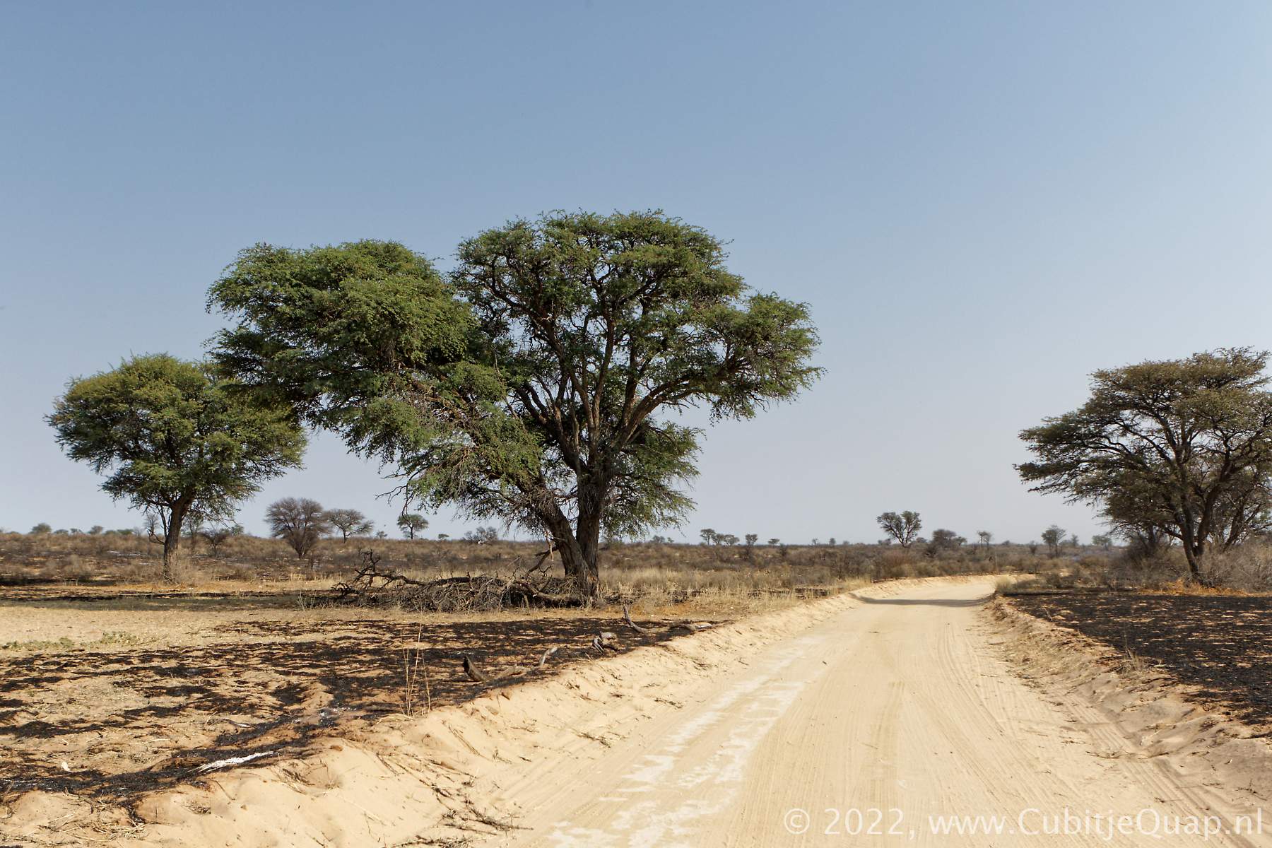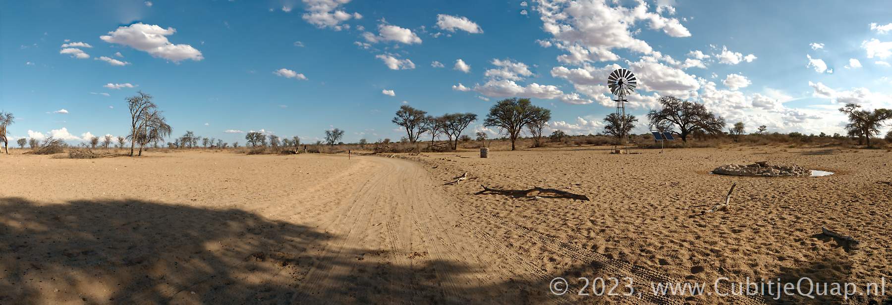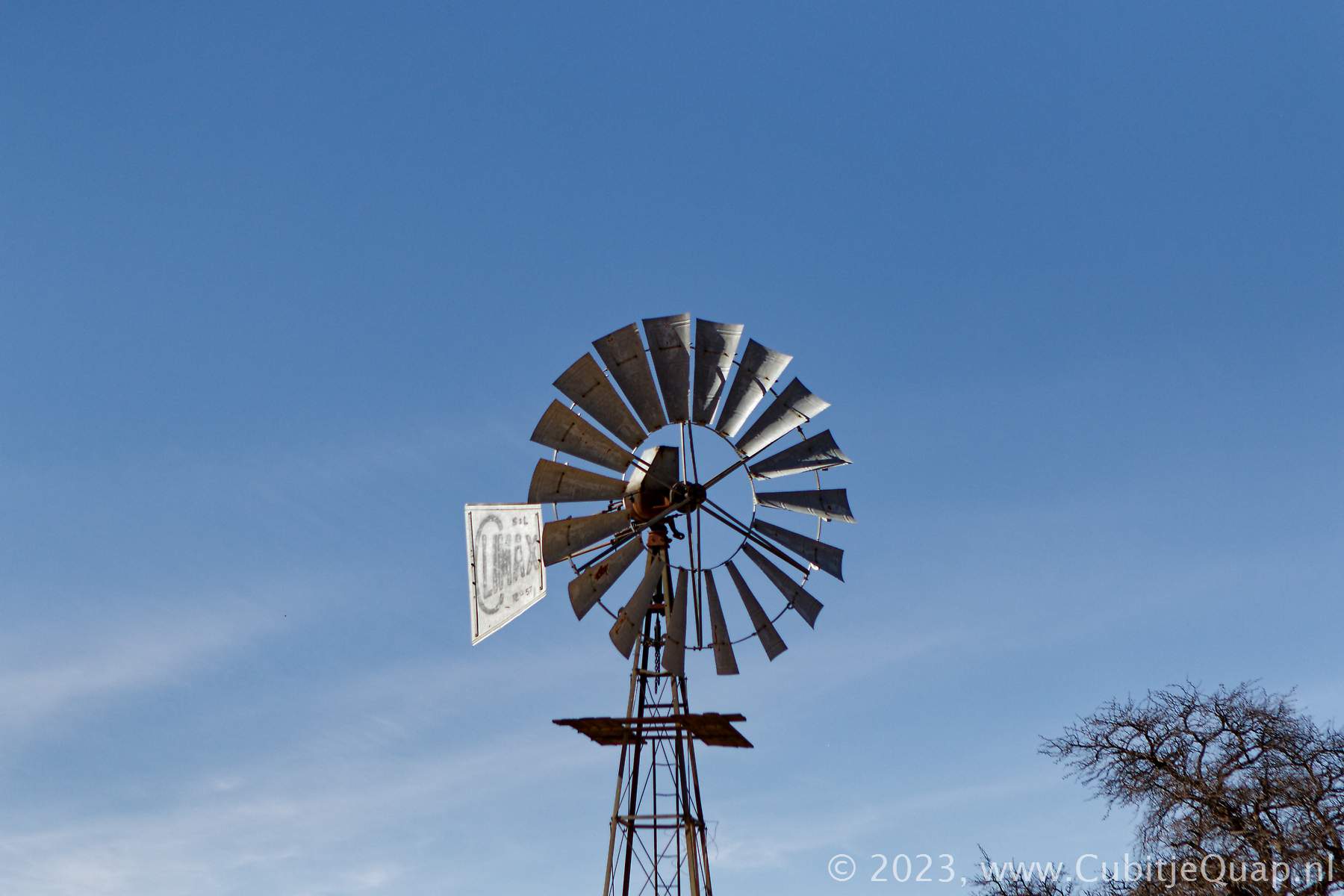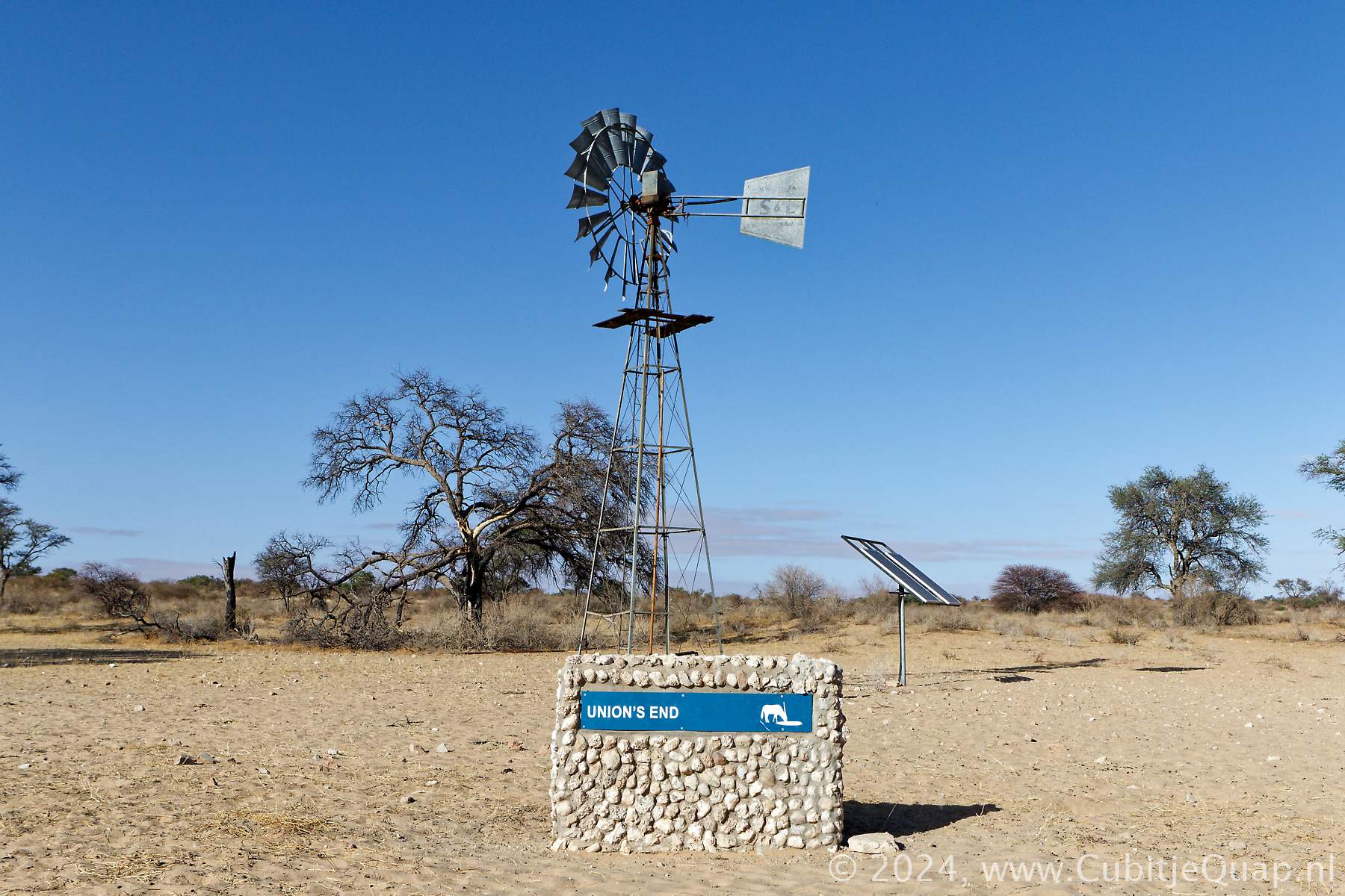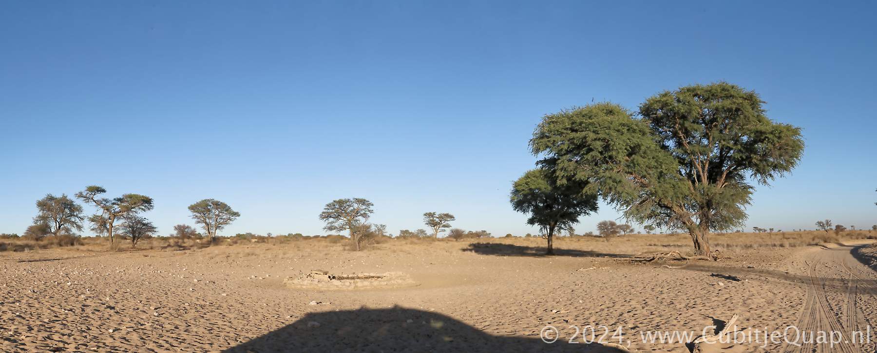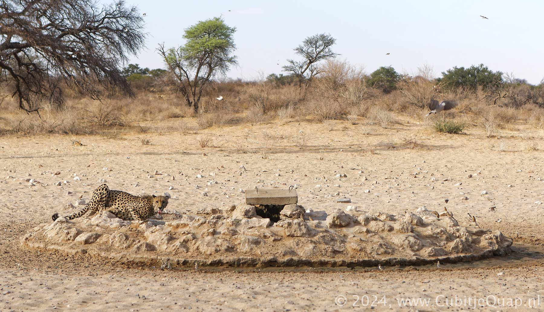
Union's end waterhole
Explanation of name: Afrikaans (Werelds-end, Unie-end) "noordelikste punt van die voormalige Kaapprovinsie-eindpunt van n vaderland". In English: most northern point of the old Cape province.Photography: the waterhole lies to the east of the main route. Lighting is best in the morning hours.
GPS Coordinates: S24 48 12.5 E20 01 34.9 (Google Maps)