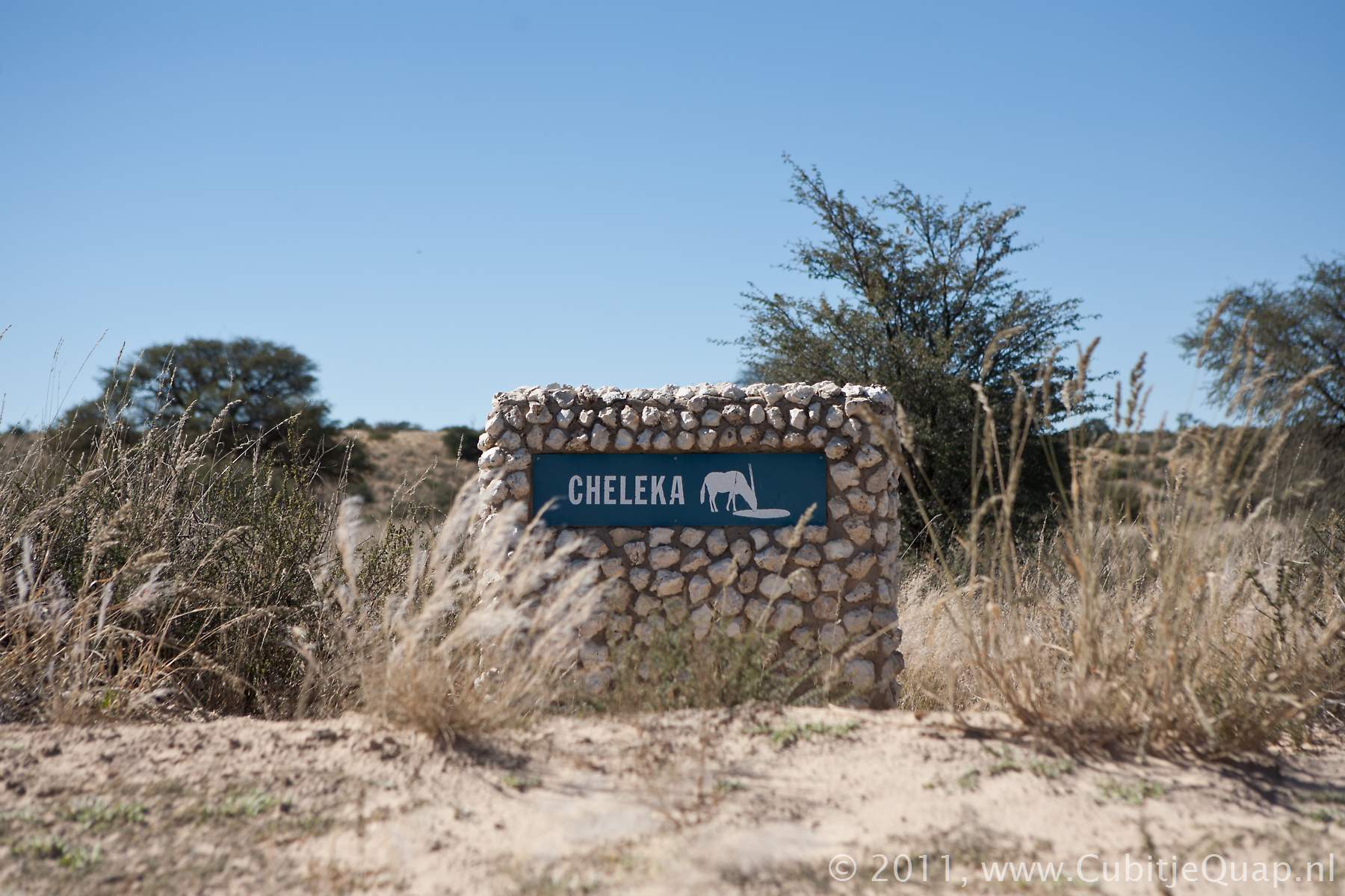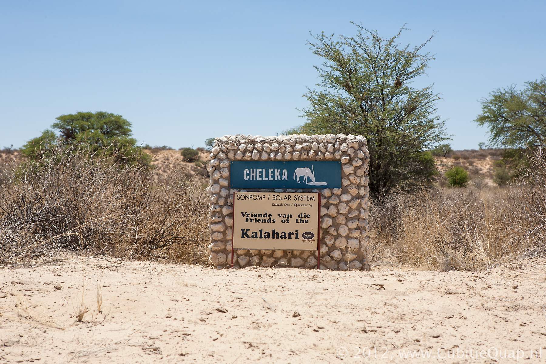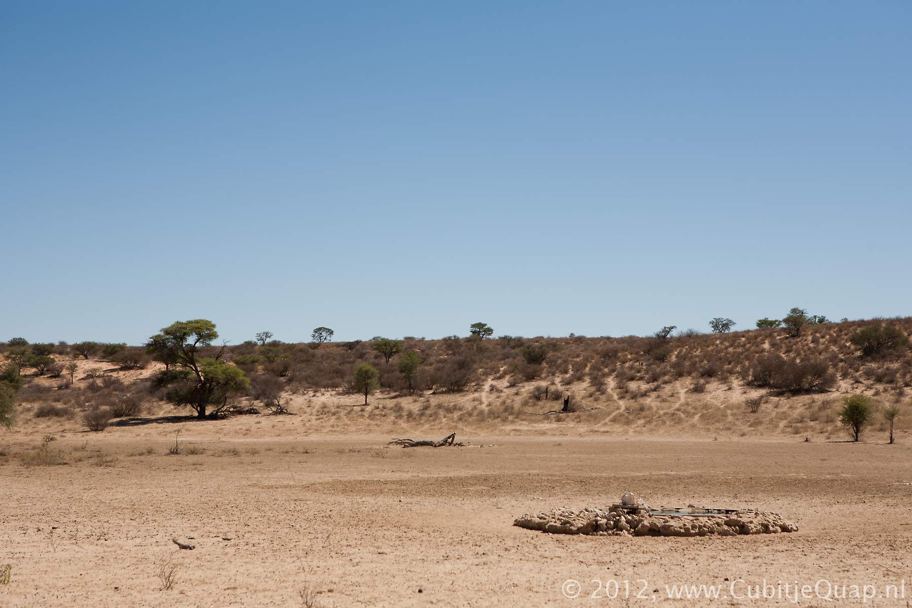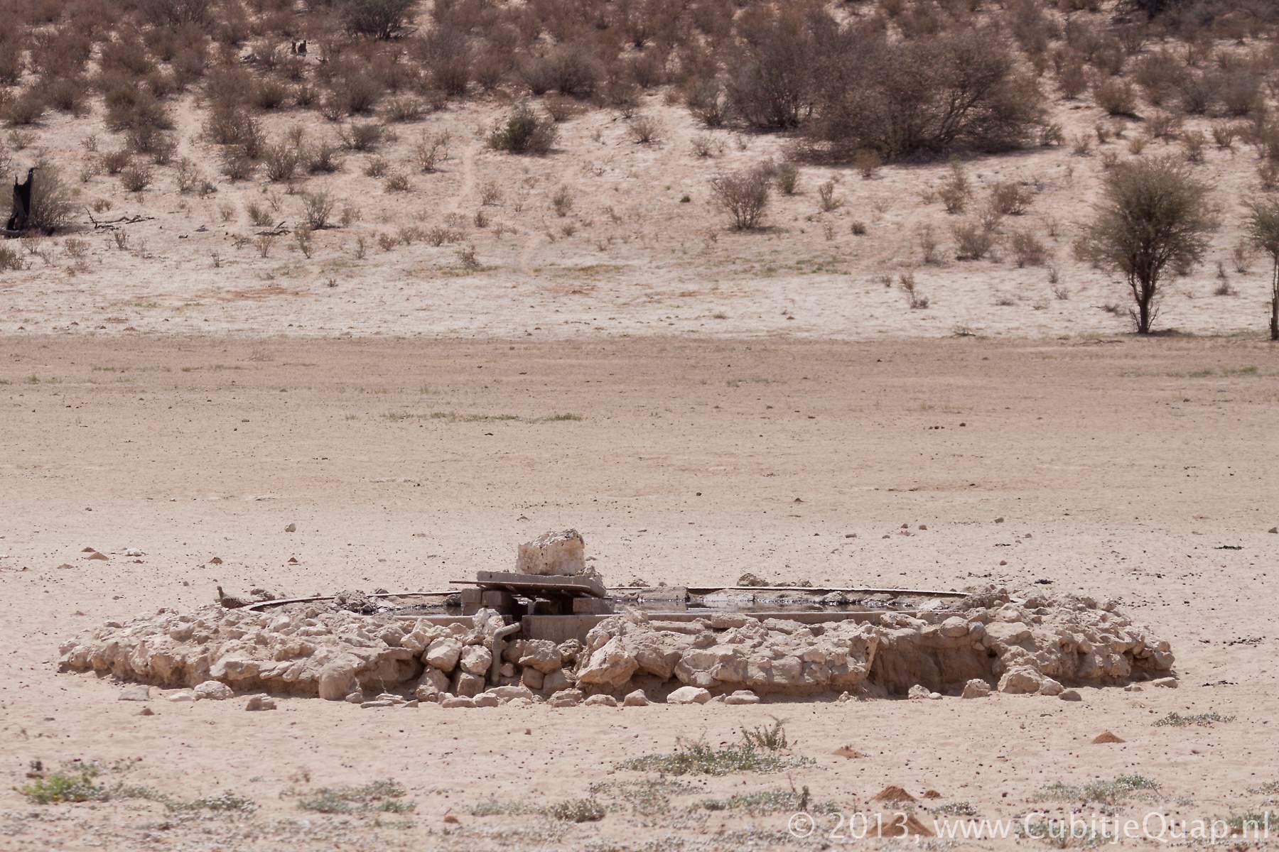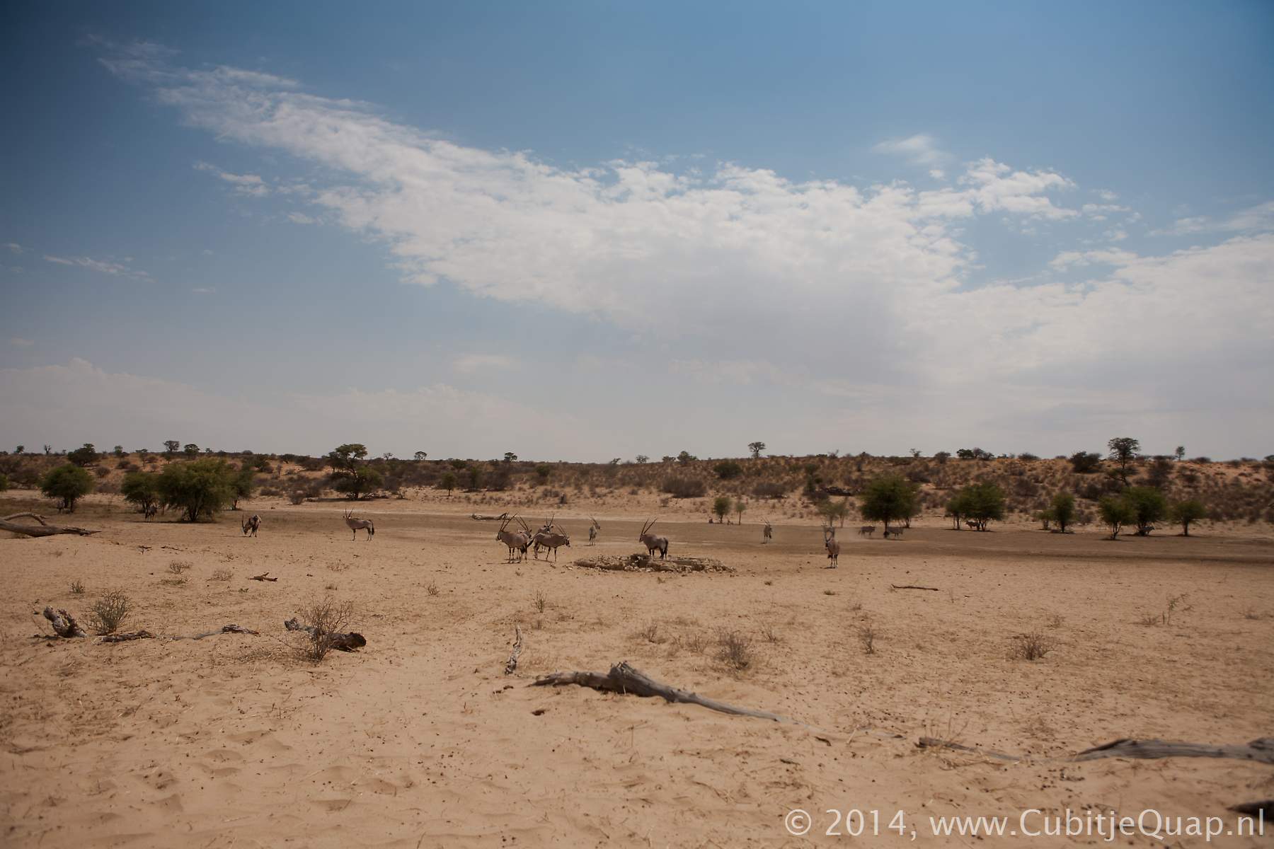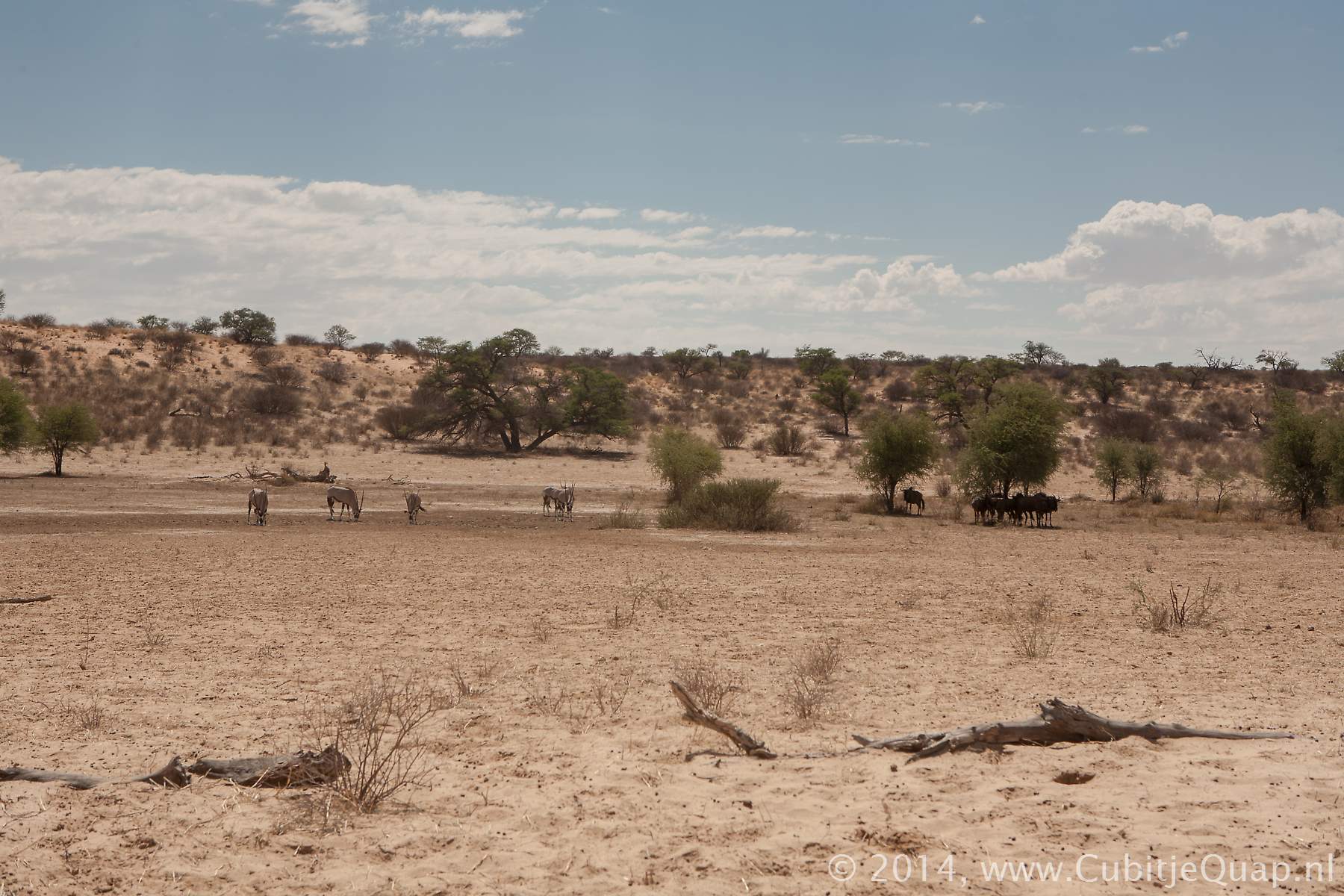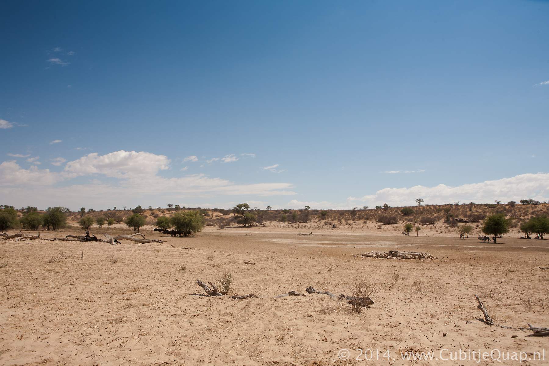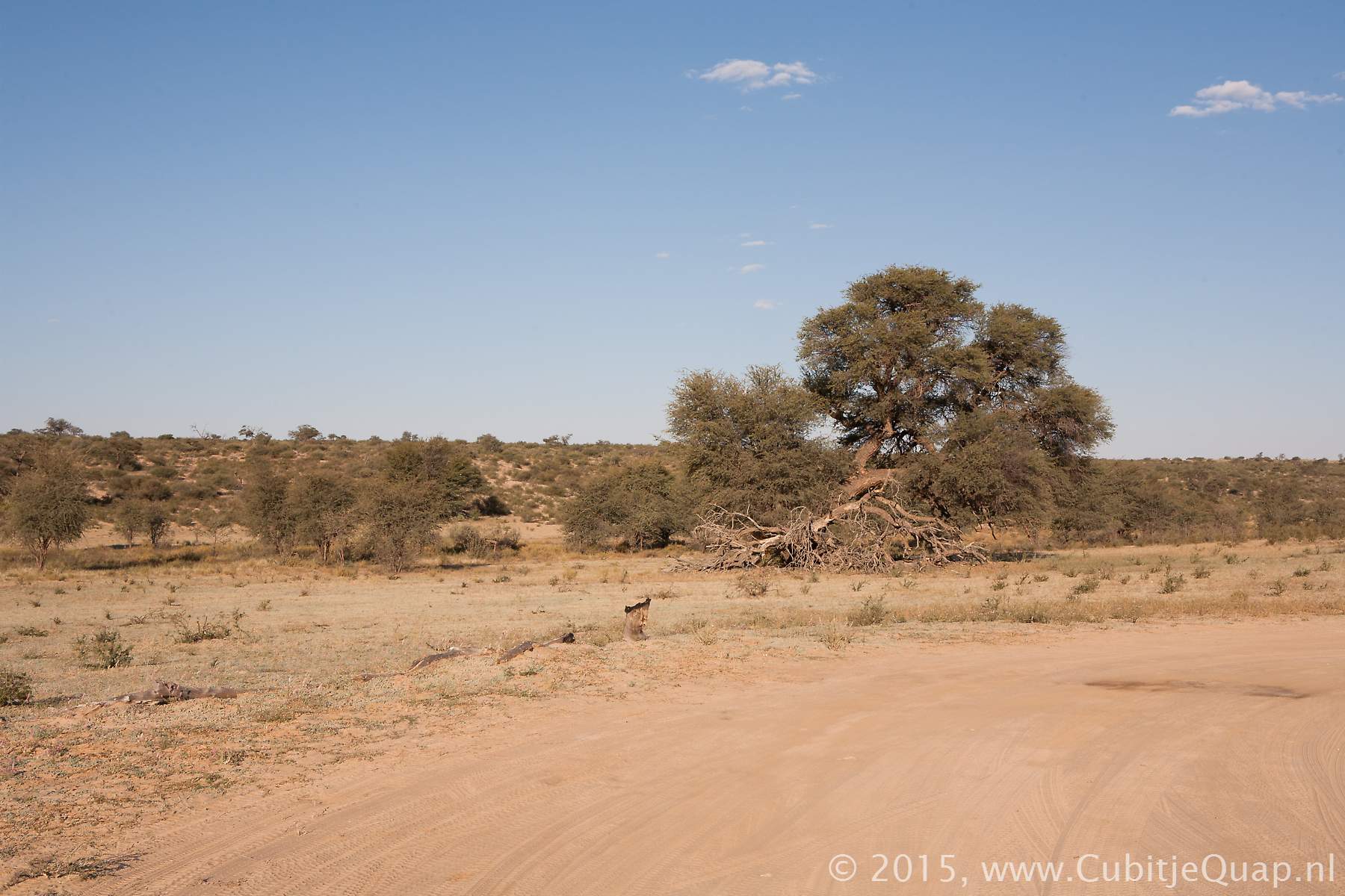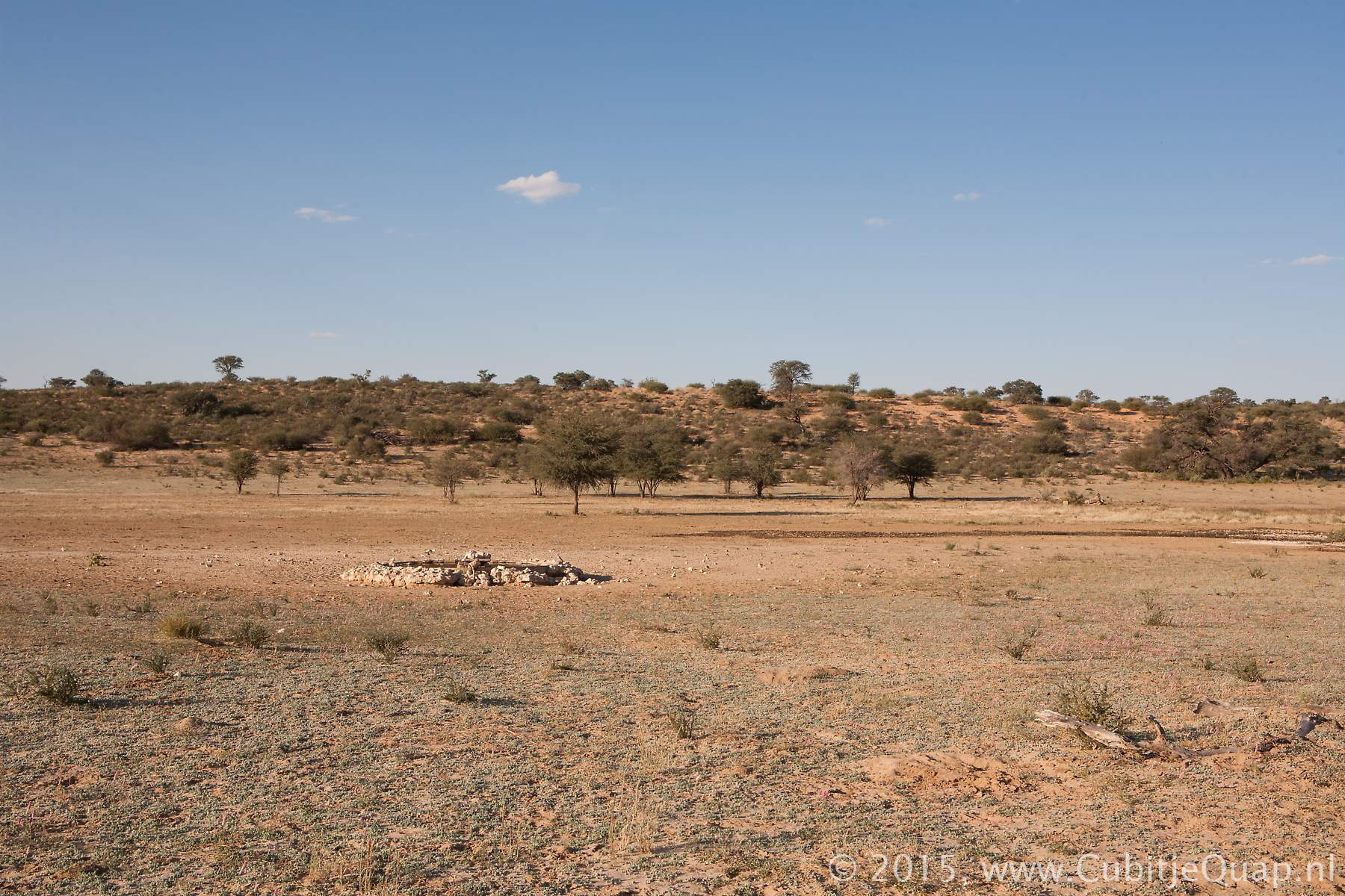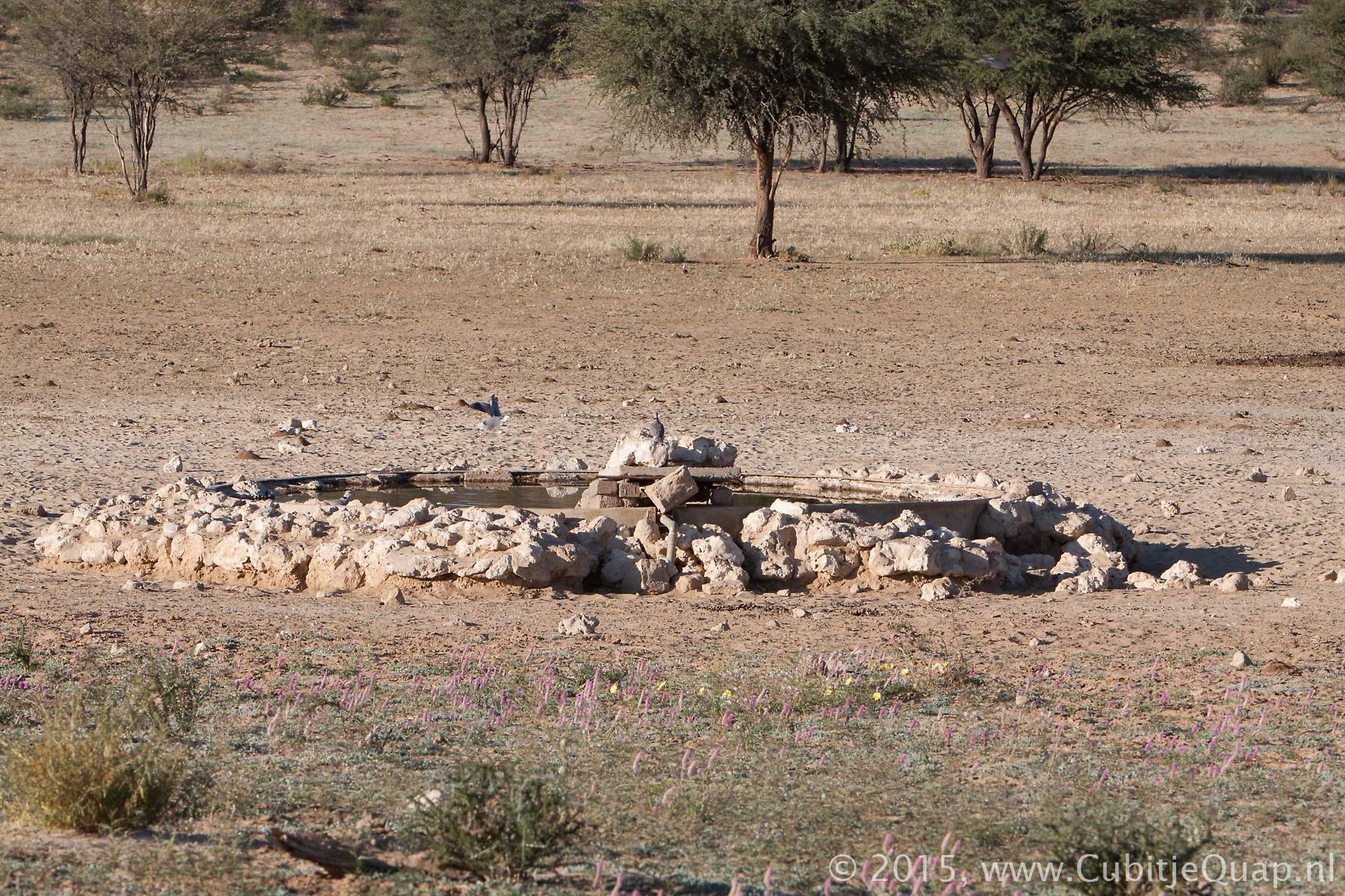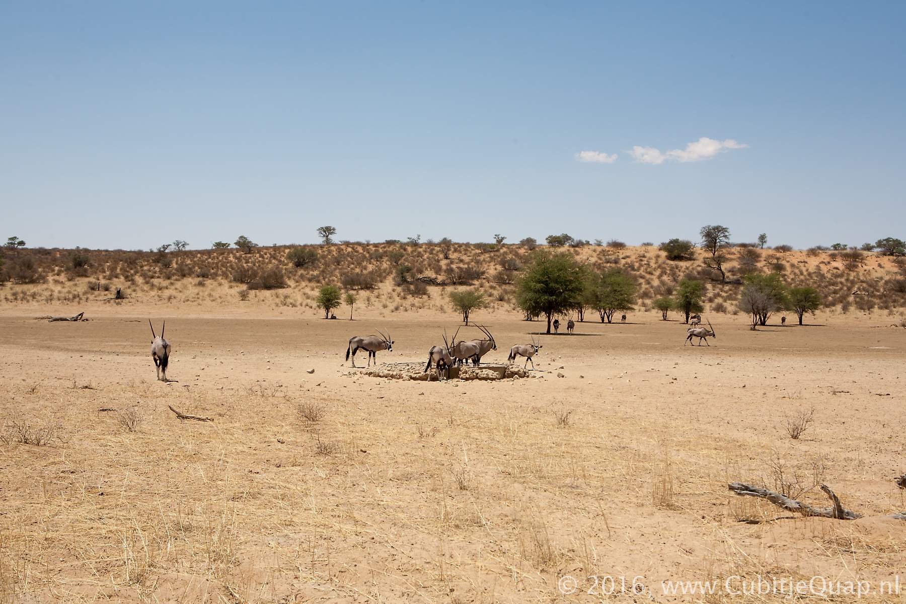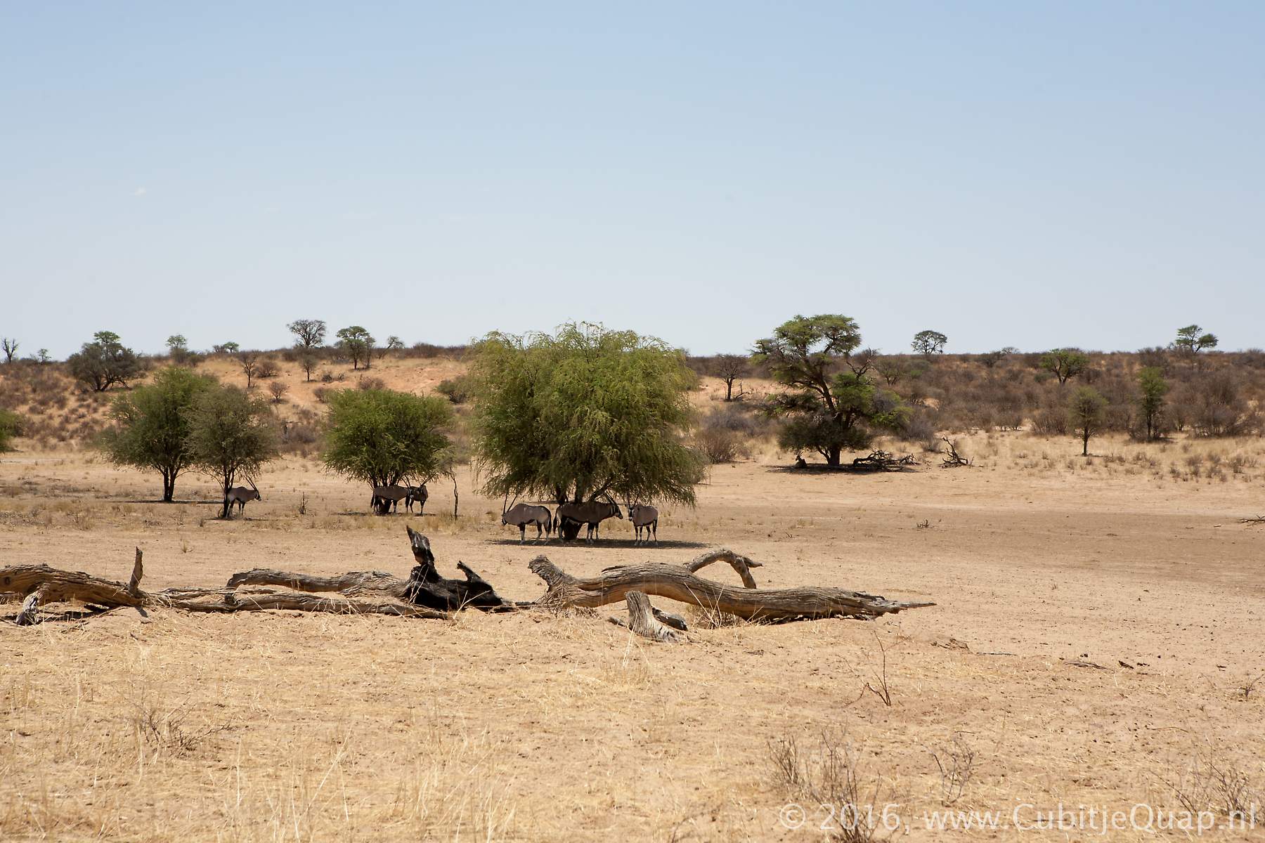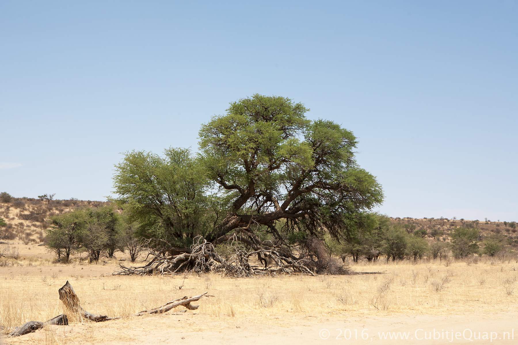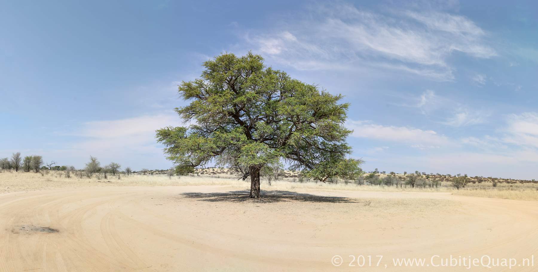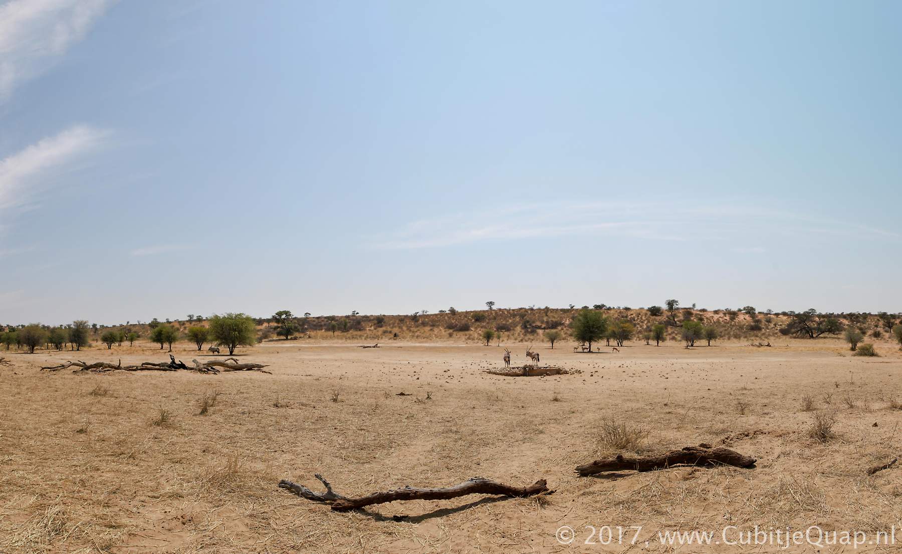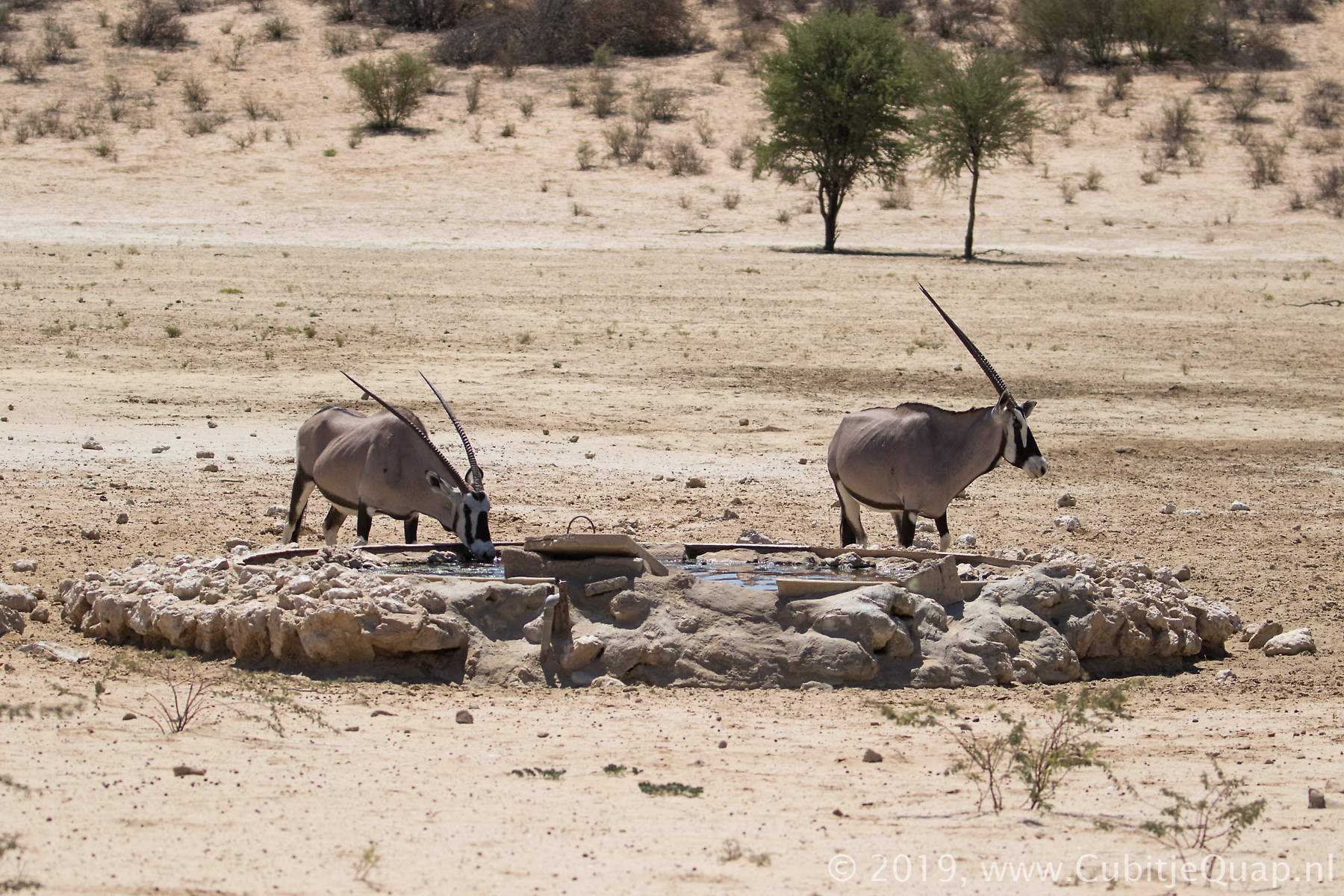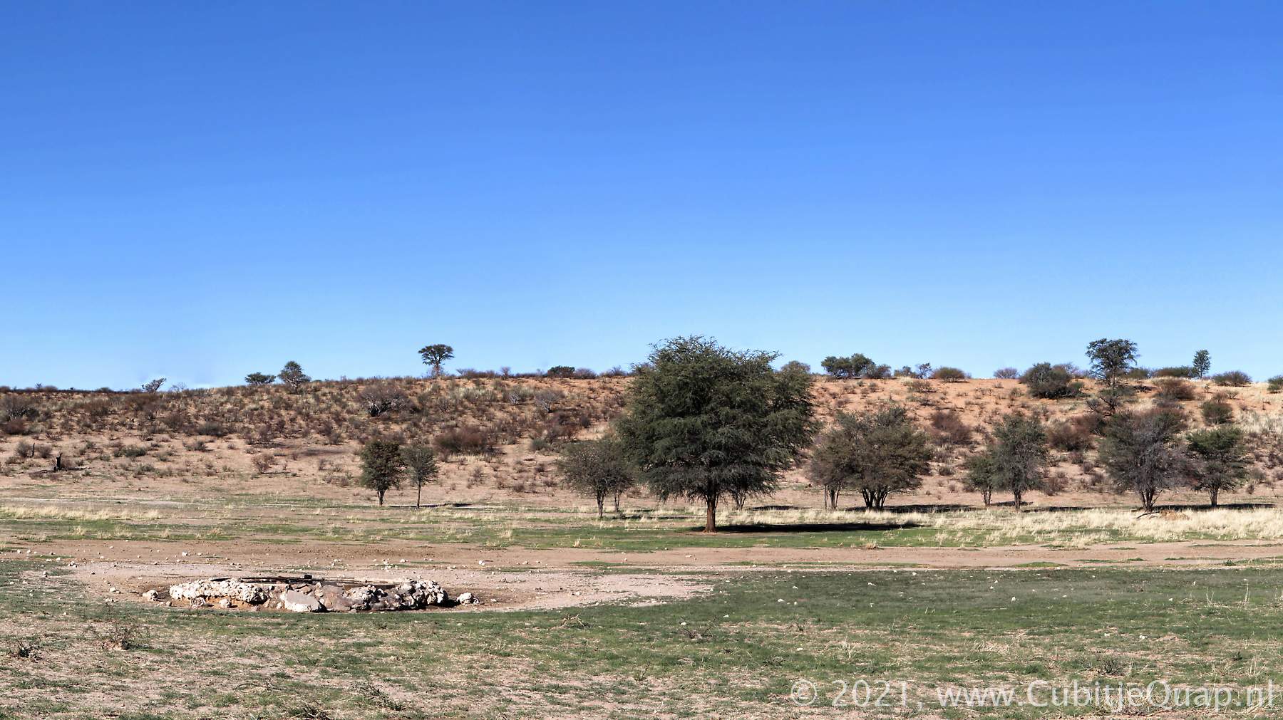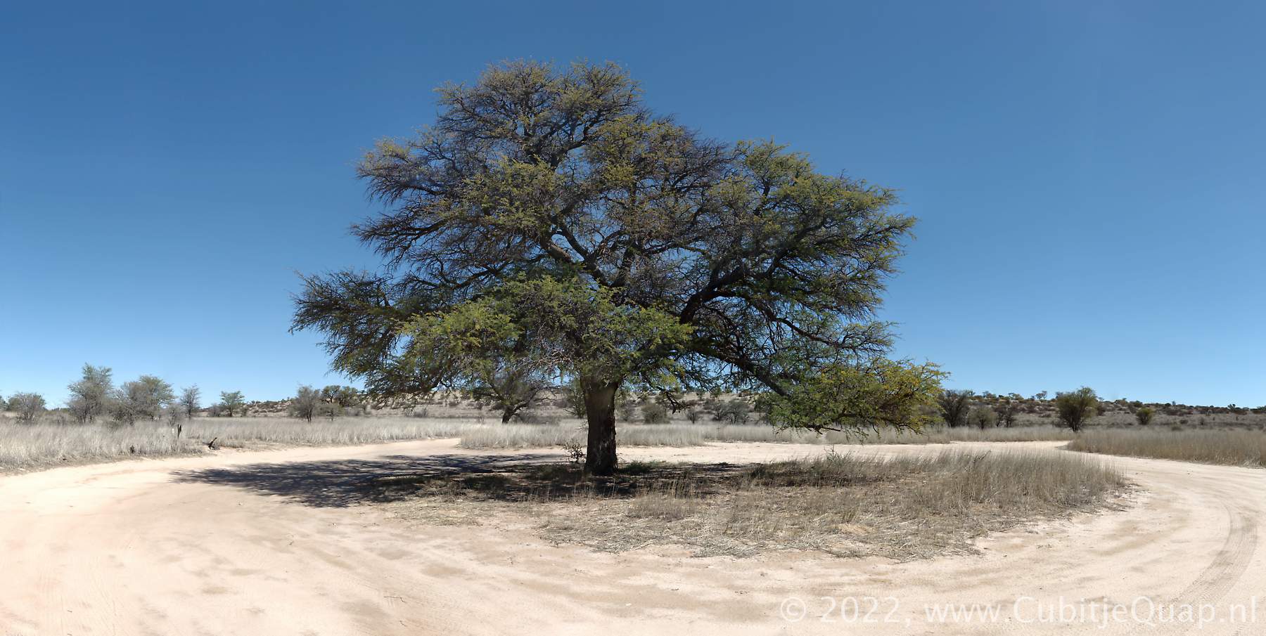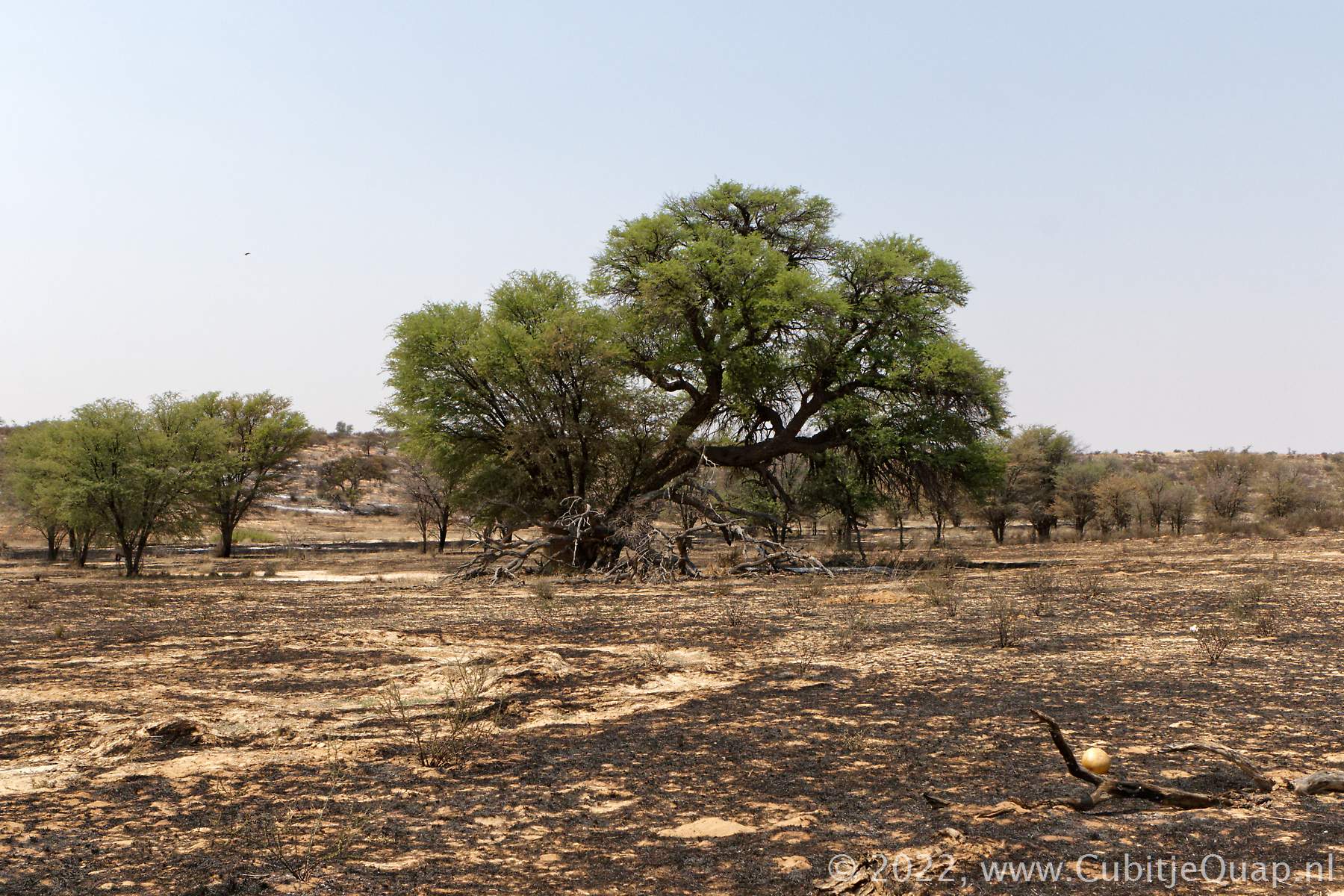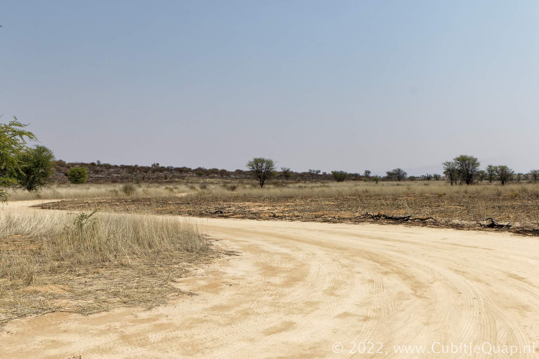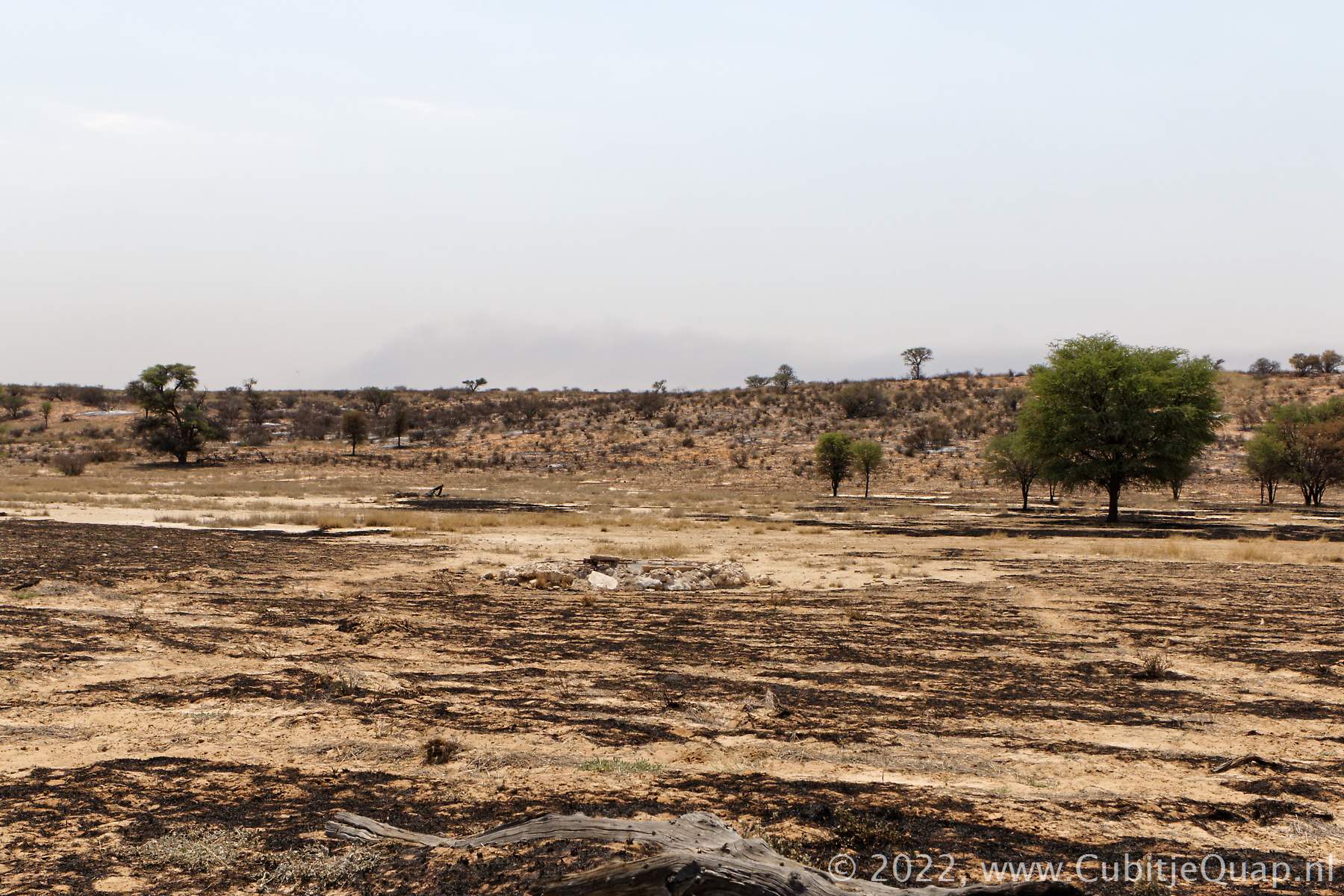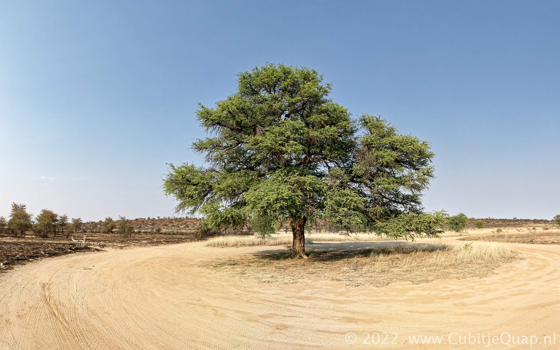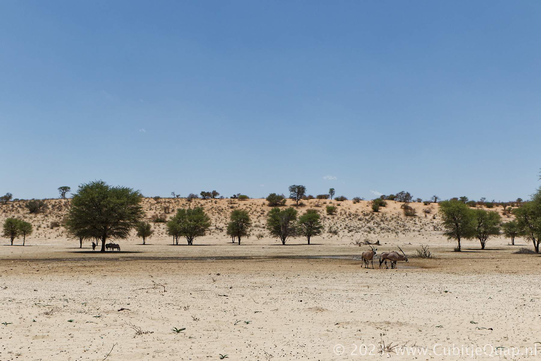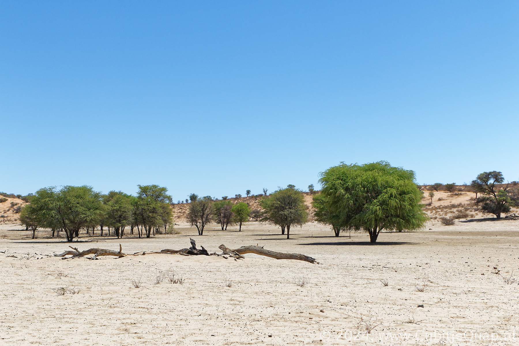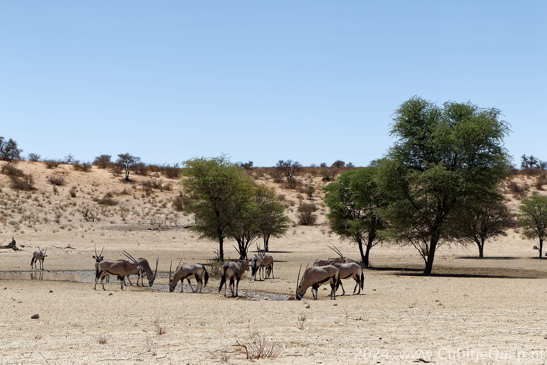
Cheleka waterhole
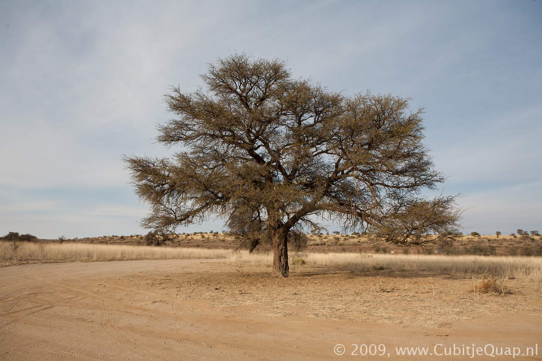
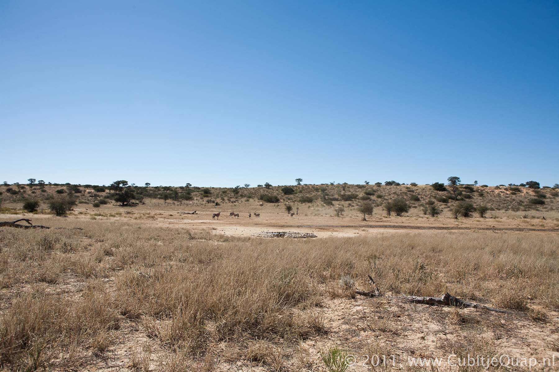
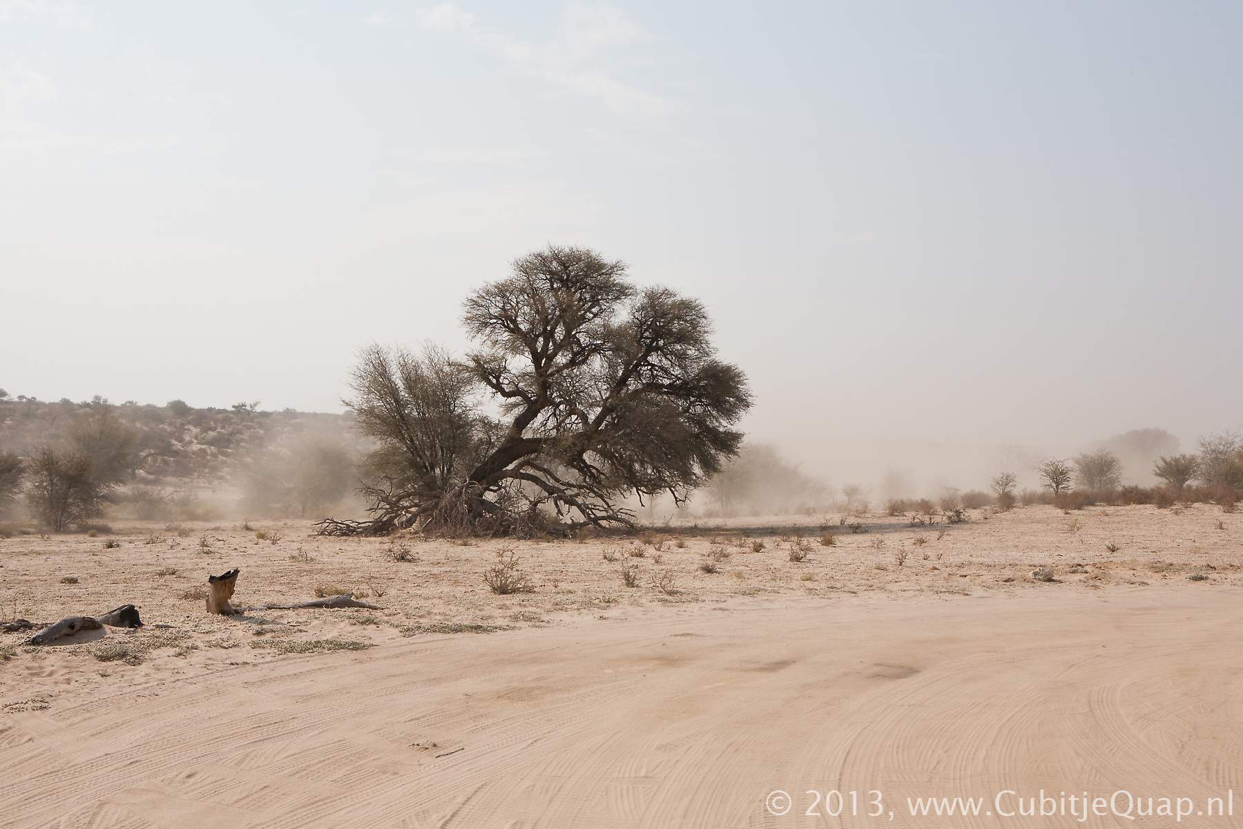
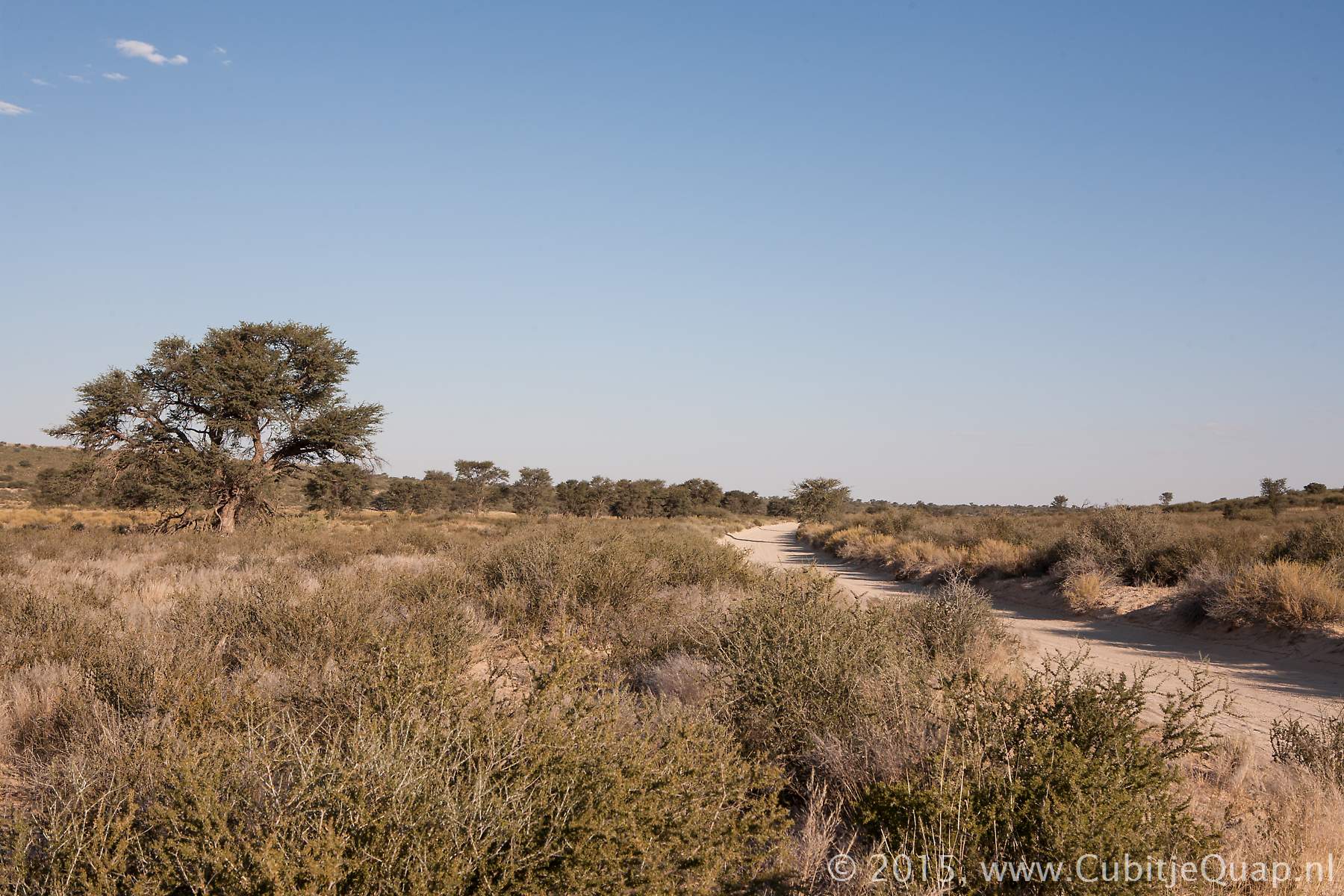
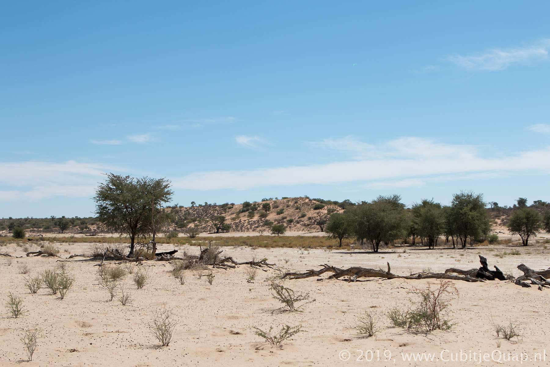
Explanation of name: Unknown.Photography: A loop road with a beautiful camelthorn leads to the waterhole, which can be viewed close by from a variety of angles. The waterhole is slightly to the north of the loop. It can be approached to approximately 30 meters. The best light for photography is in the afternoon and evening.
GPS Coordinates: S25 38 9.26 E20 41 11.46 (Google Maps)