Nxai Pan National Park
Location
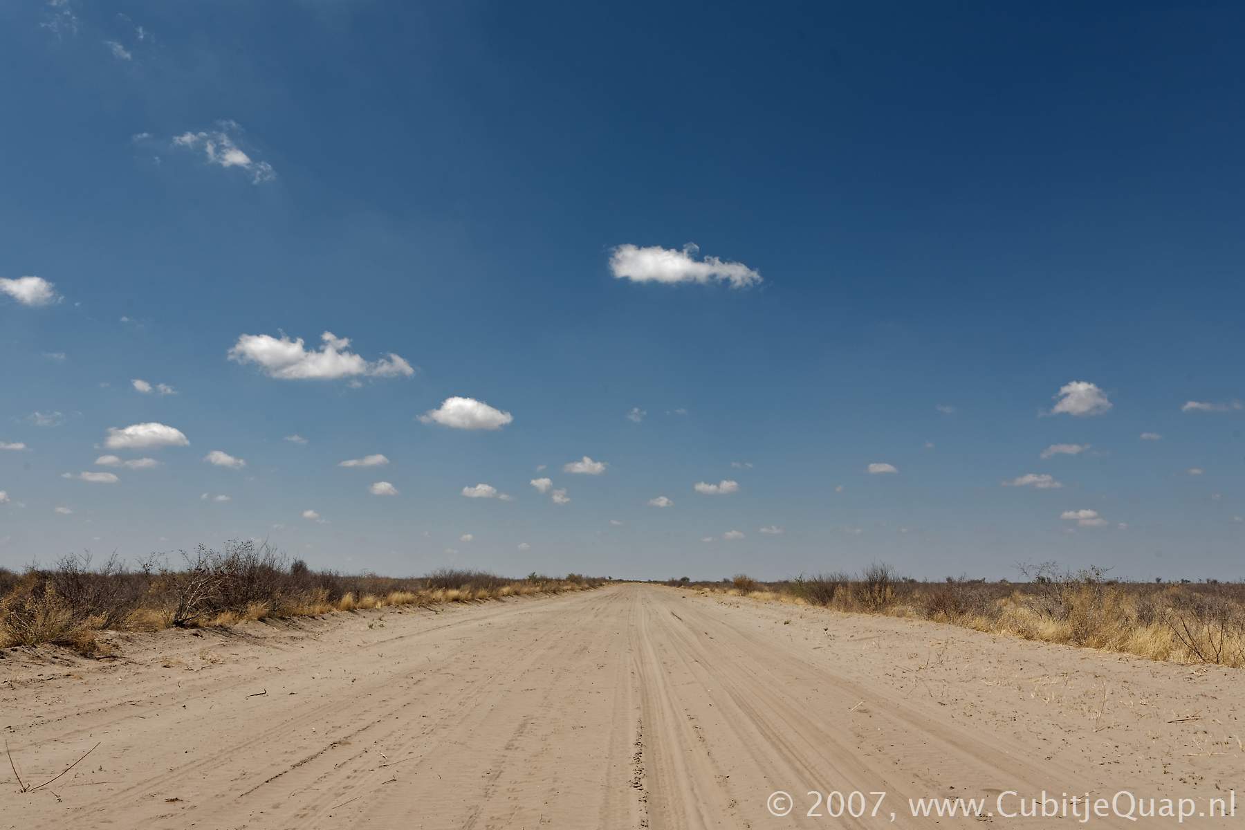
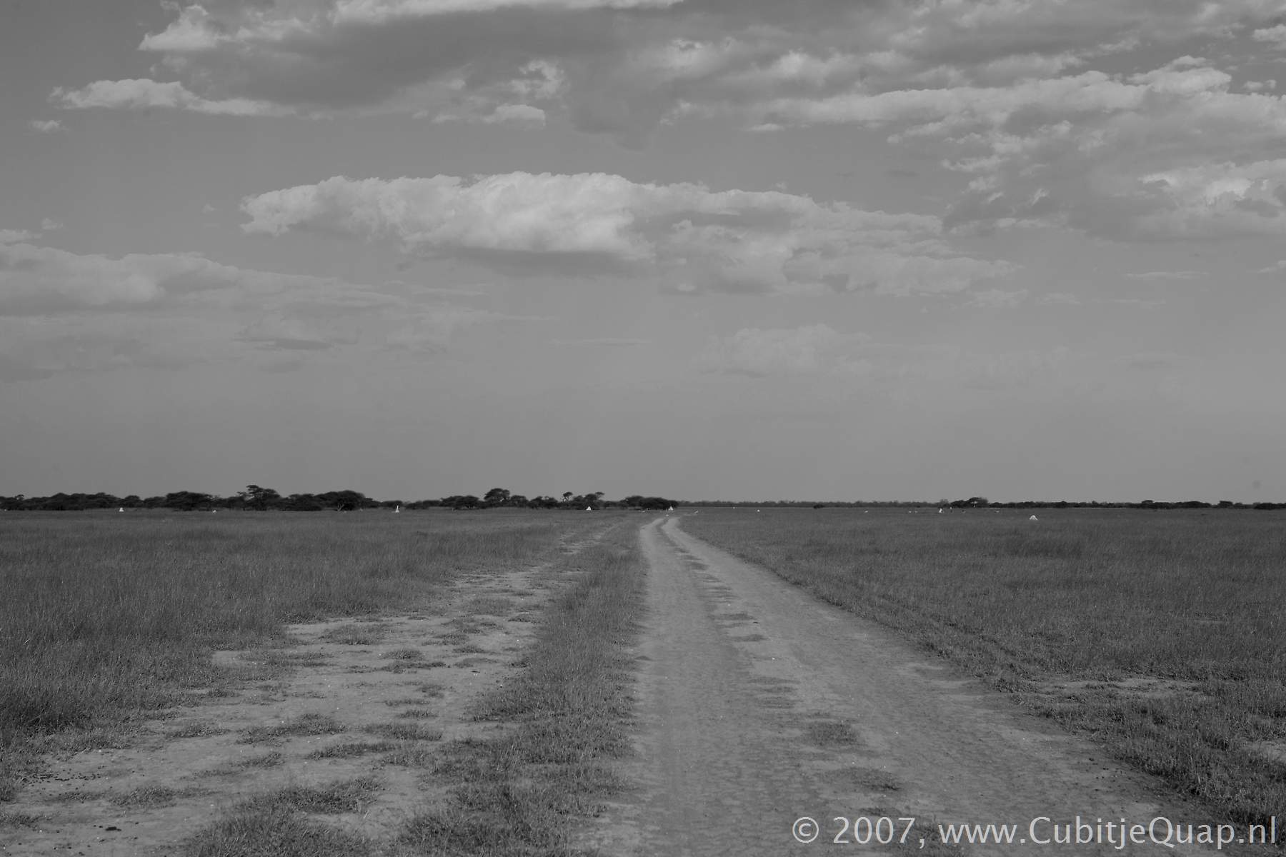
Nxai Pan National Park is situated north of the main Nata – Maun road, the turn-off being 138 km from Maun.History
When Nxai Pan was first proclaimed a conservation area in the 1970s, it comprised only 1676 km². In 1992 it was declared a national park and enlanrged to include Baines's Baobabs. Today it comprises an area of 2578 km²The park's name should be pronounced with a click (x) in Nxai, which sounds like a hard 't'. The most common pronounciation is 'nigh' (like in 'high'). Some claim that the word Nxai refers to a hooked metal rod used to remove springhares from their holes. Others say the name simply means a 'pan'.
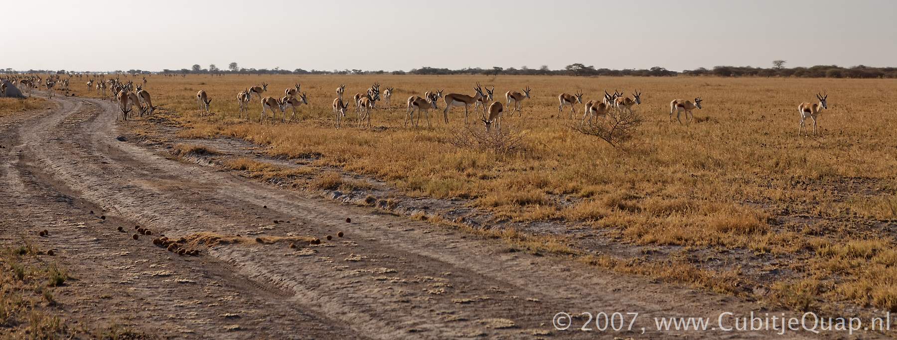
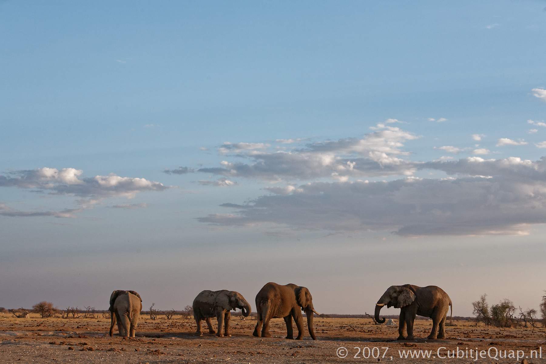
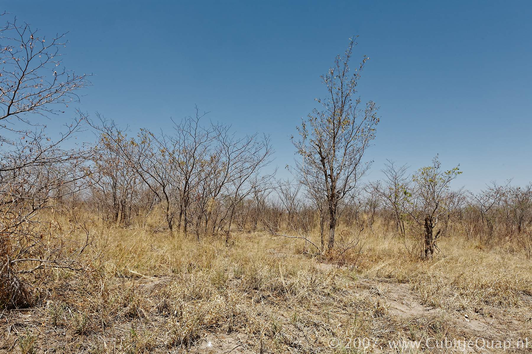
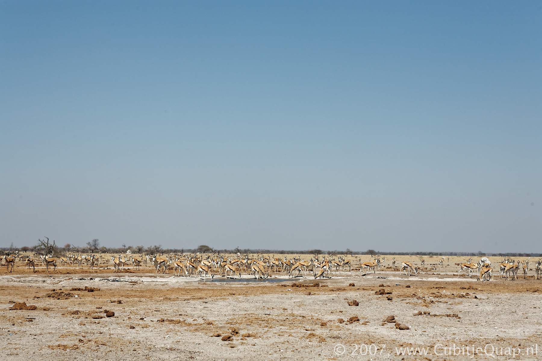
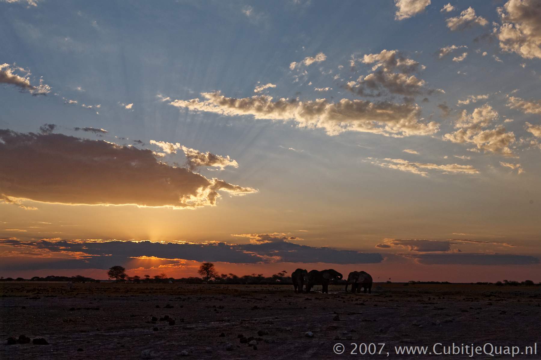
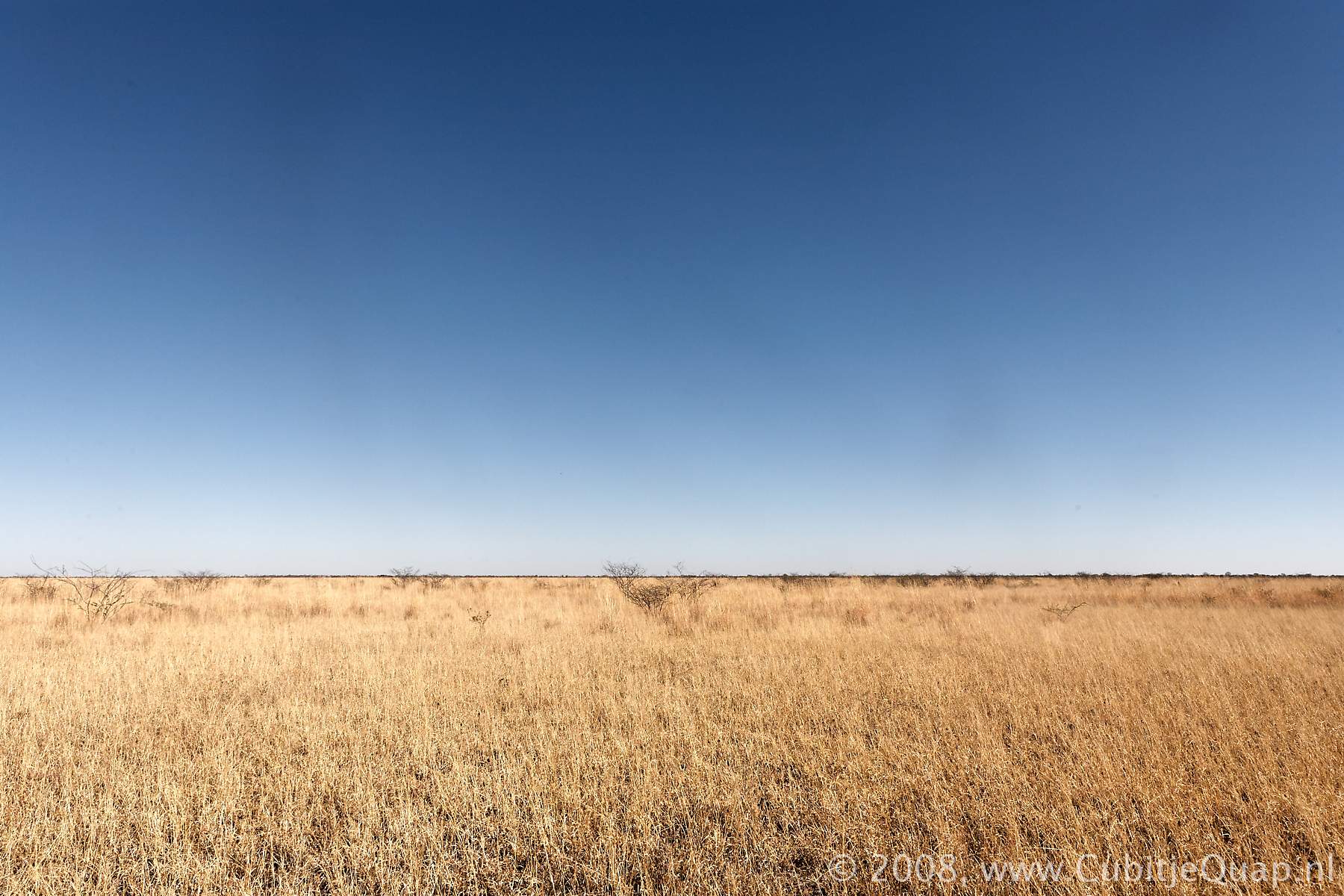
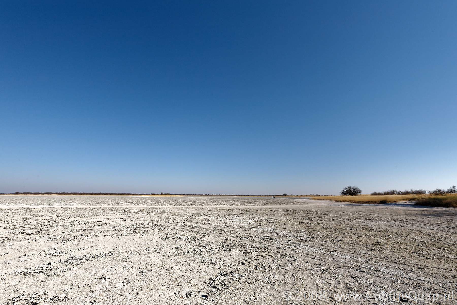
Natural environment
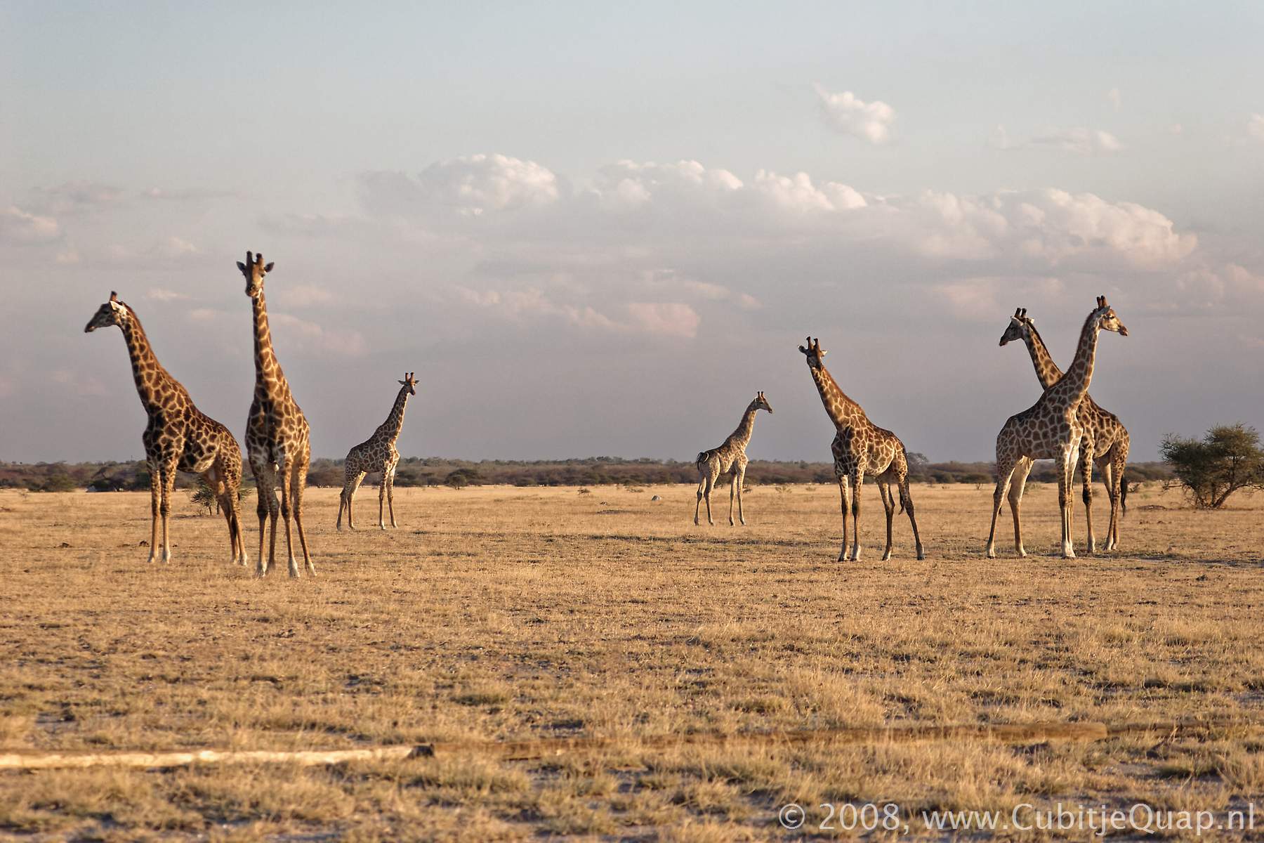
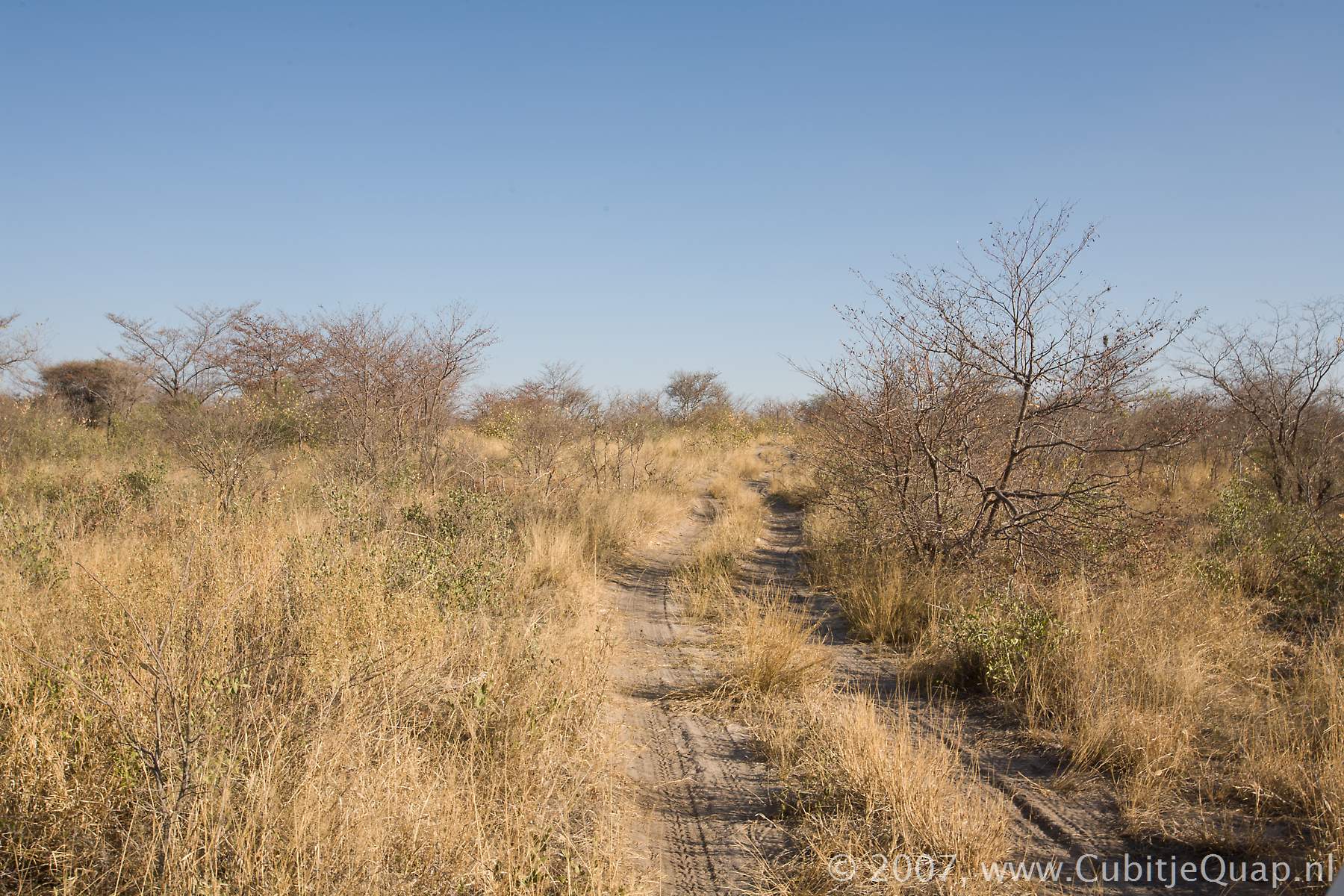
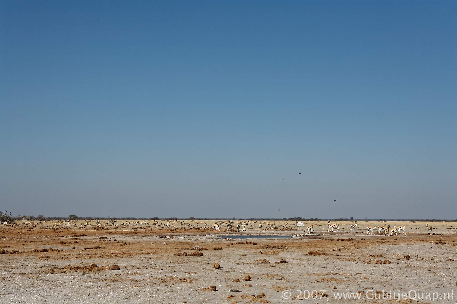
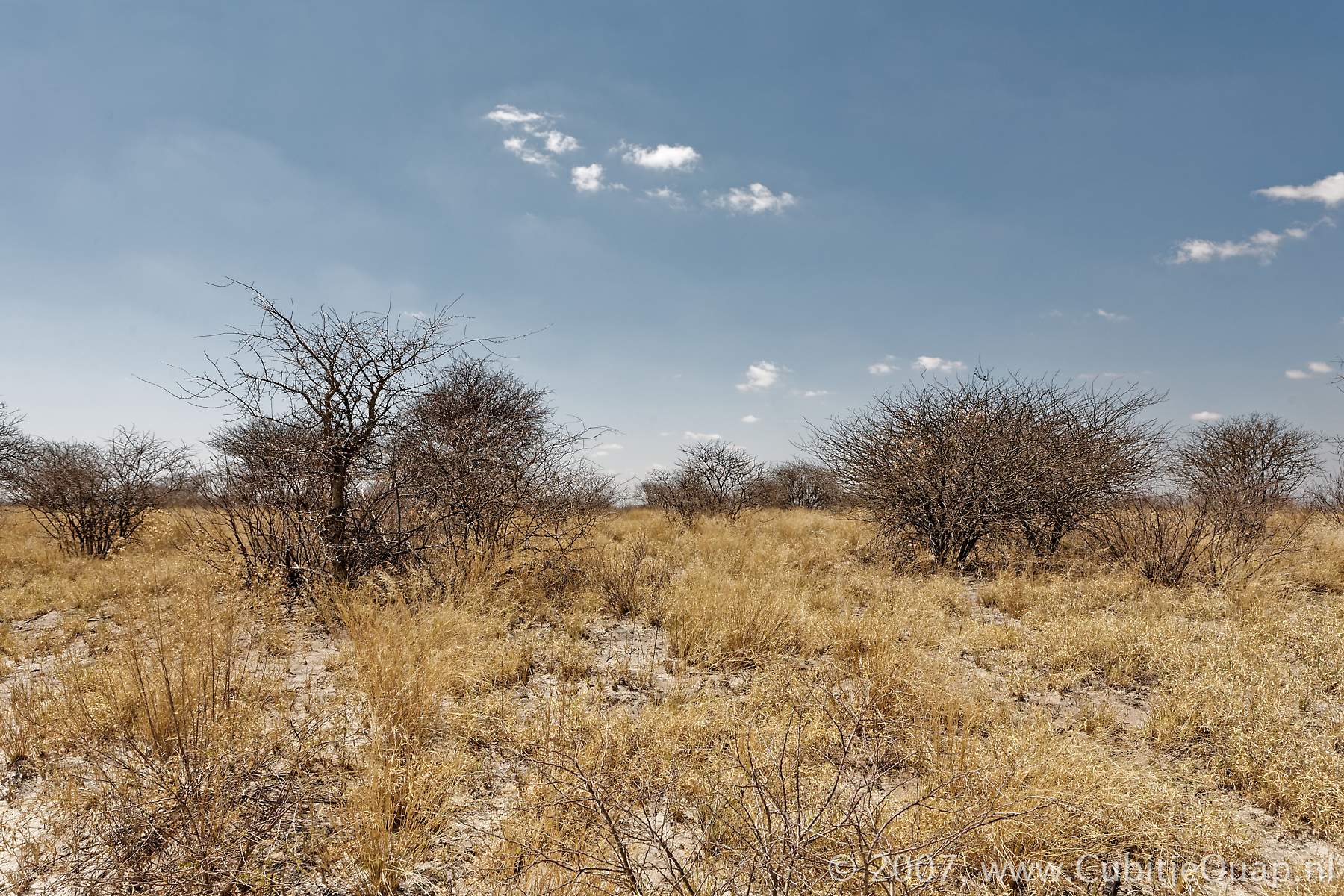
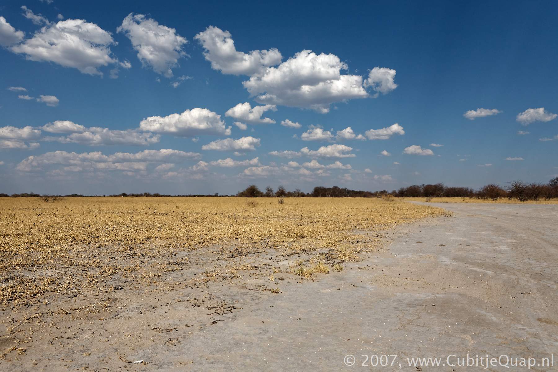
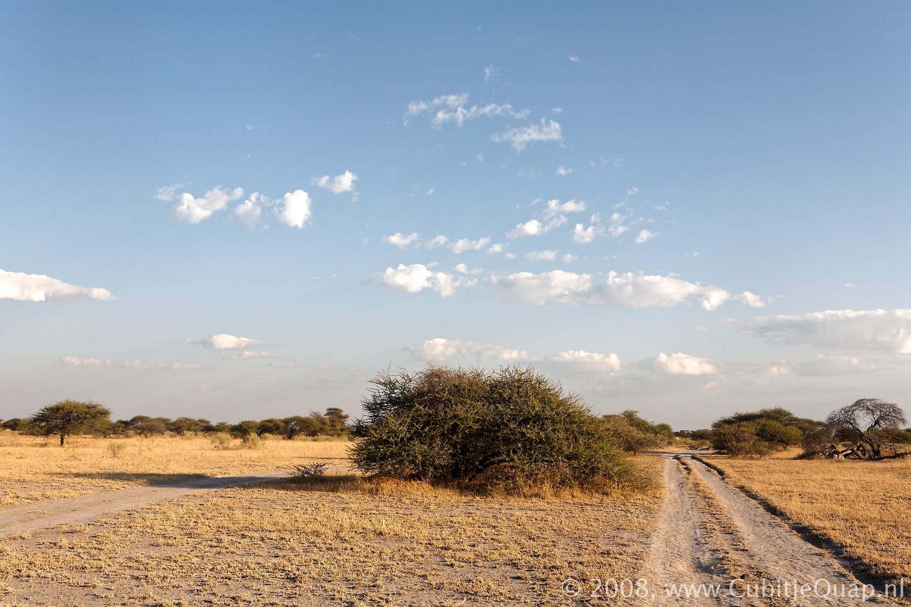
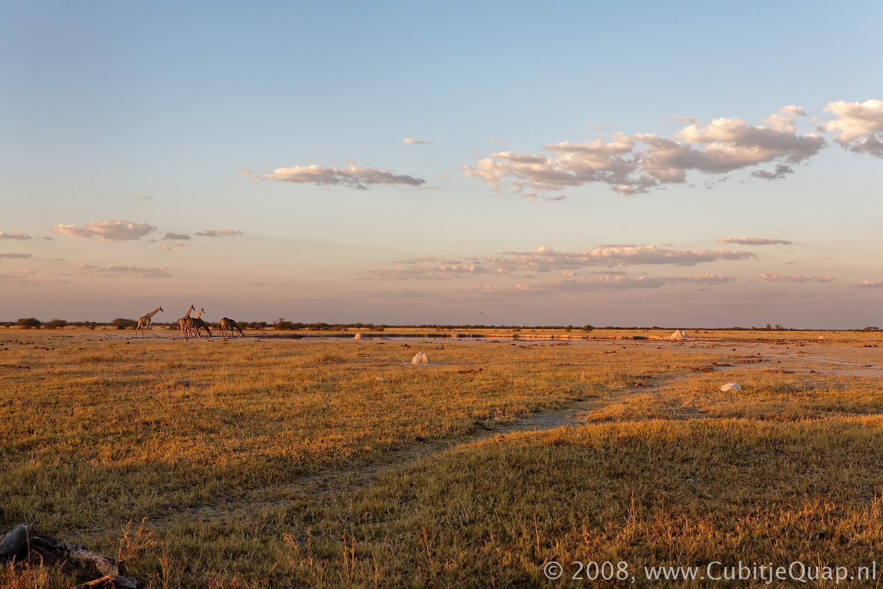
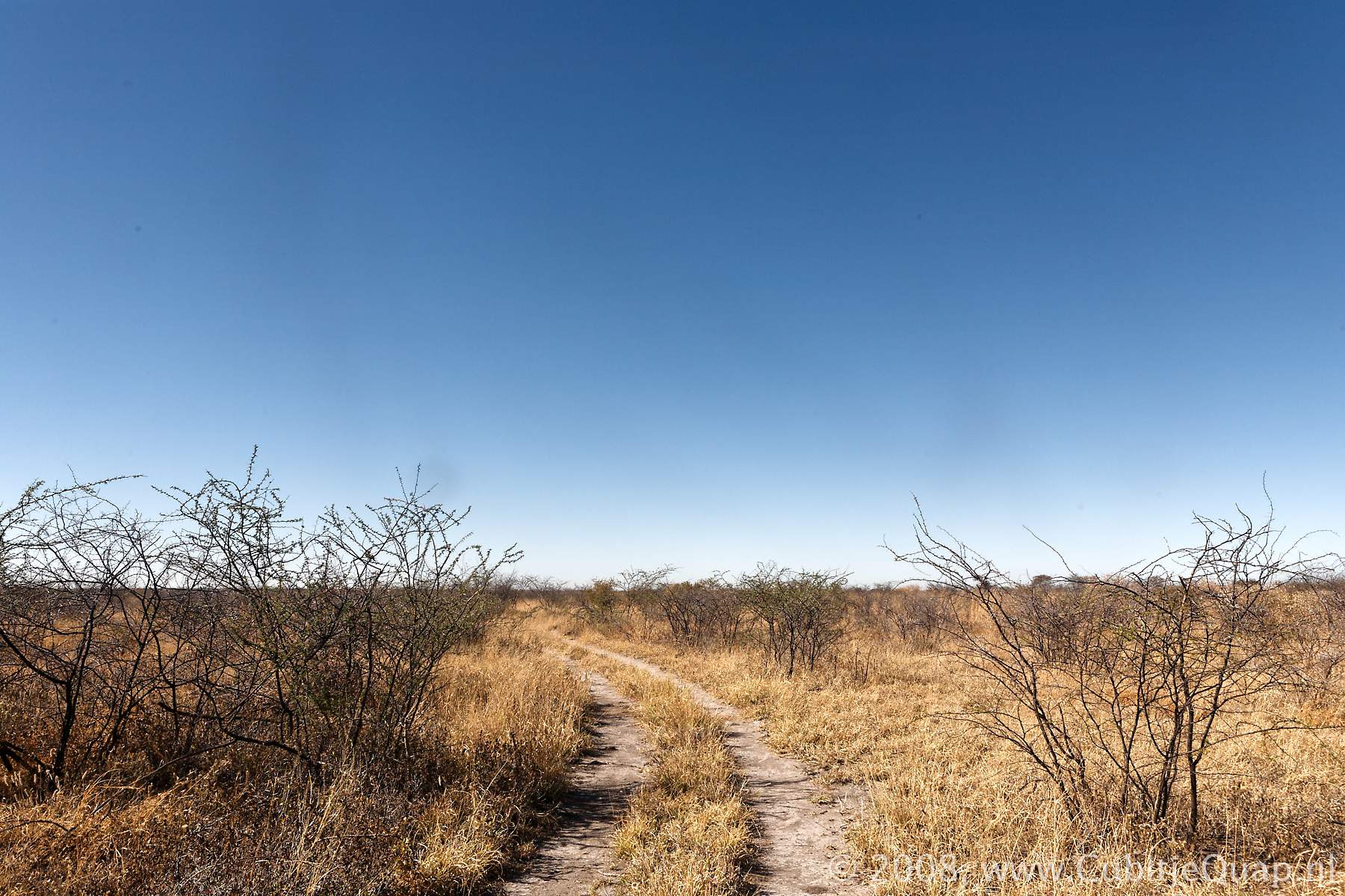
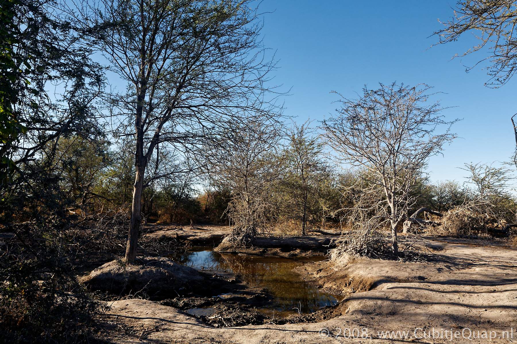
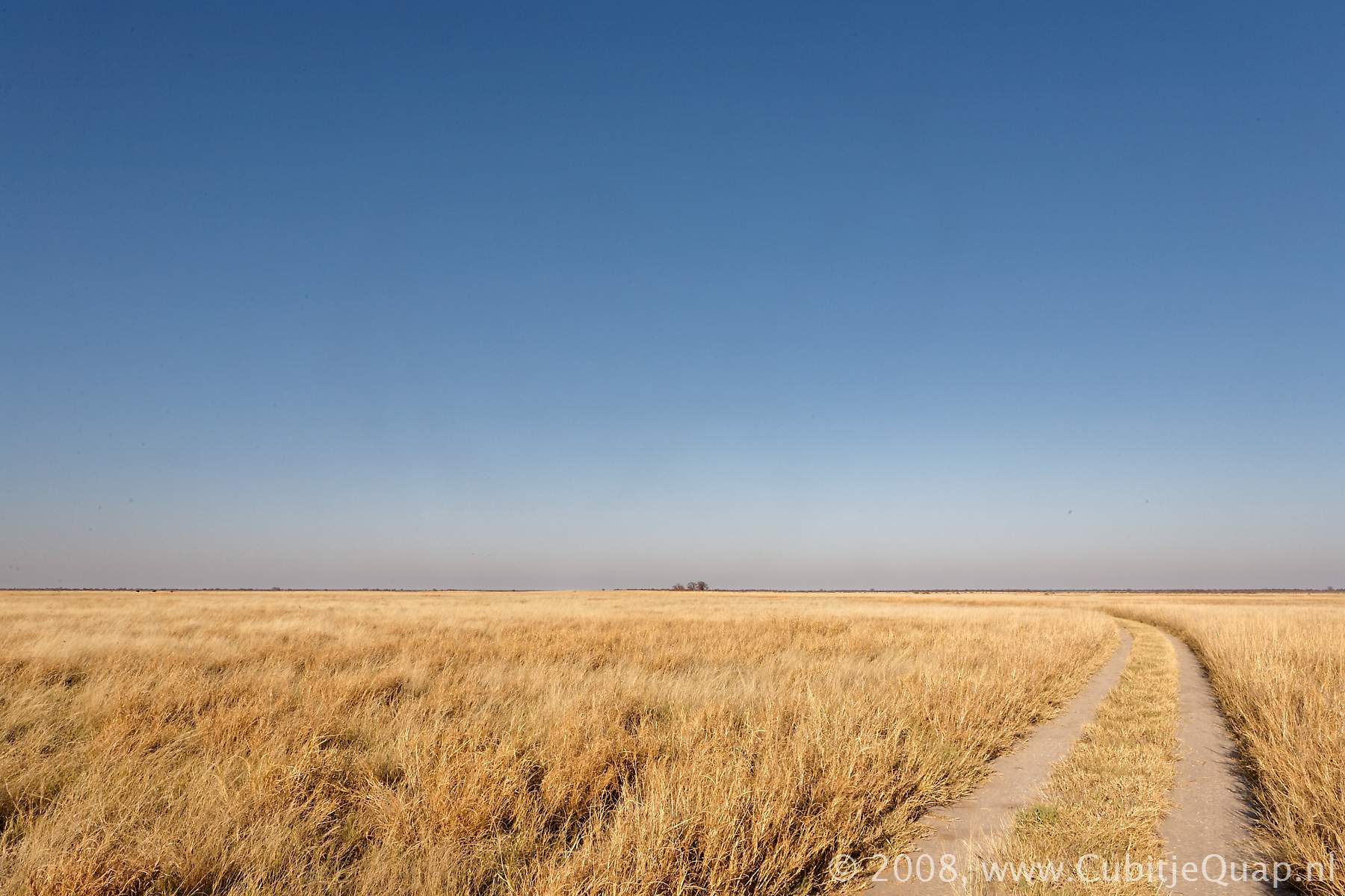
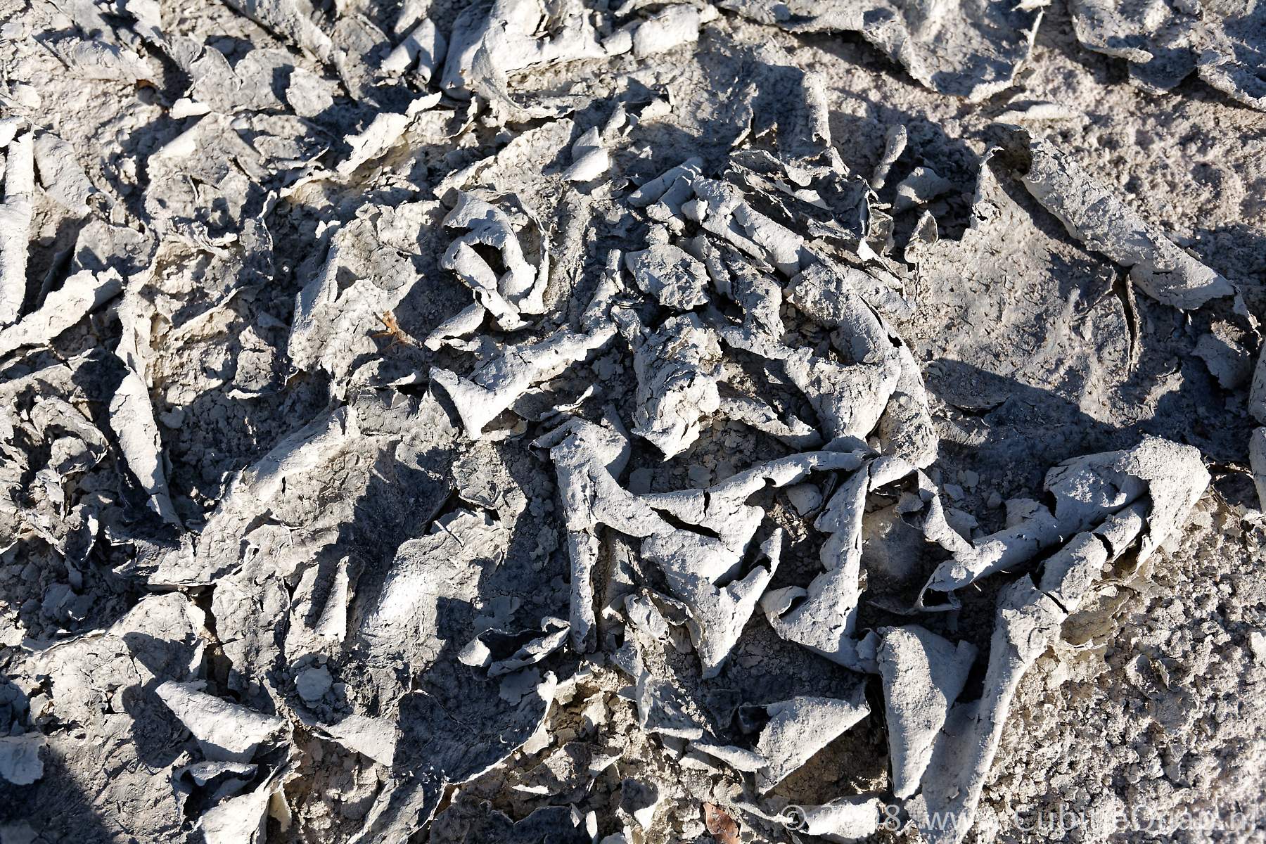
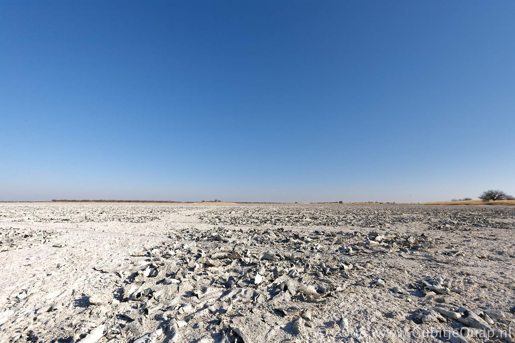
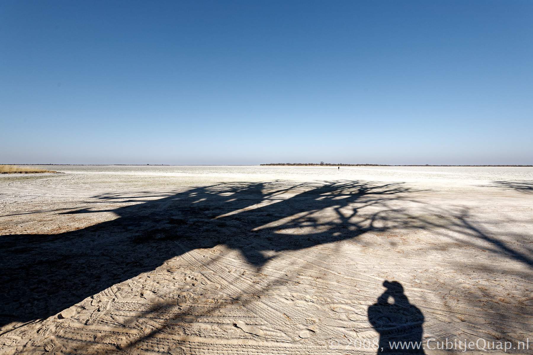
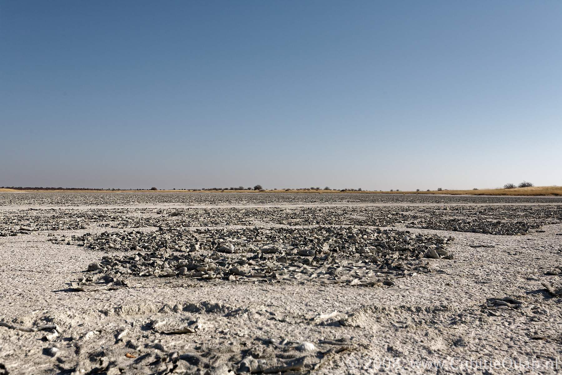
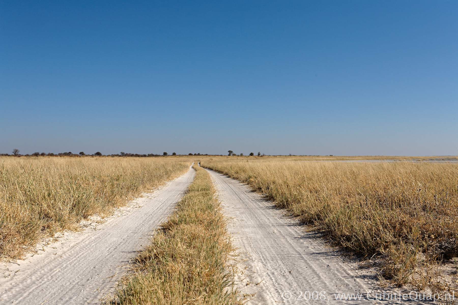
Nxai Pan National park comprises three fossil pans, all of which are covered in short, nutritious grasses. On the pans are islands of Acacia trees that form shady spots in which the animals rest during the day. Centrally located within the park boundaries is Nxai Pan. To the North-East is the similar but smaller Khama Khama Pan.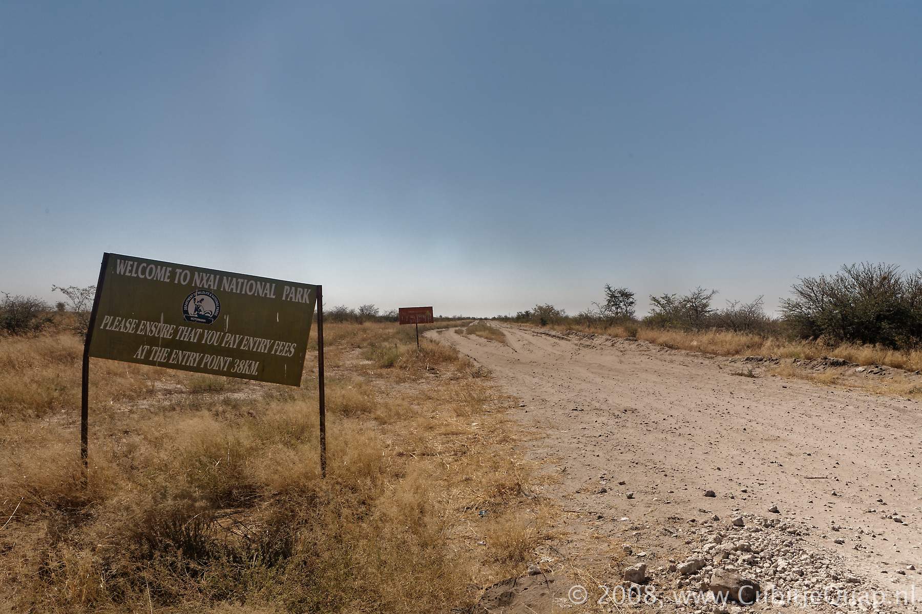
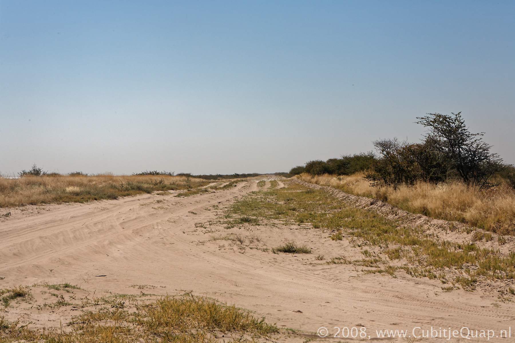
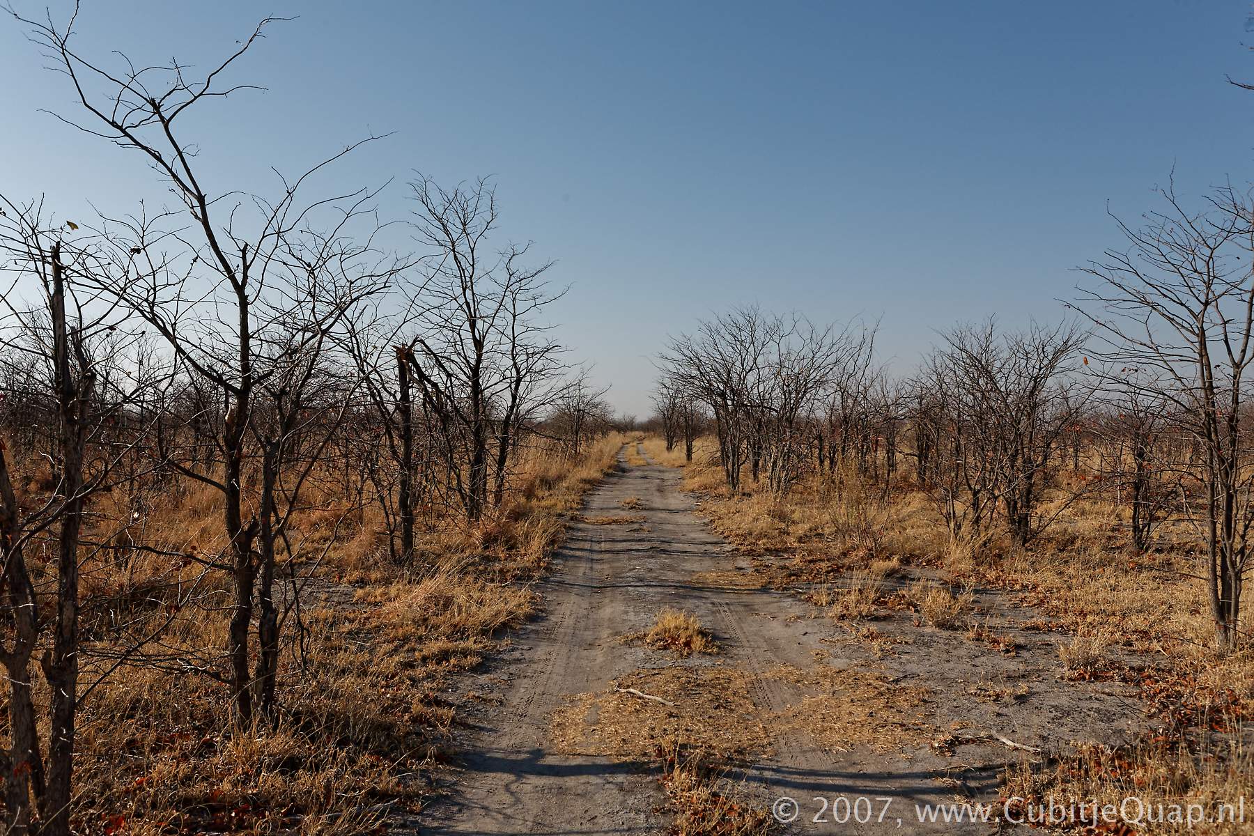
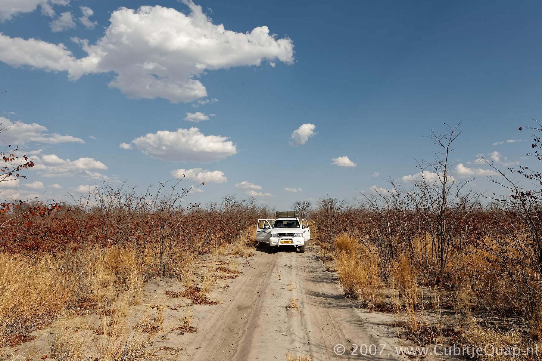
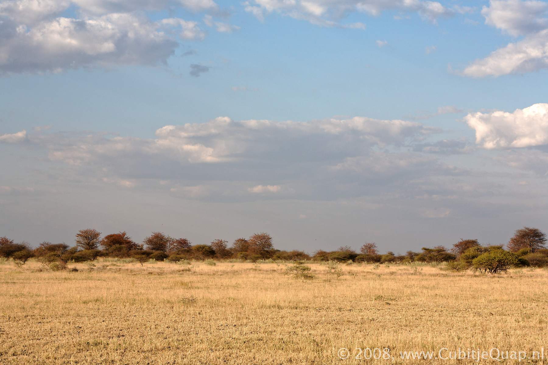
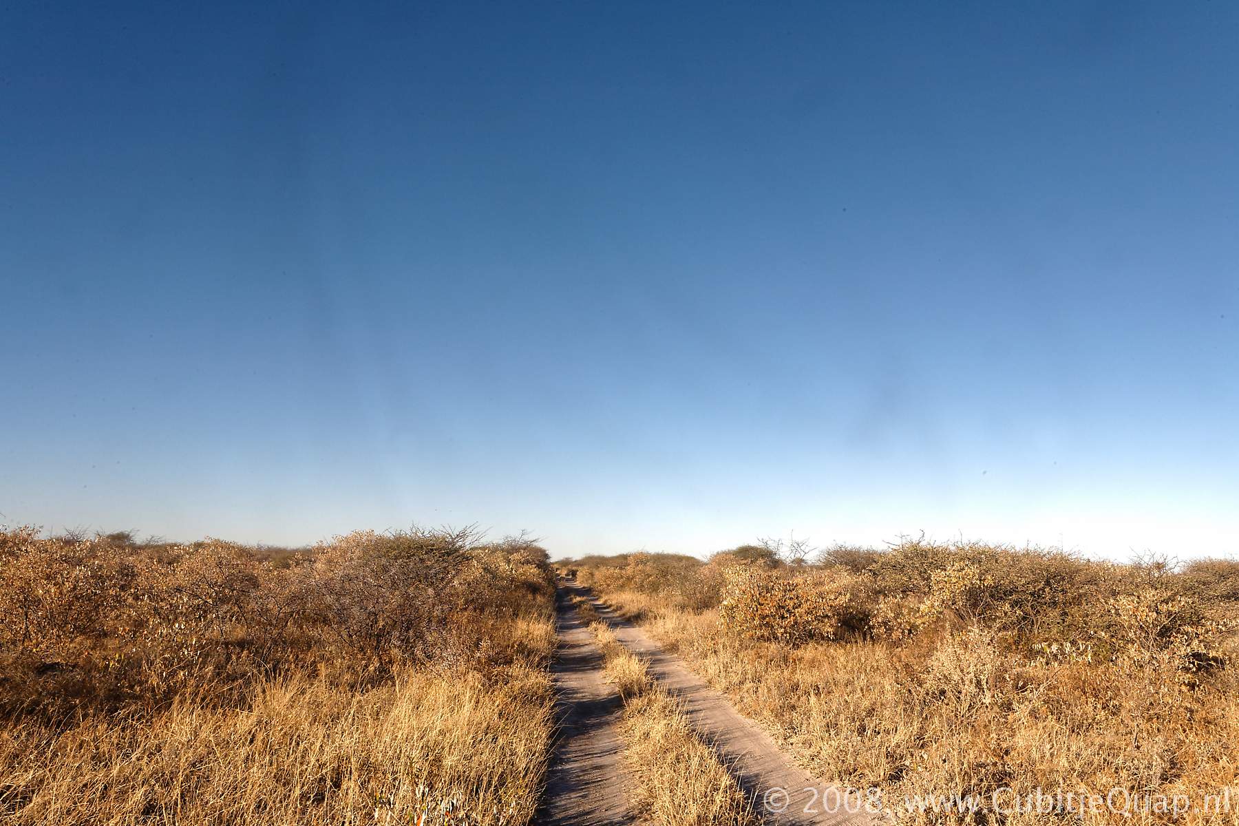
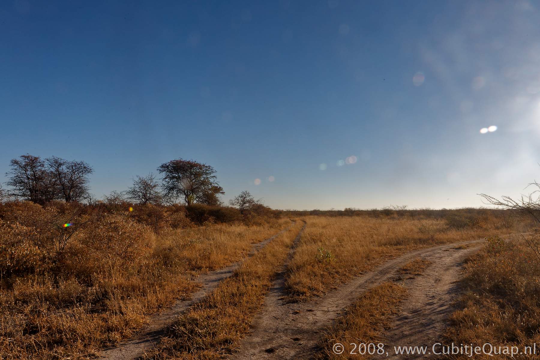
Khama Khama Pan
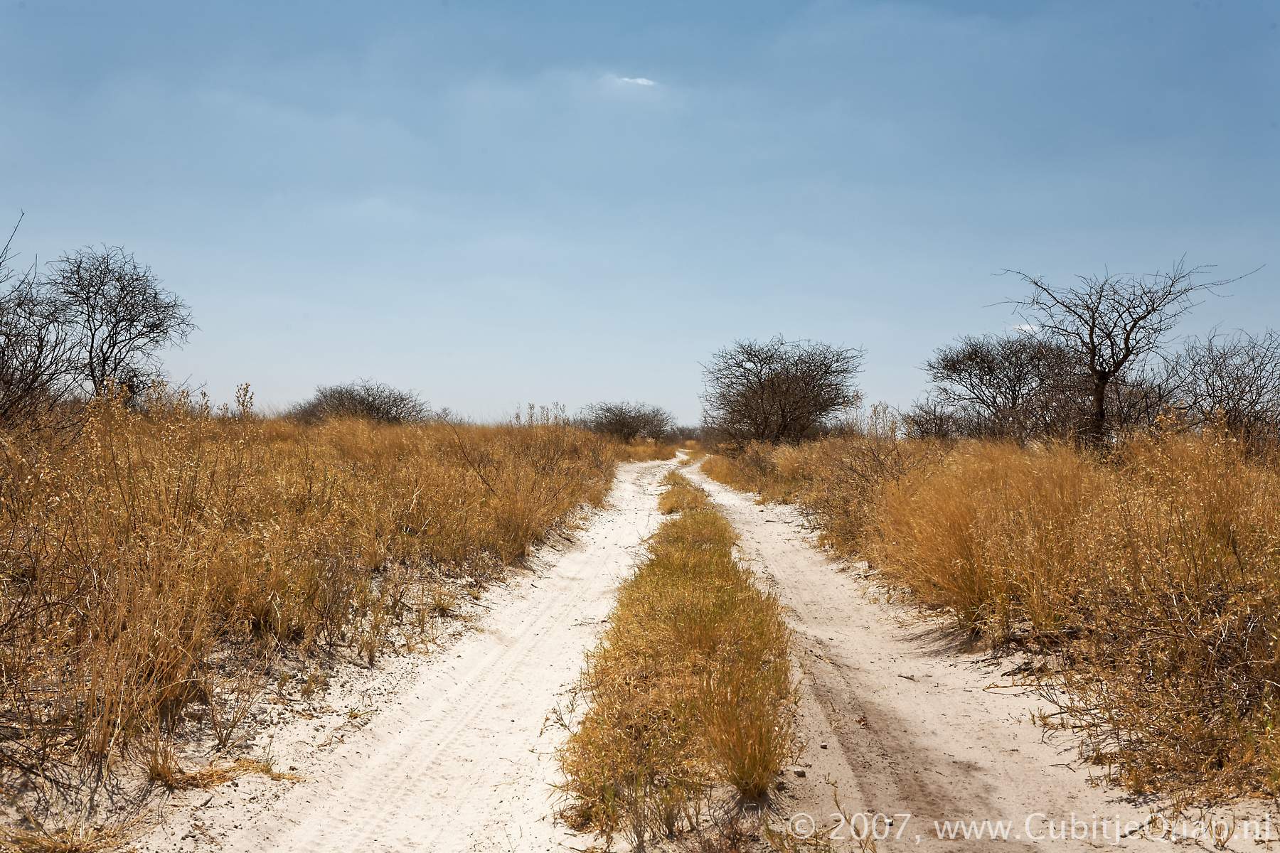
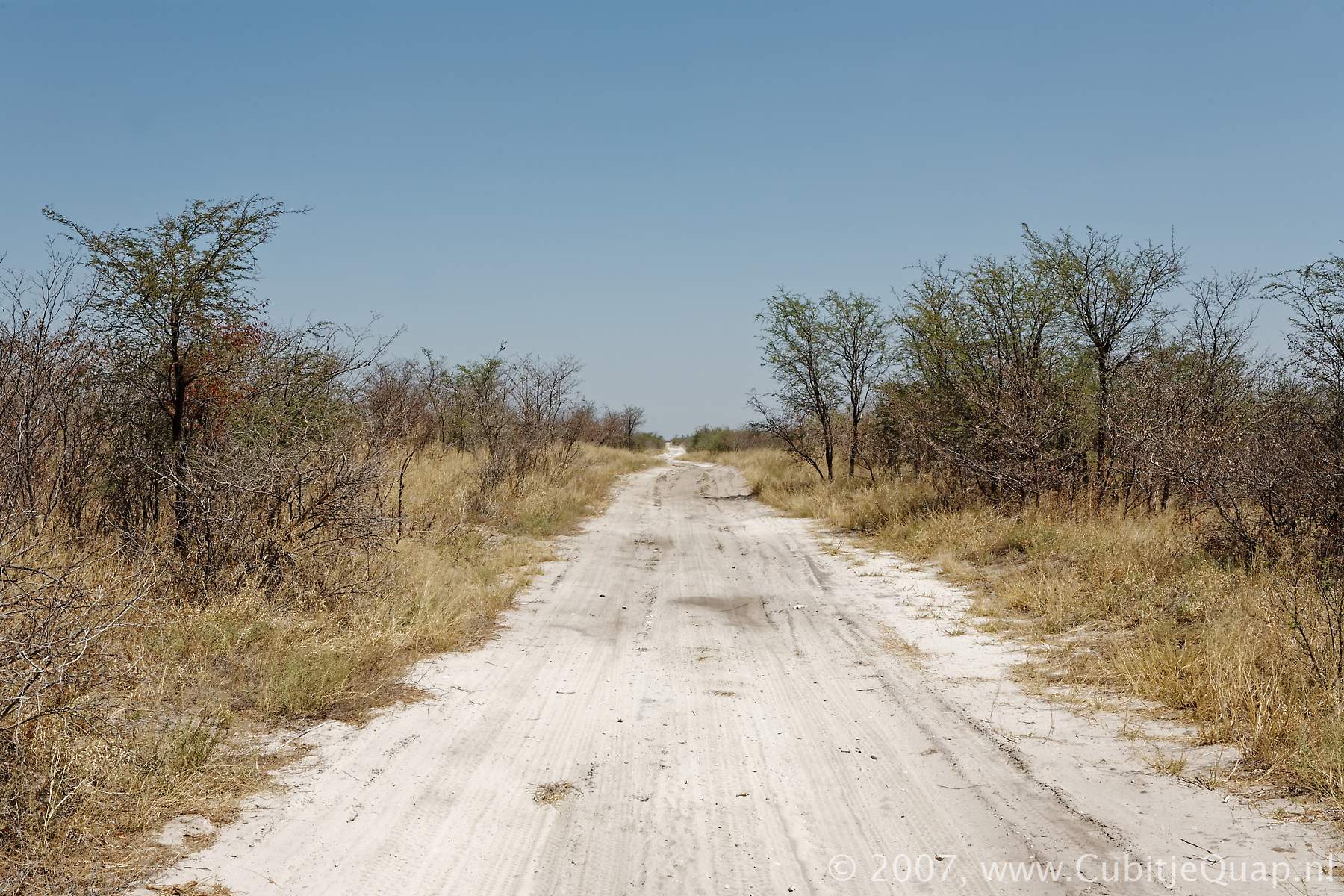
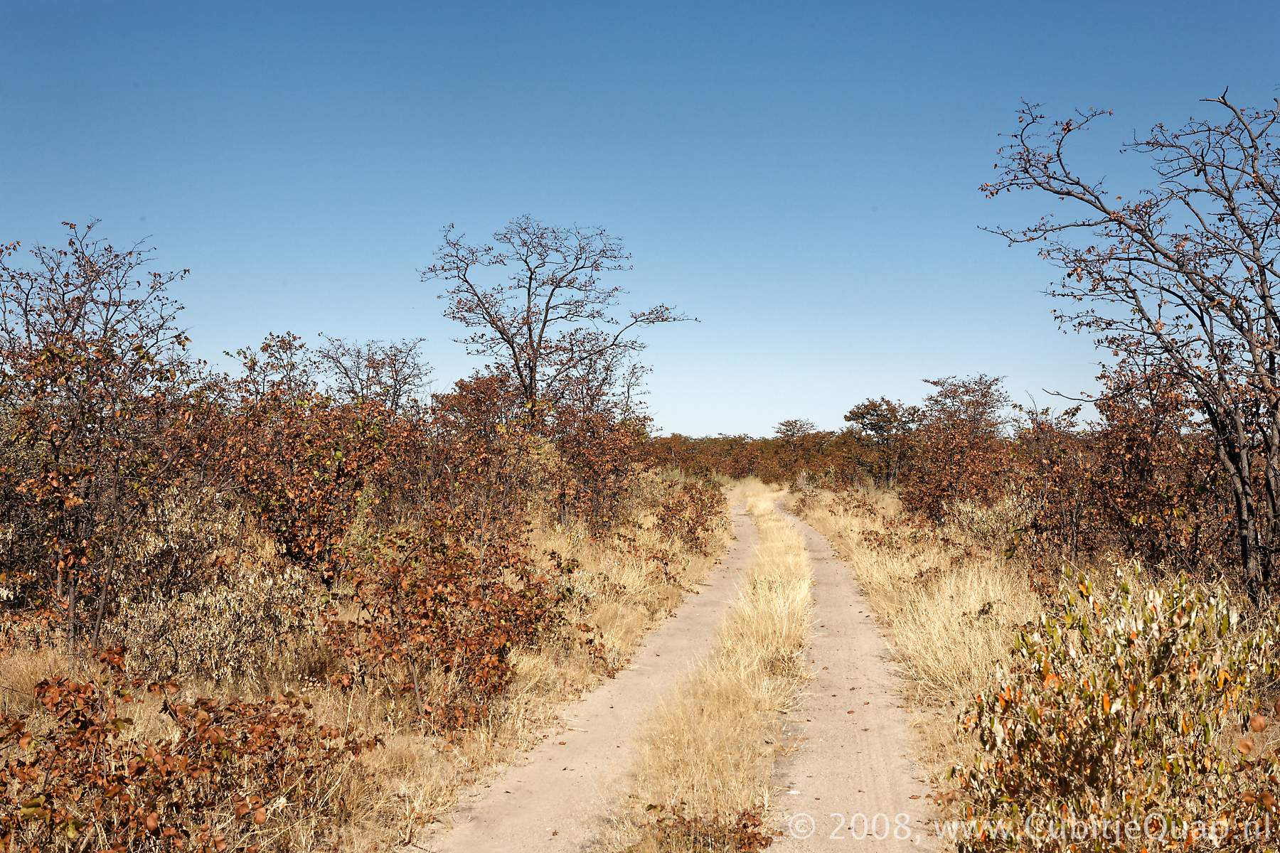
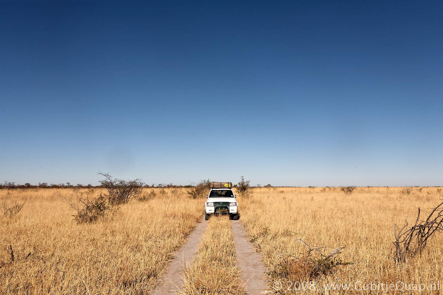
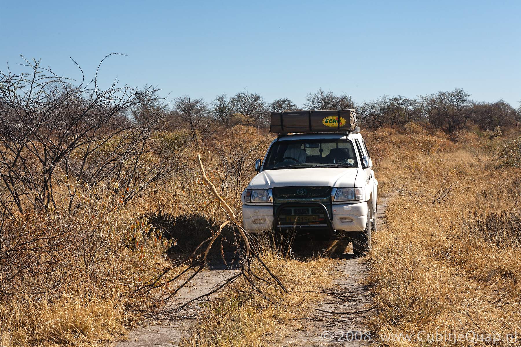
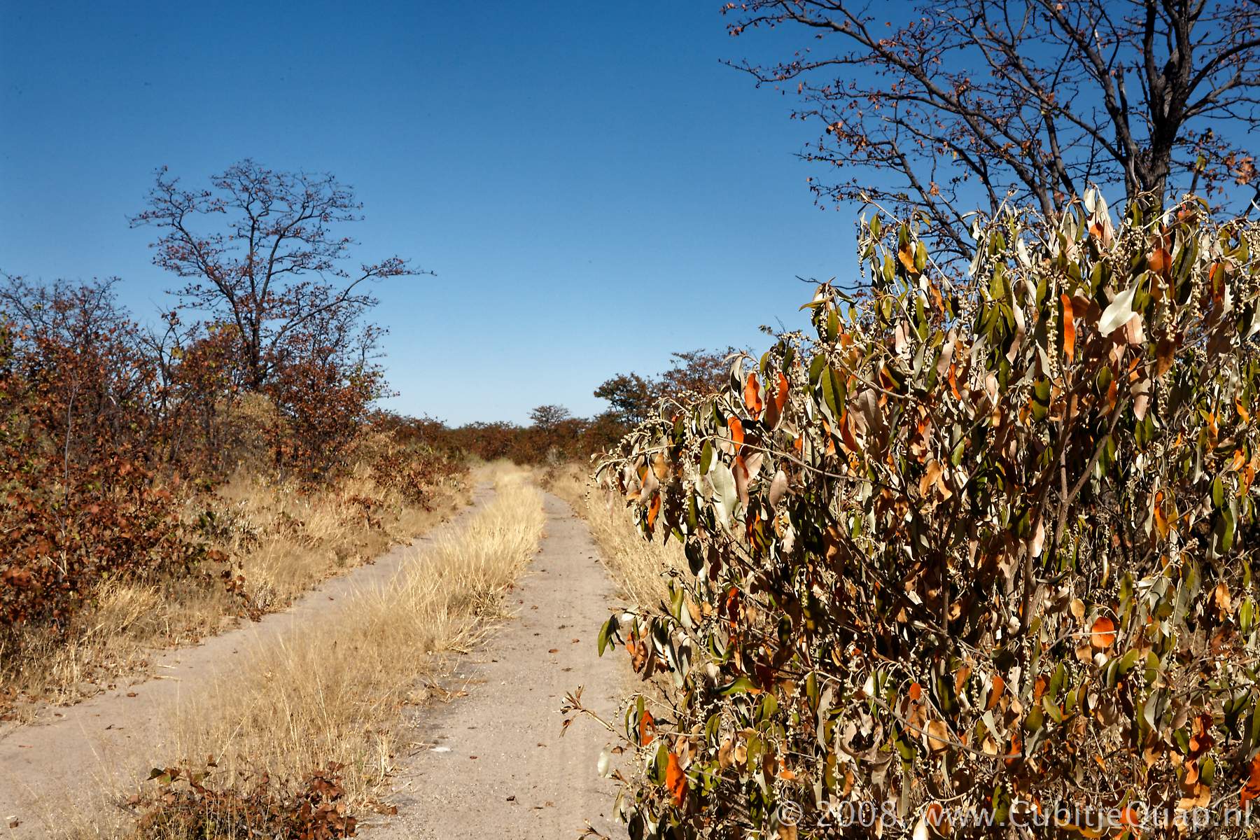
Khama Khama Pan in the north-eastern part of Nxai Pan is very remote and only accessible via a single track.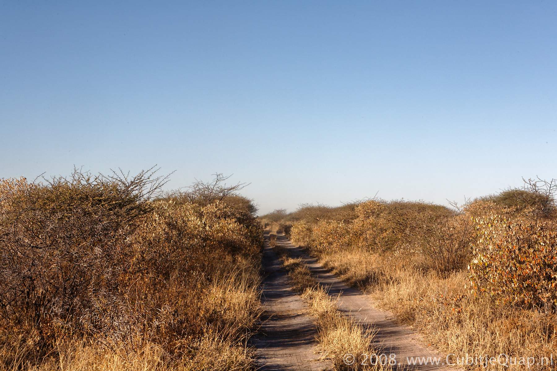
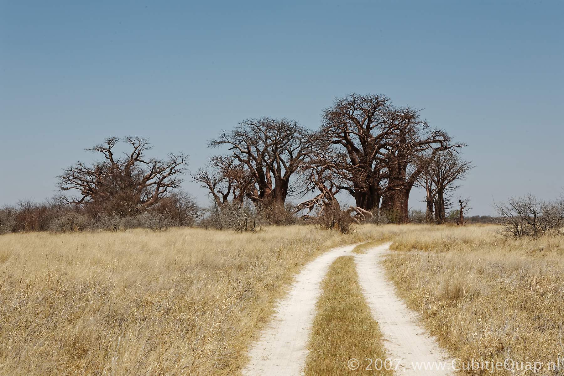
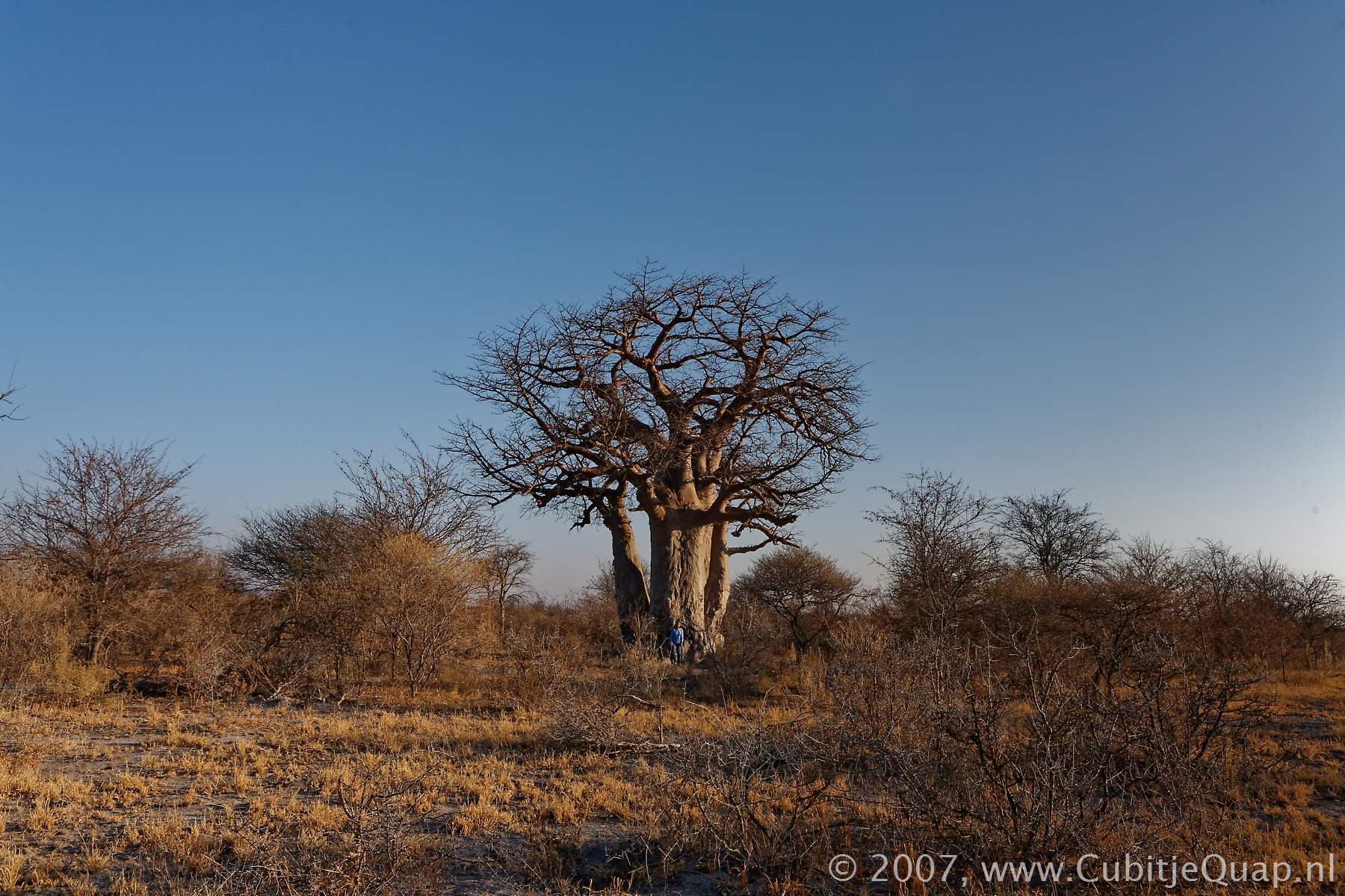
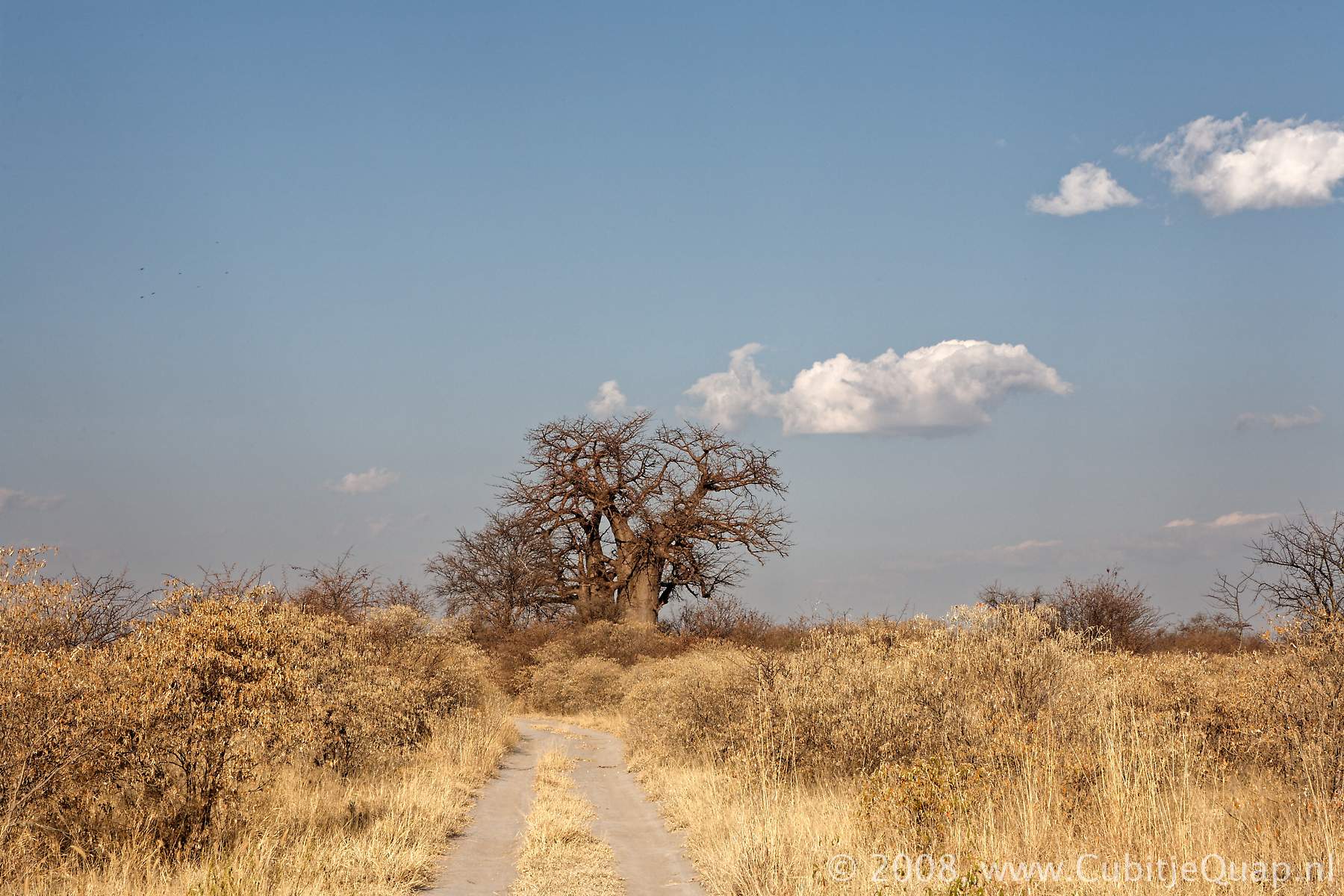
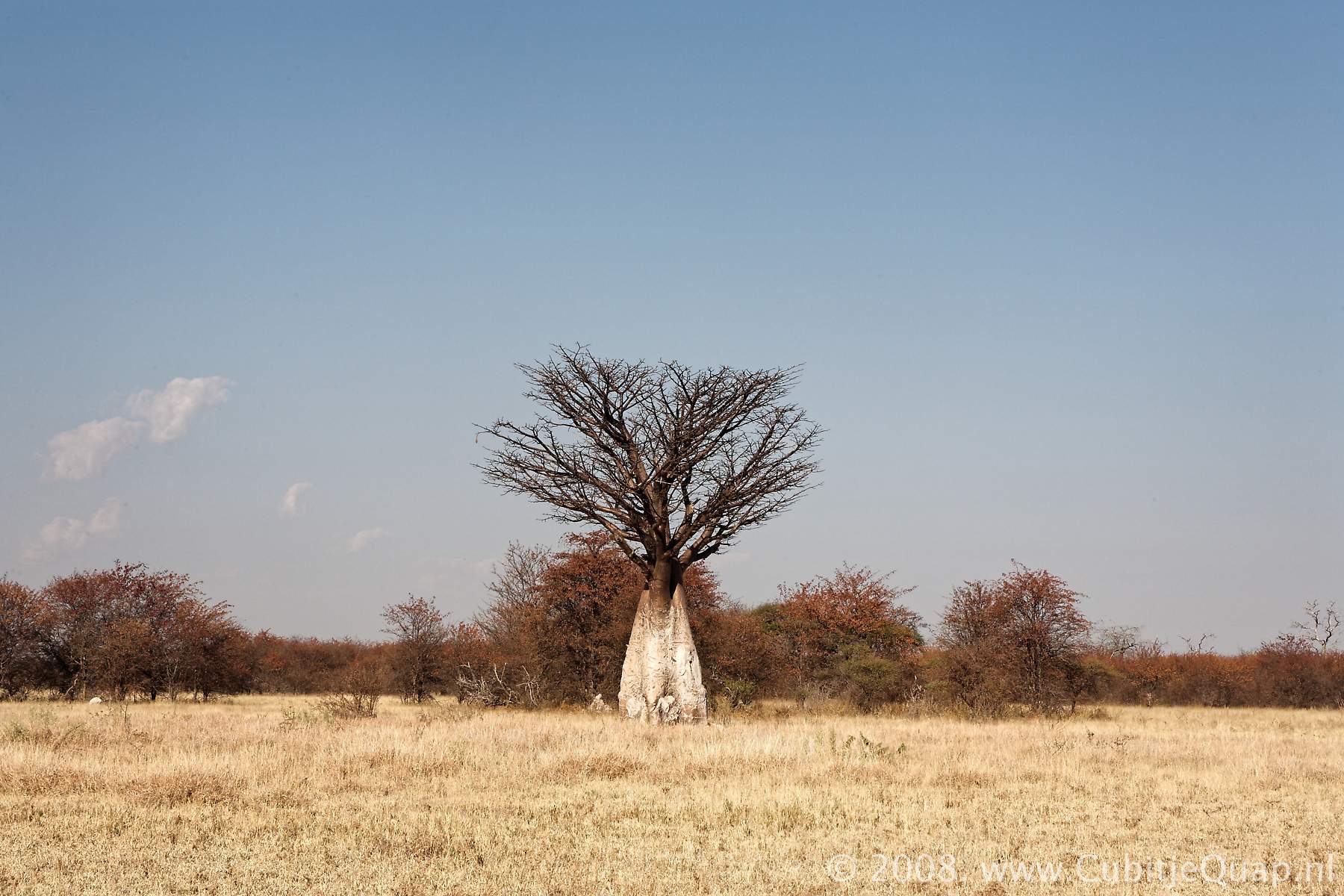
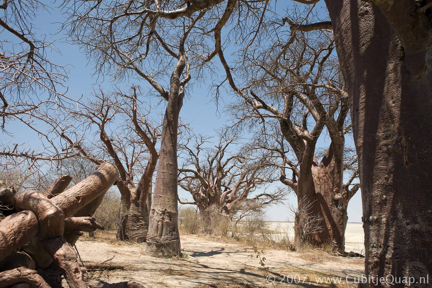
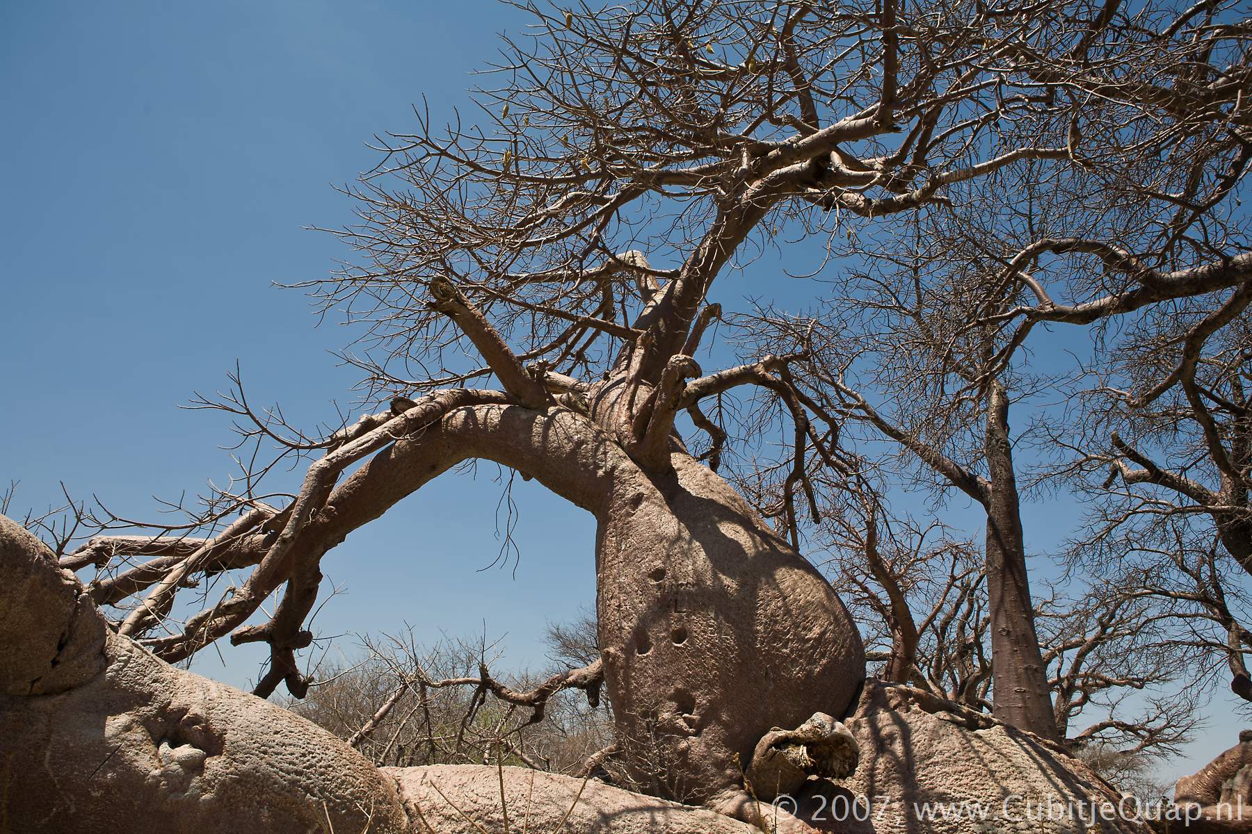
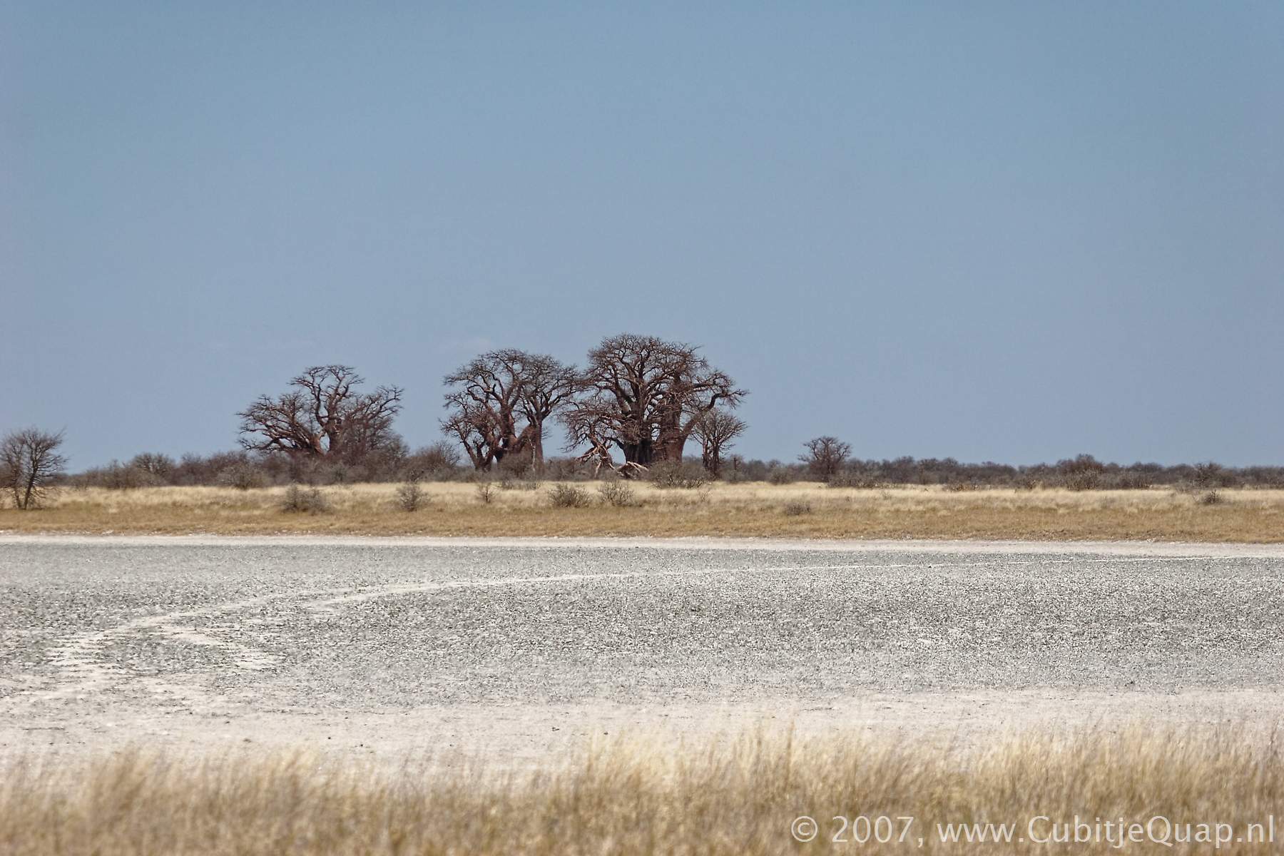
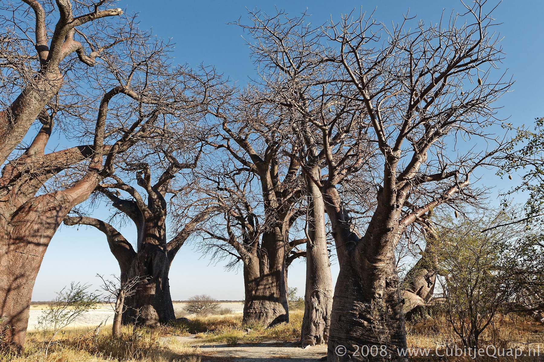
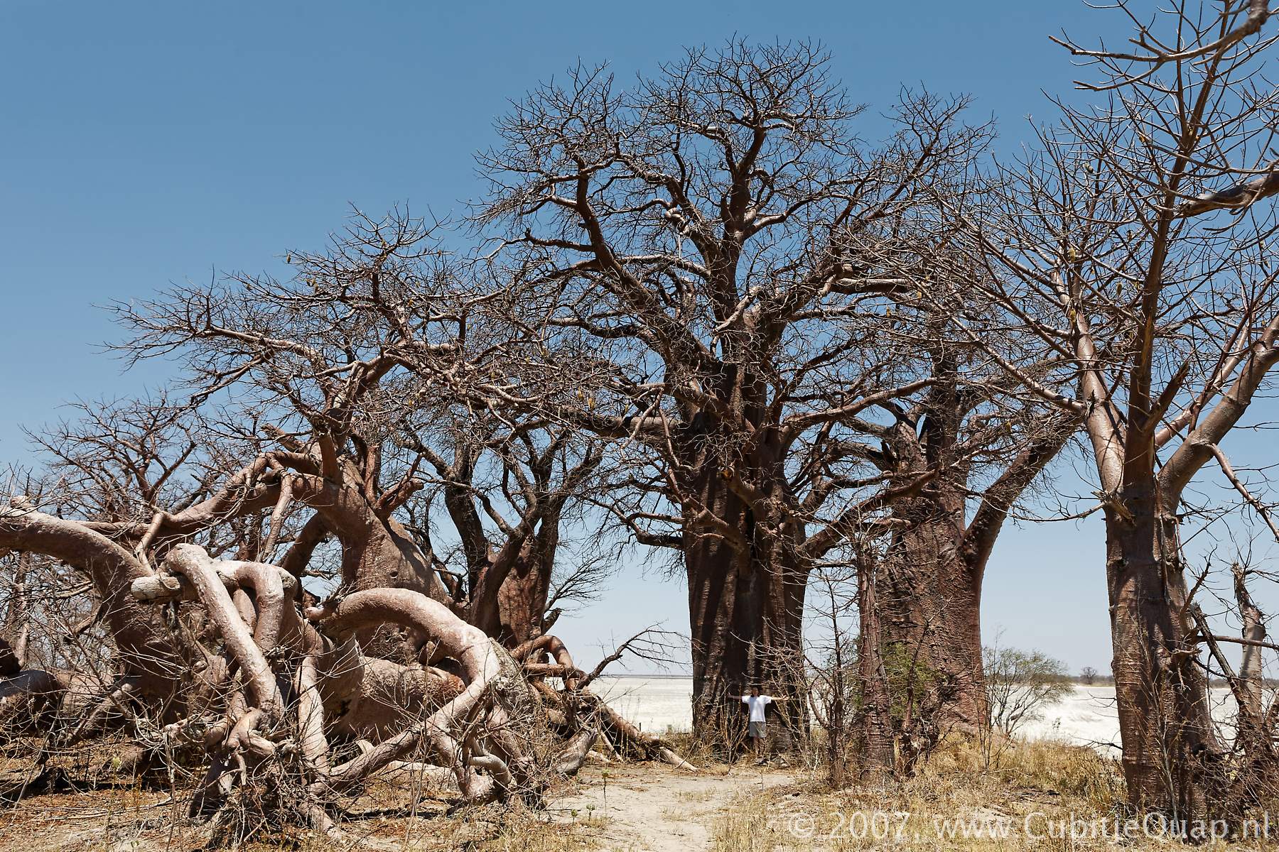
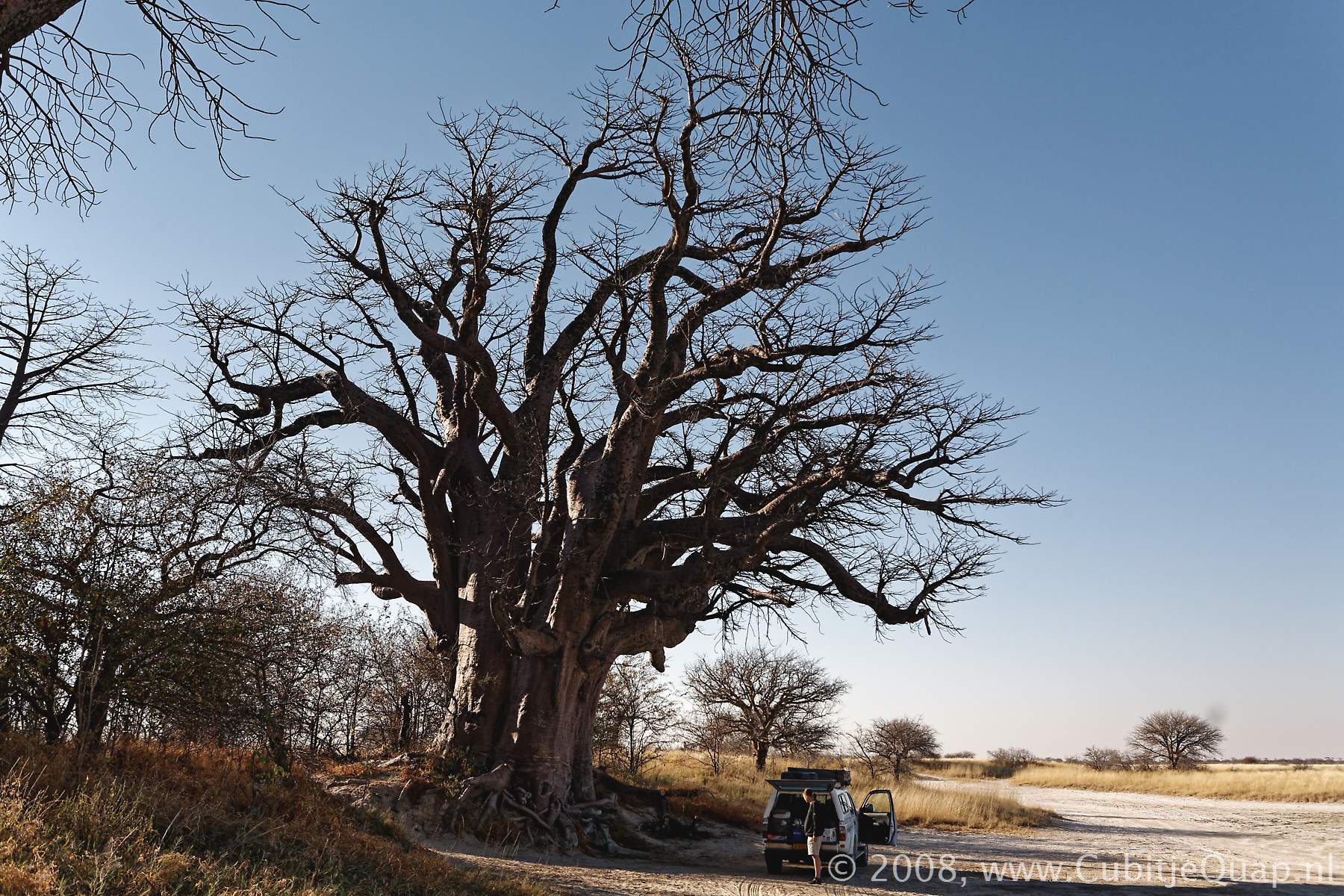
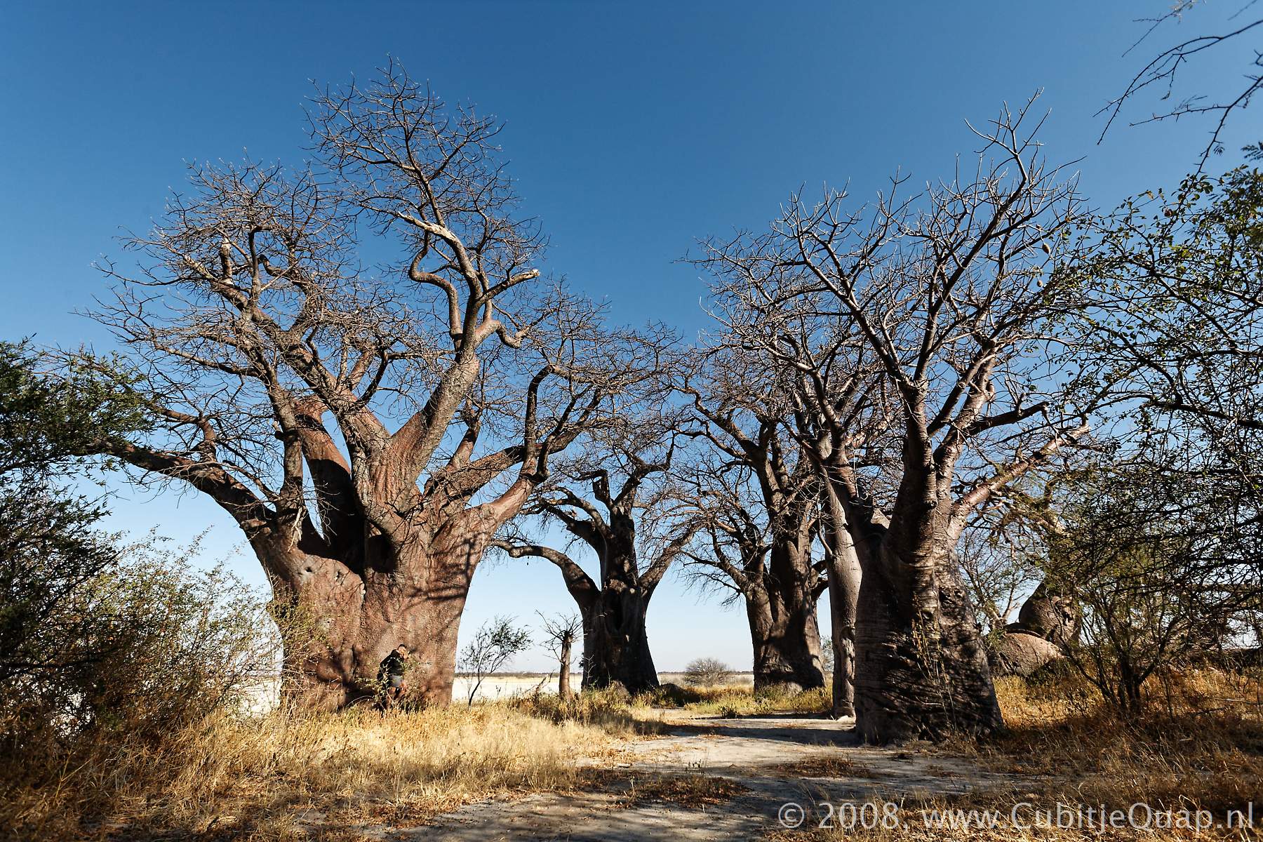
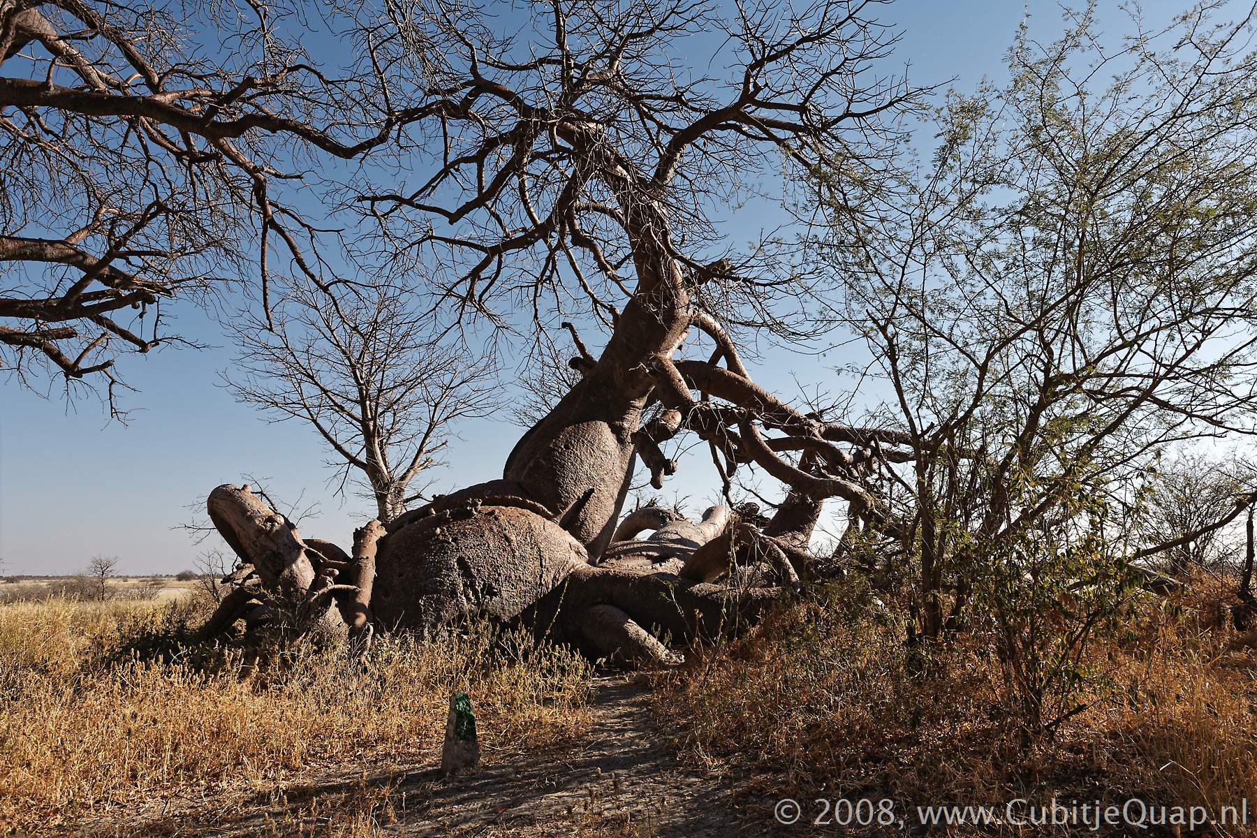
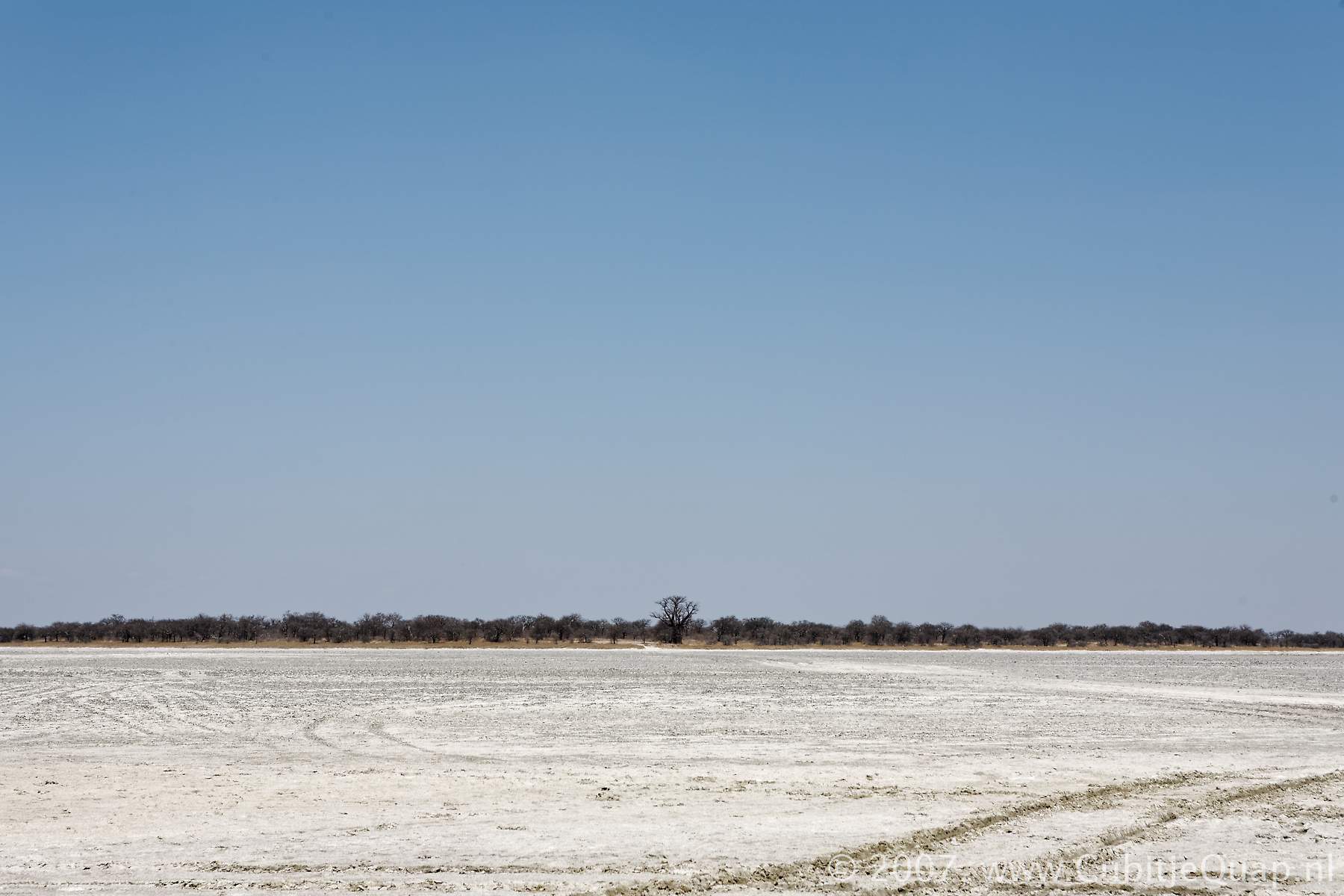
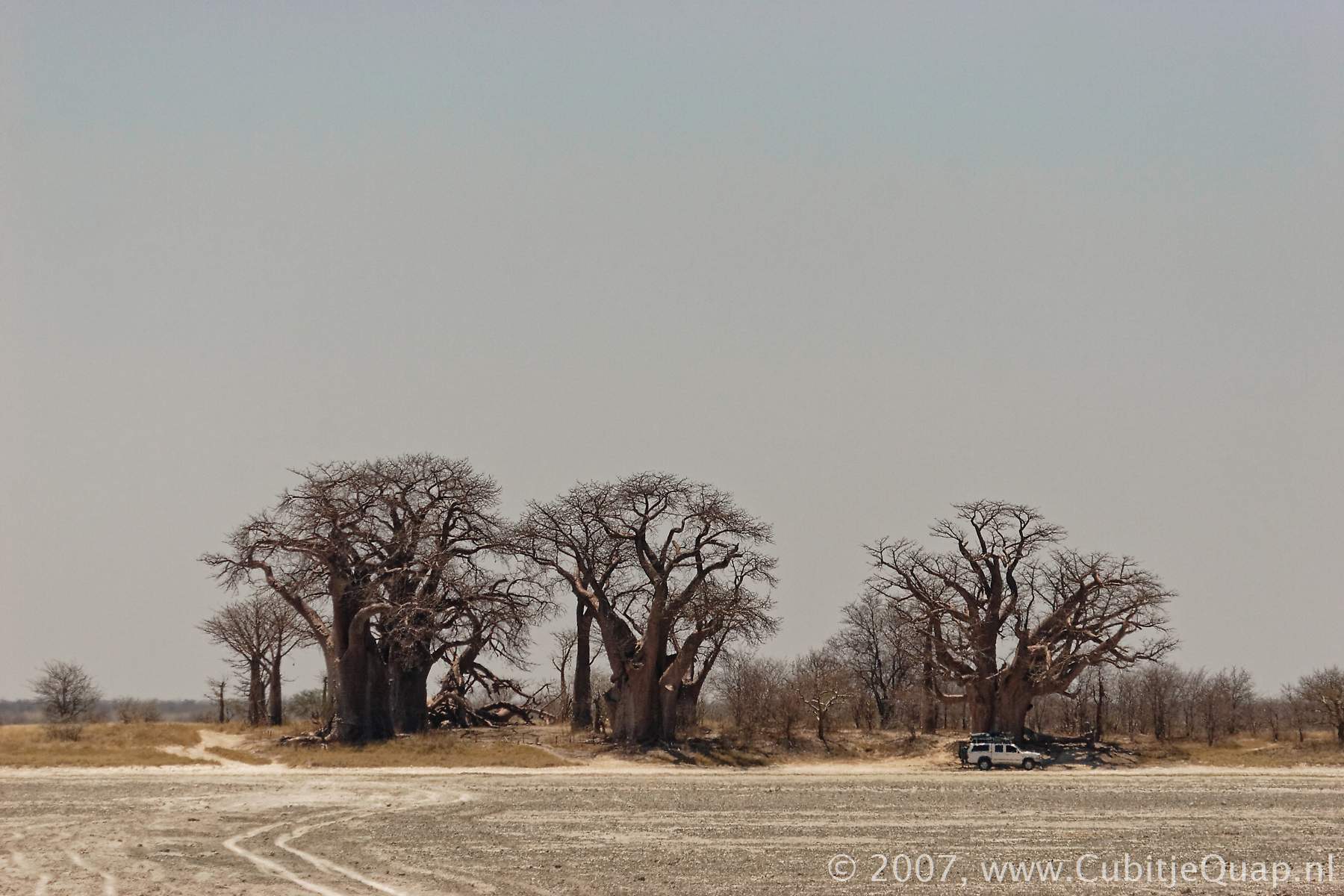
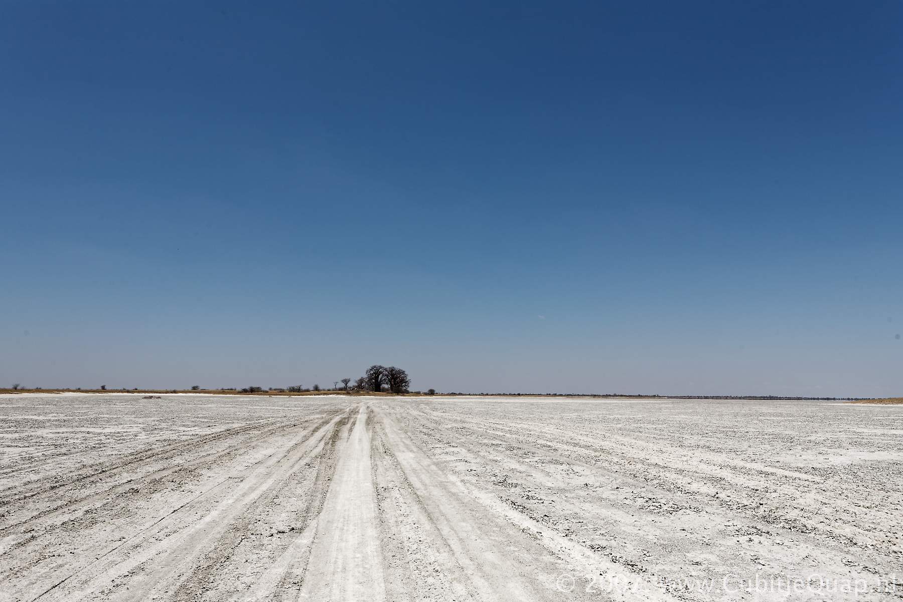
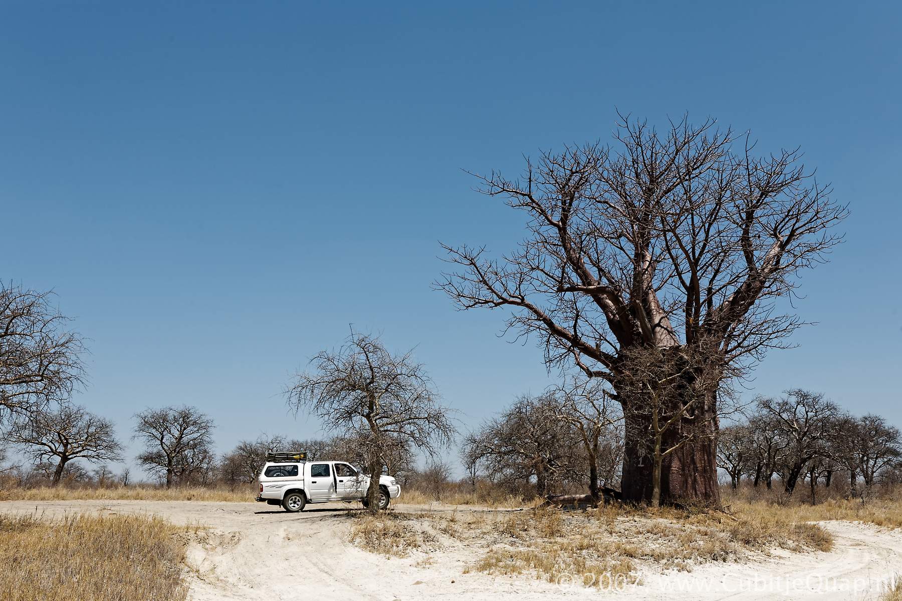
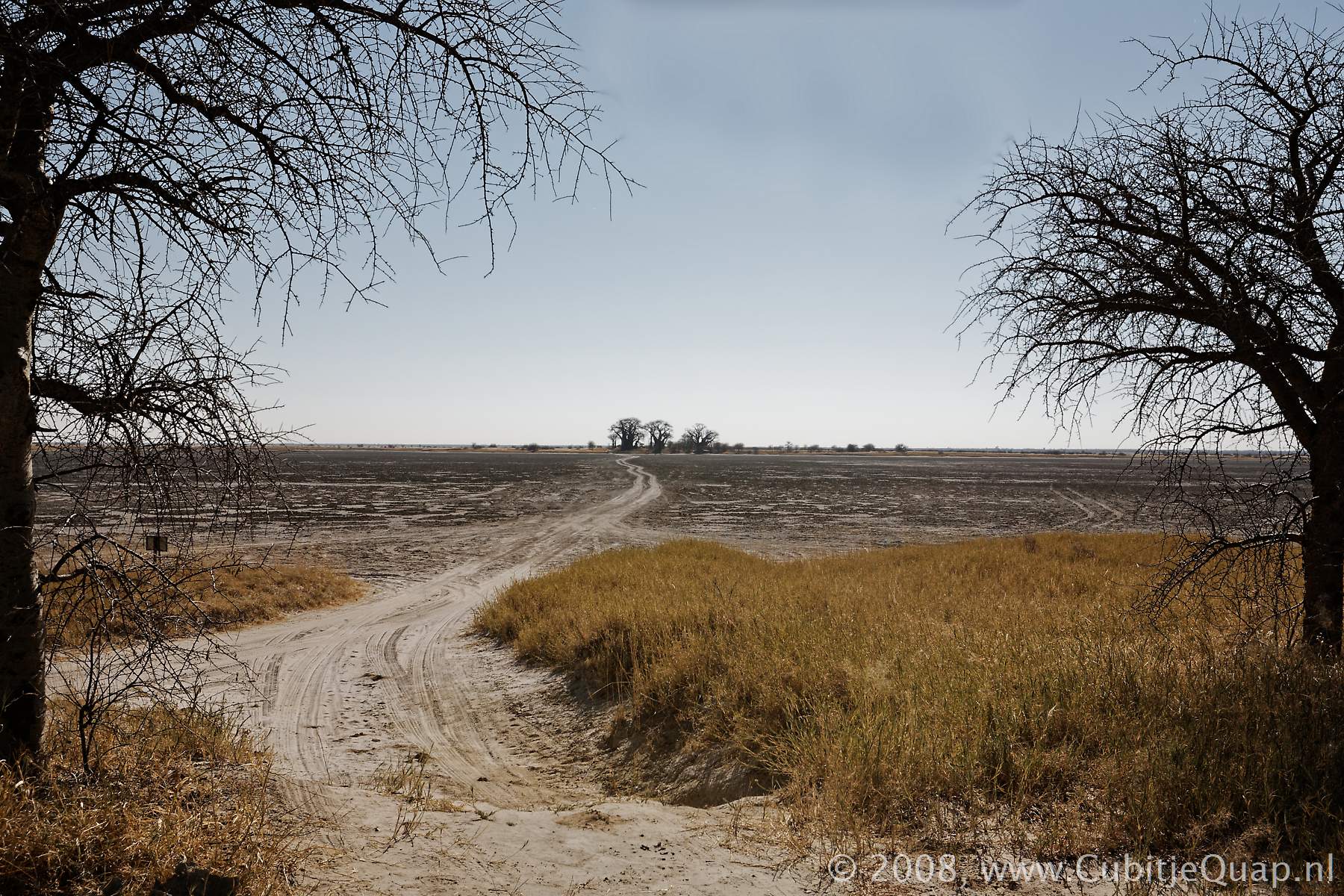
Baines's baobabs
Kubu island is situated 31 km south of the official entry gate to the park. Baines's Baobabs were named after the famous explorer, Thomas Baines, who painted them during a two-year journey between 1861 and 1863. He was travelling from Namibia to Victoria Falls with the explorer James Chapman, who knew the area well. Baines noted the precise date that he painted the Baobabs as 22 May 1862. Interesting to note here is that in the 145 years that have since passed, there is little evidence of change in the seven giants.