Makgadigadi Pans National Park
History
Makgadigadi Pans was declared a game reserve in 1970, but in December 1990 it was enlarged and declared a national park. Today it comprises 4900 km²Location
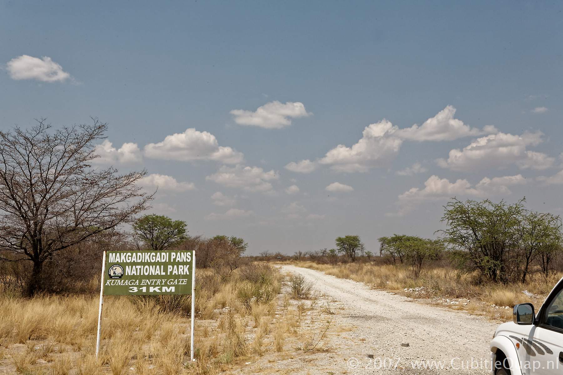
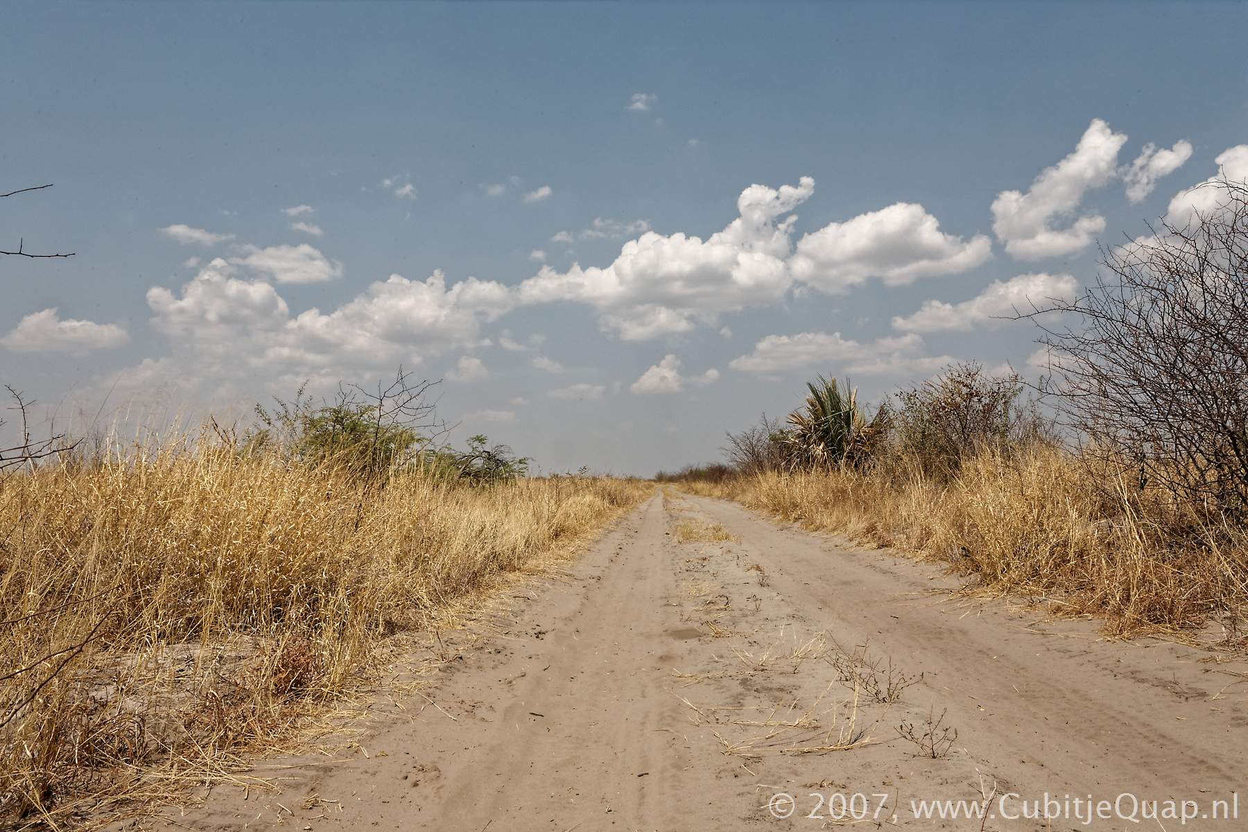
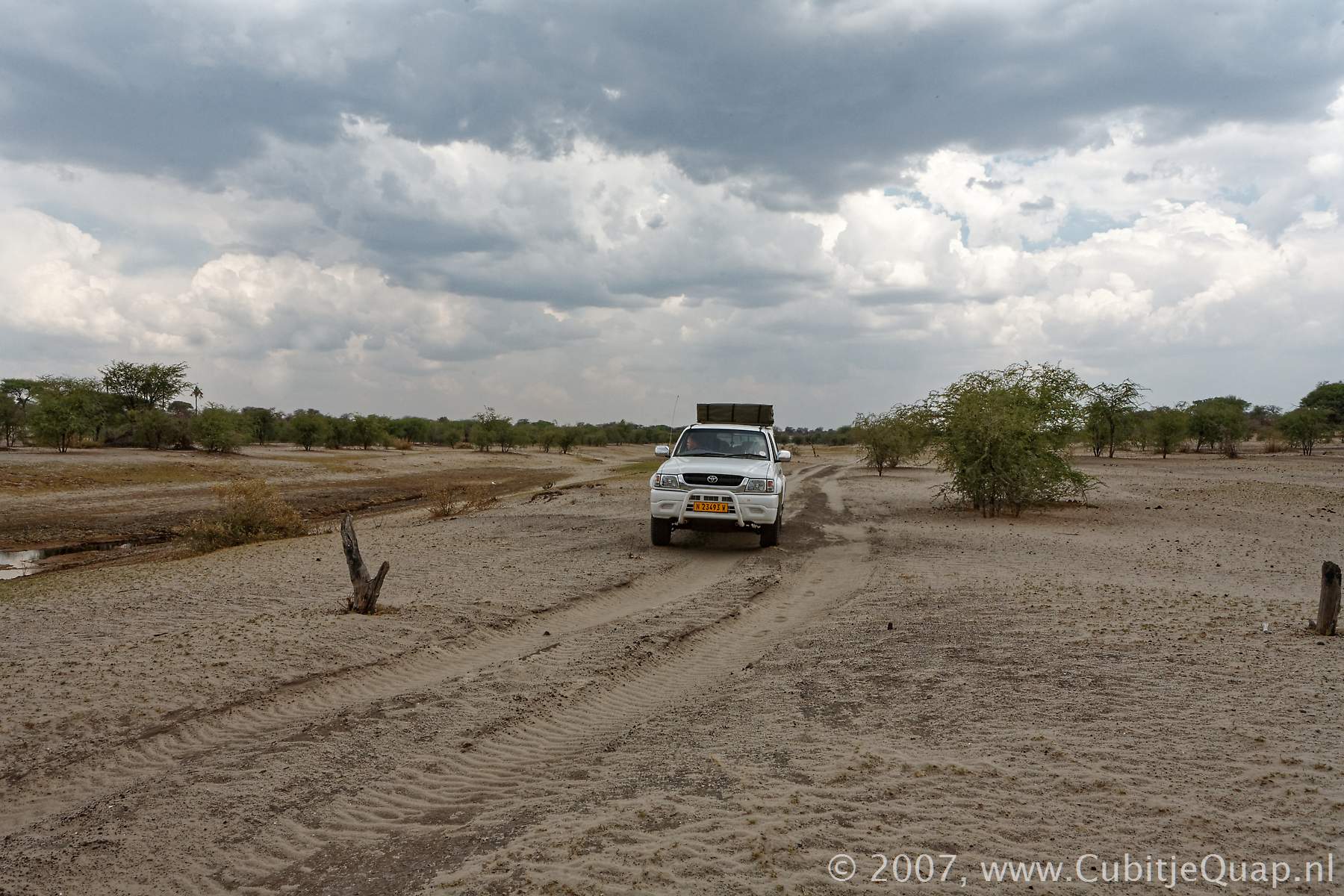
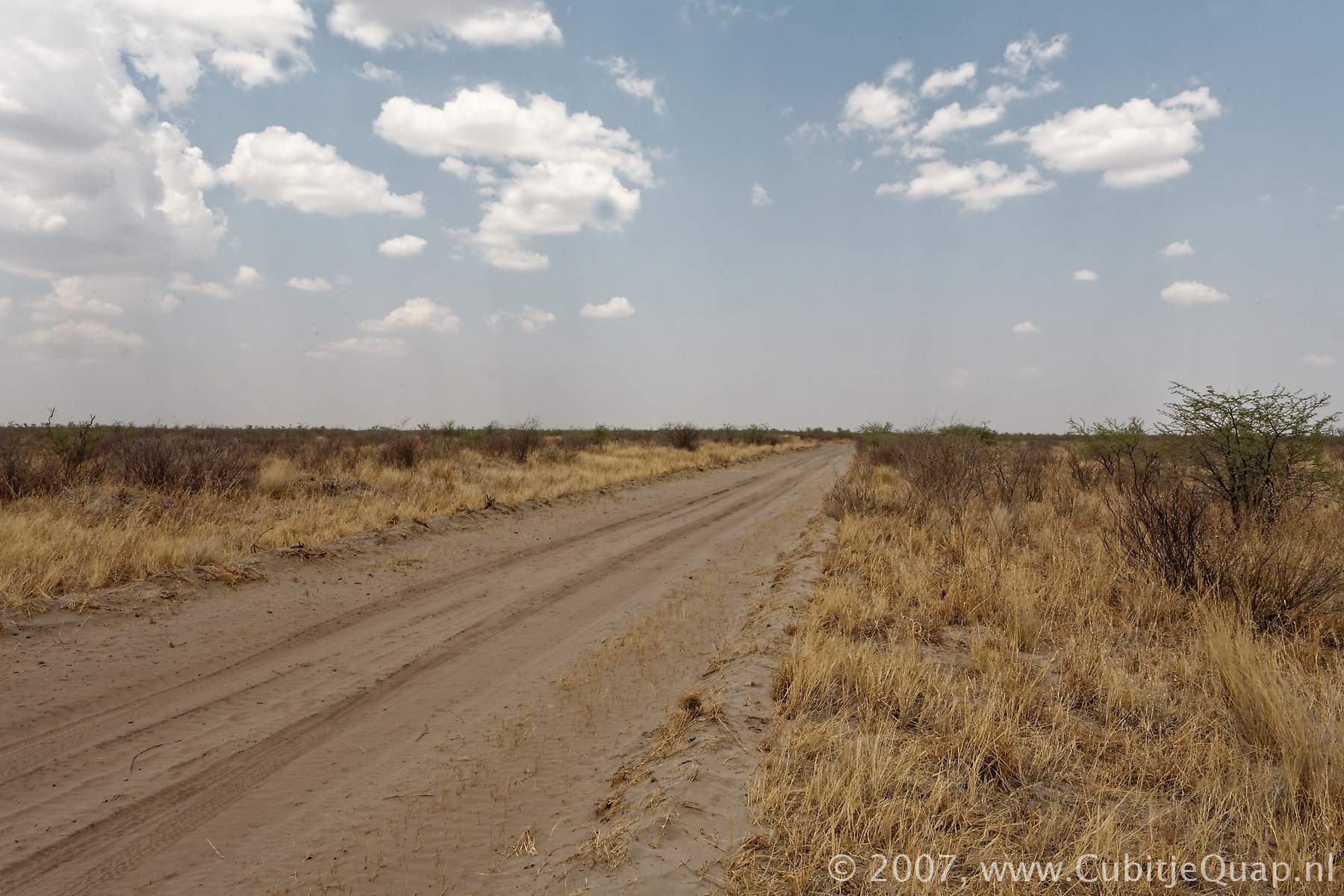
Makgadigadi Pans National Park is situated south of the main Nata – Maun road. The entry road leading to Khumaga camp is situated 132 km east of Maun and the turnoff to the official entry point at the game scout camp is situated 162 km east of Maun.Makgadigadi Pans National Park was originally state land. Although there is a total lack of surface water, except for the shallow pans during good rains, people used to live in the interior of the park before it was declared state land. Along the western border, there are a number of villages – evidence that historically the Boteti River was the vein of life for the people of this area as well as their livestock. Whilst it was still state land, villagers were allowed to graze their livestock inside the boundaries during the dry season.
Natural environment
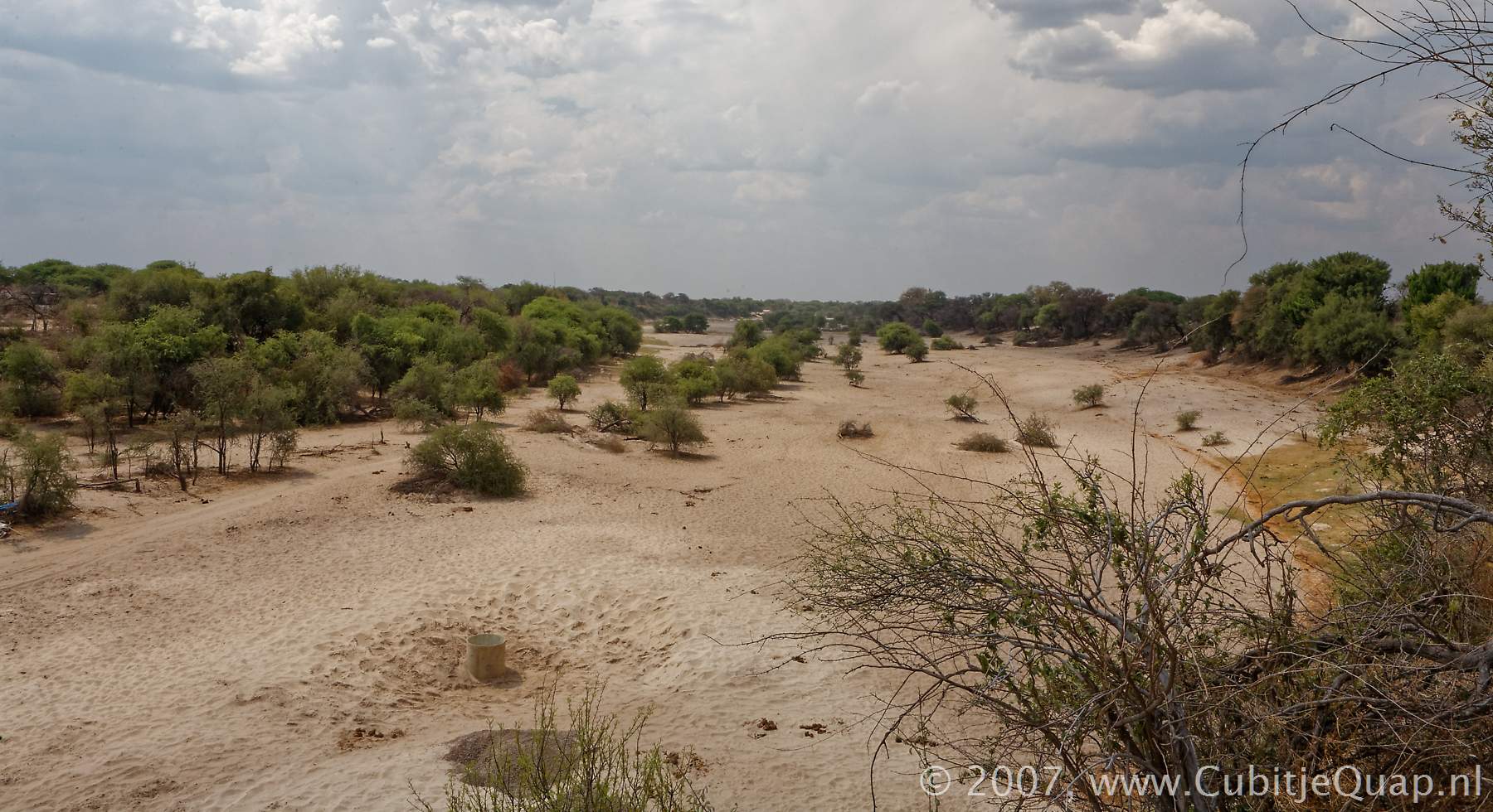
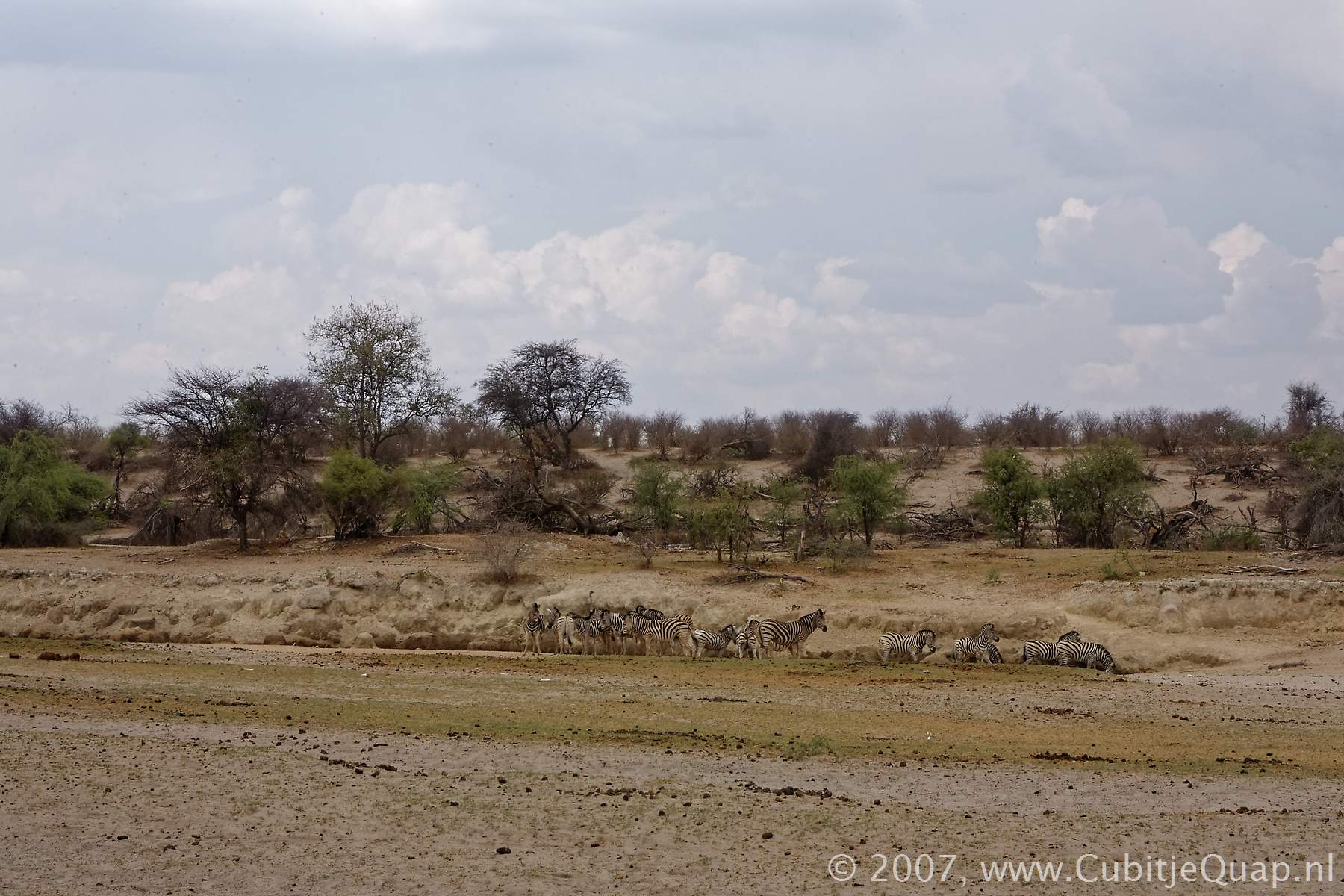
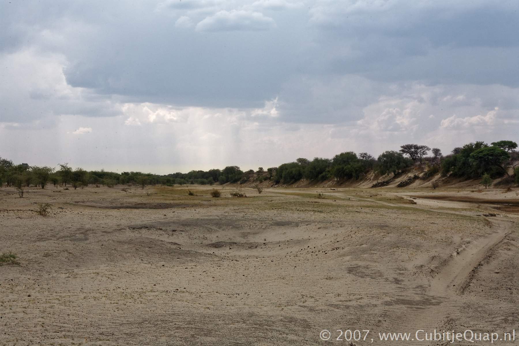
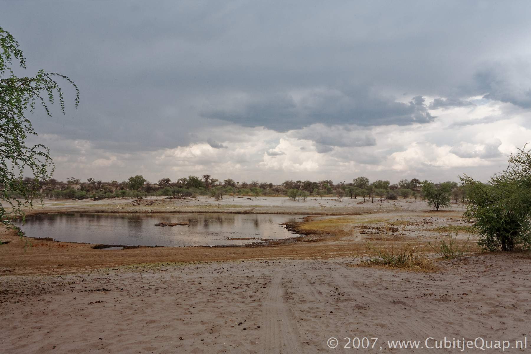
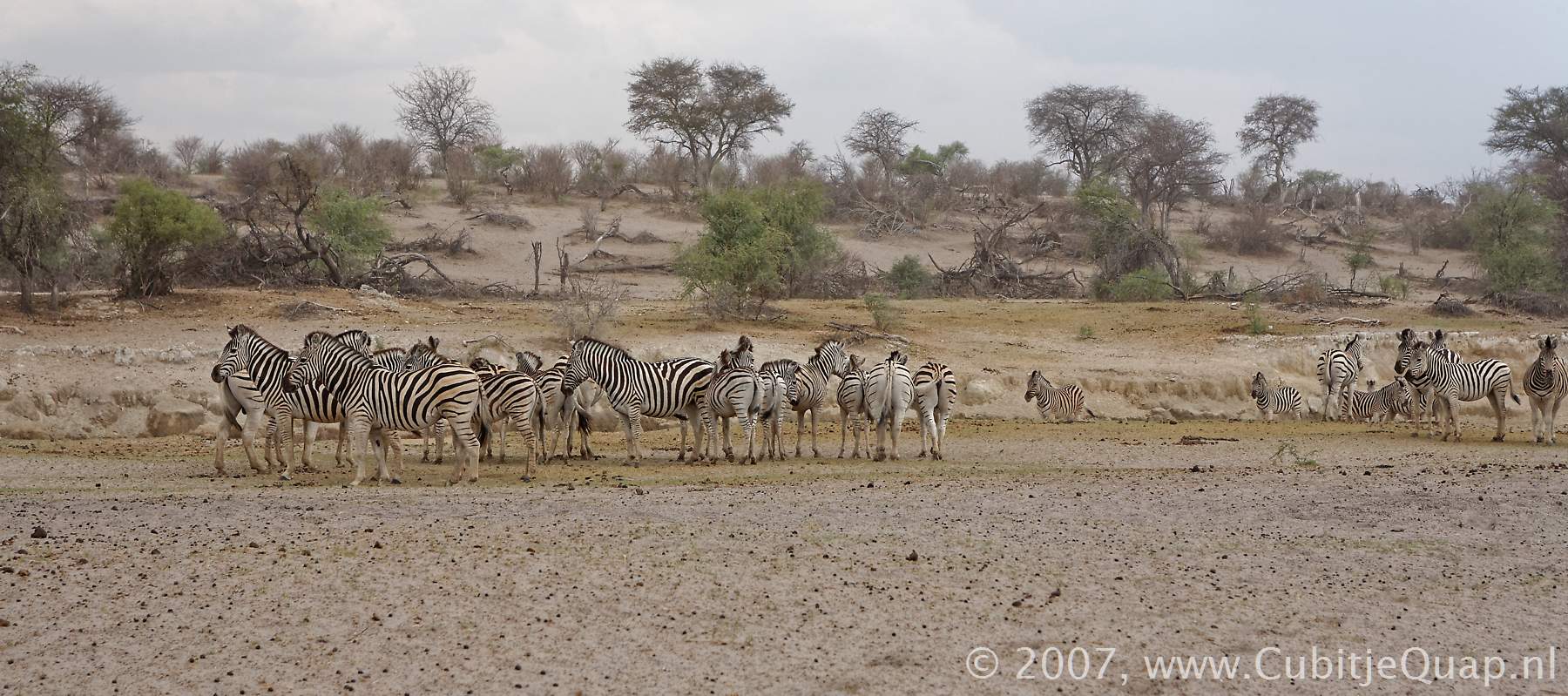
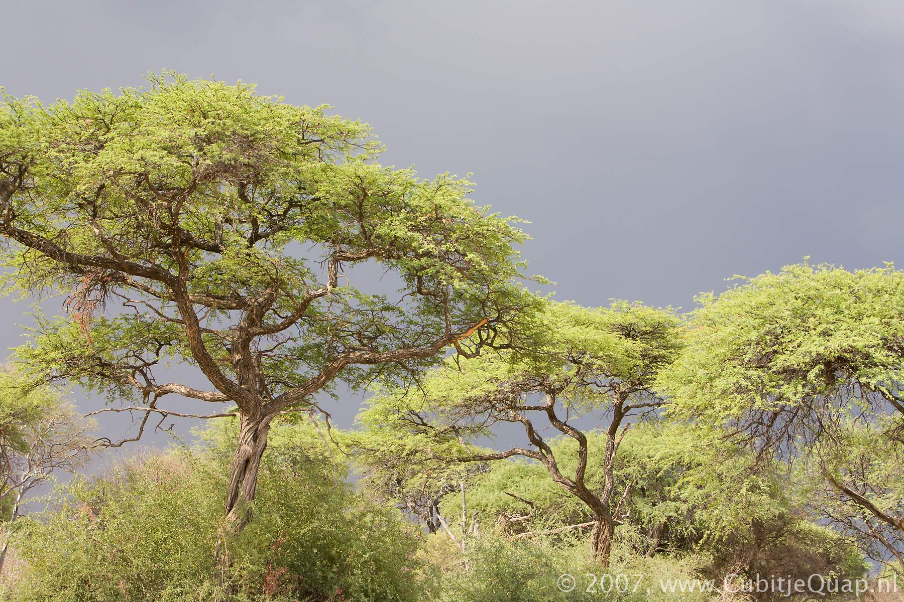
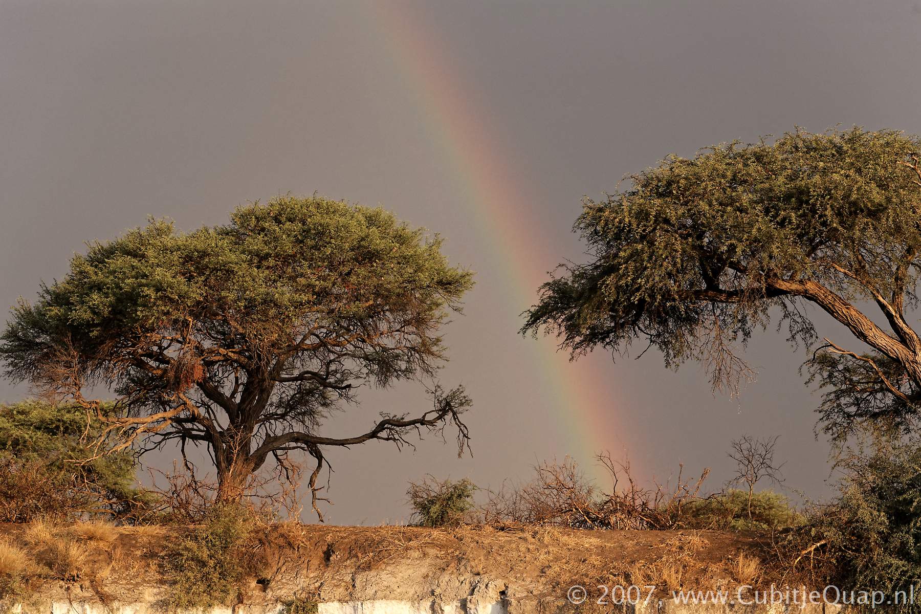
Approximately one fifth of the reserve comprises salt pans and the rest consists mainly of rolling grasslands which yield very nutricious grasses. These grasslands attract thousands of animals each year between October and April but their presence is erratic, depending on local rains.The western border is formed by the Boteti River with its thick sand a lush riverine vegetation. The river only occasionally flows to capacity. It does, however, have a few perrenial pools, some of which have Hippos. These pools are a vital source of water to the migratory Wildebeest and Zebra.